Elevation of Clay, IA, USA
Location: United States > Iowa > Shelby County >
Longitude: -95.080691
Latitude: 41.5490464
Elevation: 380m / 1247feet
Barometric Pressure: 97KPa
Elevation Map:
Satellite Map:
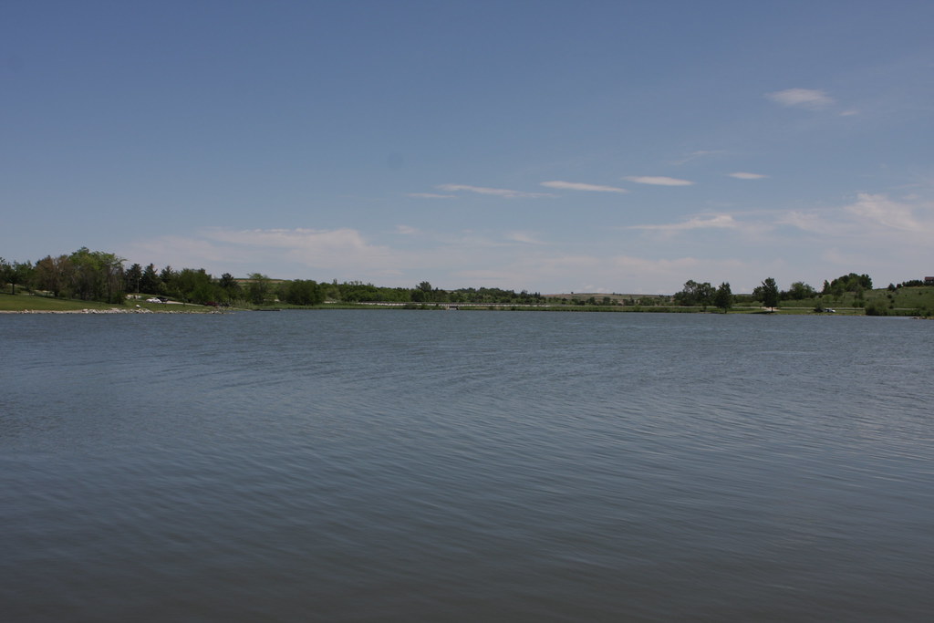
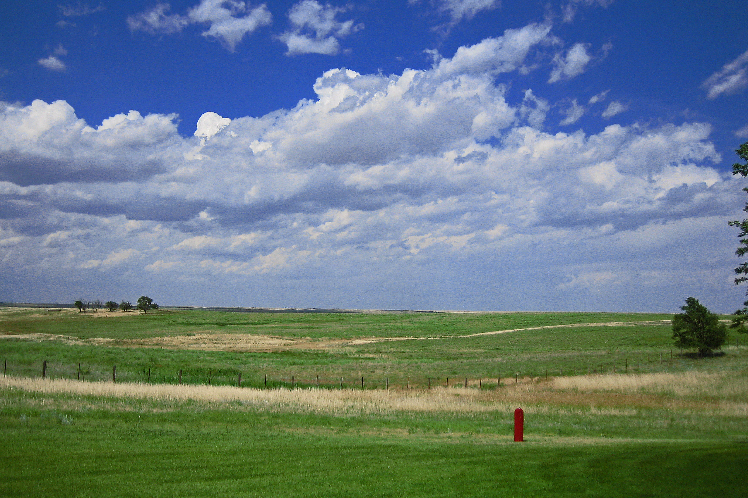
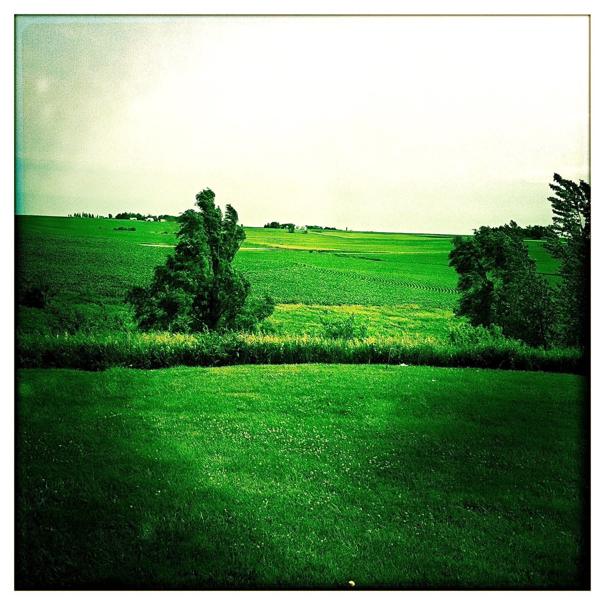
Related Photos:
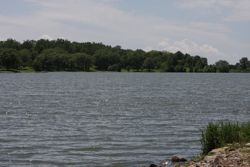
2011-09-01 13.24.50
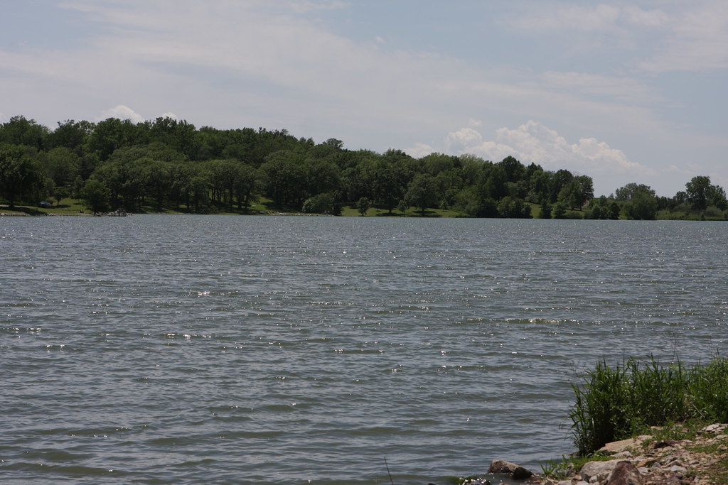
2011-09-01 13.22.16

Hoar Frost
Camera Roll-14
IMG_03932.JPG
IMG_03931.JPG
IMG_03923.JPG

Landscape_080114_LR-6.jpg
IMG_03948.JPG
IMG_03937.JPG
IMG_03936.JPG
IMG_03939.JPG
IMG_03938.JPG
IMG_03935.JPG
IMG_03934.JPG

Lone billboard
Death & Energy
side of the road, IA
IMG_03933.JPG
IMG_03930.JPG
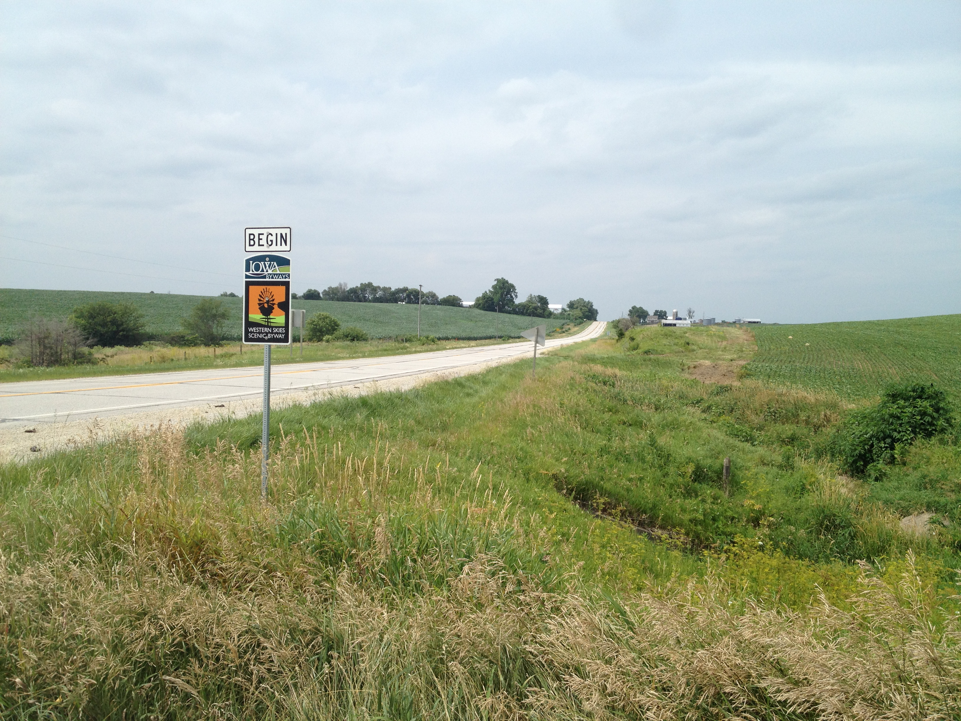
The Journey Begins
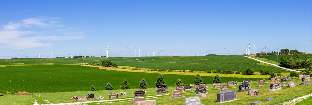
Iowa I

Iowa II

Iowa sunset
Topographic Map of Clay, IA, USA
Find elevation by address:

Places in Clay, IA, USA:
Places near Clay, IA, USA:
Elk Horn
Washington St, Elk Horn, IA, USA
Brighton
W 2nd St, Kimballton, IA, USA
Kimballton
Oakfield
Sharon
Marne
4242 Marne Rd
Pymosa
th St, Harlan, IA, USA
510th Street
Jackson
47706 W 2nd St
47706 W 2nd St
Layton
3271 Us-71
Brayton
Antique City Dr, Walnut, IA, USA
Walnut
Recent Searches:
- Elevation of Corso Fratelli Cairoli, 35, Macerata MC, Italy
- Elevation of Tallevast Rd, Sarasota, FL, USA
- Elevation of 4th St E, Sonoma, CA, USA
- Elevation of Black Hollow Rd, Pennsdale, PA, USA
- Elevation of Oakland Ave, Williamsport, PA, USA
- Elevation of Pedrógão Grande, Portugal
- Elevation of Klee Dr, Martinsburg, WV, USA
- Elevation of Via Roma, Pieranica CR, Italy
- Elevation of Tavkvetili Mountain, Georgia
- Elevation of Hartfords Bluff Cir, Mt Pleasant, SC, USA