Elevation of Walnut, IA, USA
Location: United States > Iowa > Pottawattamie County > Layton >
Longitude: -95.2219405
Latitude: 41.4774899
Elevation: 407m / 1335feet
Barometric Pressure: 0KPa
Related Photos:
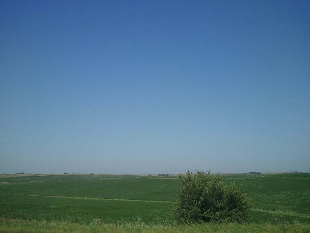
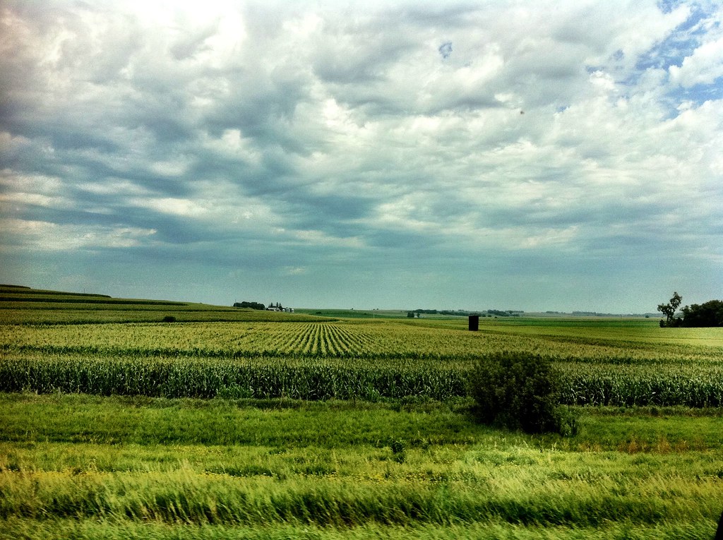
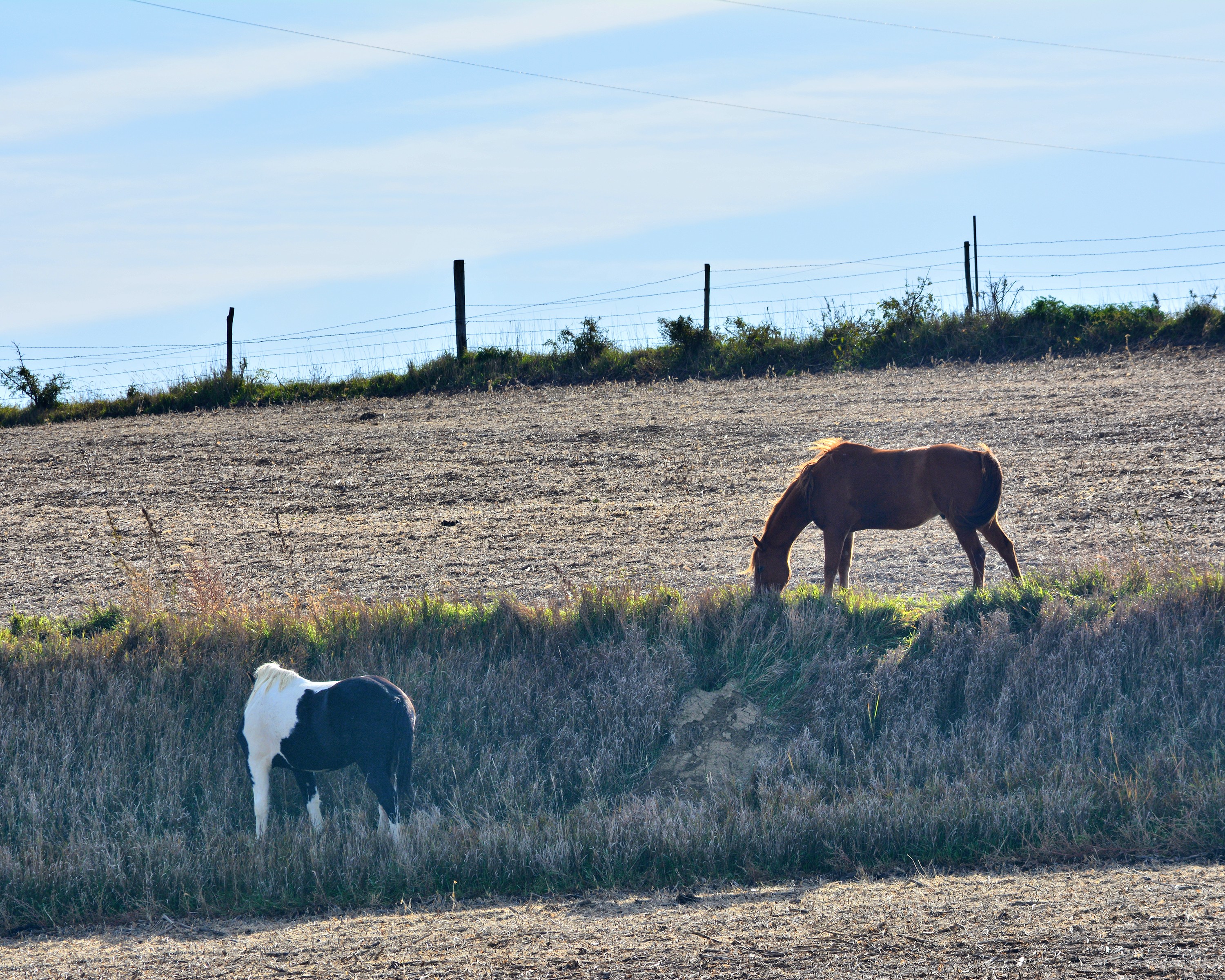
2011-09-01 13.24.50
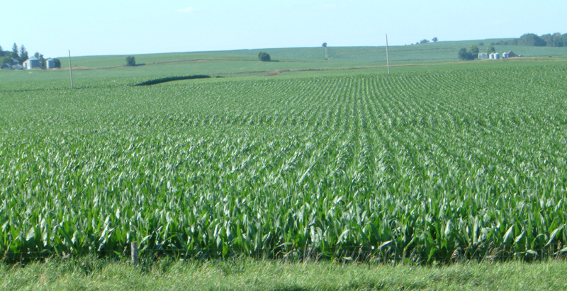
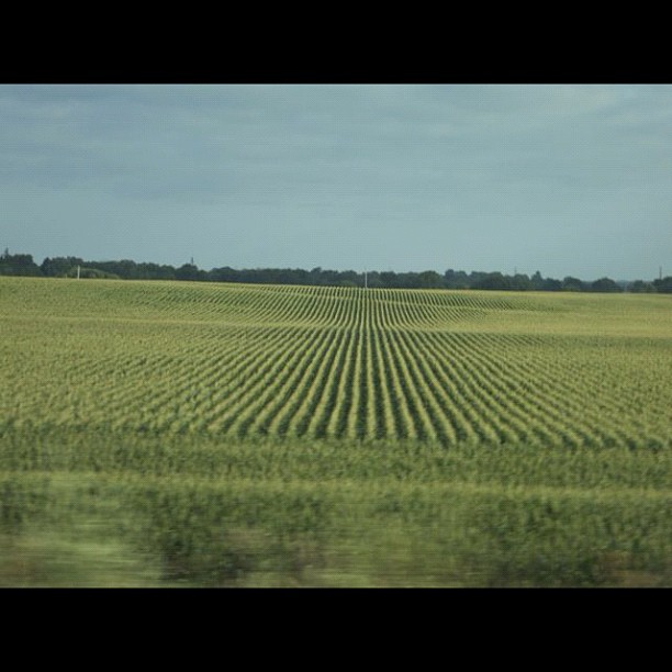
Corn on I-29

Hoar Frost
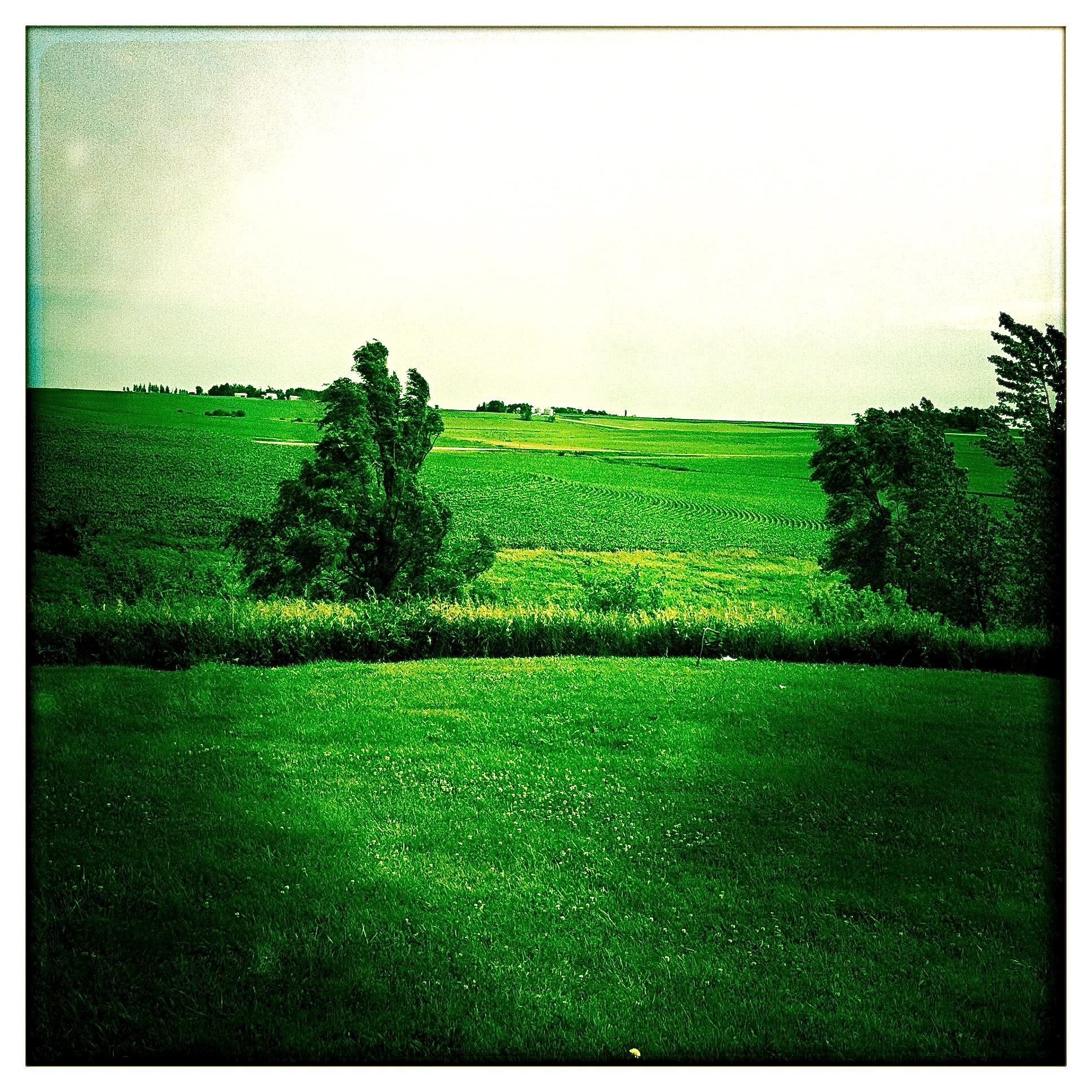
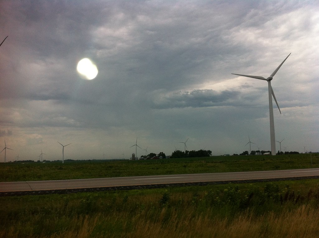
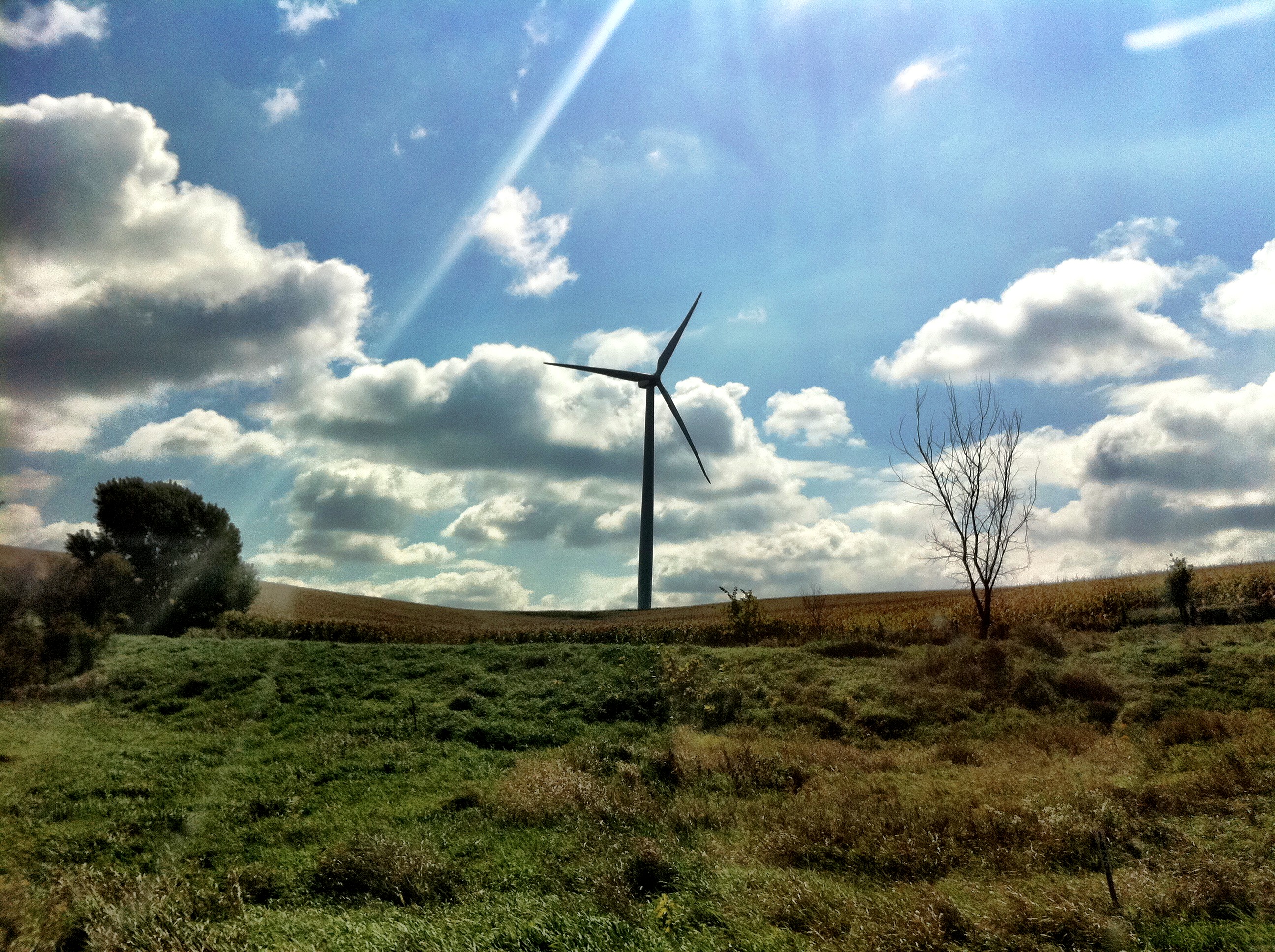
Iowa I

Iowa II
101914-329F
Camera Roll-20
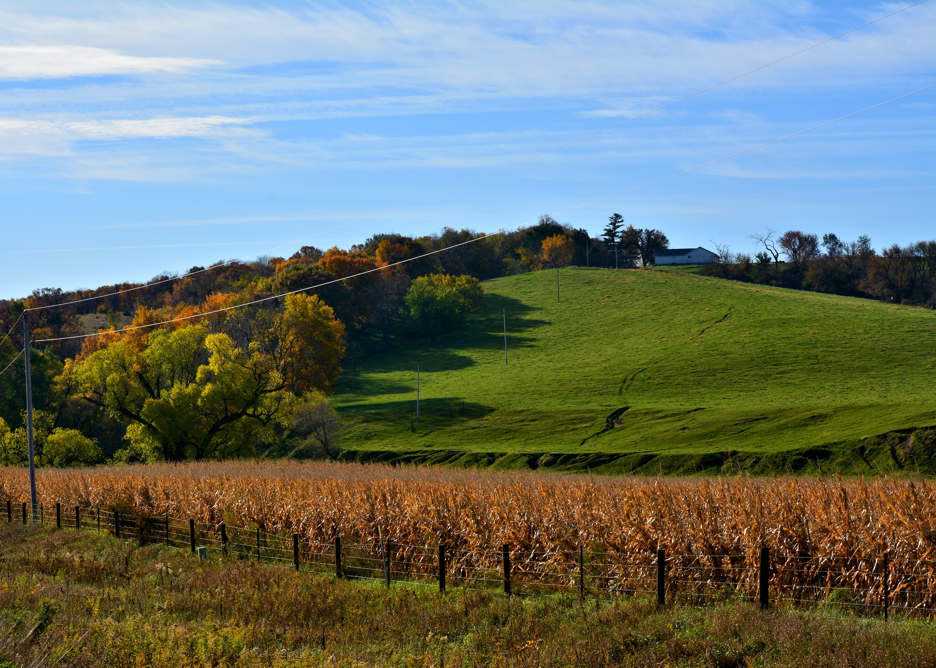
Ladies and Gentlemen, welcome to the Main Stage... Miss Amber Waves. Avoca, IA
Camera Roll-14
IMG_03932.JPG

101914-332F
101914-334F
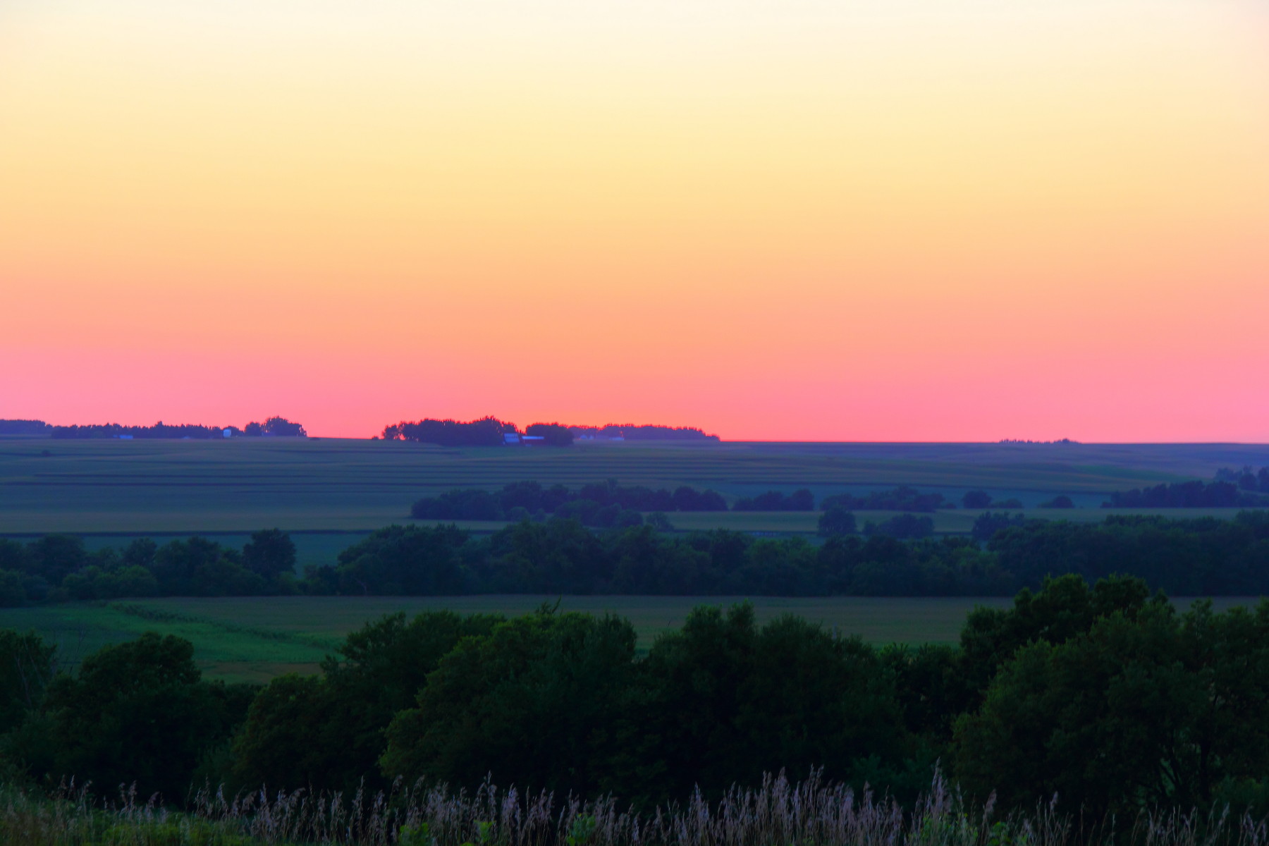
In Iowa
Avoca Iowa
IMG_03931.JPG
IMG_03923.JPG

Landscape_080114_LR-6.jpg
IMG_03948.JPG
IMG_03937.JPG
IMG_03936.JPG
IMG_03939.JPG
IMG_03938.JPG
IMG_03935.JPG
Topographic Map of Walnut, IA, USA
Find elevation by address:

Places in Walnut, IA, USA:
Places near Walnut, IA, USA:
Antique City Dr, Walnut, IA, USA
Layton
510th Street
31225 460th St
47053 Pinoak Rd
Knox
Marne
4242 Marne Rd
1141 S Walnut St
451 S Walnut St
Avoca
N Walnut St, Avoca, IA, USA
452 S Walnut St
Fairview
Fairview
Fairview
Fairview
Fairview
Fairview
Brighton
Recent Searches:
- Elevation map of Greenland, Greenland
- Elevation of Sullivan Hill, New York, New York, 10002, USA
- Elevation of Morehead Road, Withrow Downs, Charlotte, Mecklenburg County, North Carolina, 28262, USA
- Elevation of 2800, Morehead Road, Withrow Downs, Charlotte, Mecklenburg County, North Carolina, 28262, USA
- Elevation of Yangbi Yi Autonomous County, Yunnan, China
- Elevation of Pingpo, Yangbi Yi Autonomous County, Yunnan, China
- Elevation of Mount Malong, Pingpo, Yangbi Yi Autonomous County, Yunnan, China
- Elevation map of Yongping County, Yunnan, China
- Elevation of North 8th Street, Palatka, Putnam County, Florida, 32177, USA
- Elevation of 107, Big Apple Road, East Palatka, Putnam County, Florida, 32131, USA
- Elevation of Jiezi, Chongzhou City, Sichuan, China
- Elevation of Chongzhou City, Sichuan, China
- Elevation of Huaiyuan, Chongzhou City, Sichuan, China
- Elevation of Qingxia, Chengdu, Sichuan, China
- Elevation of Corso Fratelli Cairoli, 35, Macerata MC, Italy
- Elevation of Tallevast Rd, Sarasota, FL, USA
- Elevation of 4th St E, Sonoma, CA, USA
- Elevation of Black Hollow Rd, Pennsdale, PA, USA
- Elevation of Oakland Ave, Williamsport, PA, USA
- Elevation of Pedrógão Grande, Portugal