Elevation of Pottawattamie County, IA, USA
Location: United States > Iowa >
Longitude: -95.477781
Latitude: 41.3911501
Elevation: 372m / 1220feet
Barometric Pressure: 97KPa
Elevation Map:
Satellite Map:
Related Photos:

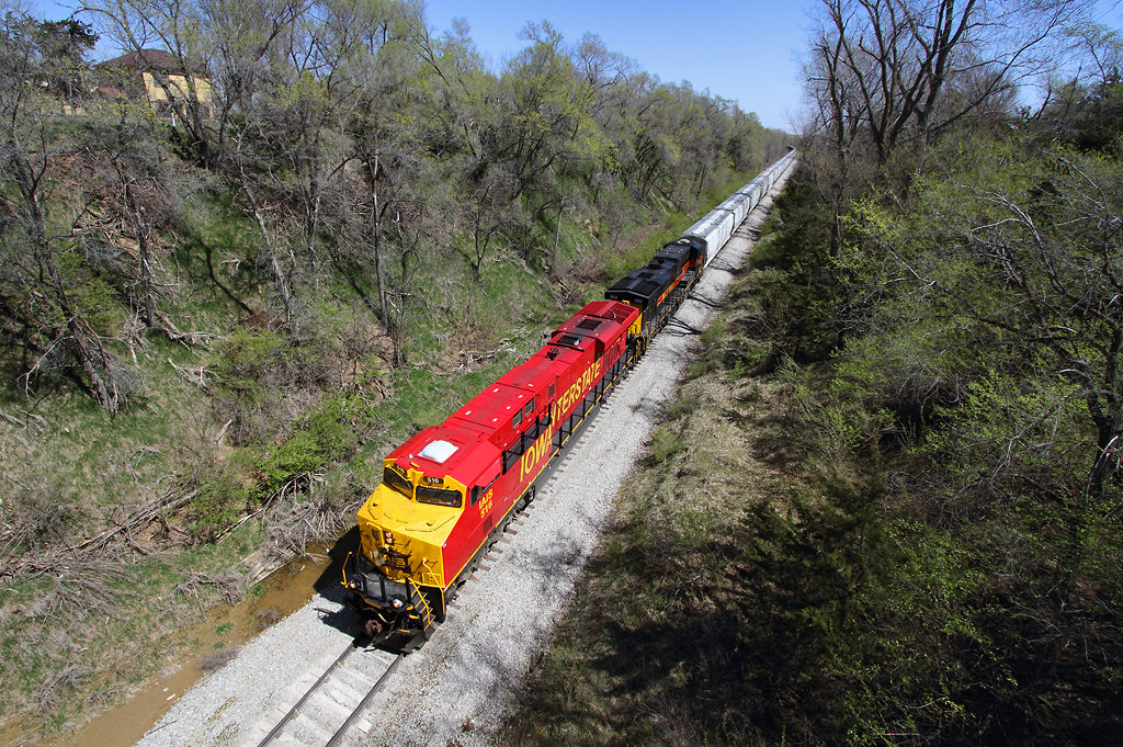
IAIS 702 with Sunday Special - MP 471
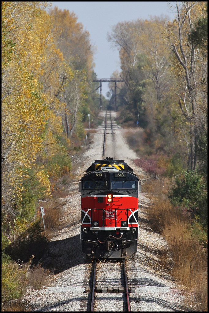
IAIS 513 with Sunday Special - MP 470.5

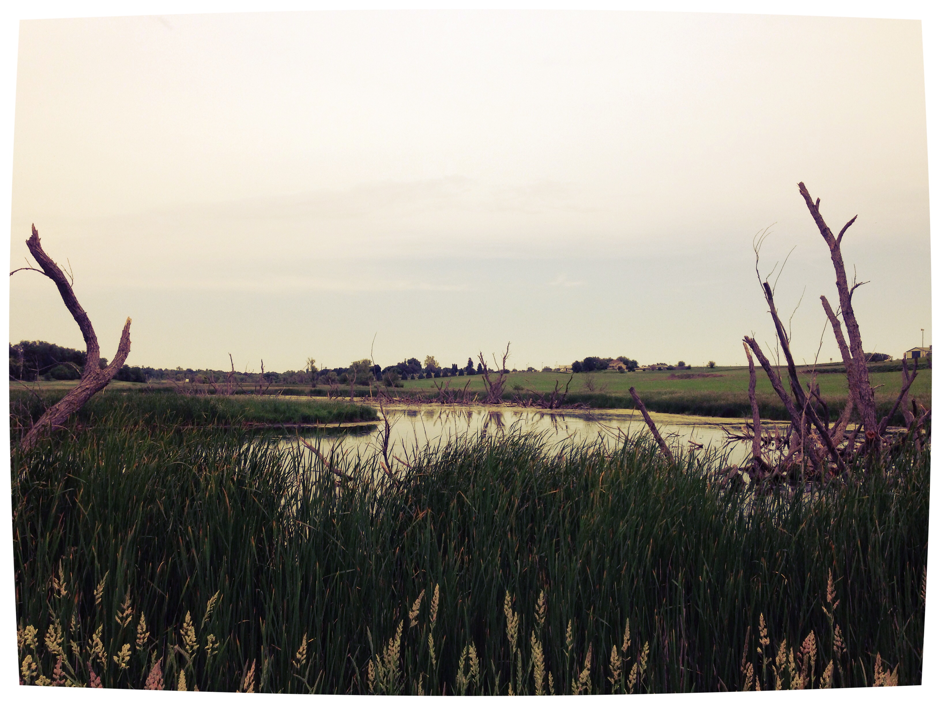
In the Rear View - Elmtree Road
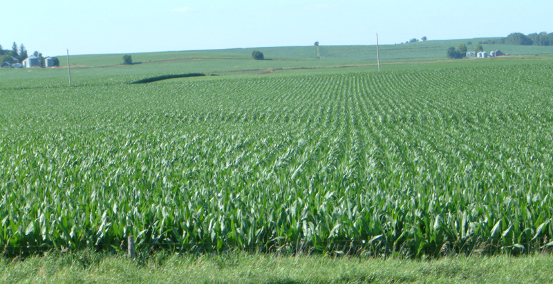
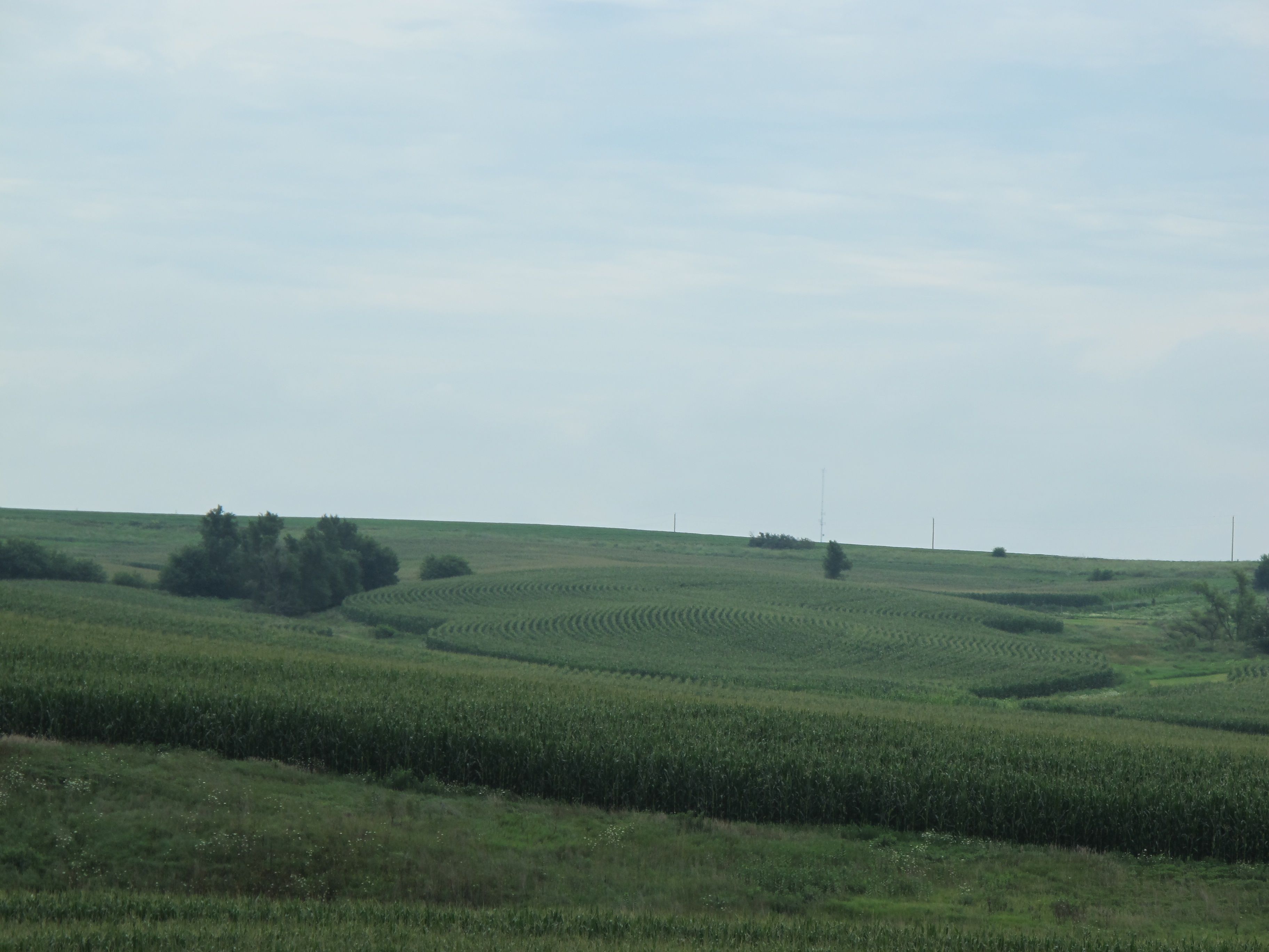
Corn on I-29
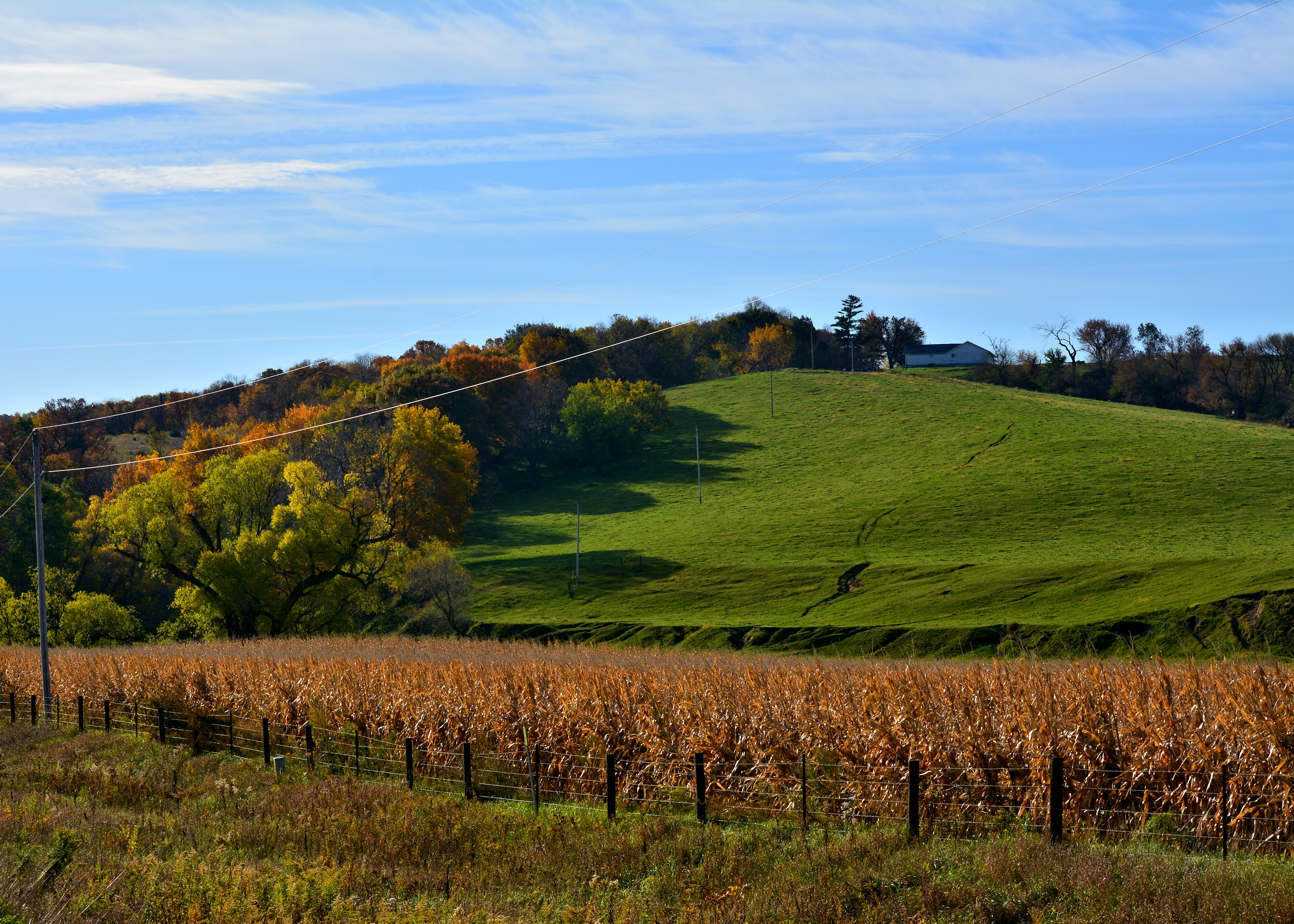
Cruising through western Iowa
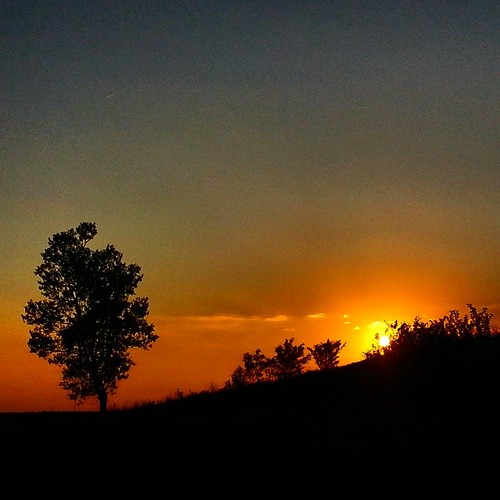
#sunset over #Iowa . #LostAmericana
Bike Trail
Same old, same old....
101914-329F
101914-334F

101914-332F

big grove village church
Topographic Map of Pottawattamie County, IA, USA
Find elevation by address:

Places in Pottawattamie County, IA, USA:
Knox
Kane
Garner
Neola
Lake
Carson
Crescent
Rockford
Hardin
Washington
Silver Creek
Norwalk
Layton
James
2nd St, Minden, IA, USA
Oakland Ave, Oakland, IA, USA
Lewis
Oakland
Valley
Hazel Dell
Boomer
Places near Pottawattamie County, IA, USA:
James
27476 390th St
2nd St, Minden, IA, USA
Hancock
Oakland Ave, Oakland, IA, USA
Oakland
Washington
Elmtree Rd, Carson, IA, USA
Carson
Valley
Neola
Front St, Neola, IA, USA
Knox
452 S Walnut St
1141 S Walnut St
451 S Walnut St
N Walnut St, Avoca, IA, USA
Avoca
Broadway St, Carson, IA, USA
Carson
Recent Searches:
- Elevation of Corso Fratelli Cairoli, 35, Macerata MC, Italy
- Elevation of Tallevast Rd, Sarasota, FL, USA
- Elevation of 4th St E, Sonoma, CA, USA
- Elevation of Black Hollow Rd, Pennsdale, PA, USA
- Elevation of Oakland Ave, Williamsport, PA, USA
- Elevation of Pedrógão Grande, Portugal
- Elevation of Klee Dr, Martinsburg, WV, USA
- Elevation of Via Roma, Pieranica CR, Italy
- Elevation of Tavkvetili Mountain, Georgia
- Elevation of Hartfords Bluff Cir, Mt Pleasant, SC, USA