Elevation of Boomer, IA, USA

Location: United States > Iowa > Pottawattamie County >

Longitude: -95.793200

Latitude: 41.4755152

Elevation: 389m / 1276feet

Barometric Pressure: 97KPa

Elevation Map:

elevation map of Boomer, IA, USA

Satellite Map:

Satellite map of Boomer, IA, USA

Related Photos:

iphoneography iphoneology iphoneographer iphonology white snowcovered snowy snowing snow winter cold view loesshills pinetree pine tree midwest crescent mtcrescent iowa
Loess Hills - Iowa
minnesota 2019 july july2019 vacation roadtrip 2019vacation 2019roadtrip minnesota2019roadtrip minnesota2019vacation iowa harrisoncounty westerniowa missourivalley lincolnhighway lincolnhwy marker l lincolnhighwaymarker harrisoncountyhistoricalvillage iowawelcomecenter afternoon usa
Lincoln Hwy Marker in Iowa, 12 July 2019
minnesota 2019 july july2019 vacation roadtrip 2019vacation 2019roadtrip minnesota2019roadtrip minnesota2019vacation drive driving driver driverpic ontheroad road highway iowa harrisoncounty missourivalley interstate freeway interstate29 i29 northbound northboundi29 lewisandclarktrail sign shieldsigns exit75 usa
Northbound I-35 in Iowa, 12 July 2019
interchange clearview i680 bgs i29 pottawattamiecounty countyroadg12
I-29 southbound approaching I-680
UP 8007 - Crescent, IA
nature rebel xt aperture forrest hiking iowa hike hills trail hawkeye local hitchcock bluffs appleaperture loesshills lowiso wetknees
Hitchcock Dead end
Scenic view
i680
"scenic view" north of omaha
iowasouthdakota1013
Iowa-South Dakota 10-13 016
iowasouthdakota1013
Iowa-South Dakota 10-13 019
iowa neolaia
Union Hotel - Neola, IA
iowa neolaia
Union Hotel - Neola, IA
nebraska unitedstates omaha hdr hollow darkpath nealewoods
The Dark Path_B&W
nebraska unitedstates omaha hollow nealewoods
#10B_E3
western iowa
Boyer Chute "Beach"
landscape scenery iowa loesshills
Terraced corn fields in the Loess Hills of western Iowa
autumn barn corn country countryside fall field harvest iowa laughlinc lightroom lightroom5 nikon1755mm24 nikond80 redbarn rural nikon
ready for harvest
nebraska unitedstates omaha hollow nealewoods {vision}:{outdoor}=0888 {vision}:{plant}=0932
Hollow #2
flooding may iowa 2007 missourivalley
Flooded hotel at Missouri Valley
landscape iowa
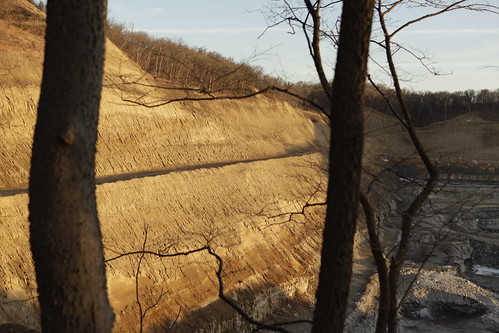
Crescent quarry strip mine
unitedstates sunny iowa iphone weatherbug 77f ragbrai2008 airme beebeetown
Beebeetown, Jul 20, 2008
Peoria Loess/Sangamon Paleosol/Loveland Loess
scenicnotjustlandscapes
How We Respect Those That Paved Our Way
luvisol
Cutanic Luvisol
winter snow apple rural canon corn raw dusk farming iowa hills hawkeye local bluffs hdr councilbluffs loesshills 40d aperture2 scenicnotjustlandscapes hdroutput
Setting Winter Sun
river flooding nebraska flood missouri omaha 2011
missouri flood 6-8-11-0029
luvisol
Cutanic Luvisol
road trip flickrandroidapp:filter=none
Cross-Country Road Trip
hike
2015-01-17 10.03.41
square squareformat iphoneography instagramapp uploaded:by=instagram
#sunset over #Iowa . #LostAmericana
Sangamon Palesol in Loveland Loess