Elevation of Honey Creek, IA, USA
Location: United States > Iowa > Pottawattamie County > Rockford >
Longitude: -95.866399
Latitude: 41.4305503
Elevation: 309m / 1014feet
Barometric Pressure: 98KPa
Elevation Map:
Satellite Map:
Related Photos:

Wind Blown

the view from iowa
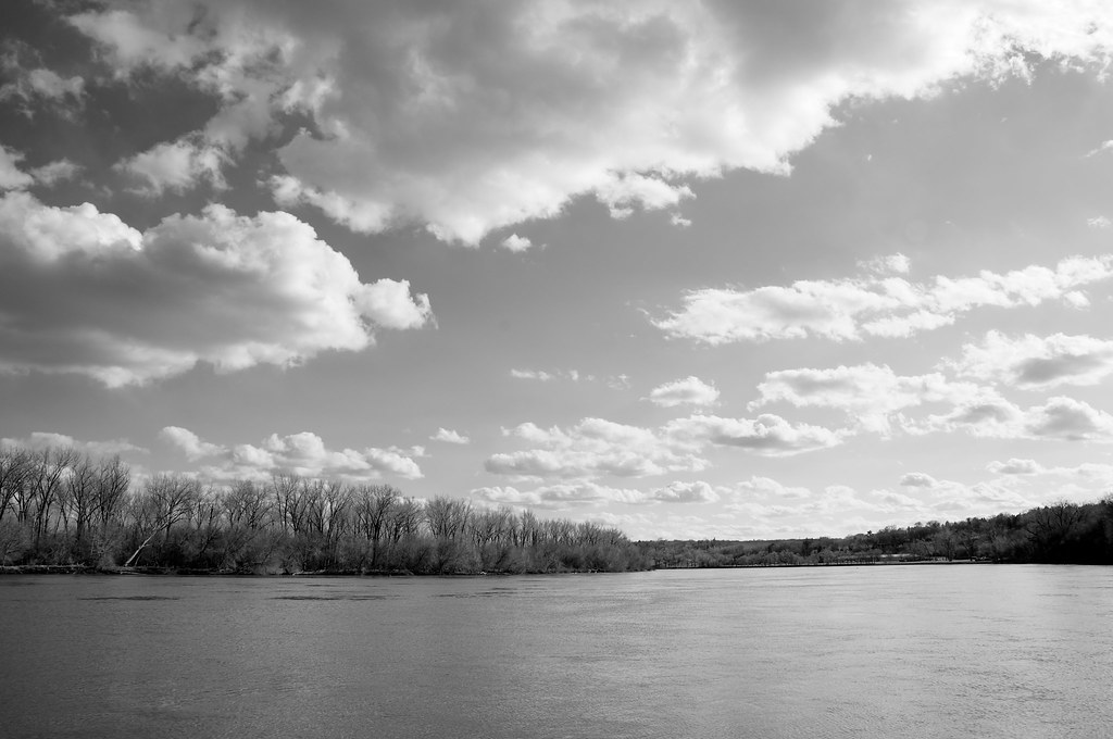
Missouri River
geocaches 1047
geocaches 1046

Good Morning!

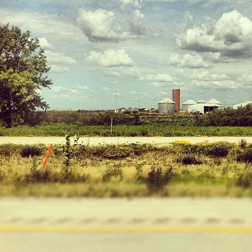
distant view of downtown omaha
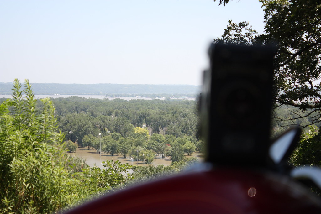
the view from the cache
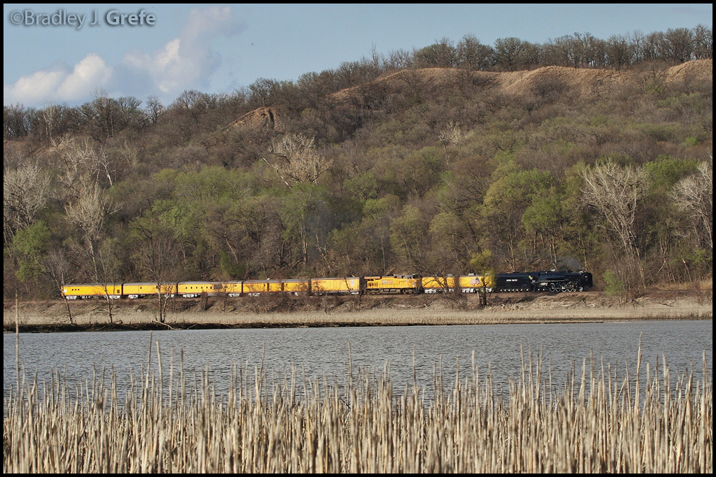
UP 844 - UP 2010 - Big Lake Park - CB IA
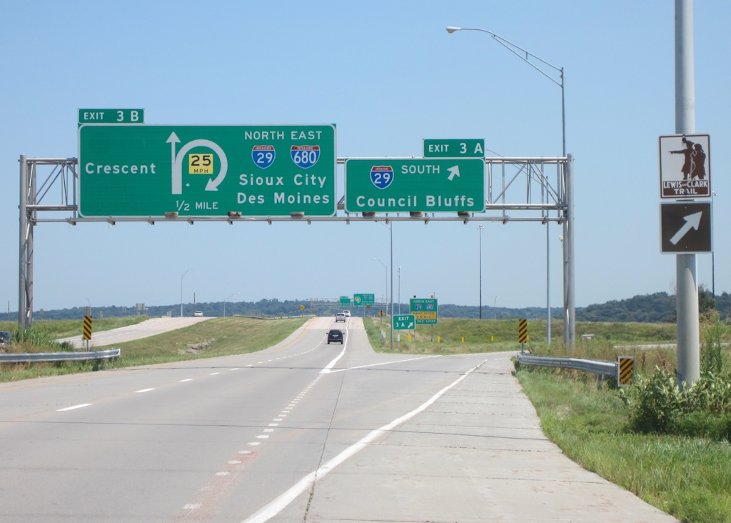
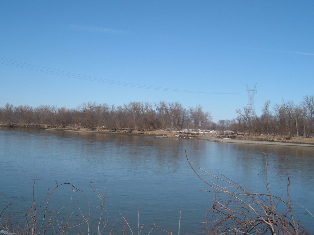
I-680 east at I-29

Mini Lighthouse (Original)
Iowa-South Dakota 10-13 019
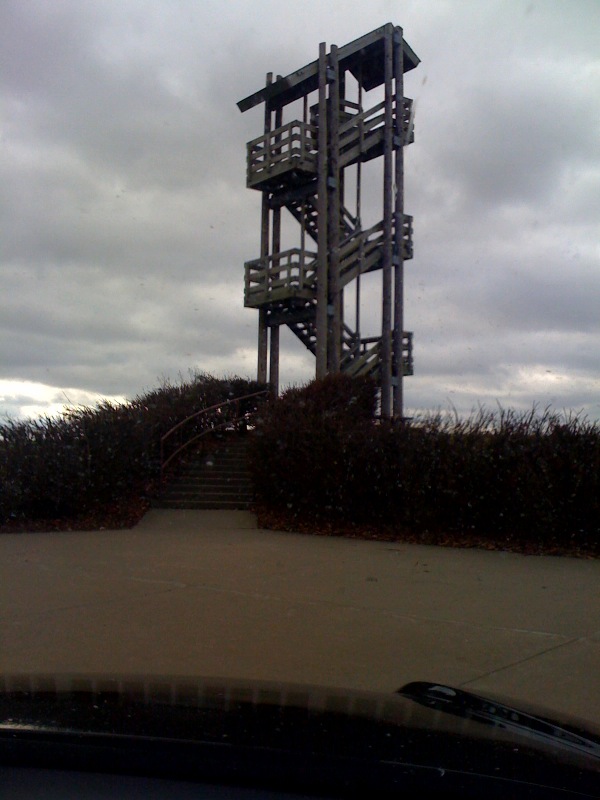
Scenic view
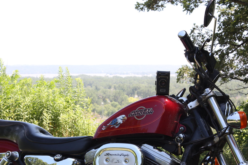
Kodak, Sporty and the view
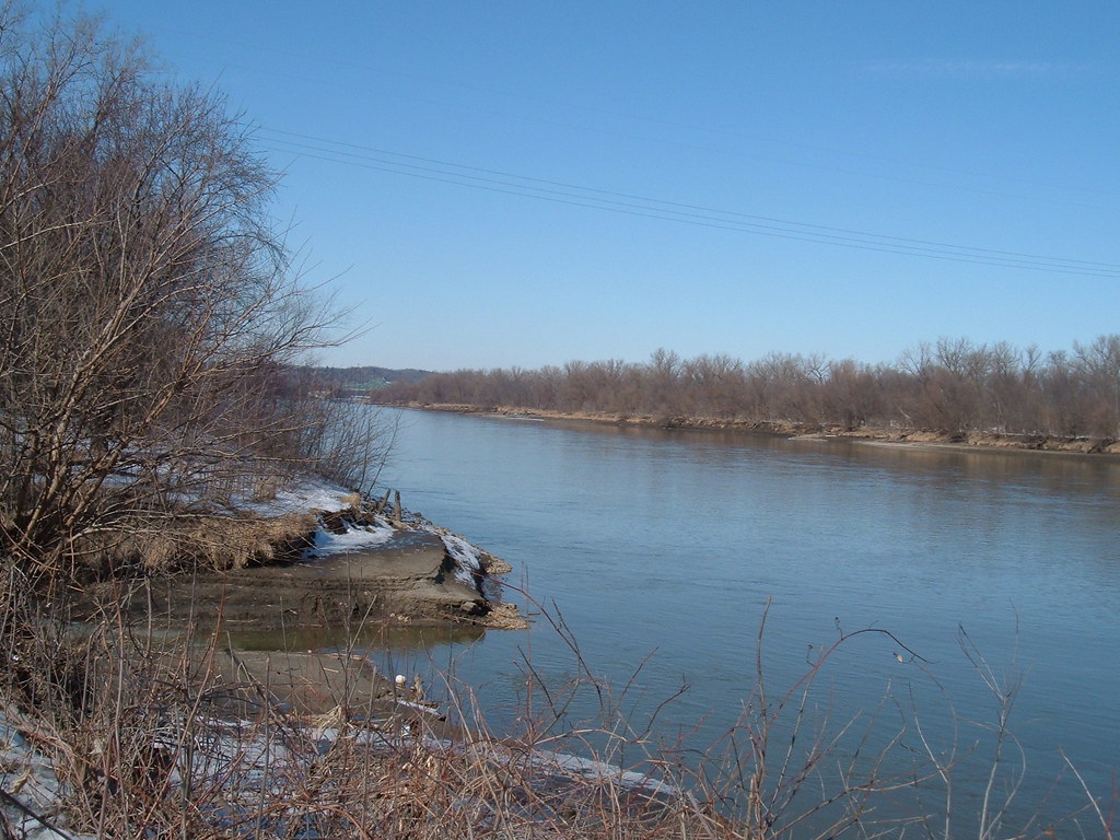
Viewing the Floodwaters

Wind Blown Grass
Ok. So I conquered the parts where going downhill was the focus. View from the start/end.

Big Jake

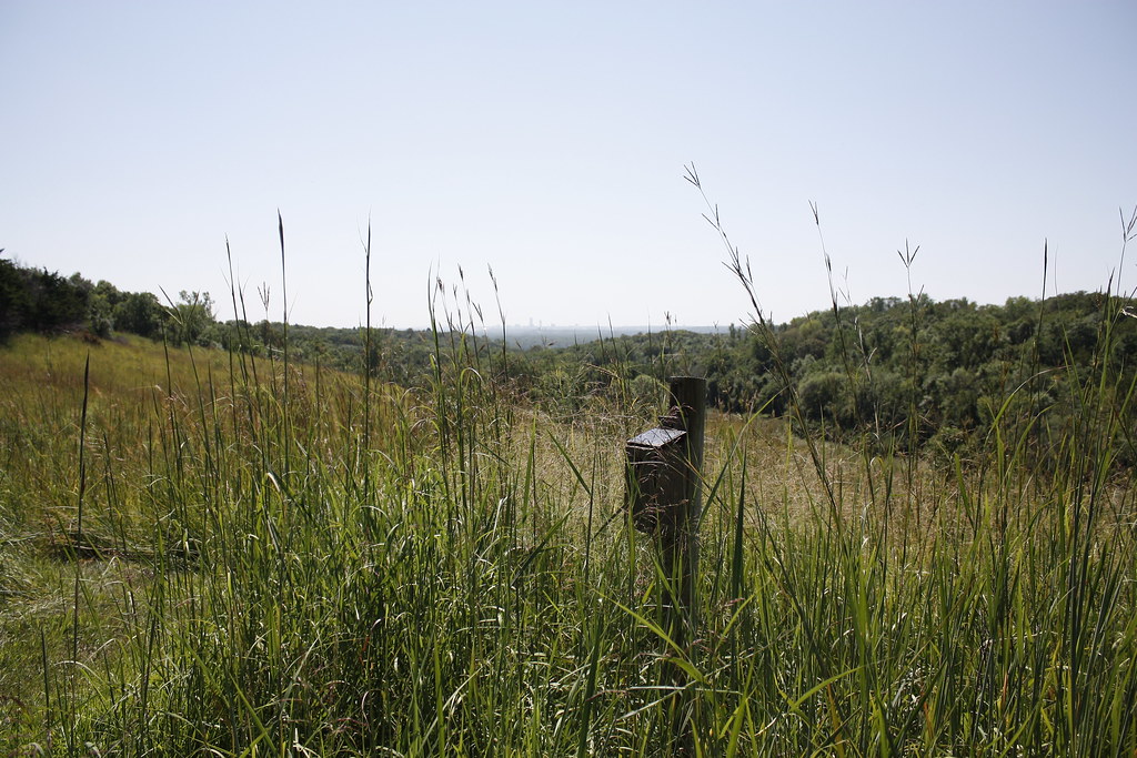
Fence Post Saturated

Detailed Pine Cone
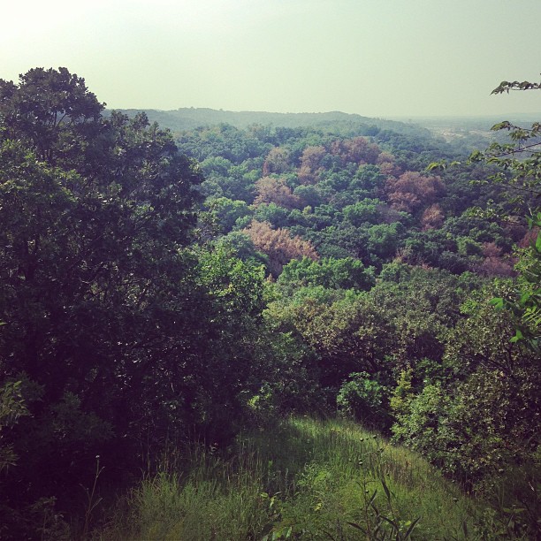
Quite a view
#10B_E3
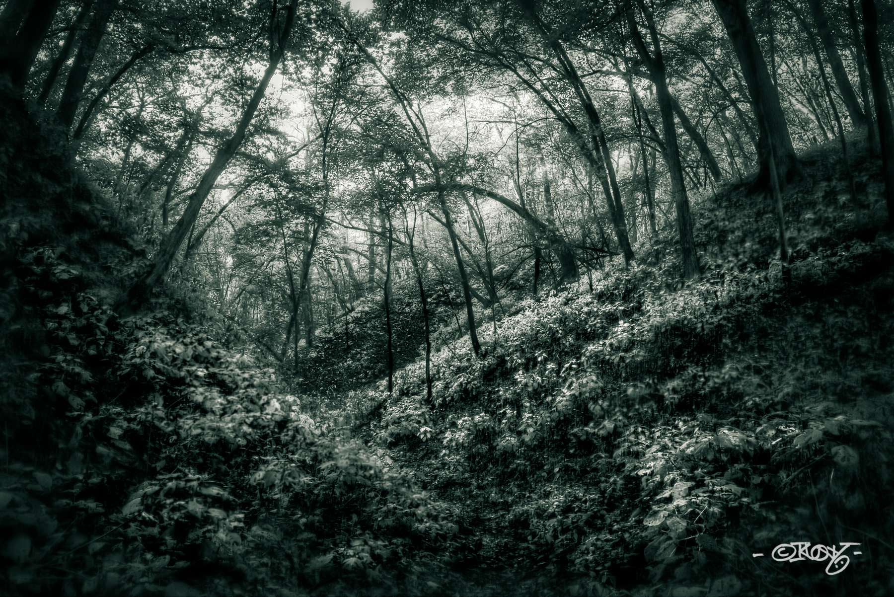
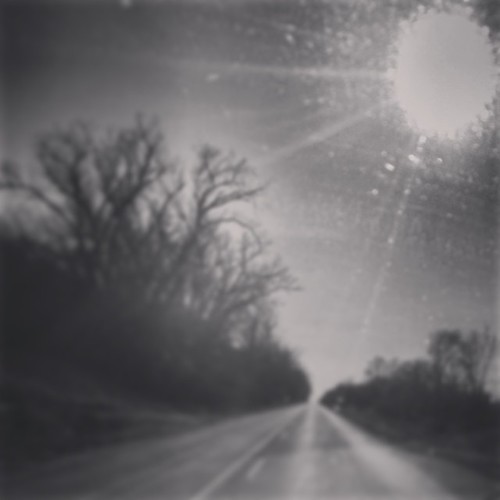
The Dark Path_B&W
Wide Open

Mrs Leavenworth's Locust Grove
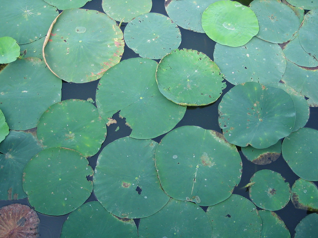
lily pads
Driving to Omaha
Hollow #2
Landscape study
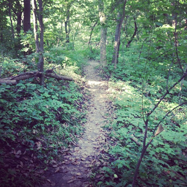
Another trail found and, perhaps, conquered.
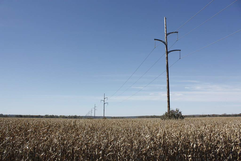
Overhead wire
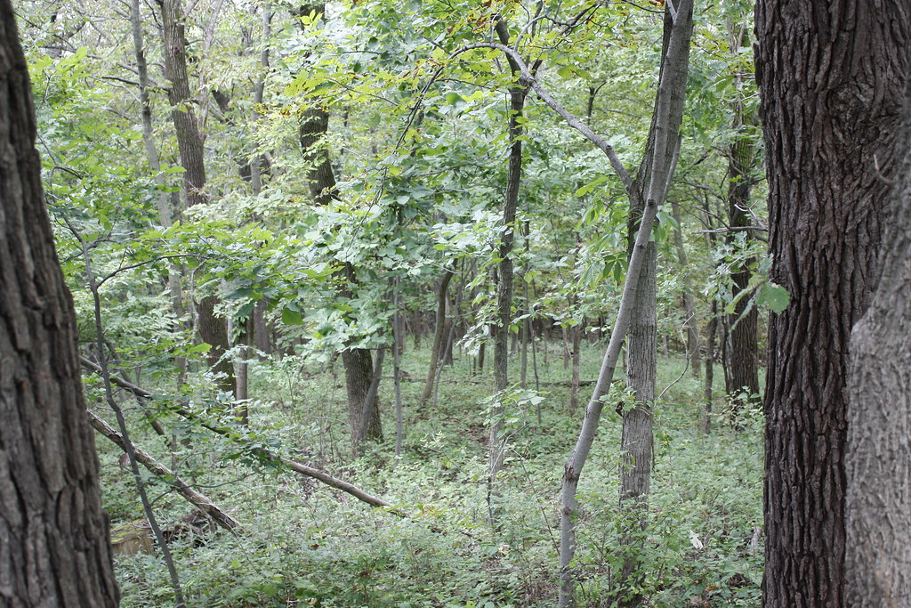
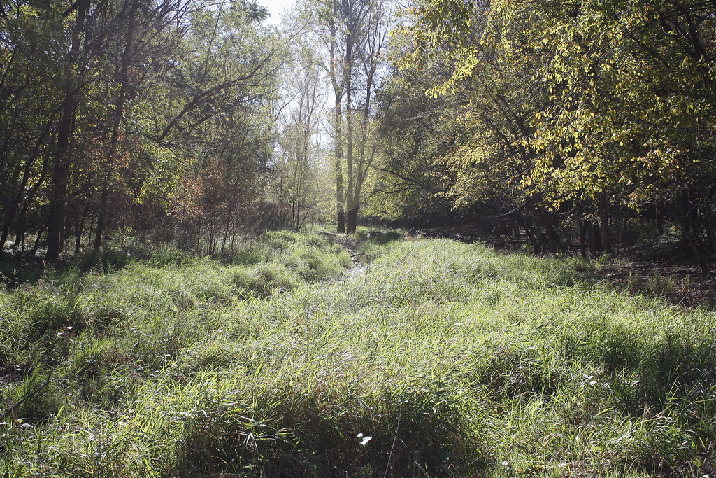
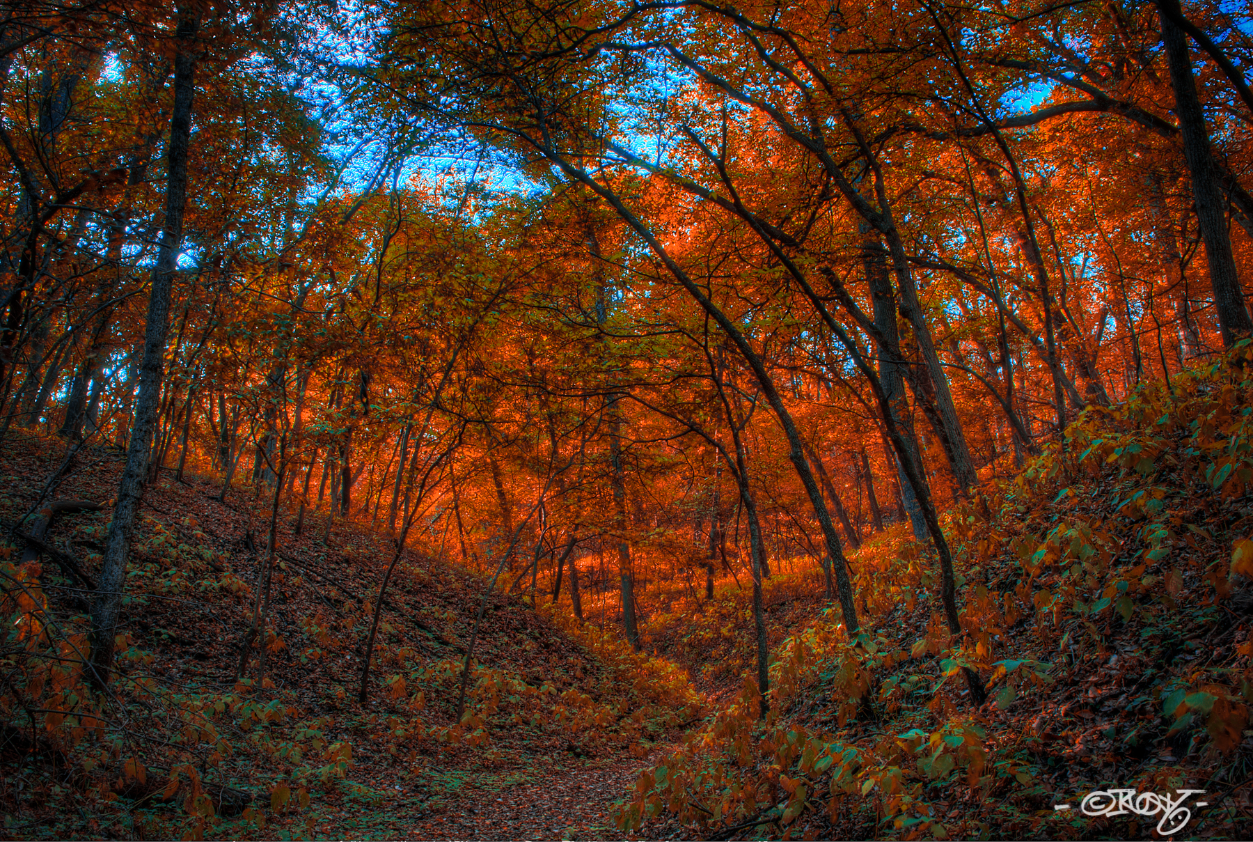
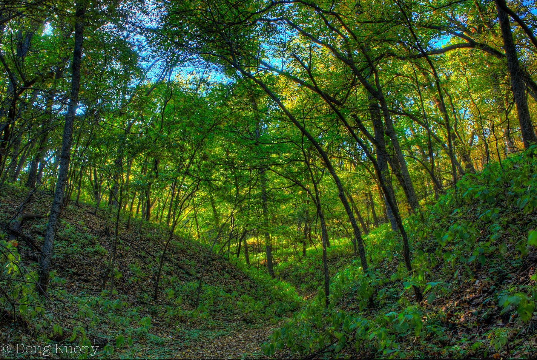
Into the Woods

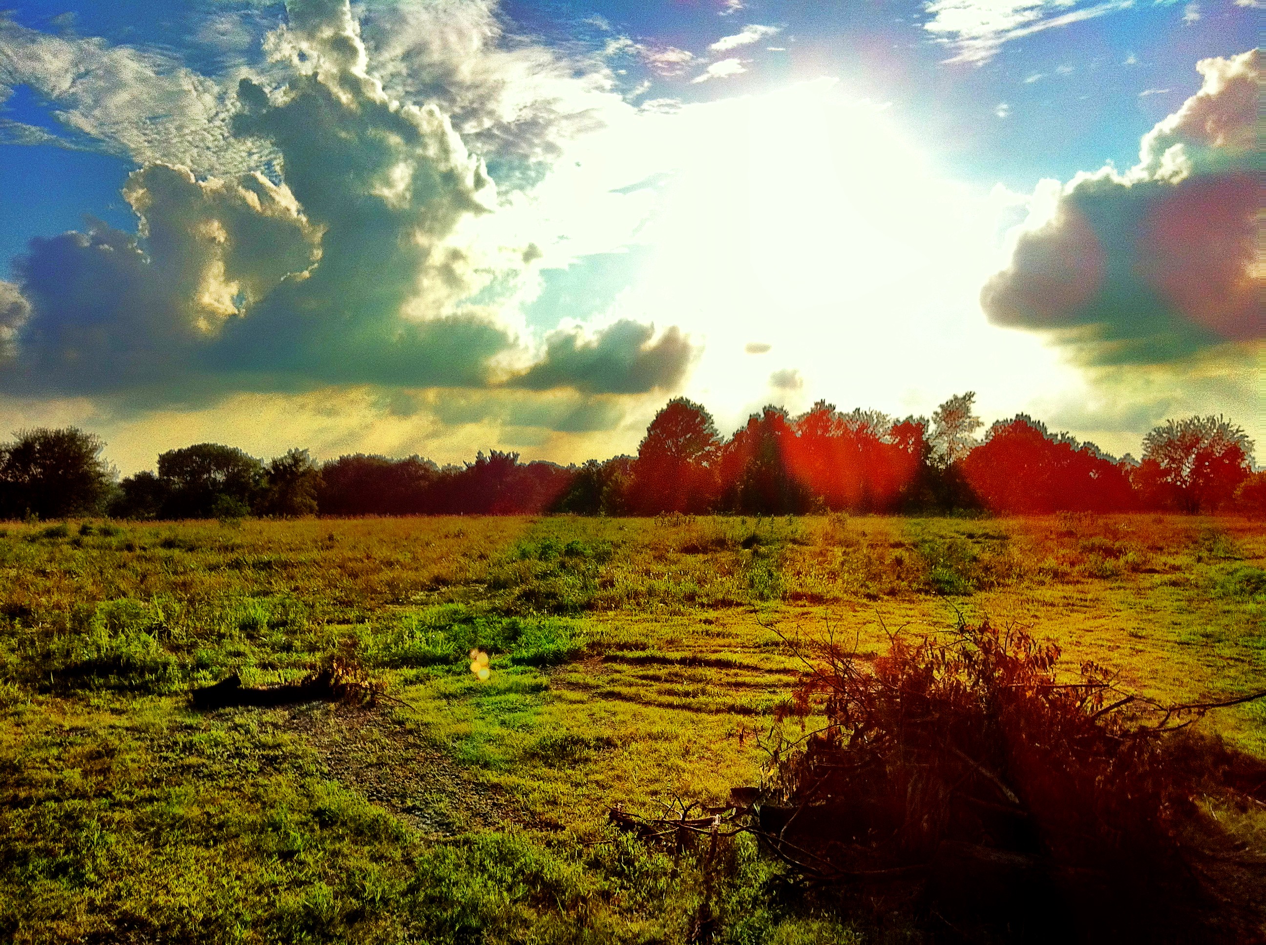
Missouri River Sunrise

We went hiking yesterday, spend all morning in the forest and I have seen a few new birds to add to my bird-watch-list! ???????????????? #hiking #forrest
102_0335.JPG
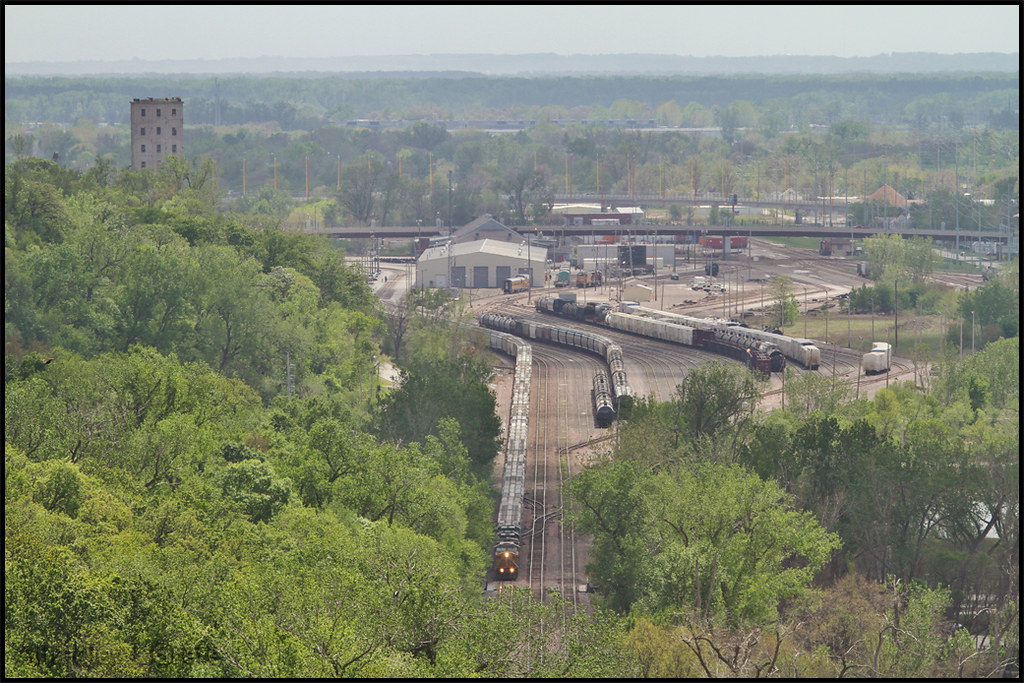
UP 7134 - GSKNHD14 - CB IA
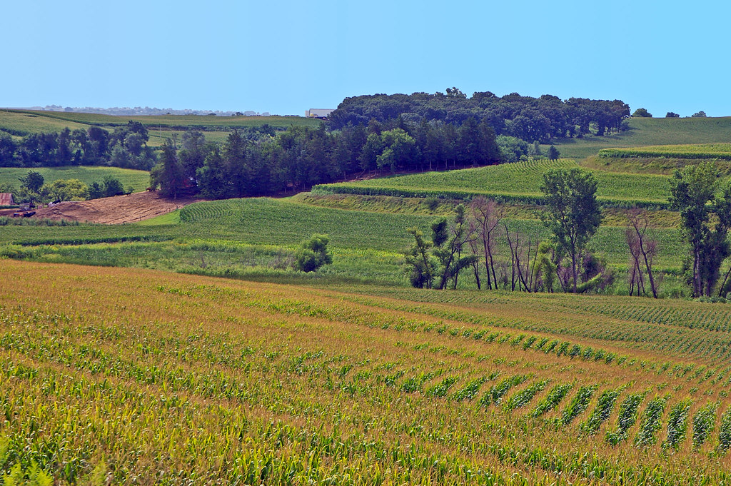
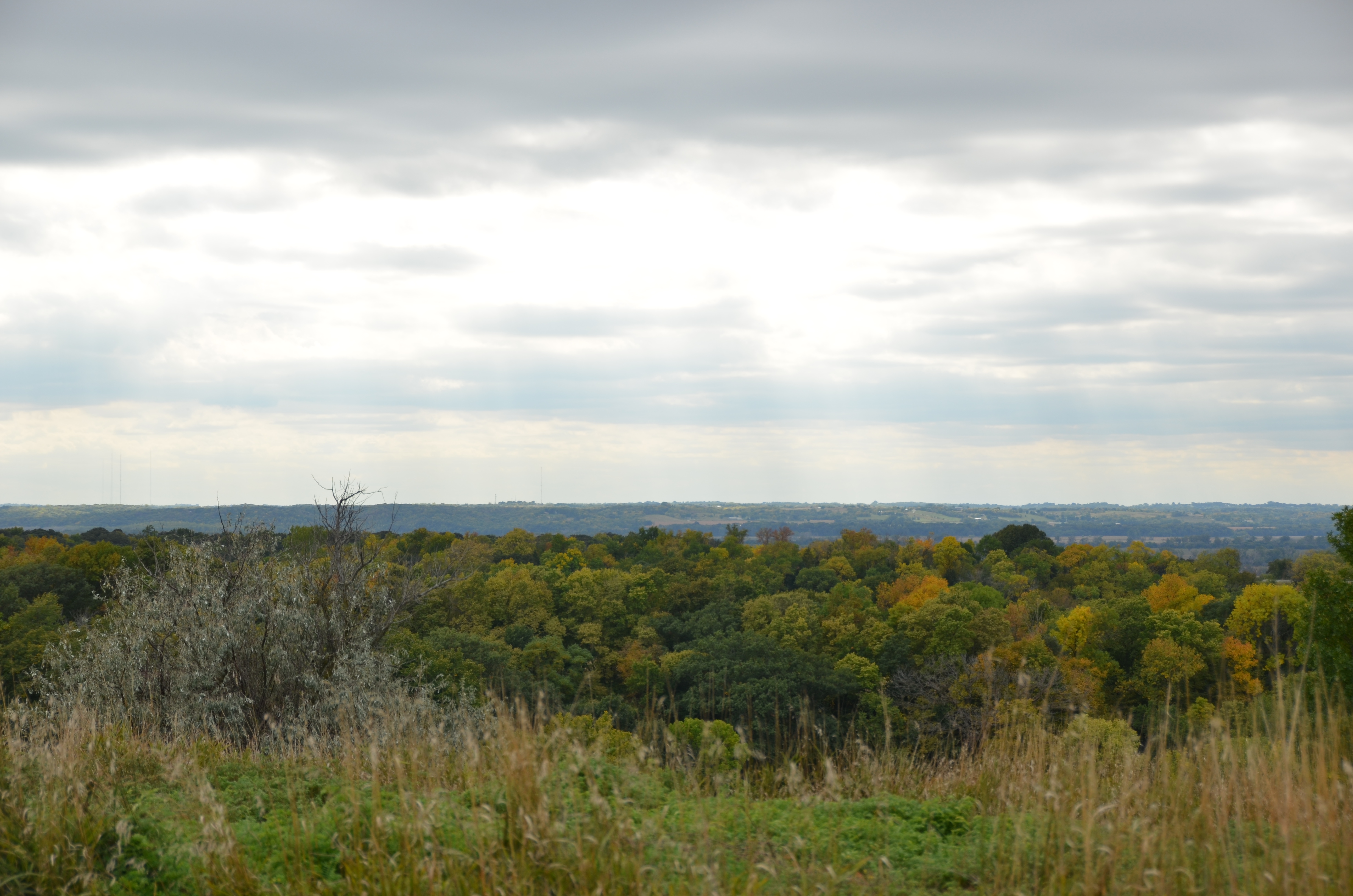
Terraced corn fields in the Loess Hills of western Iowa
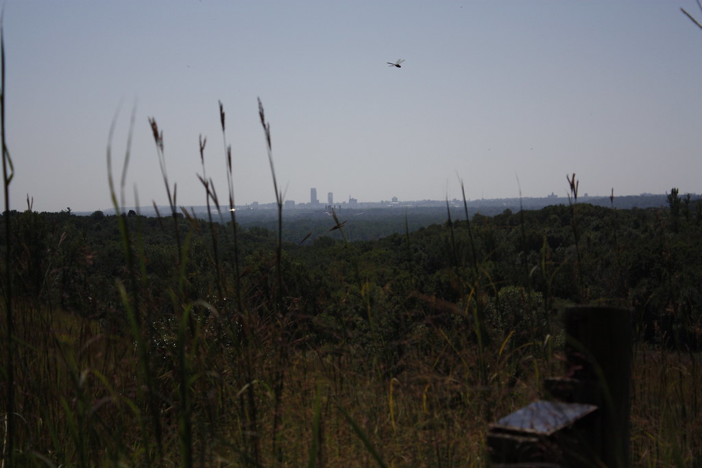
Omaha in the distance
Topographic Map of Honey Creek, IA, USA
Find elevation by address:

Places in Honey Creek, IA, USA:
Places near Honey Creek, IA, USA:
Honey Creek Ln, Honey Creek, IA, USA
Mt. Crescent Ski Area
31422 170th St
Crescent
Rockford
29661 Coldwater Ave
Badger Ave, Crescent, IA, USA
Crescent
Hazel Dell
th St, Honey Creek, IA, USA
Boomer
3033 Hummel Rd
12216 N 36th St
3822 N Post Rd
1101 John J Pershing Dr
Newstreet Properties
22796 Co Rd L34
6218 Florence Blvd
Belvedere Point
North 36th Street
Recent Searches:
- Elevation of Corso Fratelli Cairoli, 35, Macerata MC, Italy
- Elevation of Tallevast Rd, Sarasota, FL, USA
- Elevation of 4th St E, Sonoma, CA, USA
- Elevation of Black Hollow Rd, Pennsdale, PA, USA
- Elevation of Oakland Ave, Williamsport, PA, USA
- Elevation of Pedrógão Grande, Portugal
- Elevation of Klee Dr, Martinsburg, WV, USA
- Elevation of Via Roma, Pieranica CR, Italy
- Elevation of Tavkvetili Mountain, Georgia
- Elevation of Hartfords Bluff Cir, Mt Pleasant, SC, USA