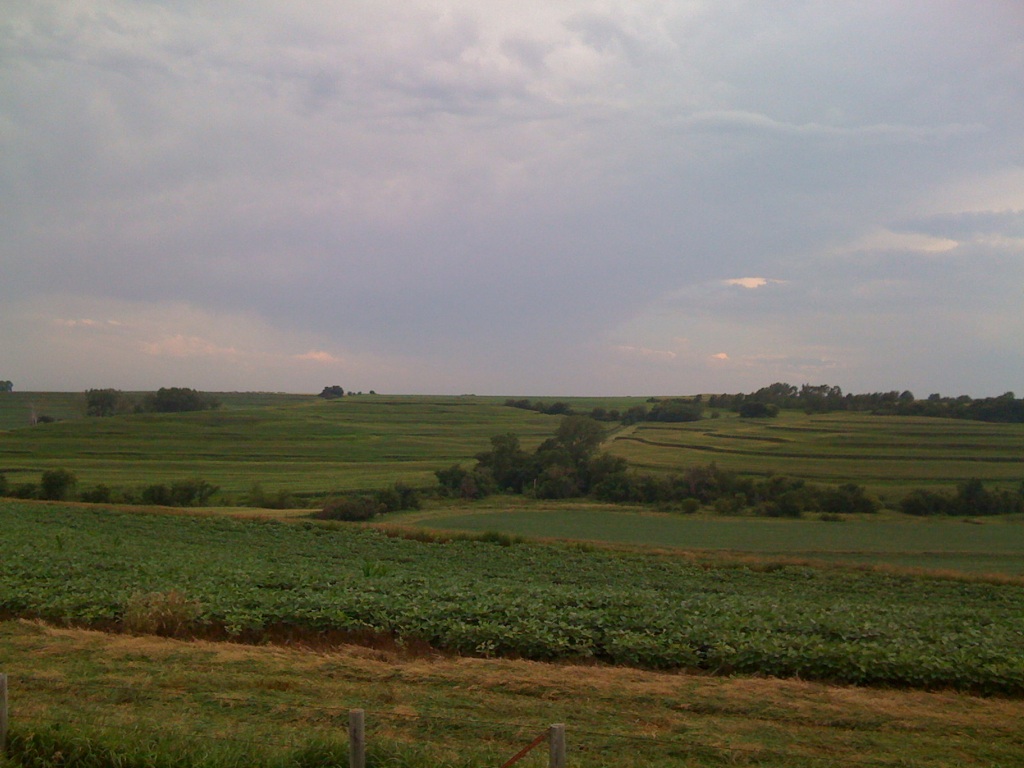
Elevation of Coldwater Ave, Honey Creek, IA, USA
Location: United States > Iowa > Pottawattamie County > Boomer >
Longitude: -95.811569
Latitude: 41.442285
Elevation: 372m / 1220feet
Barometric Pressure: 97KPa
Elevation Map:
Satellite Map:
Related Photos:

Loess Hills - Iowa

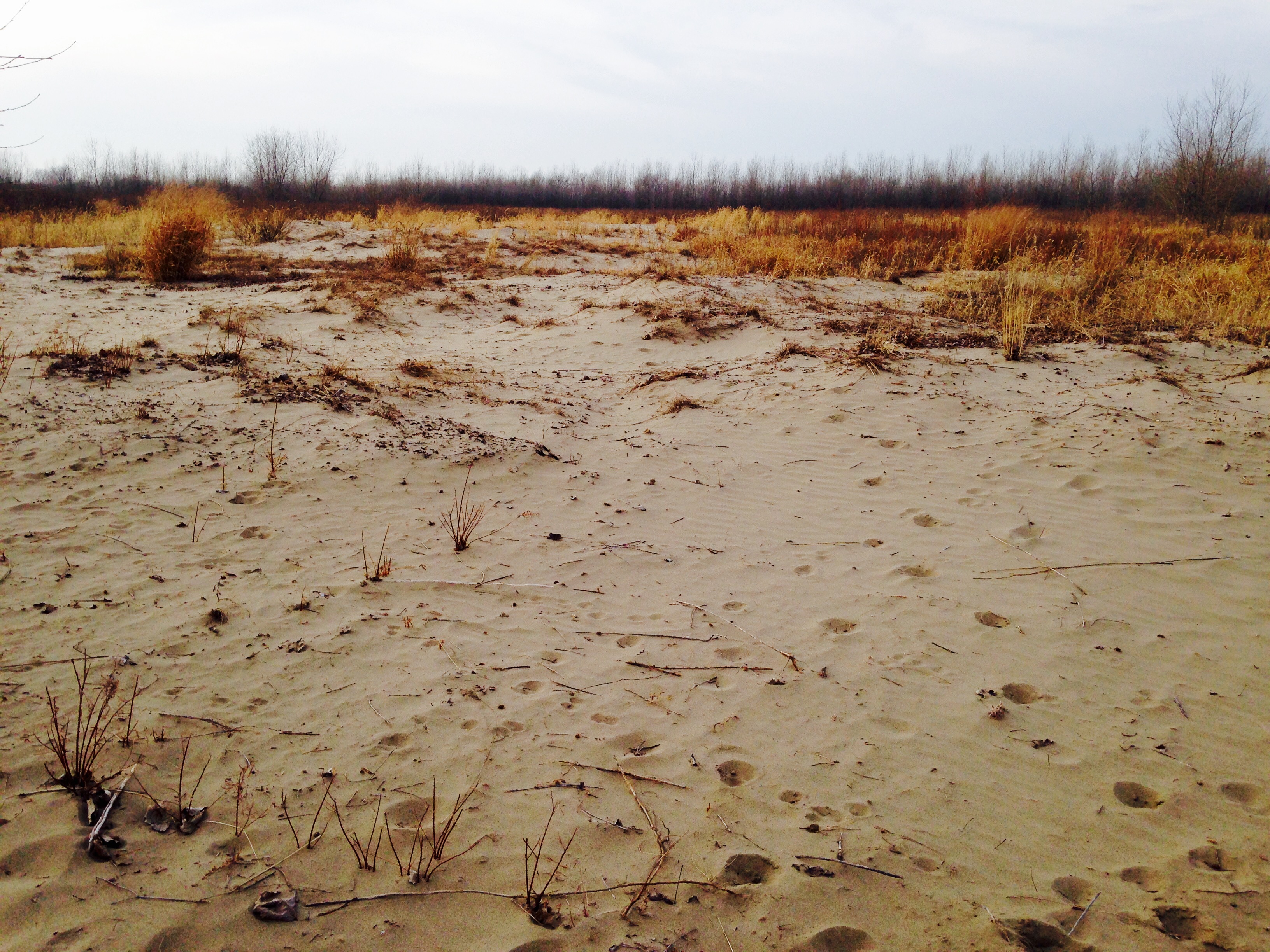
Wind Blown

Lincoln Hwy Marker in Iowa, 12 July 2019

Northbound I-35 in Iowa, 12 July 2019

I-29 southbound approaching I-680

I-680 east at I-29 (2015)

Mini Lighthouse (Original)

UP 8007 - Crescent, IA

Wind Blown Grass

Hitchcock Dead end

Detailed Pine Cone

Scenic view

"scenic view" north of omaha

Missouri River

Kodak, Sporty and the view

Ok. So I conquered the parts where going downhill was the focus. View from the start/end.
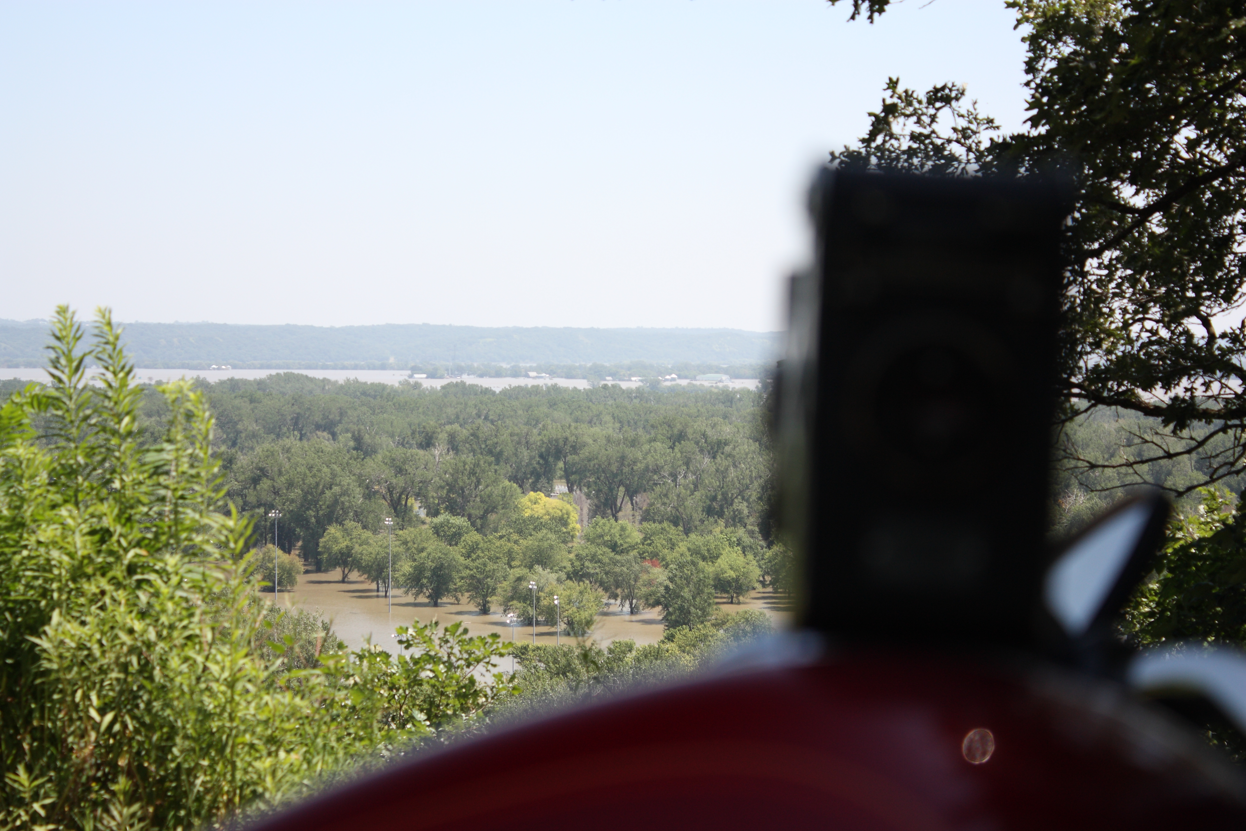
Viewing the Floodwaters

Quite a view

another view

Iowa-South Dakota 10-13 016

the view from the cache

Summer Heat

The Dark Path_B&W

#10B_E3

western iowa
Boyer Chute "Beach"

Terraced corn fields in the Loess Hills of western Iowa

Morphing Stairs Top

UP 7134 - GSKNHD14 - CB IA

Weight of the Dead

ready for harvest

Drive By Photography 2
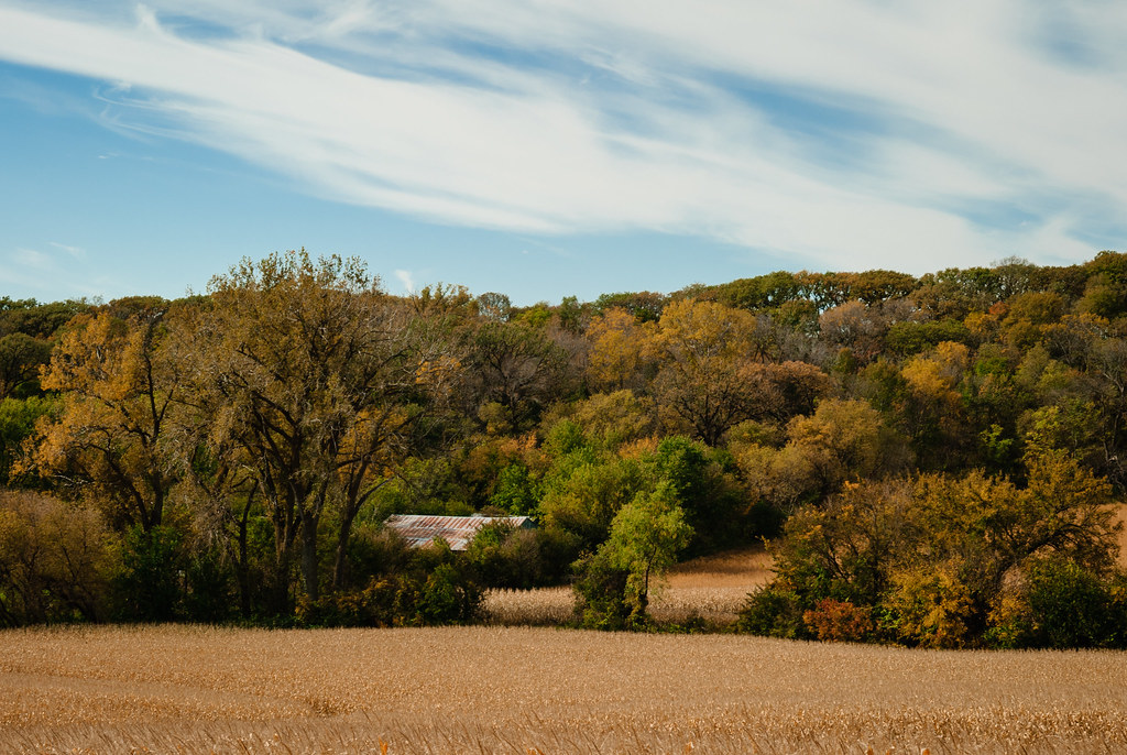
fall field
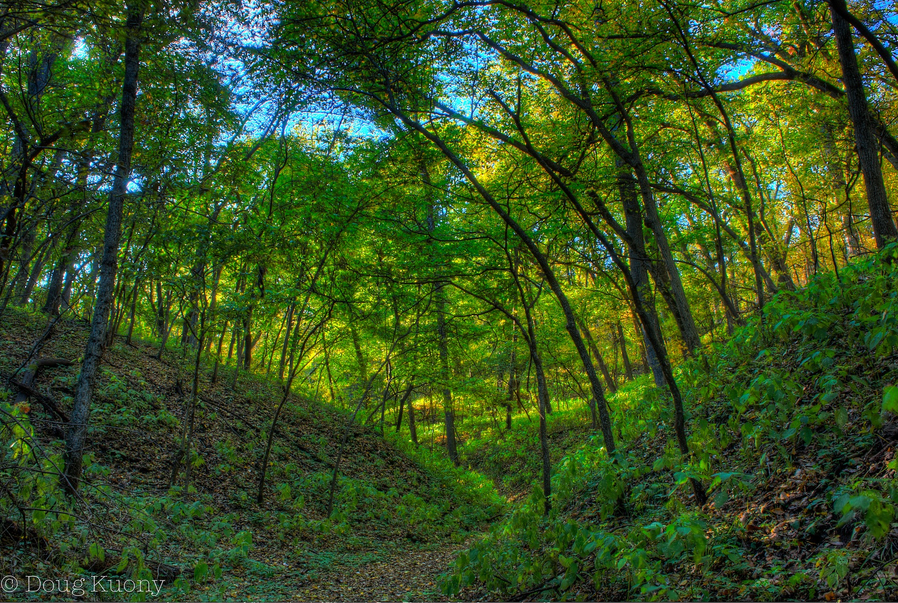
Hollow #2

Flooded hotel at Missouri Valley

Crescent quarry strip mine

Edge of the Missouri Floodplain
Beebeetown, Jul 20, 2008

Peoria Loess/Sangamon Paleosol/Loveland Loess

How We Respect Those That Paved Our Way
Topographic Map of Coldwater Ave, Honey Creek, IA, USA
Find elevation by address:

Places near Coldwater Ave, Honey Creek, IA, USA:
th St, Honey Creek, IA, USA
Boomer
Hazel Dell
Honey Creek Ln, Honey Creek, IA, USA
31422 170th St
Honey Creek
Mt. Crescent Ski Area
Rockford
Crescent
Badger Ave, Crescent, IA, USA
Crescent
22796 Co Rd L34
Weston Ave, Underwood, IA, USA
Underwood
3rd St, Underwood, IA, USA
Neola
3033 Hummel Rd
Norwalk
Mcclelland
1101 John J Pershing Dr
Recent Searches:
- Elevation of Corso Fratelli Cairoli, 35, Macerata MC, Italy
- Elevation of Tallevast Rd, Sarasota, FL, USA
- Elevation of 4th St E, Sonoma, CA, USA
- Elevation of Black Hollow Rd, Pennsdale, PA, USA
- Elevation of Oakland Ave, Williamsport, PA, USA
- Elevation of Pedrógão Grande, Portugal
- Elevation of Klee Dr, Martinsburg, WV, USA
- Elevation of Via Roma, Pieranica CR, Italy
- Elevation of Tavkvetili Mountain, Georgia
- Elevation of Hartfords Bluff Cir, Mt Pleasant, SC, USA