Elevation of Neola, IA, USA
Location: United States > Iowa > Pottawattamie County >
Longitude: -95.666830
Latitude: 41.4818075
Elevation: 359m / 1178feet
Barometric Pressure: 97KPa
Elevation Map:
Satellite Map:
Related Photos:
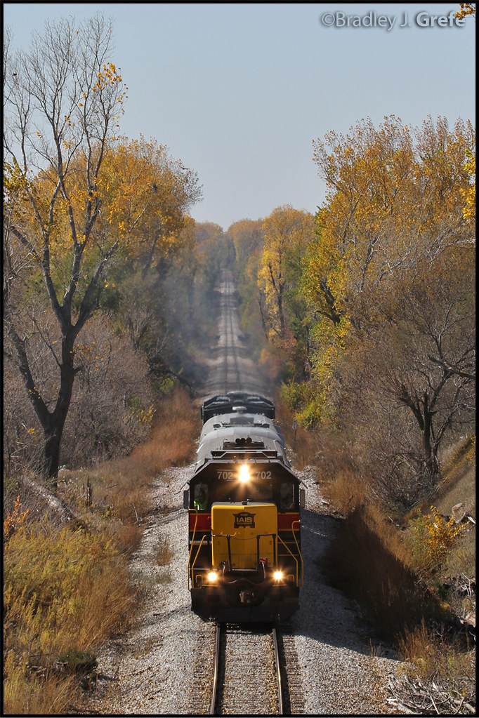
IAIS 702 with Sunday Special - MP 471
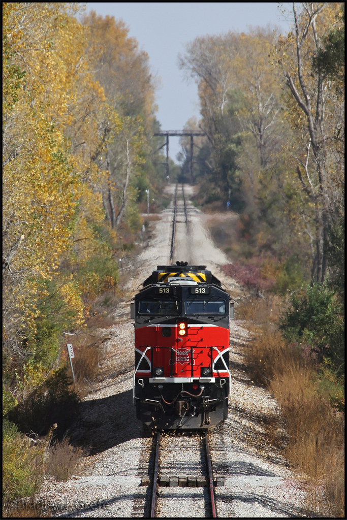
IAIS 513 with Sunday Special - MP 470.5
New York Road Trip Day Three
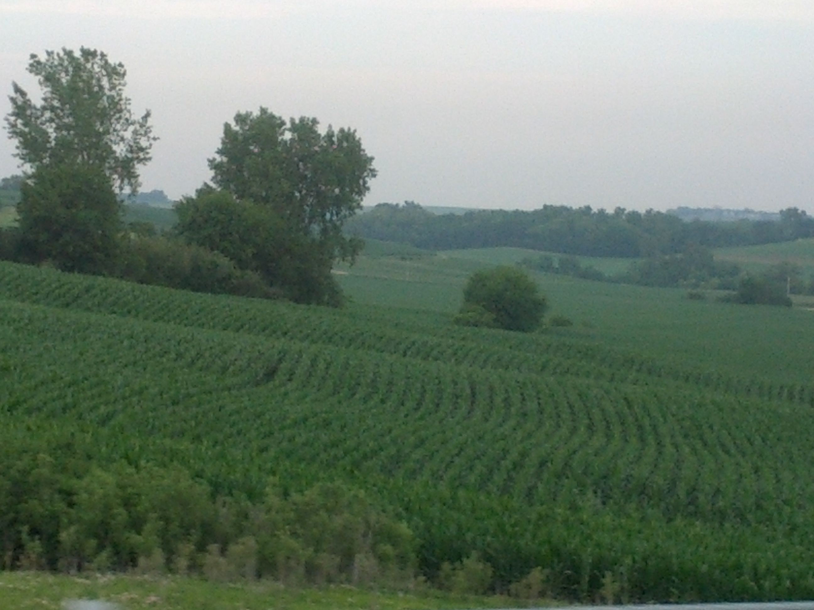
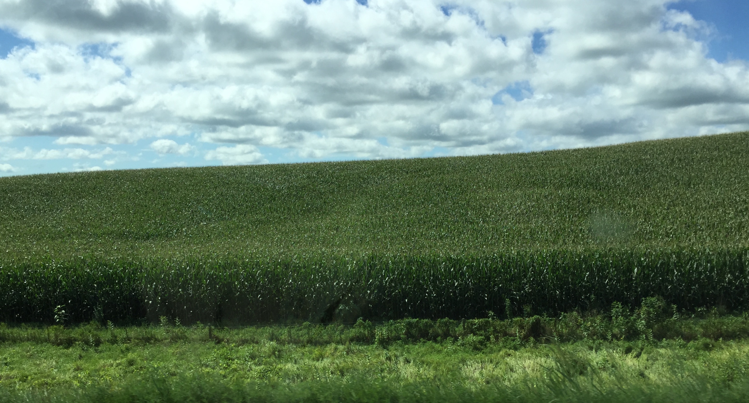
Cruising through western Iowa
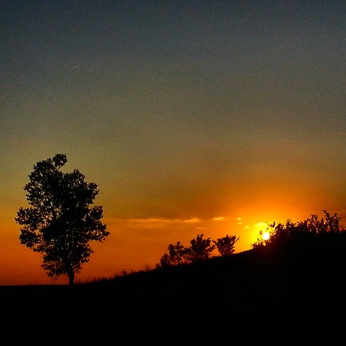
#sunset over #Iowa . #LostAmericana
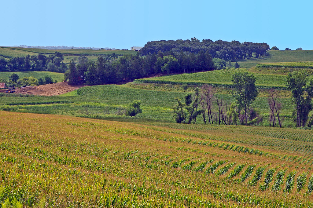
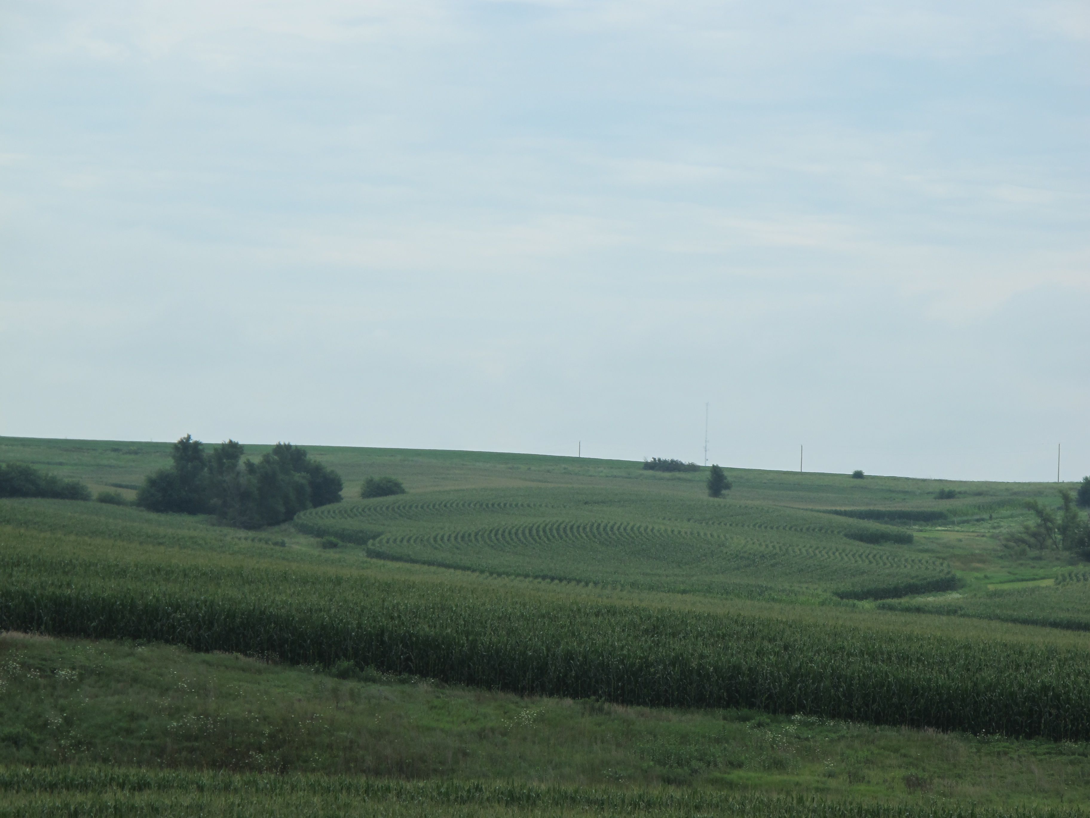
Terraced corn fields in the Loess Hills of western Iowa

Setting Winter Sun
Cross-Country Road Trip
Beebeetown, Jul 20, 2008
Same old, same old....
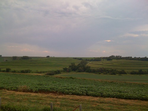
western iowa

20140629-IMG_6974
Topographic Map of Neola, IA, USA
Find elevation by address:

Places in Neola, IA, USA:
Places near Neola, IA, USA:
Underwood
3rd St, Underwood, IA, USA
Norwalk
th St, Honey Creek, IA, USA
Boomer
27919 Juniper Rd
29661 Coldwater Ave
Mcclelland
Hazel Dell
3rd St, McClelland, IA, USA
Weston Ave, Underwood, IA, USA
22796 Co Rd L34
31422 170th St
Honey Creek Ln, Honey Creek, IA, USA
Honey Creek
Rockford
Mt. Crescent Ski Area
Badger Ave, Crescent, IA, USA
Crescent
Crescent
Recent Searches:
- Elevation of Corso Fratelli Cairoli, 35, Macerata MC, Italy
- Elevation of Tallevast Rd, Sarasota, FL, USA
- Elevation of 4th St E, Sonoma, CA, USA
- Elevation of Black Hollow Rd, Pennsdale, PA, USA
- Elevation of Oakland Ave, Williamsport, PA, USA
- Elevation of Pedrógão Grande, Portugal
- Elevation of Klee Dr, Martinsburg, WV, USA
- Elevation of Via Roma, Pieranica CR, Italy
- Elevation of Tavkvetili Mountain, Georgia
- Elevation of Hartfords Bluff Cir, Mt Pleasant, SC, USA