Elevation of Front St, Neola, IA, USA
Location: United States > Iowa > Pottawattamie County > Neola > Neola >
Longitude: -95.615540
Latitude: 41.449185
Elevation: 337m / 1106feet
Barometric Pressure: 97KPa
Elevation Map:
Satellite Map:
Related Photos:
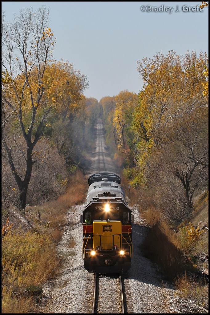
IAIS 702 with Sunday Special - MP 471
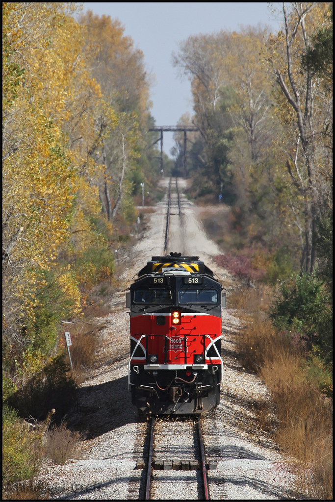
IAIS 513 with Sunday Special - MP 470.5

unable to get decent over-the-air coverage of "the victory garden," the tulips pitched in for a dish

iowan hubris
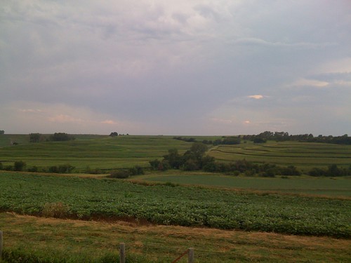
Cruising through western Iowa
New York Road Trip Day Three
#sunset over #Iowa . #LostAmericana
Bike Trail
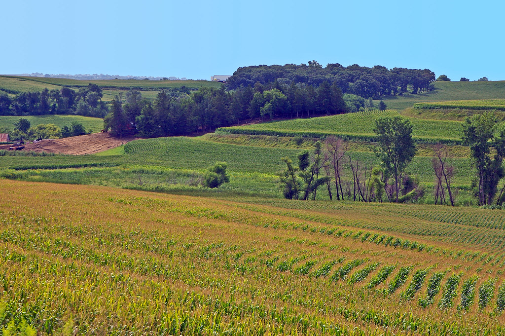
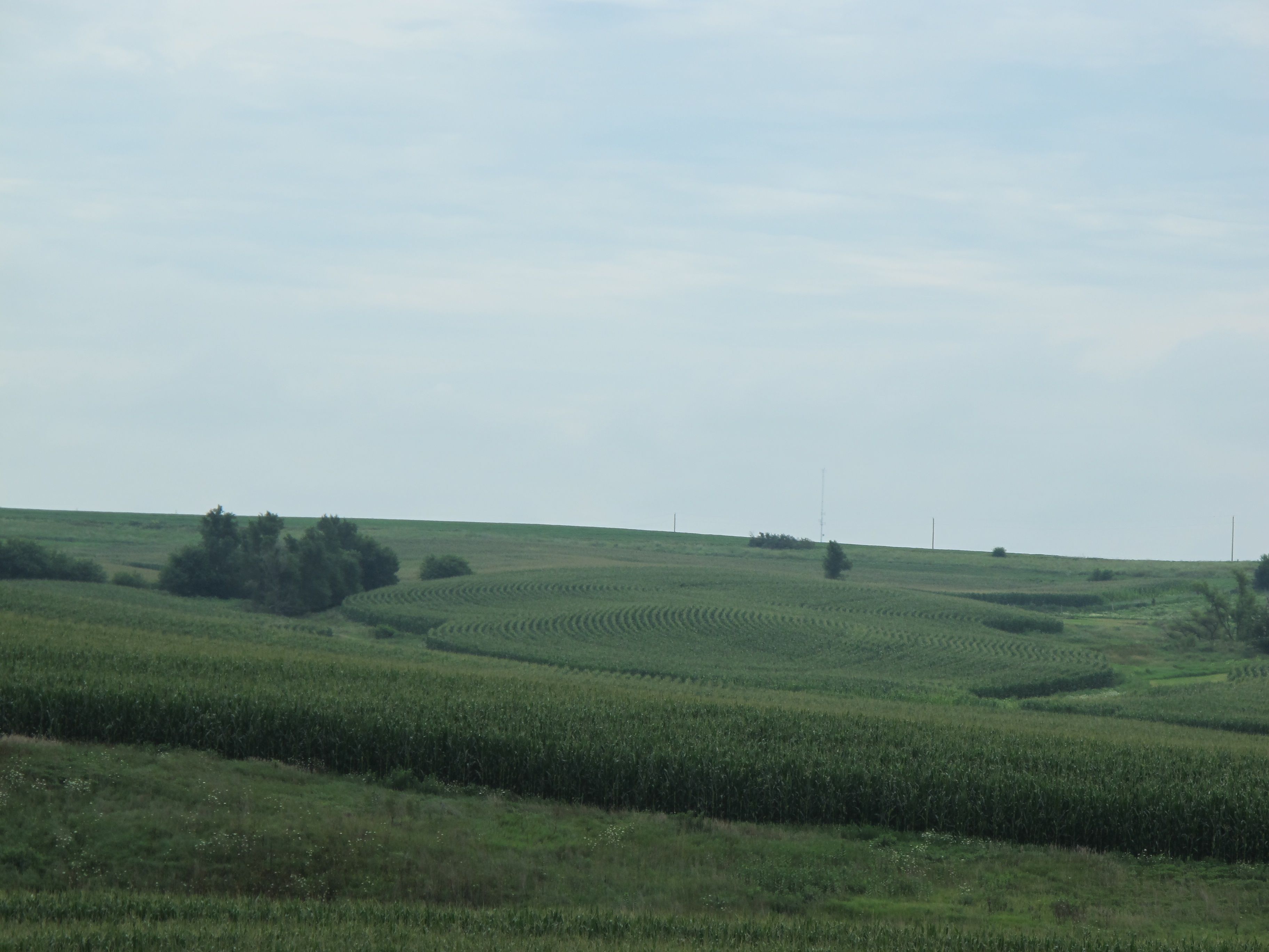
Terraced corn fields in the Loess Hills of western Iowa

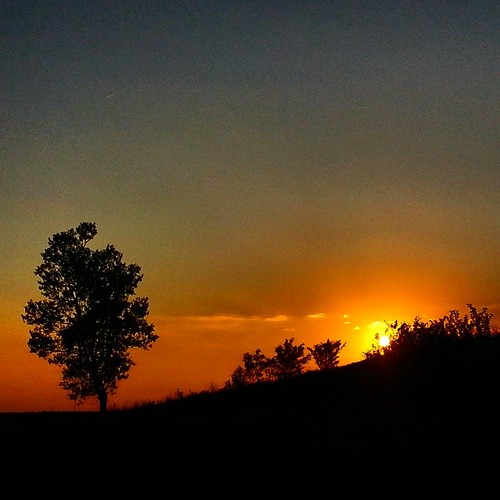
Setting Winter Sun
Cross-Country Road Trip
Beebeetown, Jul 20, 2008
Same old, same old....
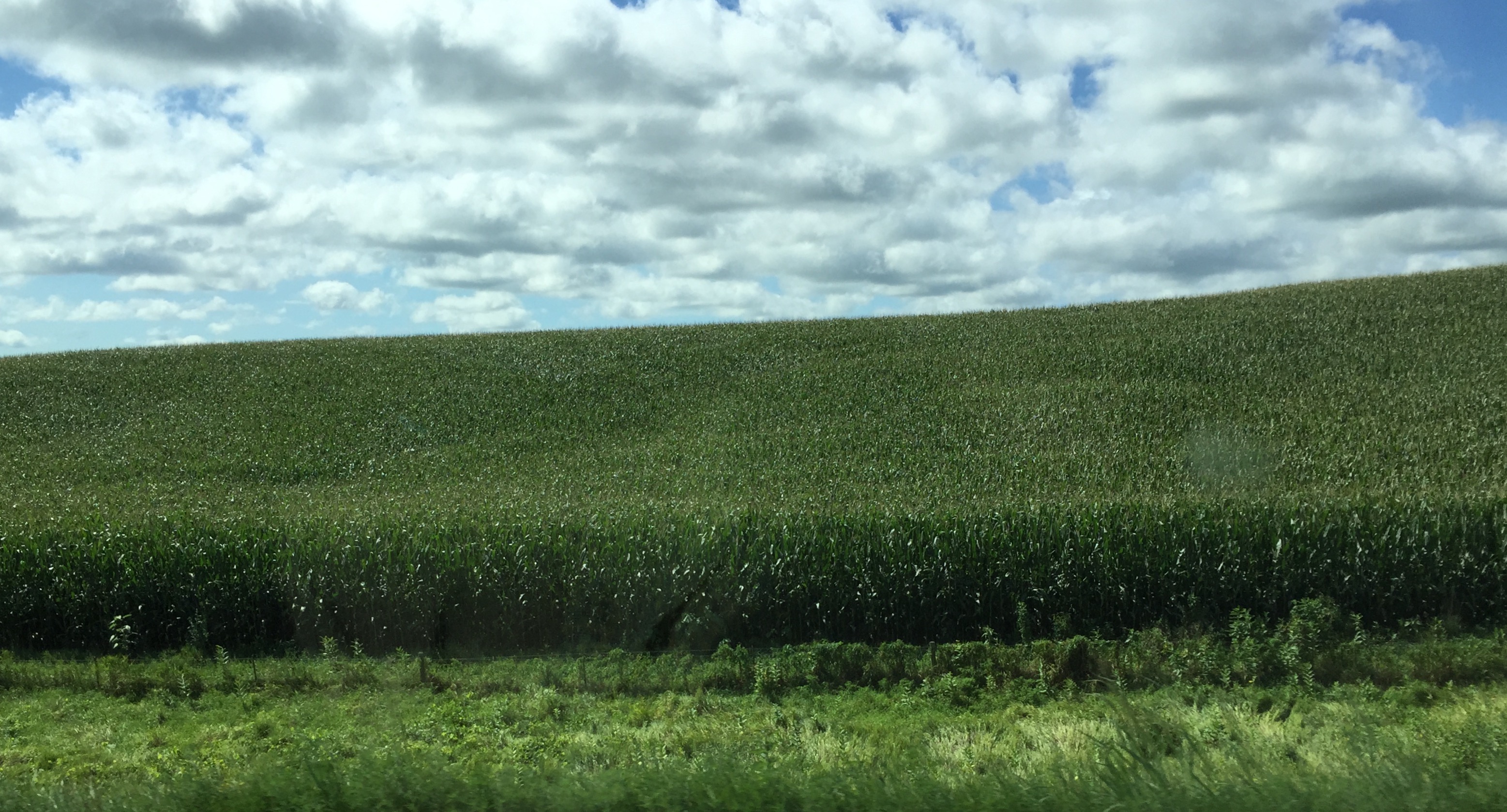
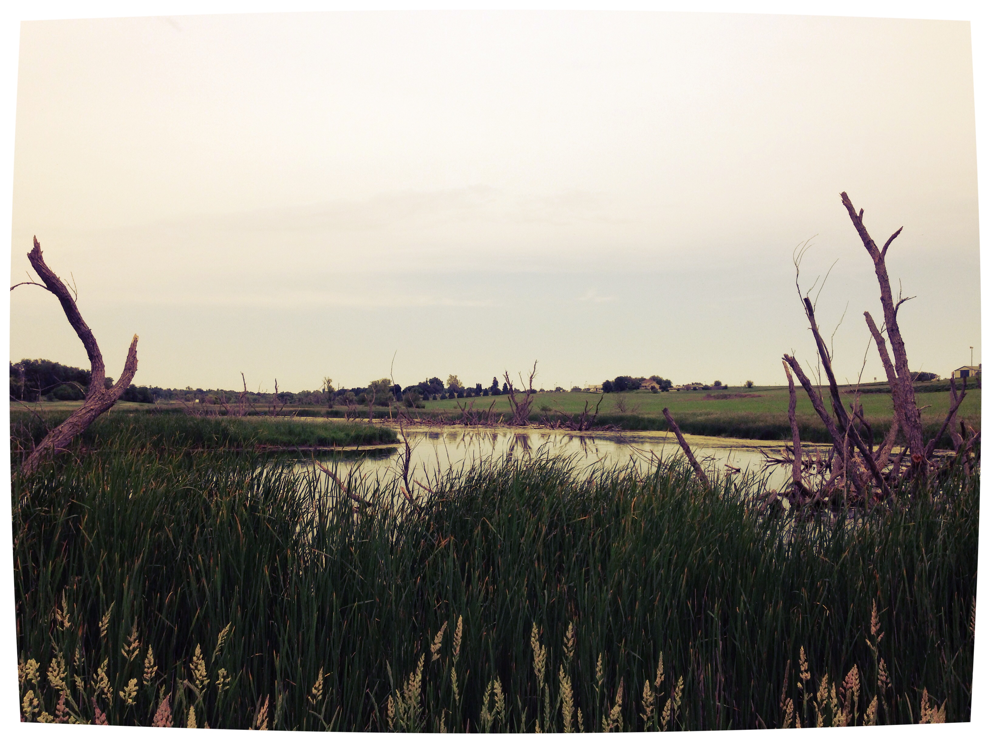
western iowa

20140629-IMG_6974
Topographic Map of Front St, Neola, IA, USA
Find elevation by address:

Places near Front St, Neola, IA, USA:
Neola
2nd St, Minden, IA, USA
3707 315th St
Persia
Washington
Pottawattamie County
James
27476 390th St
Washington
Shelby
Elmtree Rd, Carson, IA, USA
Treynor
7 E Main St, Treynor, IA, USA
Portsmouth
Main St, Portsmouth, IA, USA
Stevens Ave, Tennant, IA, USA
Tennant
Cass
Silver Creek
Carson
Recent Searches:
- Elevation of Corso Fratelli Cairoli, 35, Macerata MC, Italy
- Elevation of Tallevast Rd, Sarasota, FL, USA
- Elevation of 4th St E, Sonoma, CA, USA
- Elevation of Black Hollow Rd, Pennsdale, PA, USA
- Elevation of Oakland Ave, Williamsport, PA, USA
- Elevation of Pedrógão Grande, Portugal
- Elevation of Klee Dr, Martinsburg, WV, USA
- Elevation of Via Roma, Pieranica CR, Italy
- Elevation of Tavkvetili Mountain, Georgia
- Elevation of Hartfords Bluff Cir, Mt Pleasant, SC, USA