Elevation of Pinoak Rd, Hancock, IA, USA
Location: United States > Iowa > Pottawattamie County > Valley > Hancock >
Longitude: -95.287835
Latitude: 41.403918
Elevation: 403m / 1322feet
Barometric Pressure: 97KPa
Elevation Map:
Satellite Map:
Related Photos:
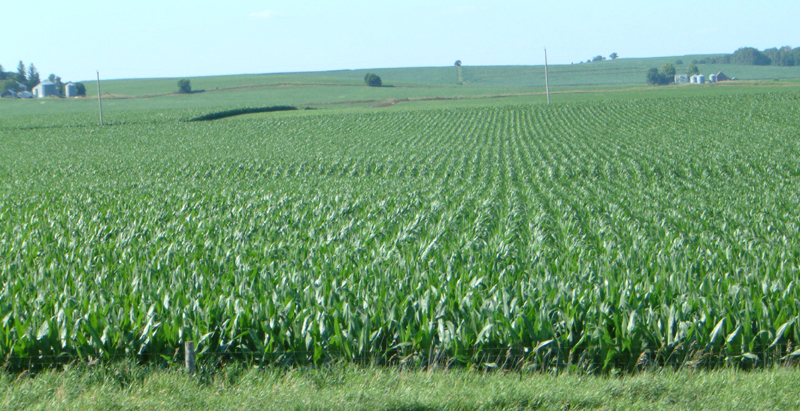
Corn on I-29

Hoar Frost
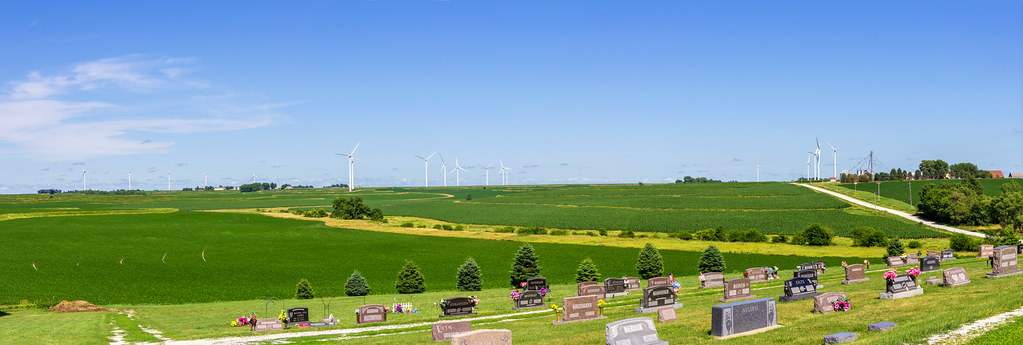
Death & Energy

Camera Roll-146
101914-329F

Iowa II

Iowa I
Camera Roll-14

Corn field

Iowa sunset

Ladies and Gentlemen, welcome to the Main Stage... Miss Amber Waves. Avoca, IA

big grove village church
Topographic Map of Pinoak Rd, Hancock, IA, USA
Find elevation by address:

Places near Pinoak Rd, Hancock, IA, USA:
Valley
31225 460th St
Knox
Hancock
1141 S Walnut St
451 S Walnut St
452 S Walnut St
Avoca
N Walnut St, Avoca, IA, USA
Walnut
Antique City Dr, Walnut, IA, USA
Layton
510th Street
Fairview
Fairview
Fairview
Fairview
Fairview
Fairview
Oakland
Recent Searches:
- Elevation of Corso Fratelli Cairoli, 35, Macerata MC, Italy
- Elevation of Tallevast Rd, Sarasota, FL, USA
- Elevation of 4th St E, Sonoma, CA, USA
- Elevation of Black Hollow Rd, Pennsdale, PA, USA
- Elevation of Oakland Ave, Williamsport, PA, USA
- Elevation of Pedrógão Grande, Portugal
- Elevation of Klee Dr, Martinsburg, WV, USA
- Elevation of Via Roma, Pieranica CR, Italy
- Elevation of Tavkvetili Mountain, Georgia
- Elevation of Hartfords Bluff Cir, Mt Pleasant, SC, USA