Elevation of th St, Avoca, IA, USA
Location: United States > Iowa > Pottawattamie County > Knox > Avoca >
Longitude: -95.306895
Latitude: 41.465057
Elevation: 371m / 1217feet
Barometric Pressure: 0KPa
Related Photos:
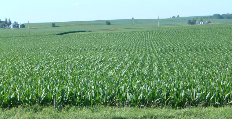
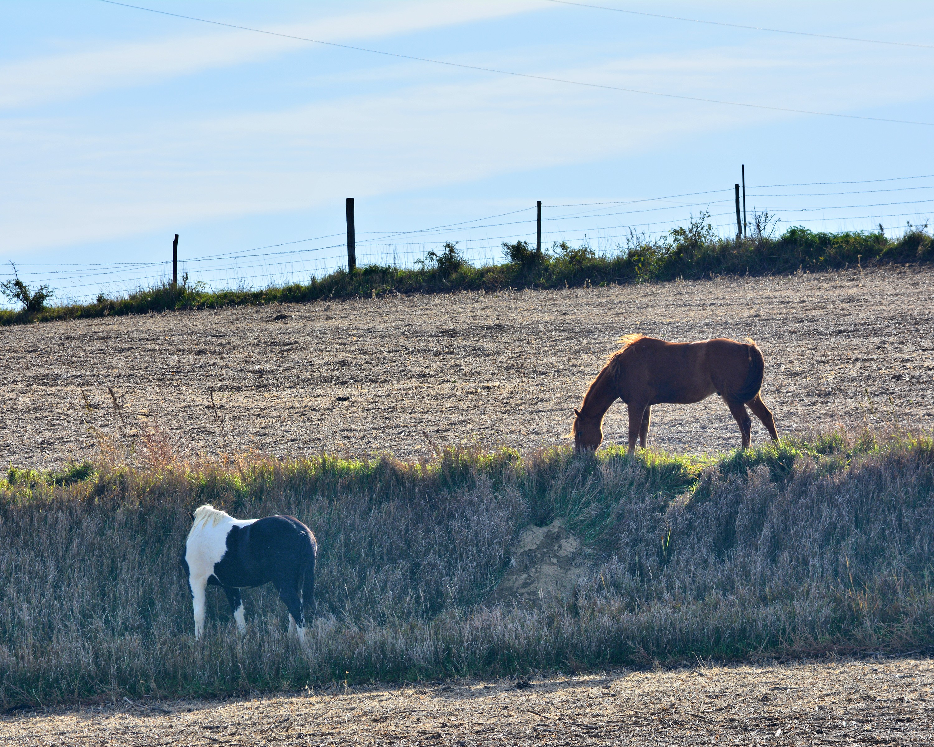
Corn on I-29

Hoar Frost

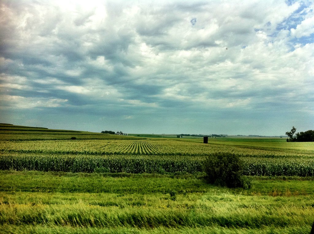
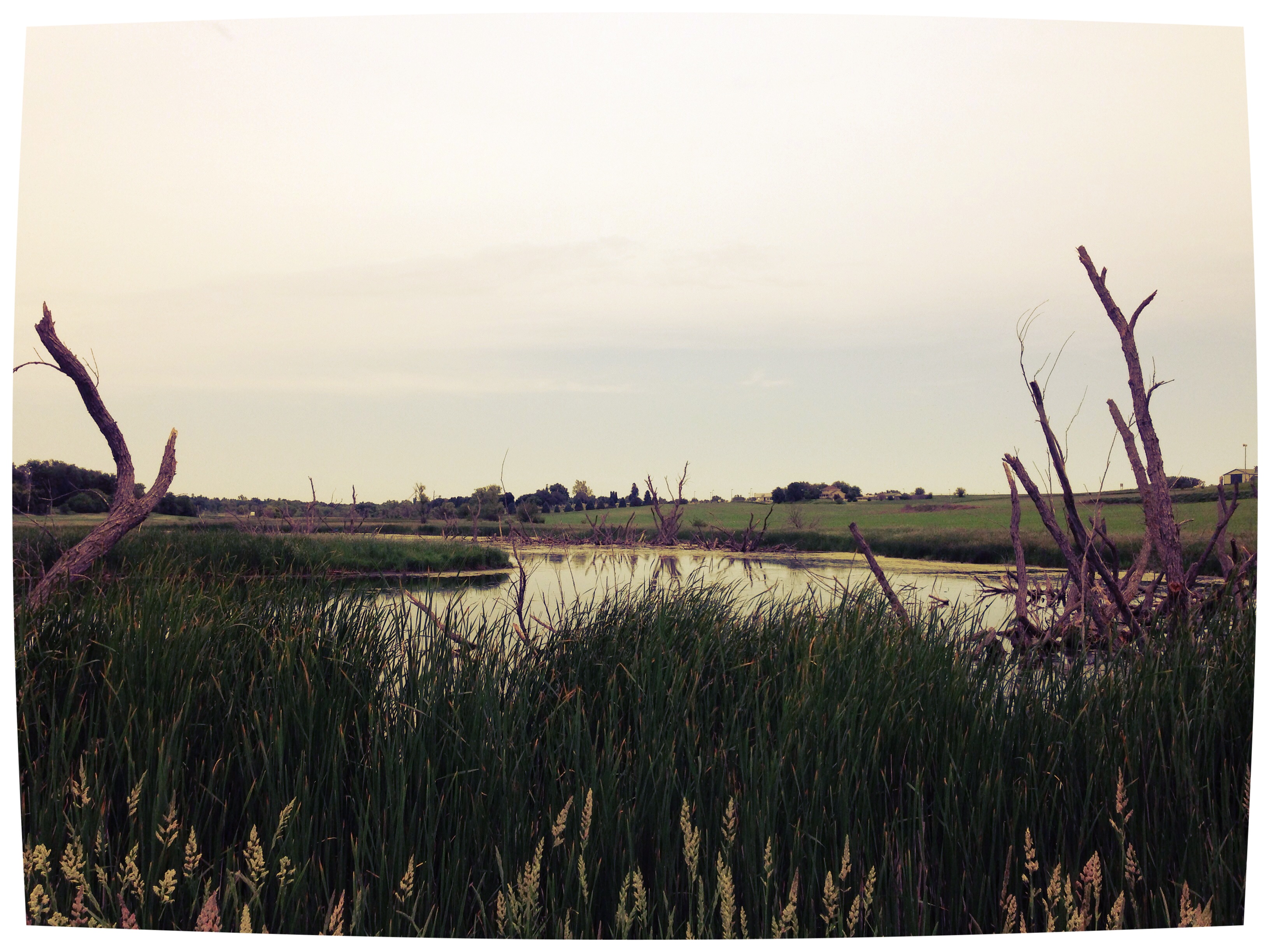
Iowa I

Iowa II
Camera Roll-20

Camera Roll-146
101914-329F

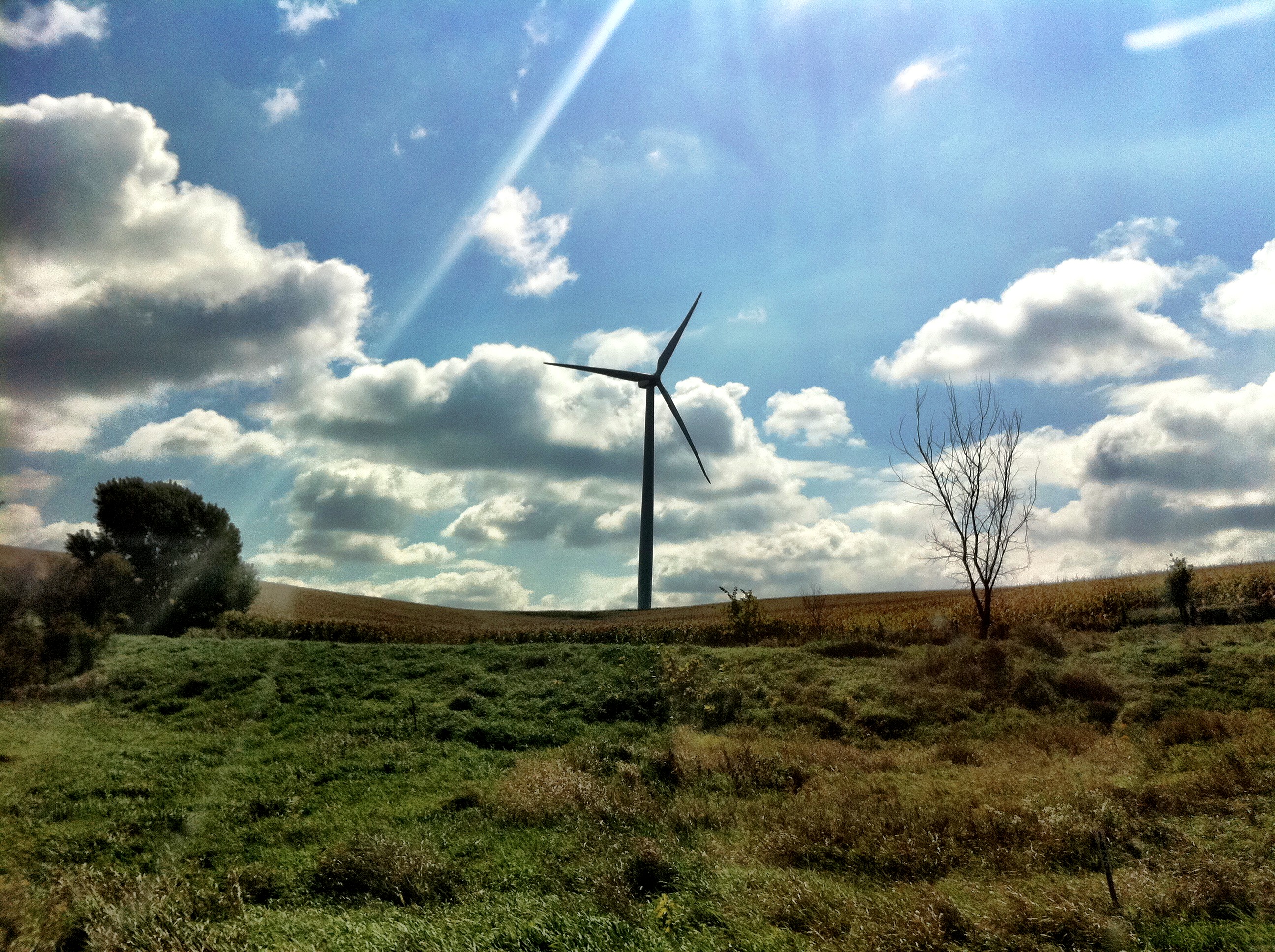
Ladies and Gentlemen, welcome to the Main Stage... Miss Amber Waves. Avoca, IA
Camera Roll-14

101914-332F
101914-334F
Bike Trail
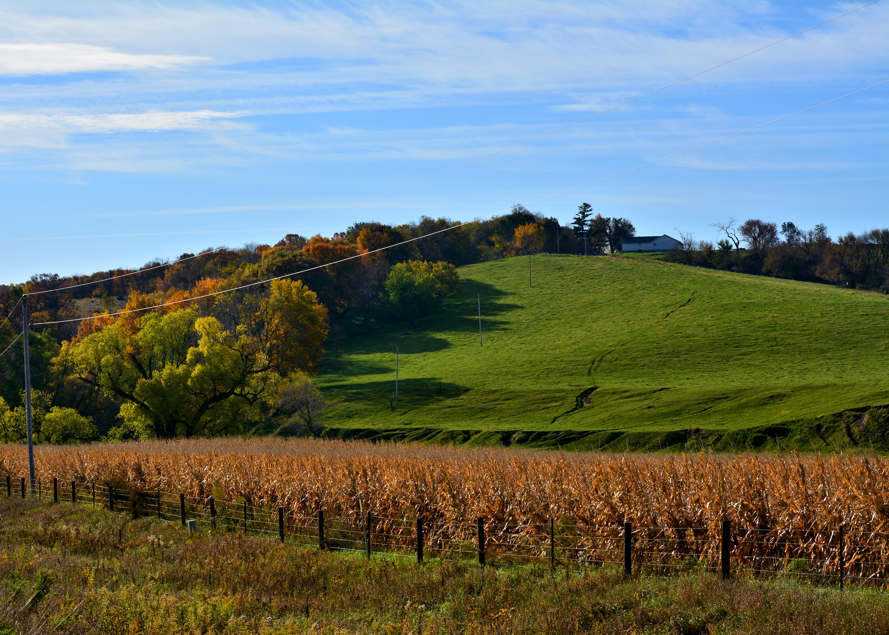
In Iowa
Avoca Iowa

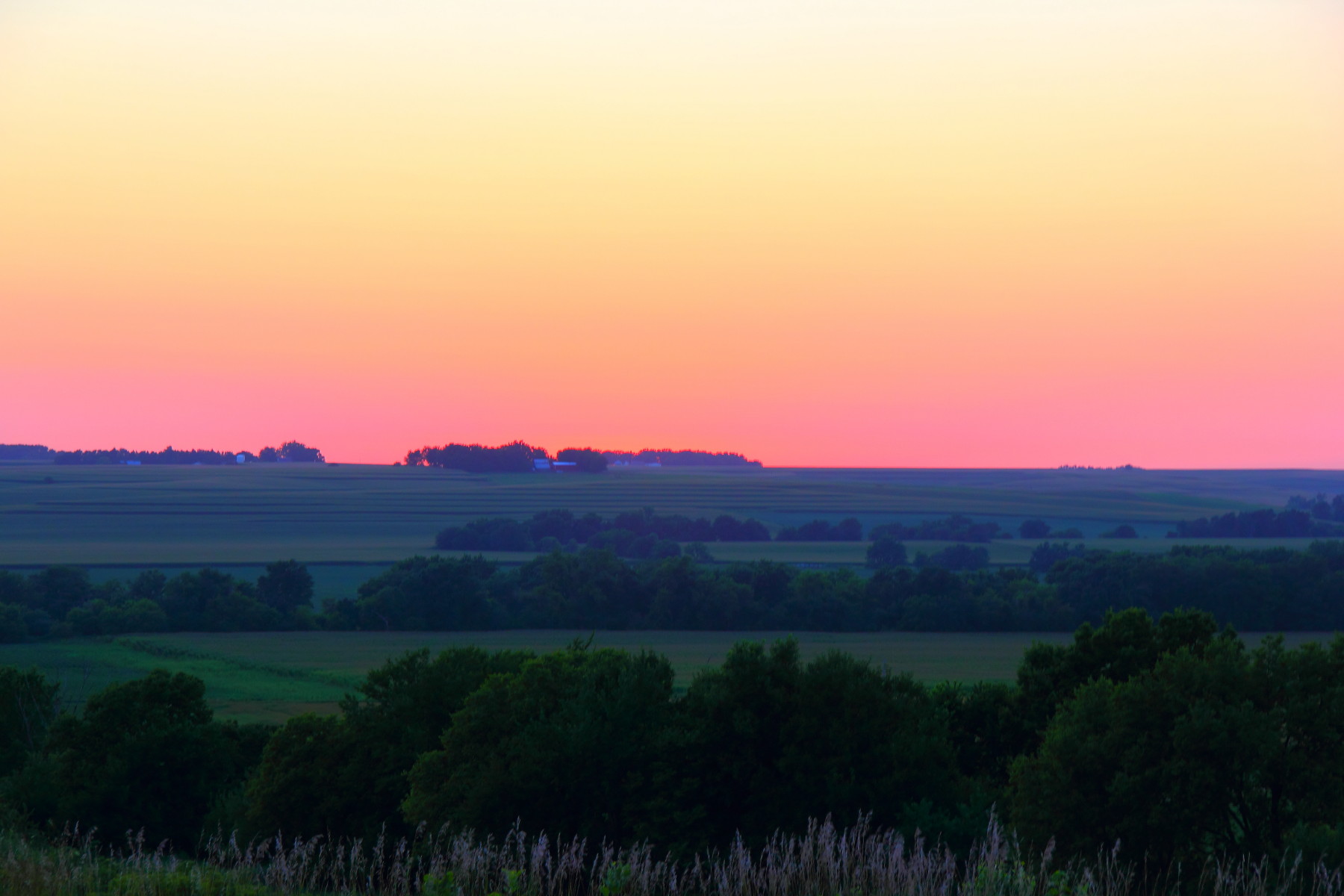
Iowa sunset

Landscape_080114_LR-6.jpg

Lone billboard

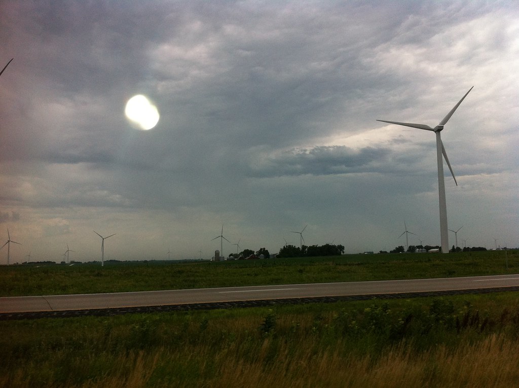
Chaser Convergence
Topographic Map of th St, Avoca, IA, USA
Find elevation by address:

Places near th St, Avoca, IA, USA:
Knox
1141 S Walnut St
451 S Walnut St
452 S Walnut St
Avoca
N Walnut St, Avoca, IA, USA
47053 Pinoak Rd
Fairview
Fairview
Fairview
Fairview
Fairview
Fairview
Walnut
Antique City Dr, Walnut, IA, USA
Valley
Hancock
Layton
510th Street
1St St E, Harlan, IA, USA
Recent Searches:
- Elevation of Pasing, Munich, Bavaria, 81241, Germany
- Elevation of 24, Auburn Bay Crescent SE, Auburn Bay, Calgary, Alberta, T3M 0A6, Canada
- Elevation of Denver, 2314, Arapahoe Street, Five Points, Denver, Colorado, 80205, USA
- Elevation of Community of the Beatitudes, 2924, West 43rd Avenue, Sunnyside, Denver, Colorado, 80211, USA
- Elevation map of Litang County, Sichuan, China
- Elevation map of Madoi County, Qinghai, China
- Elevation of 3314, Ohio State Route 114, Payne, Paulding County, Ohio, 45880, USA
- Elevation of Sarahills Drive, Saratoga, Santa Clara County, California, 95070, USA
- Elevation of Town of Bombay, Franklin County, New York, USA
- Elevation of 9, Convent Lane, Center Moriches, Suffolk County, New York, 11934, USA
- Elevation of Saint Angelas Convent, 9, Convent Lane, Center Moriches, Suffolk County, New York, 11934, USA
- Elevation of 131st Street Southwest, Mukilteo, Snohomish County, Washington, 98275, USA
- Elevation of 304, Harrison Road, Naples, Cumberland County, Maine, 04055, USA
- Elevation of 2362, Timber Ridge Road, Harrisburg, Cabarrus County, North Carolina, 28075, USA
- Elevation of Ridge Road, Marshalltown, Marshall County, Iowa, 50158, USA
- Elevation of 2459, Misty Shadows Drive, Pigeon Forge, Sevier County, Tennessee, 37862, USA
- Elevation of 8043, Brightwater Way, Spring Hill, Williamson County, Tennessee, 37179, USA
- Elevation of Starkweather Road, San Luis, Costilla County, Colorado, 81152, USA
- Elevation of 5277, Woodside Drive, Baton Rouge, East Baton Rouge Parish, Louisiana, 70808, USA
- Elevation of 1139, Curtin Street, Shepherd Park Plaza, Houston, Harris County, Texas, 77018, USA