Elevation of th St, Atlantic, IA, USA
Location: United States > Iowa > Cass County > Pymosa >
Longitude: -94.946419
Latitude: 41.4534292
Elevation: 365m / 1198feet
Barometric Pressure: 97KPa
Elevation Map:
Satellite Map:
Related Photos:
2011-09-01 13.24.50

Sunset. Lake Anita State Park. Anita, Iowa.
2011-09-01 13.22.16
100113-005F

happy trees
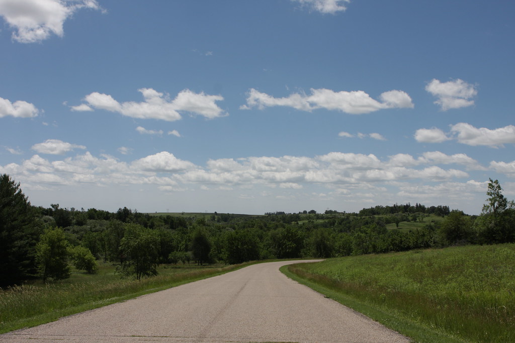
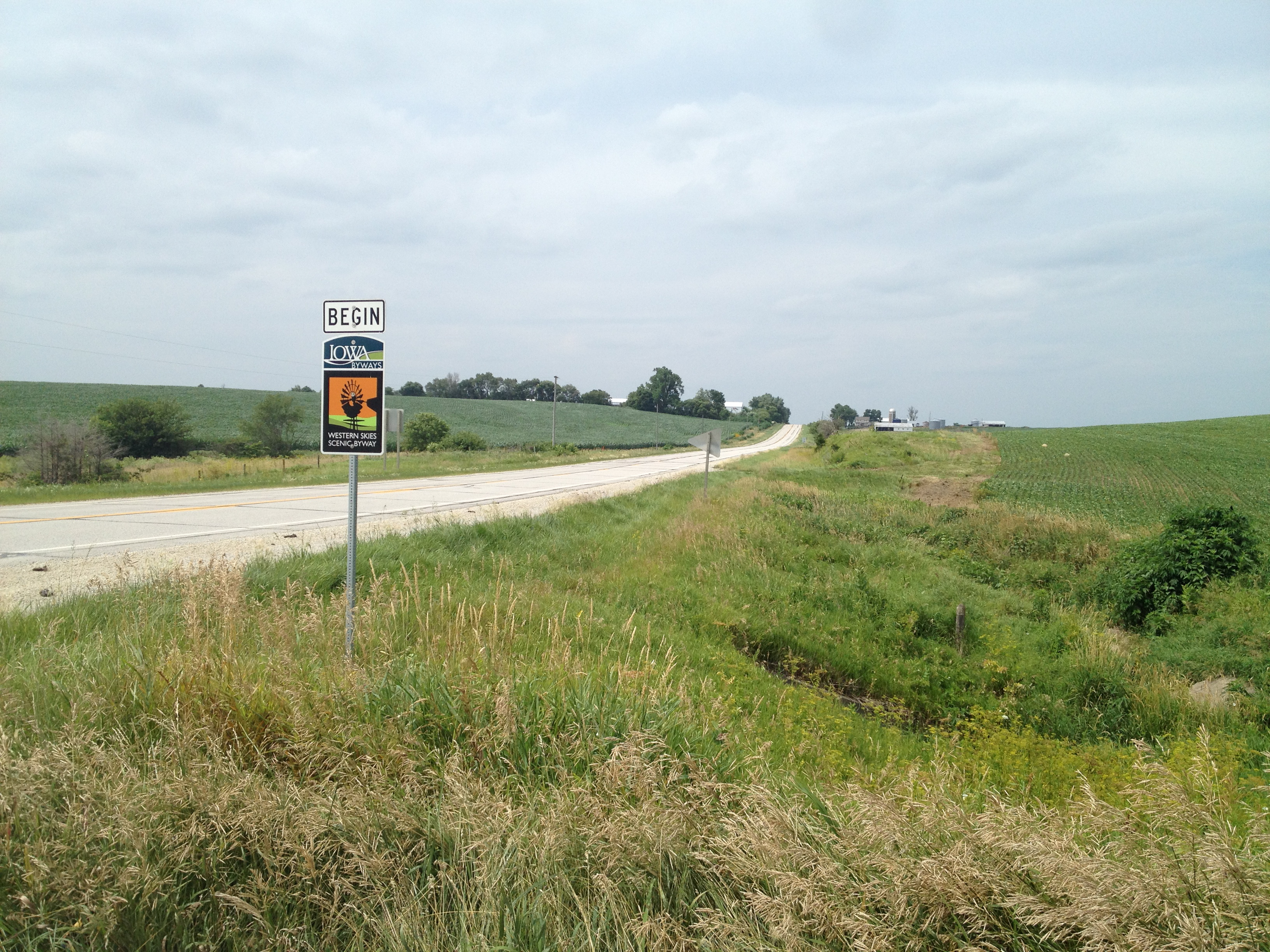
The Journey Begins
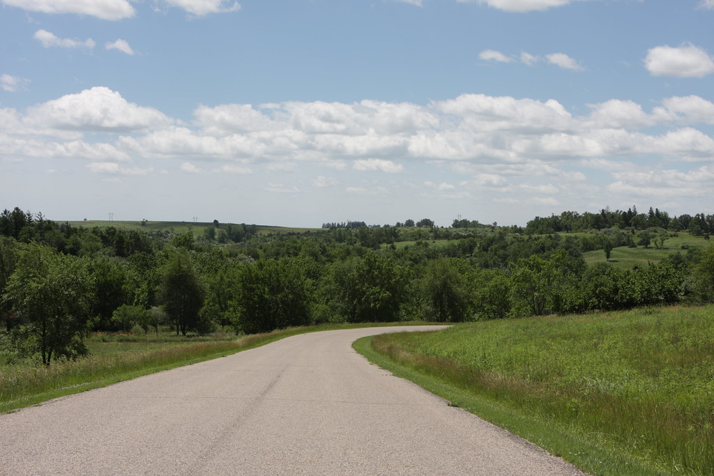
Outside Brayton

Lake Anita State Park, Iowa

Lake Anita State Park, Anita, Iowa

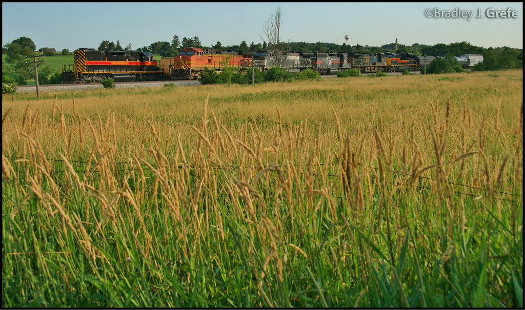
IAIS 154 - Ballast Empty - Anita IA

Coca-Cola Relieves Fatigue
Lake Anita State Park
Lake Anita State Park
DENCBBIGAL - Switching - Anita IA
Lake Anita State Park
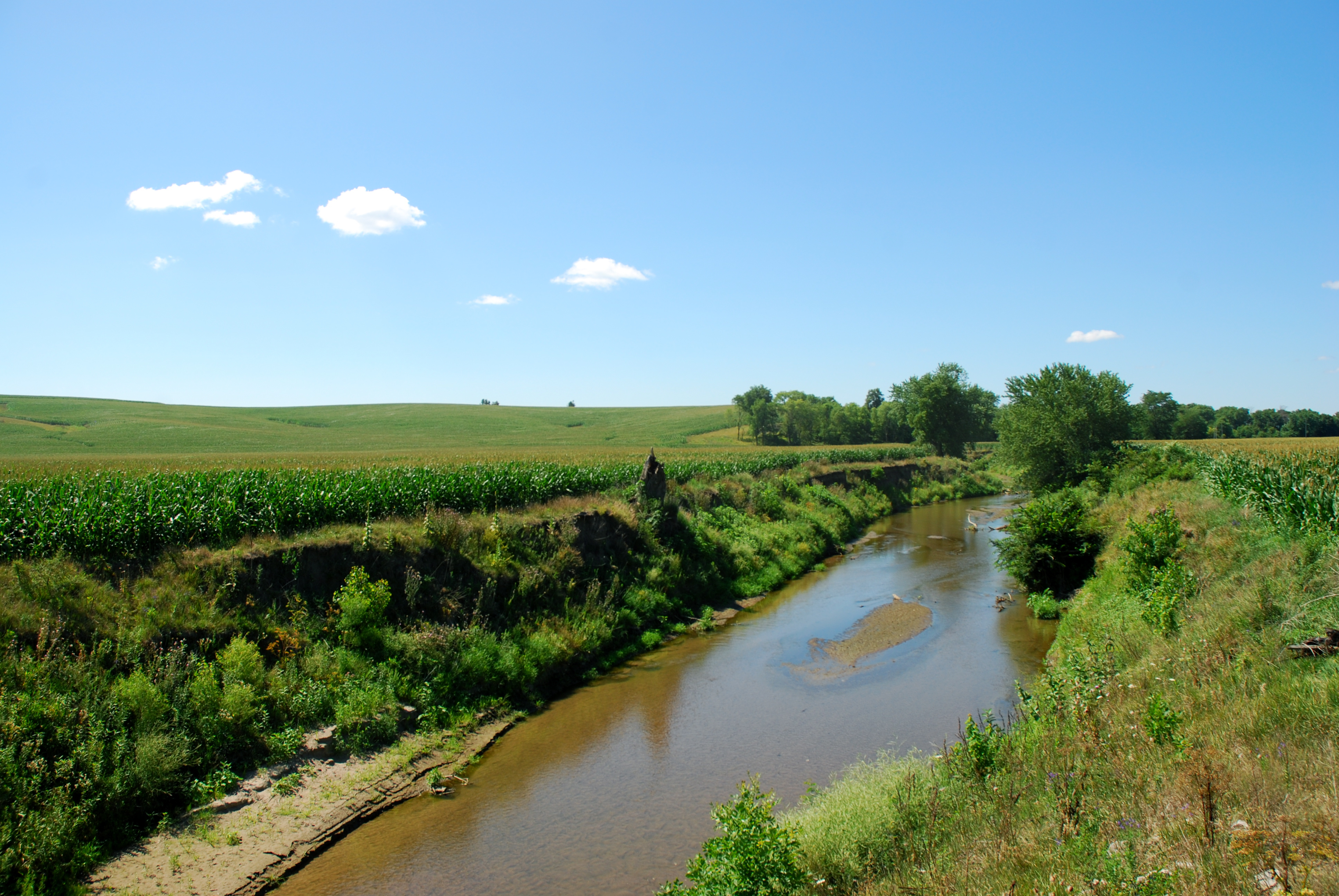
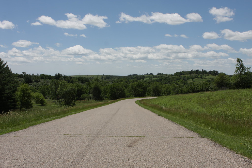
side of the road, IA
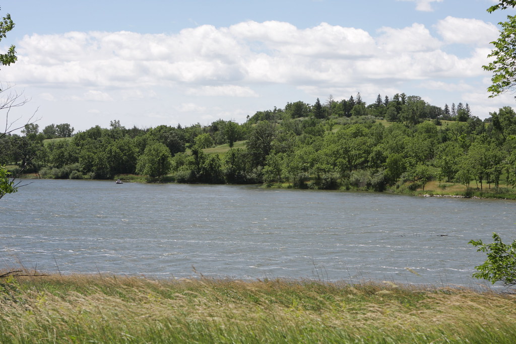
Lake Anita
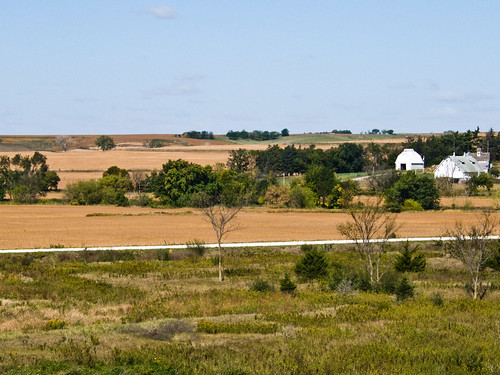
dam farm

Lake Anita
Topographic Map of th St, Atlantic, IA, USA
Find elevation by address:

Places near th St, Atlantic, IA, USA:
Pymosa
1307 E 7th St
110 Allen St
Wiota
Grove
Atlantic
611 E 19th St
3271 Us-71
68899 Hamburg Rd
Brayton
47706 W 2nd St
47706 W 2nd St
Oakfield
Franklin
60768 690th St
Exira
Brighton
W Washington St, Exira, IA, USA
Exira
Clay
Recent Searches:
- Elevation of Corso Fratelli Cairoli, 35, Macerata MC, Italy
- Elevation of Tallevast Rd, Sarasota, FL, USA
- Elevation of 4th St E, Sonoma, CA, USA
- Elevation of Black Hollow Rd, Pennsdale, PA, USA
- Elevation of Oakland Ave, Williamsport, PA, USA
- Elevation of Pedrógão Grande, Portugal
- Elevation of Klee Dr, Martinsburg, WV, USA
- Elevation of Via Roma, Pieranica CR, Italy
- Elevation of Tavkvetili Mountain, Georgia
- Elevation of Hartfords Bluff Cir, Mt Pleasant, SC, USA