Elevation of th St, Wiota, IA, USA
Location: United States > Iowa > Cass County > Franklin > Wiota >
Longitude: -94.872200
Latitude: 41.3493863
Elevation: 413m / 1355feet
Barometric Pressure: 96KPa
Elevation Map:
Satellite Map:
Related Photos:

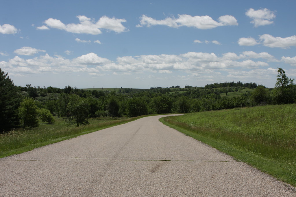
DSC_0313

DSC_0309

DSC_0323

DSC_0326

DSC_0321

DSC_0324

happy trees

Lake Anita State Park, Iowa
100113-005F
Lake Anita State Park
Lake Anita State Park
DENCBBIGAL - Switching - Anita IA
Lake Anita State Park

Lake Anita
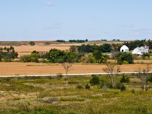
dam farm

0U1A8175 Massena IA - Massena Cemetery - LANGWORTHY

0U1A8208 Massena IA - Massena Cemetery - LANGWORTHY

IAIS 154 - Ballast Empty - Anita IA
Topographic Map of th St, Wiota, IA, USA
Find elevation by address:

Places near th St, Wiota, IA, USA:
Franklin
68899 Hamburg Rd
Wiota
110 Allen St
th St, Atlantic, IA, USA
Grove
1307 E 7th St
1000 Hillcrest Dr
Lake Anita State Park
611 E 19th St
Cass County
Anita
Main St, Anita, IA, USA
Atlantic
Grant
Lyman St, Griswold, IA, USA
47706 W 2nd St
47706 W 2nd St
Pymosa
3271 Us-71
Recent Searches:
- Elevation of Corso Fratelli Cairoli, 35, Macerata MC, Italy
- Elevation of Tallevast Rd, Sarasota, FL, USA
- Elevation of 4th St E, Sonoma, CA, USA
- Elevation of Black Hollow Rd, Pennsdale, PA, USA
- Elevation of Oakland Ave, Williamsport, PA, USA
- Elevation of Pedrógão Grande, Portugal
- Elevation of Klee Dr, Martinsburg, WV, USA
- Elevation of Via Roma, Pieranica CR, Italy
- Elevation of Tavkvetili Mountain, Georgia
- Elevation of Hartfords Bluff Cir, Mt Pleasant, SC, USA