Elevation of 5 Keets Brook Rd, Leyden, MA, USA
Location: United States > Massachusetts > Franklin County > Leyden >

Longitude: -72.612784

Latitude: 42.7306409

Elevation: 196m / 643feet

Barometric Pressure: 99KPa

Elevation Map:

elevation map of 5 Keets Brook Rd, Leyden, MA, USA

Satellite Map:

Satellite map of 5 Keets Brook Rd, Leyden, MA, USA
Related Photos:

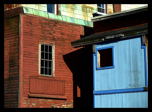
buildings backyard structures vt brattleborovermont olympuse510 professorbop harmonyparking
Brattleboro Backyards
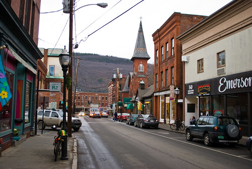
street urban night olympuse300 vt brattleborovermont professorbop
Brattleboro Night
summer water smiling river fun happy warm weekend greenriver splash serendipity playful spontaneous splashing gemmifer
summer weekend
film massachusetts newengland roadsideattraction greenfield smalltown fujisuperiaxtra400 plasticlens c41 westernma vivitarultrawideandslim vivitarultrawidelens22mm
Long View Tower
tree fallcolors fallfarmland pasture farmusdadepartmentofagricultureusdepartmentofagricultureaerialfruittreesappleorchardfarmbarn
20191016-NRCS-LSC-0004
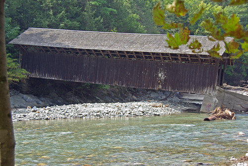
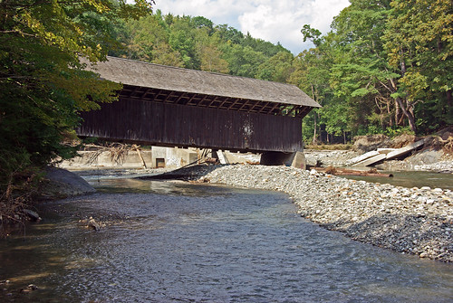
bridge usa river ma flood massachusetts newengland greenriver coveredbridge greenfield hurricaneirene eunicewilliamsbridge charleskellogg eunicewilliams charlesgkellogg charliekellogg greenriverpumpingstation copyright2011
View from East Side to Hurricane Damaged Eunice Williams Covered Bridge
bridge usa river ma flood massachusetts newengland greenriver coveredbridge greenfield hurricaneirene eunicewilliamsbridge charleskellogg eunicewilliams charlesgkellogg charliekellogg greenriverpumpingstation copyright2011
View from East Side to Hurricane Damaged Eunice Williams Covered Bridge
Brattleboro, VT.
bridge usa river ma flood massachusetts newengland greenriver coveredbridge greenfield hurricaneirene eunicewilliamsbridge charleskellogg eunicewilliams charlesgkellogg charliekellogg greenriverpumpingstation copyright2011
View from East Side to Hurricane Damaged Eunice Williams Covered Bridge
bridge usa river ma flood massachusetts newengland greenriver coveredbridge greenfield hurricaneirene eunicewilliamsbridge charleskellogg eunicewilliams charlesgkellogg charliekellogg greenriverpumpingstation copyright2011
View Upriver from West Side to Hurricane Damaged Eunice Williams Covered Bridge
bridge usa river ma flood massachusetts newengland greenriver coveredbridge greenfield hurricaneirene eunicewilliamsbridge charleskellogg eunicewilliams charlesgkellogg charliekellogg greenriverpumpingstation copyright2011
View through Bridge to East Portal to Hurricane Damaged Eunice Williams Covered Bridge
bridge usa river ma flood massachusetts newengland greenriver coveredbridge greenfield hurricaneirene eunicewilliamsbridge charleskellogg eunicewilliams charlesgkellogg charliekellogg greenriverpumpingstation copyright2011
View from East Side to Hurricane Damaged Eunice Williams Covered Bridge
bridge usa river ma flood massachusetts newengland greenriver coveredbridge greenfield hurricaneirene eunicewilliamsbridge charleskellogg eunicewilliams charlesgkellogg charliekellogg greenriverpumpingstation copyright2011
View Upriver from East Side to Hurricane Damaged Eunice Williams Covered Bridge
bridge usa river ma flood massachusetts newengland greenriver coveredbridge greenfield hurricaneirene eunicewilliamsbridge charleskellogg eunicewilliams charlesgkellogg charliekellogg greenriverpumpingstation copyright2011
View from East Side to Hurricane Damaged Eunice Williams Covered Bridge
ma scenic roundhouse colrain
View from the Roundhouse
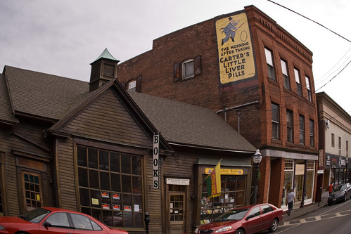
downtown vermont distorted bricks newengland books brattleboro vt cartersliverpills
Brattleboro, VT.
vermont view overlook brattleboro vt
Brattleboro overlook
View of the CT River from bridge...
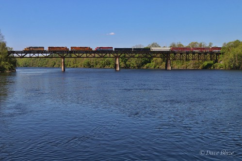
NECR 611 Southbound Crossing the Connecticut River
611 Steps Out Over the Connecticut River
2017 clichésaturday river sky 1017 vacation hinsdale newhampshire unitedstates us
On the Connecticut River
labradoodle dog unitypark turnersfallsma green grass park landscape trees nature janelazarz walkingnewengland massachusetts nilon p900
Just social distancing mom...
rockdam uploaded:by=flickrmobile flickriosapp:filter=nofilter
Rock Dam
The Wall
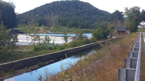
Along the Canal on Rt. 112 in Colrain....
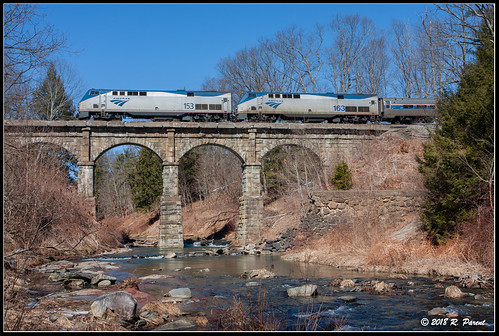
The Vermonter at Bernardston
vermont brattleboro brattleborovt newengland foliage autumn fall colors roadtrip travel bridge newhampshire bridgestbridge bridgest hinsdalenh hinsdale connecticutriver canon 24105l infrared infraredlandscape 7d canon7d
Brattleboro IR_20191014_093
ny geotagged vermont unitedstates bobby halifax vt zucco 2013 bobbyzucco pedrozucco
Rocks at Halifax
fall nh us usa autumn automne unitedstates newengland newhampshire landscape licensed exclusive getty
Fall in New Hampshire
flowers sunset vermont brattleborovt d5100
Brattleboro Sunset...
vermont brattleboro vt
Whetstone Brook, Brattleboro VT
winter urban mill abandoned water canal massachusetts urbandecay newengland industriallandscape turnersfalls montague
Abandoned Mill - 2
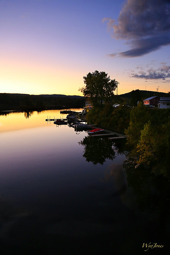
sunset tree marina buildings reflections river boats restaurant vermont junction np brattleboro connecticutriver westriver wantastiquet windhamcounty wyojones watersofthelonelyway
The West River at Brattleboro
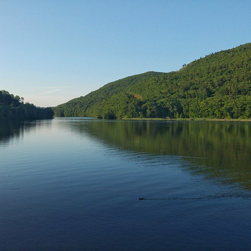
square squareformat iphoneography instagramapp uploaded:by=instagram foursquare:venue=4ff4b4ece4b048eef6bfd5e8
Dinner view #perfectevening #LGG4
flowers mountains mamiya creek outdoors stream massachusetts newengland shelburnefalls sekor leafaptus22
Untitled-1
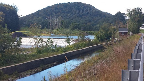
waterfall colrain mountain rt112 canal
Waterfall and side canal
winter urban mill abandoned massachusetts urbandecay newengland industriallandscape turnersfalls montague
Abandoned Mill
square squareformat iphoneography instagramapp uploaded:by=instagram
Softly around the bend. Captured with the #sonya7rii and #canon 24-70 with @nisifilters 10 stop ND. 25 second exposure.
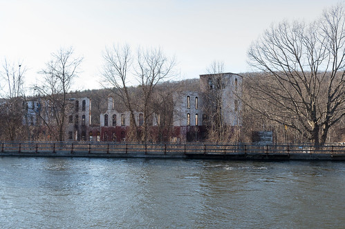
winter mill water canal massachusetts newengland industriallandscape turnersfalls montague
Hydro Canal