Elevation of Basin Rd, Vernon, VT, USA
Location: United States > Vermont > Windham County > Vernon >
Longitude: -72.53529
Latitude: 42.732877
Elevation: 243m / 797feet
Barometric Pressure: 98KPa
Elevation Map:
Satellite Map:
Related Photos:

Madame Sherri's Castle

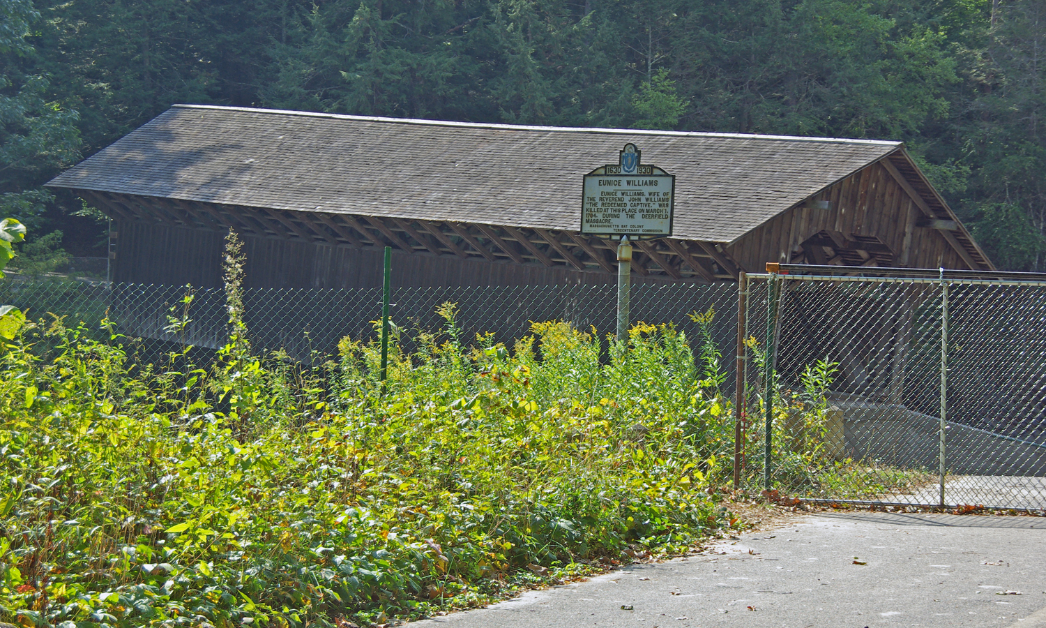
View through Bridge to East Portal to Hurricane Damaged Eunice Williams Covered Bridge
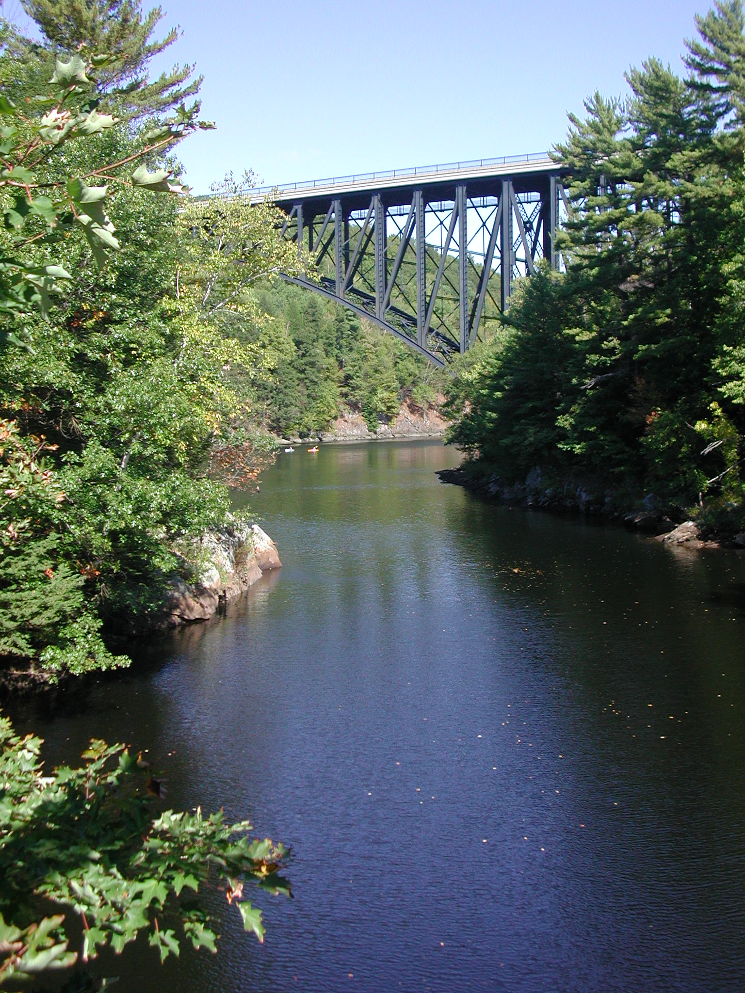
CRWC French King Bridge from Millers 2007 21

Rainy day in Brattleboro

Morning on the canal view 3
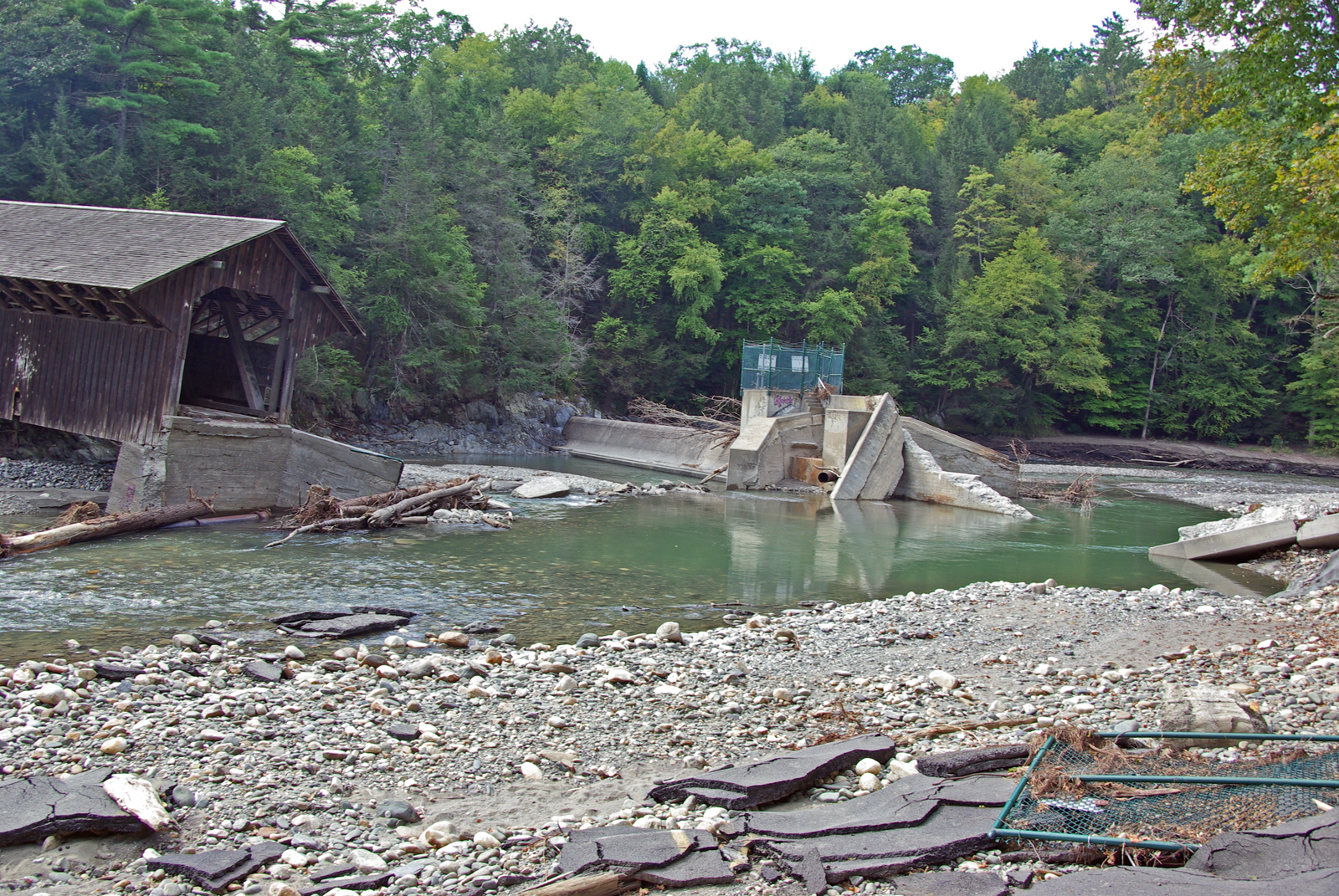
View from East Side to Hurricane Damaged Eunice Williams Covered Bridge
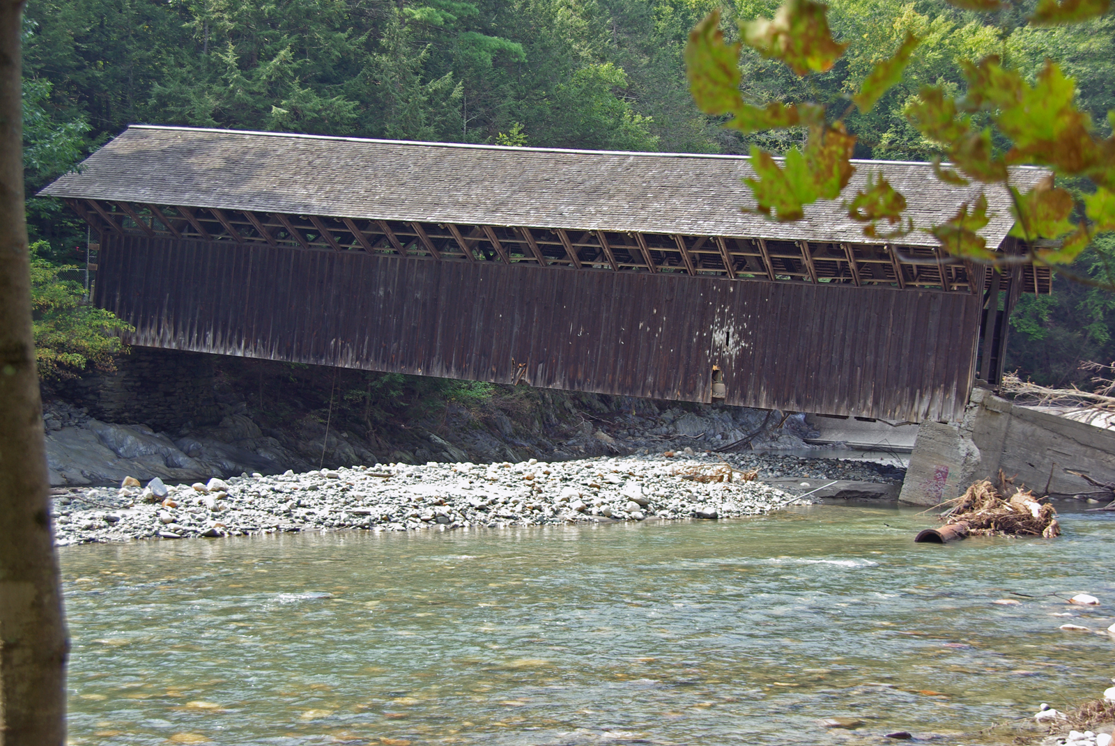
View from East Side to Hurricane Damaged Eunice Williams Covered Bridge

Desk, April 2011
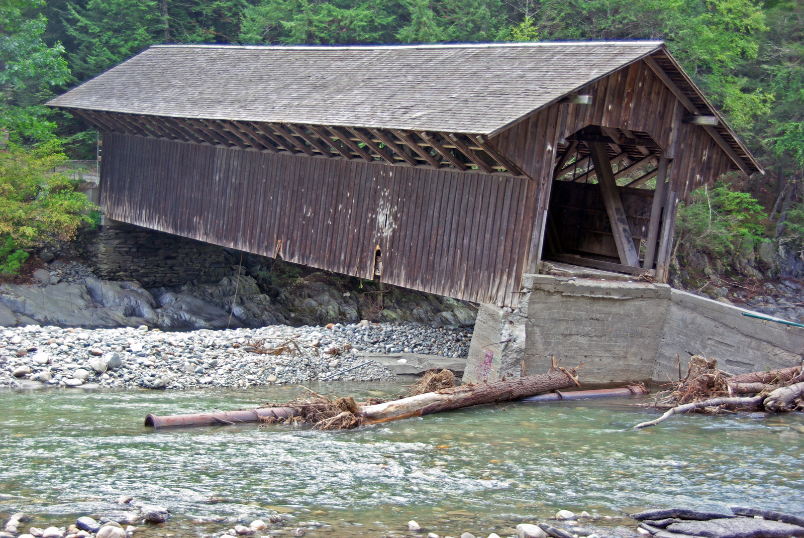
View from East Side to Hurricane Damaged Eunice Williams Covered Bridge
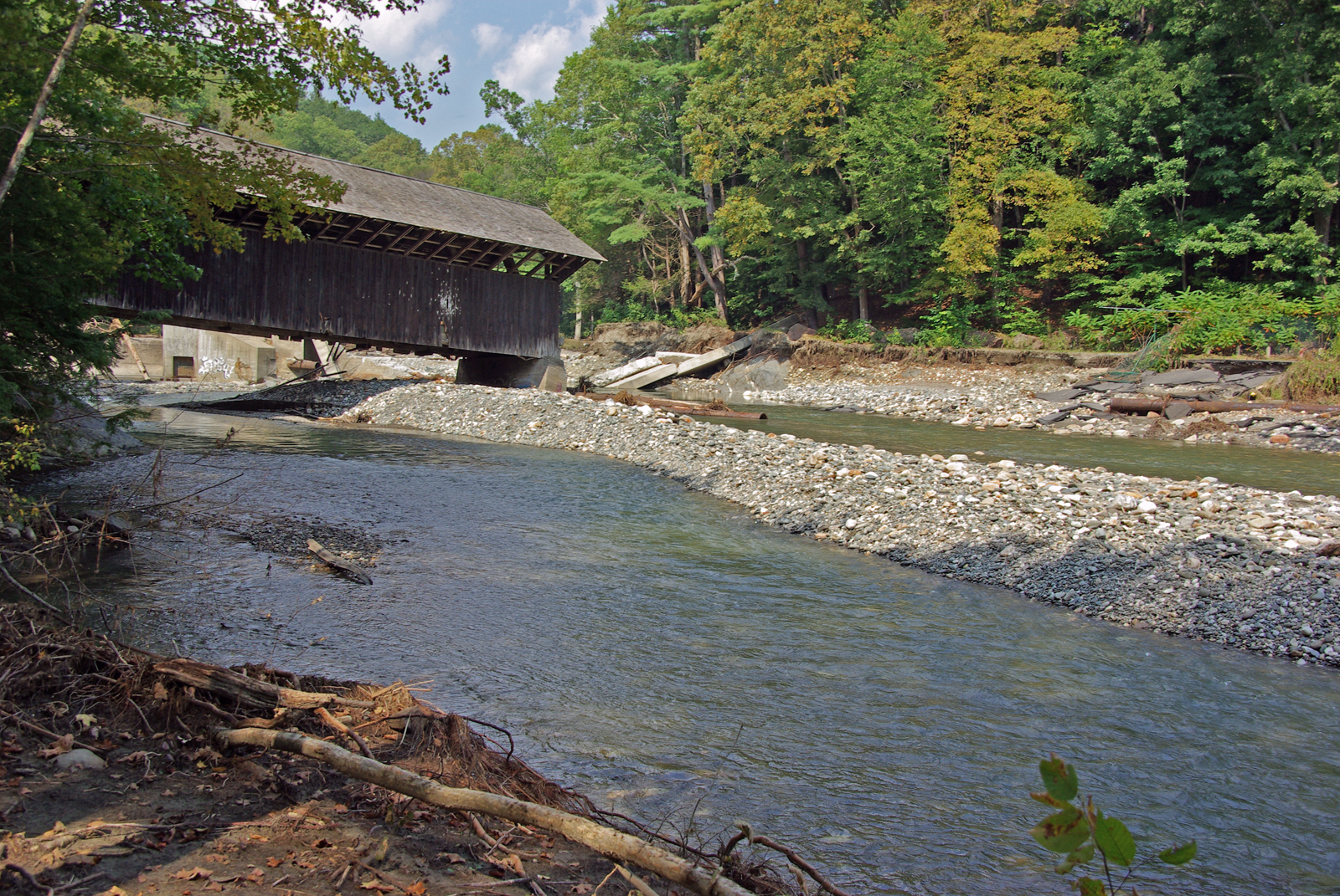
View Upriver from West Side to Hurricane Damaged Eunice Williams Covered Bridge
View from East Side to Hurricane Damaged Eunice Williams Covered Bridge
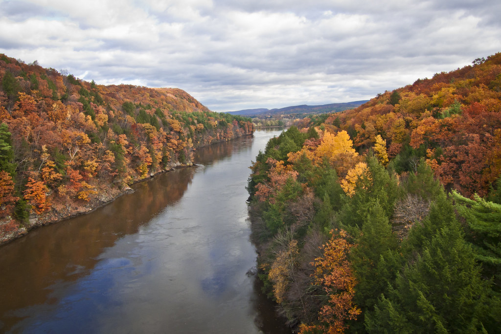
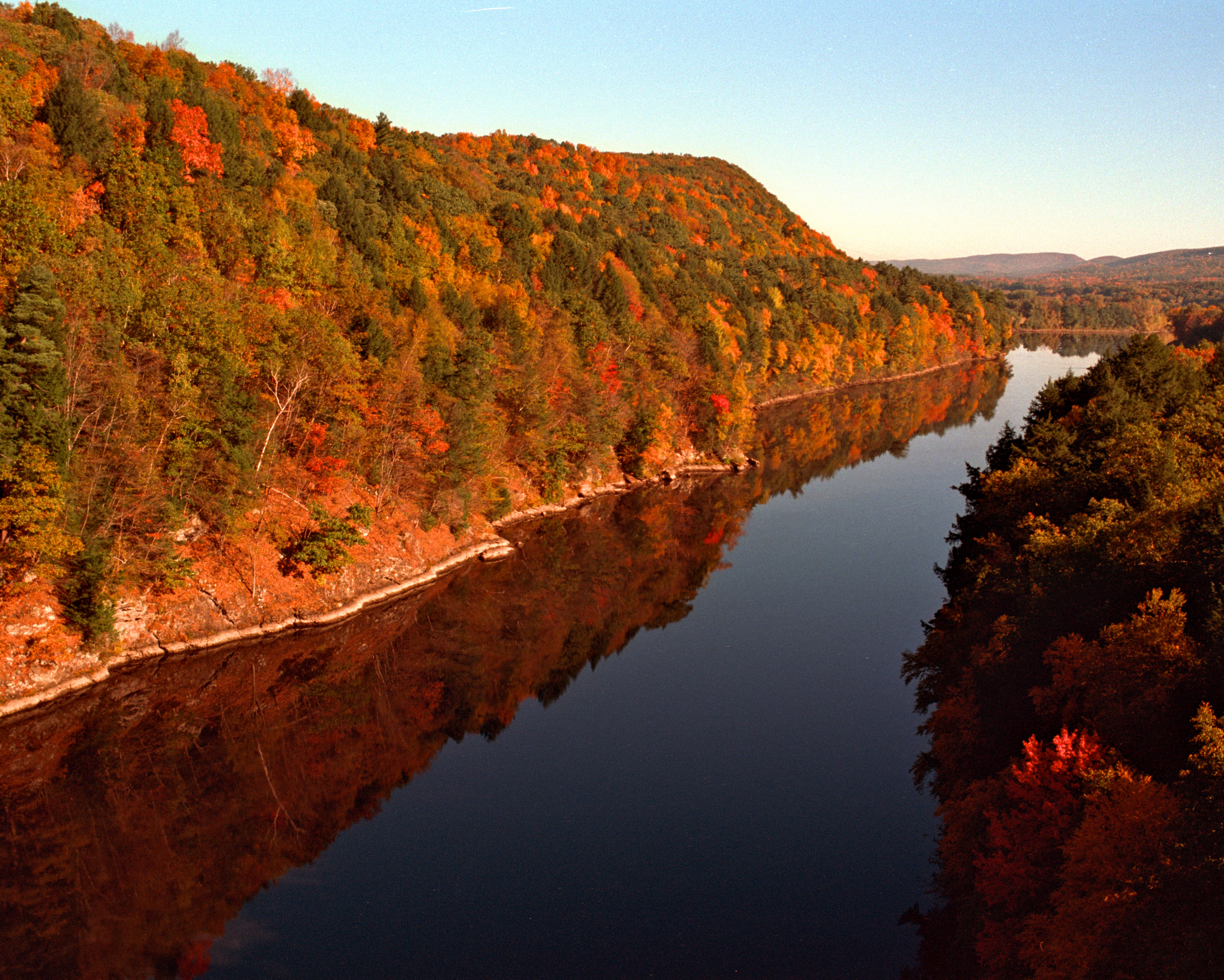
Autumn Foliage Scenery viewed from French King Bridge

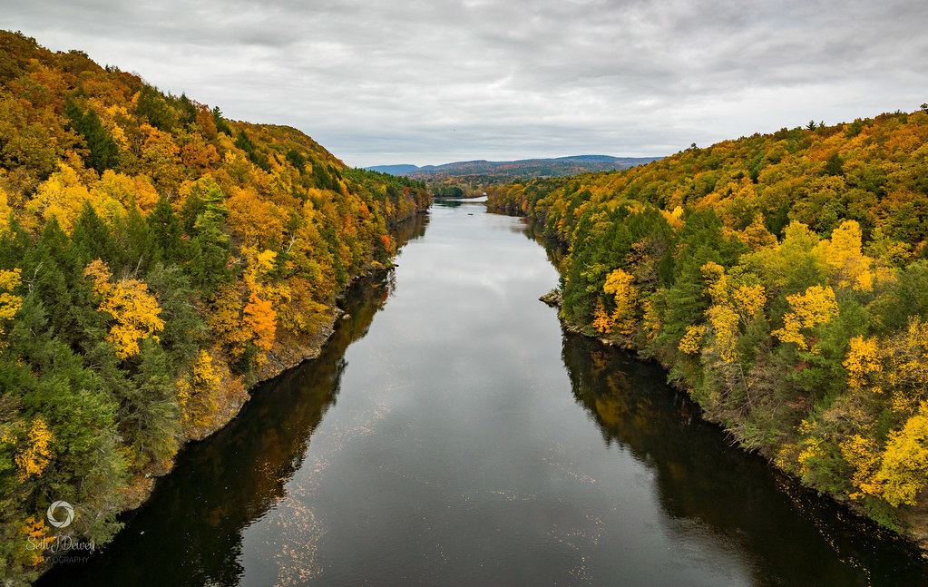
Panoramic Autumn Foliage Scenery viewed from French King Bridge
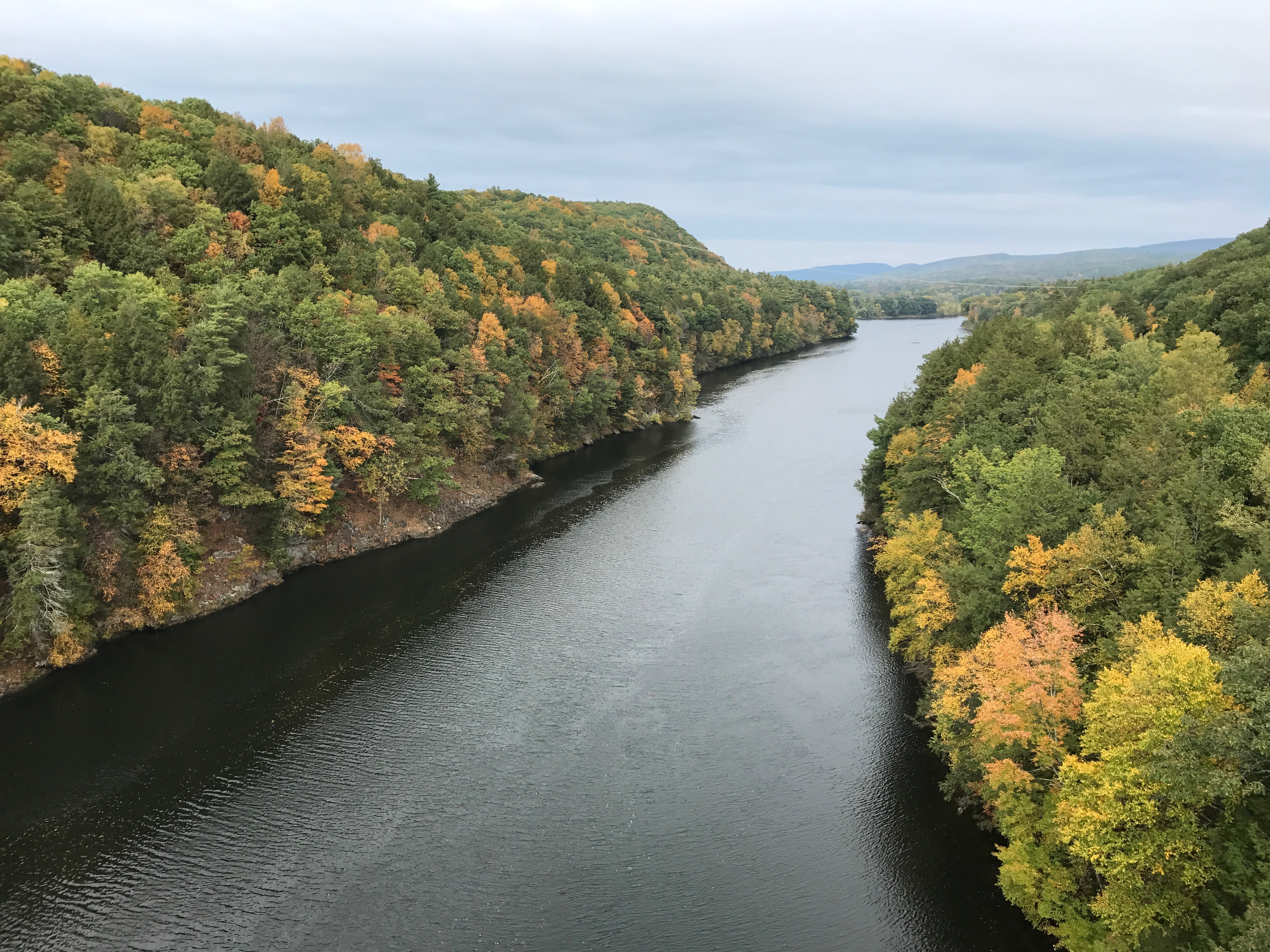
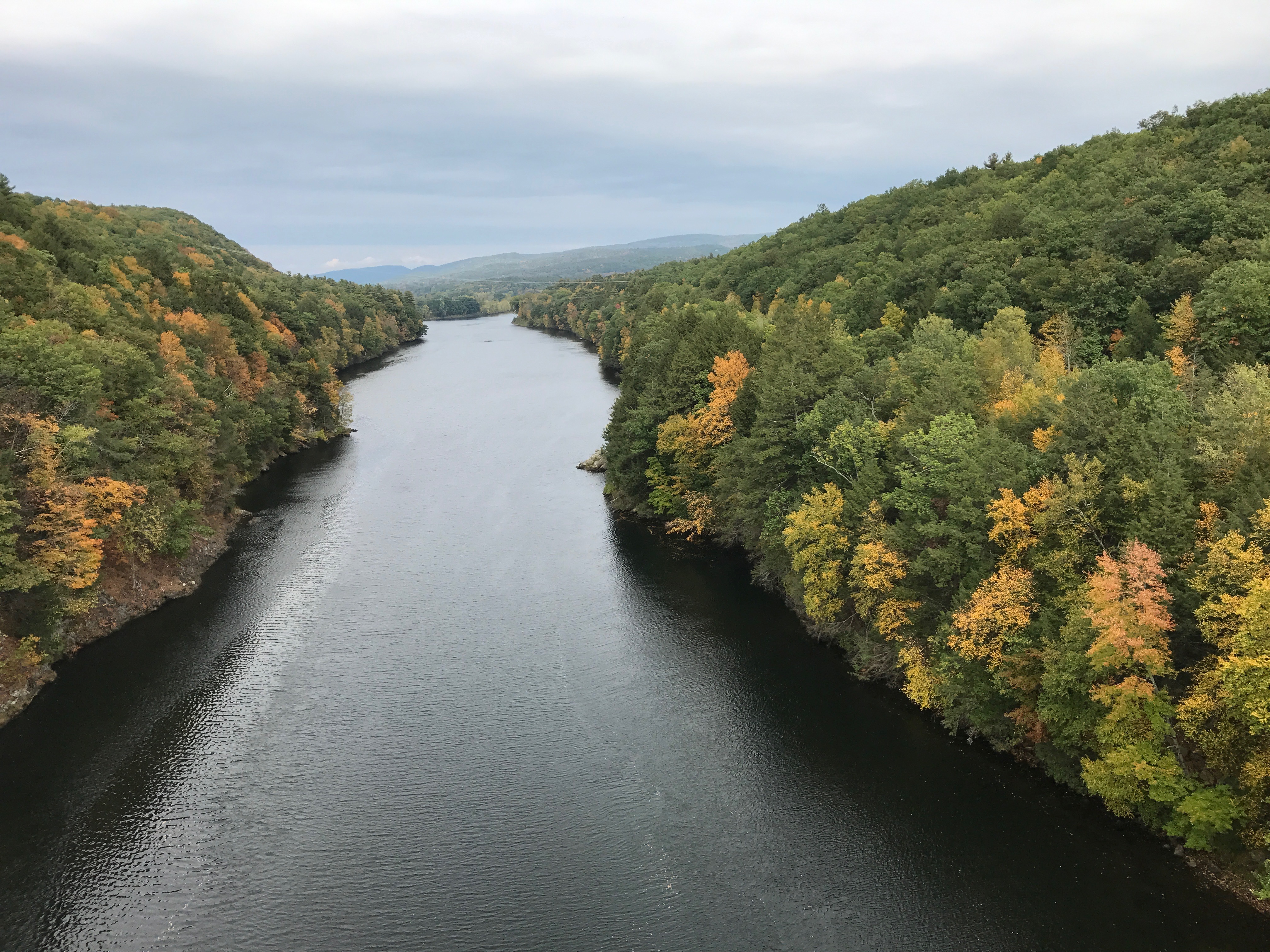
Connecticut River
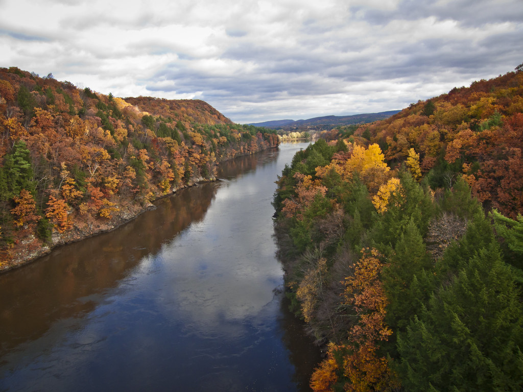
Autumn Foliage Scenery viewed from French King Bridge

Brattleboro Backyards
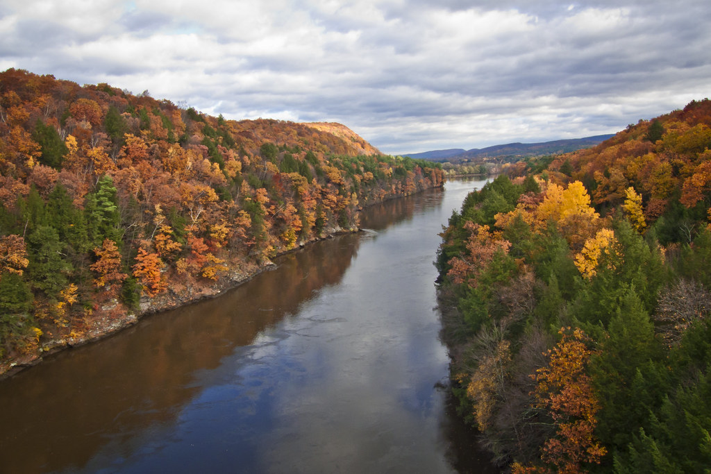
Autumn Foliage Scenery viewed from French King Bridge
CT River View

Brattleboro railroad bridge

Gill, view from the French King Bridge

Brattleboro ducks

On the Connecticut River

Brattleboro Sunset...

Madame Sherri's Castle Ruins

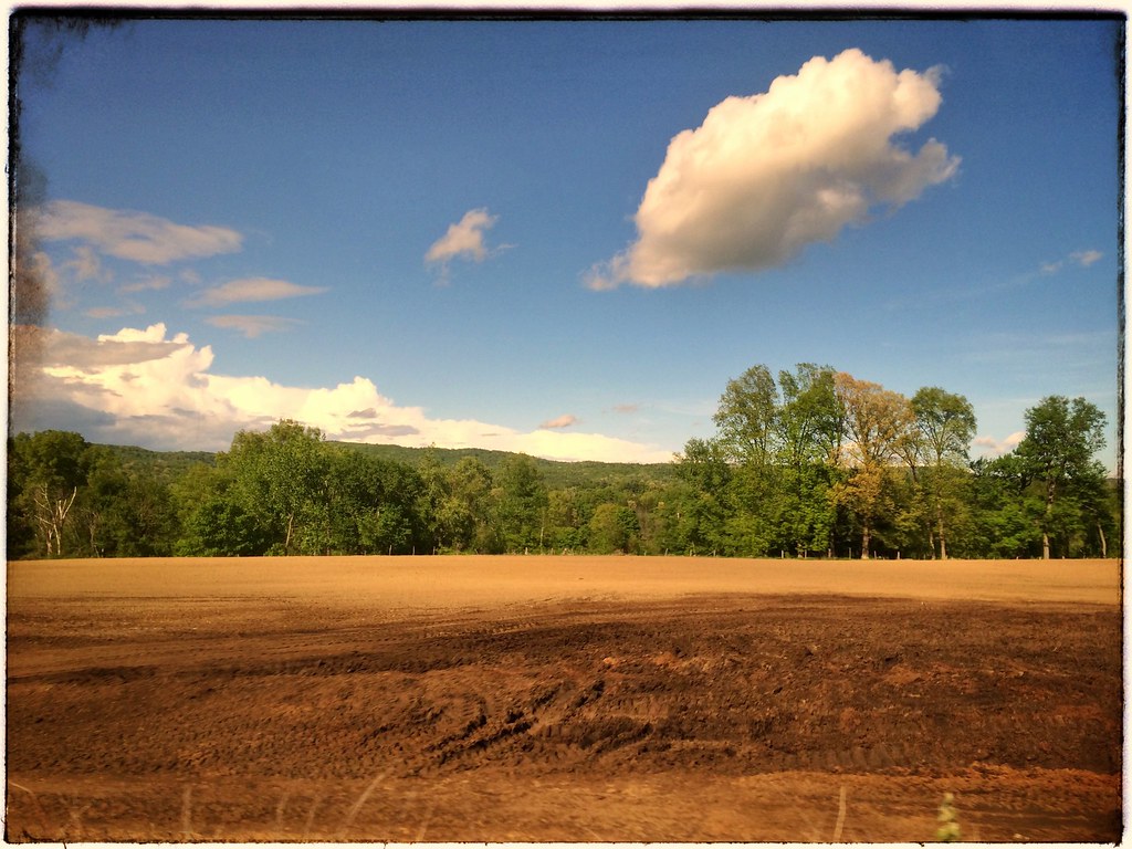
Fall 2017
Fall 2017
24 May 2014
Fall 2017
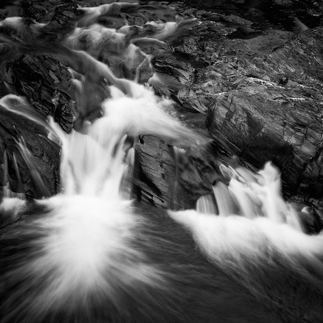
Monochromatic flow. #vermont #waterfall #waterflow #getolympus taken with the e-m10, 1 second exposure

French King Bridge, View

Railroad Bridge

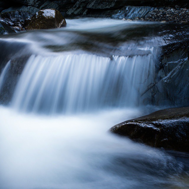
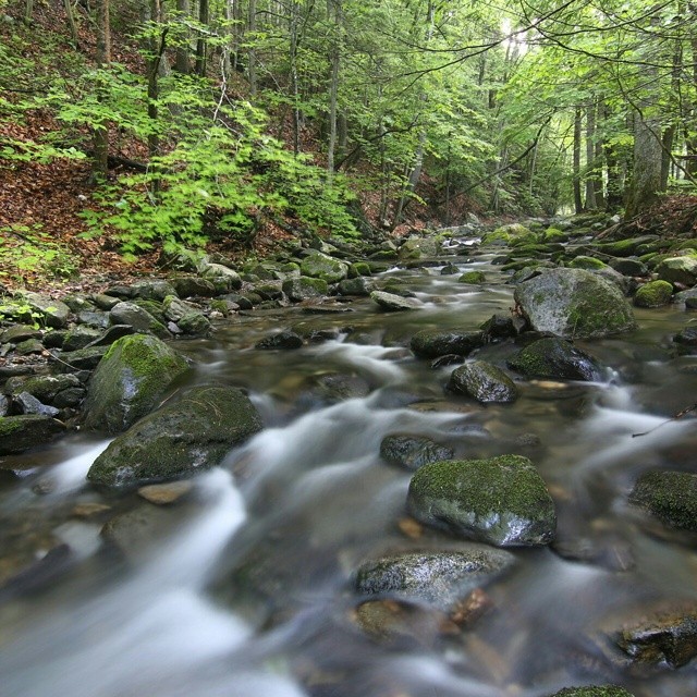
Trailside Cascade
Powered the revolution. #sonya7r with #metabones adapter and #sigma50art 2 second exposure and edited in #Nik
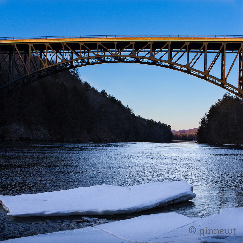
French King Bridge & an Ice Flow

Amazing Autumn
Pisgah trailhead

Broad Brook

The West River at Brattleboro
Colour on the Connecticut
Straight out of the camera #70D #tokina 11-16 @f/7.1 10seconds #longexposure #waterflow
Topographic Map of Basin Rd, Vernon, VT, USA
Find elevation by address:

Places near Basin Rd, Vernon, VT, USA:
834 W Rd
487 Pond Rd
48 Pine Ridge Rd
Vernon
Brattleboro Rd, Bernardston, MA, USA
Vermont Yankee Nuclear Power Station
West Road
Fort Bridgman Rd, Vernon, VT, USA
75 Cushing Lot Rd
Hinsdale
5 Keets Brook Rd
41 Simon Keets Rd
Dodge Avenue
Guilford
174 Old Hinsdale Rd
188 Old Hinsdale Rd
38 Borkowski Rd
697 Sweet Pond Rd
Lipton Mart (store#701)
89 Ashuelot Main St
Recent Searches:
- Elevation of Corso Fratelli Cairoli, 35, Macerata MC, Italy
- Elevation of Tallevast Rd, Sarasota, FL, USA
- Elevation of 4th St E, Sonoma, CA, USA
- Elevation of Black Hollow Rd, Pennsdale, PA, USA
- Elevation of Oakland Ave, Williamsport, PA, USA
- Elevation of Pedrógão Grande, Portugal
- Elevation of Klee Dr, Martinsburg, WV, USA
- Elevation of Via Roma, Pieranica CR, Italy
- Elevation of Tavkvetili Mountain, Georgia
- Elevation of Hartfords Bluff Cir, Mt Pleasant, SC, USA