Elevation of 41 Simon Keets Rd, Leyden, MA, USA

Location: United States > Massachusetts > Franklin County > Leyden >

Longitude: -72.614420

Latitude: 42.7222271

Elevation: 227m / 745feet

Barometric Pressure: 99KPa

Elevation Map:

elevation map of 41 Simon Keets Rd, Leyden, MA, USA

Satellite Map:

Satellite map of 41 Simon Keets Rd, Leyden, MA, USA

Related Photos:

galleryinthewoods vermont brattleboro art gallery cool newengland colorful
Art of Vermont
winter urban mill abandoned water canal massachusetts urbandecay newengland industriallandscape turnersfalls montague
Abandoned Mill - 2
mohawktrail colorphoto outdoor outdoors attraction roadsideattraction roadsideamerica tradingpost building architecture parkinglot nativeviewstradingpost newengland shelburnemassachusetts shelburne rte2 route2 indian americanindian souvenirs gifts indiancrafts moccasins statue indianstatue nativeamerican thebigindian landmark iconiclandmark spear bigindian bigindianshop massachusetts sky tree trees giftshop
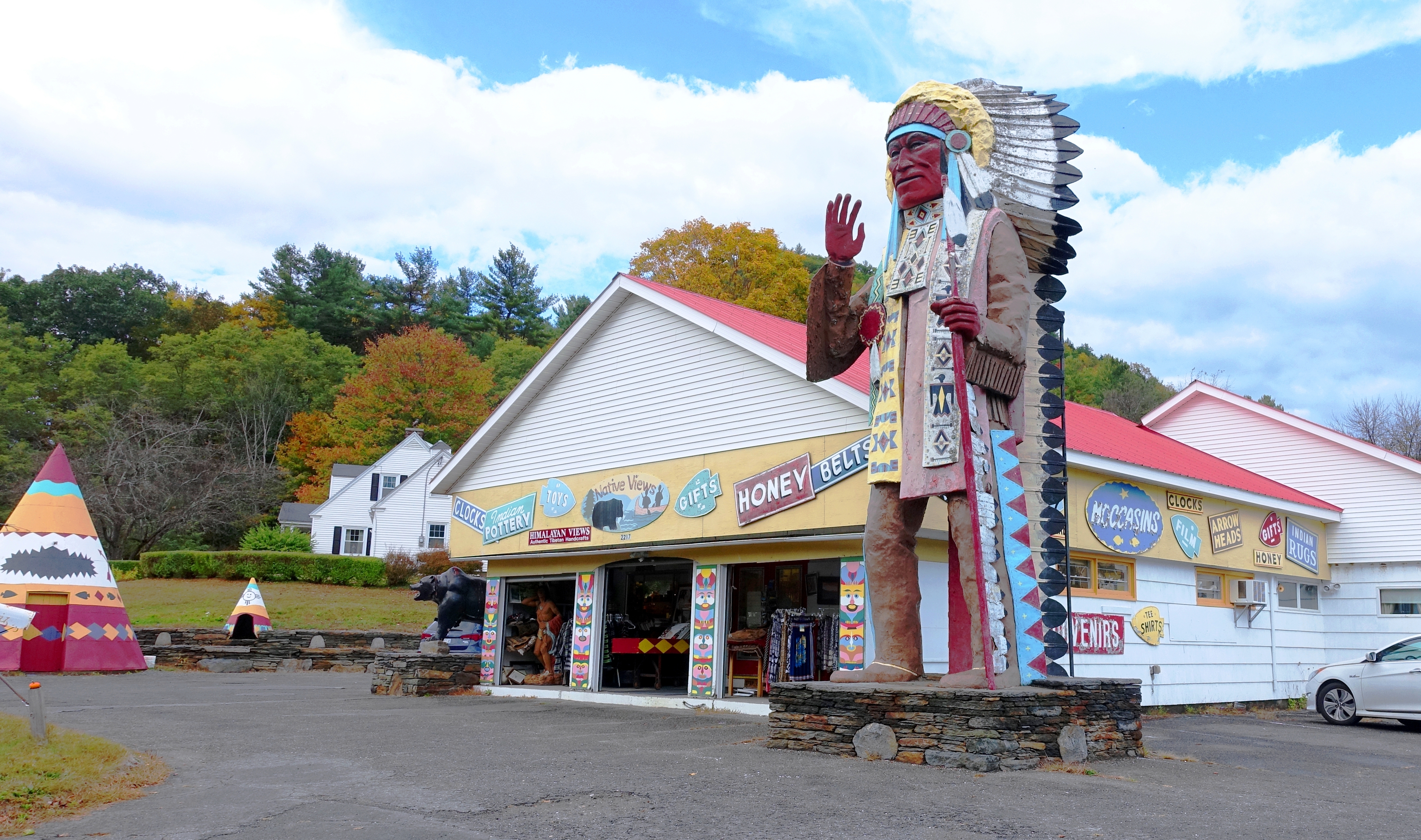
Native Views Trading Post on the Mohawk Trail in Shelburne Falls, Massachusetts
winter duck vermont brattleboro vt whetstonebrook
Brattleboro ducks
Brattleboro, VT.
galleryinthewoods vermont brattleboro art gallery cool newengland colorful
Art of Vermont
galleryinthewoods vermont brattleboro art gallery cool newengland colorful
Art of Vermont
downtown vermont distorted bricks newengland books brattleboro vt cartersliverpills
Brattleboro, VT.
massachusetts greenfield greenfieldmassachusetts
Wooden Facade
mohawktrail ma massachusetts souvenirs
Native Views store
buildings backyard structures vt brattleborovermont olympuse510 professorbop harmonyparking
Brattleboro Backyards
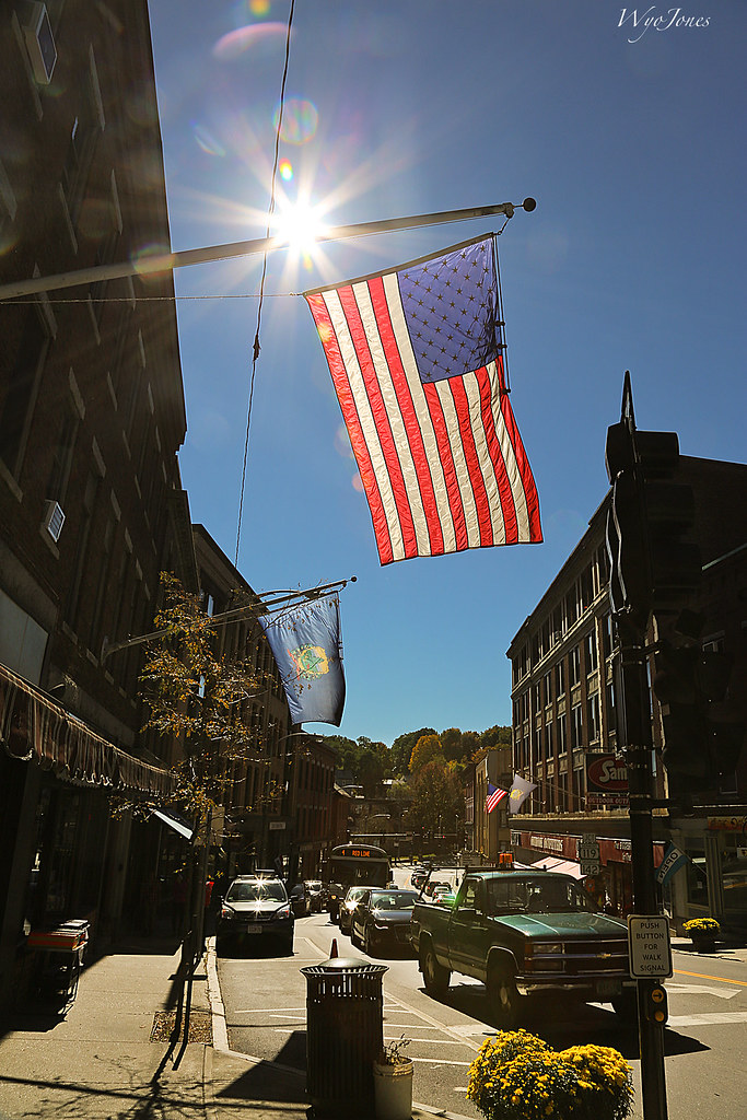
sun bus cars buildings downtown vermont view flag pickup sidewalk backlit np intothesun sunflares wyojones brattleboromainstreet
Flag on Main Street
summer water smiling river fun happy warm weekend greenriver splash serendipity playful spontaneous splashing gemmifer
summer weekend
creamerybridge bridge coveredbridge brattleboro vermont whetstonebrook park rain
The Creamery Bridge
film massachusetts newengland roadsideattraction greenfield smalltown fujisuperiaxtra400 plasticlens c41 westernma vivitarultrawideandslim vivitarultrawidelens22mm
Long View Tower
street urban night olympuse300 vt brattleborovermont professorbop
Brattleboro Night
square squareformat iphoneography instagramapp uploaded:by=instagram foursquare:venue=4ff4b4ece4b048eef6bfd5e8
Dinner view #perfectevening #LGG4
bridge usa river ma flood massachusetts newengland greenriver coveredbridge greenfield hurricaneirene eunicewilliamsbridge charleskellogg eunicewilliams charlesgkellogg charliekellogg greenriverpumpingstation copyright2011
View from East Side to Hurricane Damaged Eunice Williams Covered Bridge
family sport wrestling competition match handshake wrestler athletes versus halfbrother opponents andrewkimball
winning hand
bridge usa river ma flood massachusetts newengland greenriver coveredbridge greenfield hurricaneirene eunicewilliamsbridge charleskellogg eunicewilliams charlesgkellogg charliekellogg greenriverpumpingstation copyright2011
View from East Side to Hurricane Damaged Eunice Williams Covered Bridge
bridge usa river ma flood massachusetts newengland greenriver coveredbridge greenfield hurricaneirene eunicewilliamsbridge charleskellogg eunicewilliams charlesgkellogg charliekellogg greenriverpumpingstation copyright2011
View from East Side to Hurricane Damaged Eunice Williams Covered Bridge
rockdam uploaded:by=flickrmobile flickriosapp:filter=nofilter
Rock Dam
vermont brattleboro brattleborovt newengland foliage autumn fall colors roadtrip travel bridge newhampshire bridgestbridge bridgest hinsdalenh hinsdale connecticutriver canon 24105l infrared infraredlandscape 7d canon7d
Brattleboro IR_20191014_093
winter mill water canal massachusetts newengland industriallandscape turnersfalls montague
Building Art
winter mill water canal massachusetts newengland industriallandscape turnersfalls montague
Hydro Canal
winter urban mill abandoned massachusetts urbandecay newengland industriallandscape turnersfalls montague
Abandoned Mill
summer unitedstates massachusetts highschool nmh fieldbiology 2014 summersession mounthermon northfieldmounthermon nmhschool middleschoolprogram
2014 NMH Summer Session
bridge usa river ma flood massachusetts newengland greenriver coveredbridge greenfield hurricaneirene eunicewilliamsbridge charleskellogg eunicewilliams charlesgkellogg charliekellogg greenriverpumpingstation copyright2011
View Upriver from West Side to Hurricane Damaged Eunice Williams Covered Bridge
bridge usa river ma flood massachusetts newengland greenriver coveredbridge greenfield hurricaneirene eunicewilliamsbridge charleskellogg eunicewilliams charlesgkellogg charliekellogg greenriverpumpingstation copyright2011
View Upriver from East Side to Hurricane Damaged Eunice Williams Covered Bridge
morning mist water fog river day iphone iphoneography uploaded:by=flickrmobile flickriosapp:filter=nofilter projectweathersubmission
Rainy day in Brattleboro
2017 clichésaturday river sky 1017 vacation hinsdale newhampshire unitedstates us
On the Connecticut River
The Wall
waterfall colrain mountain rt112 canal
Waterfall and side canal
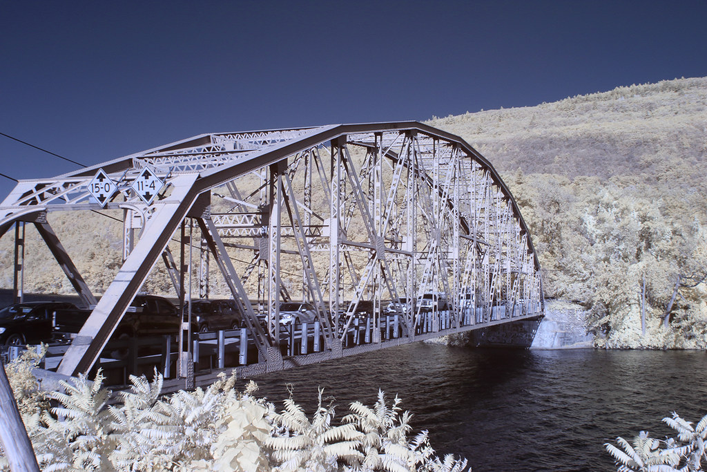
railroad bridge autumn trees fall nature colors leaves rural river landscape colorful massachusetts country seasonal fallfoliage uploaded:by=instagram
Railroad Bridge
square squareformat iphoneography instagramapp uploaded:by=instagram
Experiment with #flowingwater and #hdr #70D
The Vermonter at Bernardston
ngc npc
Where West Meets East
square squareformat iphoneography instagramapp uploaded:by=instagram
Monochromatic flow. #vermont #waterfall #waterflow #getolympus taken with the e-m10, 1 second exposure
square squareformat iphoneography instagramapp uploaded:by=instagram
Powered the revolution. #sonya7r with #metabones adapter and #sigma50art 2 second exposure and edited in #Nik
fall nh us usa autumn automne unitedstates newengland newhampshire landscape licensed exclusive getty
Fall in New Hampshire