Elevation of Pond Rd, Vernon, VT, USA
Location: United States > Vermont > Windham County > Vernon >
Longitude: -72.513248
Latitude: 42.751106
Elevation: 107m / 351feet
Barometric Pressure: 100KPa
Elevation Map:
Satellite Map:
Related Photos:

Brattleboro railroad bridge

Brattleboro ducks

Madame Sherri's Castle

Desk, April 2011

winning hand

Brattleboro Backyards
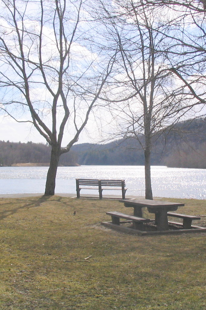
CT River View
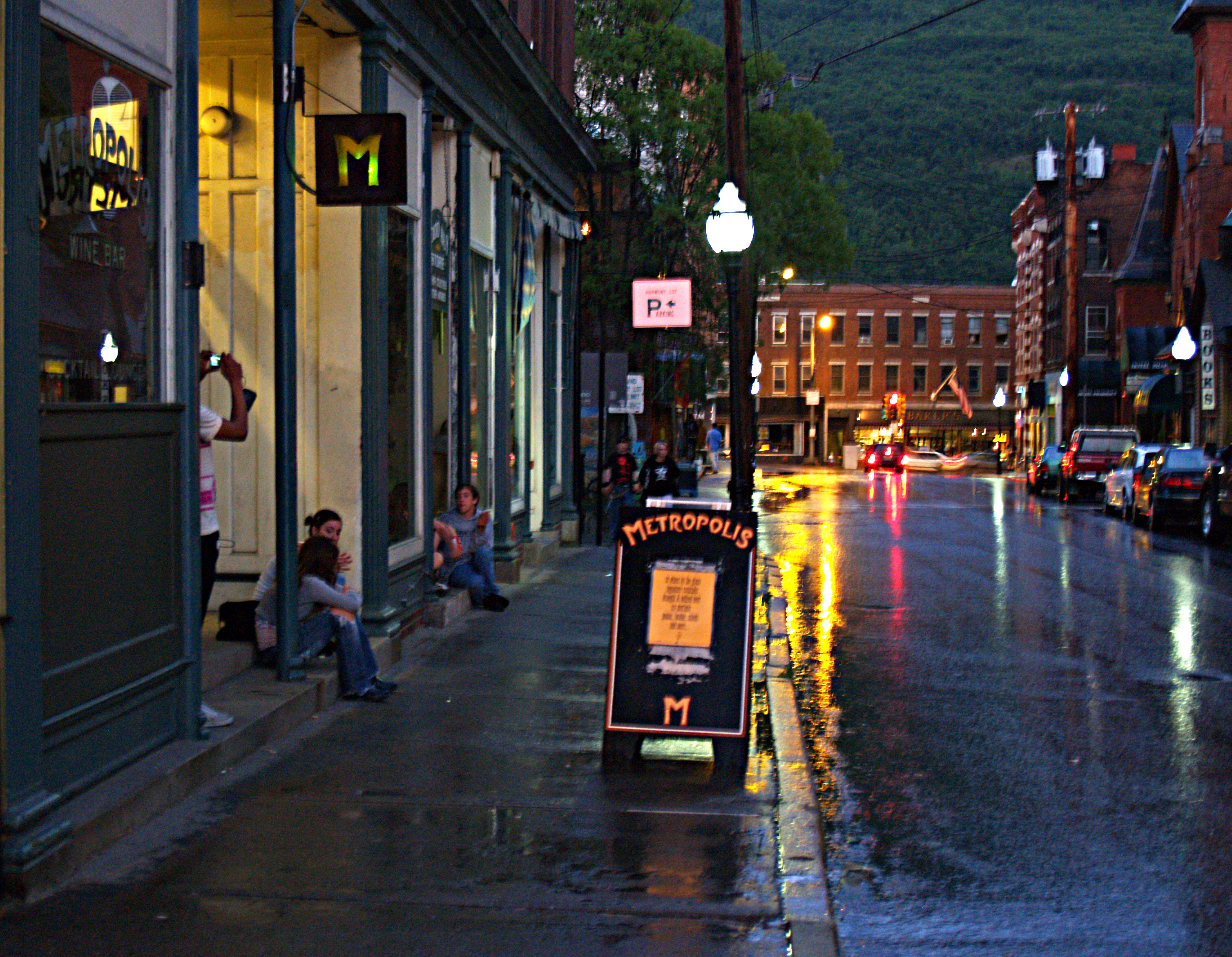
Brattleboro Night
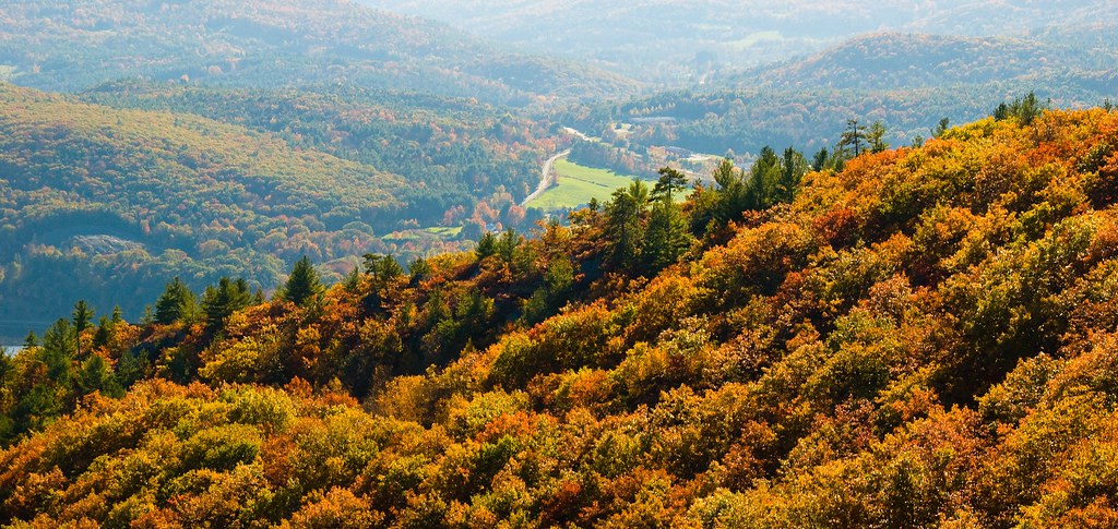
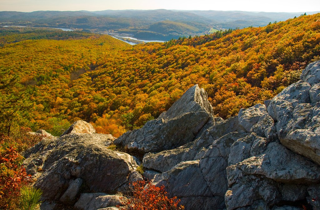
View West from Wantastiquet

A better view

Flag on Main Street
Long View
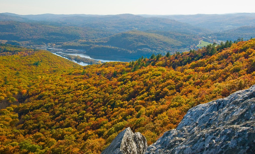
View West from Wantastiquet
View West from Wantastiquet

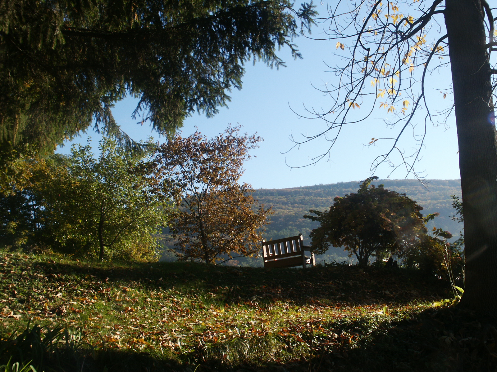
Room with a view

The Pin Cherry Cover Up
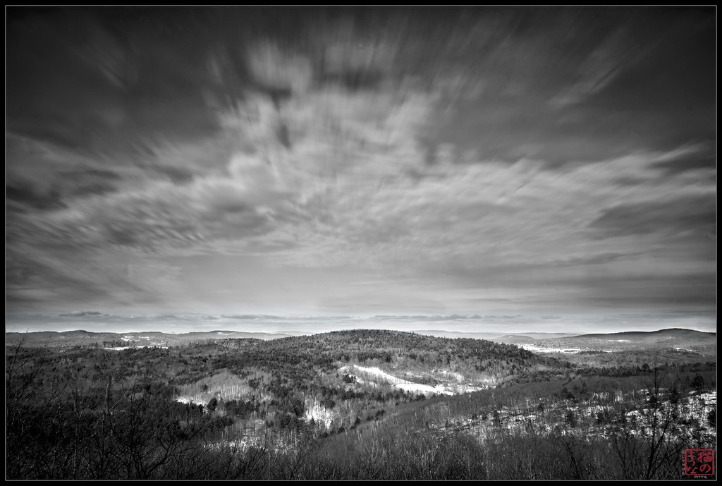
Brattleboro overlook
View East from Wantastiquet

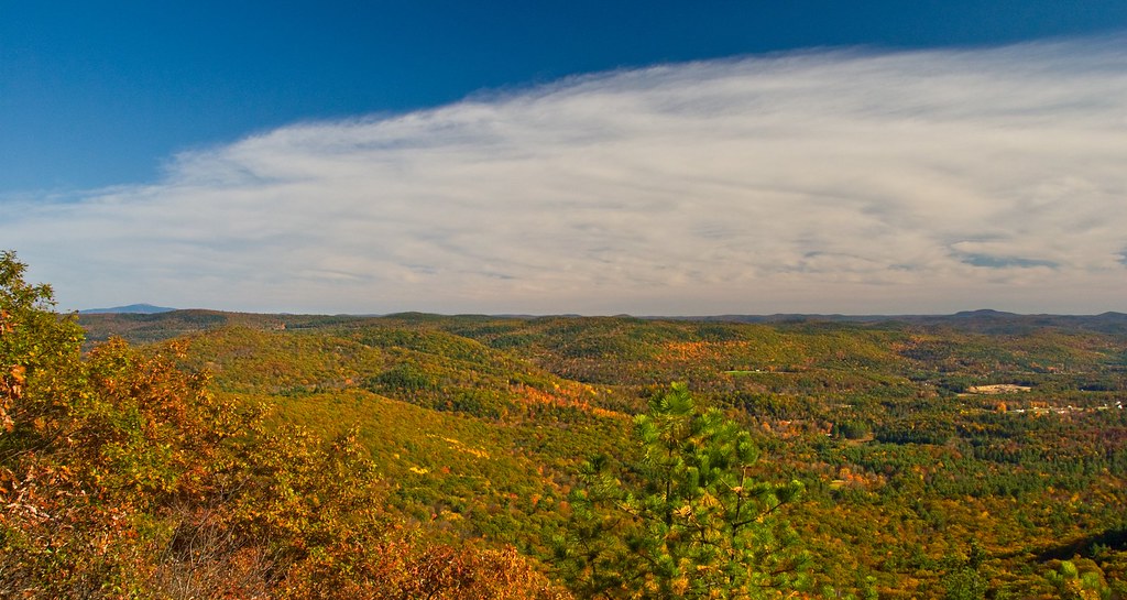
looking west

F 20121103_9517

View from Watastiquet
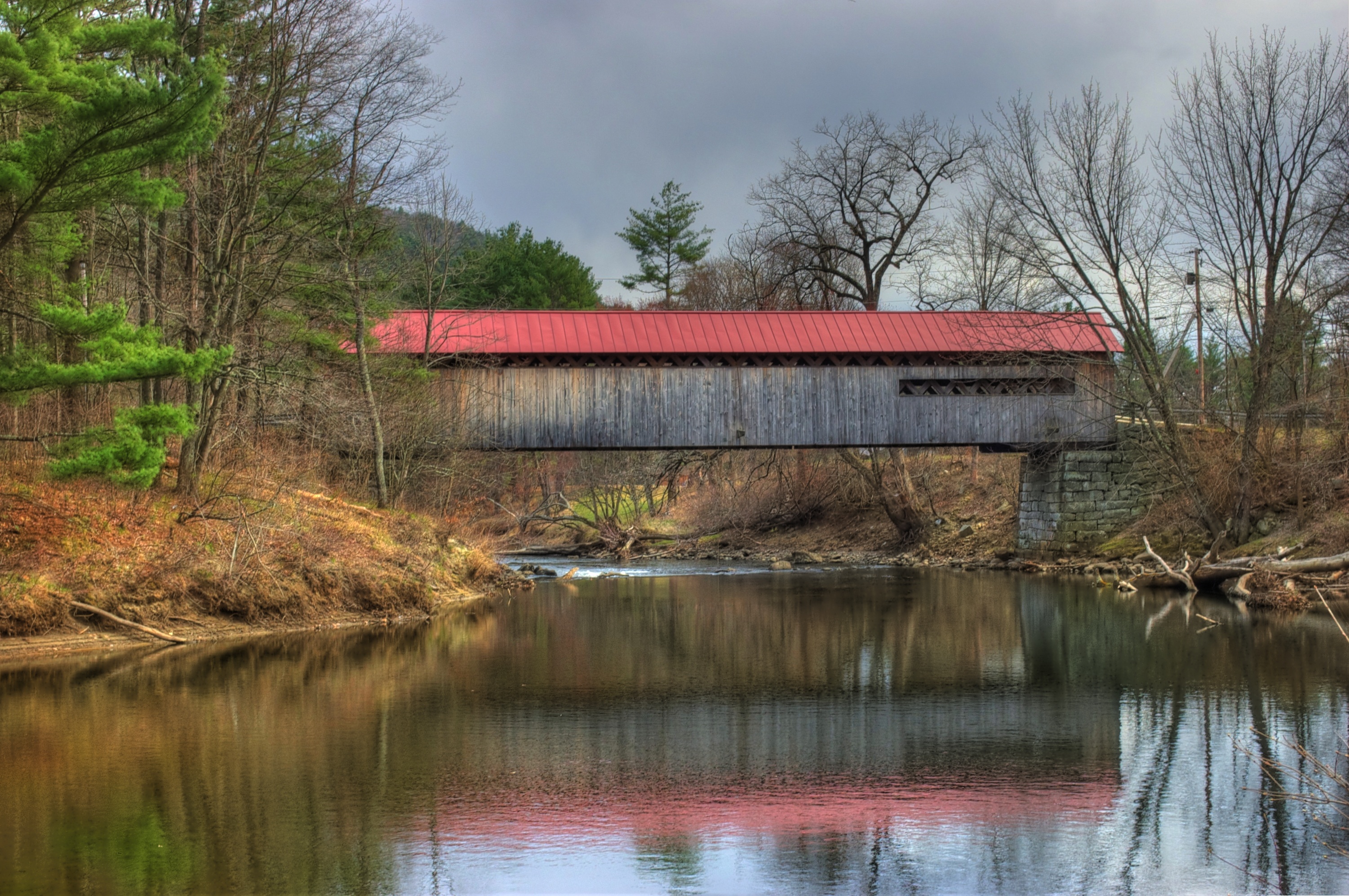
Coombs Covered Bridge
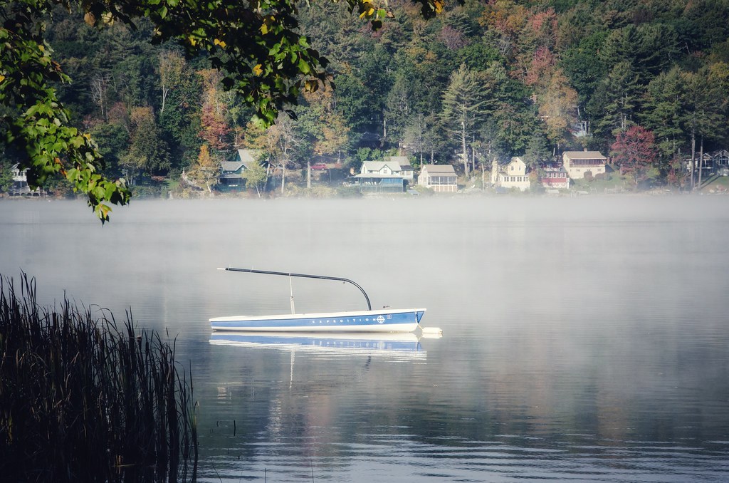
Foggy morning
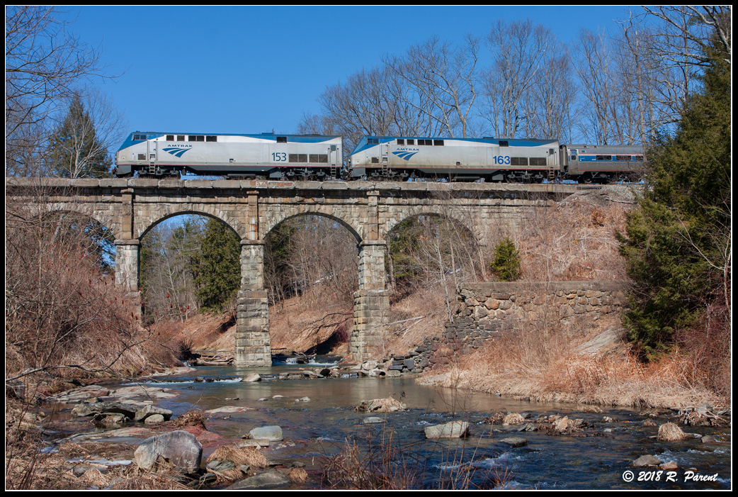
The Vermonter at Bernardston
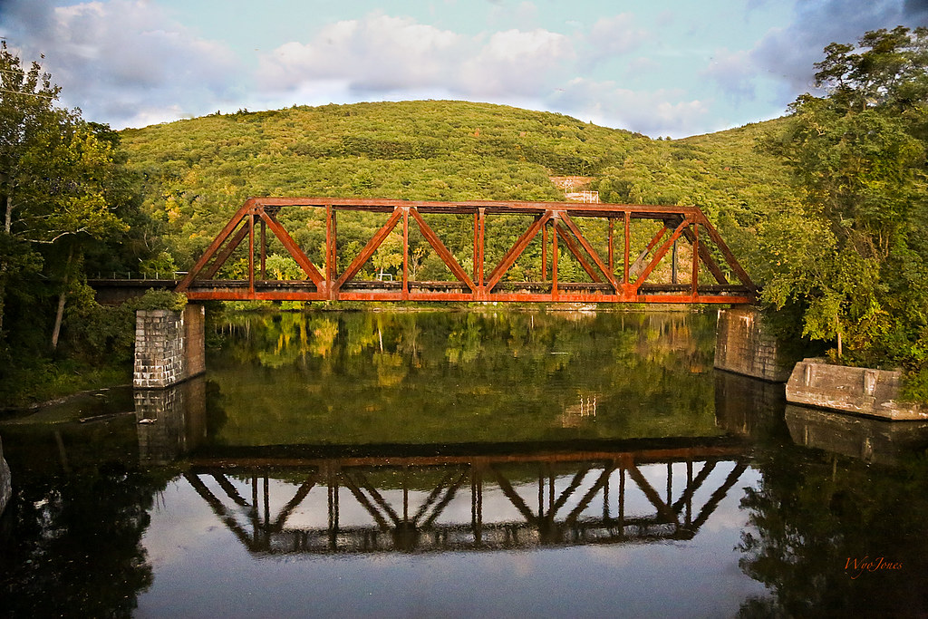
Railroad Bridge at Brattlesboro Vermont

Madame Sherri's Pond
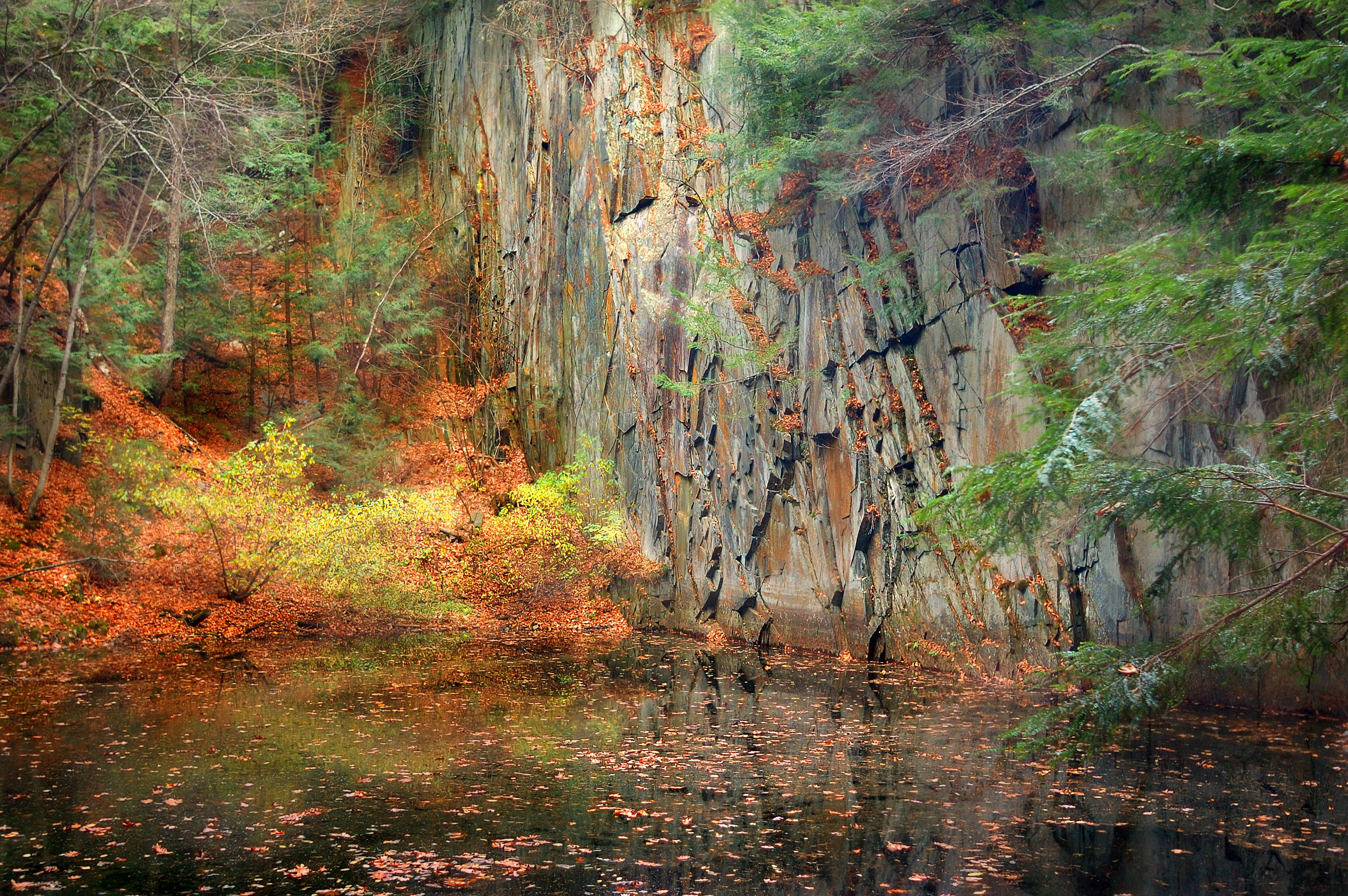
The Wall

On the Connecticut River

Brattleboro Sunset...

Madame Sherri's Castle Ruins
Roaring Brook - Winchester NH

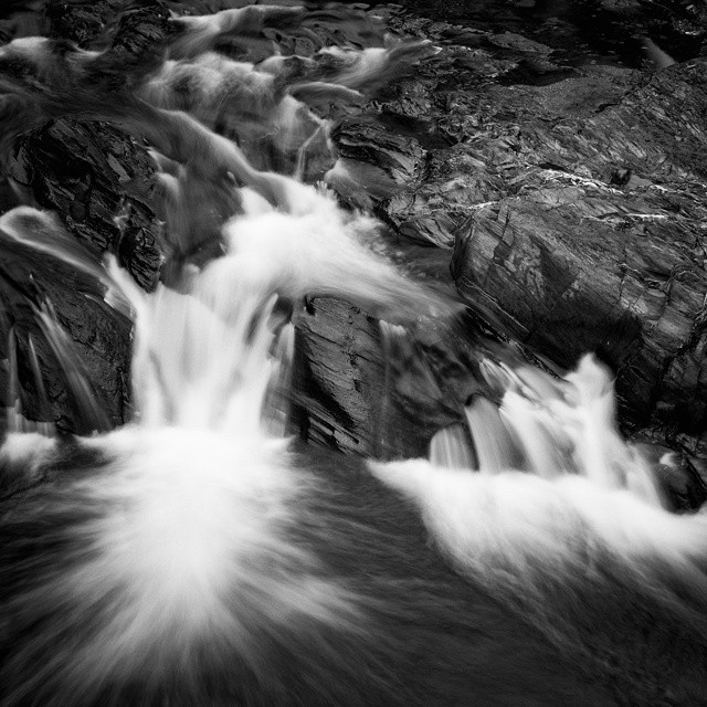
Trailside Cascade
Powered the revolution. #sonya7r with #metabones adapter and #sigma50art 2 second exposure and edited in #Nik

Madame Sherri Castle

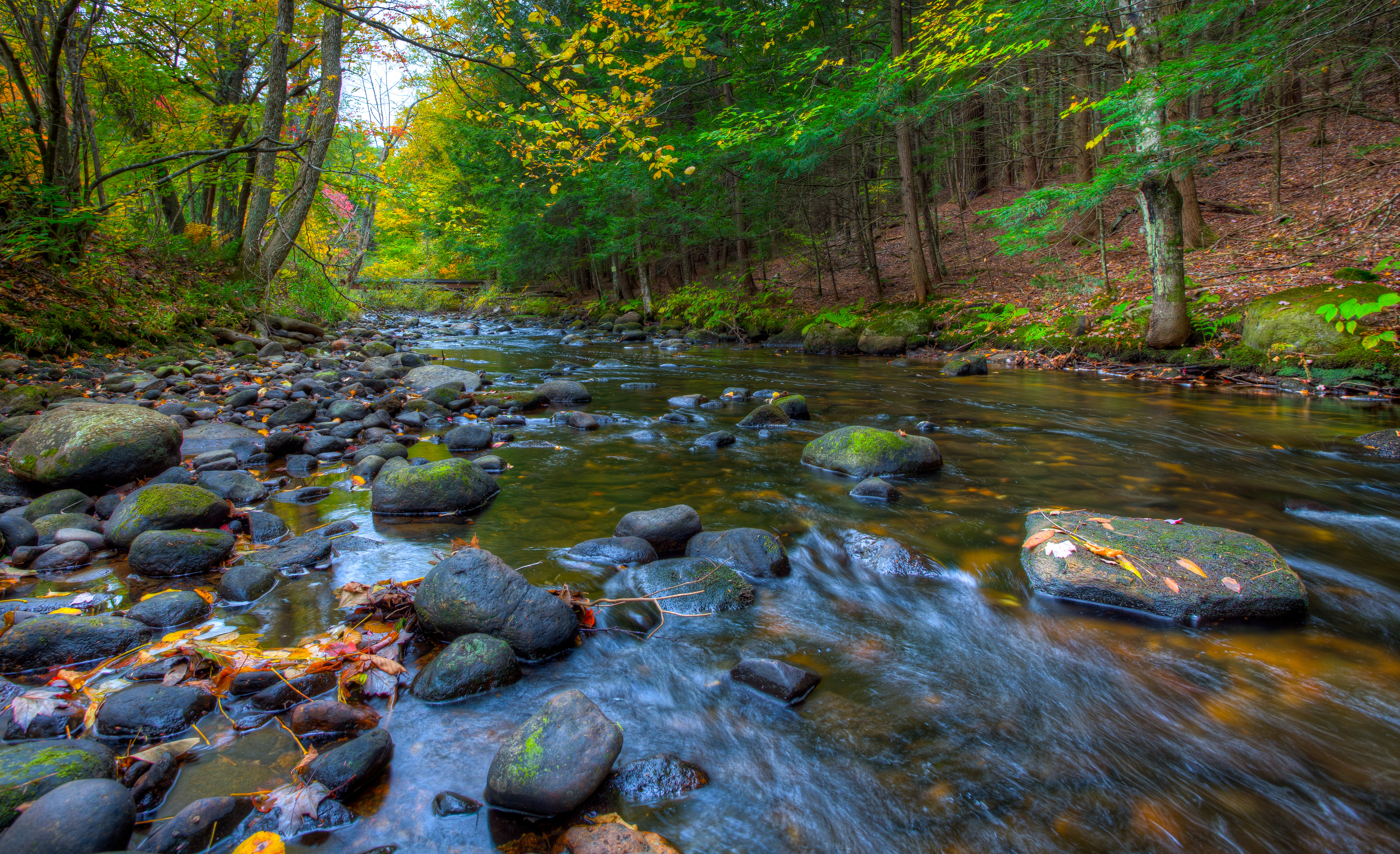
Broad Brook

The West River at Brattleboro
Where West Meets East
24 May 2014
Pisgah trailhead
Hydro Canal
Topographic Map of Pond Rd, Vernon, VT, USA
Find elevation by address:

Places near Pond Rd, Vernon, VT, USA:
48 Pine Ridge Rd
Vernon
Vermont Yankee Nuclear Power Station
195 Basin Rd
834 W Rd
Fort Bridgman Rd, Vernon, VT, USA
West Road
Hinsdale
75 Cushing Lot Rd
Brattleboro Rd, Bernardston, MA, USA
Dodge Avenue
174 Old Hinsdale Rd
188 Old Hinsdale Rd
89 Ashuelot Main St
Guilford
Ashuelot
5 Keets Brook Rd
Lipton Mart (store#701)
41 Simon Keets Rd
58 Canal St
Recent Searches:
- Elevation of Corso Fratelli Cairoli, 35, Macerata MC, Italy
- Elevation of Tallevast Rd, Sarasota, FL, USA
- Elevation of 4th St E, Sonoma, CA, USA
- Elevation of Black Hollow Rd, Pennsdale, PA, USA
- Elevation of Oakland Ave, Williamsport, PA, USA
- Elevation of Pedrógão Grande, Portugal
- Elevation of Klee Dr, Martinsburg, WV, USA
- Elevation of Via Roma, Pieranica CR, Italy
- Elevation of Tavkvetili Mountain, Georgia
- Elevation of Hartfords Bluff Cir, Mt Pleasant, SC, USA