Elevation of Jacksonville Stage Rd, West Halifax, VT, USA
Location: United States > Vermont > Windham County > Halifax > West Halifax >
Longitude: -72.721031
Latitude: 42.763832
Elevation: 522m / 1713feet
Barometric Pressure: 95KPa
Elevation Map:
Satellite Map:
Related Photos:
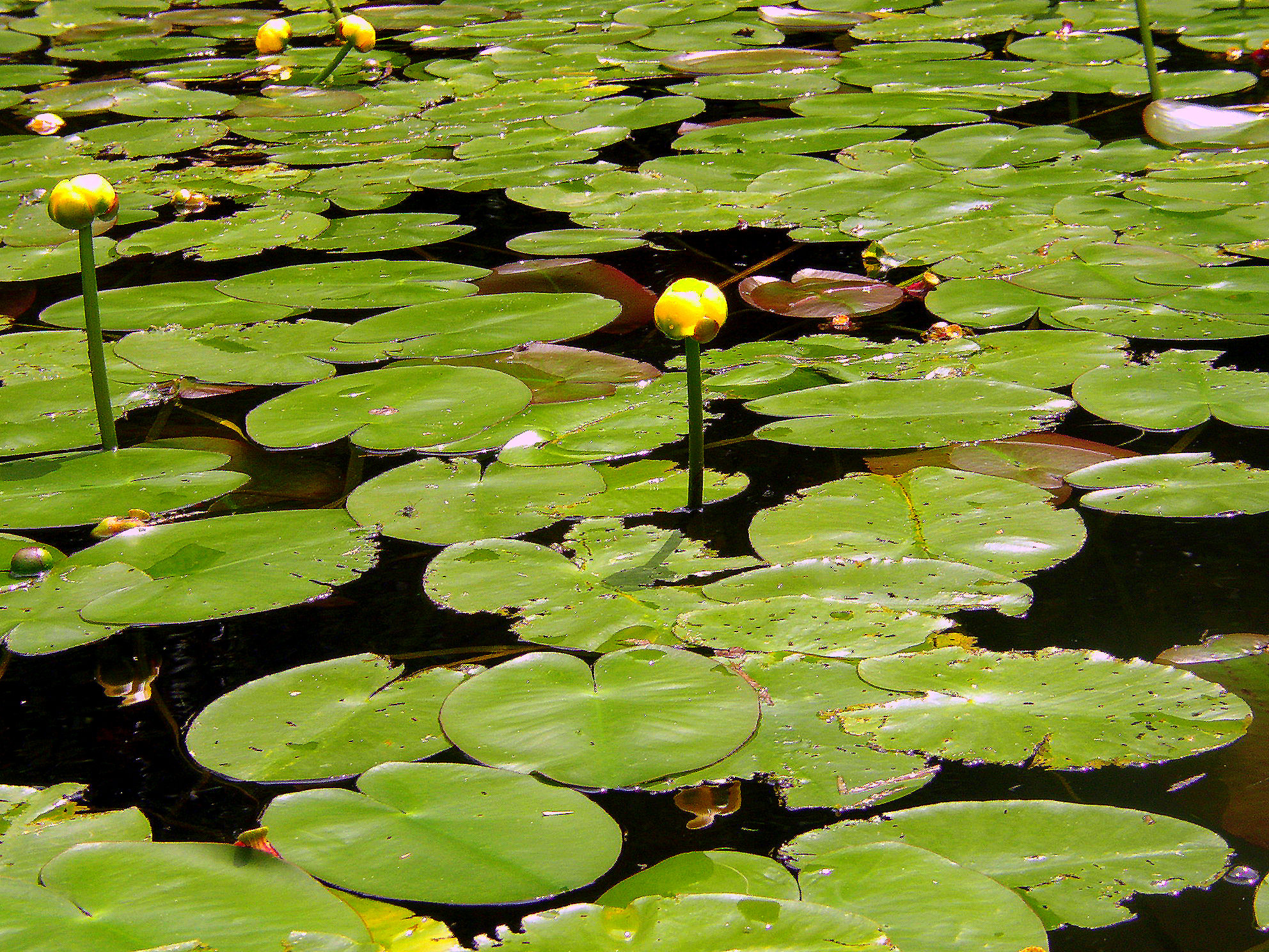
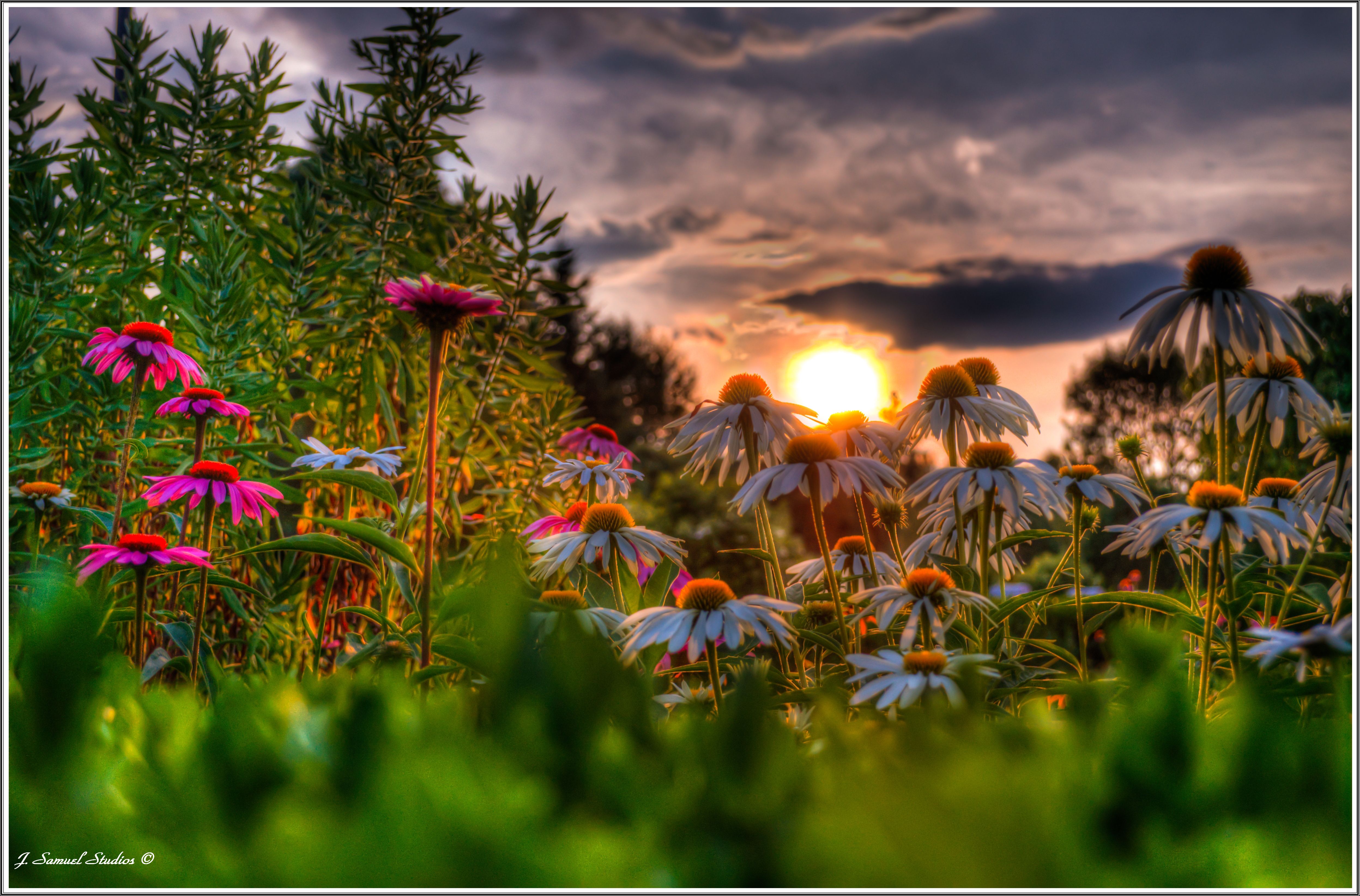
Water Lillies
A Place to Sit
In Search of a Cool Breeze

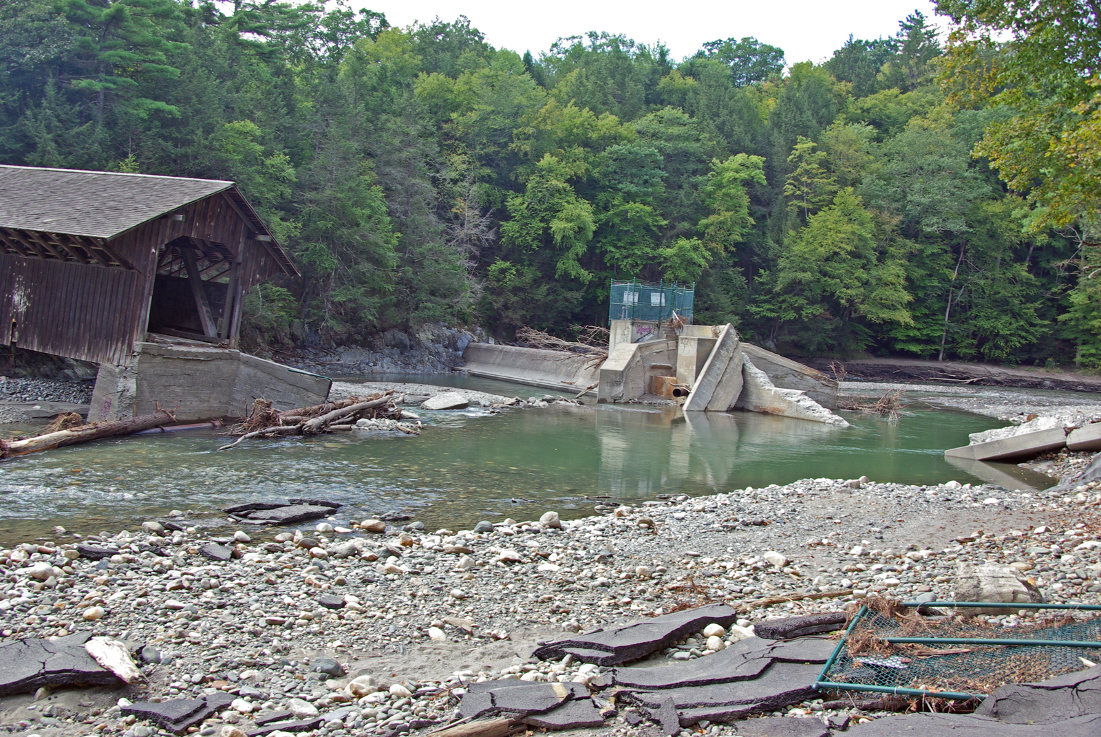
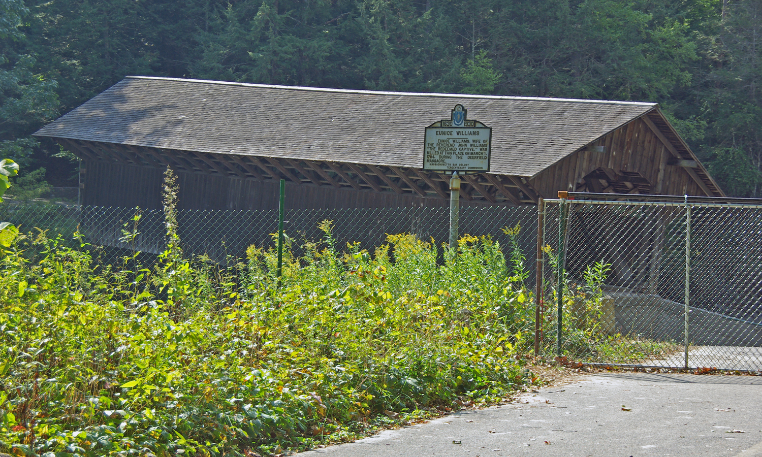
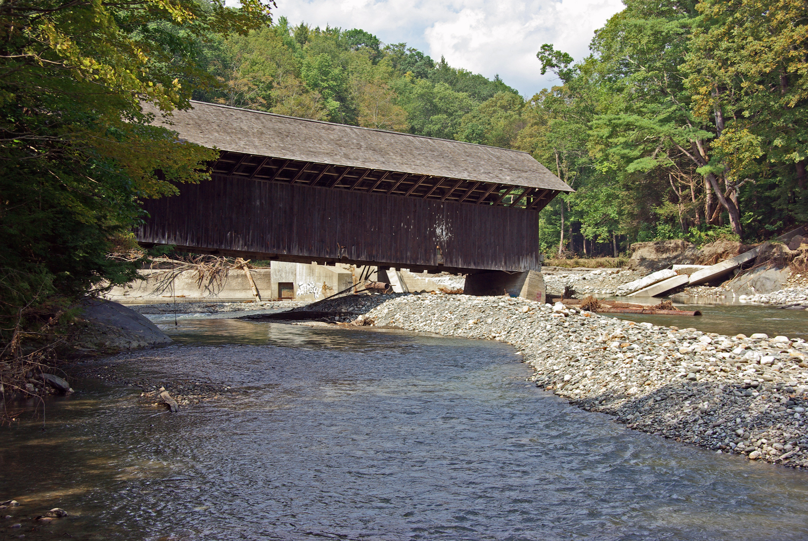
View through Bridge to East Portal to Hurricane Damaged Eunice Williams Covered Bridge
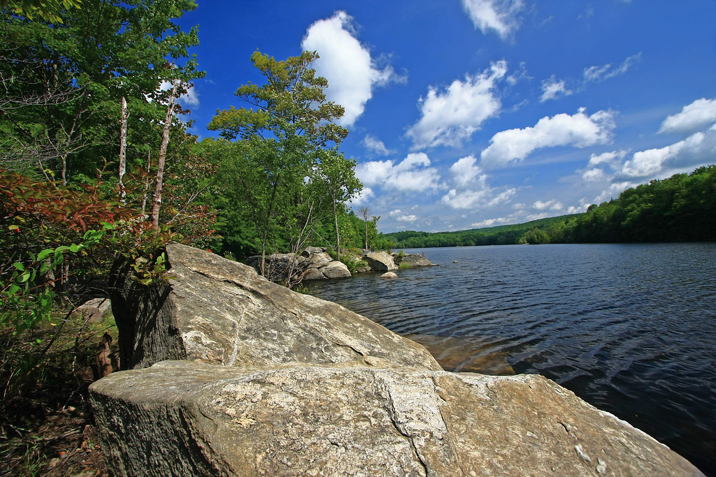
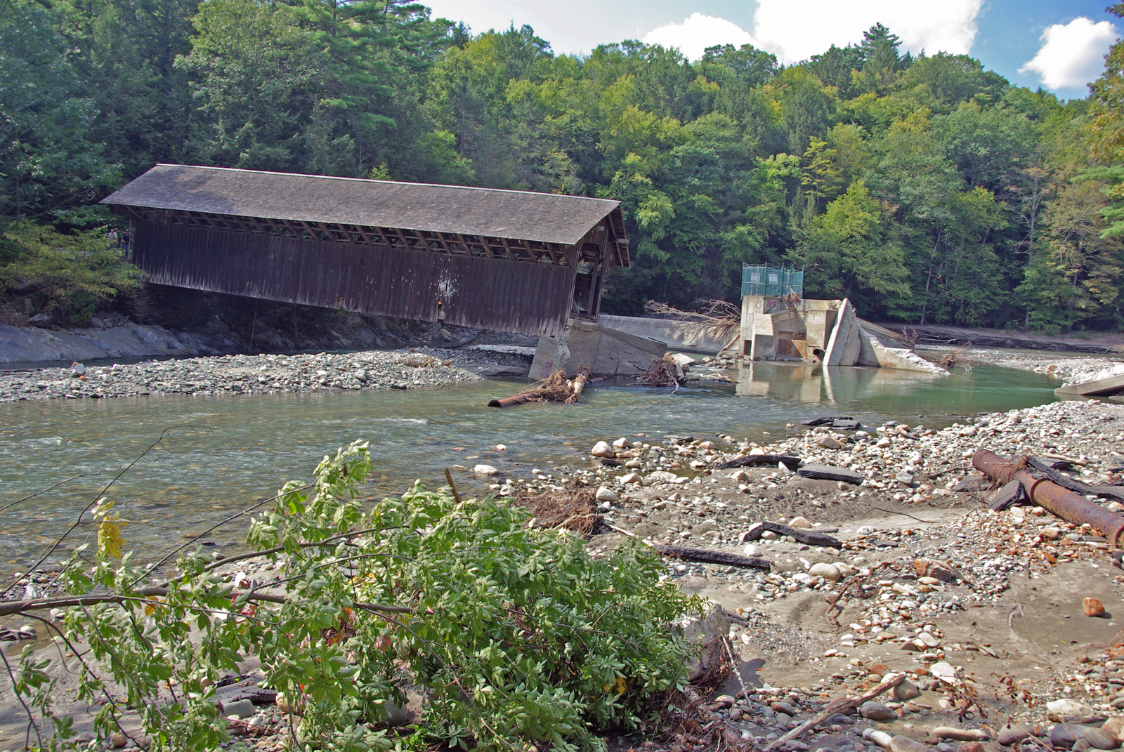
View from East Side to Hurricane Damaged Eunice Williams Covered Bridge
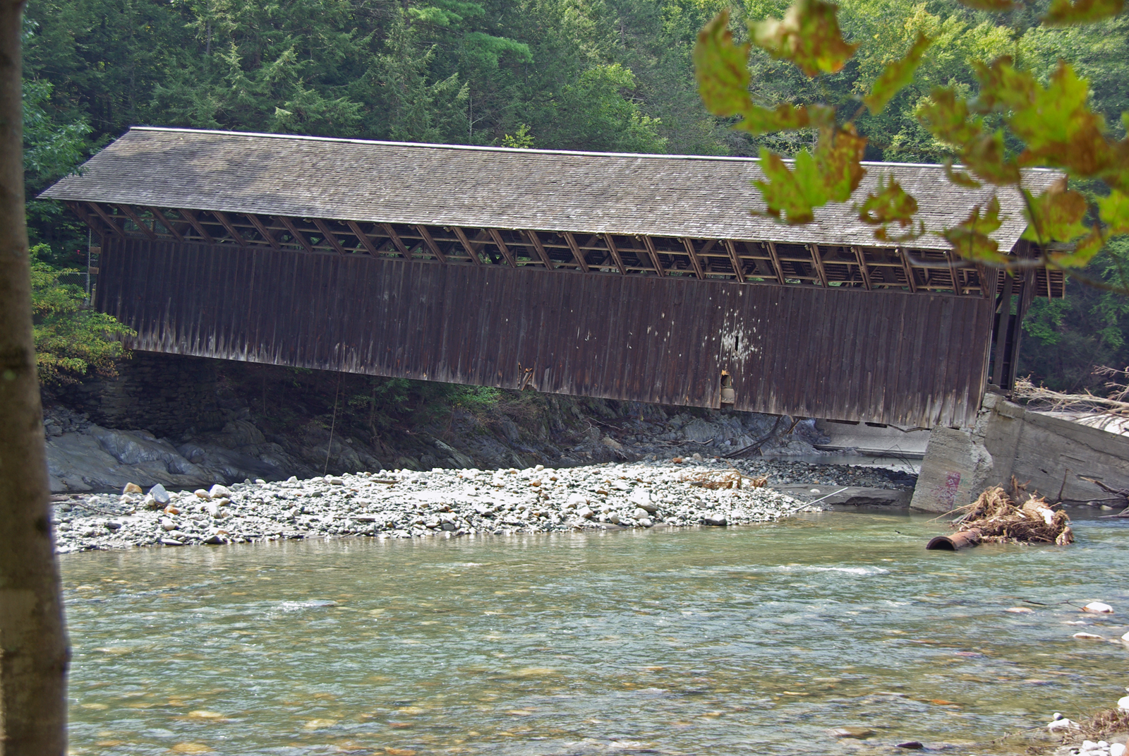
View from East Side to Hurricane Damaged Eunice Williams Covered Bridge
View from East Side to Hurricane Damaged Eunice Williams Covered Bridge
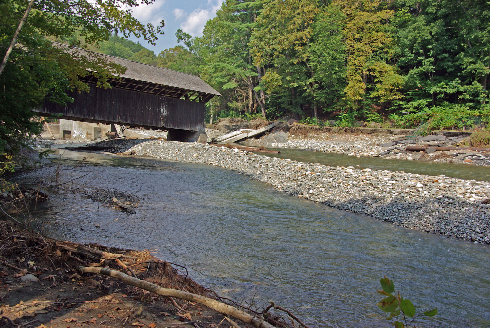
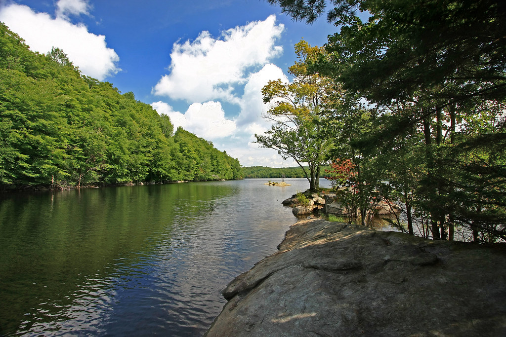
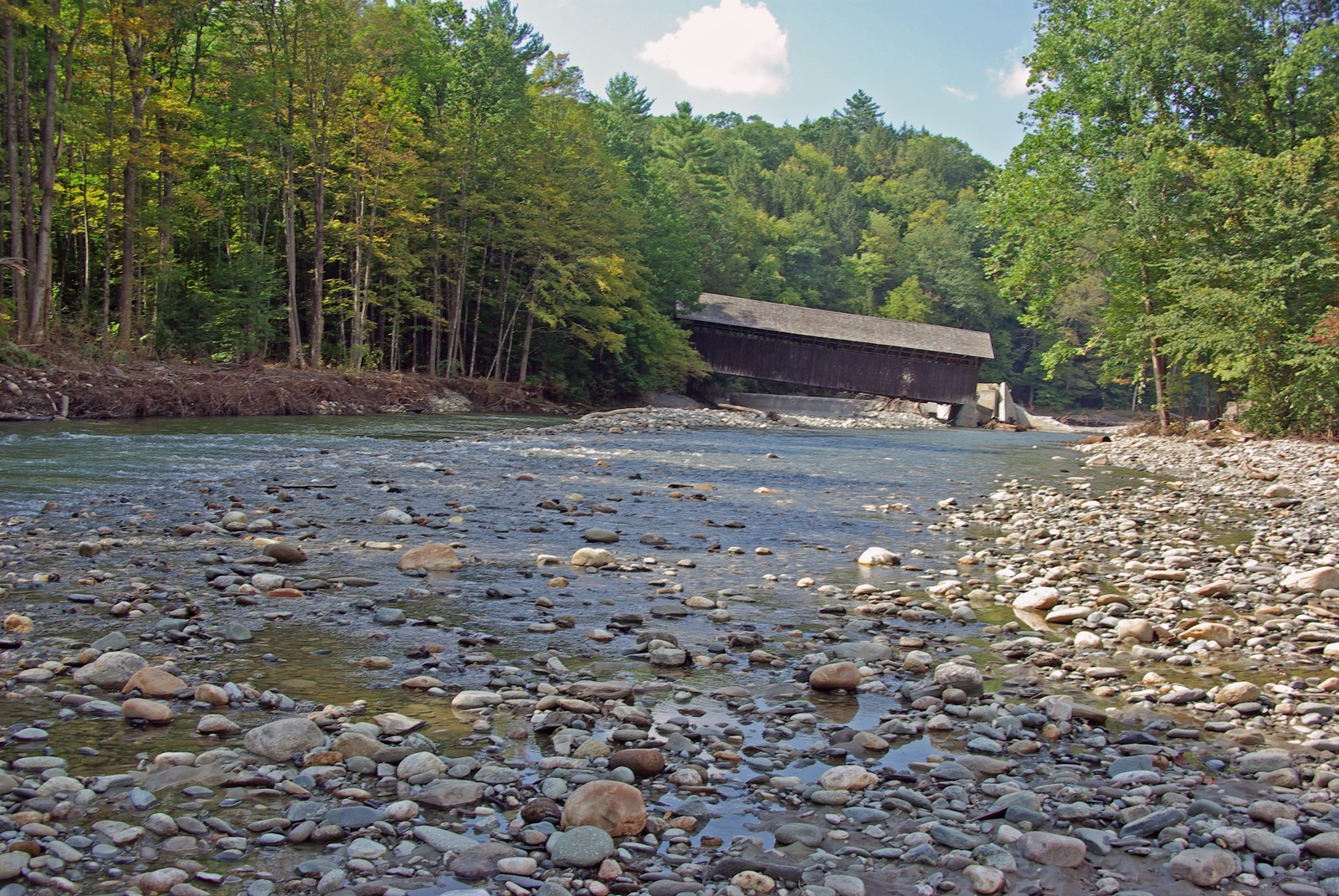
View Upriver from West Side to Hurricane Damaged Eunice Williams Covered Bridge

Desk, April 2011
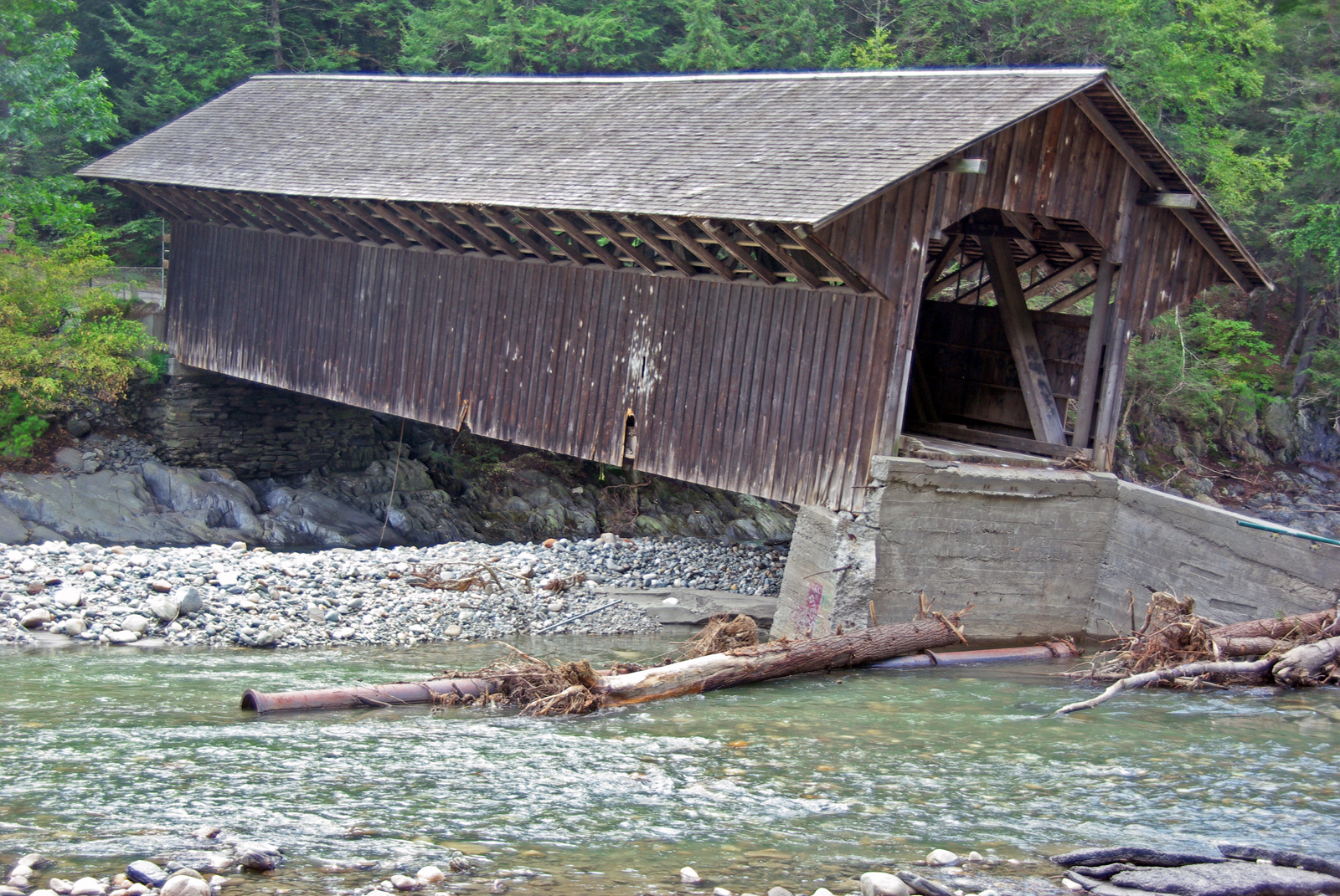
View from East Side to Hurricane Damaged Eunice Williams Covered Bridge
View Upriver from West Side to Hurricane Damaged Eunice Williams Covered Bridge
View 1
View from East Side to Hurricane Damaged Eunice Williams Covered Bridge
View Upriver from East Side to Hurricane Damaged Eunice Williams Covered Bridge
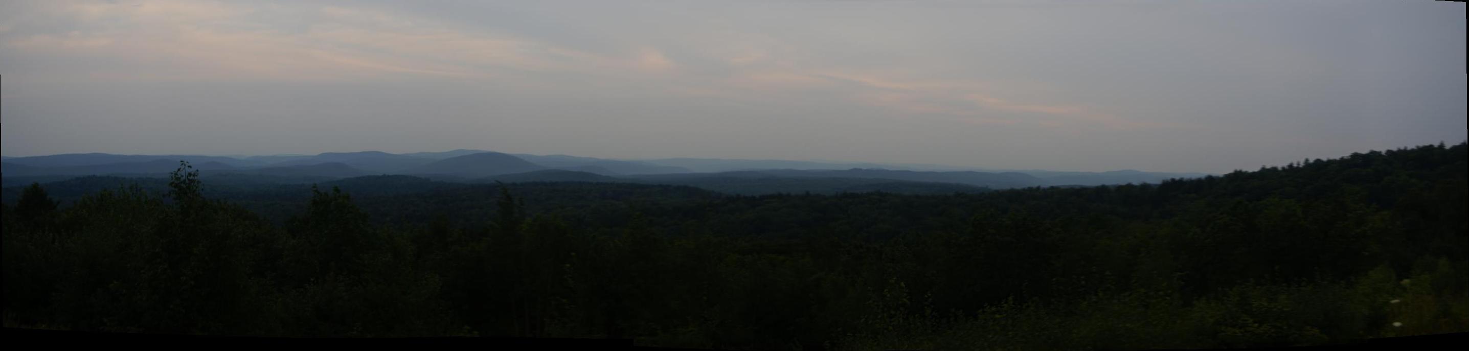
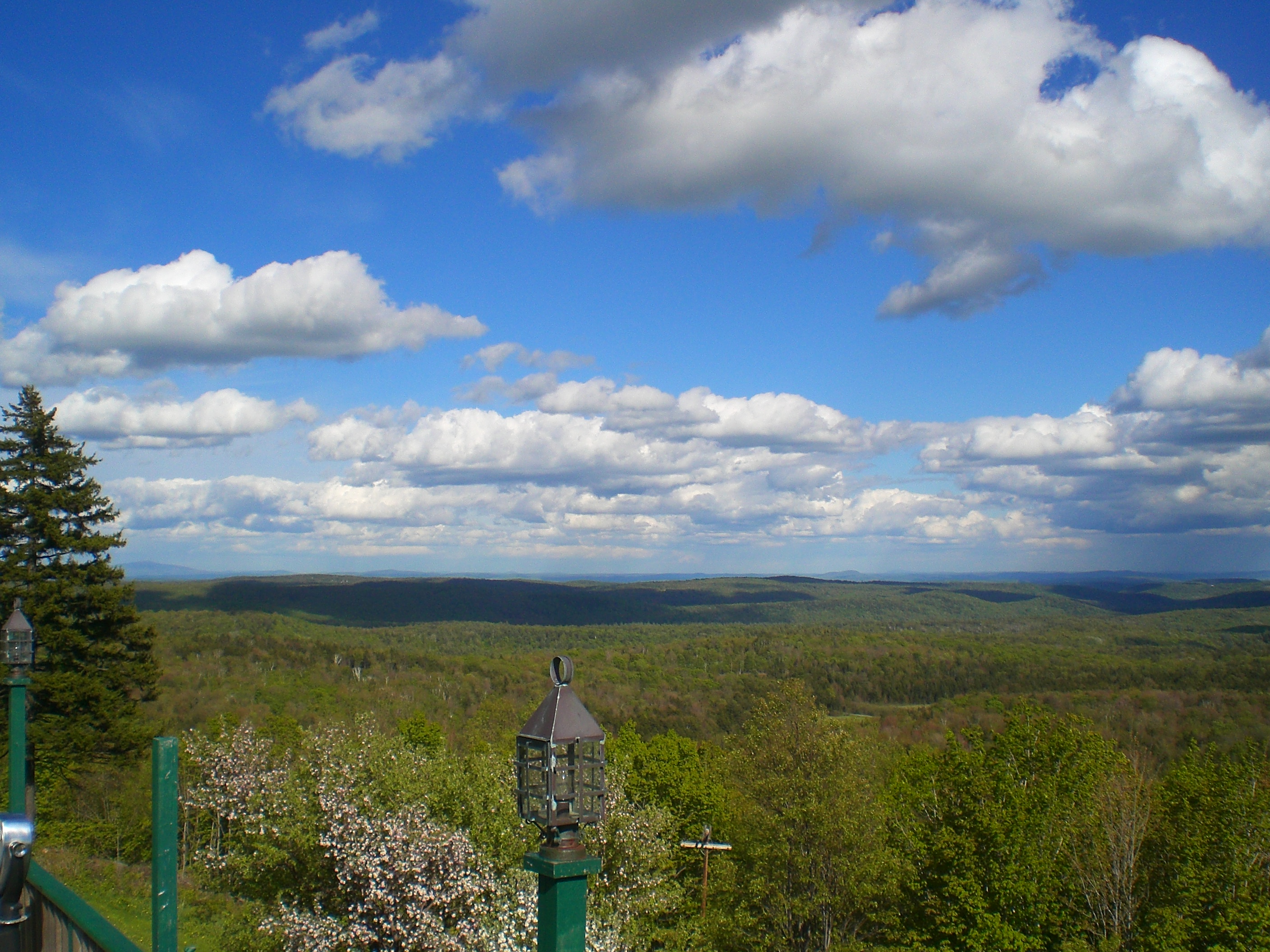
Vermont Mountains Panorama

summer weekend
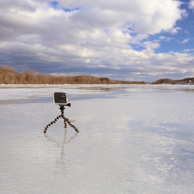
#gopro meet a gorgeous view. Road tripping with the fantastic #6D from the great folks at @lumoidit
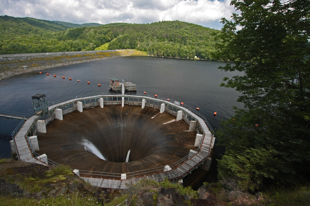
The Glory Hole ~ Harriman Reservoir
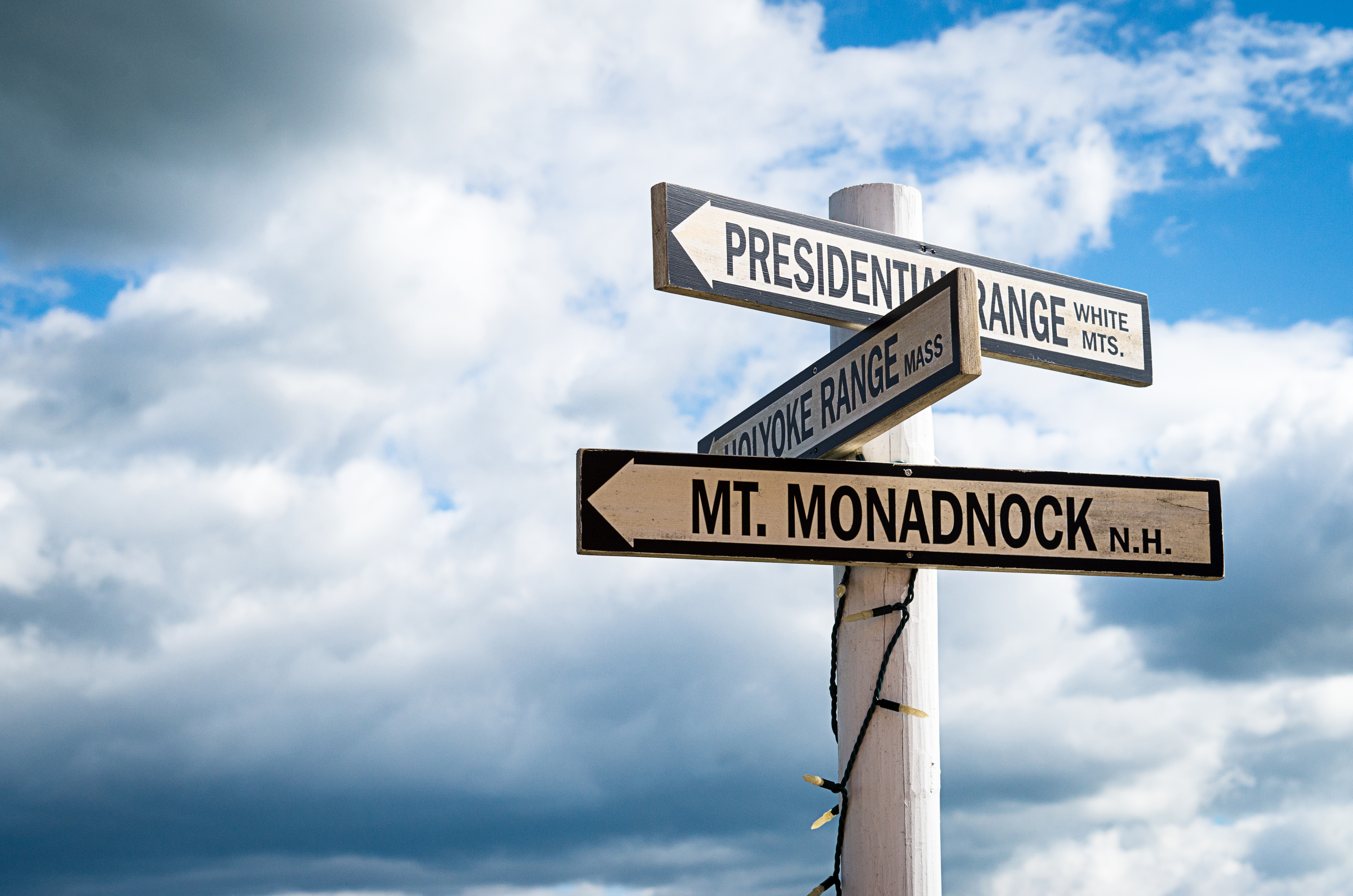
Which way to look?
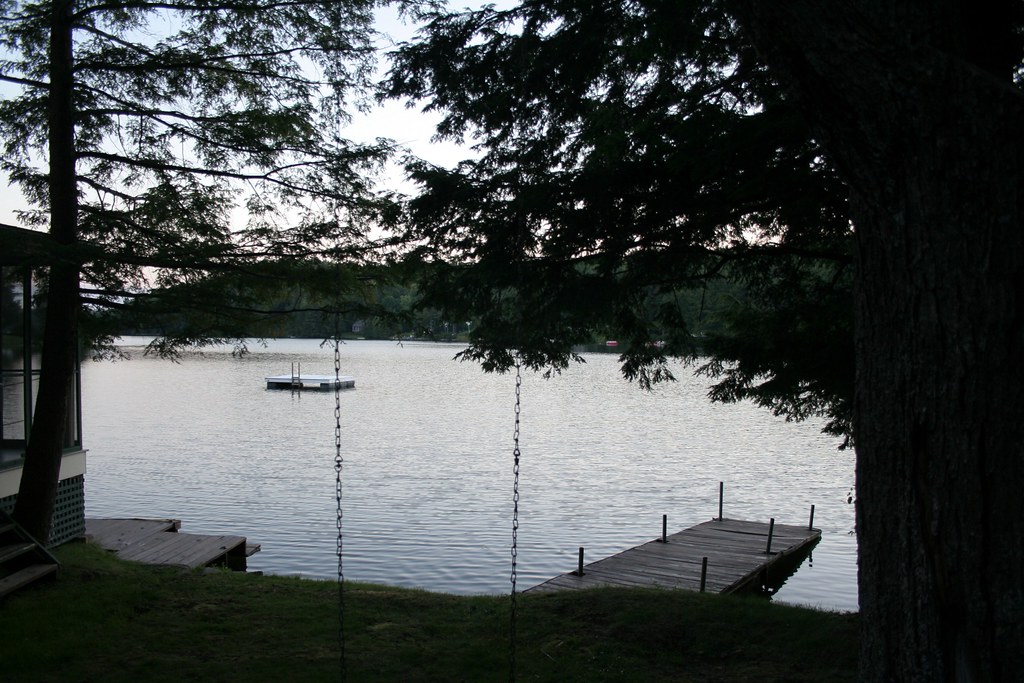
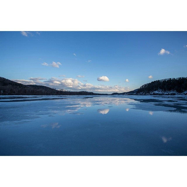
lake view

View from the Roundhouse
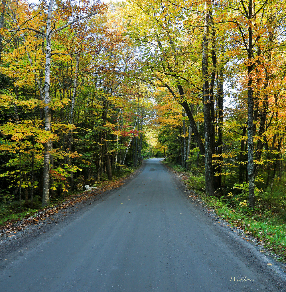
Autumn Lane
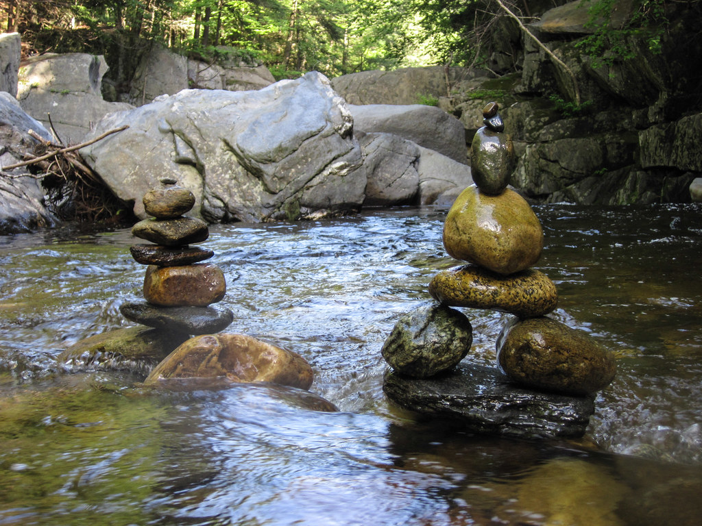
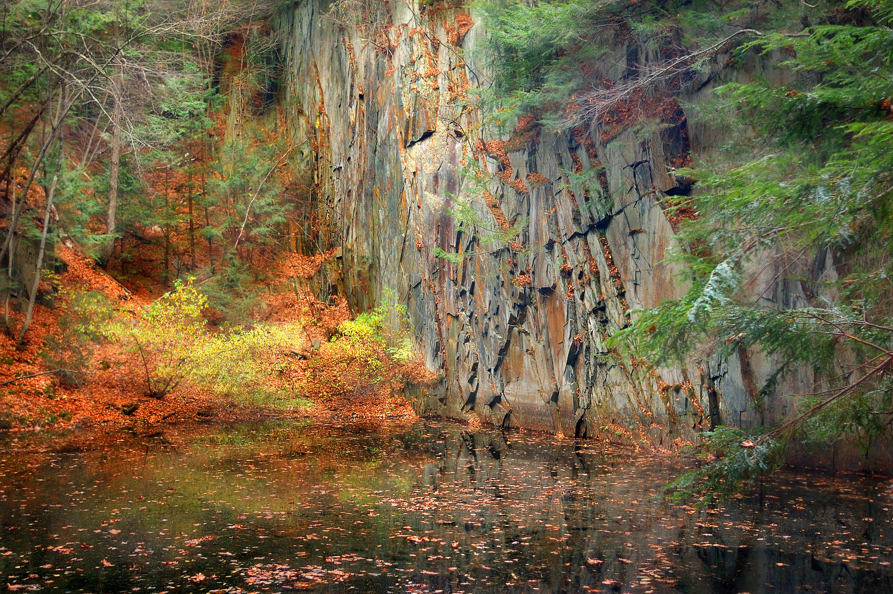
Rocks at Halifax
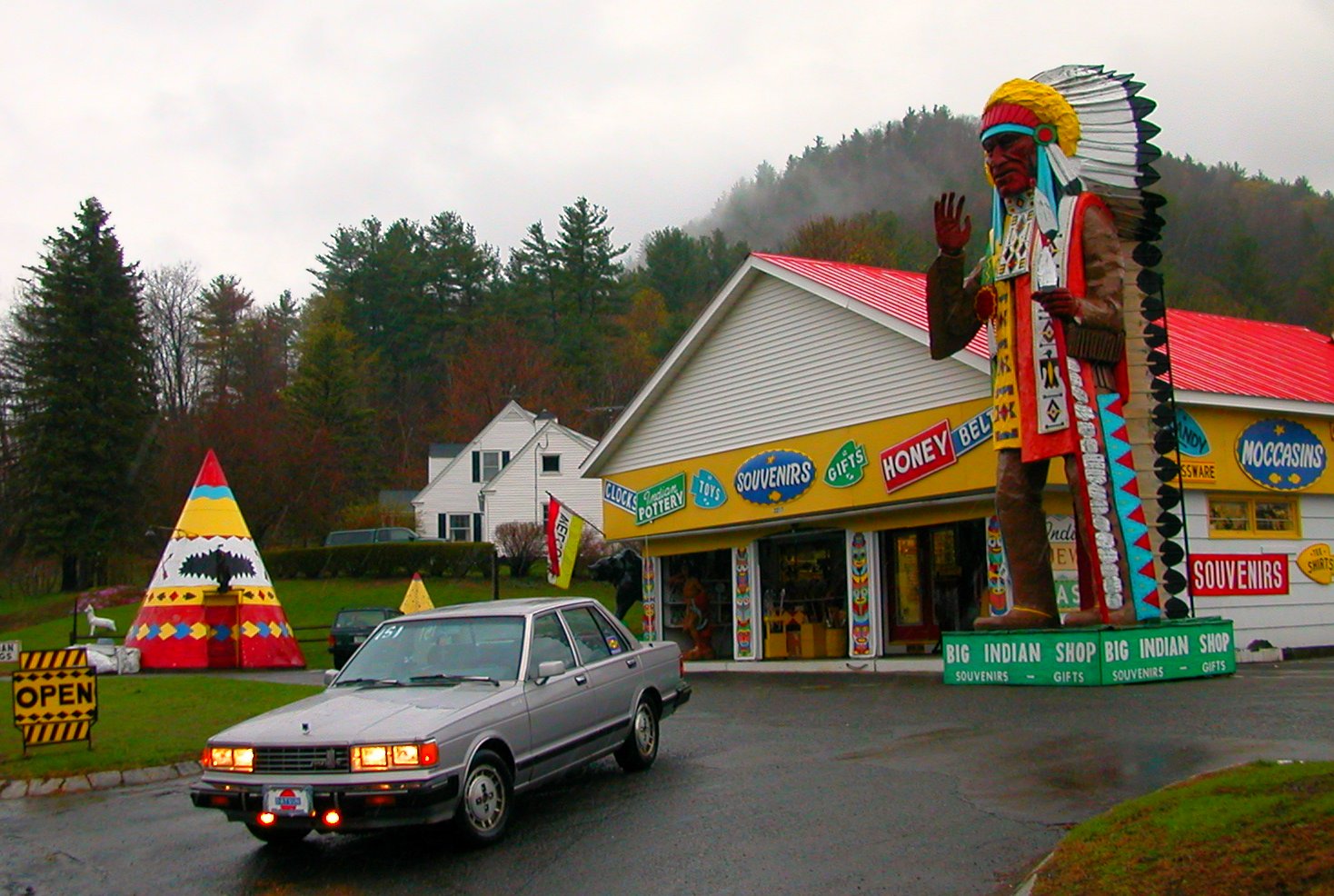
"Big Indian Shop" on the Mohawk Trail
The Wall
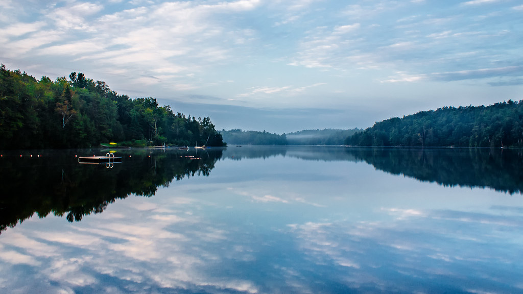
Lake Raponda, VT
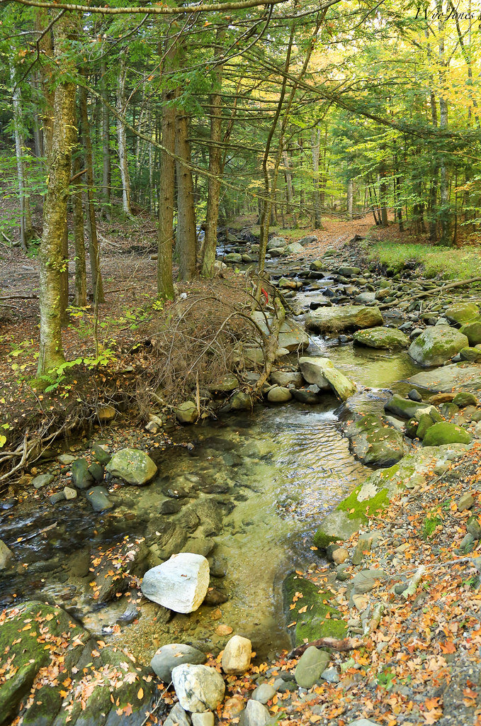
Marlboro Branch
VTAutumn010.jpg

VTAutumn037.jpg
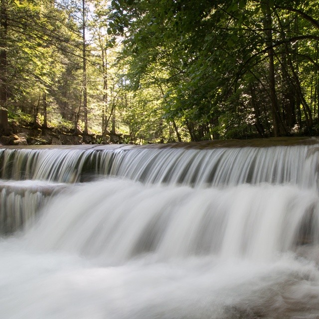
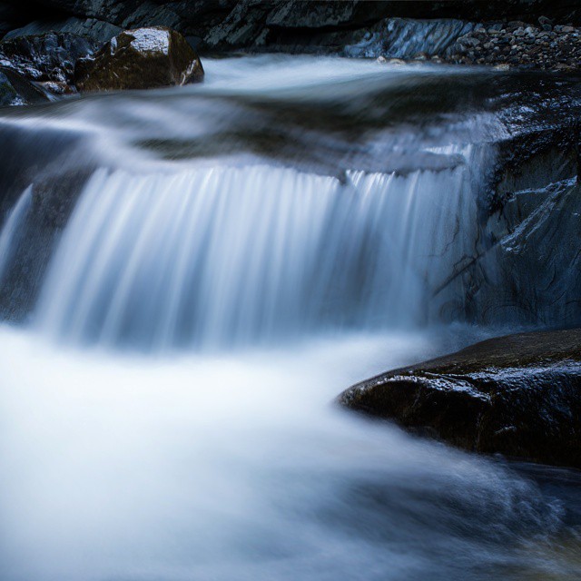
Constant II. 1/4 second @f/22 #waterfall #waterflow #vermontshots #70d #10to18mm review is now available. @jicebee you are right, better with rock cropped.
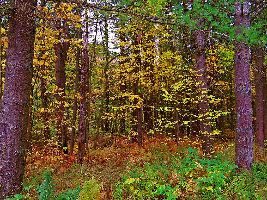
VTAutumn022.jpg
VTAutumn023.jpg

Autumn Trail at Quechee Gorge
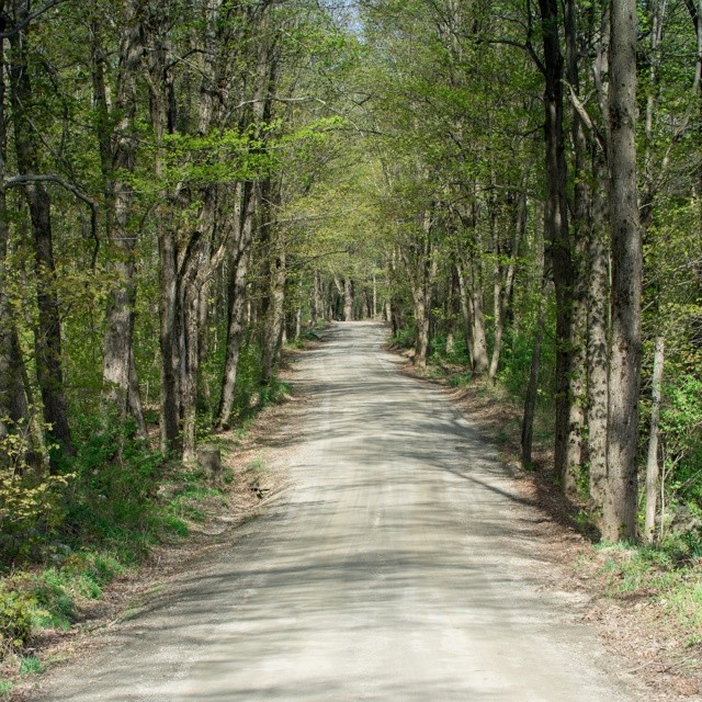
#adventureahead #newchapter #vtshots #dirtroads #spring #vermontshots my last day at @marlborocollege
Monochromatic flow. #vermont #waterfall #waterflow #getolympus taken with the e-m10, 1 second exposure

Pond | Southern VT
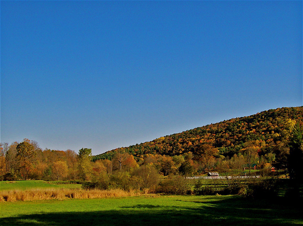
VTAutumn004.jpg
Standing on the sky. Road tripping with the fantastic #6D from the great folks at @lumoidit
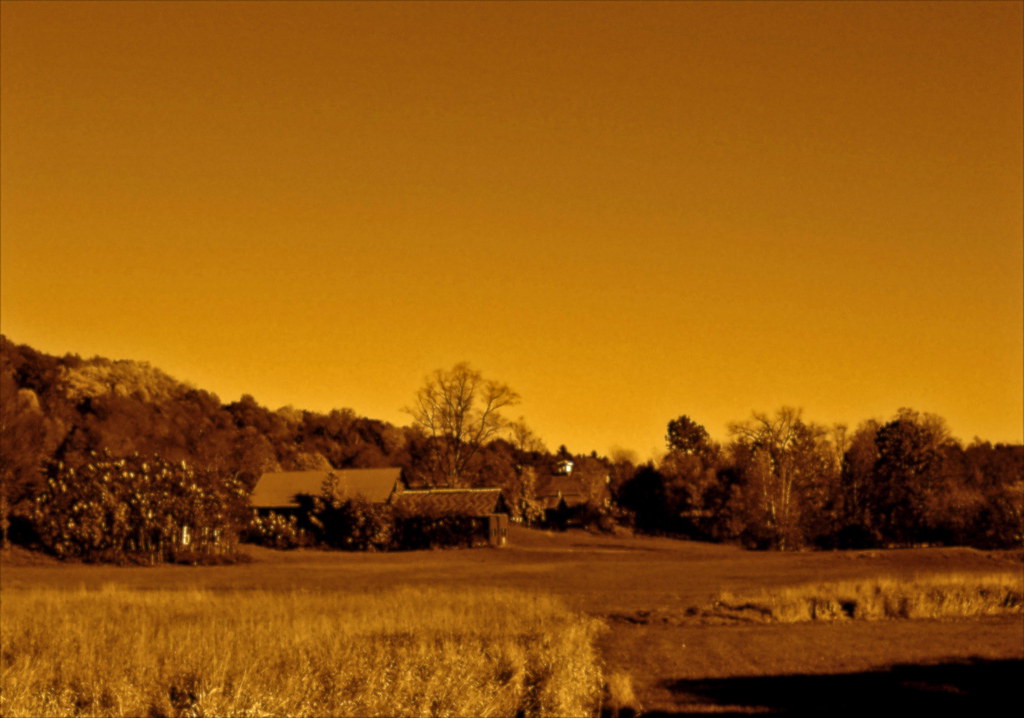
Brattleboro Sunset...
Apple tree. Early spring. #gopro @polarpro polarizing filter.
VTAutumn027.jpg
Topographic Map of Jacksonville Stage Rd, West Halifax, VT, USA
Find elevation by address:

Places near Jacksonville Stage Rd, West Halifax, VT, USA:
557 Old Stage Rd
Jacksonville Stage Rd, West Halifax, VT, USA
Halifax
2193 Old County Rd
3406 Stage Road
1355 Whitneyville Rd
297 Perry Rd
2635 Green River Rd
48 Perry Rd
271 Thompson Rd
530 Wilson Hill Rd
530 Wilson Hill Rd
196 Randall Dr
271 Thompson Rd
West Halifax
294 Thompson Rd
5051 Old County Rd
5061 Old County Rd
956 Brook Rd
348 Green River Rd
Recent Searches:
- Elevation of Corso Fratelli Cairoli, 35, Macerata MC, Italy
- Elevation of Tallevast Rd, Sarasota, FL, USA
- Elevation of 4th St E, Sonoma, CA, USA
- Elevation of Black Hollow Rd, Pennsdale, PA, USA
- Elevation of Oakland Ave, Williamsport, PA, USA
- Elevation of Pedrógão Grande, Portugal
- Elevation of Klee Dr, Martinsburg, WV, USA
- Elevation of Via Roma, Pieranica CR, Italy
- Elevation of Tavkvetili Mountain, Georgia
- Elevation of Hartfords Bluff Cir, Mt Pleasant, SC, USA