Elevation of Wilson Hill Rd, Colrain, MA, USA
Location: United States > Massachusetts > Franklin County > Colrain >
Longitude: -72.750407
Latitude: 42.7228998
Elevation: 446m / 1463feet
Barometric Pressure: 96KPa
Elevation Map:
Satellite Map:
Related Photos:

Shelburne Falls 0411-0417 Panorama

Native Views store

Art in the Shadows - Pan Am Edition

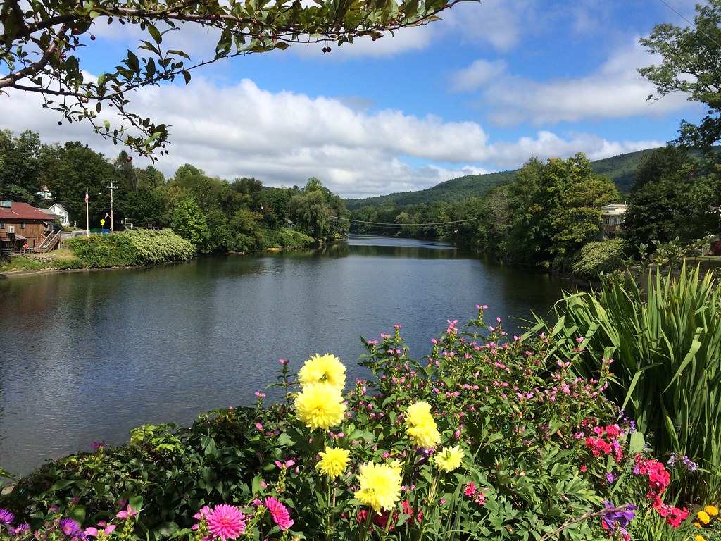
Shelburne Falls / Vista
Bridge of Flowers
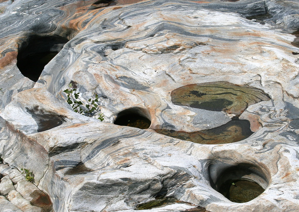
Glacial Potholes

A Place to Sit

15 Hogback Mountain 100 Mile View - dining room Skyline Restaurant

Bridge of Flowers
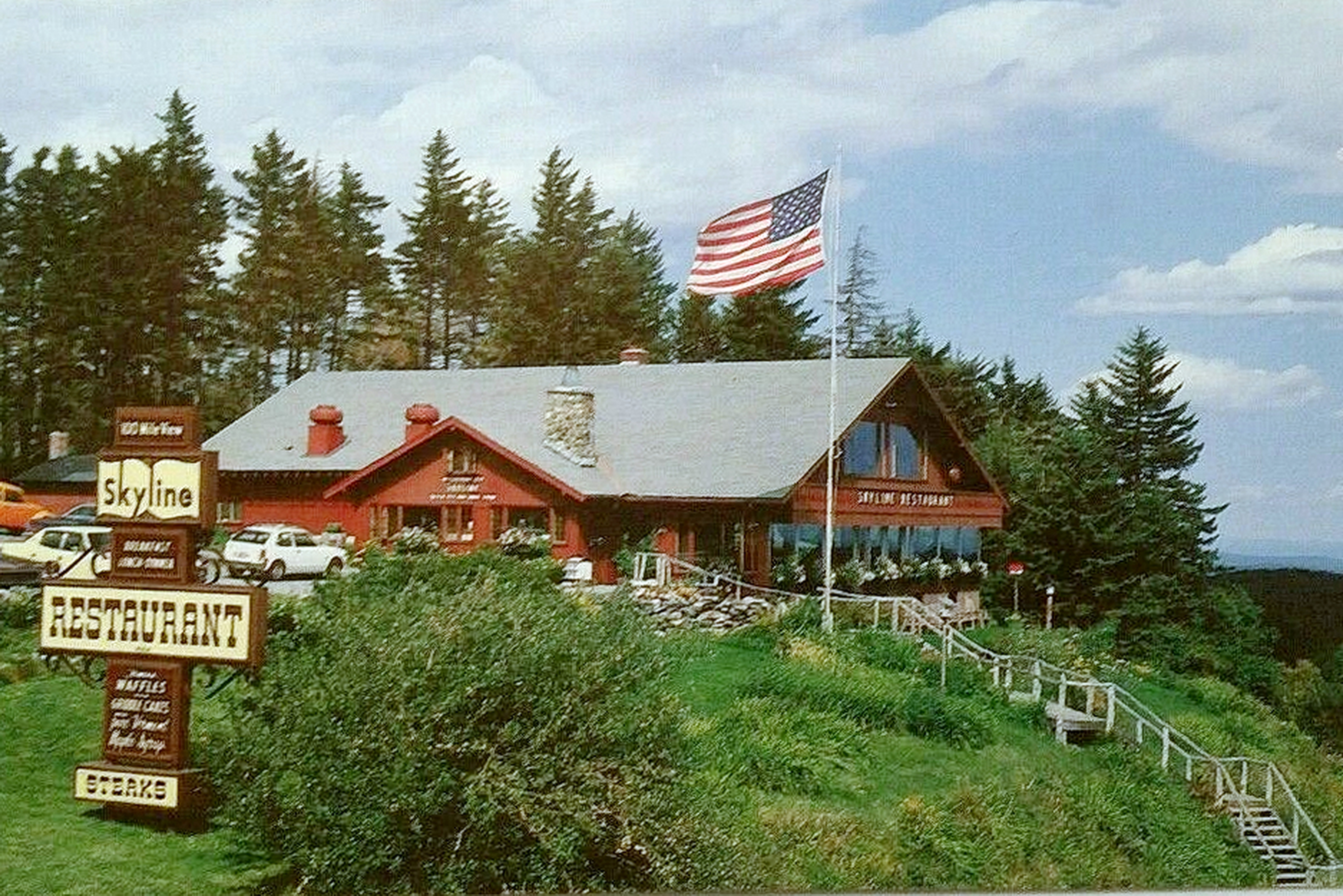
14 Hogback Mountain 100 Mile View - Skyline Restaurant

summer weekend

Bridge of Flowers

Old Man of the Falls

White Dahlia
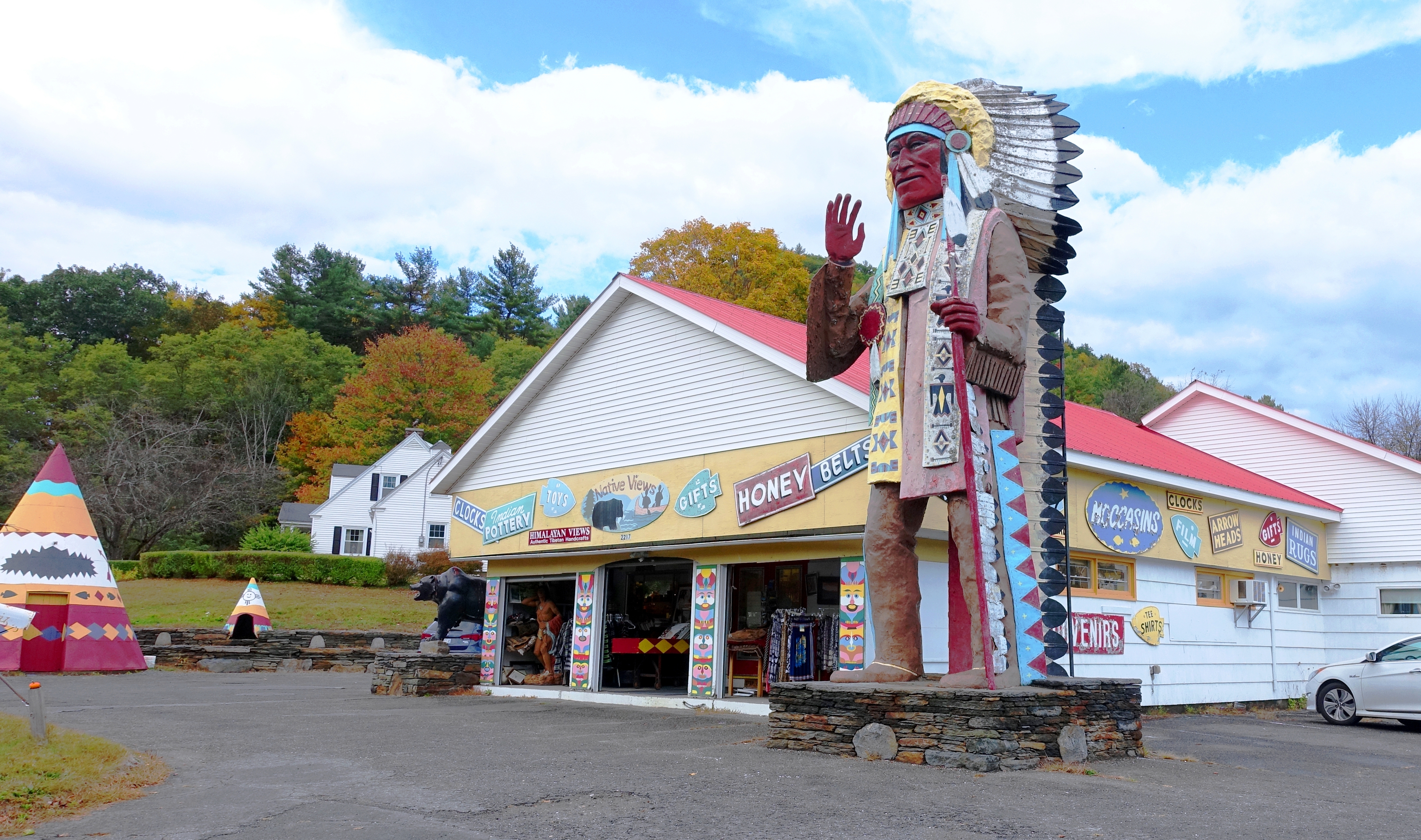
Native Views Trading Post on the Mohawk Trail in Shelburne Falls, Massachusetts

In Search of a Cool Breeze

Sunshine in the Rain

20191016-NRCS-LSC-0004

View from East Side to Hurricane Damaged Eunice Williams Covered Bridge

View from East Side to Hurricane Damaged Eunice Williams Covered Bridge

snowy start

Hill, fencepost and clouds (5180) 1

Buckland on Deerfield

Hibiscus, Rose of Sharon, Dahlia and other floral delights on

The Bridge of Flowers in peak season

The Bridge of Flowers

Shelburne Falls

October on The Deerfield

Waterfall and side canal

Constant II. 1/4 second @f/22 #waterfall #waterflow #vermontshots #70d #10to18mm review is now available. @jicebee you are right, better with rock cropped.

Along the Canal on Rt. 112 in Colrain....

Salmon Falls at Shelburne Falls Ma

#Bridge of #Flowers Shelburne Falls #Massachusetts #bridgeofflowers #shelburnefalls #flower #blossoms #garden #gardening #deerfieldriver #berkshires #bridges #bridgesofinstagram #bridges_of_instagram #bridges_aroundtheworld #leadinglines #perspective

Swimming Hole

northern berkshire winterscape

Bridge of Flowers Shelburne Falls Ma

A visit to Shelburne Falls, Mass ...

Rowe, Massachusetts

Rocks at Halifax

Rt. 112

The Virginian
Topographic Map of Wilson Hill Rd, Colrain, MA, USA
Find elevation by address:

Places near Wilson Hill Rd, Colrain, MA, USA:
530 Wilson Hill Rd
271 Thompson Rd
271 Thompson Rd
294 Thompson Rd
Halifax
Jacksonville Stage Rd, West Halifax, VT, USA
7020 Jacksonville Stage Rd
557 Old Stage Rd
West Halifax
2193 Old County Rd
1355 Whitneyville Rd
196 Randall Dr
956 Brook Rd
3406 Stage Road
297 Perry Rd
2635 Green River Rd
5051 Old County Rd
5061 Old County Rd
48 Perry Rd
348 Green River Rd
Recent Searches:
- Elevation of Corso Fratelli Cairoli, 35, Macerata MC, Italy
- Elevation of Tallevast Rd, Sarasota, FL, USA
- Elevation of 4th St E, Sonoma, CA, USA
- Elevation of Black Hollow Rd, Pennsdale, PA, USA
- Elevation of Oakland Ave, Williamsport, PA, USA
- Elevation of Pedrógão Grande, Portugal
- Elevation of Klee Dr, Martinsburg, WV, USA
- Elevation of Via Roma, Pieranica CR, Italy
- Elevation of Tavkvetili Mountain, Georgia
- Elevation of Hartfords Bluff Cir, Mt Pleasant, SC, USA