Elevation of 38 Borkowski Rd, Guilford, VT, USA

Location: United States > Vermont > Windham County > Guilford >

Longitude: -72.635803

Latitude: 42.771576

Elevation: 299m / 981feet

Barometric Pressure: 98KPa

Elevation Map:

elevation map of 38 Borkowski Rd, Guilford, VT, USA

Satellite Map:

Satellite map of 38 Borkowski Rd, Guilford, VT, USA

Related Photos:

vermont fall color colour tree wood autumn leaves forest red yellow orange gree
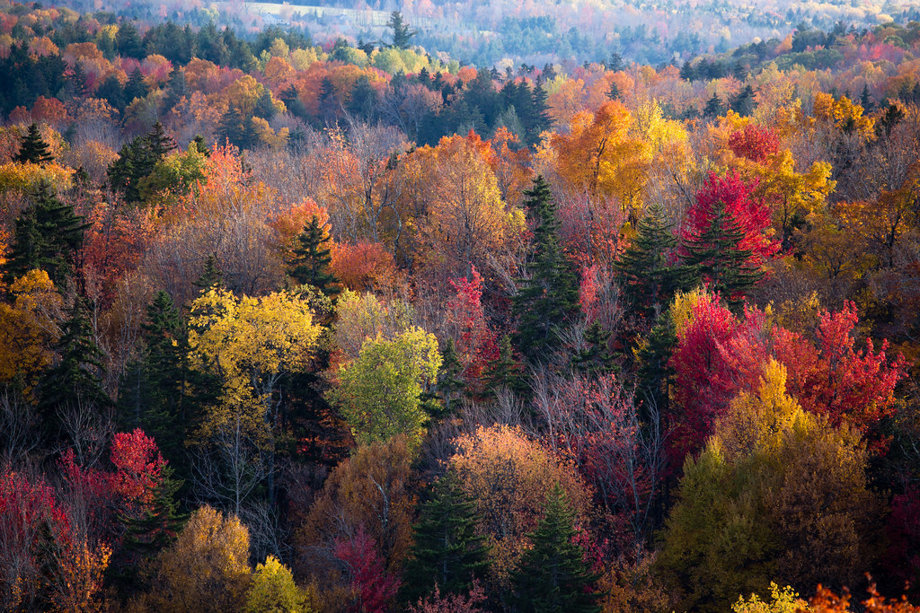
View from Hogback Mountain, Marlboro, Vermont
buildings backyard structures vt brattleborovermont olympuse510 professorbop harmonyparking
Brattleboro Backyards
travel summer vacation usa rural us vermont unitedstatesofamerica scenic newengland august marlboro recreation hdr northwoods greenmountains scenicoverlook ruralroad ruralscenes scenicdrive hogbackmountain photomatixpro windhamcounty northernforest 100mileview photogeorge hogbackmountaingiftshop mollystarkbyway vermontroute9 nikond750 acdseeultimate8 hogbackmountainconservationarea hogbackmountainskiarea
More Than a View
acdseephotostudio foodanddrink greenmountains restaurant unitedstatesofamerica us usa vermont vintagepostcard marlboro skylinerestaurant 100mileview vermontrt9 windhamcounty mollystarktrail hogbackmountain
15 Hogback Mountain 100 Mile View - dining room Skyline Restaurant
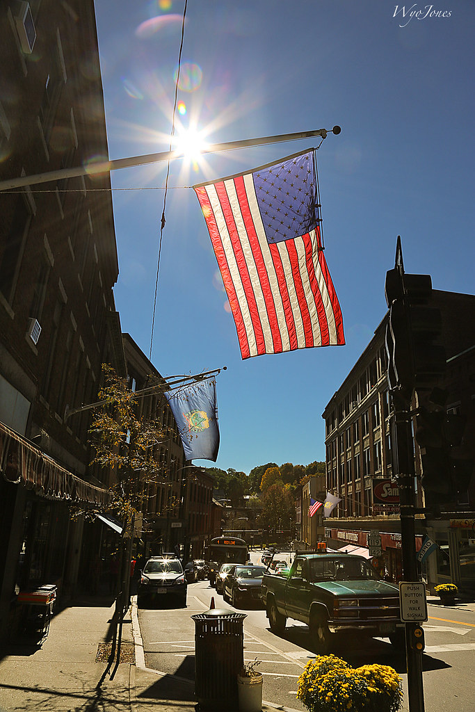
sun bus cars buildings downtown vermont view flag pickup sidewalk backlit np intothesun sunflares wyojones brattleboromainstreet
Flag on Main Street
street urban night olympuse300 vt brattleborovermont professorbop
Brattleboro Night
galleryinthewoods vermont brattleboro art gallery cool newengland colorful
Art of Vermont
travel summer vacation usa rural us vermont unitedstatesofamerica scenic newengland august marlboro recreation hdr northwoods panarama greenmountains ruralroad ruralscenes scenicdrive hogbackmountain photomatixpro windhamcounty northernforest 100mileview photogeorge vermontroute9 nikond750 acdseeultimate8 hogbackmountainconservationarea
Hogback Mountain - 100 Mile View
acdseephotostudio foodanddrink greenmountains restaurant unitedstatesofamerica us usa vermont vintagepostcard marlboro skylinerestaurant 100mileview vermontrt9 windhamcounty mollystarktrail hogbackmountain
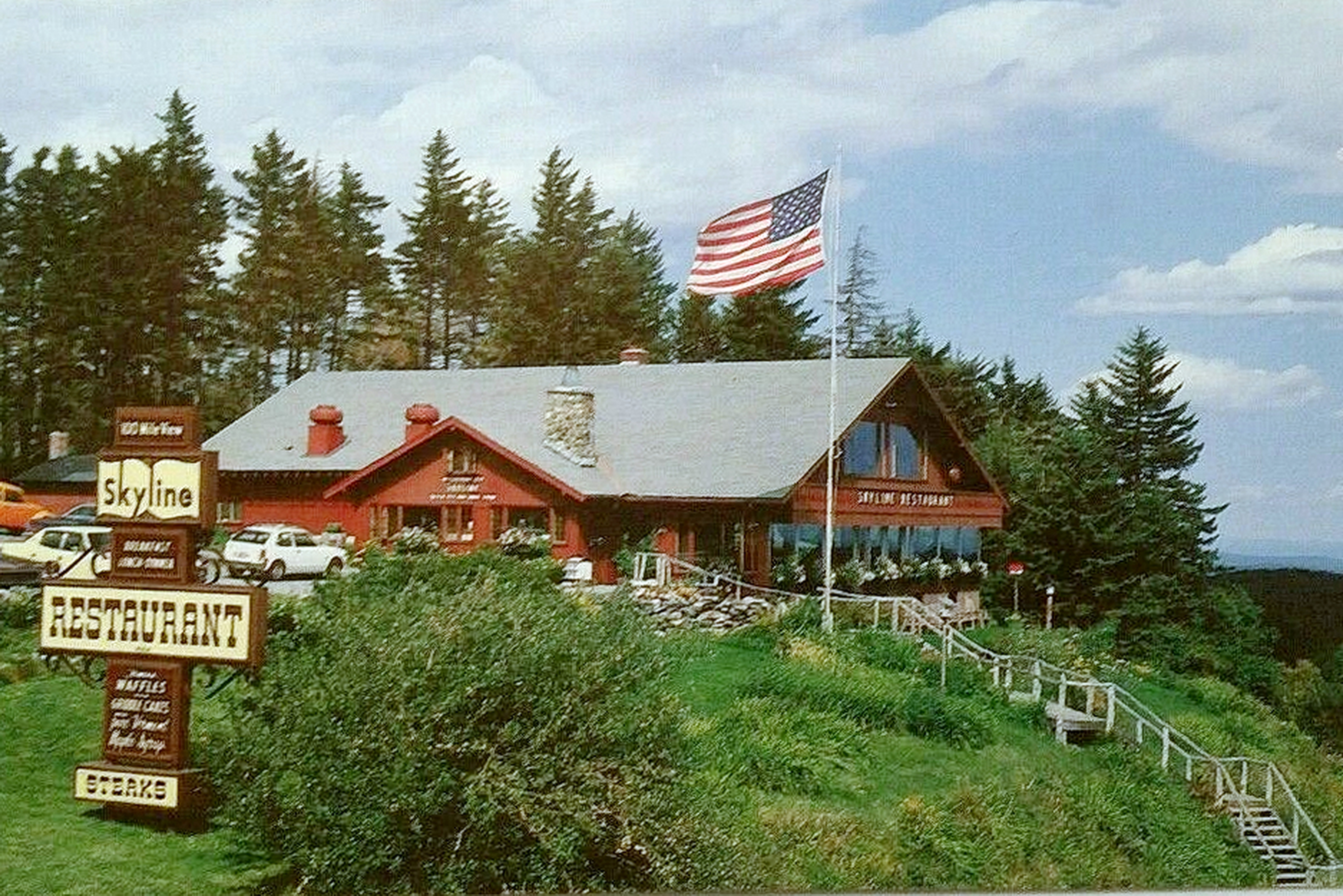
14 Hogback Mountain 100 Mile View - Skyline Restaurant
creamerybridge bridge coveredbridge brattleboro vermont whetstonebrook park rain
The Creamery Bridge
trees mountain mountains green nature beauty landscape geotagged outdoors vermont overlook greenmountains heritagetrail scenicview 2015 hogbackmountain windhamcounty mollystarkbyway libertytour
Hogback Mountain overlook, Vermont
travel summer vacation usa rural us vermont unitedstatesofamerica scenic newengland august marlboro recreation hdr northwoods greenmountains ruralroad ruralscenes scenicdrive vt9 hogbackmountain photomatixpro windhamcounty northernforest 100mileview southernvermontnaturalhistorymuseum photogeorge hogbackmountaingiftshop mollystarkbyway nikond750 acdseeultimate8 hogbackmountainconservationarea
Hogback Mountain - The Pull Over
marlboro vermont unitedstates us
Hogback Mountain view
square squareformat iphoneography instagramapp uploaded:by=instagram foursquare:venue=4ff4b4ece4b048eef6bfd5e8
Dinner view #perfectevening #LGG4
winter duck vermont brattleboro vt whetstonebrook
Brattleboro ducks
acdseephotostudio august flora greenmountains mountains nikond750 northernforest outdoor photogeorge photoshoot rural ruralscenes scenic summer unitedstatesofamerica us usa vermont marlboro vermontrt9 windhamcounty hogbackmountain 100mileview mollystarktrail hogbackmountainconservationassociation
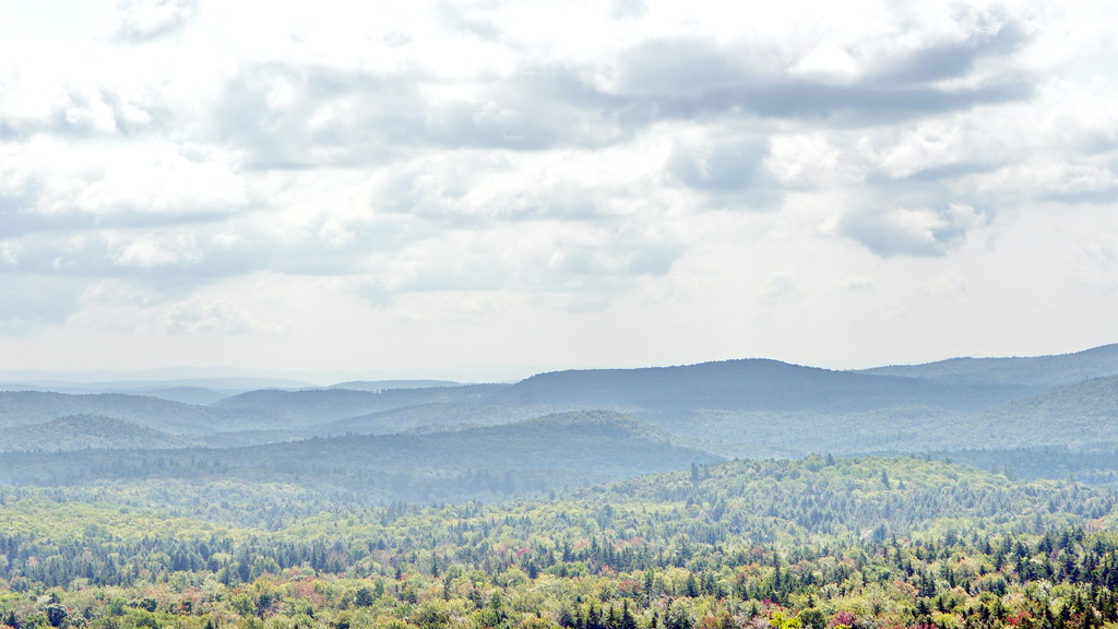
09 Hogback Mountain 100 Mile View - Overview three: Green Mountain Panarama
tree fallcolors fallfarmland pasture farmusdadepartmentofagricultureusdepartmentofagricultureaerialfruittreesappleorchardfarmbarn
20191016-NRCS-LSC-0004
bridge usa river ma flood massachusetts newengland greenriver coveredbridge greenfield hurricaneirene eunicewilliamsbridge charleskellogg eunicewilliams charlesgkellogg charliekellogg greenriverpumpingstation copyright2011
View from East Side to Hurricane Damaged Eunice Williams Covered Bridge
galleryinthewoods vermont brattleboro art gallery cool newengland colorful
Art of Vermont
Brattleboro, VT.
acdseephotostudio august flora greenmountains mountains nikond750 northernforest outdoor photogeorge photoshoot rural ruralscenes scenic summer unitedstatesofamerica us usa vermont marlboro vermontrt9 windhamcounty hogbackmountain 100mileview mollystarktrail hogbackmountainconservationassociation
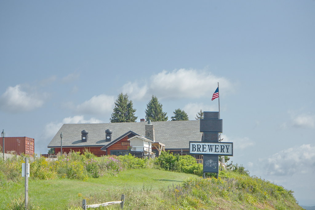
10 Hogback Mountain 100 Mile View - Beer Naked Brewery
2017 clichésaturday river sky 1017 vacation hinsdale newhampshire unitedstates us
On the Connecticut River
The Wall
waterfall colrain mountain rt112 canal
Waterfall and side canal
new autumn england fall stone stairs us ruins unitedstates newengland newhampshire hampshire chesterfield
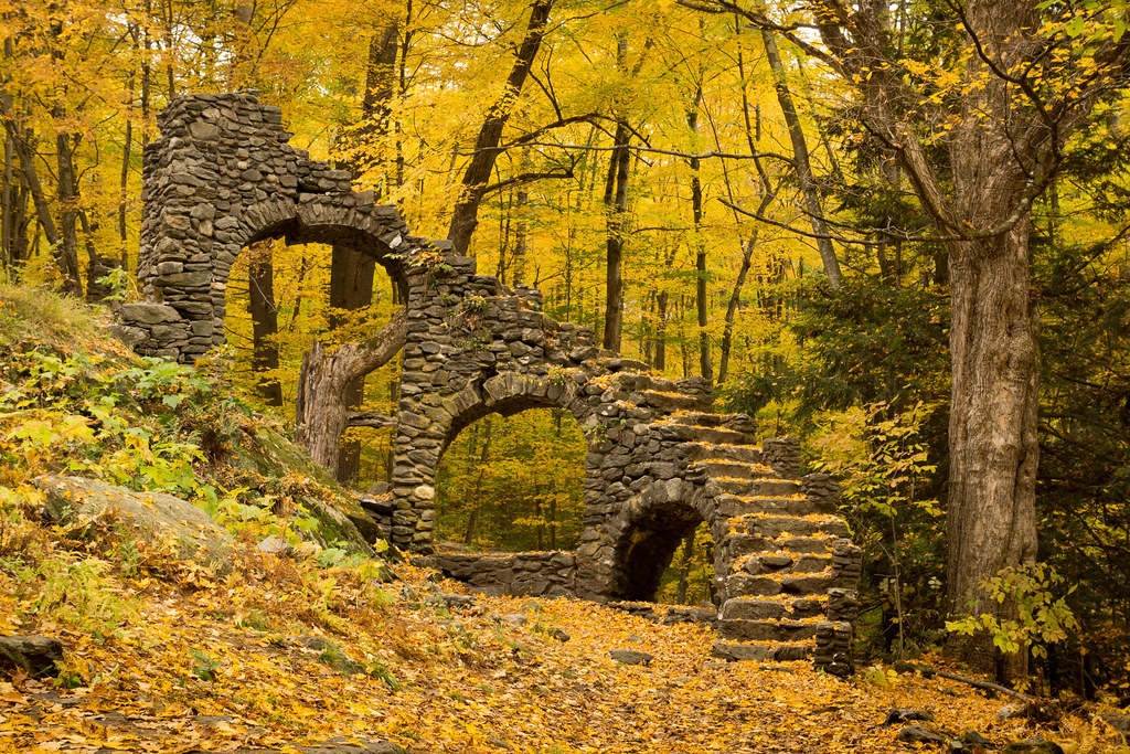
Madame Sherri Castle
vermont
Foggy morning
chesterfield newhampshire unitedstates madamesherri trees abandoned ruins stone granite newengland legendtripping castle outside stairs staircase stairstonowhere yextnewhampshire
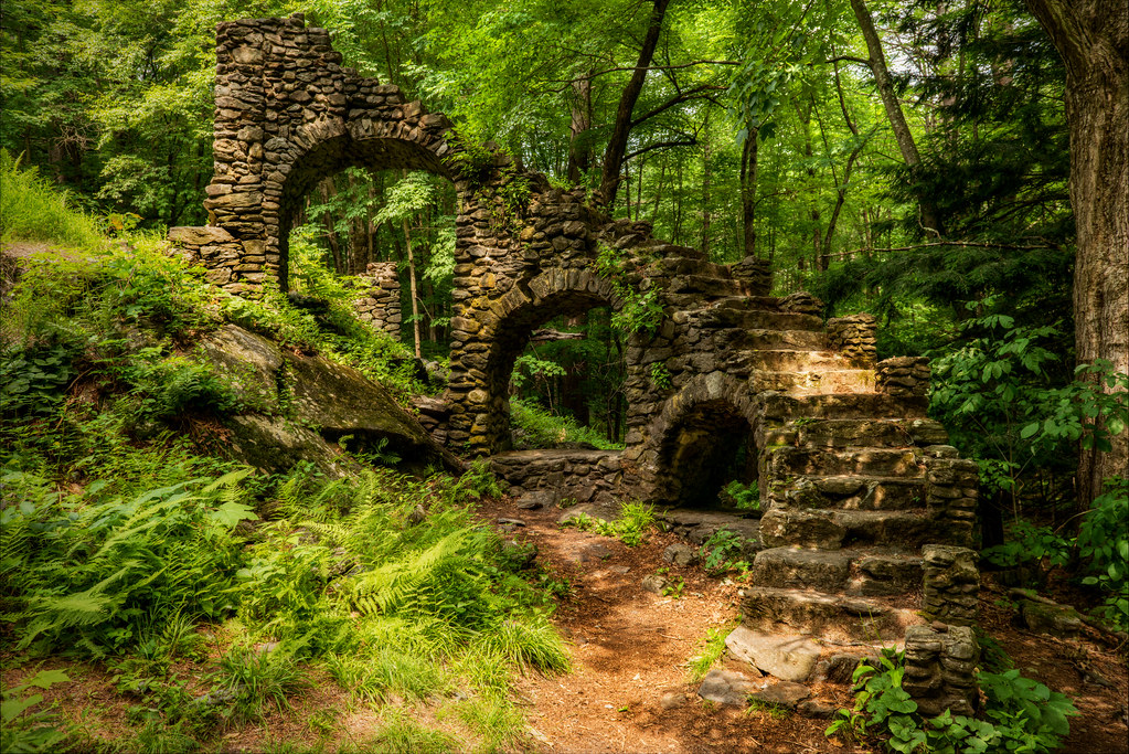
Madame Sherri's Castle Ruins
bridge tree reflections river vermont rusty junction np brattleboro ironoxide connecticutriver westriver nearsunset rustred wantastiquet windhamcounty newenglandcentralrailroad wyojones watersofthelonelyway activebridge
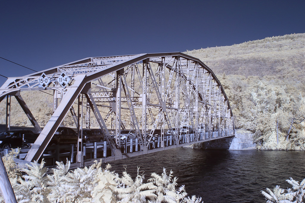
Railroad Bridge at Brattlesboro Vermont
square squareformat iphoneography instagramapp uploaded:by=instagram
Constant II. 1/4 second @f/22 #waterfall #waterflow #vermontshots #70d #10to18mm review is now available. @jicebee you are right, better with rock cropped.
square squareformat iphoneography instagramapp uploaded:by=instagram
Straight out of the camera #70D #tokina 11-16 @f/7.1 10seconds #longexposure #waterflow
vermont brattleboro brattleborovt newengland foliage autumn fall colors roadtrip travel bridge newhampshire bridgestbridge bridgest hinsdalenh hinsdale connecticutriver canon 24105l infrared infraredlandscape 7d canon7d
Brattleboro IR_20191014_093
square squareformat iphoneography instagramapp uploaded:by=instagram
Experiment with #flowingwater and #hdr #70D
seabeesbridge summer landscape boat connecticutriver river nature brattleboro vermont vt unitedstatesofamerica usa nikon d610 1635f4vr fav10
Connecticut River
ngc npc
Where West Meets East
madamesherriforest madamesherricastle madamesherrispond pond water landscape blackandwhite monochrome bw westchesterfield chesterfield newhampshire nh unitedstatesofamerica usa nature nikon d610 1635f4vr fav10
Madame Sherri's Pond
square squareformat iphoneography instagramapp uploaded:by=instagram
Monochromatic flow. #vermont #waterfall #waterflow #getolympus taken with the e-m10, 1 second exposure
square squareformat iphoneography instagramapp uploaded:by=instagram
Powered the revolution. #sonya7r with #metabones adapter and #sigma50art 2 second exposure and edited in #Nik
ny geotagged vermont unitedstates bobby halifax vt zucco 2013 bobbyzucco pedrozucco
Rocks at Halifax
fall nh us usa autumn automne unitedstates newengland newhampshire landscape licensed exclusive getty
Fall in New Hampshire
road autumn trees color fall leaves vermont lane np foilage countryroad pavedroad windhamcounty southnewfane wyojones augurholeroad
Autumn Lane
flowers sunset vermont brattleborovt d5100
Brattleboro Sunset...
Wall To Wall