Elevation of Yell County, AR, USA
Location: United States > Arkansas >
Longitude: -93.338891
Latitude: 35.0810824
Elevation: 96m / 315feet
Barometric Pressure: 100KPa
Elevation Map:
Satellite Map:
Related Photos:
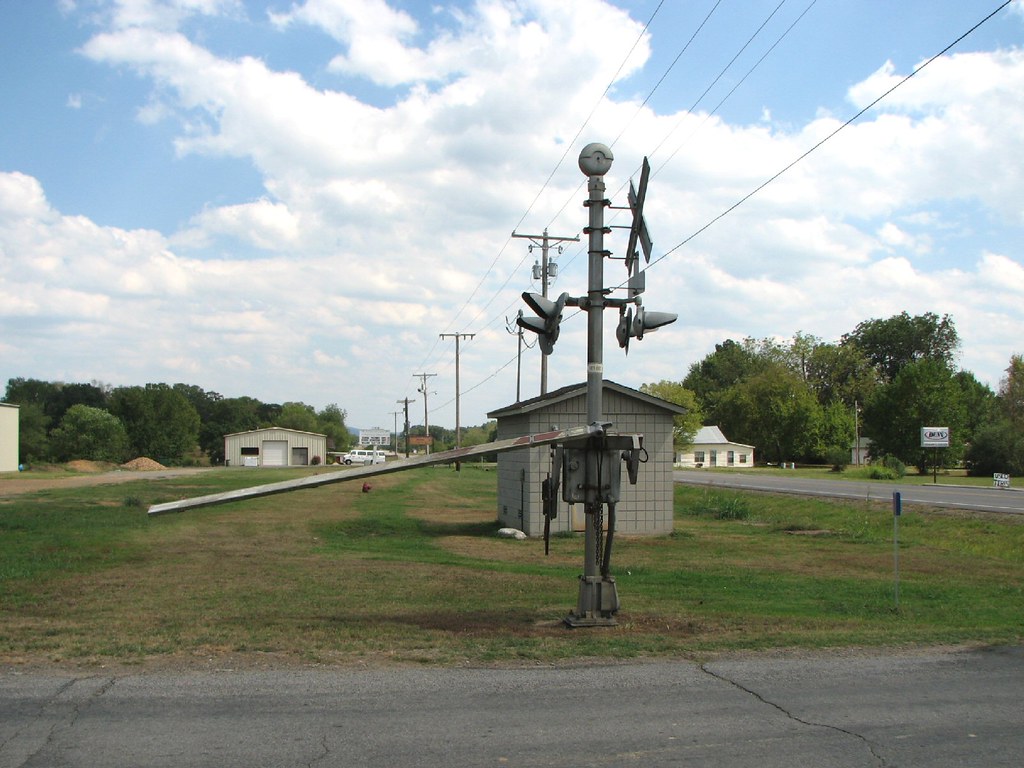
Belleville Railroad-South Signal
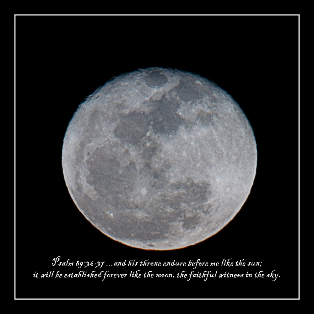
howling at the moon
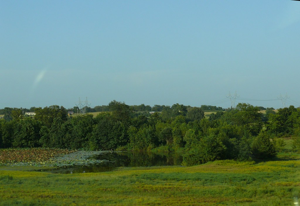
Cane Island Slough-Side View

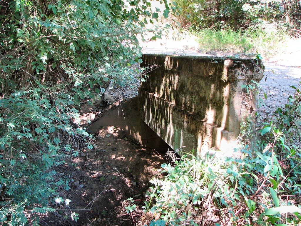
Achmun Creek-Side View
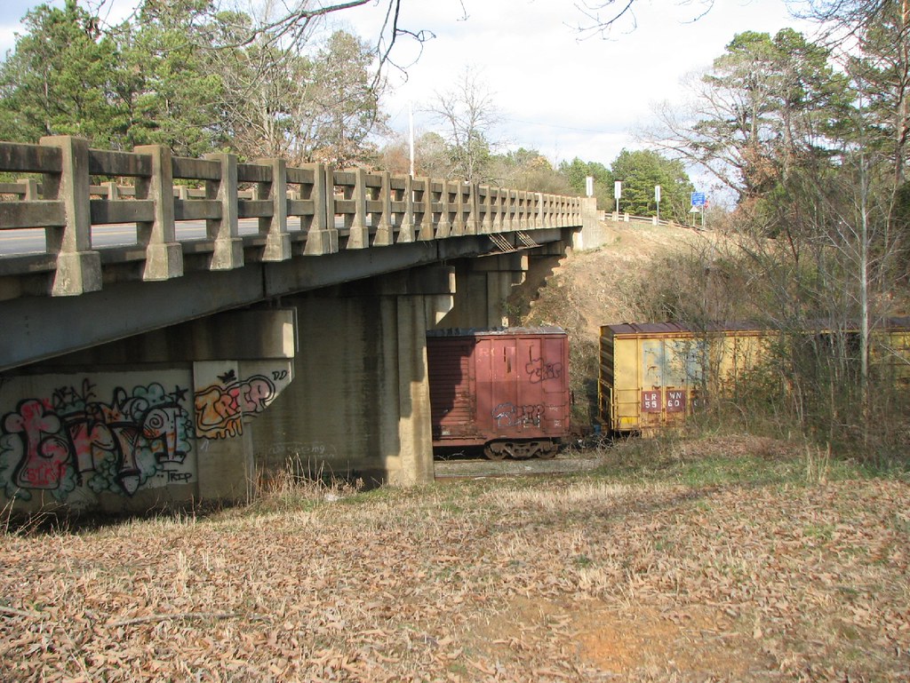
Ola Overpass- Side View
P1010313.jpg
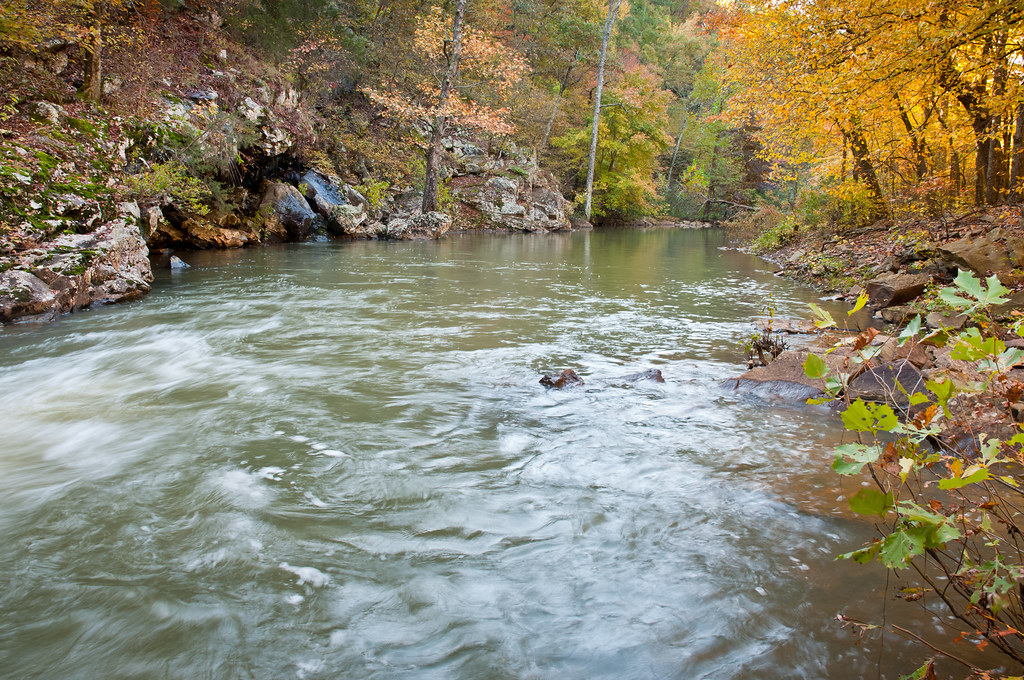
Spring Lake 10.05.11
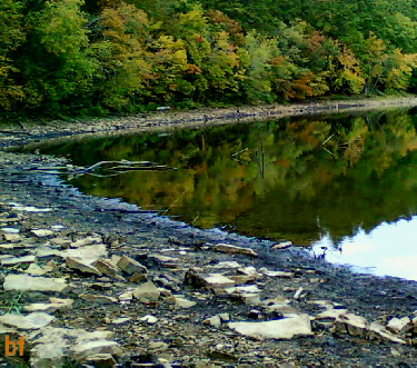
Downstream of Spring Lake
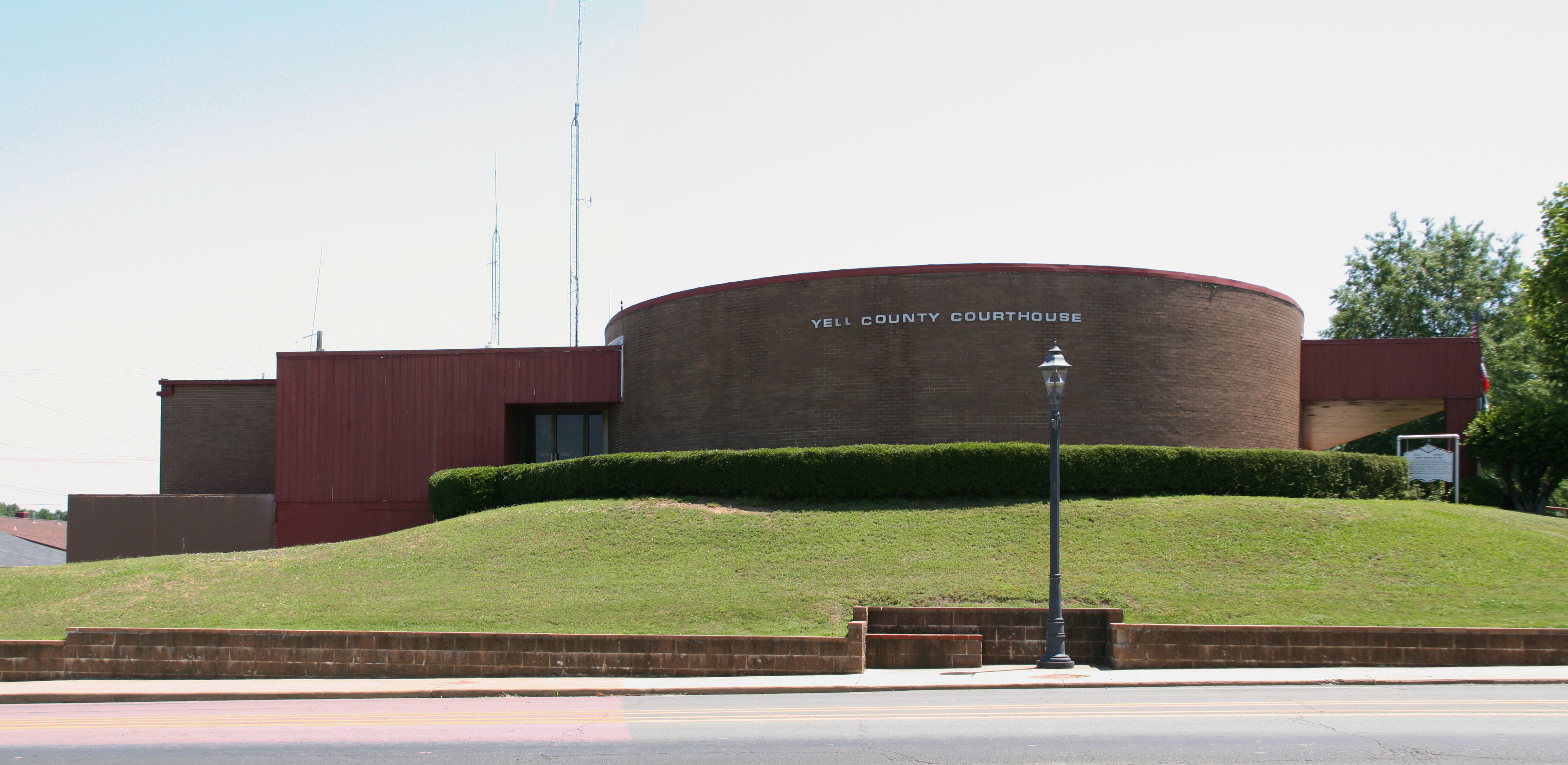
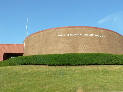
Yell County courthouse
P1010311.jpg
and the trees are all kept equal by hatchet, axe, and saw
Topographic Map of Yell County, AR, USA
Find elevation by address:

Places in Yell County, AR, USA:
Magazine Township
Herring Township
Dutch Creek Township
Centerville Township
Danville Township
Riley Township
Ions Creek Township
Mason Township
Lamar Township
Rover Township
Dardanelle Township
Prairie Township
Ward Township
Briggsville Township
W State Hwy 28, Rover, AR, USA
Hwy A, Dardanelle, AR, USA
Union St, Dardanelle, AR, USA
AR-, Havana, AR, USA
4th St, Ola, AR, USA
Places near Yell County, AR, USA:
Prairie Township
Lower Springs Road
AR-10, Danville, AR, USA
Danville
Main St, Danville, AR, USA
AR-, Danville, AR, USA
Danville Township
Magazine Township
N Broadway Ave, Plainview, AR, USA
Plainview
AR-28, Danville, AR, USA
11024 Raven Rd
Ward Township
4th St, Ola, AR, USA
Ola
Centerville Township
AR-80, Danville, AR, USA
AR-7, Danville, AR, USA
AR-, Dardanelle, AR, USA
AR-80, Danville, AR, USA
Recent Searches:
- Elevation of Spaceport America, Co Rd A, Truth or Consequences, NM, USA
- Elevation of Warwick, RI, USA
- Elevation of Fern Rd, Whitmore, CA, USA
- Elevation of 62 Abbey St, Marshfield, MA, USA
- Elevation of Fernwood, Bradenton, FL, USA
- Elevation of Felindre, Swansea SA5 7LU, UK
- Elevation of Leyte Industrial Development Estate, Isabel, Leyte, Philippines
- Elevation of W Granada St, Tampa, FL, USA
- Elevation of Pykes Down, Ivybridge PL21 0BY, UK
- Elevation of Jalan Senandin, Lutong, Miri, Sarawak, Malaysia