Elevation of Herring Township, AR, USA
Location: United States > Arkansas > Yell County >
Longitude: -93.510453
Latitude: 34.9772412
Elevation: 245m / 804feet
Barometric Pressure: 98KPa
Elevation Map:
Satellite Map:
Related Photos:
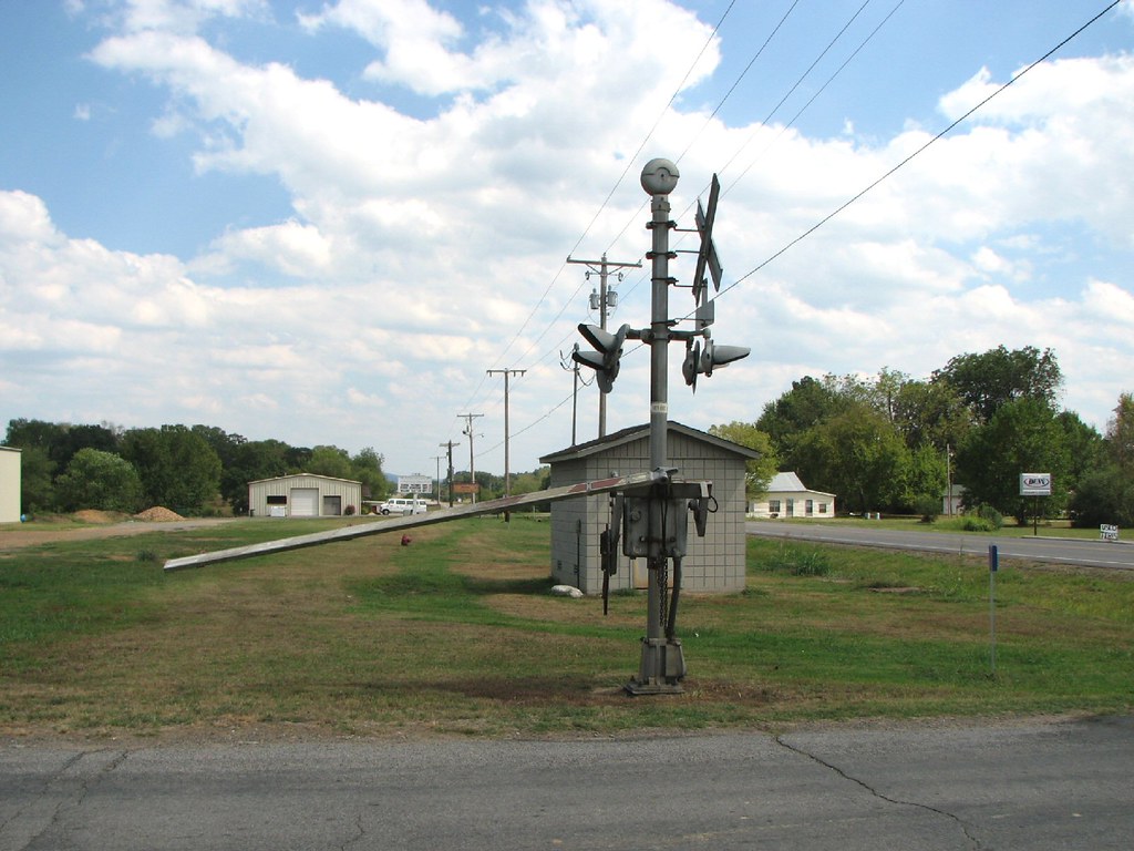
Belleville Railroad-South Signal
P1010313.jpg
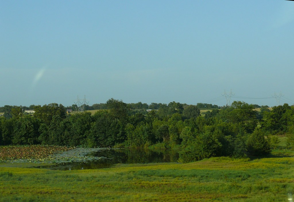
havana days
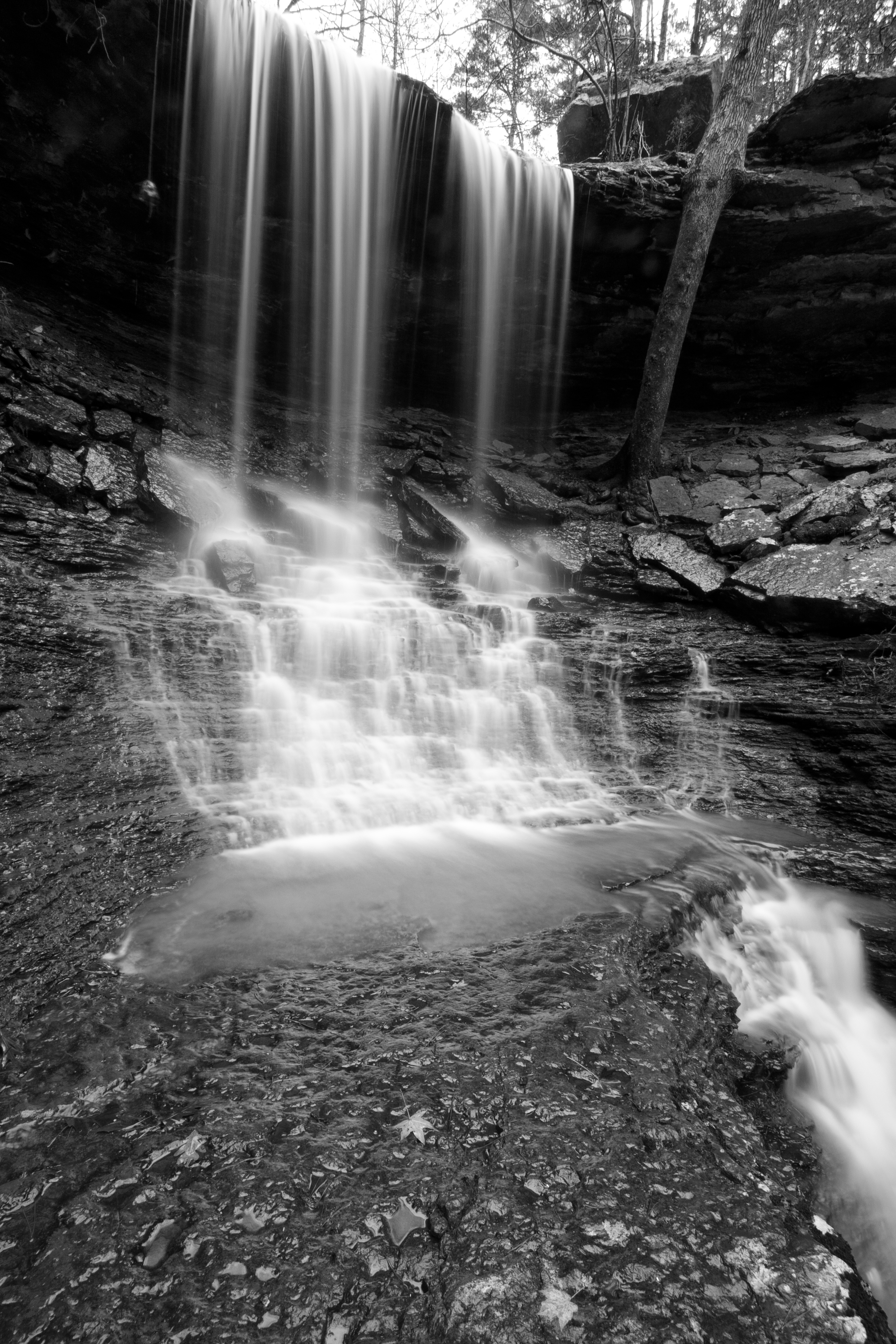
Mitchell Branch Falls 1
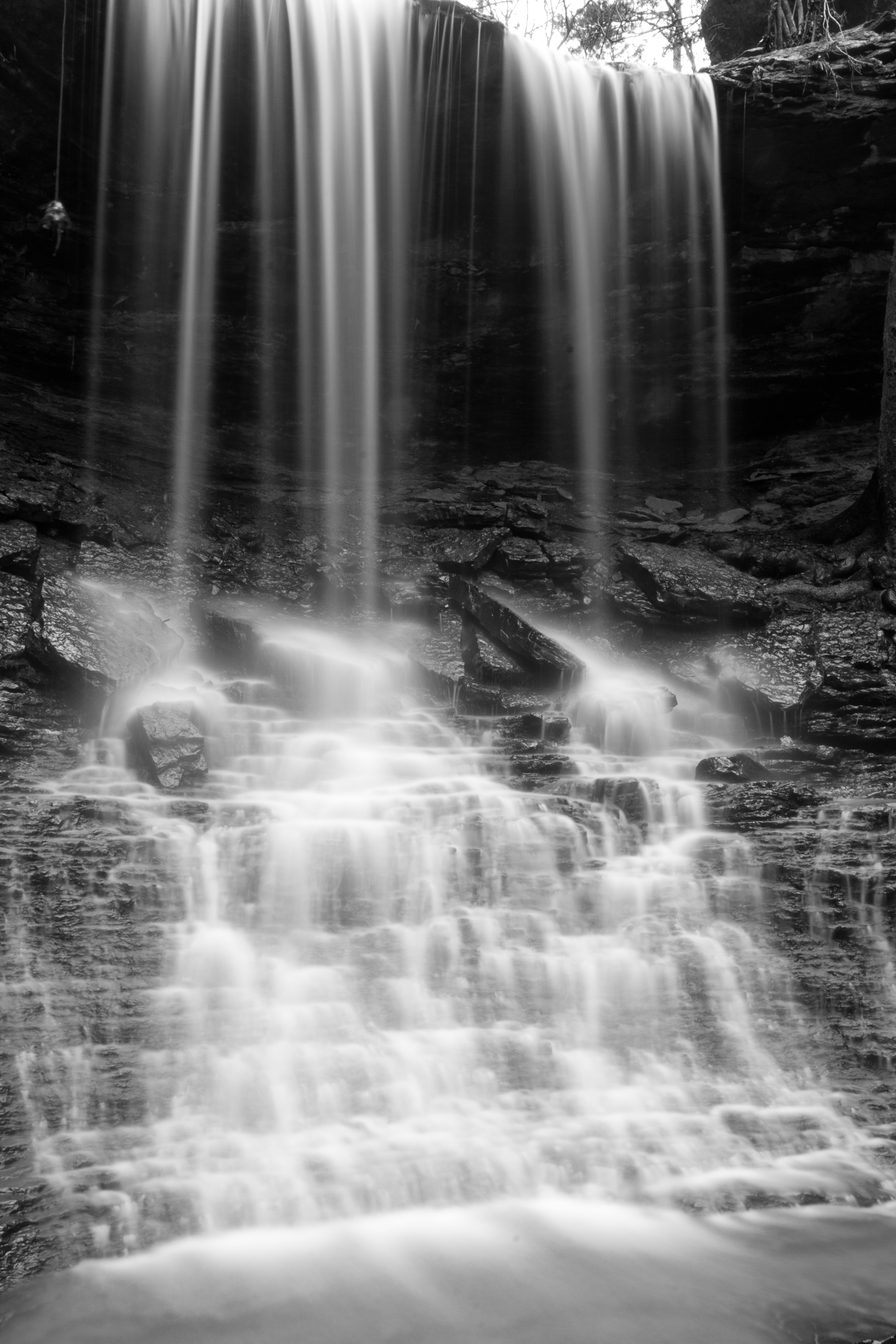
Mitchell Branch Falls 3
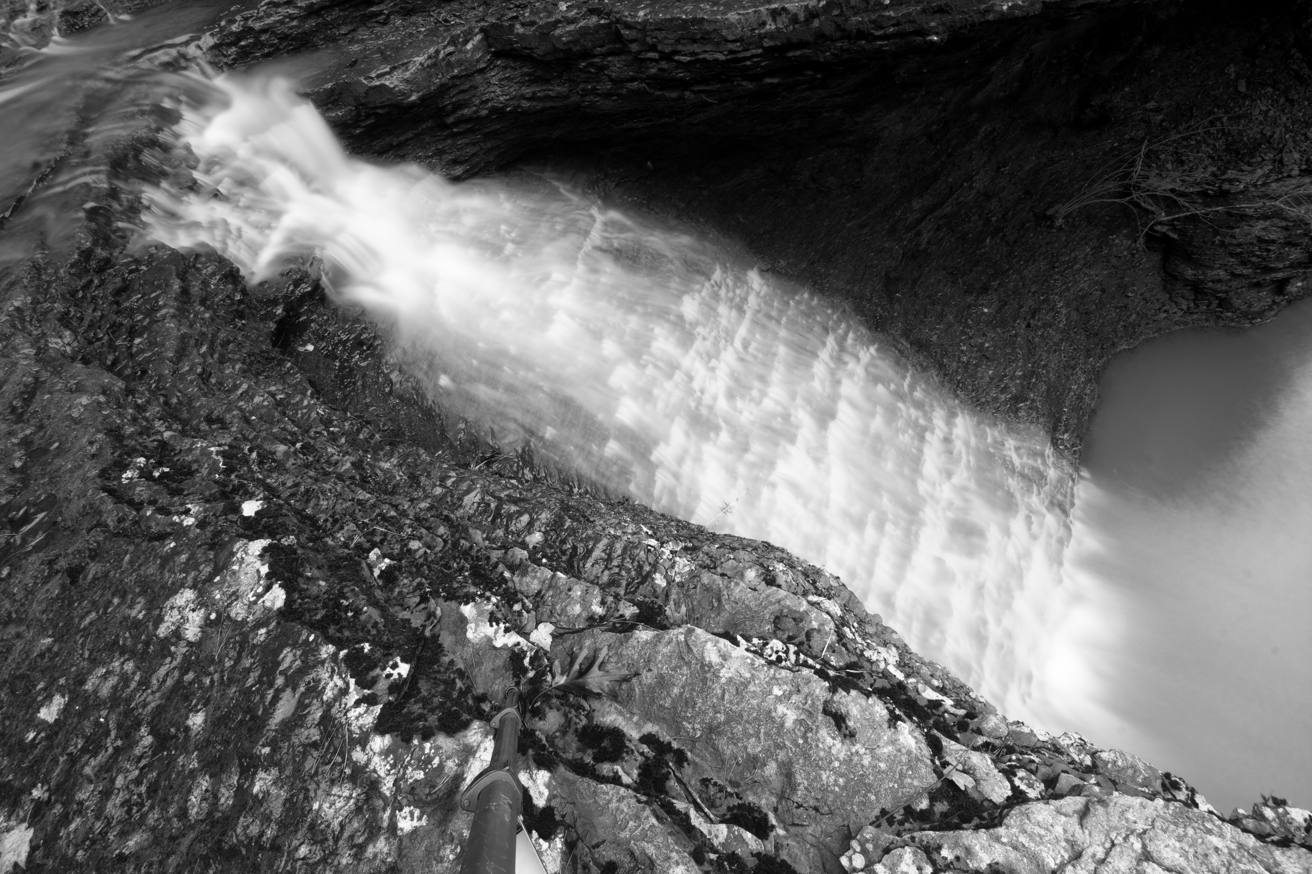
Mitchell Branch Falls 2
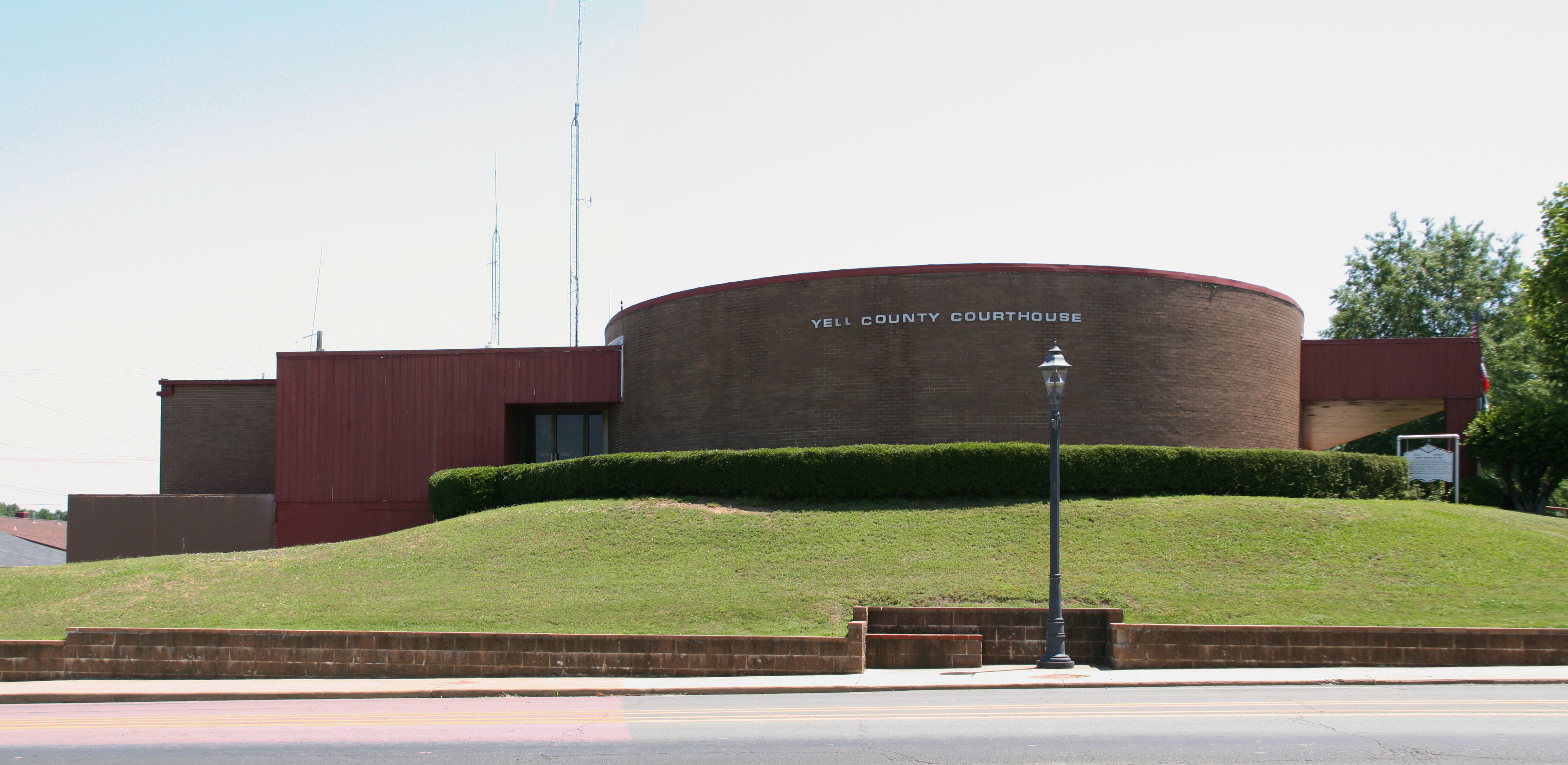
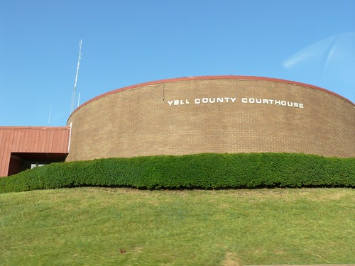
Yell County courthouse
P1010311.jpg
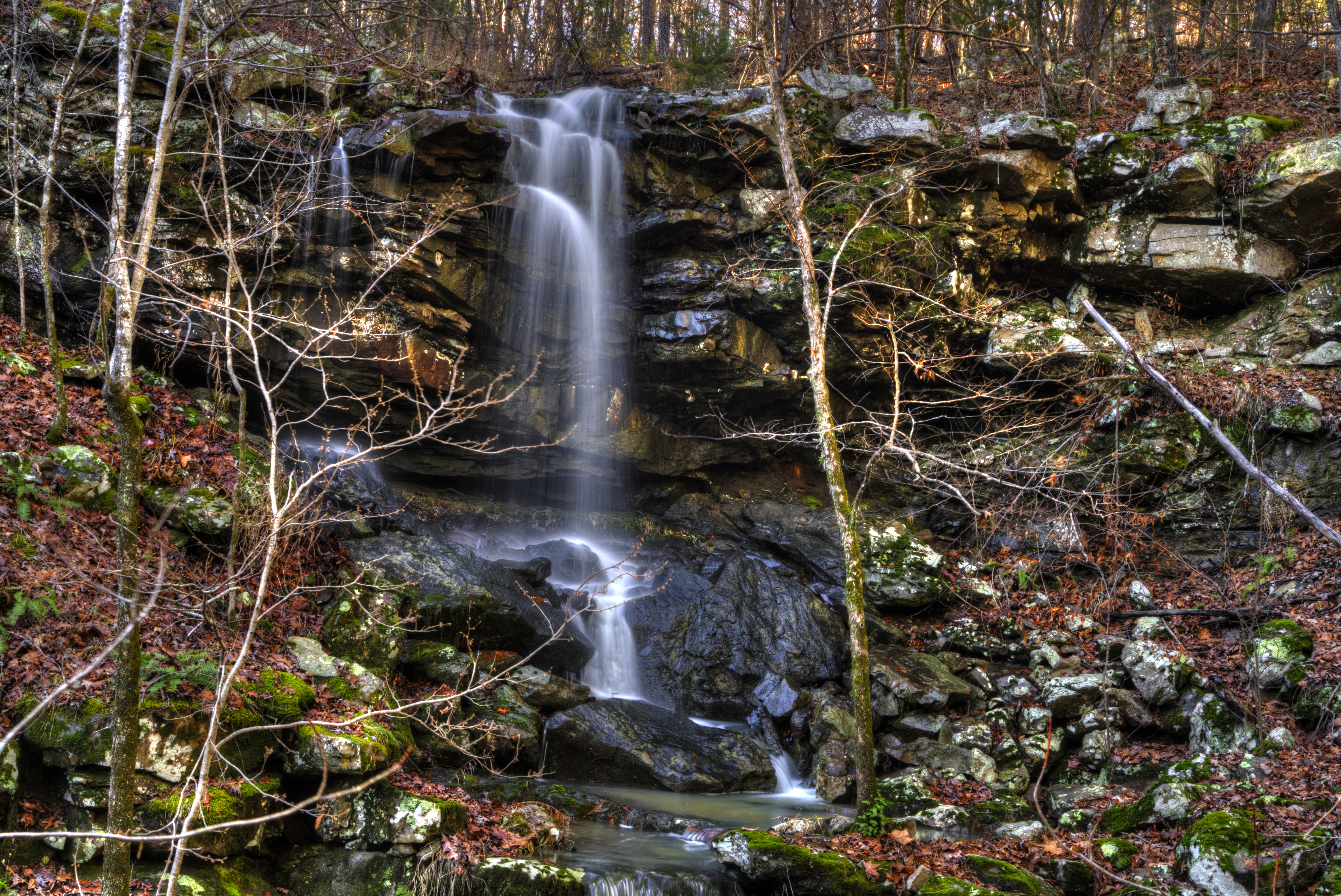
Mitchell Branch Falls
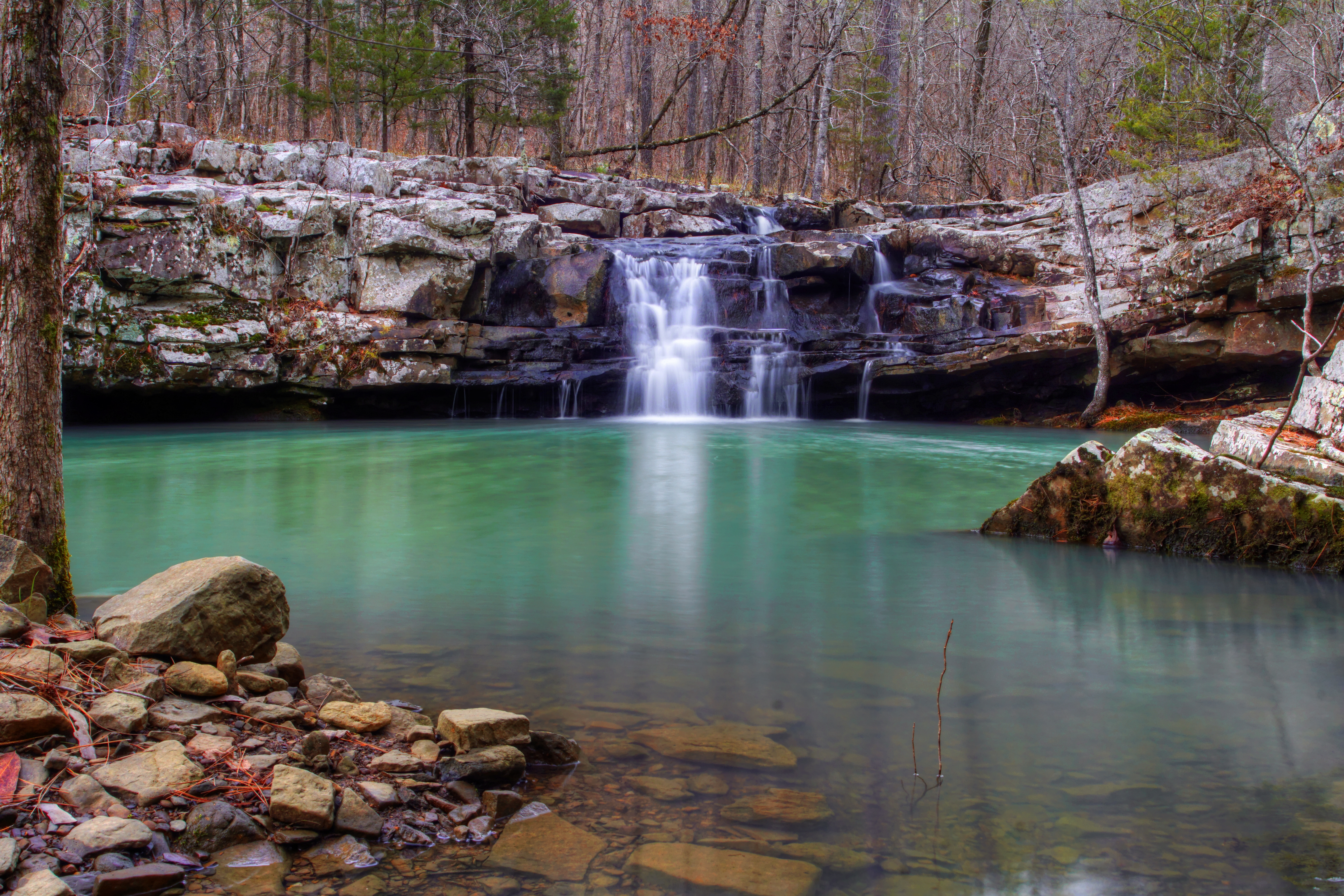
Mitchell Branch Falls
APR_0129.jpg
APR_0131.jpg
Topographic Map of Herring Township, AR, USA
Find elevation by address:

Places in Herring Township, AR, USA:
Places near Herring Township, AR, USA:
AR-80, Danville, AR, USA
Briggsville
AR-80, Danville, AR, USA
W State Hwy 28, Rover, AR, USA
Briggsville Township
AR-80, Danville, AR, USA
AR-80, Danville, AR, USA
Rover Township
AR-27, Rover, AR, USA
Rover
11024 Raven Rd
Danville Township
Dutch Creek Township
Havana
Main St, Havana, AR, USA
Main St, Danville, AR, USA
Danville
Riley Township
AR-27, Plainview, AR, USA
Ions Creek Township
Recent Searches:
- Elevation of Bydgoszcz, Poland
- Elevation of Bydgoszcz, Poland
- Elevation of Calais Dr, Del Mar, CA, USA
- Elevation of Placer Mine Ln, West Jordan, UT, USA
- Elevation of E 63rd St, New York, NY, USA
- Elevation of Elk City, OK, USA
- Elevation of Erika Dr, Windsor, CA, USA
- Elevation of Village Ln, Finleyville, PA, USA
- Elevation of 24 Oakland Rd #, Scotland, ON N0E 1R0, Canada
- Elevation of Deep Gap Farm Rd E, Mill Spring, NC, USA