Elevation of Danville, AR, USA
Location: United States > Arkansas > Yell County > Danville Township >
Longitude: -93.393518
Latitude: 35.0539792
Elevation: 106m / 348feet
Barometric Pressure: 100KPa
Elevation Map:
Satellite Map:
Related Photos:
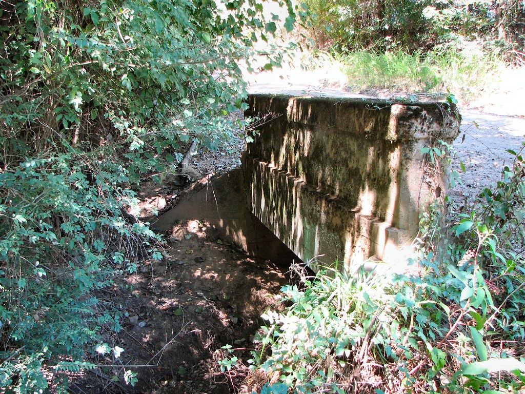
Cane Island Slough-Side View

Achmun Creek-Side View
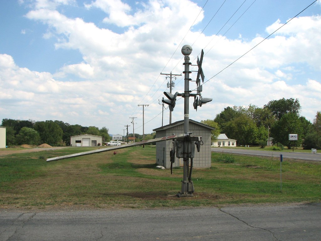
Belleville Railroad-South Signal
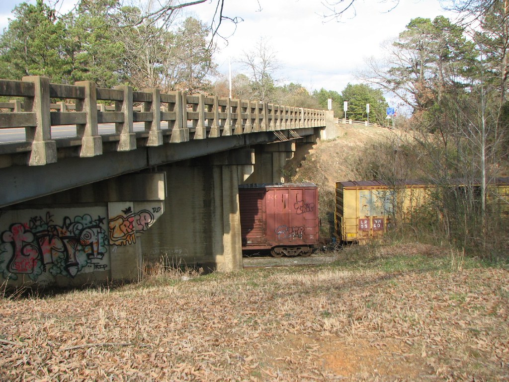
Ola Overpass- Side View
P1010313.jpg
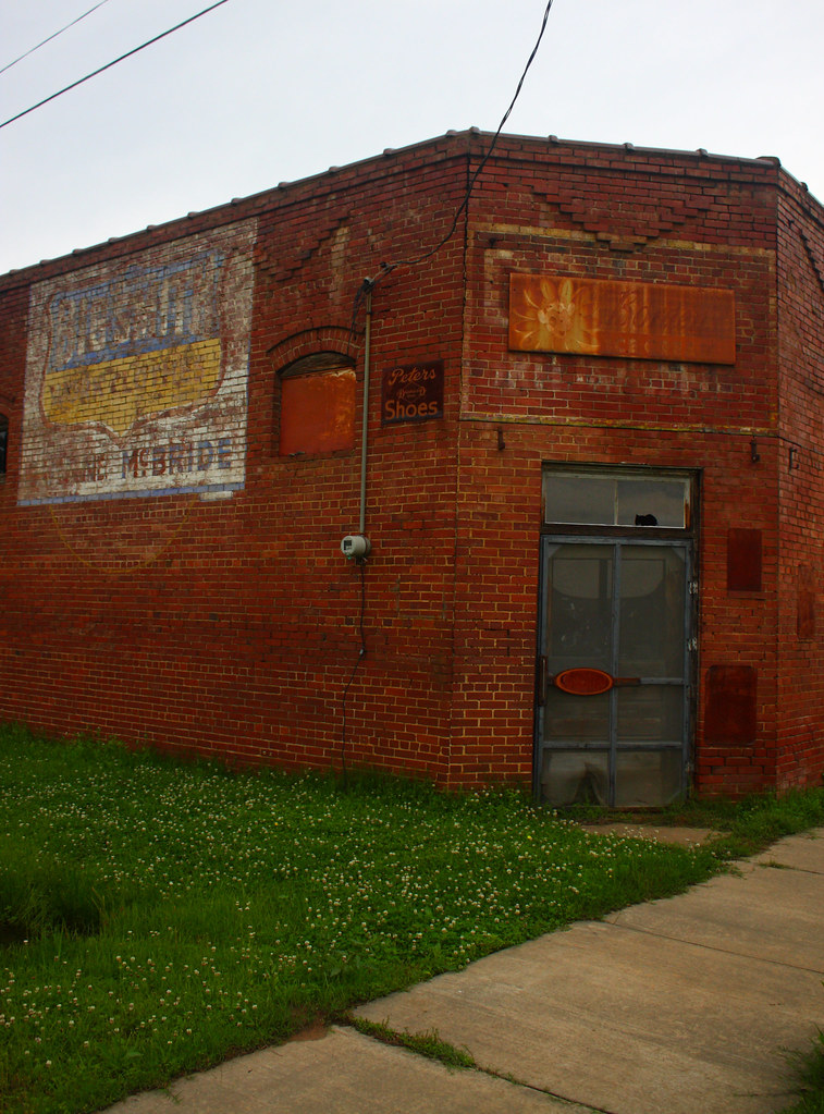
havana days
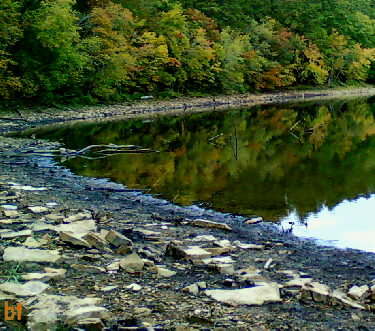
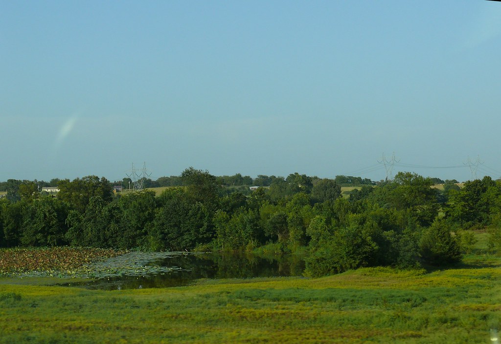
Spring Lake 10.05.11
Downstream of Spring Lake
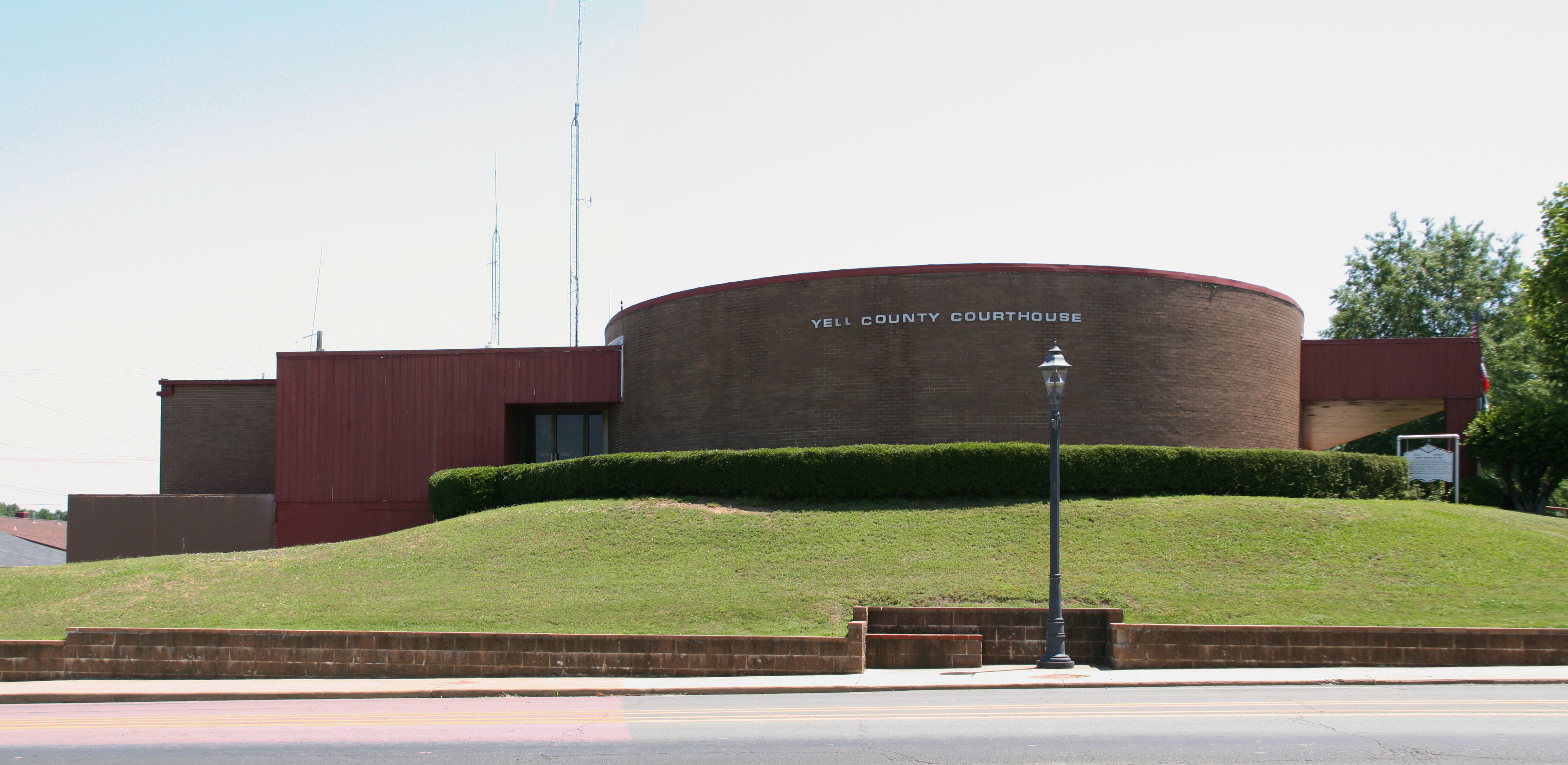
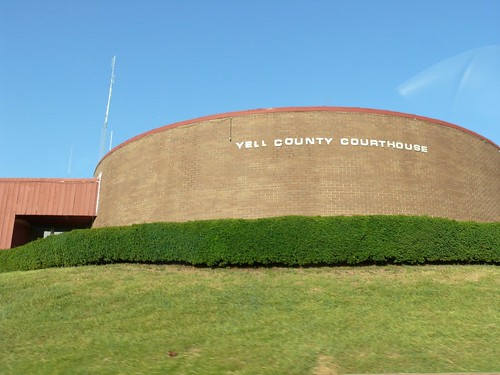
Yell County courthouse
P1010311.jpg
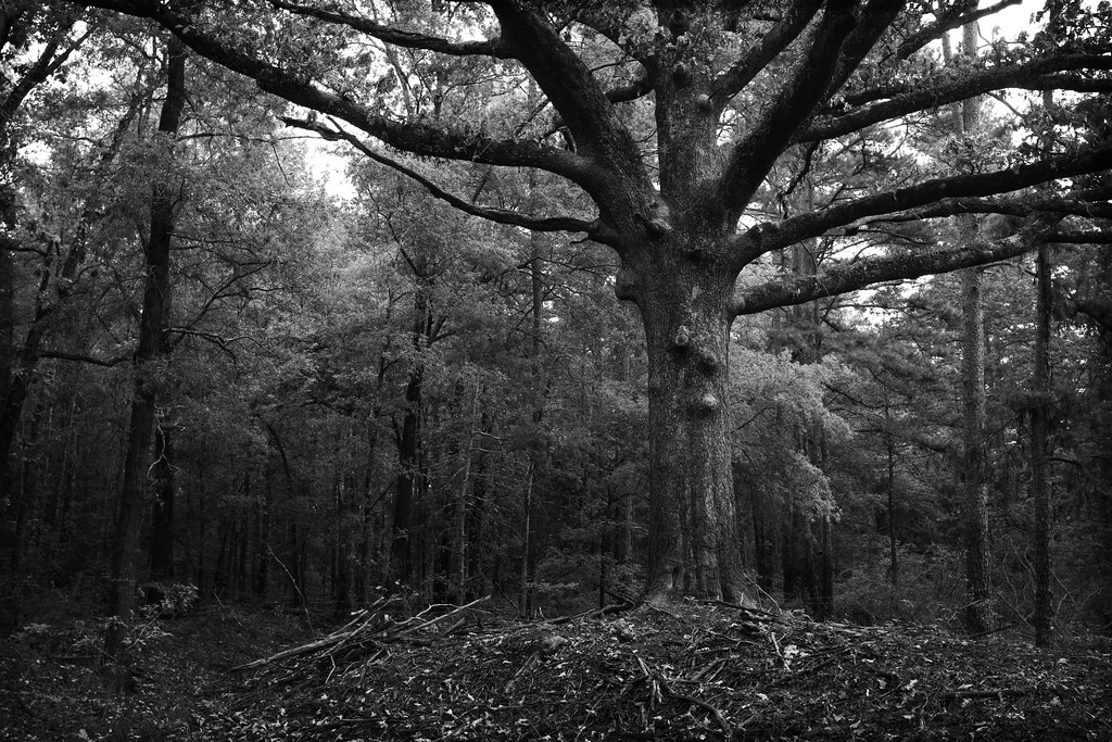
and the trees are all kept equal by hatchet, axe, and saw

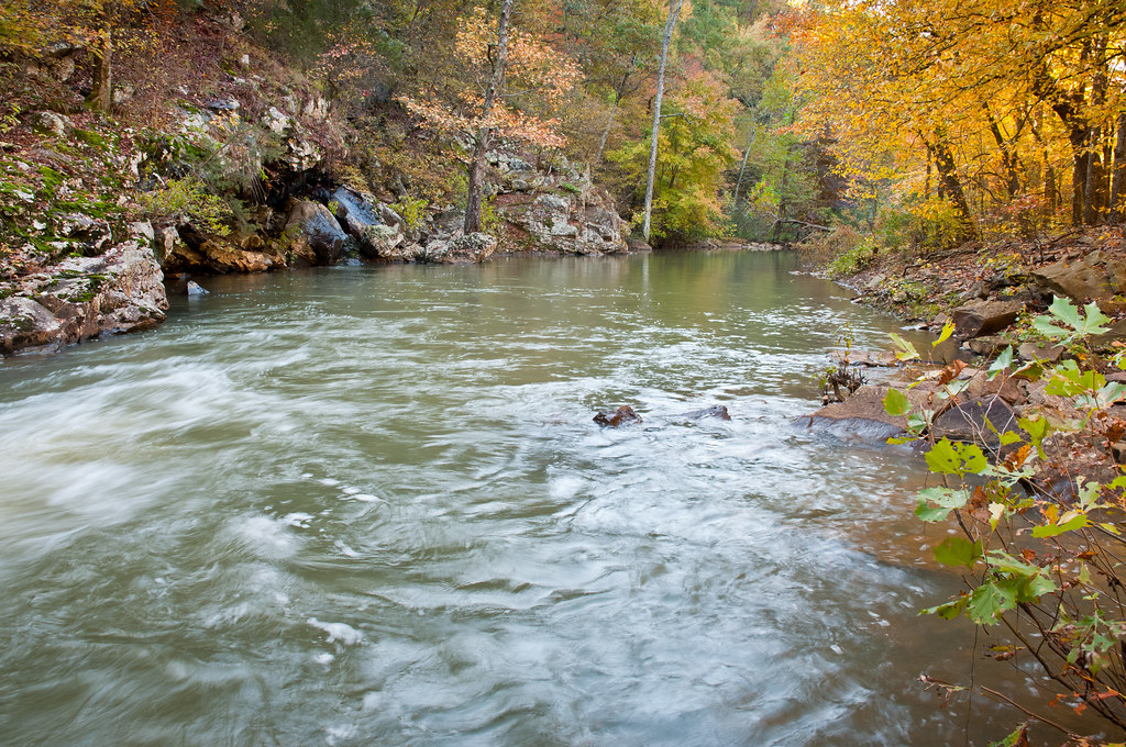
Petit Jean

Petit Jean

2016-09-03-13-39-02
Topographic Map of Danville, AR, USA
Find elevation by address:

Places in Danville, AR, USA:
Places near Danville, AR, USA:
Main St, Danville, AR, USA
Danville Township
Yell County
11024 Raven Rd
Lower Springs Road
Prairie Township
AR-80, Danville, AR, USA
AR-10, Danville, AR, USA
N Broadway Ave, Plainview, AR, USA
Plainview
AR-, Danville, AR, USA
AR-80, Danville, AR, USA
Magazine Township
AR-28, Danville, AR, USA
Ward Township
4th St, Ola, AR, USA
Ola
Centerville Township
AR-7, Danville, AR, USA
AR-, Dardanelle, AR, USA
Recent Searches:
- Elevation of State St, Zanesville, OH, USA
- Elevation of Austin Stone Dr, Haslet, TX, USA
- Elevation of Bydgoszcz, Poland
- Elevation of Bydgoszcz, Poland
- Elevation of Calais Dr, Del Mar, CA, USA
- Elevation of Placer Mine Ln, West Jordan, UT, USA
- Elevation of E 63rd St, New York, NY, USA
- Elevation of Elk City, OK, USA
- Elevation of Erika Dr, Windsor, CA, USA
- Elevation of Village Ln, Finleyville, PA, USA