Elevation of 4th St, Ola, AR, USA
Location: United States > Arkansas > Yell County >
Longitude: -93.223609
Latitude: 35.0321738
Elevation: 109m / 358feet
Barometric Pressure: 100KPa
Elevation Map:
Satellite Map:
Related Photos:
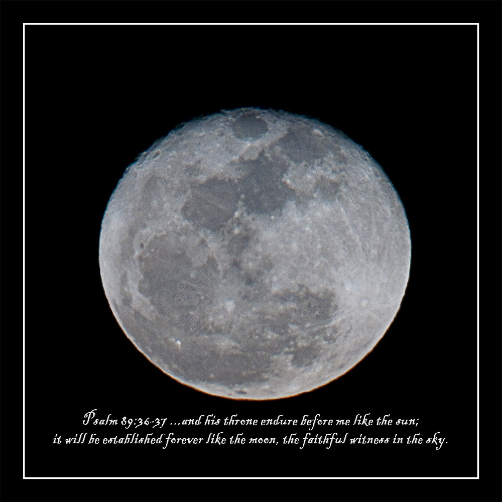
howling at the moon

Nimrod Dam
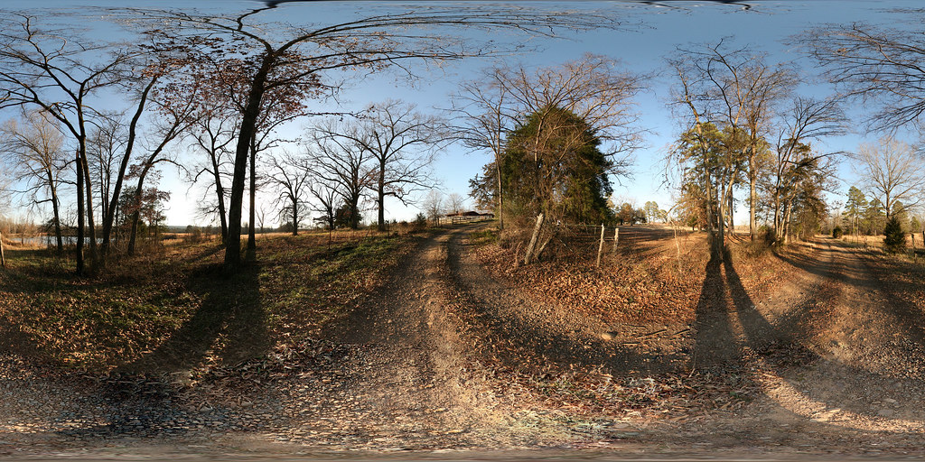
2009 01-01 Spherical Photographs in Nimrod, Arkansas
2009 01-01 Spherical Photographs in Nimrod, Arkansas

2009 01-01 Spherical Photographs in Nimrod, Arkansas
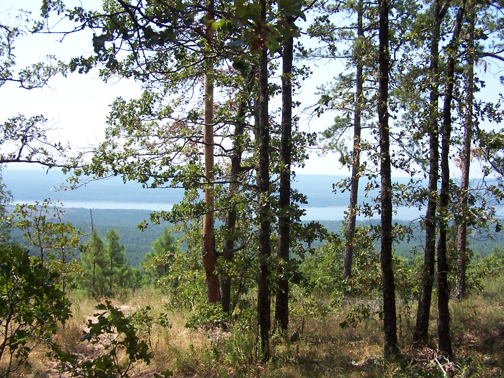
Distant view of Nimrod lake through the trees
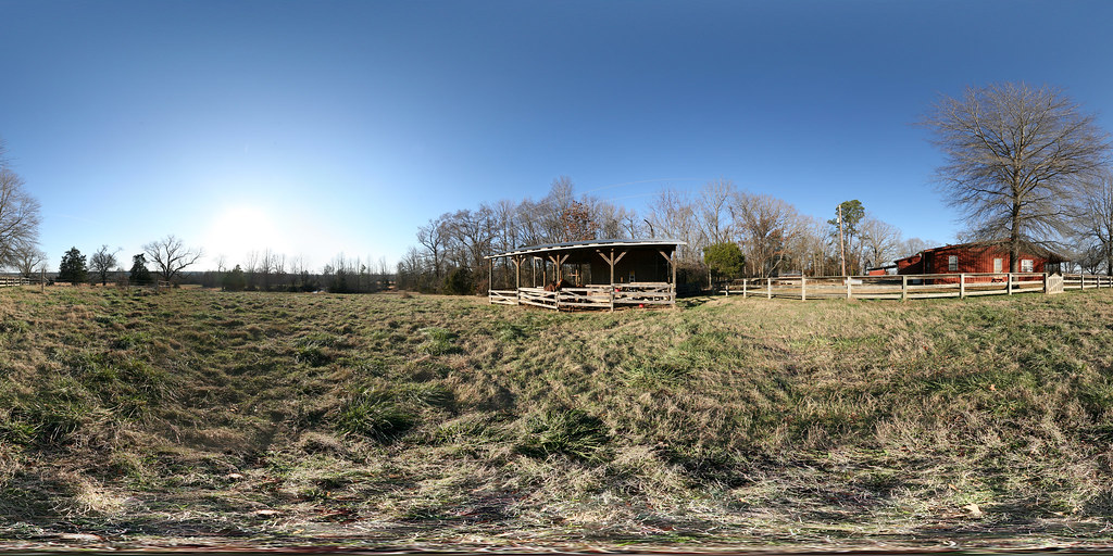
2009 01-01 Spherical Photographs in Nimrod, Arkansas
Cane Island Slough-Side View

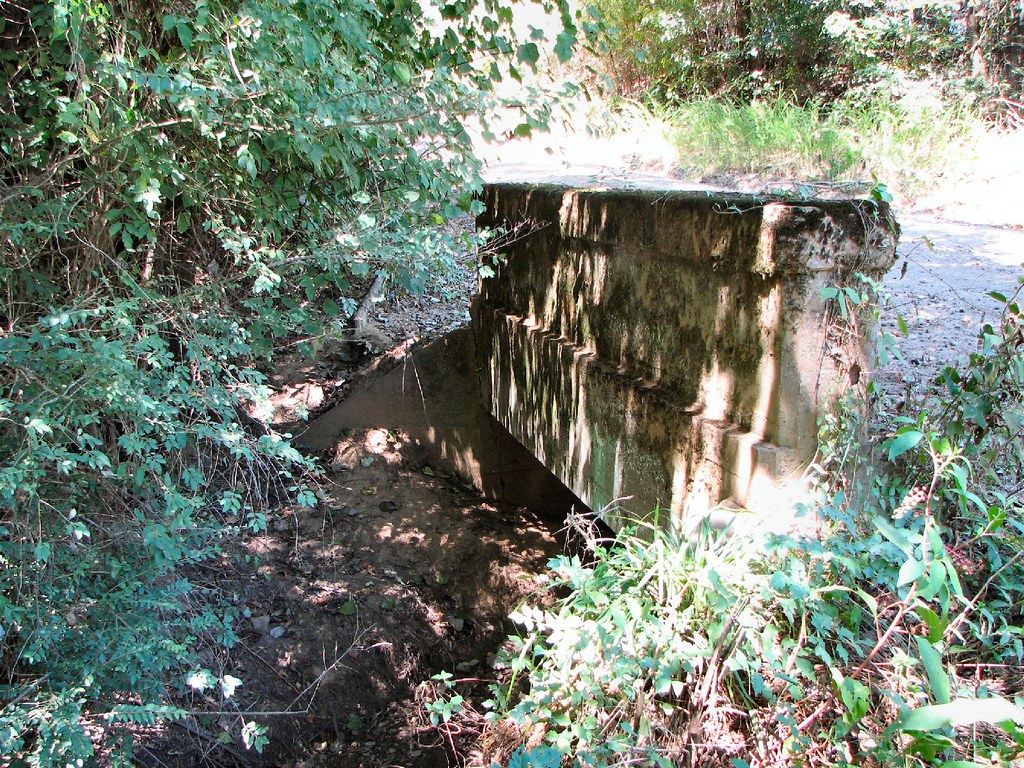
Achmun Creek-Side View
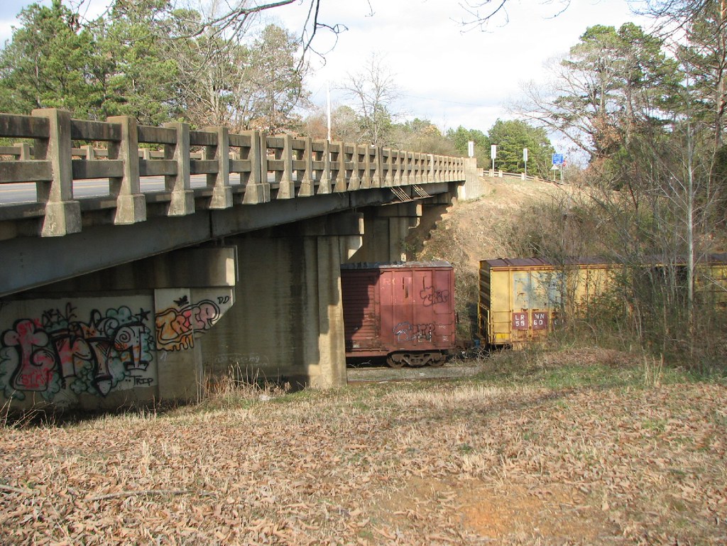
Ola Overpass- Side View
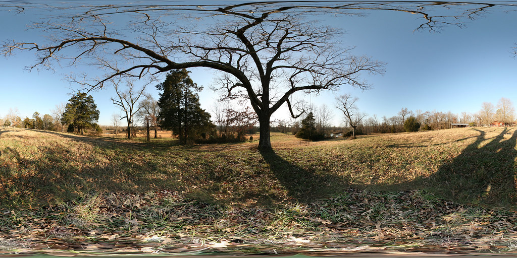
2009 01-01 Spherical Photographs in Nimrod, Arkansas
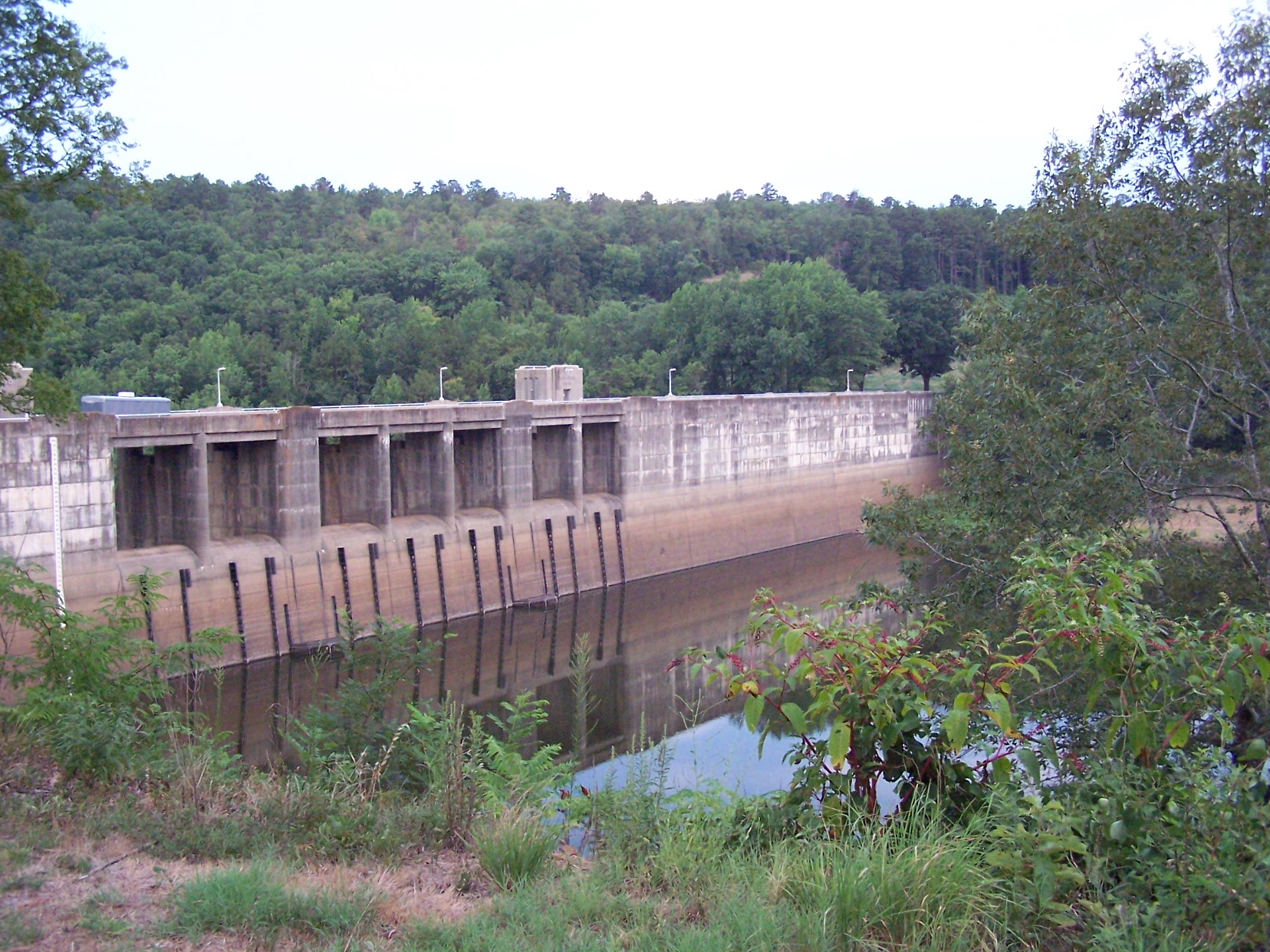
Another view of Nirmod Dam
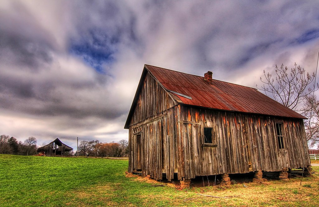
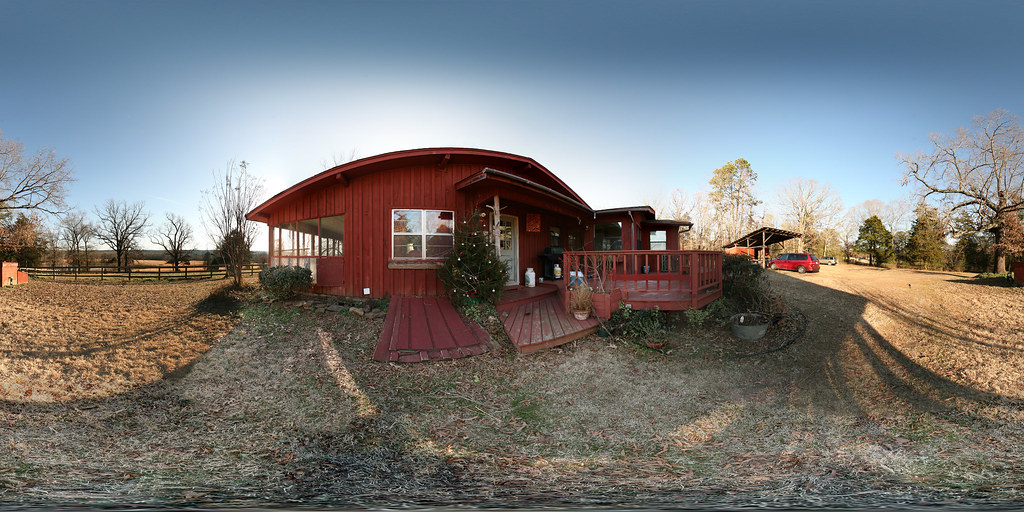
Liberty Hall, Arkansas

Sunset from Nimrod Dam
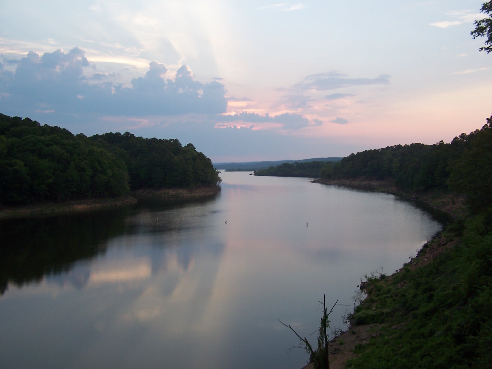
Nimrod Lake at sunset
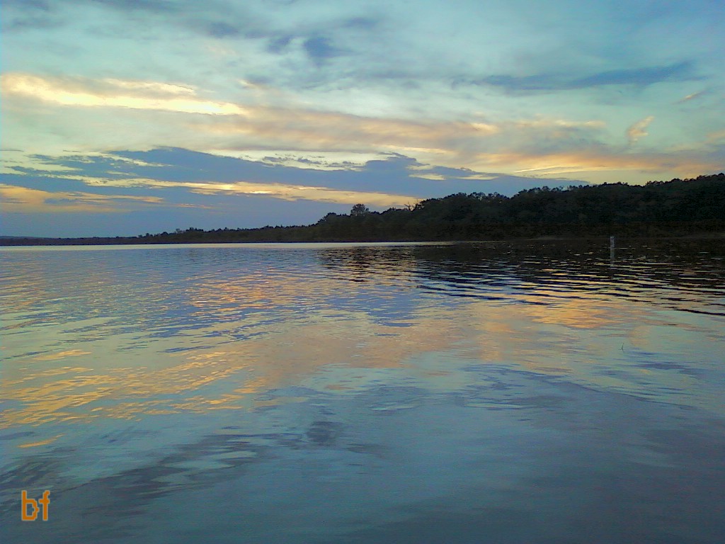
Sunset at Nimrod Lake

Sunset at Nimrod Lake
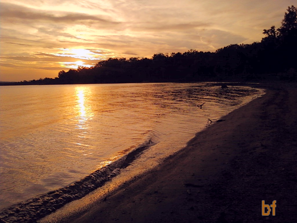
Sunset at Nimrod Lake
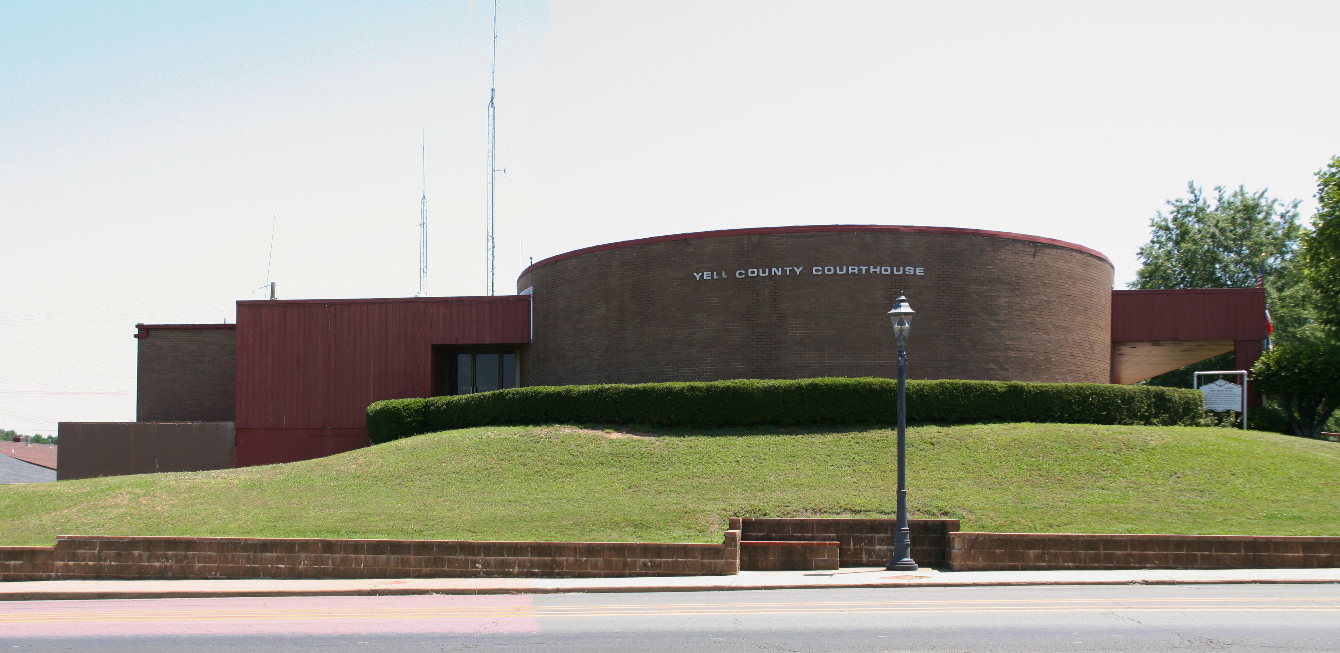
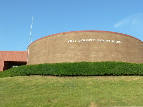
Yell County courthouse
P1010311.jpg
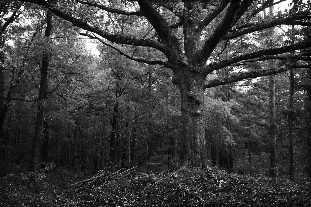
and the trees are all kept equal by hatchet, axe, and saw
Topographic Map of 4th St, Ola, AR, USA
Find elevation by address:

Places near 4th St, Ola, AR, USA:
Ola
Ward Township
AR-10, Danville, AR, USA
AR-7, Danville, AR, USA
Centerville Township
AR-28, Danville, AR, USA
N Broadway Ave, Plainview, AR, USA
Plainview
AR-, Dardanelle, AR, USA
AR-, Danville, AR, USA
Magazine Township
Yell County
Prairie Township
Danville
Main St, Danville, AR, USA
11024 Raven Rd
Lower Springs Road
Danville Township
AR-80, Danville, AR, USA
AR-80, Danville, AR, USA
Recent Searches:
- Elevation of Congressional Dr, Stevensville, MD, USA
- Elevation of Bellview Rd, McLean, VA, USA
- Elevation of Stage Island Rd, Chatham, MA, USA
- Elevation of Shibuya Scramble Crossing, 21 Udagawacho, Shibuya City, Tokyo -, Japan
- Elevation of Jadagoniai, Kaunas District Municipality, Lithuania
- Elevation of Pagonija rock, Kranto 7-oji g. 8"N, Kaunas, Lithuania
- Elevation of Co Rd 87, Jamestown, CO, USA
- Elevation of Tenjo, Cundinamarca, Colombia
- Elevation of Côte-des-Neiges, Montreal, QC H4A 3J6, Canada
- Elevation of Bobcat Dr, Helena, MT, USA