Elevation of AR-10, Danville, AR, USA
Location: United States > Arkansas > Yell County > Danville Township > Danville >
Longitude: -93.284040
Latitude: 35.0671488
Elevation: 103m / 338feet
Barometric Pressure: 100KPa
Elevation Map:
Satellite Map:
Related Photos:
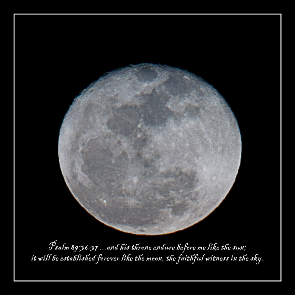
howling at the moon
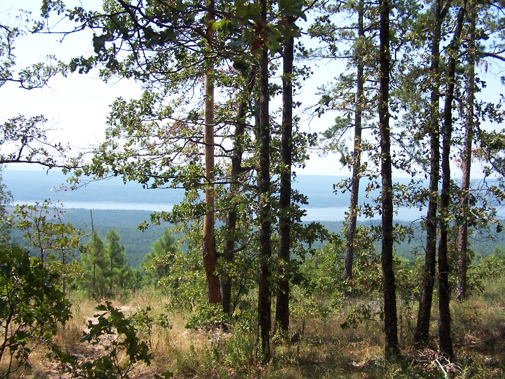
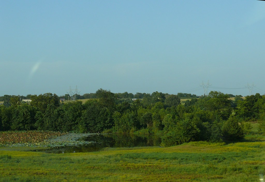
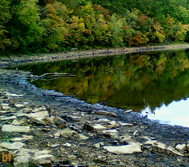
Distant view of Nimrod lake through the trees
Cane Island Slough-Side View

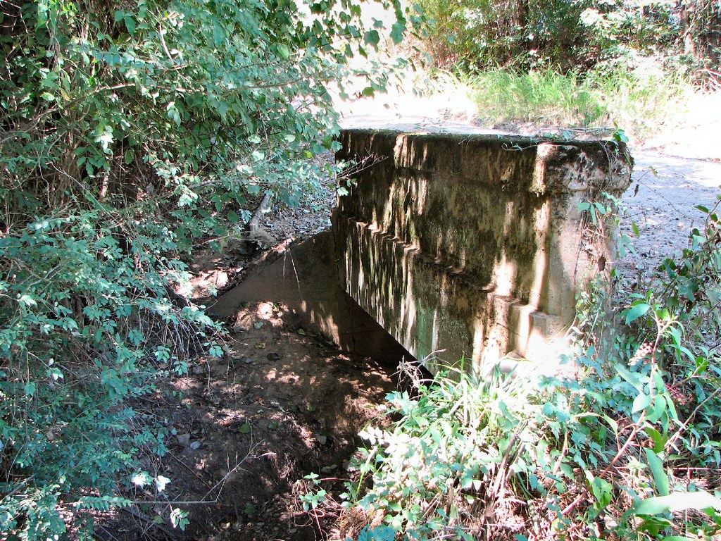
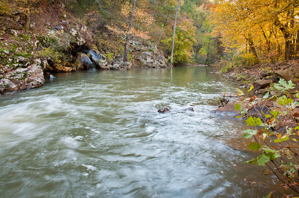
Achmun Creek-Side View
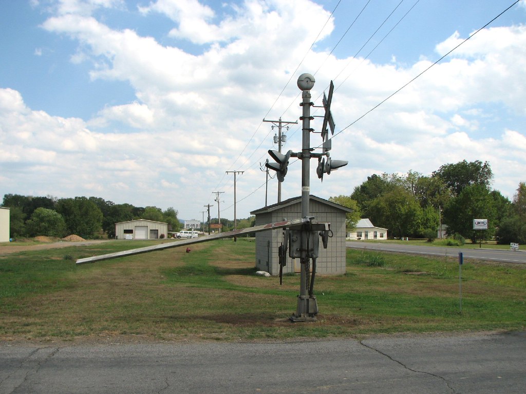
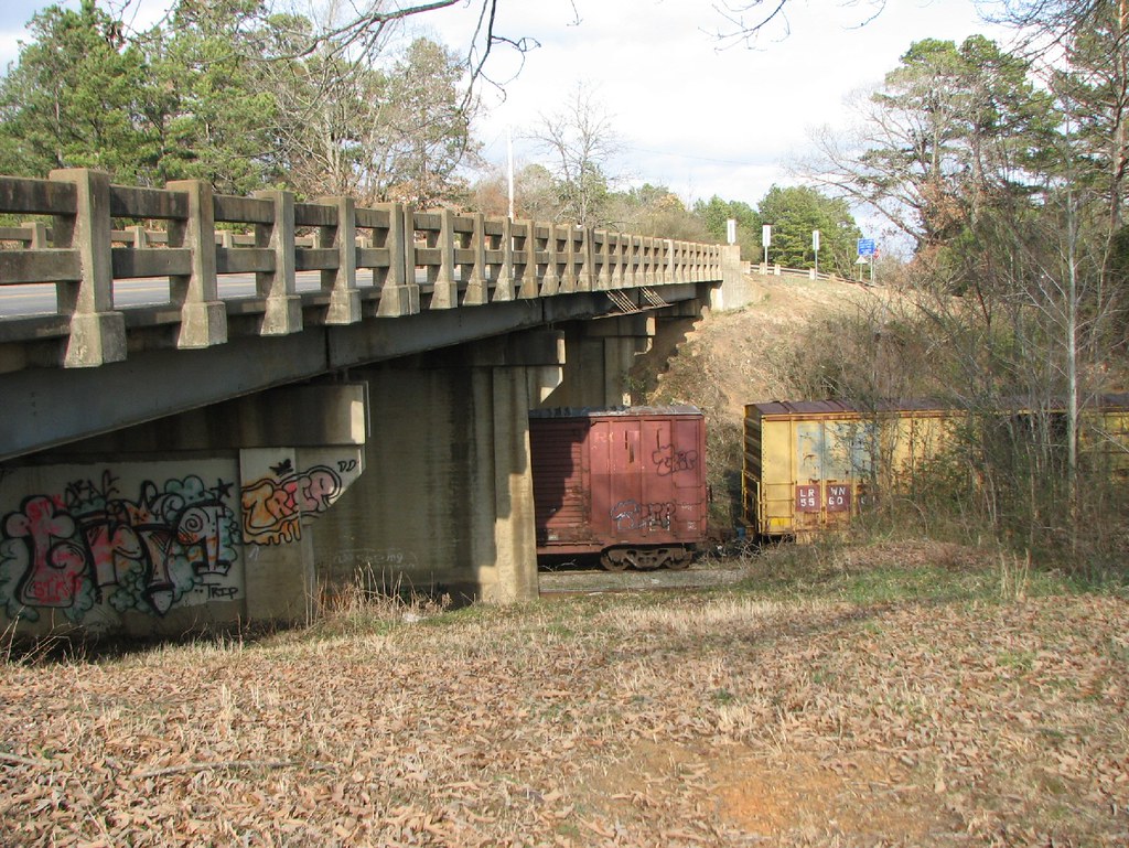
Belleville Railroad-South Signal
Ola Overpass- Side View
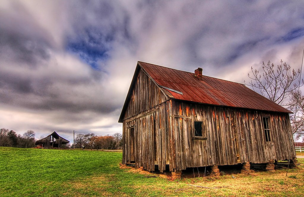
Liberty Hall, Arkansas

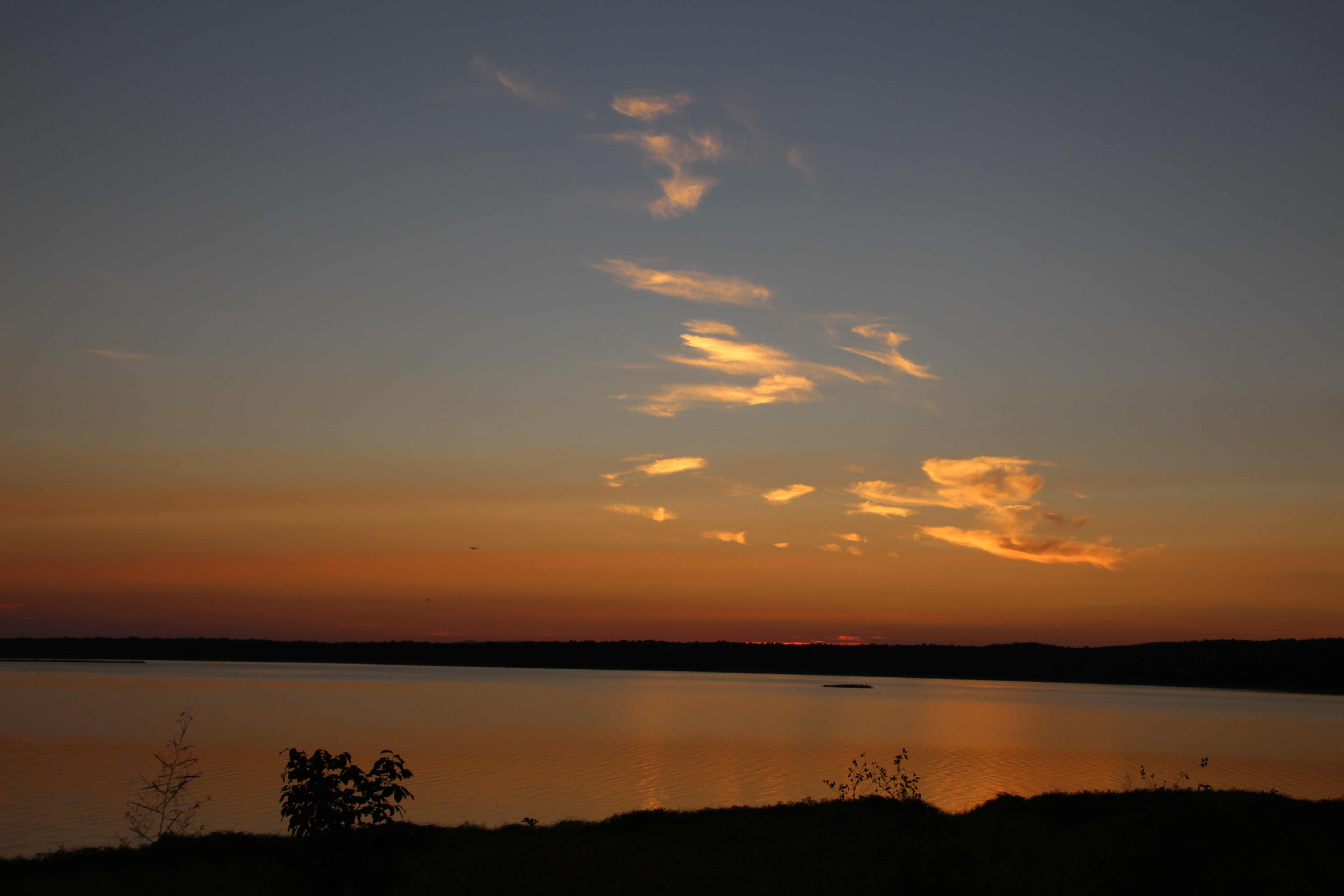
Sunset at Nimrod Lake

Sunset at Nimrod Lake

Petit Jean

Petit Jean

2016-09-03-19-42-05
2016-09-03-19-38-04

2016-09-03-19-33-46

Sunset at Nimrod Lake
P1010313.jpg
Spring Lake 10.05.11
Downstream of Spring Lake
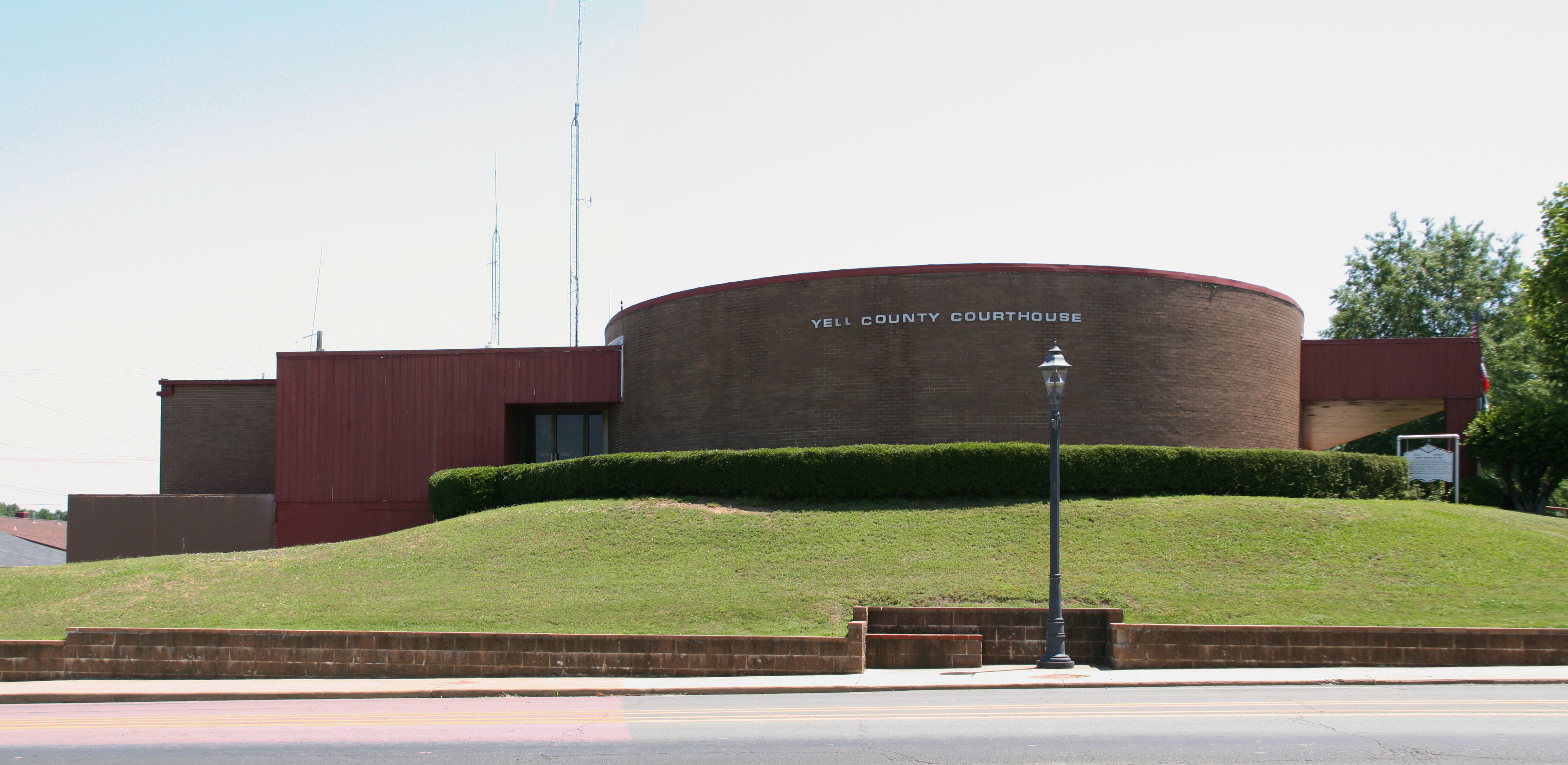
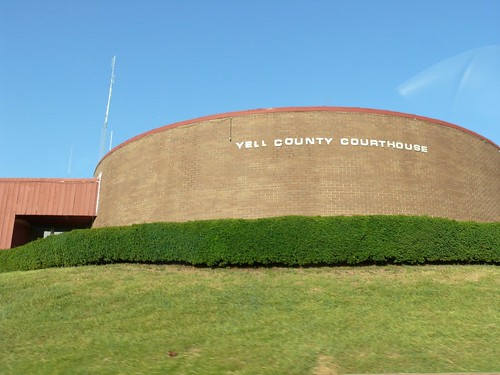
Yell County courthouse
P1010311.jpg
and the trees are all kept equal by hatchet, axe, and saw

2016-09-03-13-39-02
Topographic Map of AR-10, Danville, AR, USA
Find elevation by address:

Places near AR-10, Danville, AR, USA:
AR-, Danville, AR, USA
Yell County
Ward Township
AR-28, Danville, AR, USA
4th St, Ola, AR, USA
Ola
Magazine Township
N Broadway Ave, Plainview, AR, USA
Plainview
Prairie Township
Centerville Township
AR-7, Danville, AR, USA
Lower Springs Road
Danville
Main St, Danville, AR, USA
AR-, Dardanelle, AR, USA
Danville Township
11024 Raven Rd
AR-80, Danville, AR, USA
AR-80, Danville, AR, USA
Recent Searches:
- Elevation of Keene Point Drive, Keene Point Dr, Grant, AL, USA
- Elevation of State St, Zanesville, OH, USA
- Elevation of Austin Stone Dr, Haslet, TX, USA
- Elevation of Bydgoszcz, Poland
- Elevation of Bydgoszcz, Poland
- Elevation of Calais Dr, Del Mar, CA, USA
- Elevation of Placer Mine Ln, West Jordan, UT, USA
- Elevation of E 63rd St, New York, NY, USA
- Elevation of Elk City, OK, USA
- Elevation of Erika Dr, Windsor, CA, USA