Elevation of Dutch Creek Township, AR, USA
Location: United States > Arkansas > Yell County >
Longitude: -93.642048
Latitude: 35.0063937
Elevation: 192m / 630feet
Barometric Pressure: 99KPa
Elevation Map:
Satellite Map:
Related Photos:
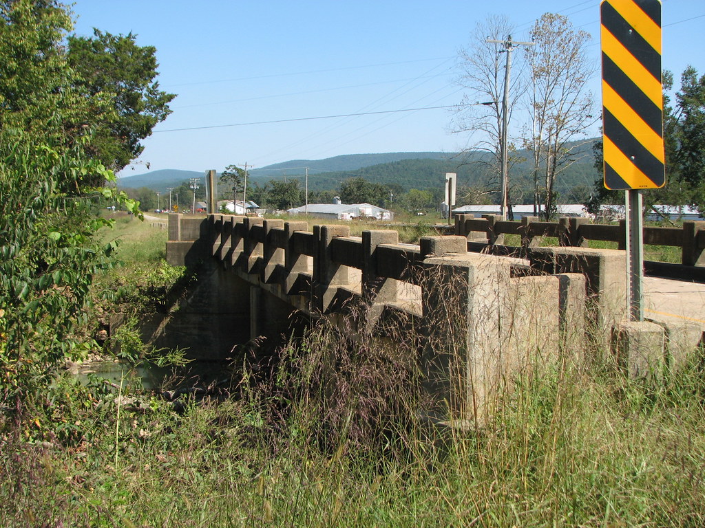
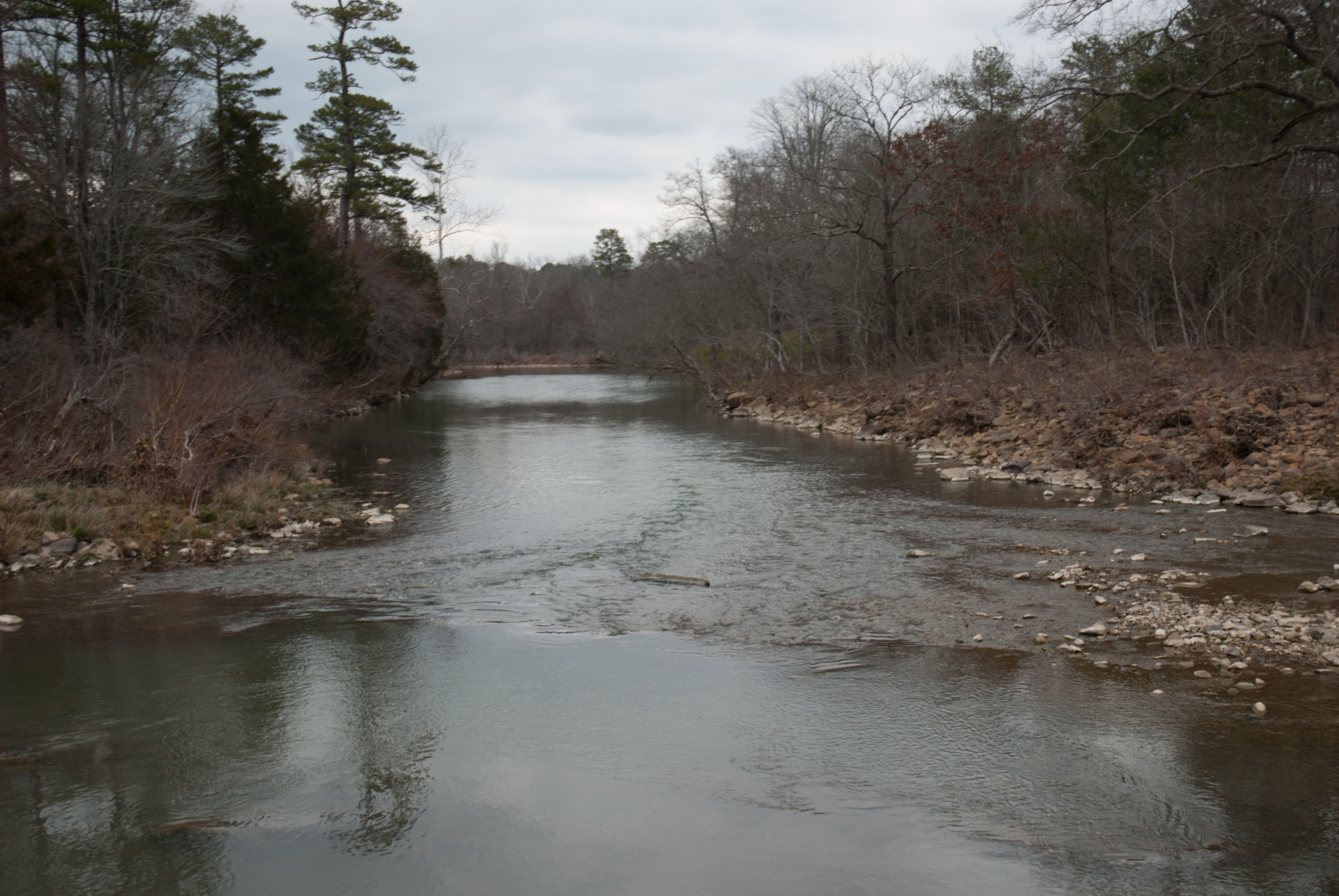
Freedom Creek-Side View
APR_0136.jpg
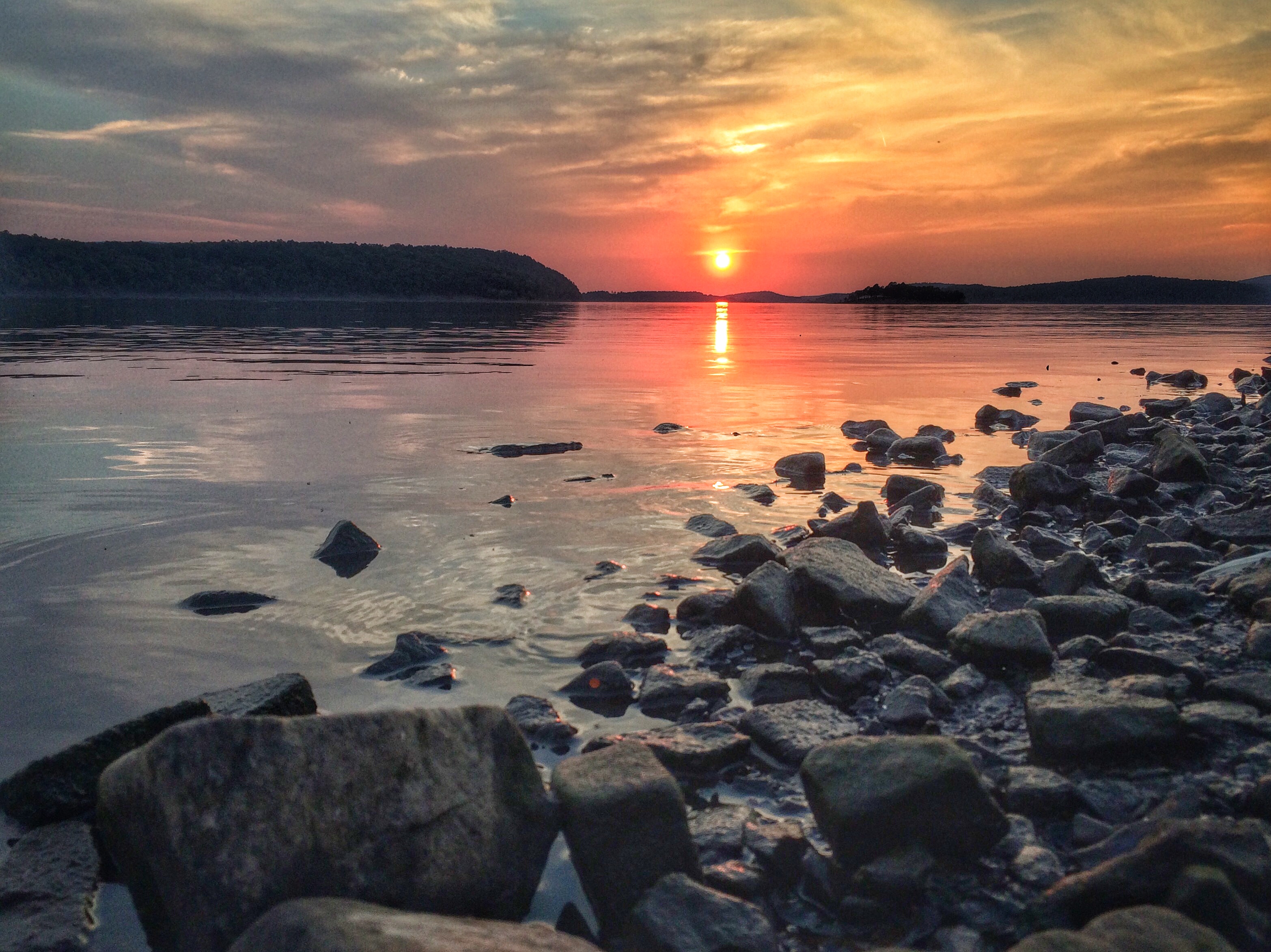
Sunset at Blue Mountain Lake
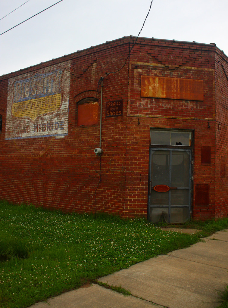
havana days
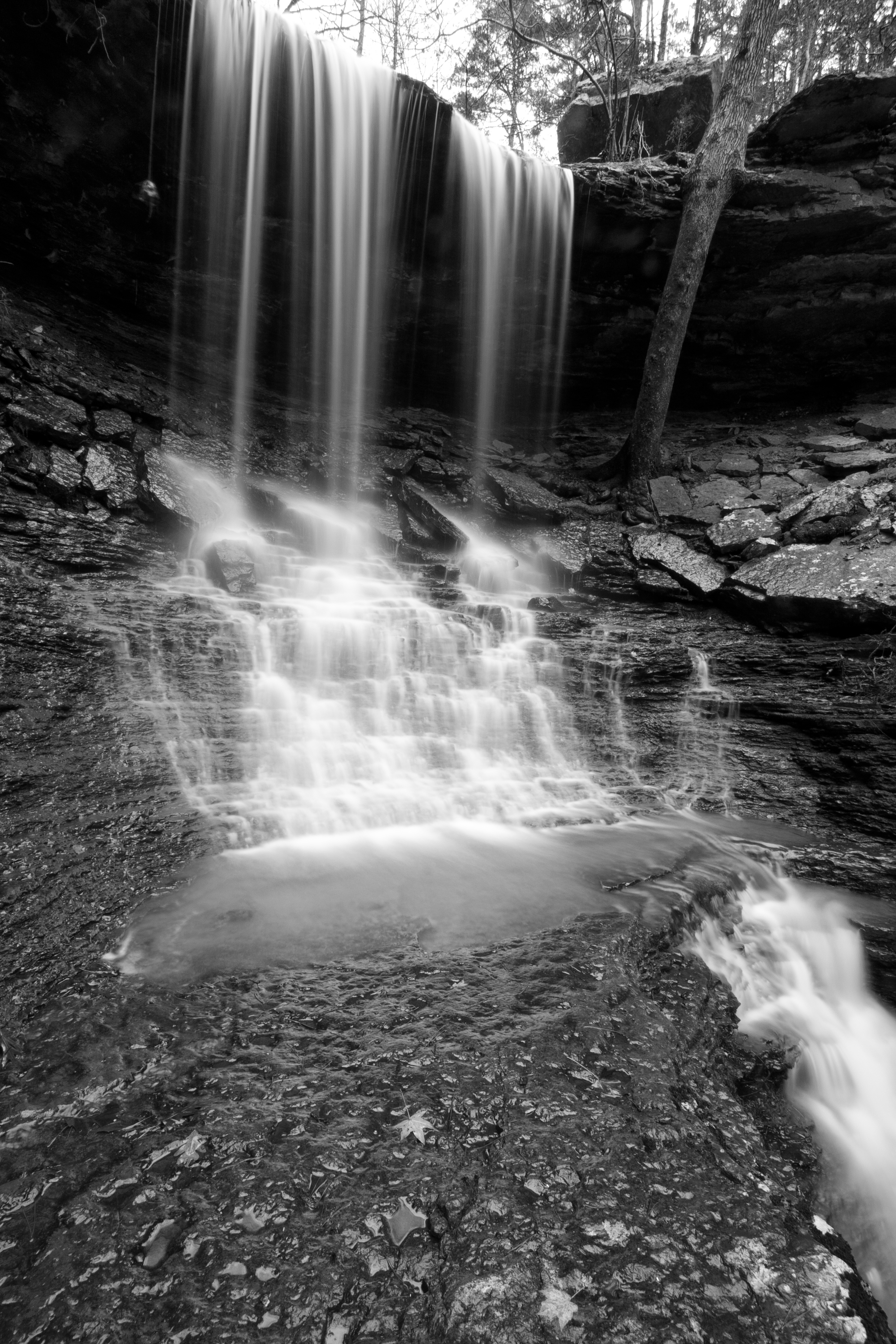
Mitchell Branch Falls 1
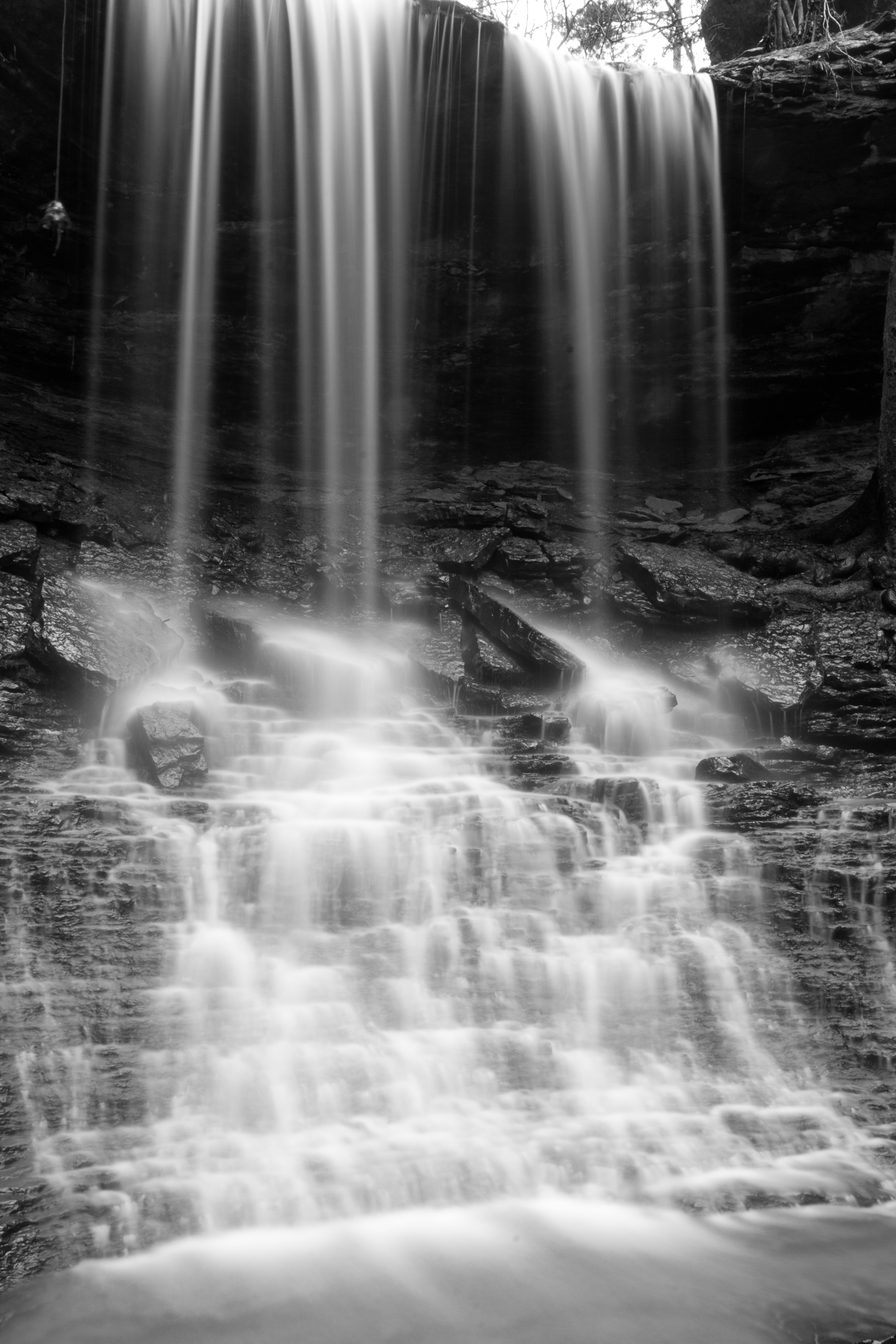
Mitchell Branch Falls 3
Mitchell Branch Falls 2
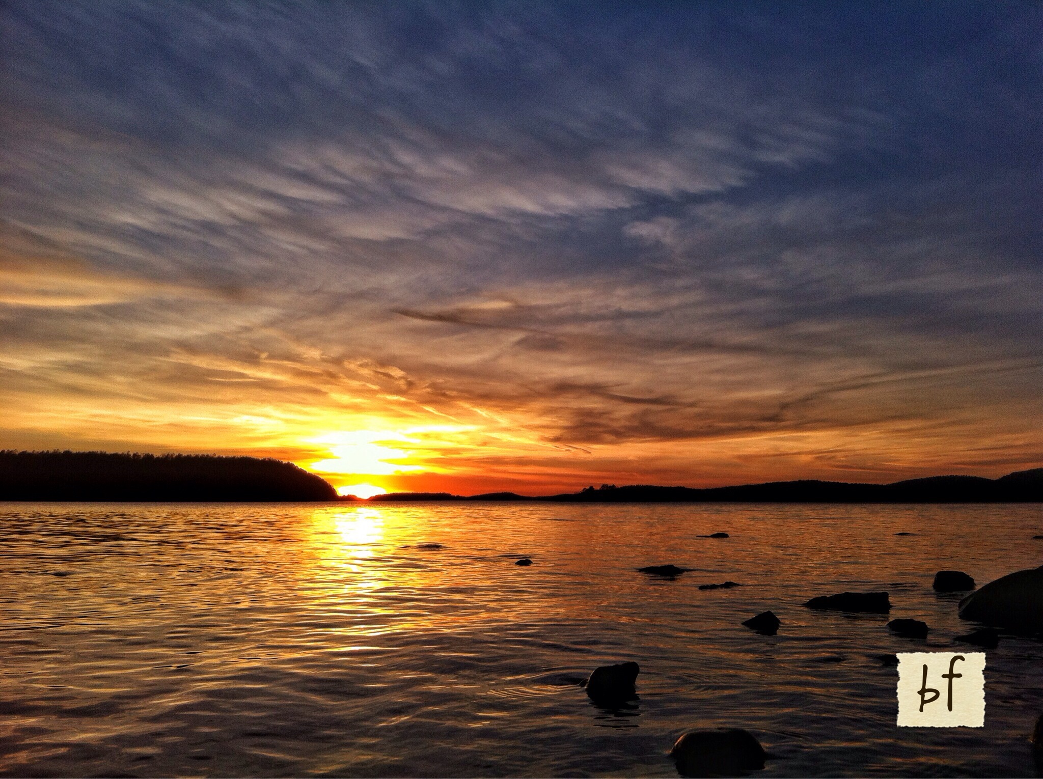
Sunset at Blue Mtn Lake 2.16.14
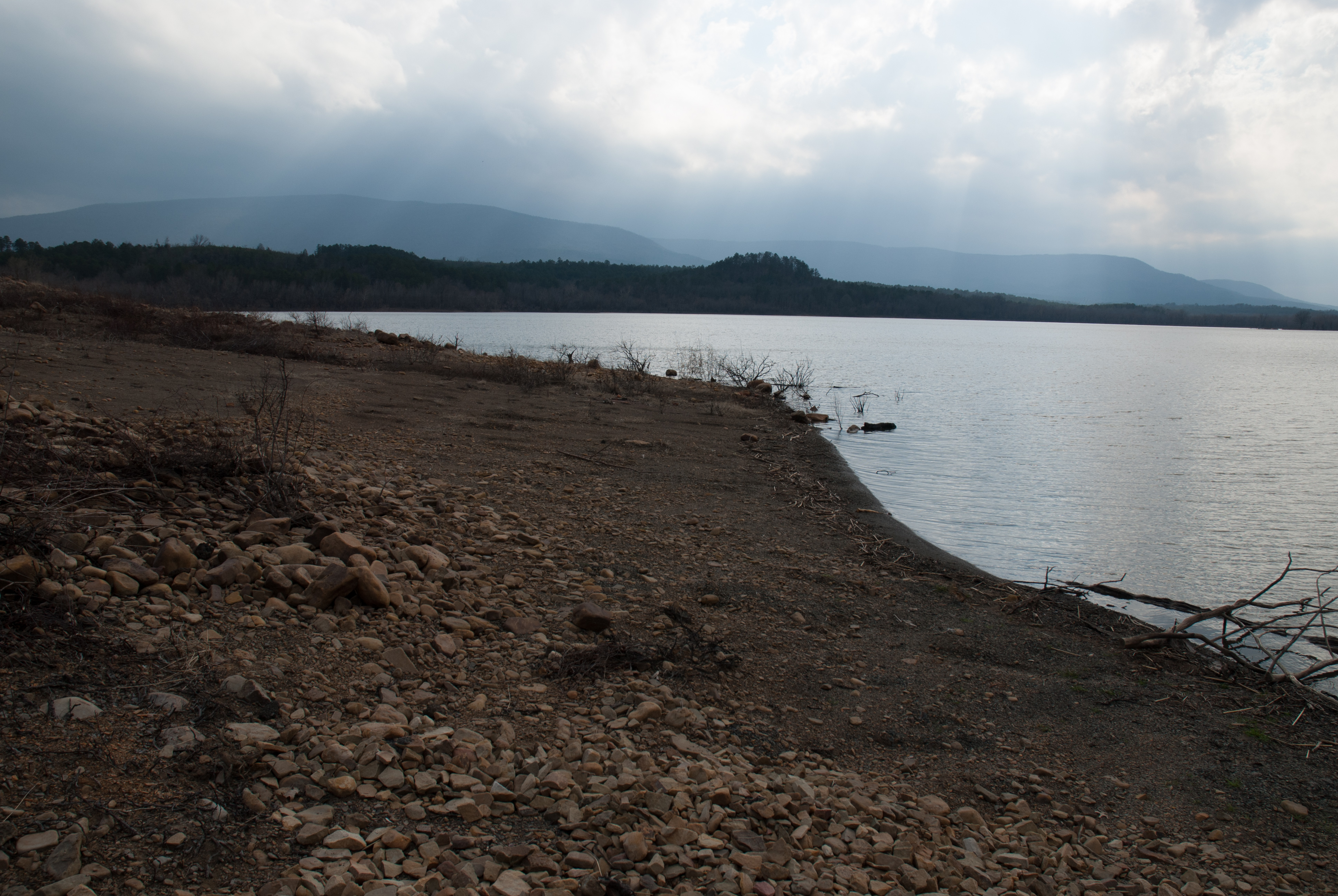
Blue Mountain Lake, Arkansas
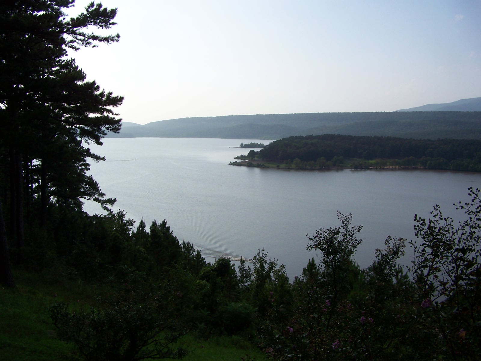
Blue Mountain Lake
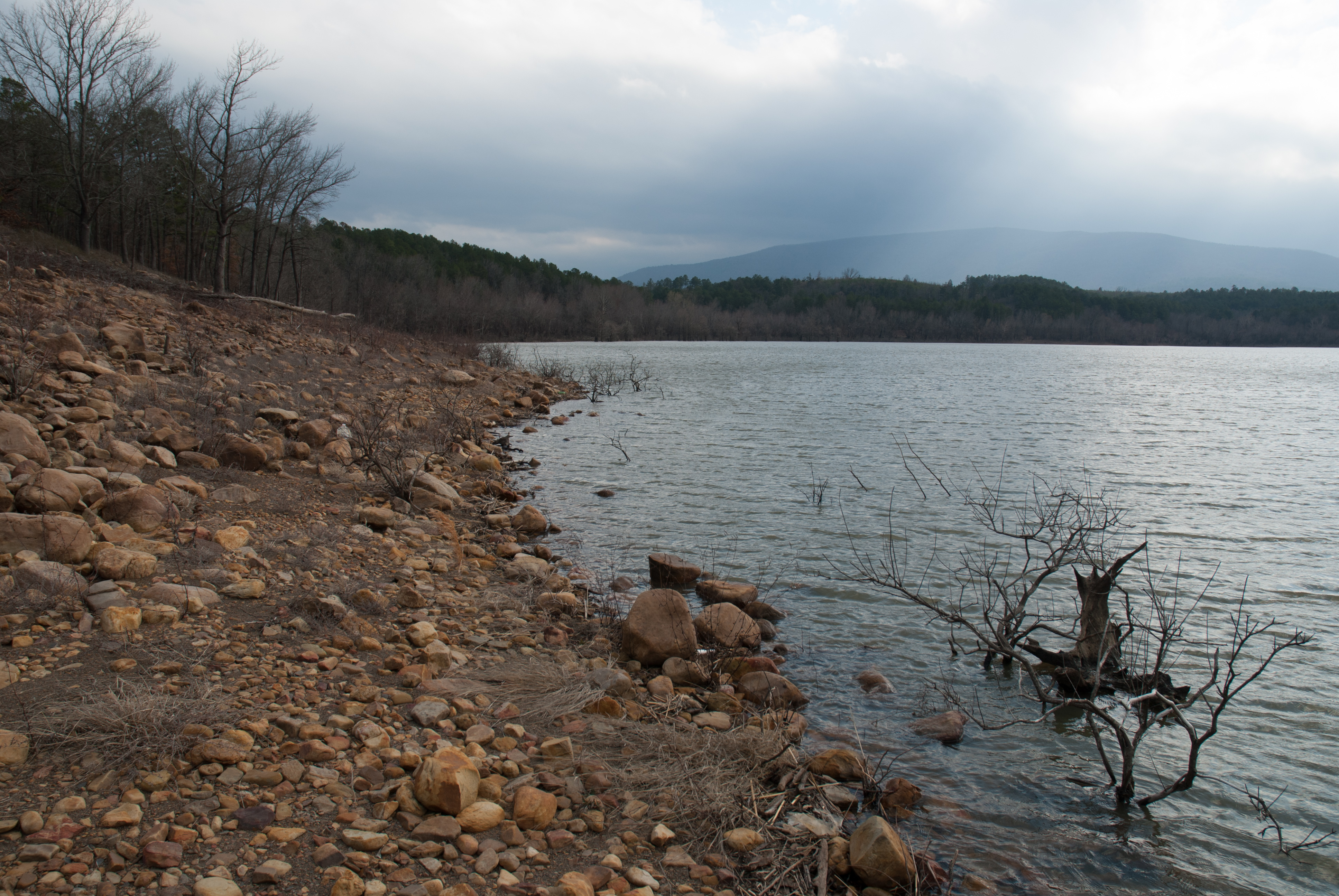
Blue Mountain Lake, Arkansas
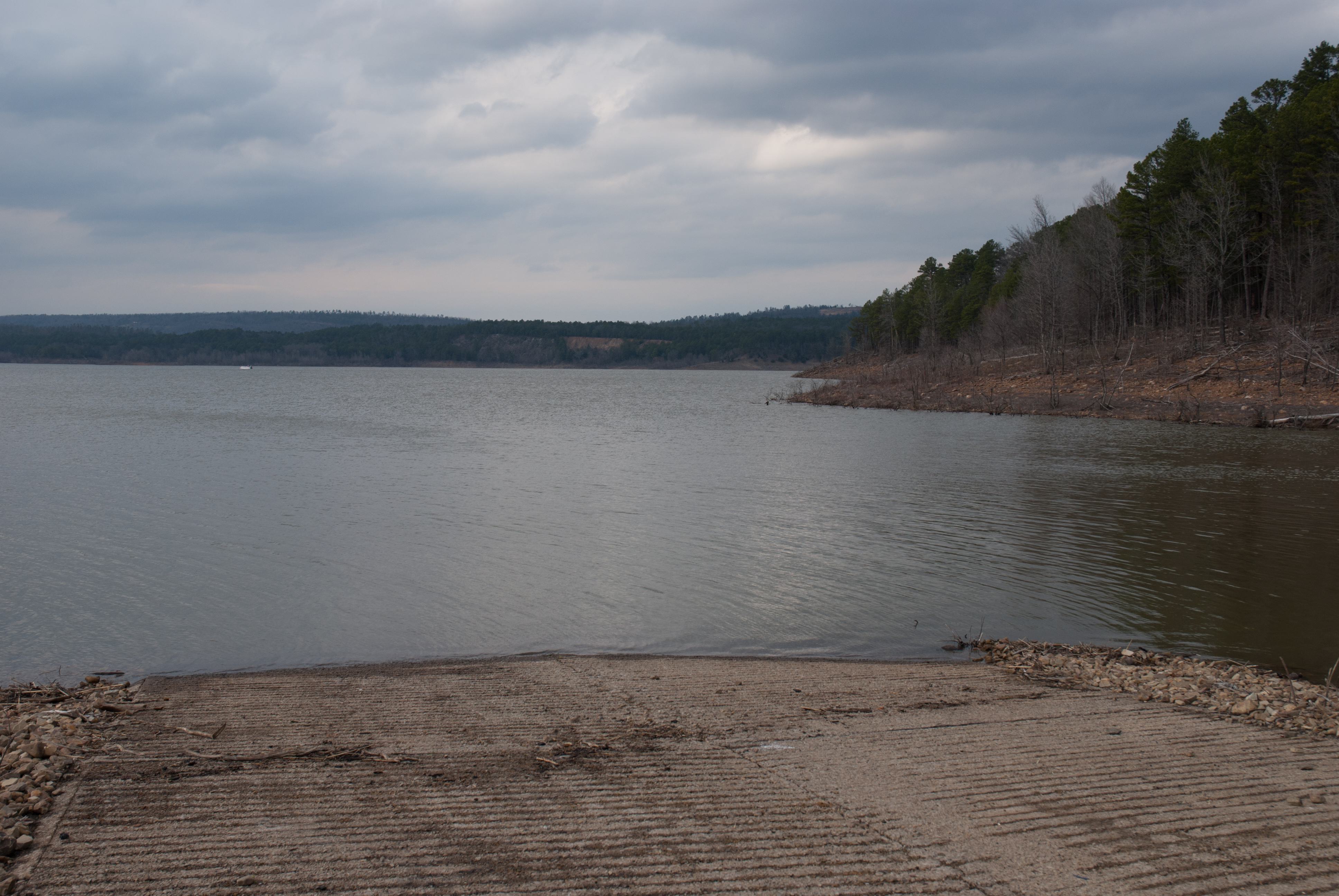
Blue Mountain Lake, Arkansas
APR_0129.jpg

Blue Mountain Lake, Arkansas
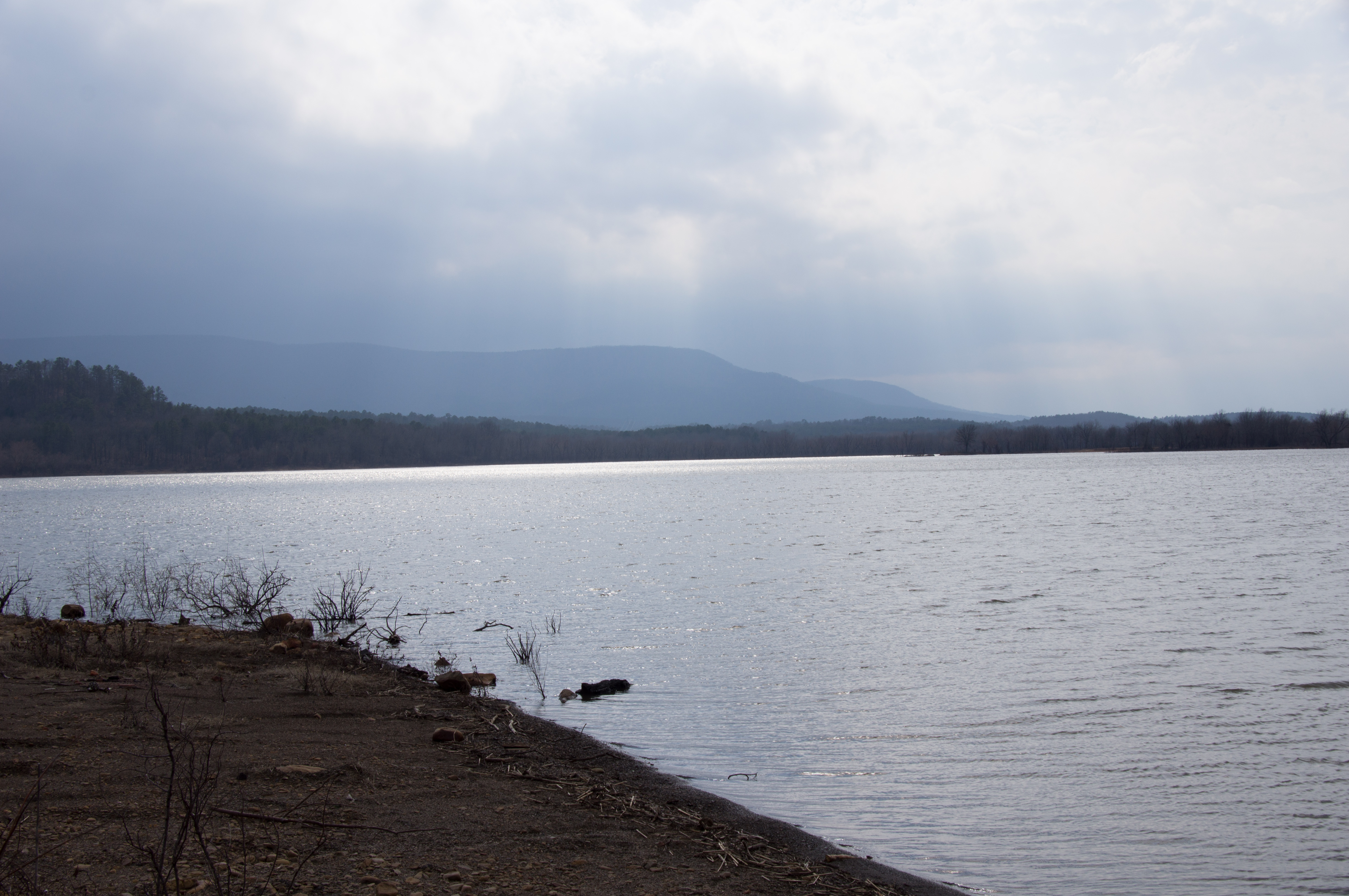
Blue Mountain Lake, Arkansas
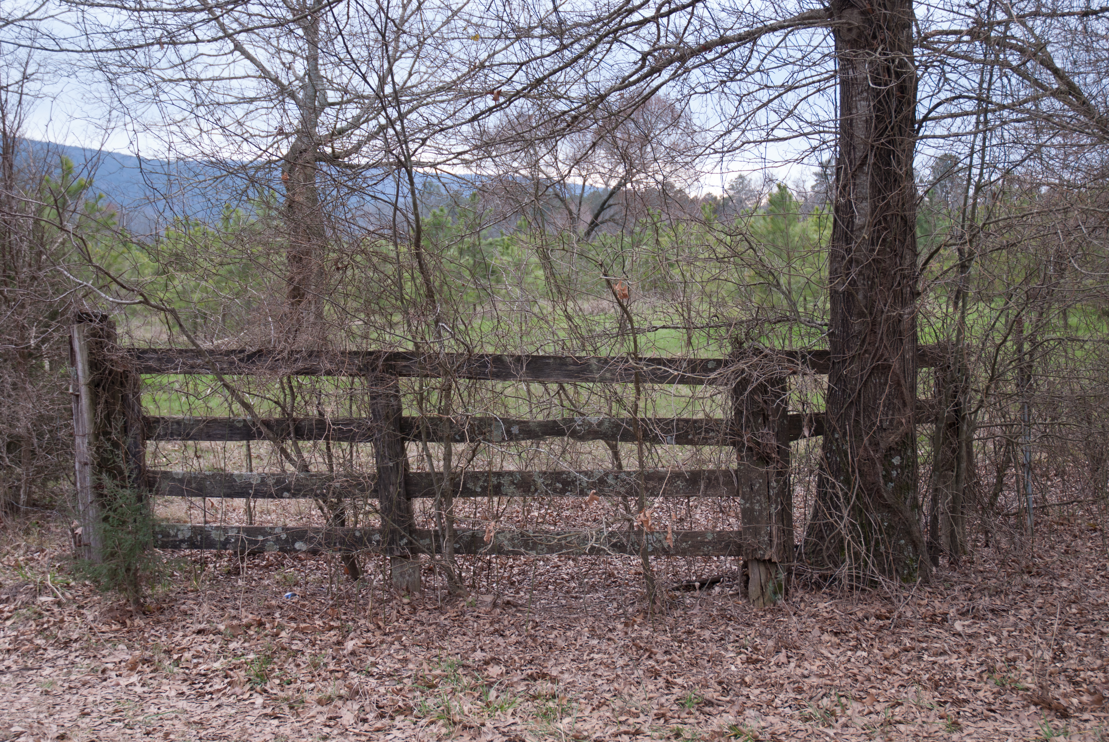
APR_0131.jpg
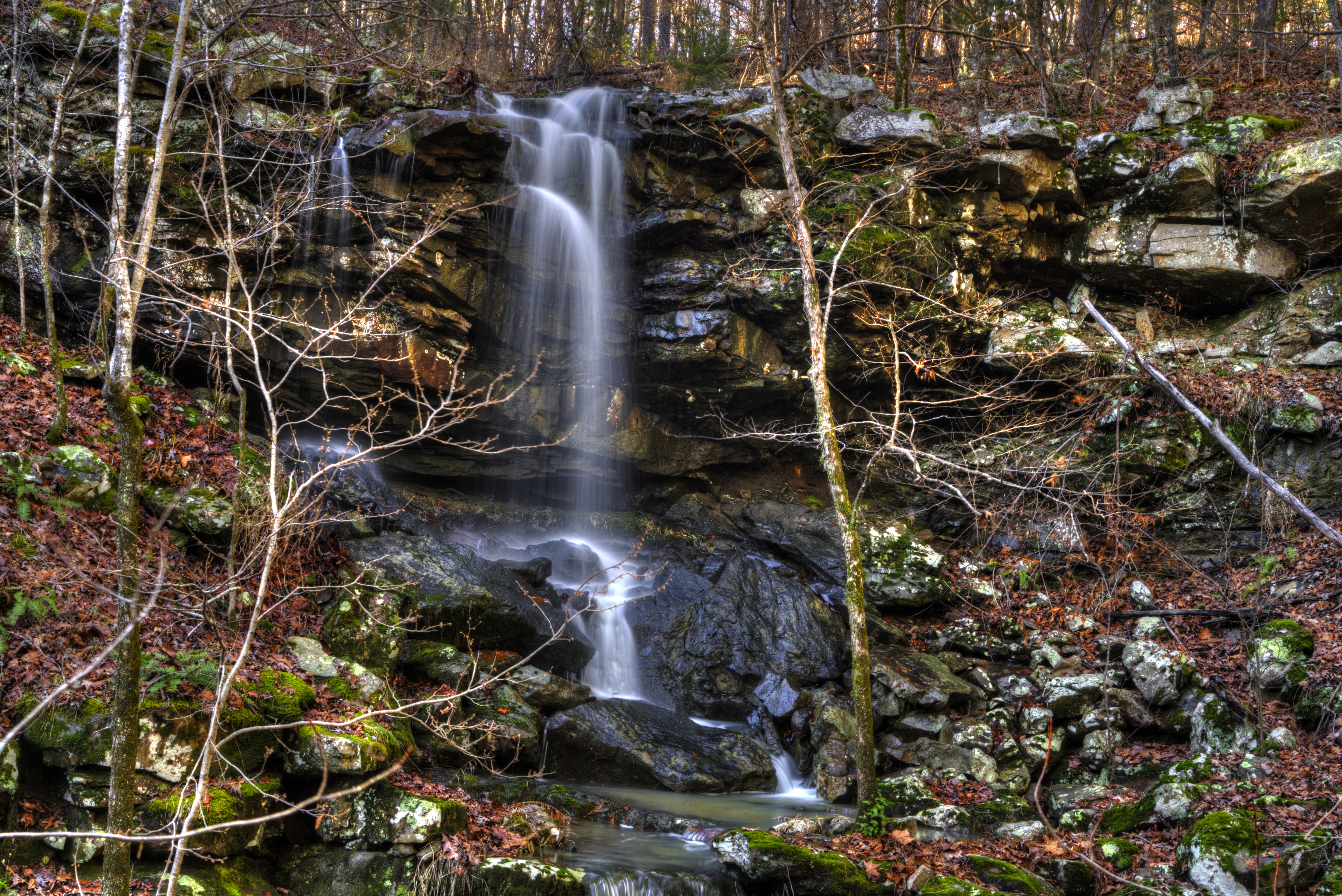
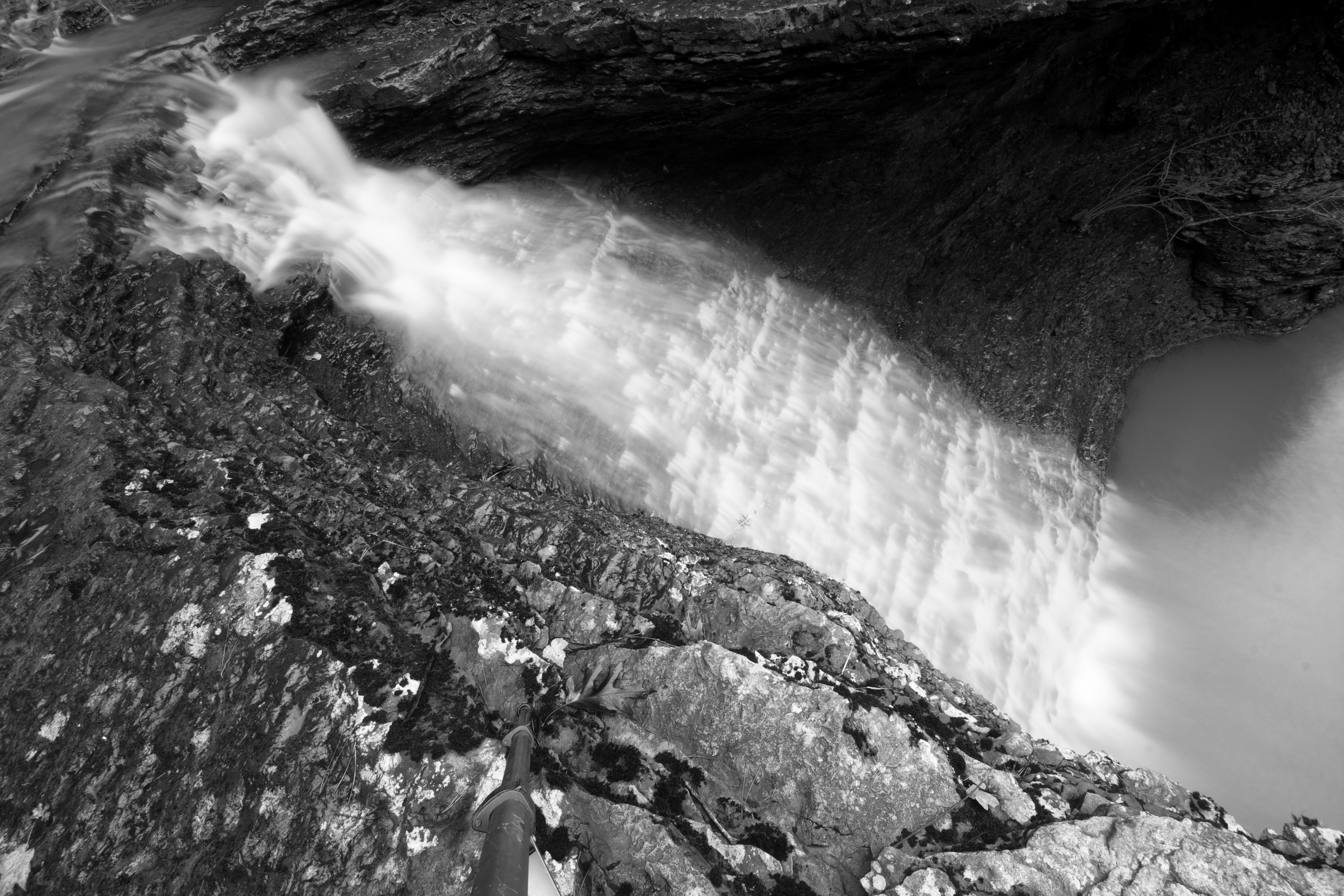
Mitchell Branch Falls
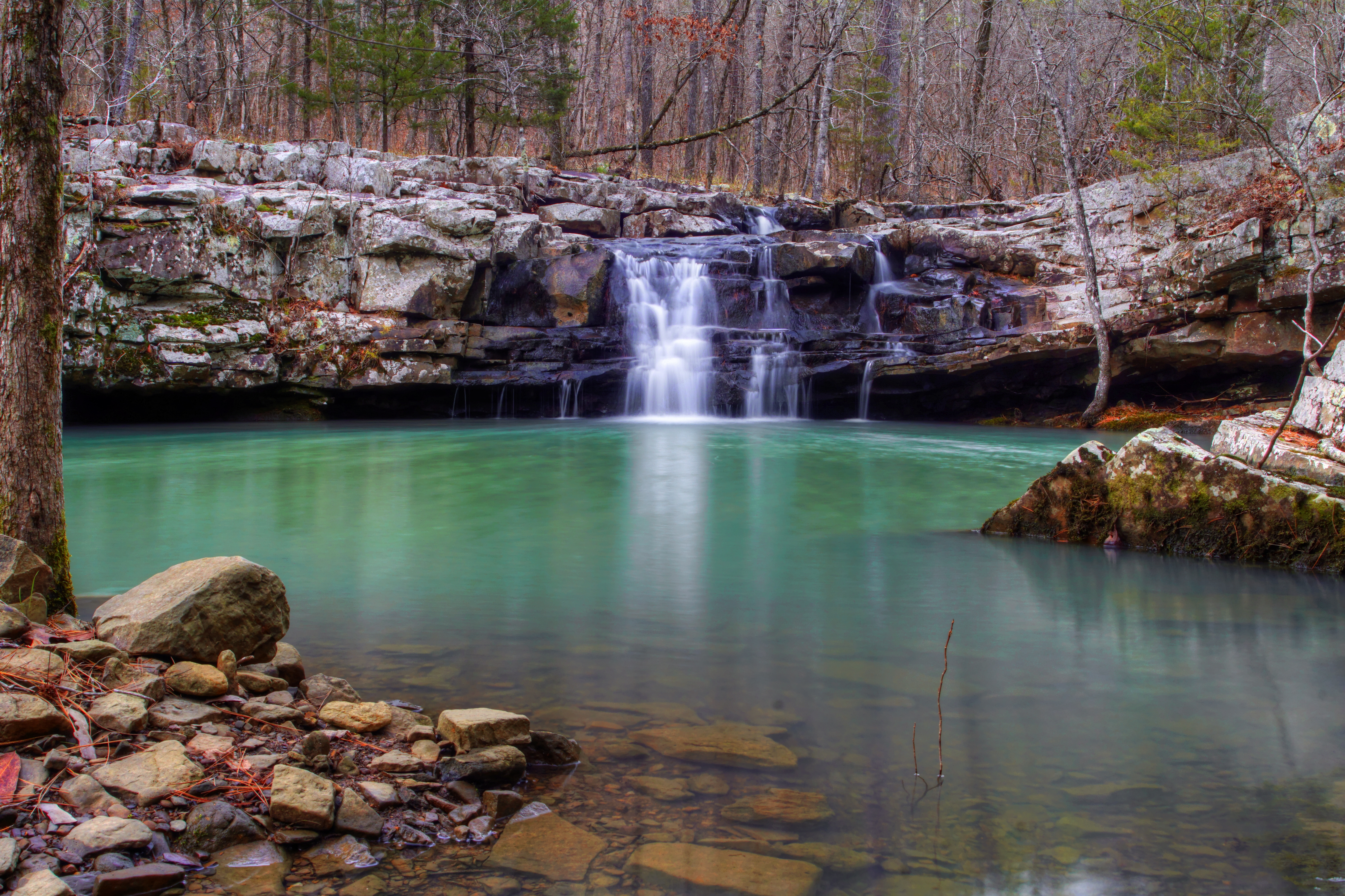
Mitchell Branch Falls
Topographic Map of Dutch Creek Township, AR, USA
Find elevation by address:

Places in Dutch Creek Township, AR, USA:
Places near Dutch Creek Township, AR, USA:
AR-80, Danville, AR, USA
AR-80, Danville, AR, USA
AR-80, Danville, AR, USA
AR-, Havana, AR, USA
Petit Jean Township
Hunt Township
AR-80, Danville, AR, USA
Herring Township
Logan St, Blue Mountain, AR, USA
Blue Mountain
Briggsville Township
Riley Township
Havana
Main St, Havana, AR, USA
Blue Mountain Township
Arkansas 80
Briggsville
AR-80, Danville, AR, USA
37 County Line Rd, Booneville, AR, USA
W State Hwy 28, Rover, AR, USA
Recent Searches:
- Elevation of 4 Vale Rd, Sheffield S3 9QX, UK
- Elevation of Keene Point Drive, Keene Point Dr, Grant, AL, USA
- Elevation of State St, Zanesville, OH, USA
- Elevation of Austin Stone Dr, Haslet, TX, USA
- Elevation of Bydgoszcz, Poland
- Elevation of Bydgoszcz, Poland
- Elevation of Calais Dr, Del Mar, CA, USA
- Elevation of Placer Mine Ln, West Jordan, UT, USA
- Elevation of E 63rd St, New York, NY, USA
- Elevation of Elk City, OK, USA