Elevation of 37 County Line Rd, Booneville, AR, USA
Location: United States > Arkansas > Logan County > Petit Jean Township >
Longitude: -93.800793
Latitude: 35.081598
Elevation: 137m / 449feet
Barometric Pressure: 100KPa
Elevation Map:
Satellite Map:
Related Photos:
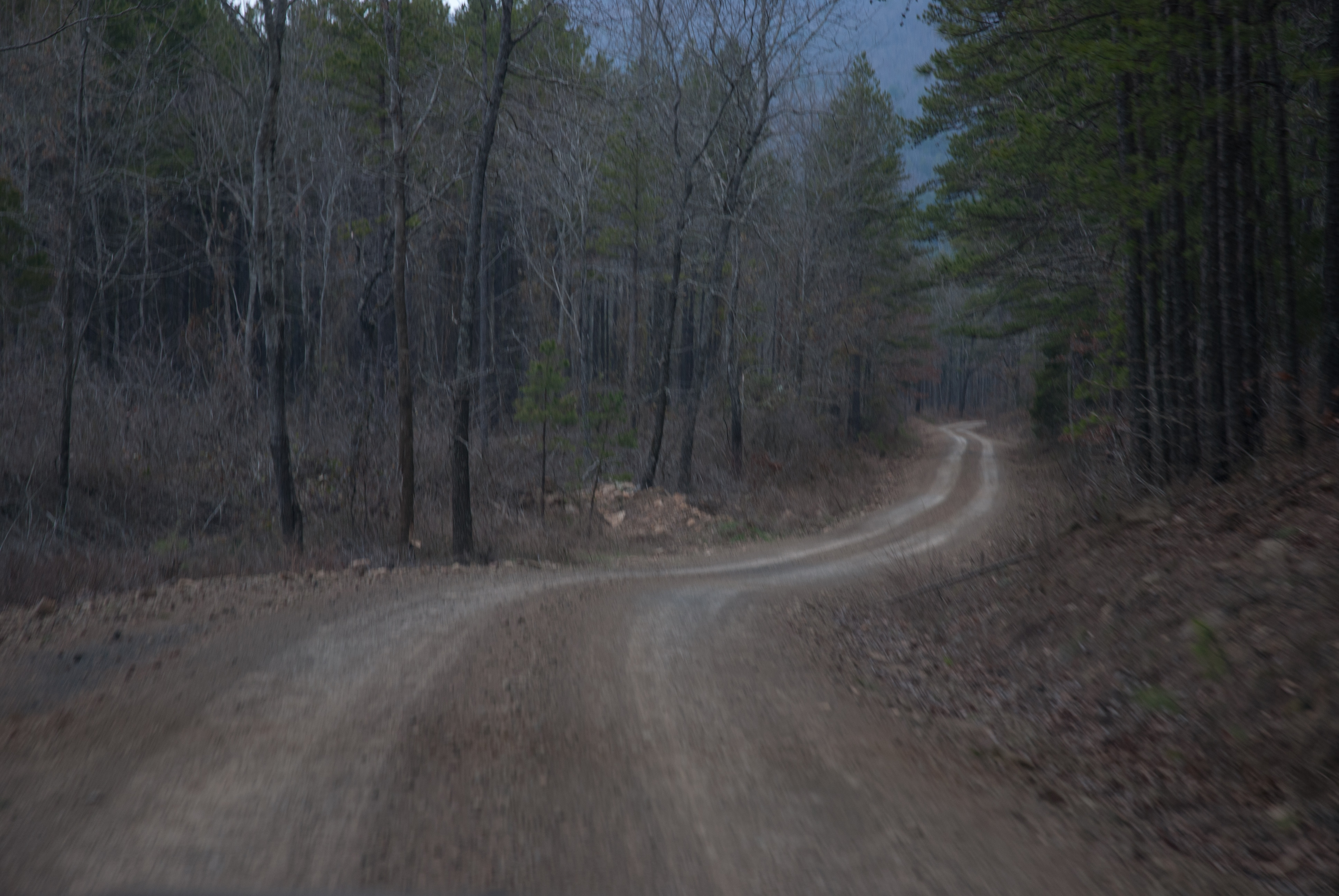
APR_0136.jpg
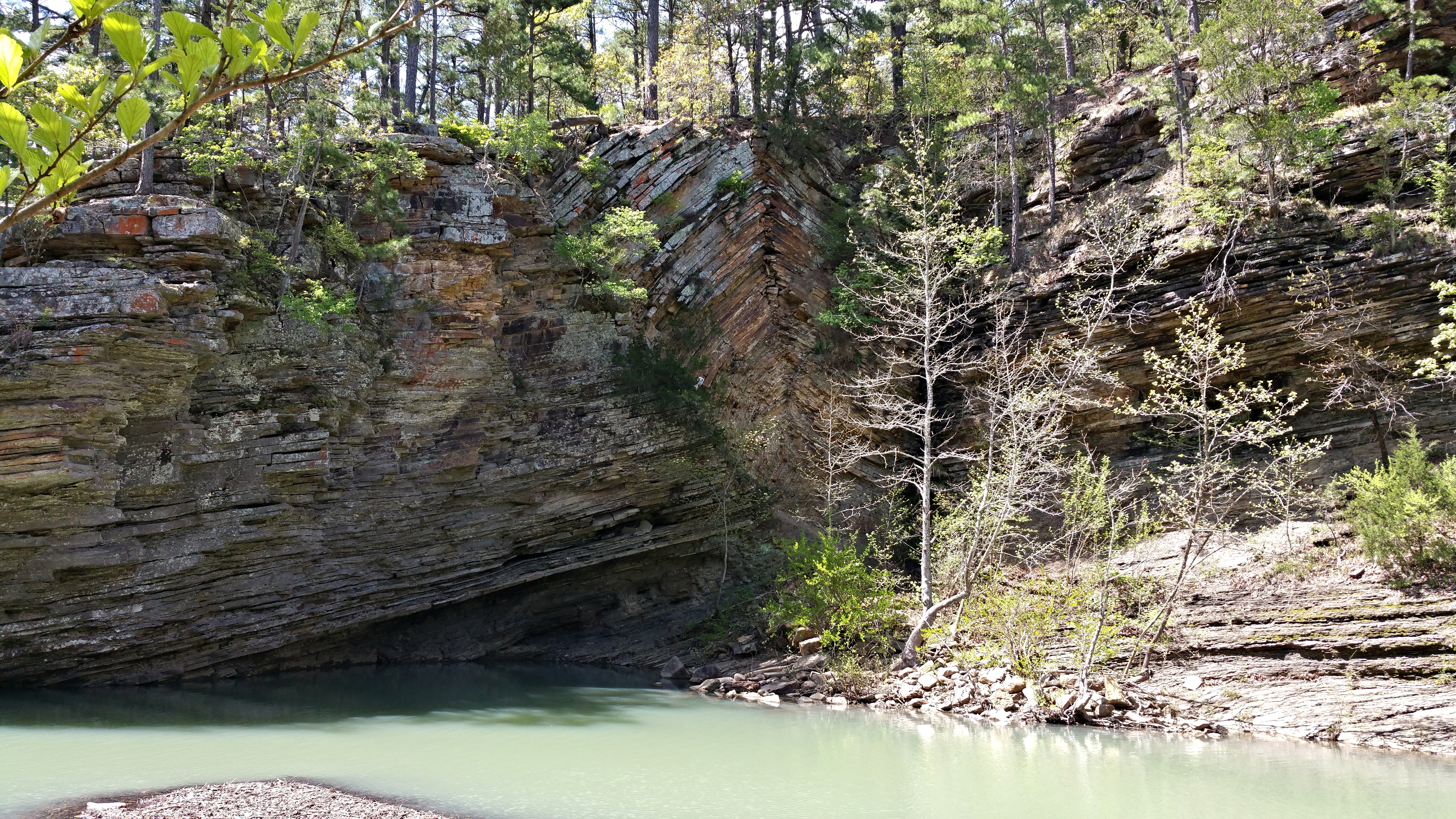
Bluff Hole
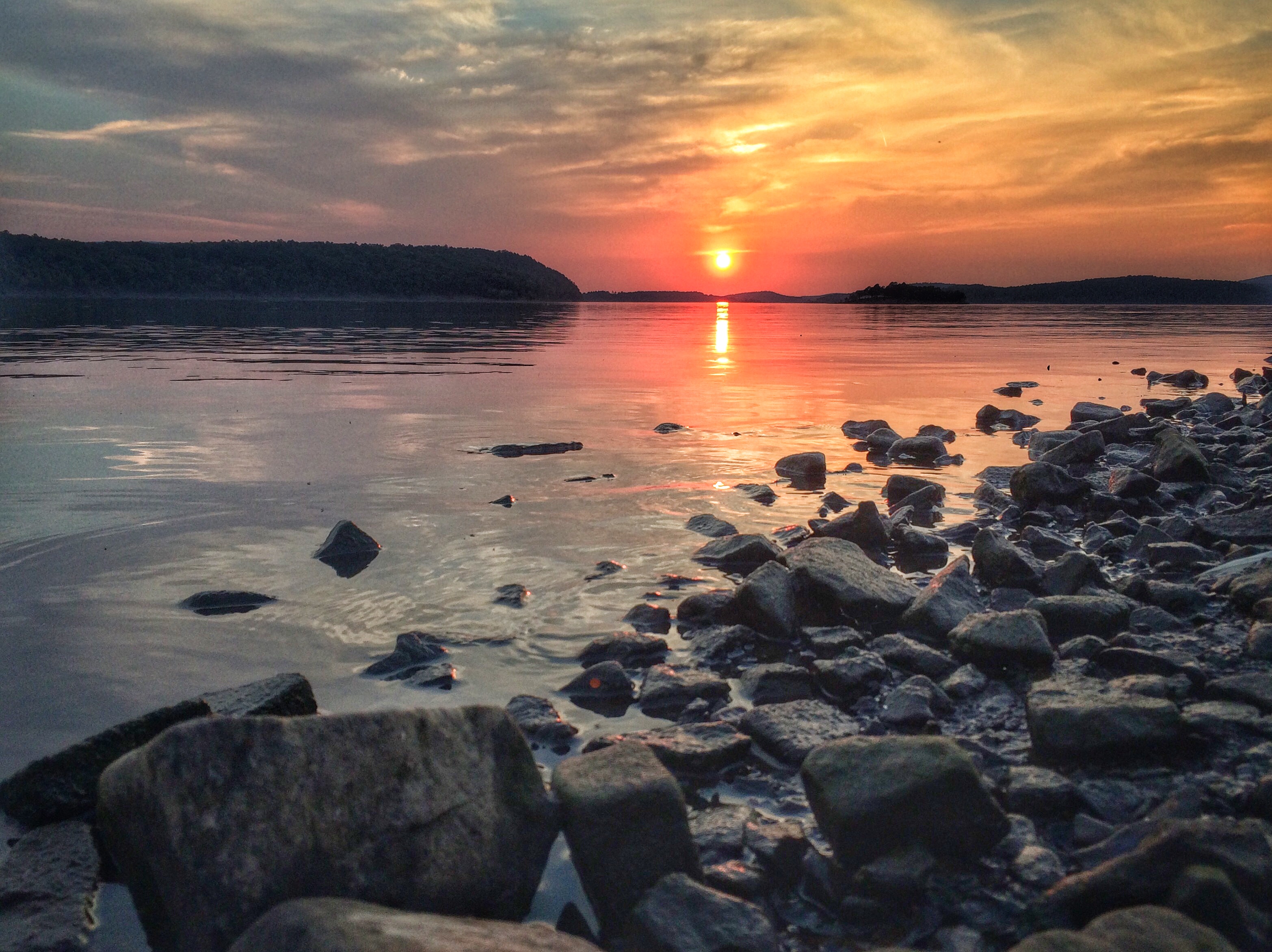
Sunset at Blue Mountain Lake
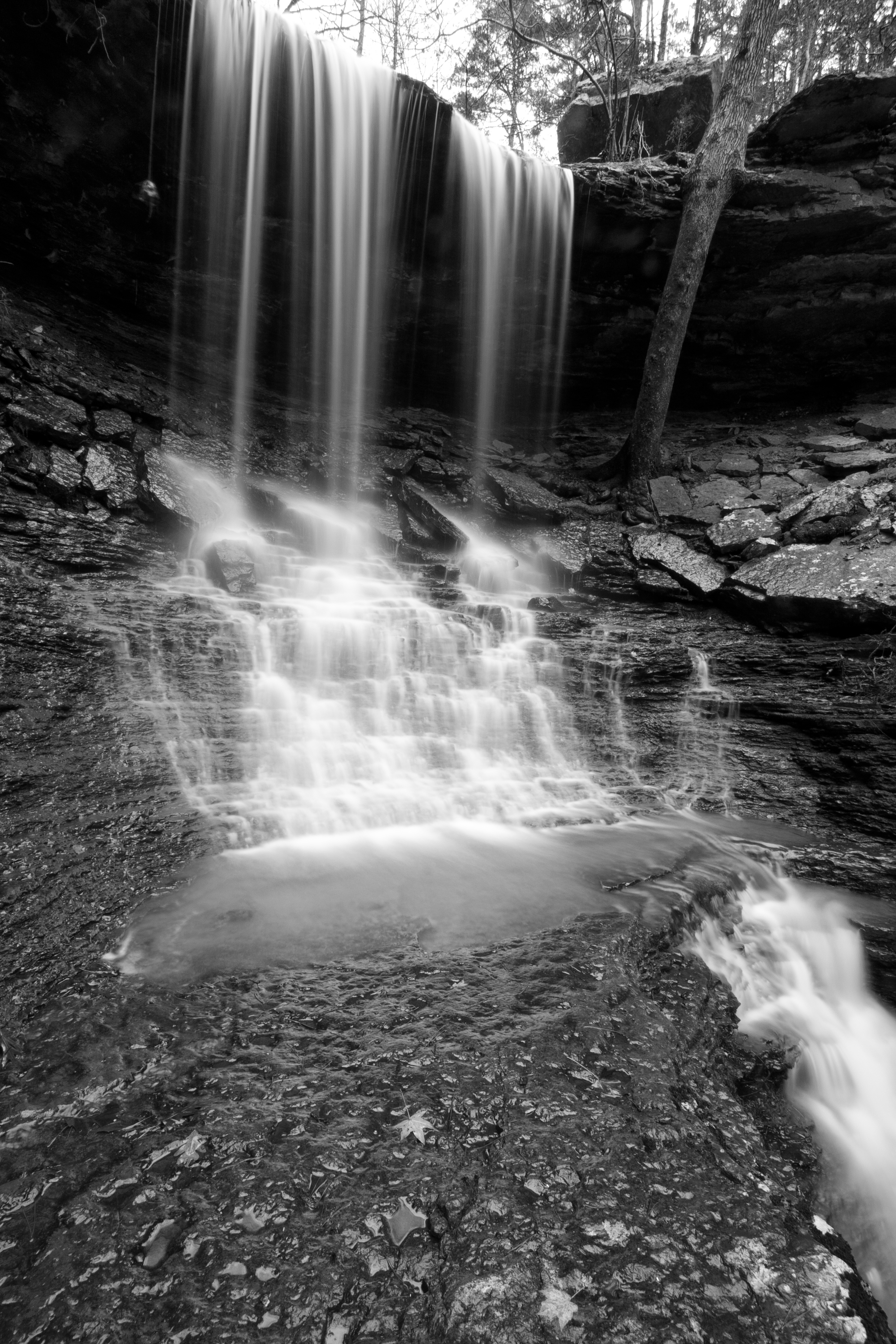
Mitchell Branch Falls 1
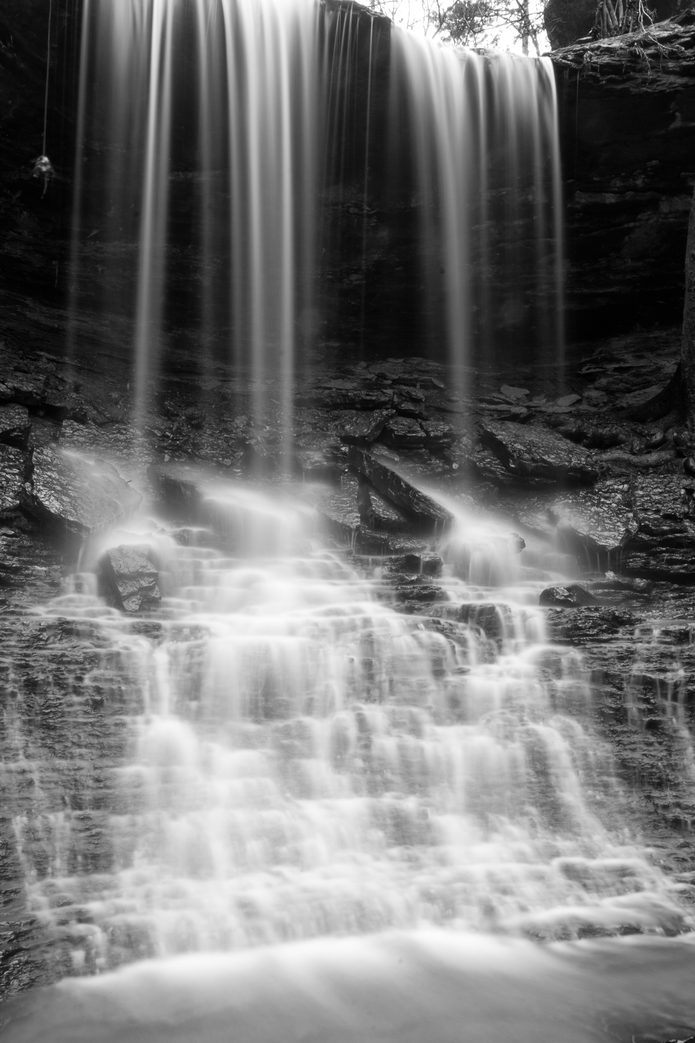
Mitchell Branch Falls 3
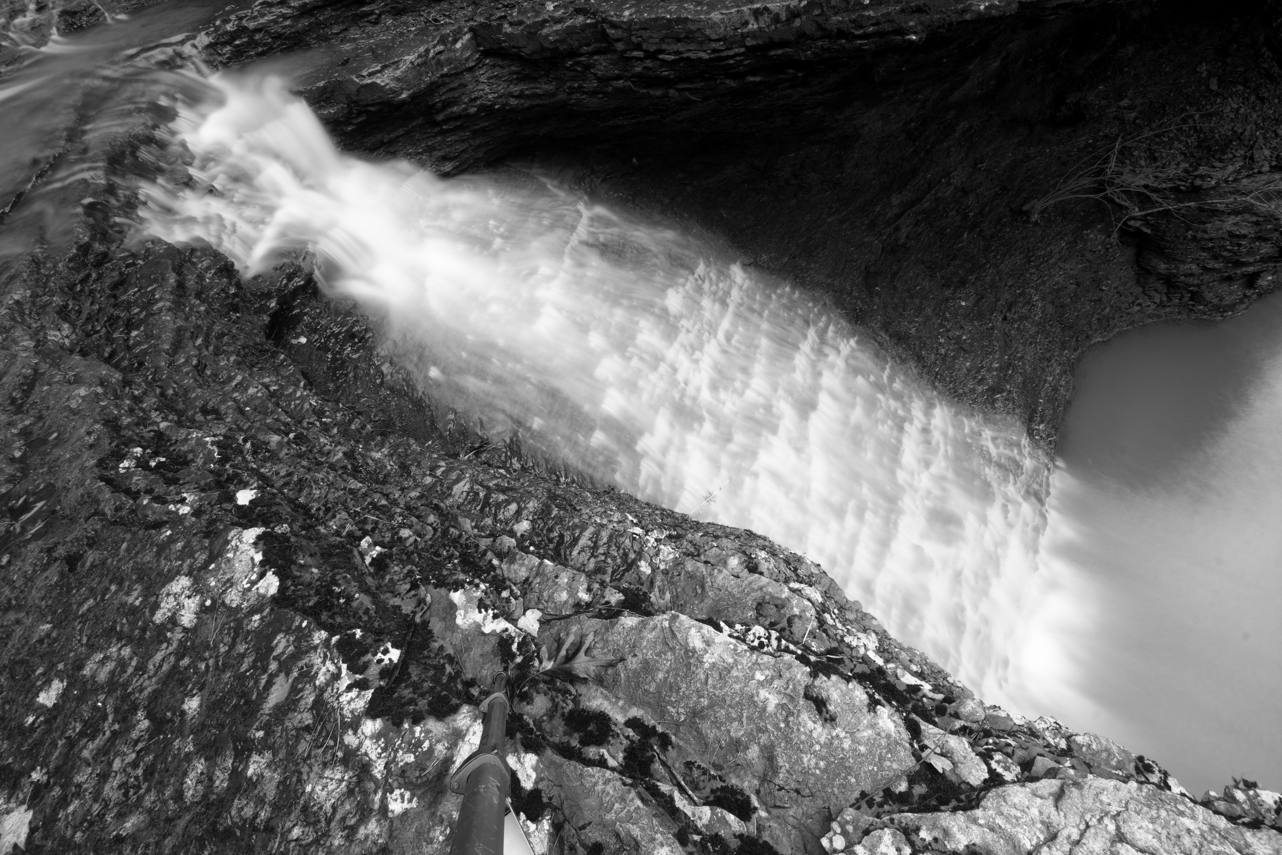
Mitchell Branch Falls 2
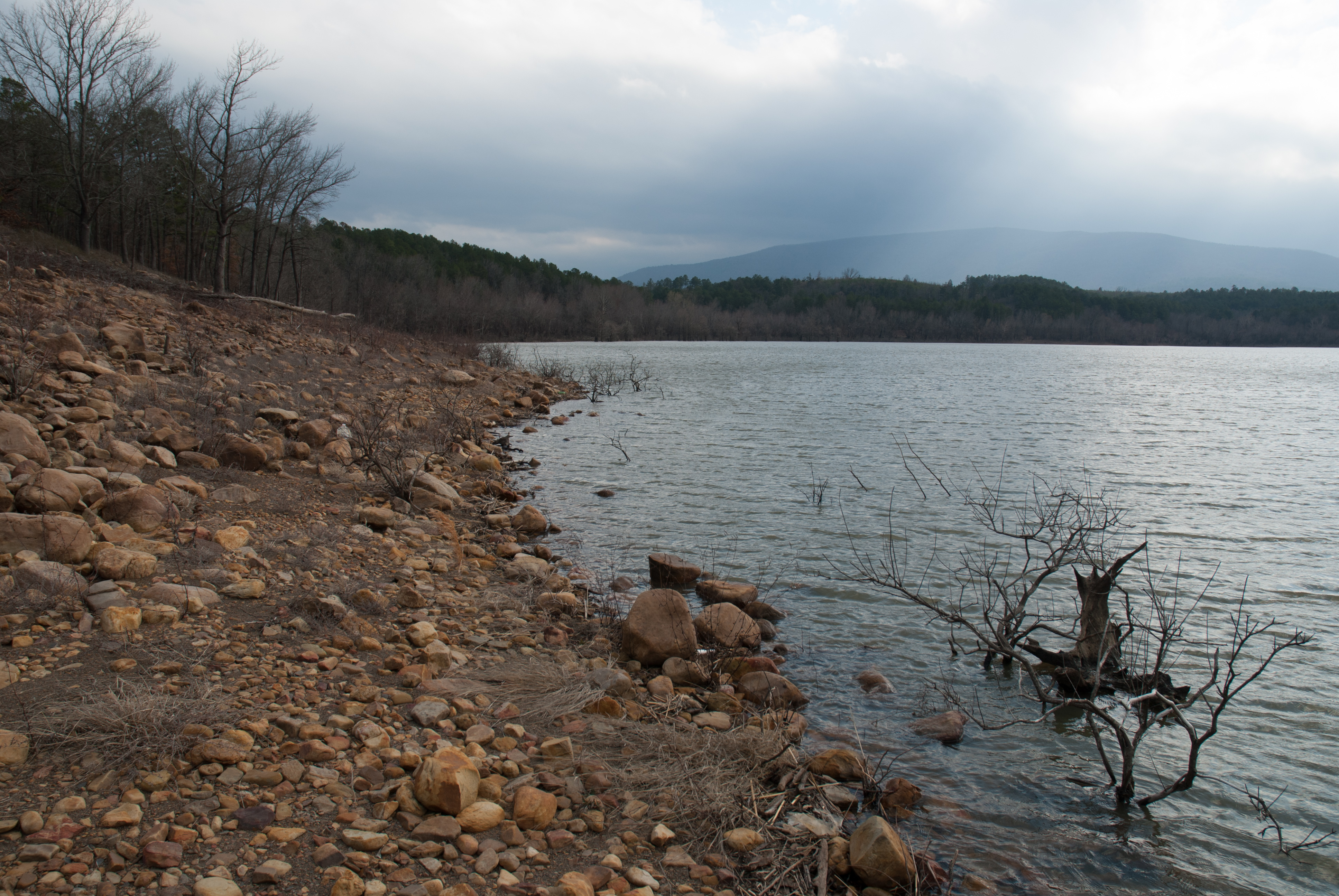
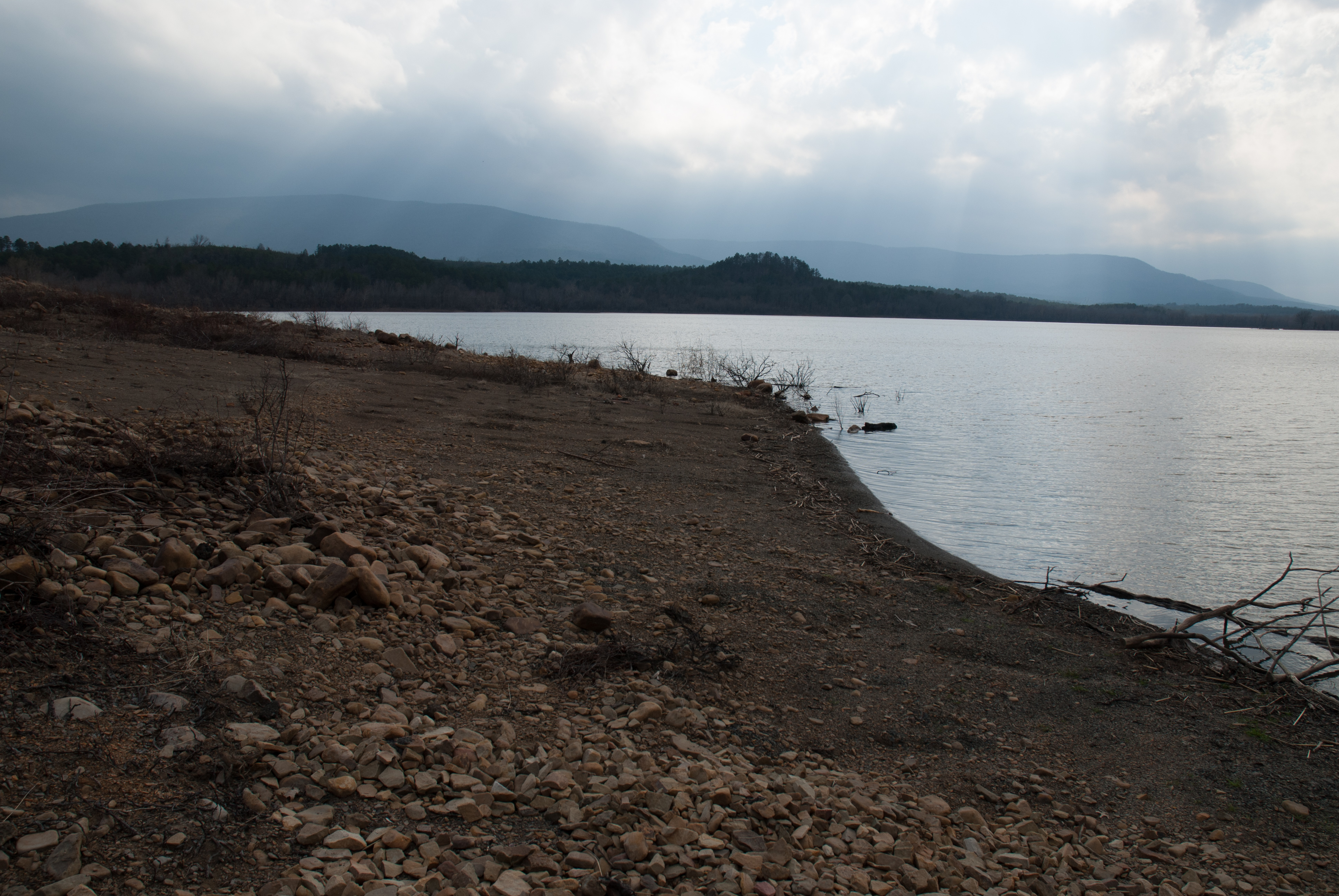
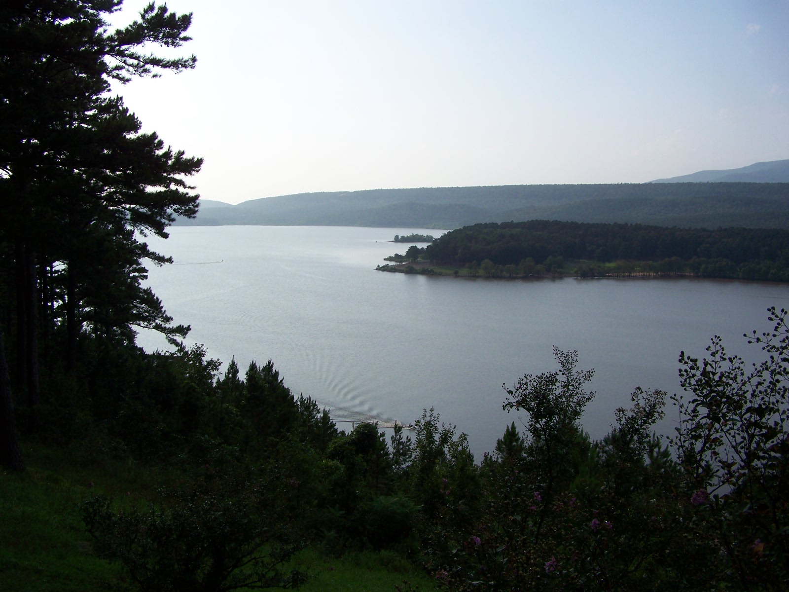
Blue Mountain Lake, Arkansas
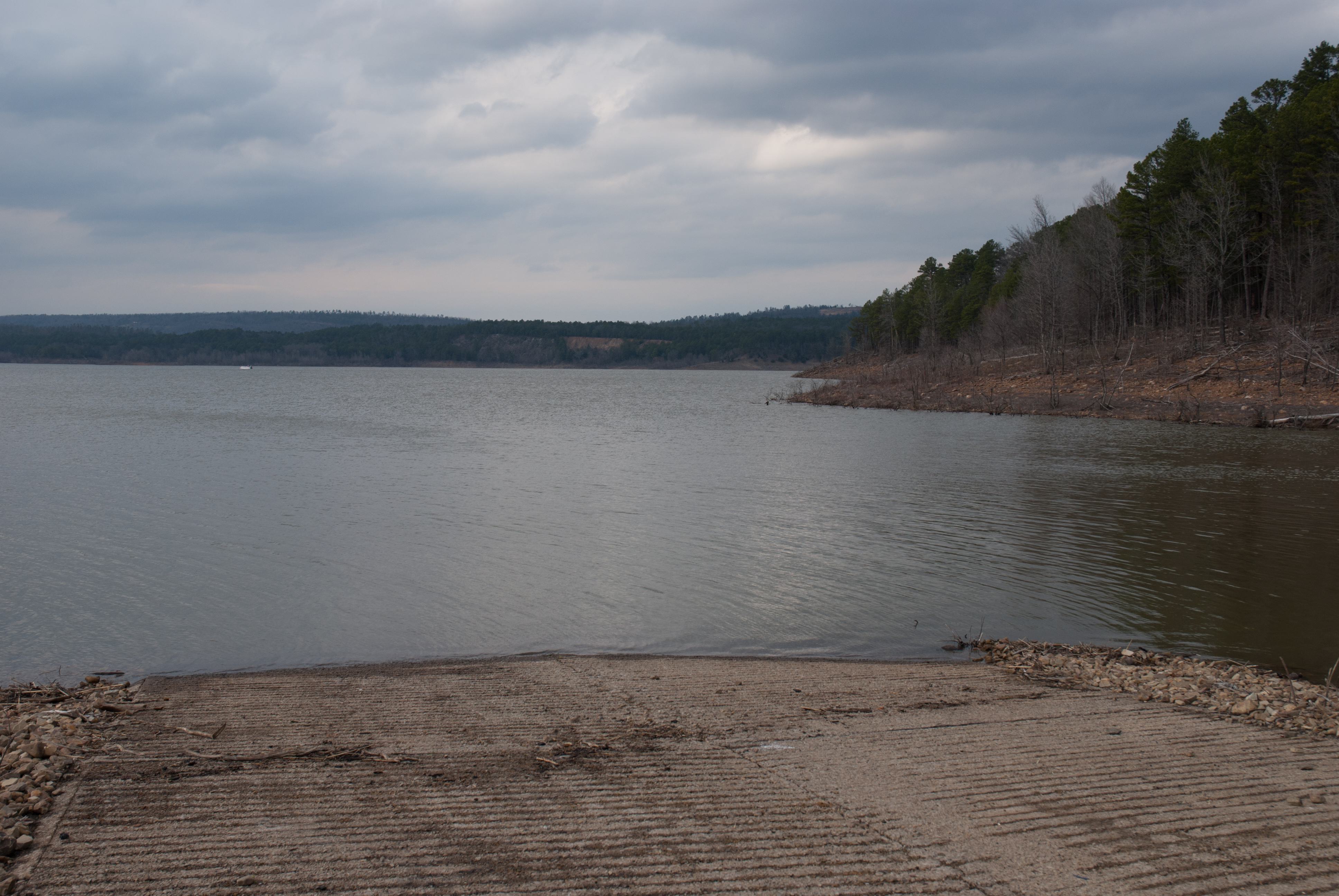
Blue Mountain Lake, Arkansas
APR_0129.jpg

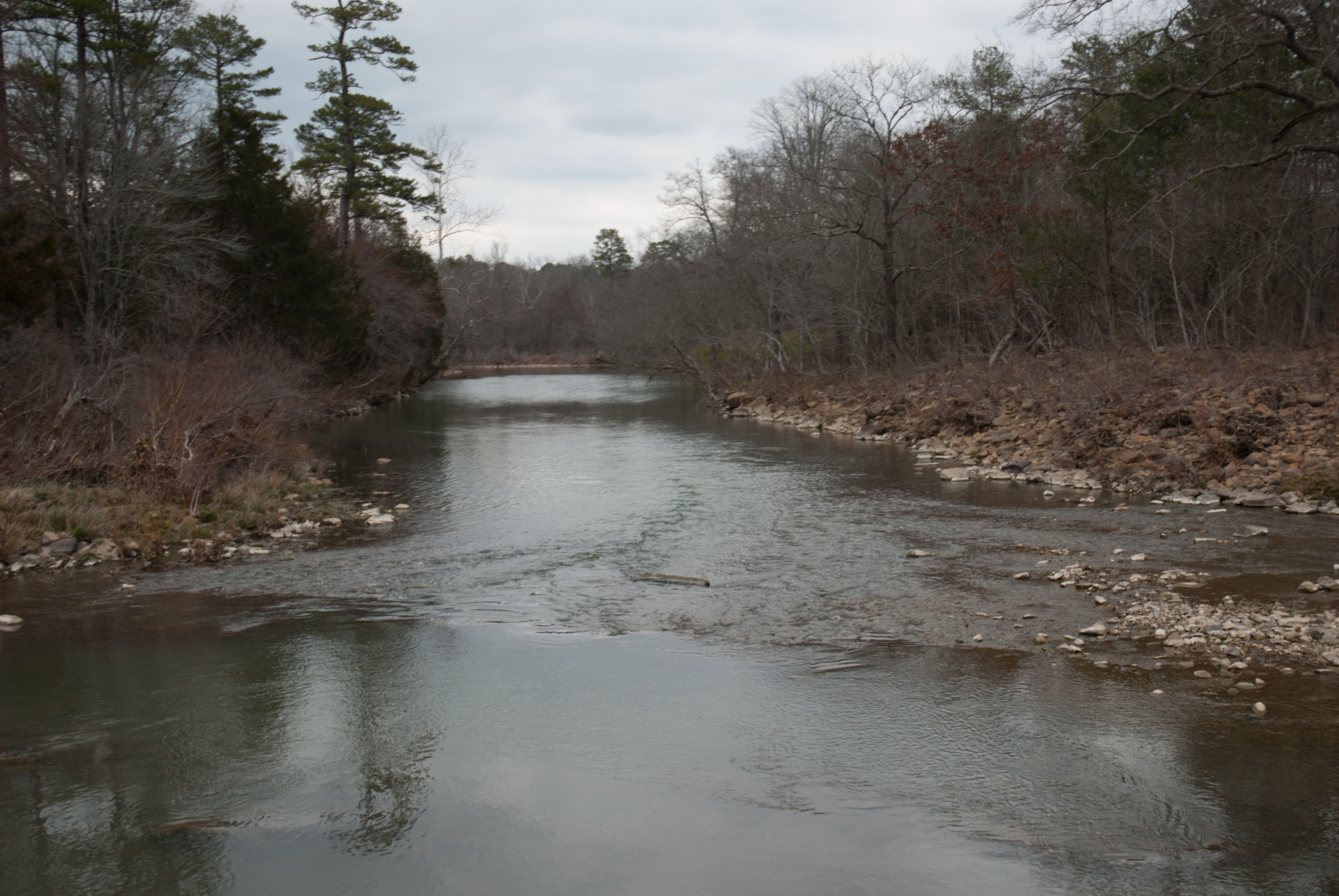
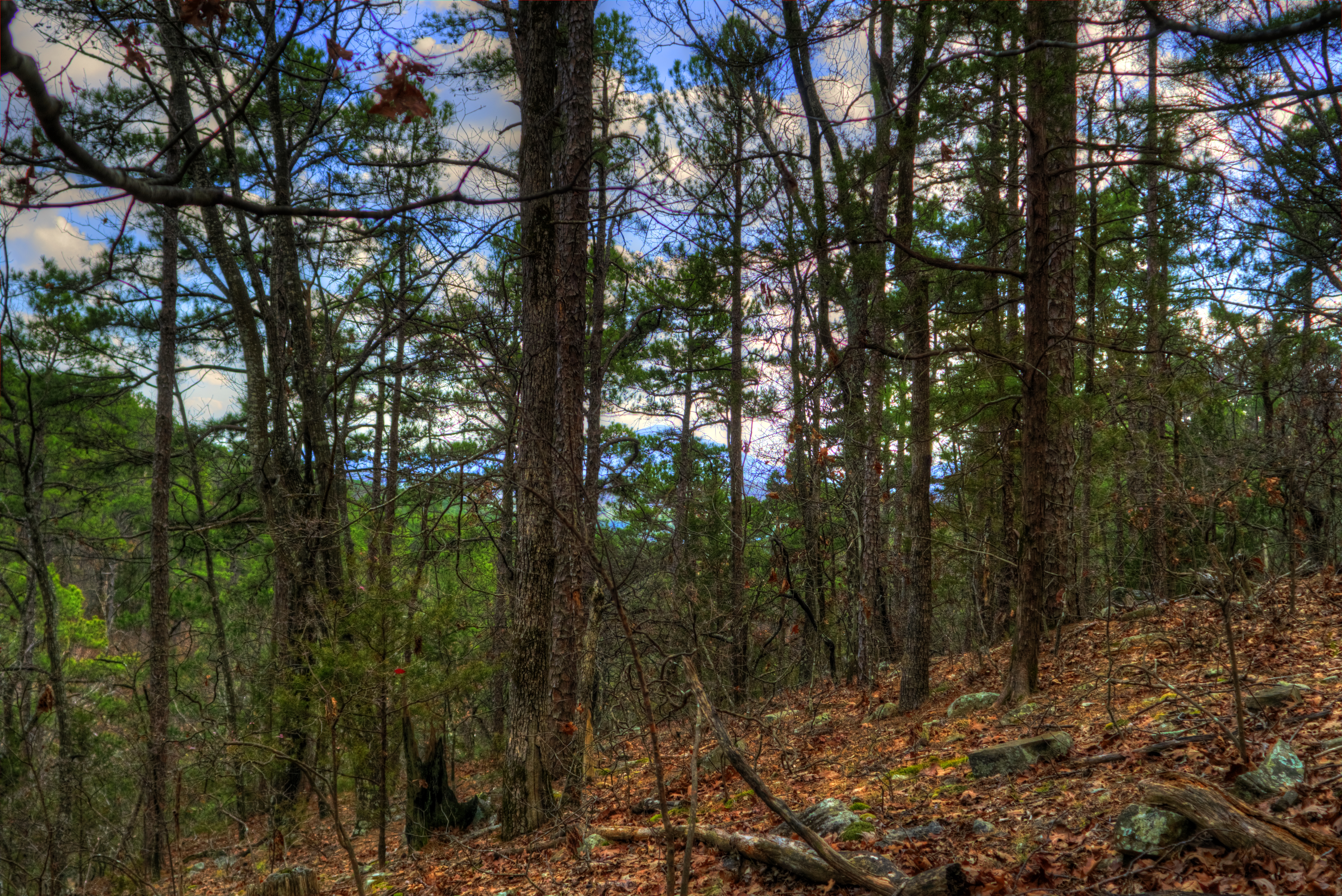
Jack Creek

Blue Mountain Lake, Arkansas
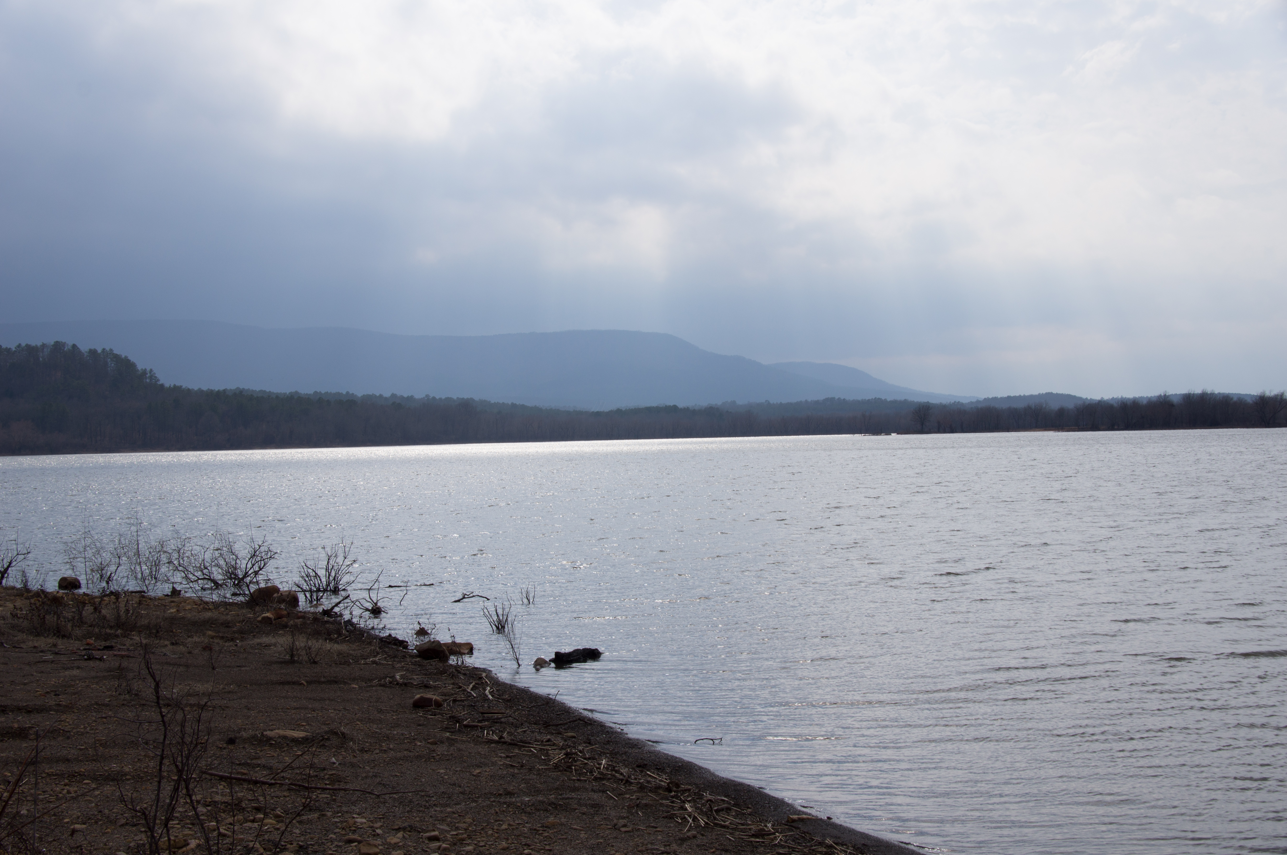
Blue Mountain Lake, Arkansas
APR_0131.jpg
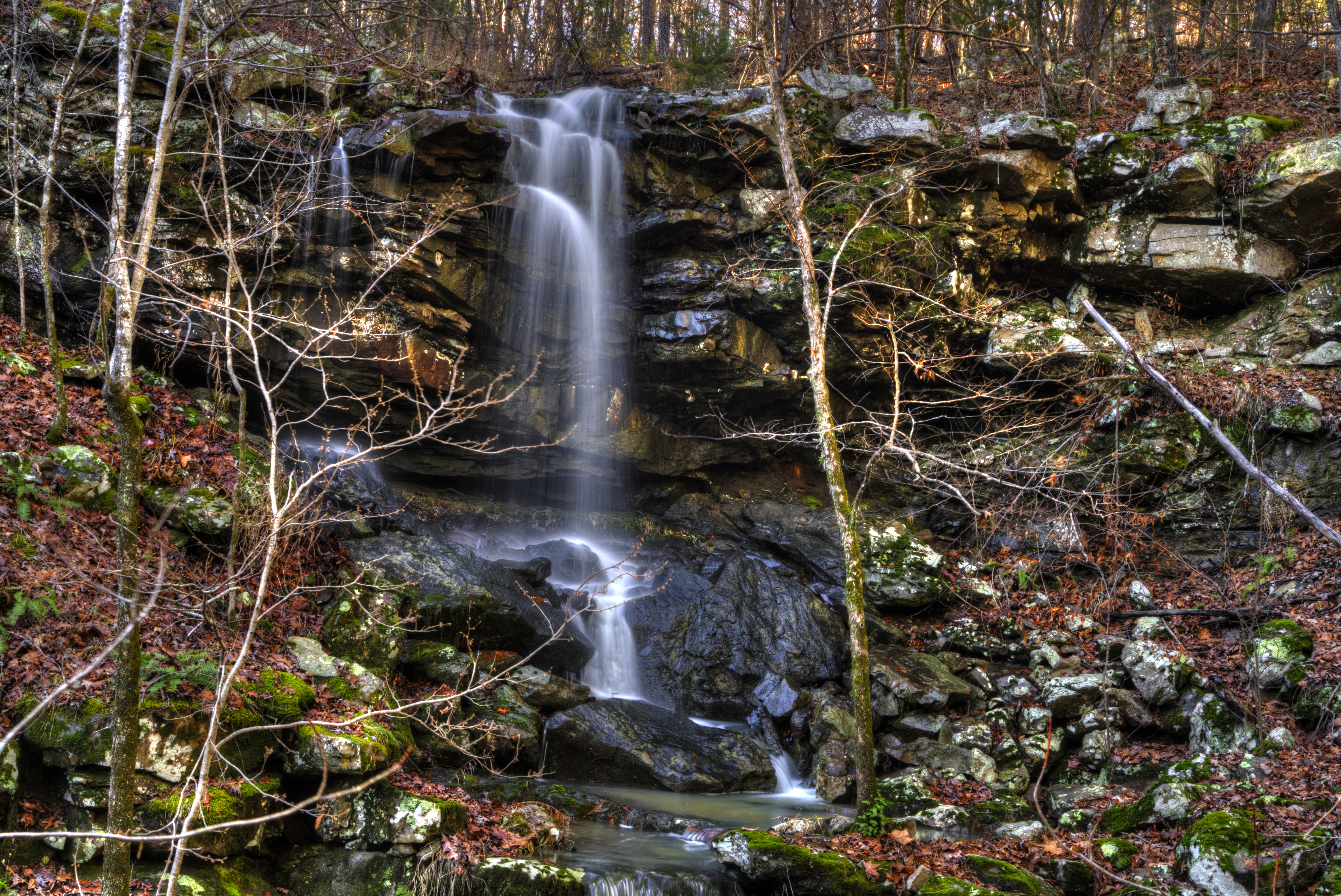
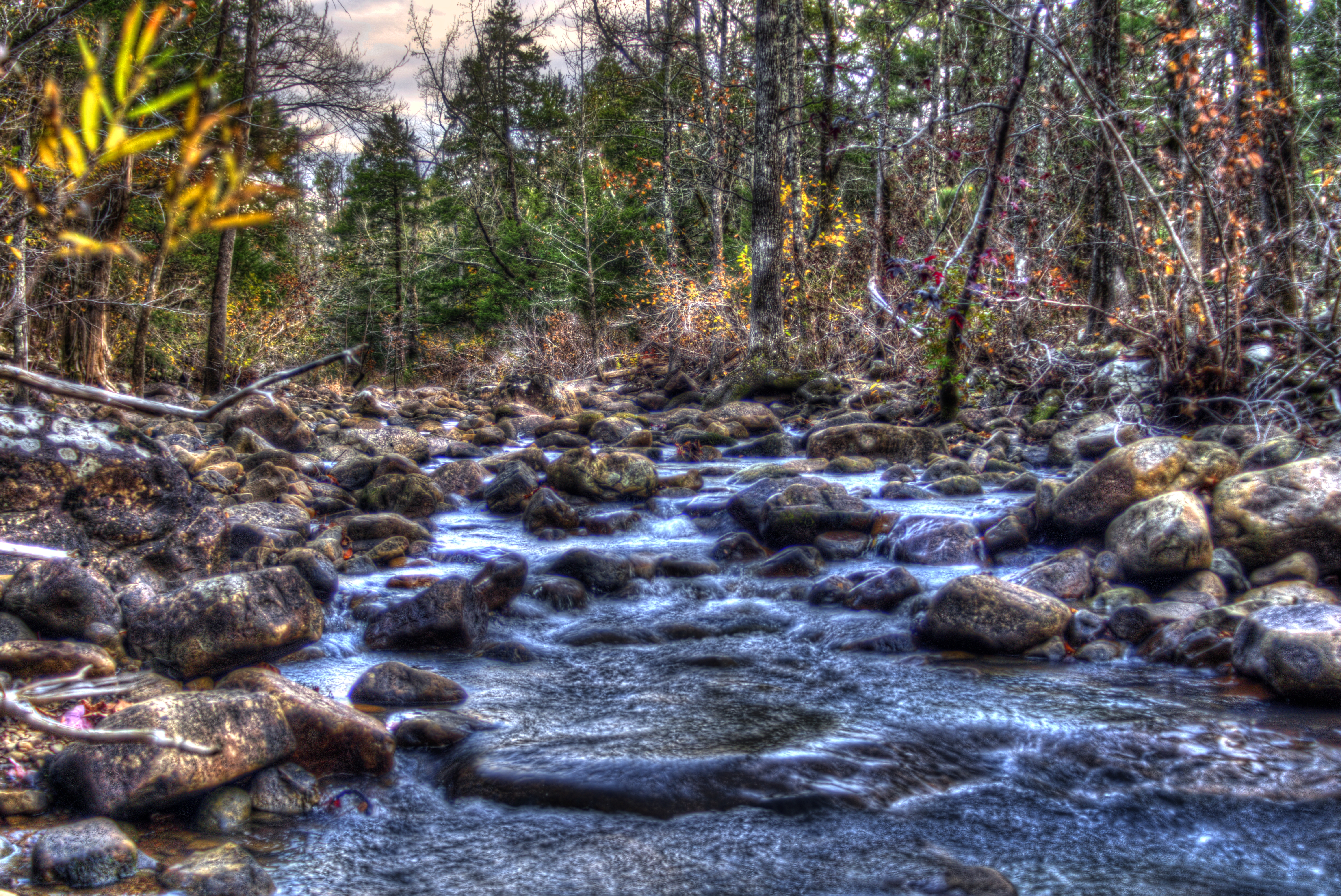
Mitchell Branch Falls
Hole in The Ground Mountian
Kingdoodle Knob

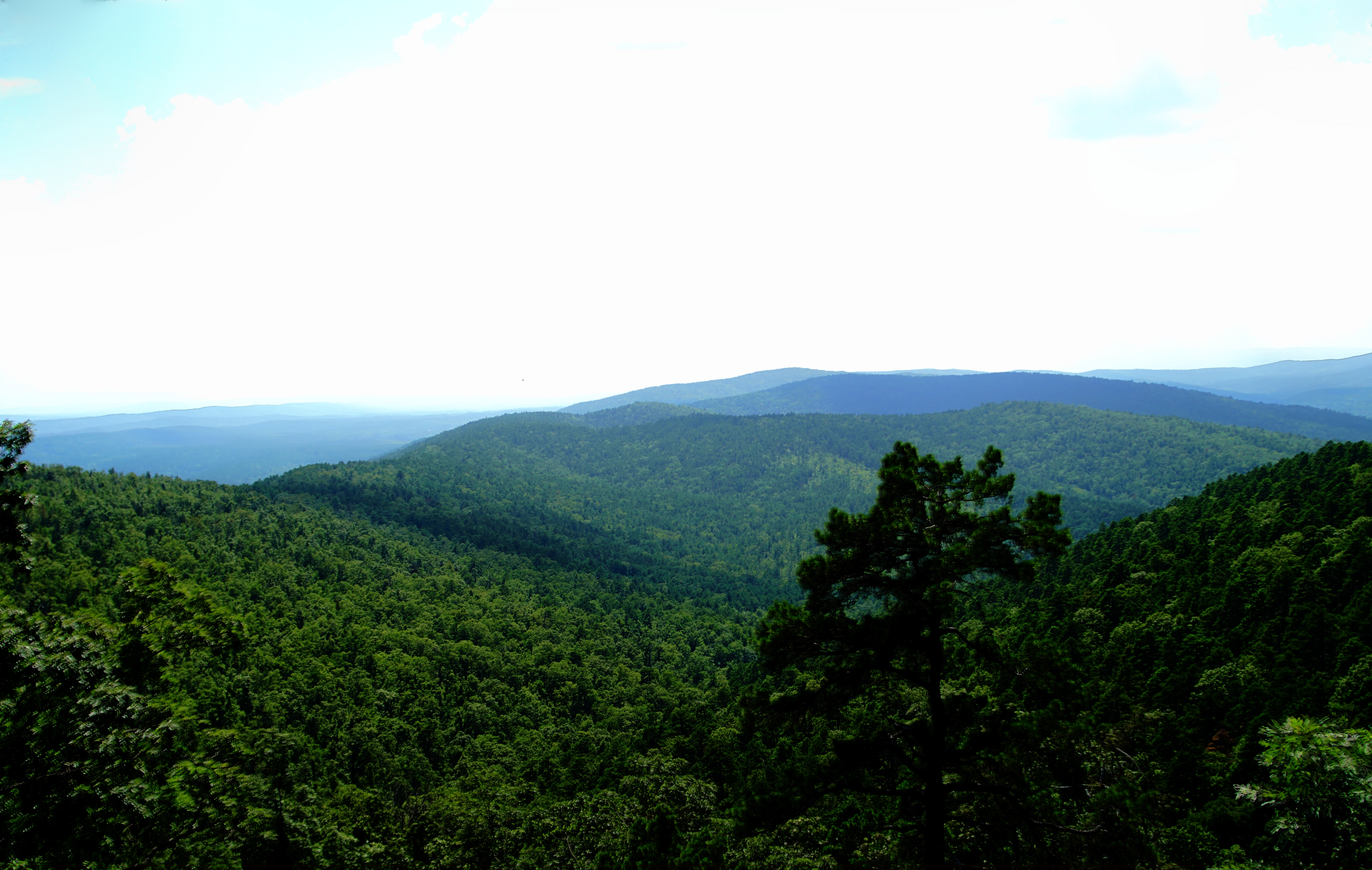
Mount Magazine State Park
Blue Mountain Lake, Arkansas
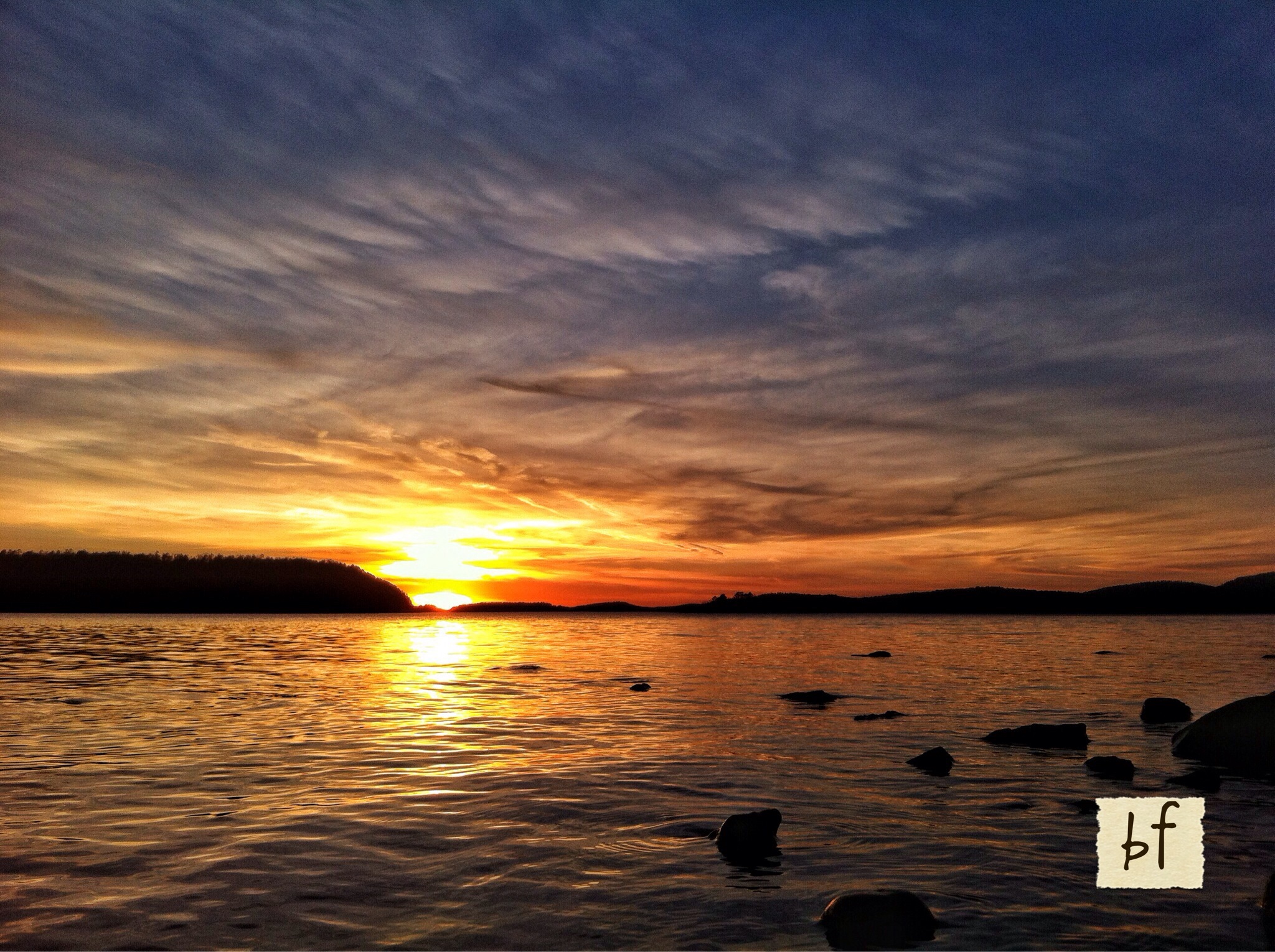
Sunset at Blue Mtn Lake 2.16.14
Blue Mountain Lake
Potato Hill 2
Topographic Map of 37 County Line Rd, Booneville, AR, USA
Find elevation by address:

Places near 37 County Line Rd, Booneville, AR, USA:
63 Starling Ln
Sugar Creek Township
Petit Jean Township
87 W Powell St
60 AR-, Magazine, AR, USA
Magazine
Jack Creek Rd, Booneville, AR, USA
Mixon Rd, Booneville, AR, USA
214 Parisi Ln
Logan St, Blue Mountain, AR, USA
Blue Mountain
Blue Mountain Township
AR-, Havana, AR, USA
Hunt Township
Wisley Rd, Booneville, AR, USA
28 E Main St, Booneville, AR, USA
Booneville
Boone Township
Arkansas 80
AR-80, Danville, AR, USA
Recent Searches:
- Elevation of Woodland Oak Pl, Thousand Oaks, CA, USA
- Elevation of Brownsdale Rd, Renfrew, PA, USA
- Elevation of Corcoran Ln, Suffolk, VA, USA
- Elevation of Mamala II, Sariaya, Quezon, Philippines
- Elevation of Sarangdanda, Nepal
- Elevation of 7 Waterfall Way, Tomball, TX, USA
- Elevation of SW 57th Ave, Portland, OR, USA
- Elevation of Crocker Dr, Vacaville, CA, USA
- Elevation of Pu Ngaol Community Meeting Hall, HWHM+3X7, Krong Saen Monourom, Cambodia
- Elevation of Royal Ontario Museum, Queens Park, Toronto, ON M5S 2C6, Canada