Elevation of Sugar Creek Township, AR, USA
Location: United States > Arkansas > Logan County >
Longitude: -93.845173
Latitude: 35.08812
Elevation: 215m / 705feet
Barometric Pressure: 99KPa
Elevation Map:
Satellite Map:
Related Photos:
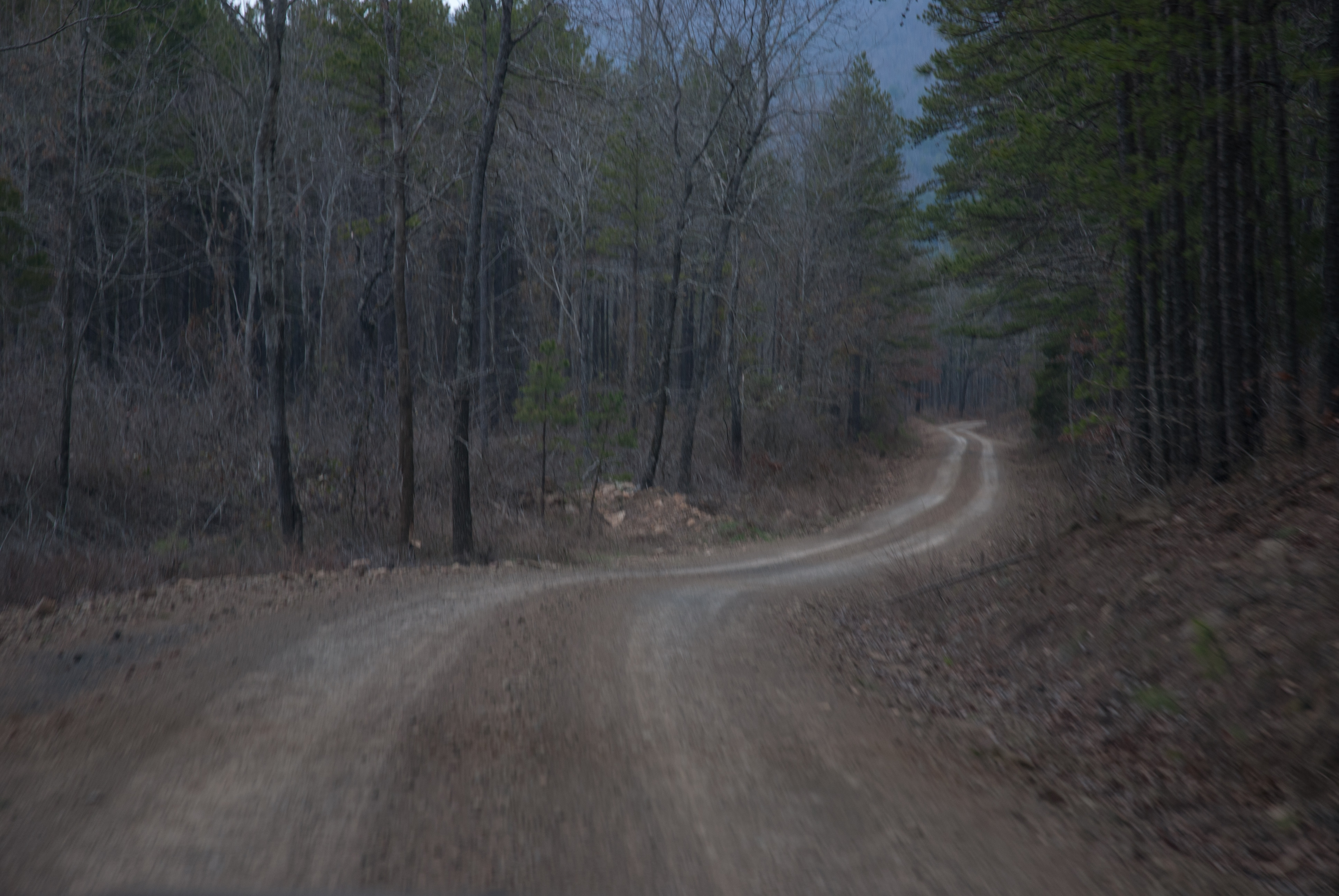
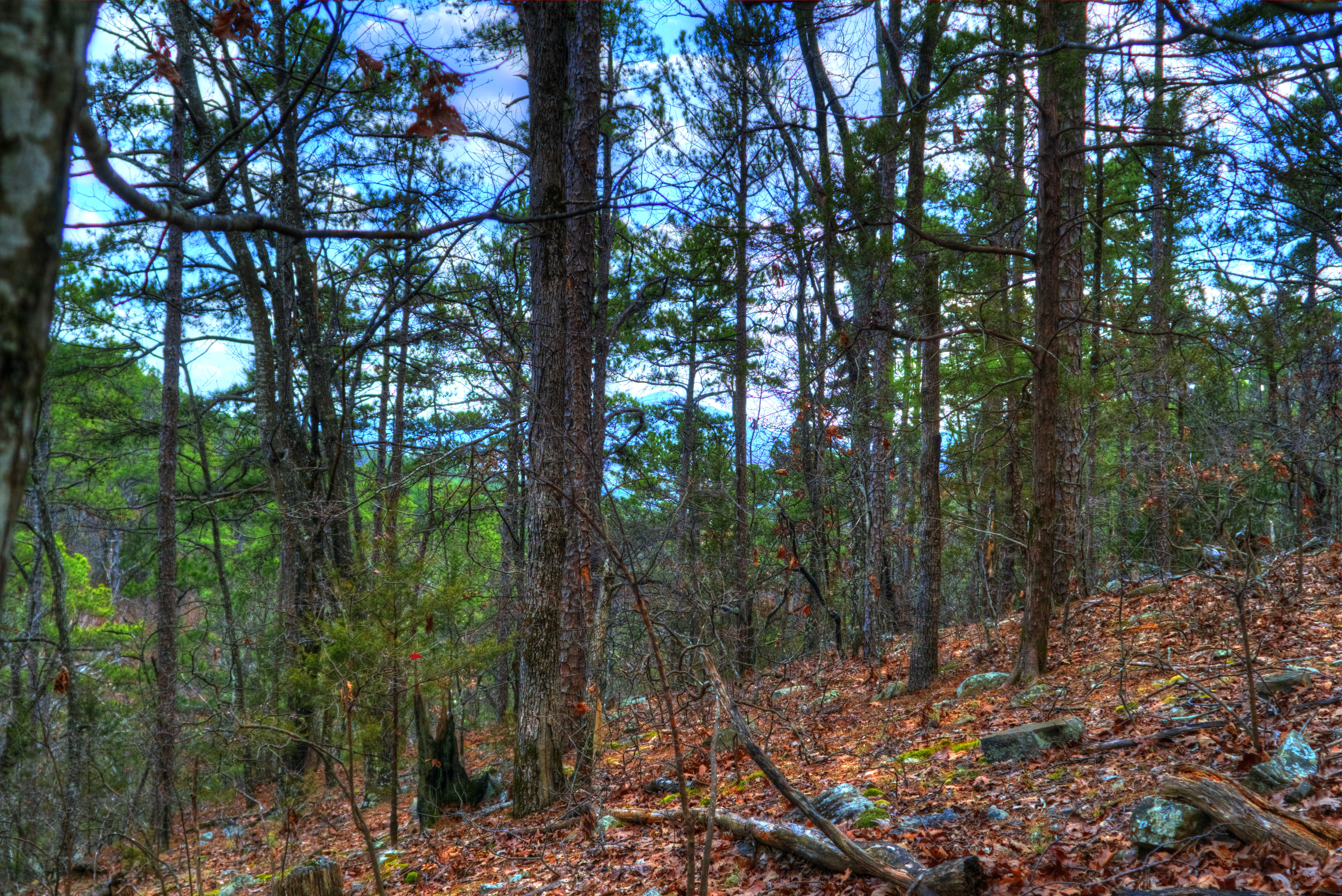
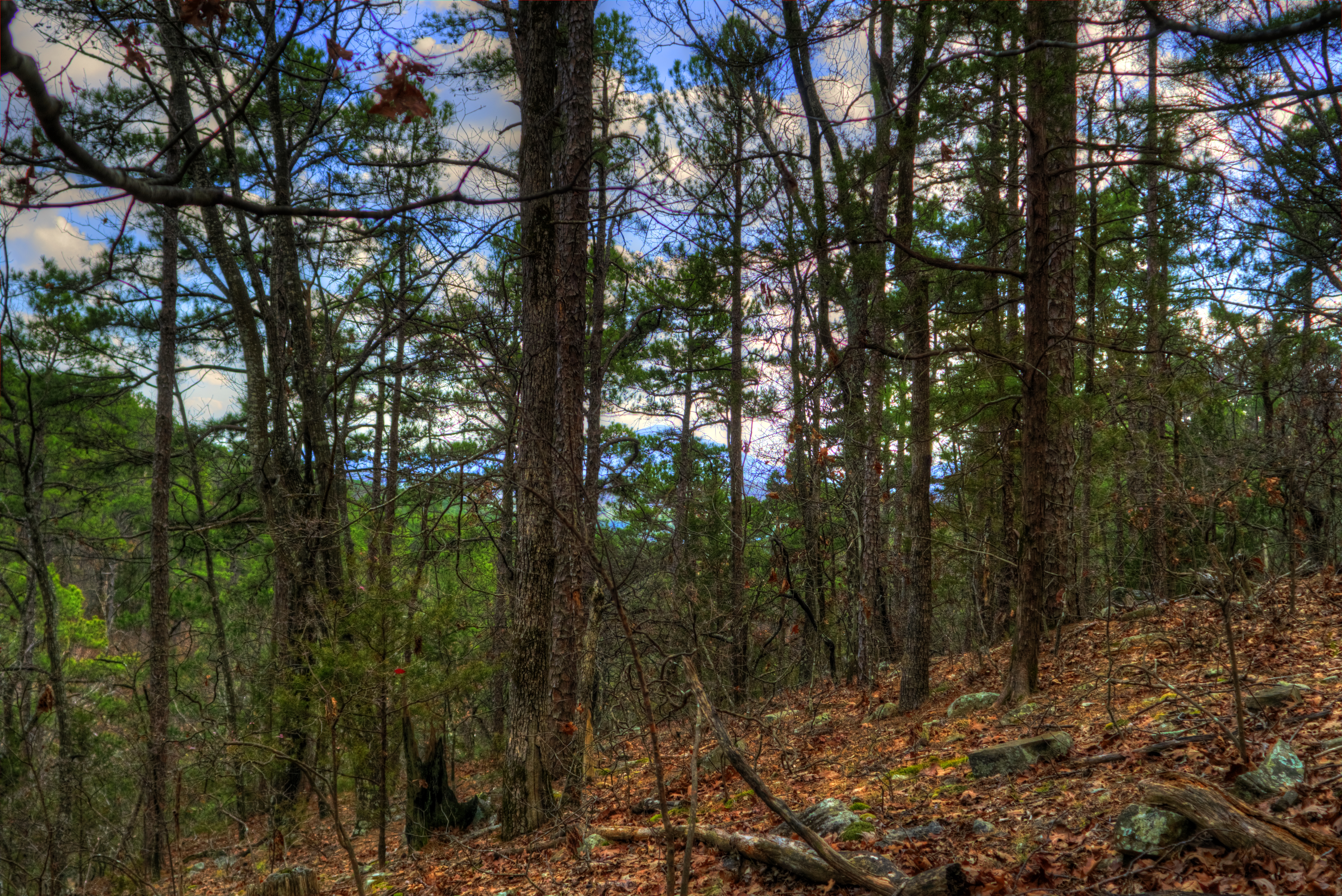
APR_0136.jpg
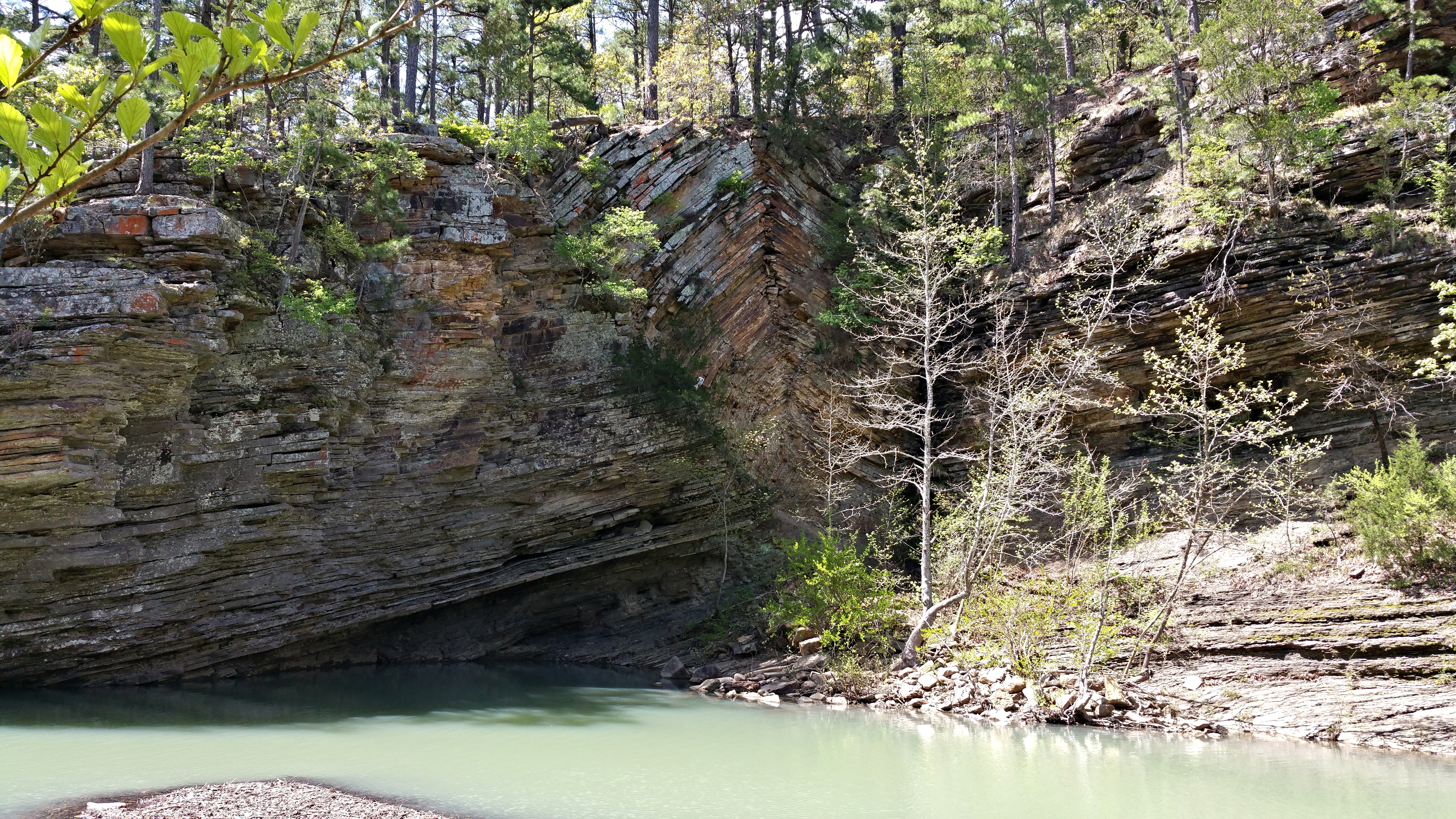
Bluff Hole
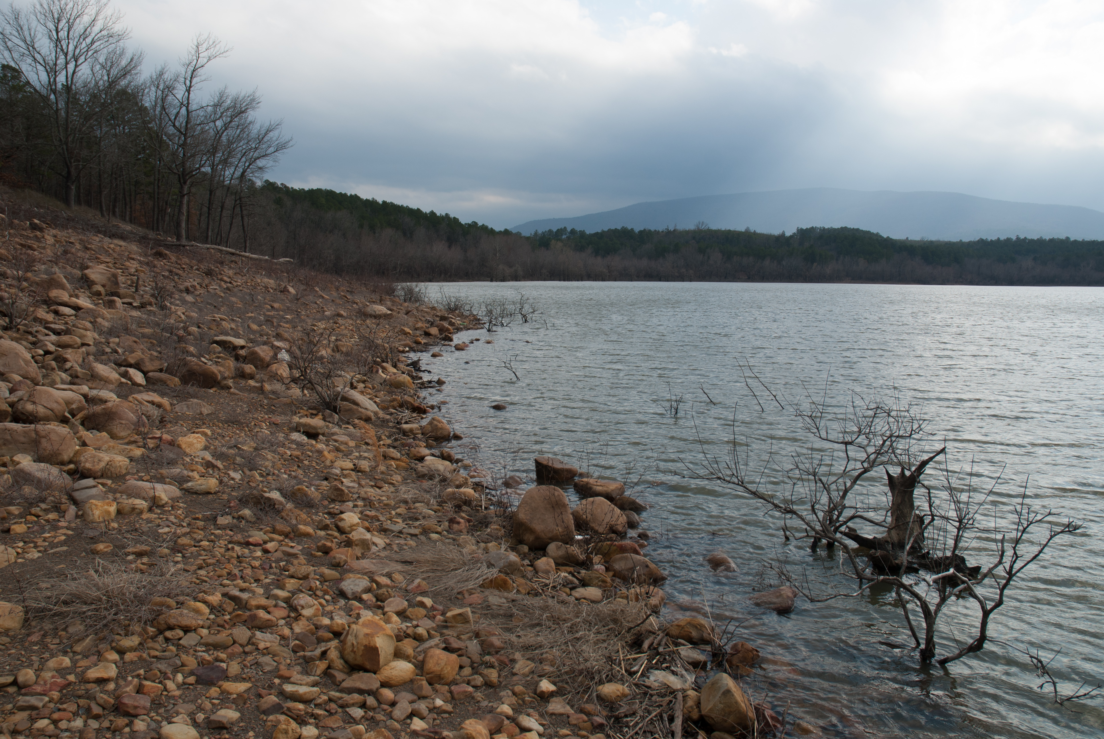
Blue Mountain Lake, Arkansas
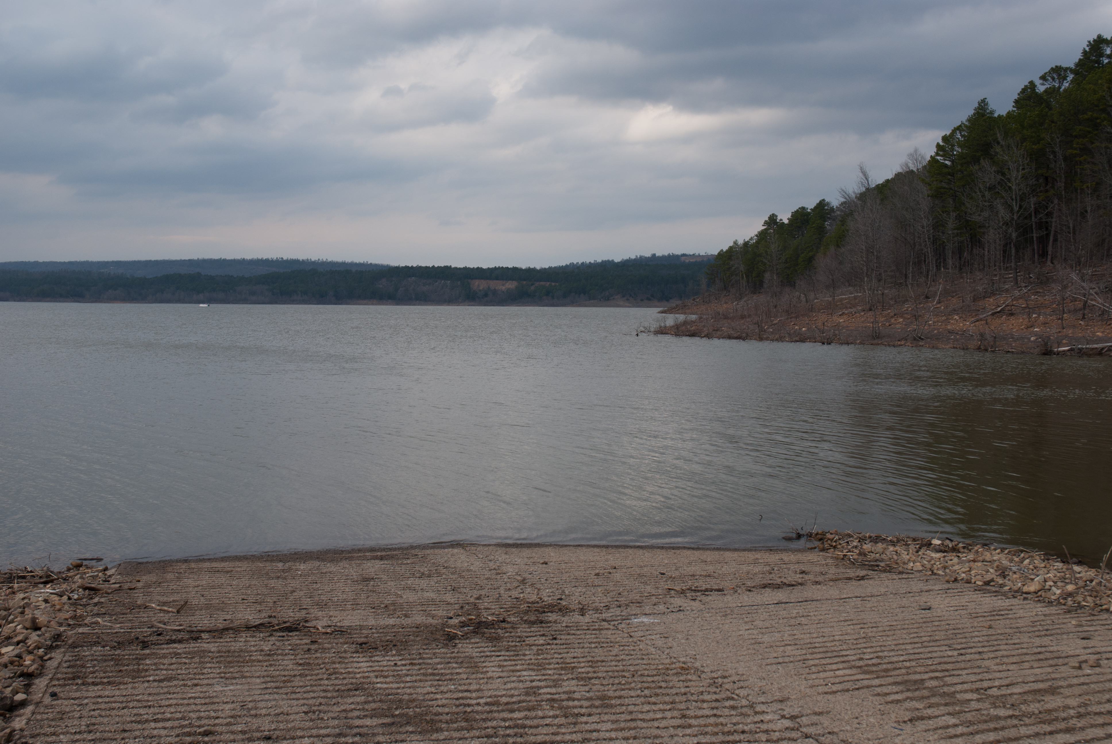
Blue Mountain Lake, Arkansas

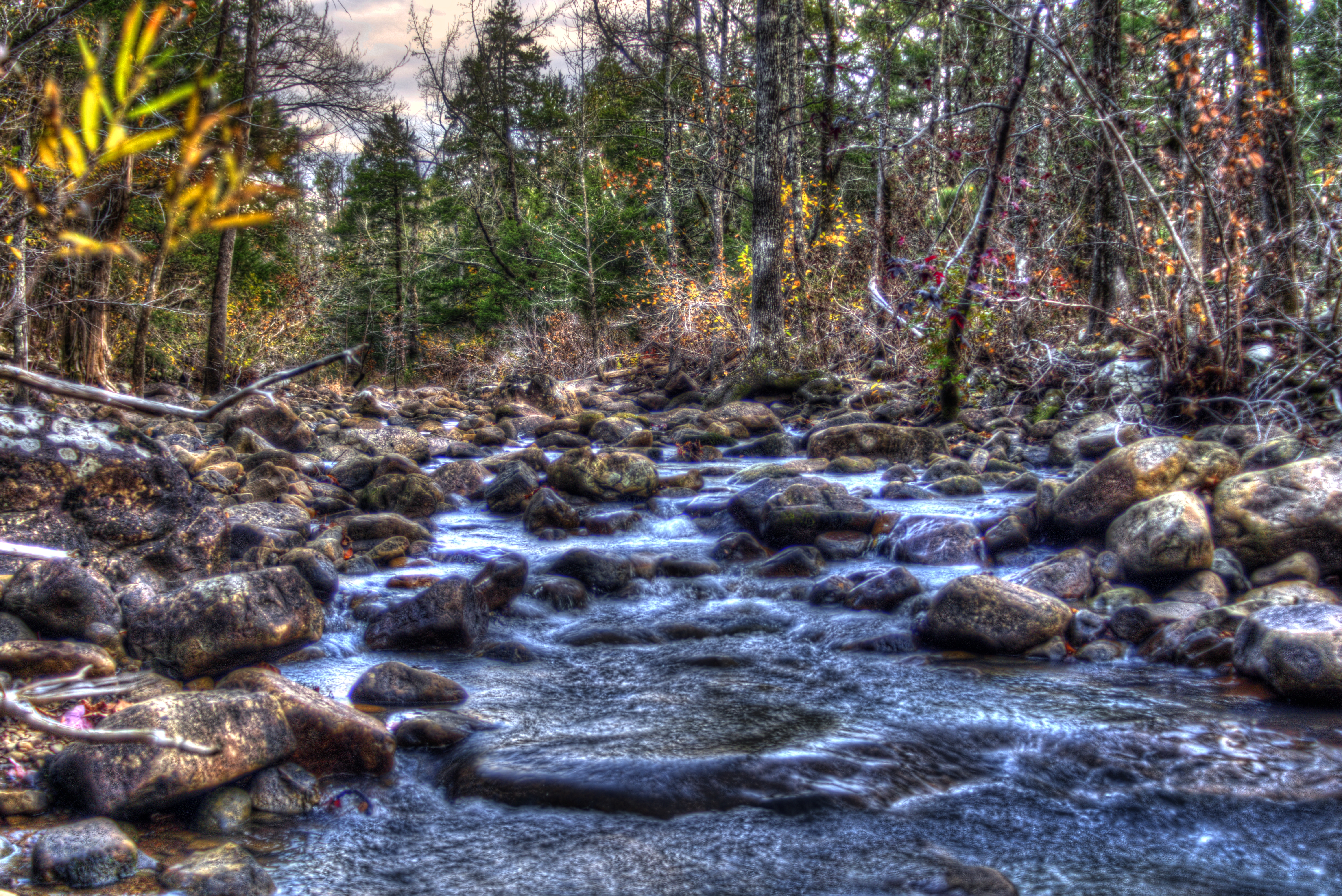
Jack Creek

Blue Mountain Lake, Arkansas
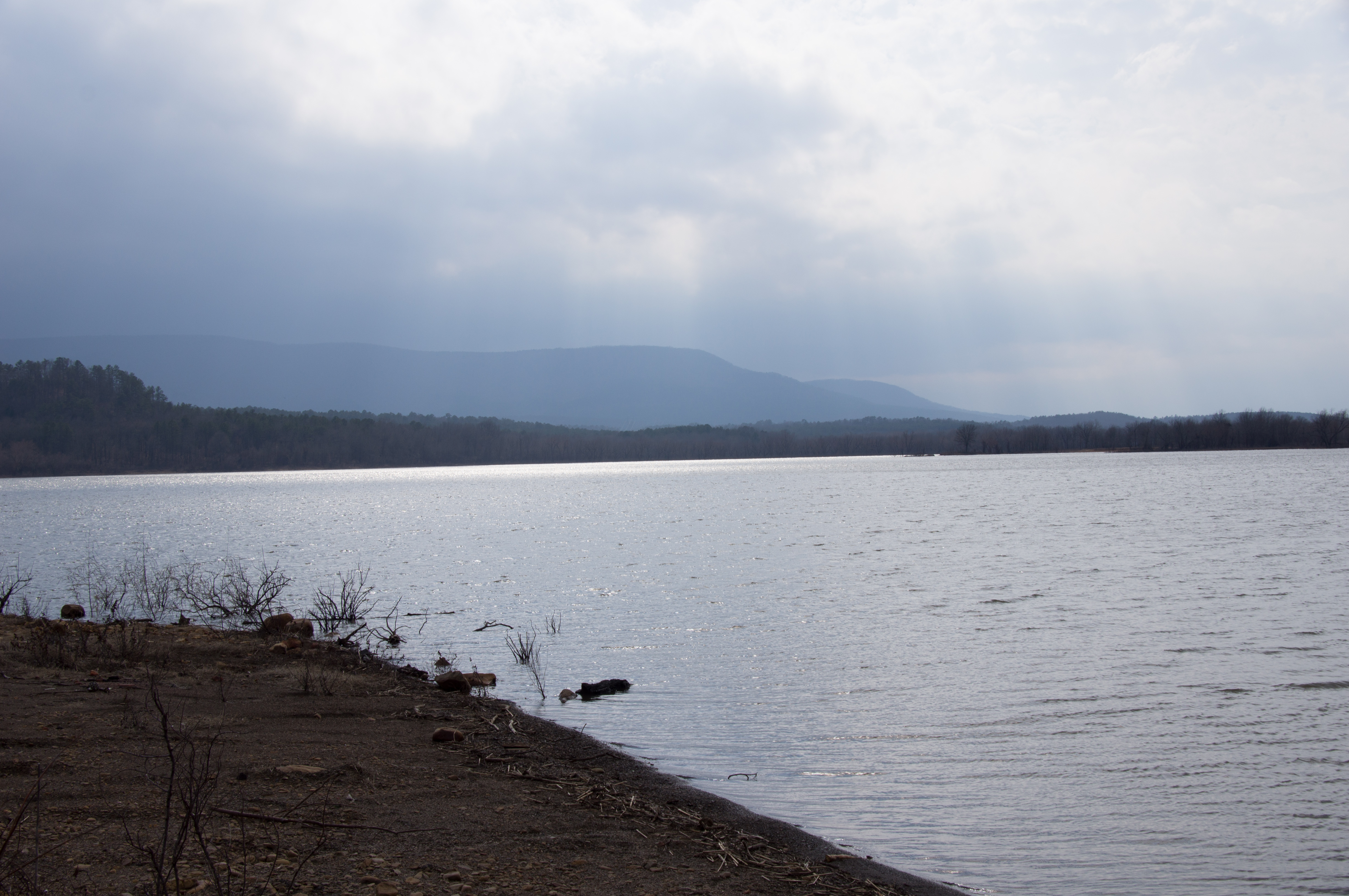
Blue Mountain Lake, Arkansas
Hole in The Ground Mountian
Kingdoodle Knob

Mount Magazine State Park

Abandoned Service Station (7)
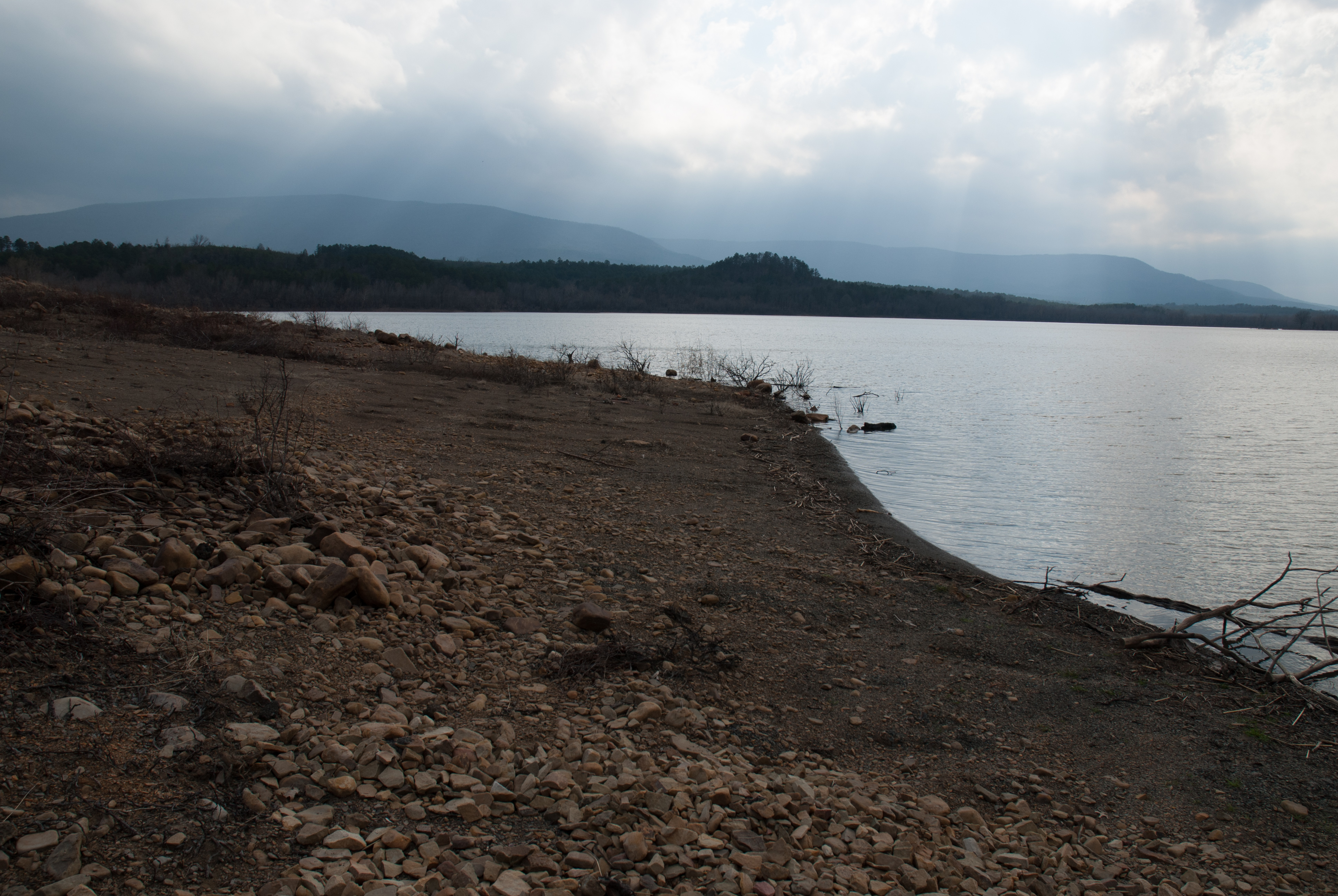
Blue Mountain Lake, Arkansas
Potato Hill
Potato Hill 2
Topographic Map of Sugar Creek Township, AR, USA
Find elevation by address:

Places in Sugar Creek Township, AR, USA:
Places near Sugar Creek Township, AR, USA:
63 Starling Ln
Mixon Rd, Booneville, AR, USA
Jack Creek Rd, Booneville, AR, USA
37 County Line Rd, Booneville, AR, USA
214 Parisi Ln
87 W Powell St
60 AR-, Magazine, AR, USA
Magazine
Wisley Rd, Booneville, AR, USA
Petit Jean Township
28 E Main St, Booneville, AR, USA
Booneville
Boone Township
Cauthron Township
AR-23, Booneville, AR, USA
Blue Mountain Township
Logan St, Blue Mountain, AR, USA
Blue Mountain
Hunt Township
AR-, Havana, AR, USA
Recent Searches:
- Elevation of Royal Ontario Museum, Queens Park, Toronto, ON M5S 2C6, Canada
- Elevation of Groblershoop, South Africa
- Elevation of Power Generation Enterprises | Industrial Diesel Generators, Oak Ave, Canyon Country, CA, USA
- Elevation of Chesaw Rd, Oroville, WA, USA
- Elevation of N, Mt Pleasant, UT, USA
- Elevation of 6 Rue Jules Ferry, Beausoleil, France
- Elevation of Sattva Horizon, 4JC6+G9P, Vinayak Nagar, Kattigenahalli, Bengaluru, Karnataka, India
- Elevation of Great Brook Sports, Gold Star Hwy, Groton, CT, USA
- Elevation of 10 Mountain Laurels Dr, Nashua, NH, USA
- Elevation of 16 Gilboa Ln, Nashua, NH, USA