Elevation of AR-23, Booneville, AR, USA
Location: United States > Arkansas > Logan County > Cauthron Township >
Longitude: -93.979688
Latitude: 35.09445
Elevation: 158m / 518feet
Barometric Pressure: 99KPa
Elevation Map:
Satellite Map:
Related Photos:
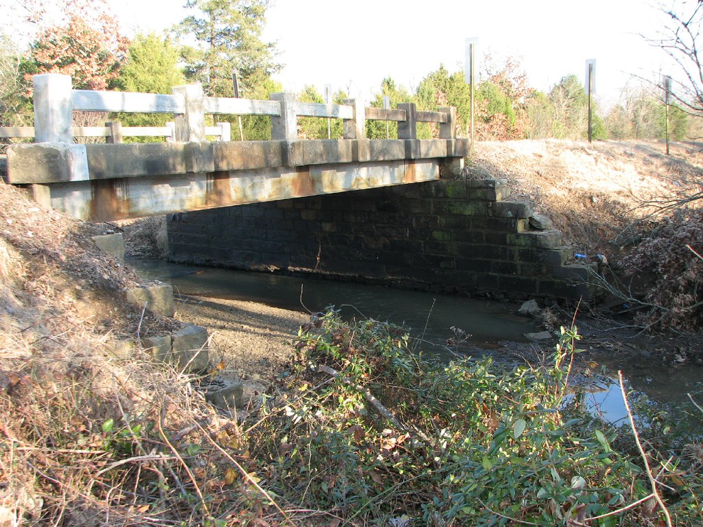
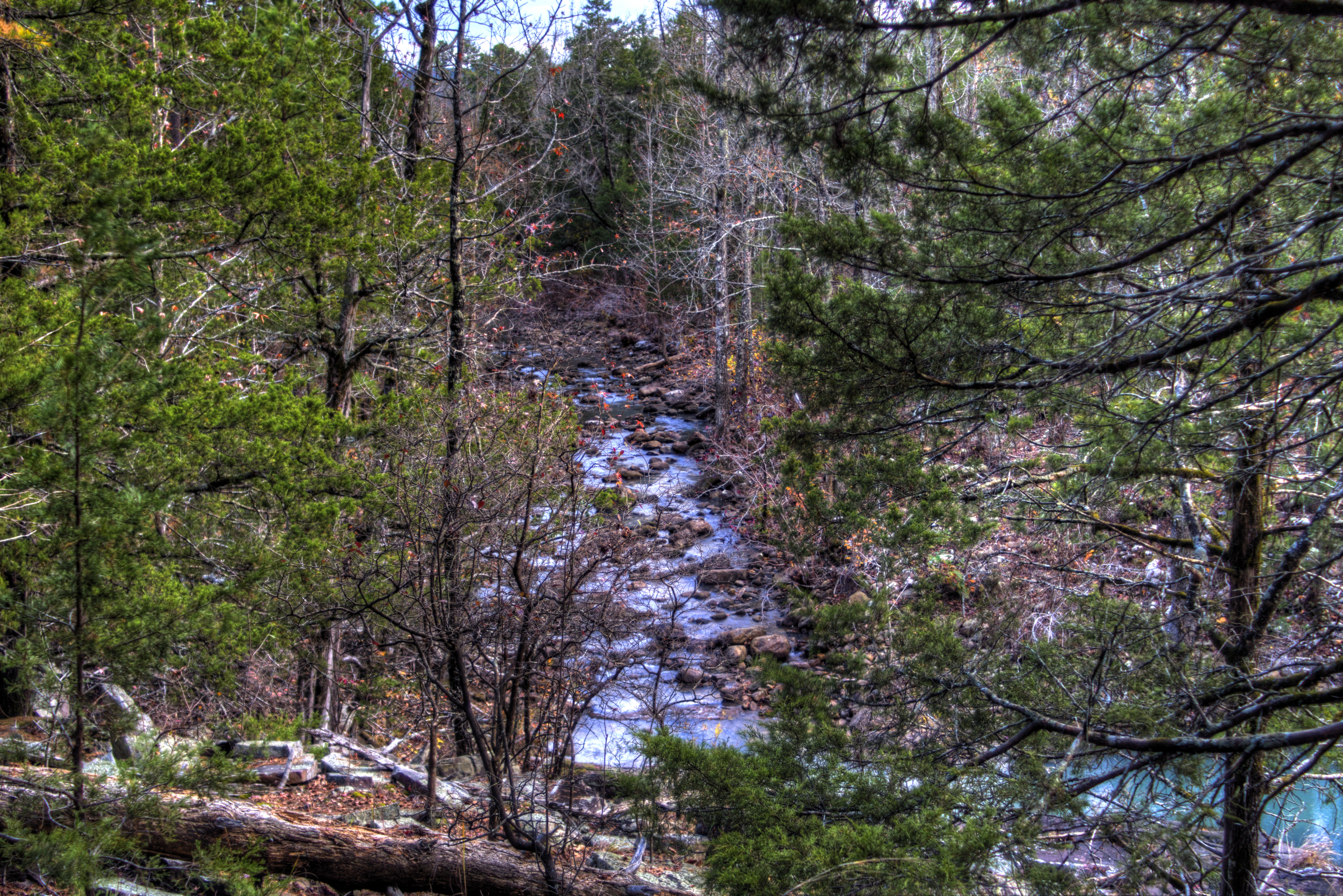
Rattlesnake Creek-Side View
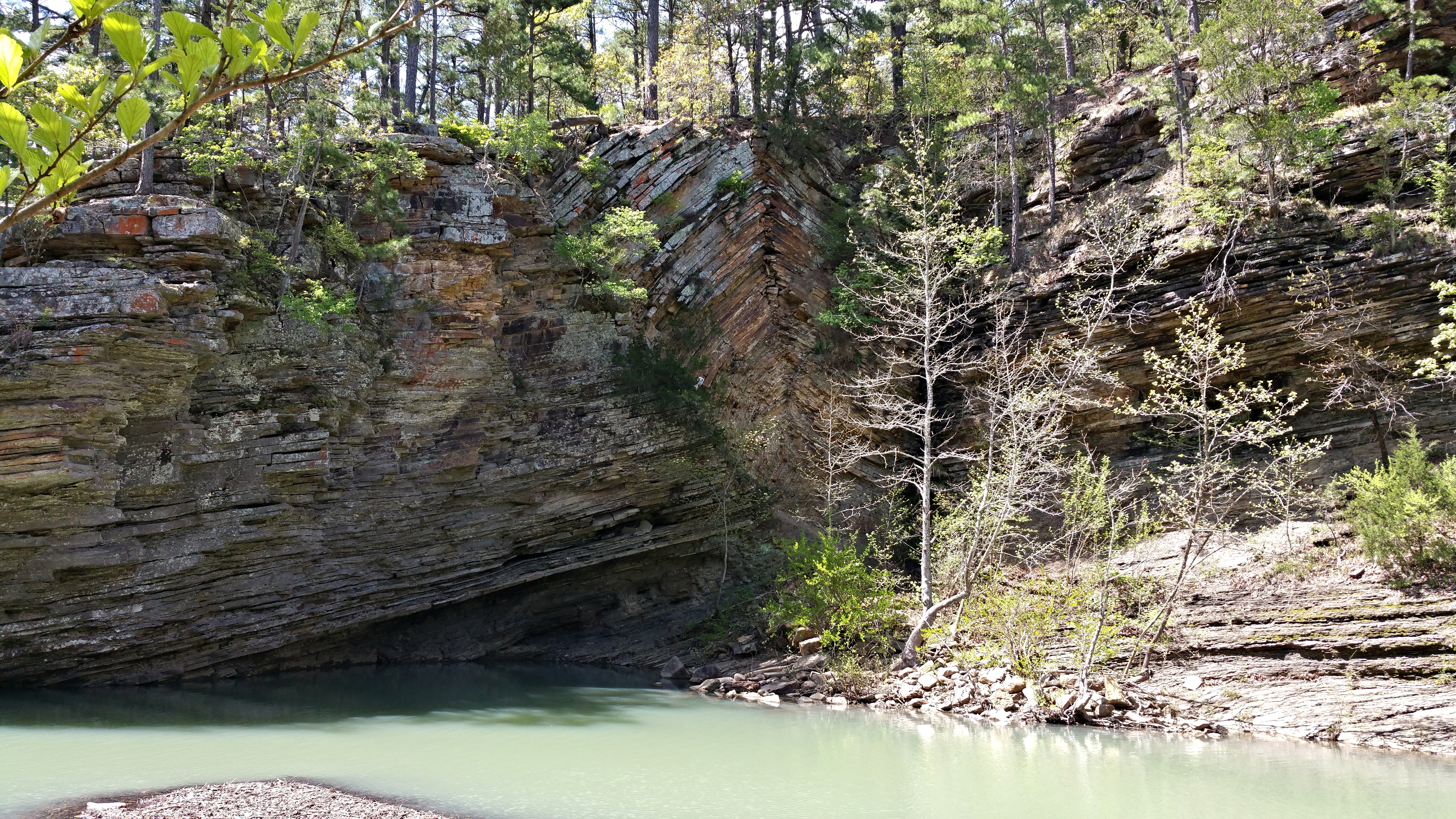
Bluff Hole

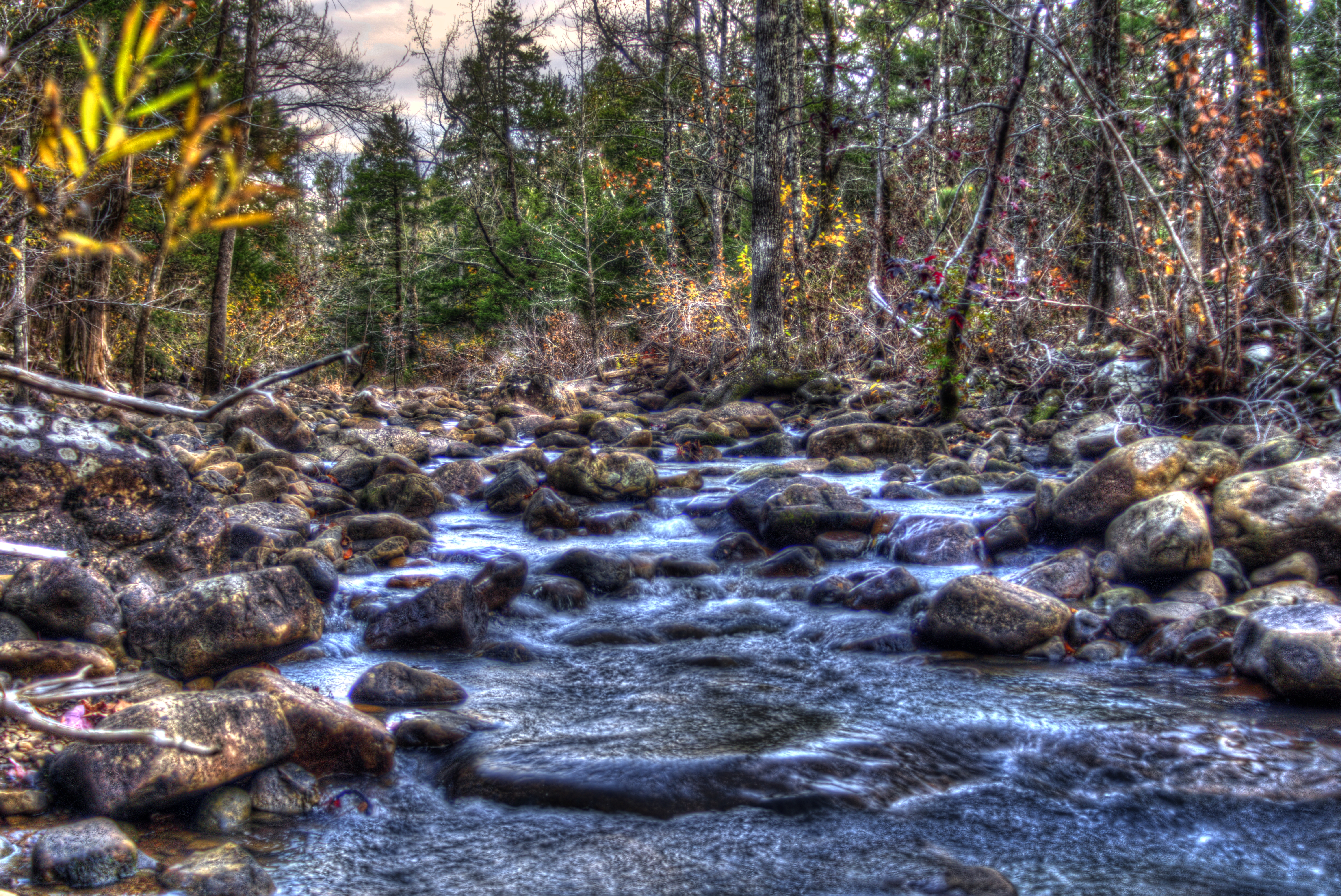
Jack Creek
Hole in The Ground Mountian
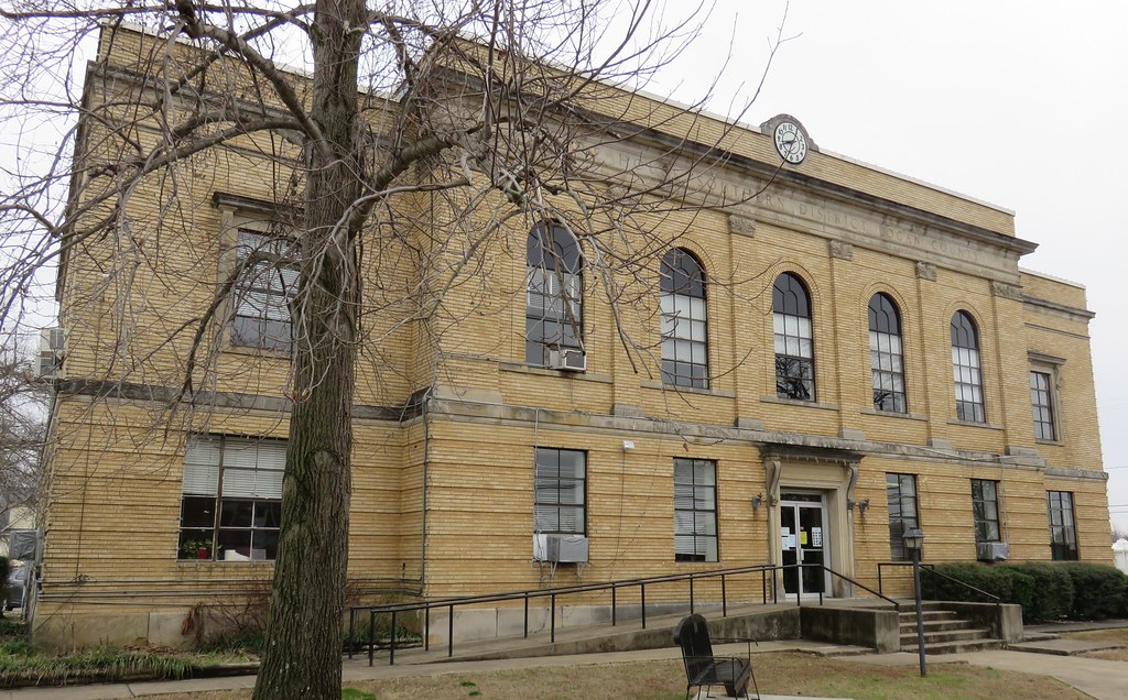
Logan County Courthouse (Booneville, Arkansas)
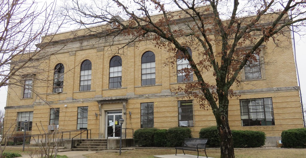
Logan County Courthouse (Booneville, Arkansas)
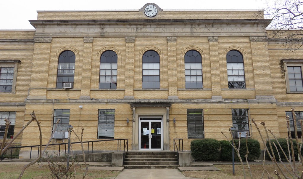
Logan County Courthouse Detail (Booneville, Arkansas)
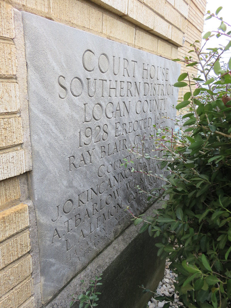
Logan County Courthouse Cornerstone (Booneville, Arkansas)
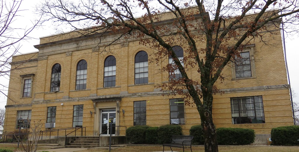
Logan County Courthouse (Booneville, Arkansas)

Booneville Lake
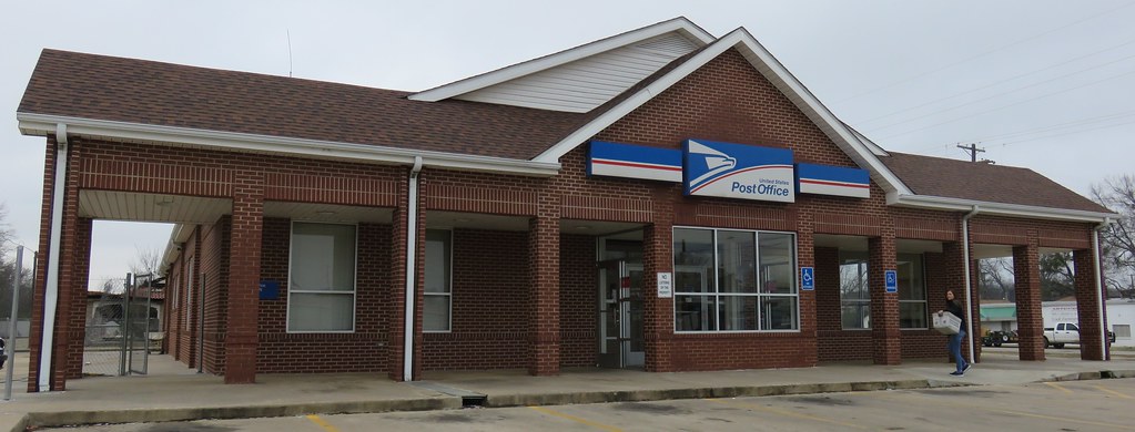
Post Office 72927 (Booneville, Arkansas)
Hole in The Ground Mountian
Pennsylvania. Arkansas. West virginia
Booneville highway
Pennsylvania. Arkansas. West virginia

CAKE Farms

DSCN9678 (2)

Fried Frickles anyone?
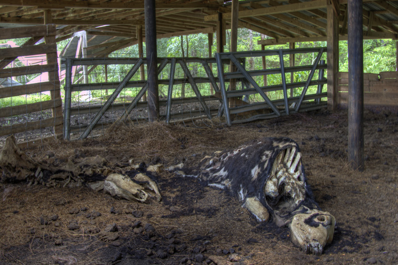
Leathery Bones
Topographic Map of AR-23, Booneville, AR, USA
Find elevation by address:

Places near AR-23, Booneville, AR, USA:
Cauthron Township
Boone Township
Wisley Rd, Booneville, AR, USA
Booneville
28 E Main St, Booneville, AR, USA
80 Ione St, Booneville, AR, USA
Mixon Rd, Booneville, AR, USA
214 Parisi Ln
Barber Township
Tomlinson Township
Jack Creek Rd, Booneville, AR, USA
Sugar Creek Township
Dizzy Dean Rd, Booneville, AR, USA
63 Starling Ln
Echo Rd, Booneville, AR, USA
Whispering Pine Road
87 W Powell St
37 County Line Rd, Booneville, AR, USA
Greenridge Rd, Waldron, AR, USA
Magazine
Recent Searches:
- Elevation of Côte-des-Neiges, Montreal, QC H4A 3J6, Canada
- Elevation of Bobcat Dr, Helena, MT, USA
- Elevation of Zu den Ihlowbergen, Althüttendorf, Germany
- Elevation of Badaber, Peshawar, Khyber Pakhtunkhwa, Pakistan
- Elevation of SE Heron Loop, Lincoln City, OR, USA
- Elevation of Slanický ostrov, 01 Námestovo, Slovakia
- Elevation of Spaceport America, Co Rd A, Truth or Consequences, NM, USA
- Elevation of Warwick, RI, USA
- Elevation of Fern Rd, Whitmore, CA, USA
- Elevation of 62 Abbey St, Marshfield, MA, USA