Elevation of Petit Jean Township, AR, USA
Location: United States > Arkansas > Logan County >
Longitude: -93.763825
Latitude: 35.046689
Elevation: 524m / 1719feet
Barometric Pressure: 95KPa
Elevation Map:
Satellite Map:
Related Photos:
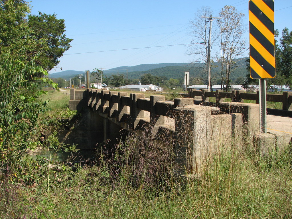
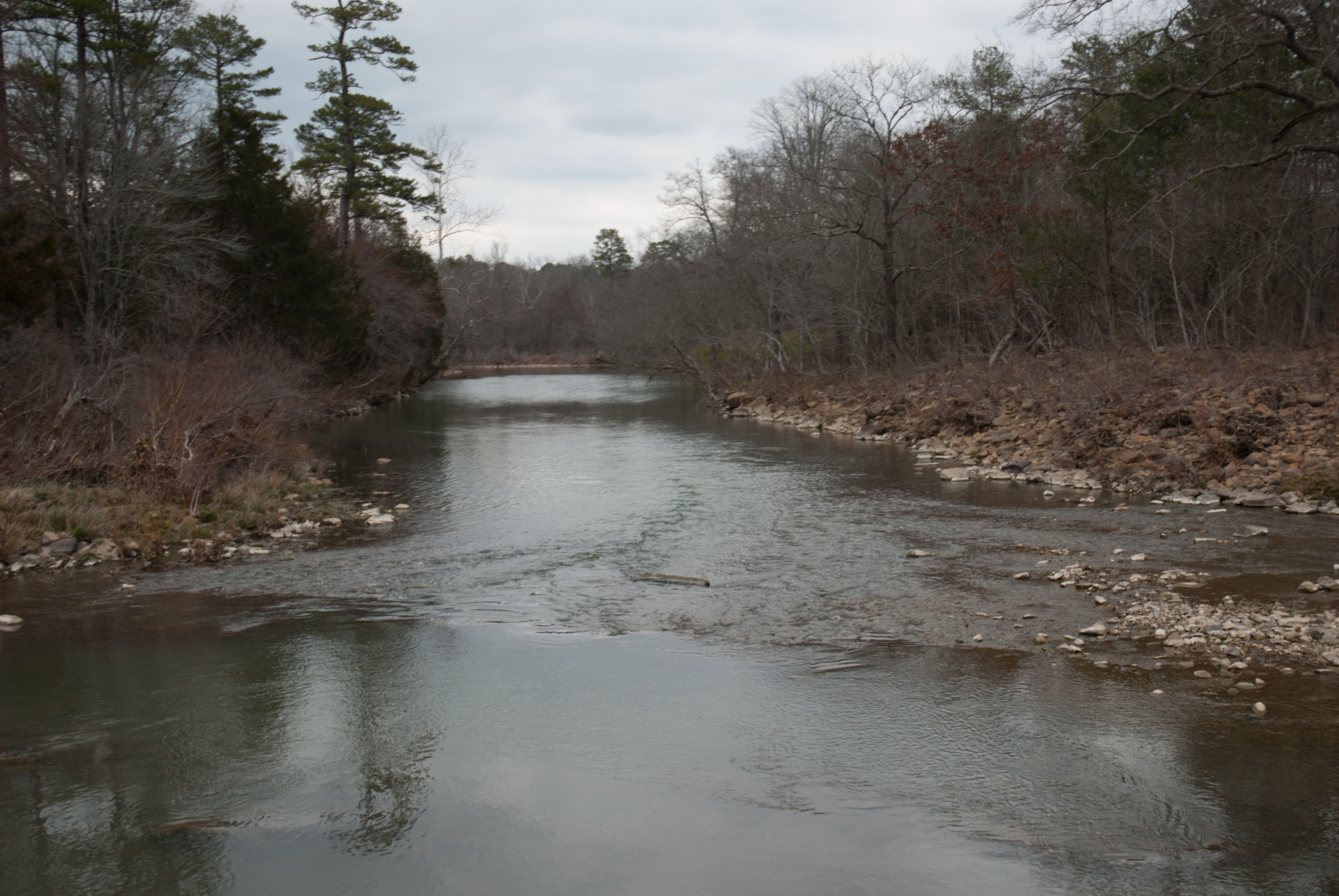
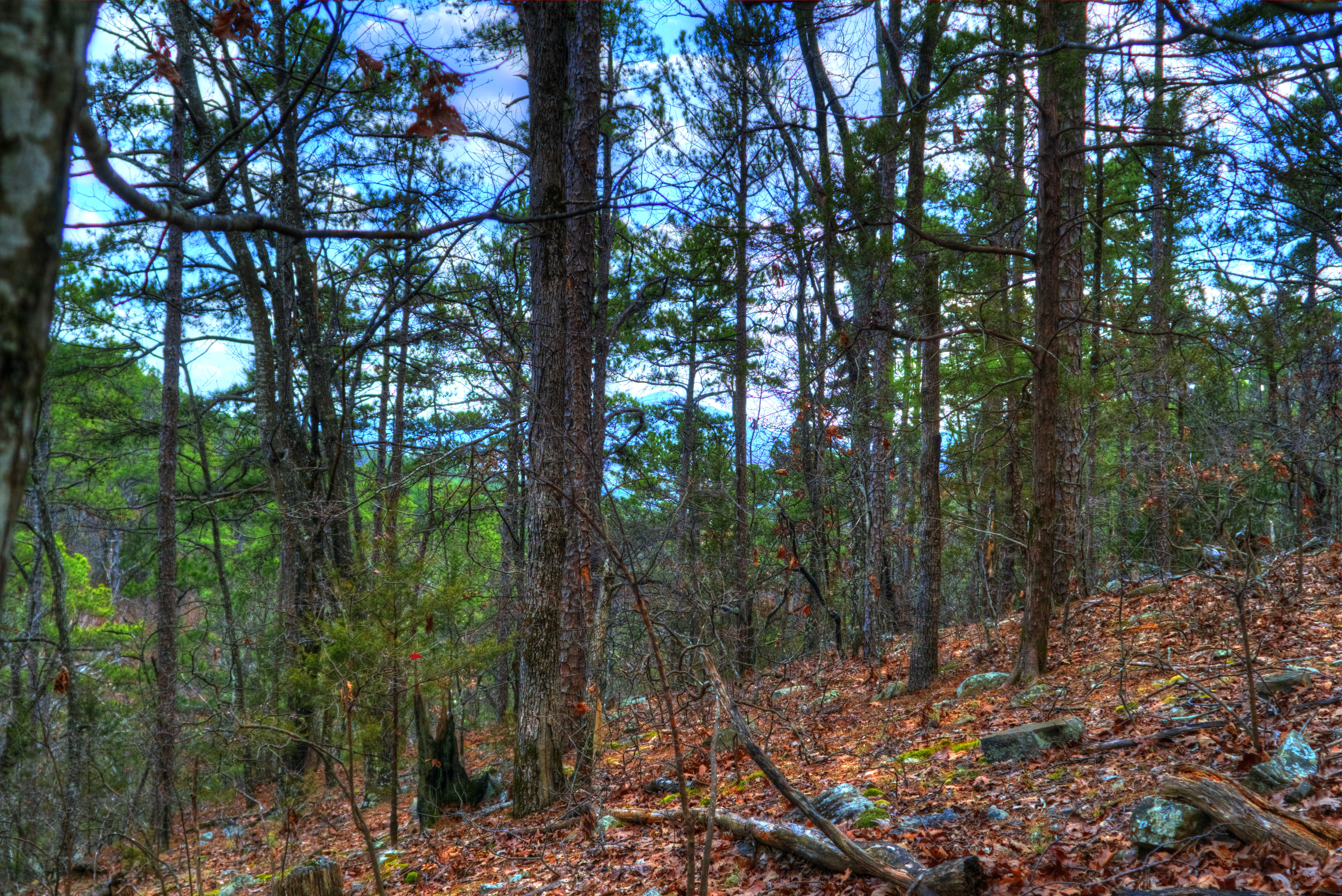
Freedom Creek-Side View
APR_0136.jpg

Sunset at Blue Mountain Lake
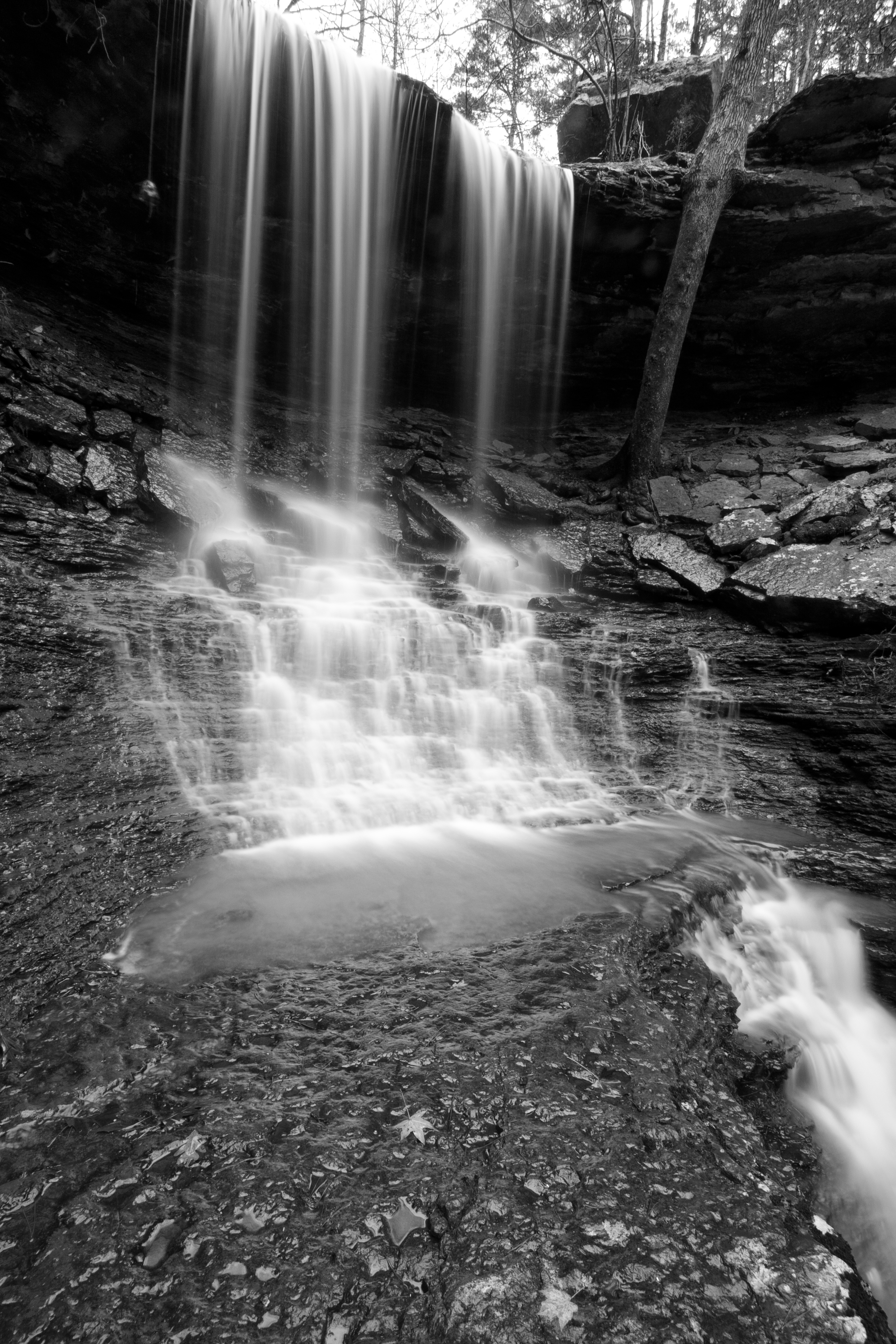
Mitchell Branch Falls 1
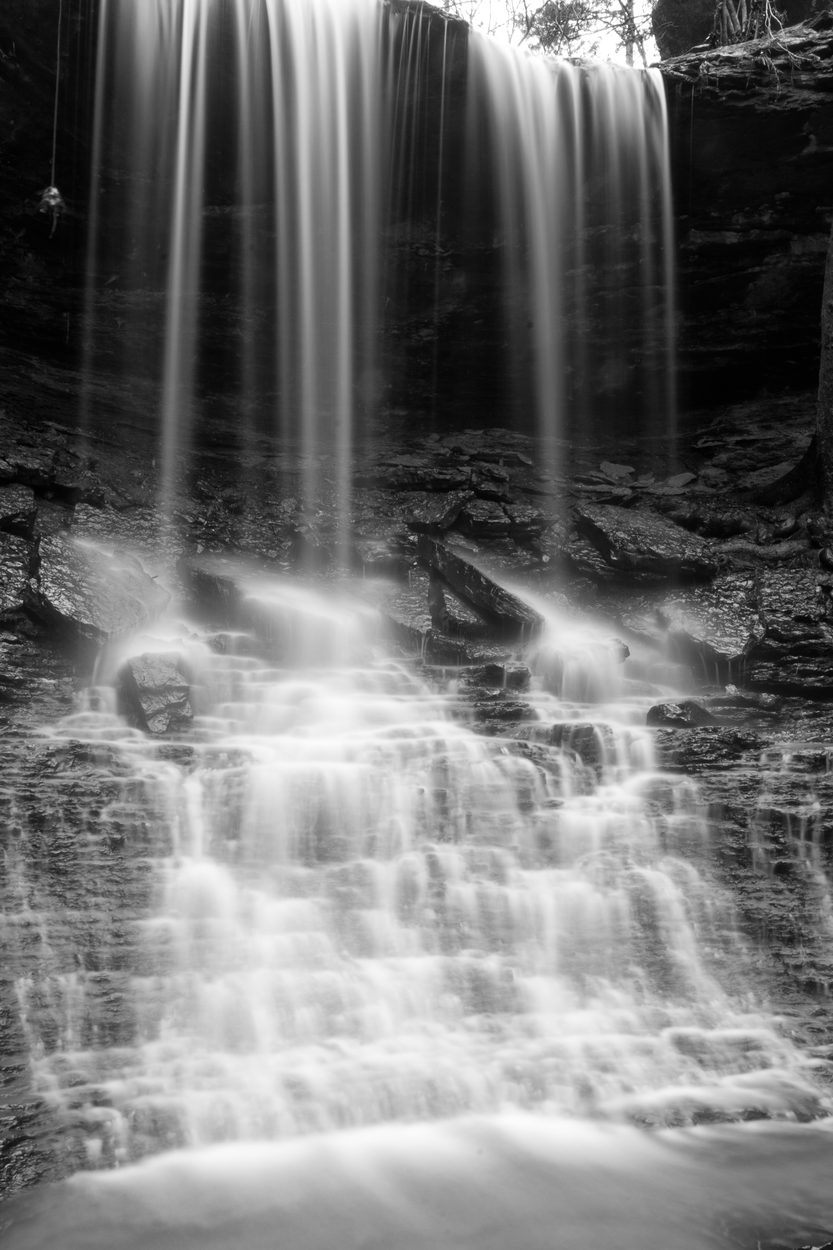
Mitchell Branch Falls 3
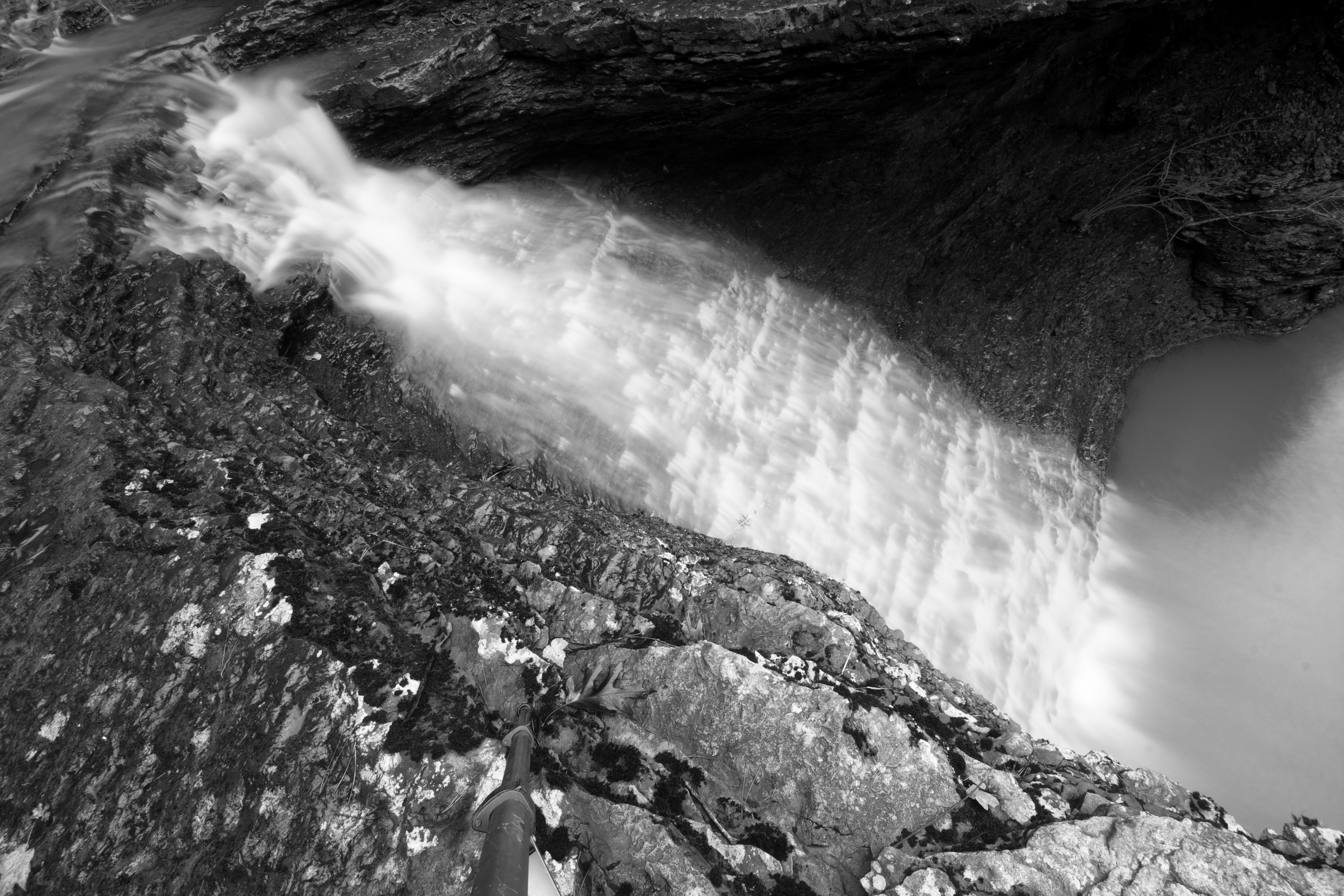
Mitchell Branch Falls 2
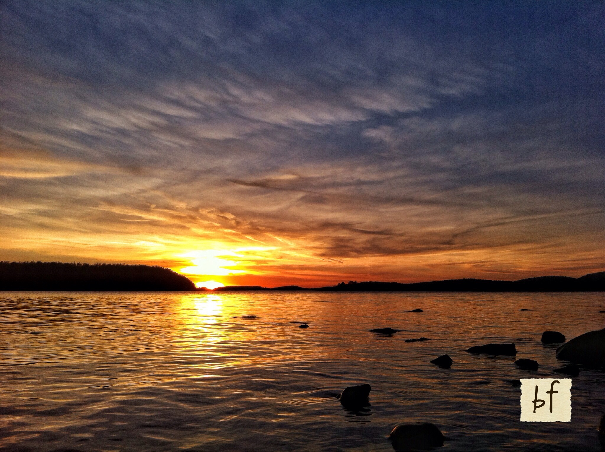
Sunset at Blue Mtn Lake 2.16.14
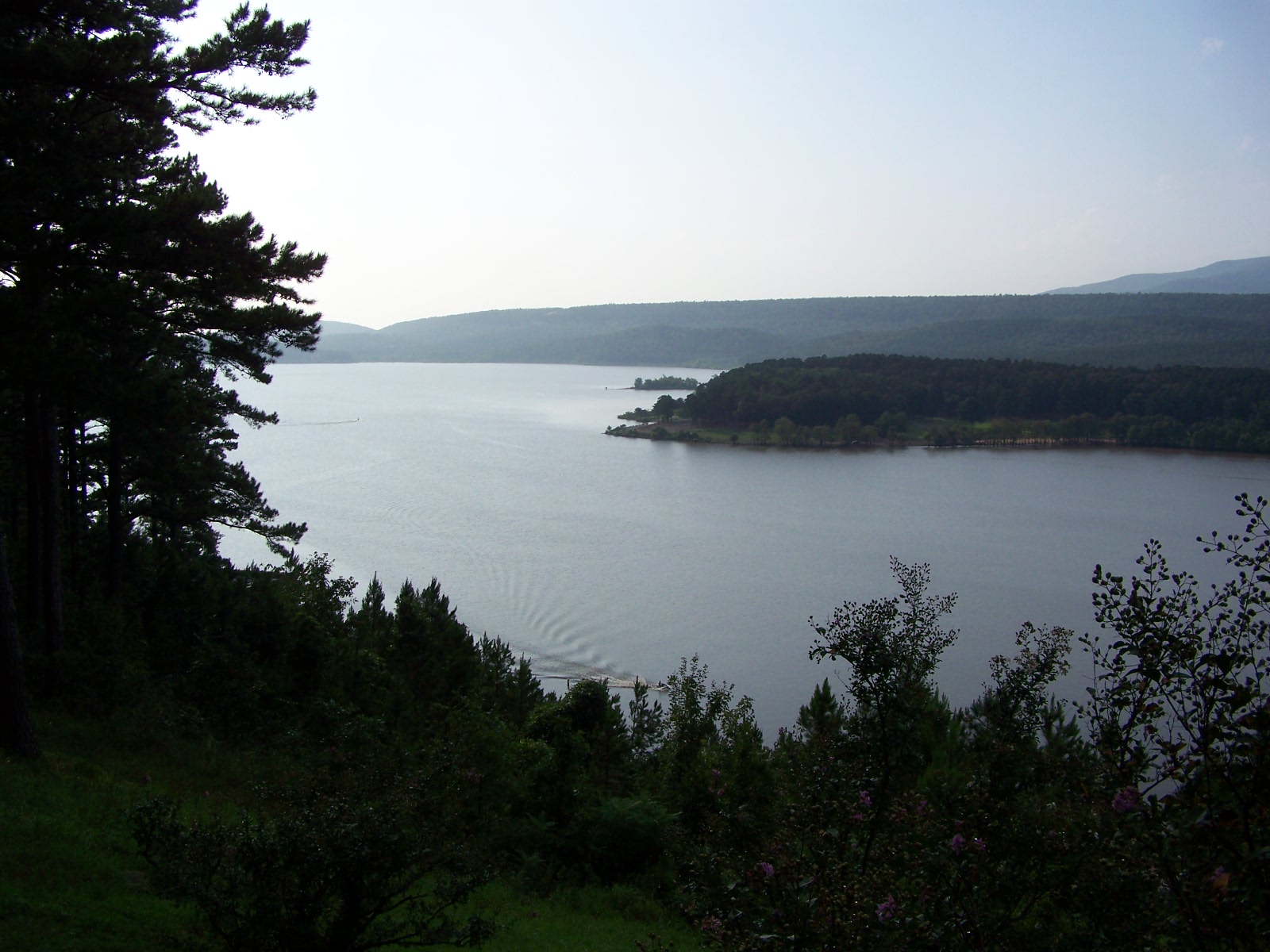
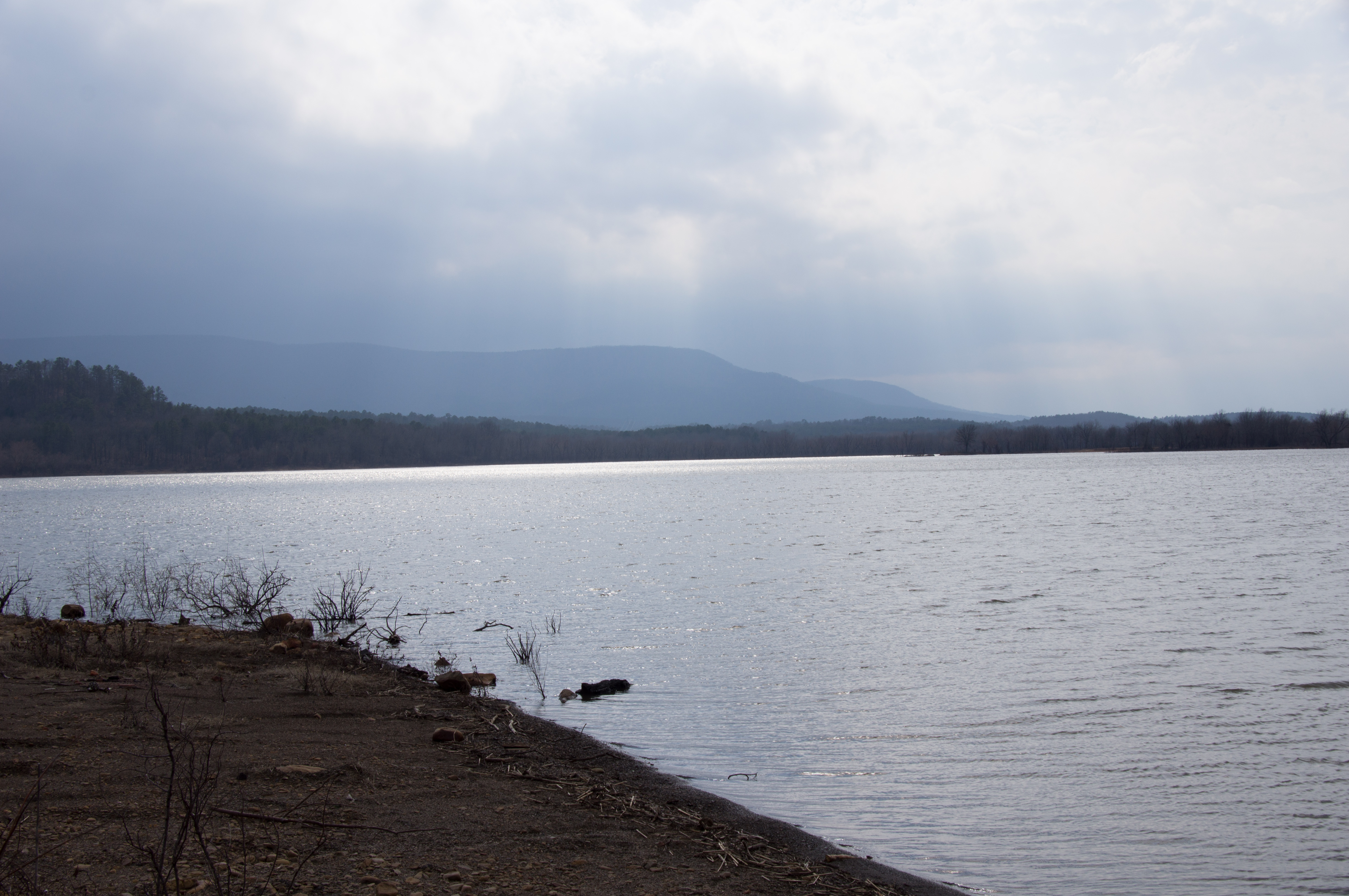
Blue Mountain Lake
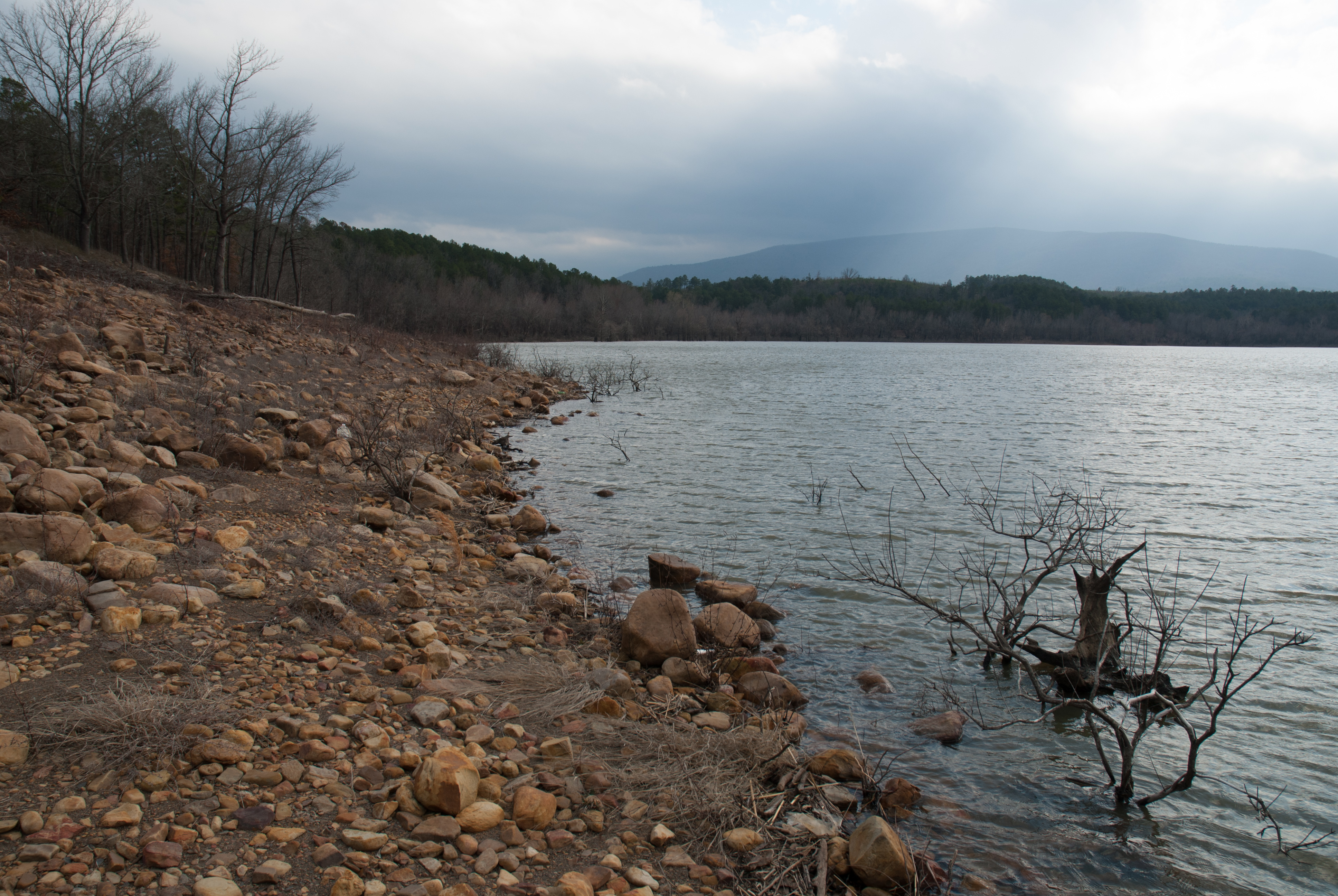
Blue Mountain Lake, Arkansas
Blue Mountain Lake, Arkansas
APR_0129.jpg

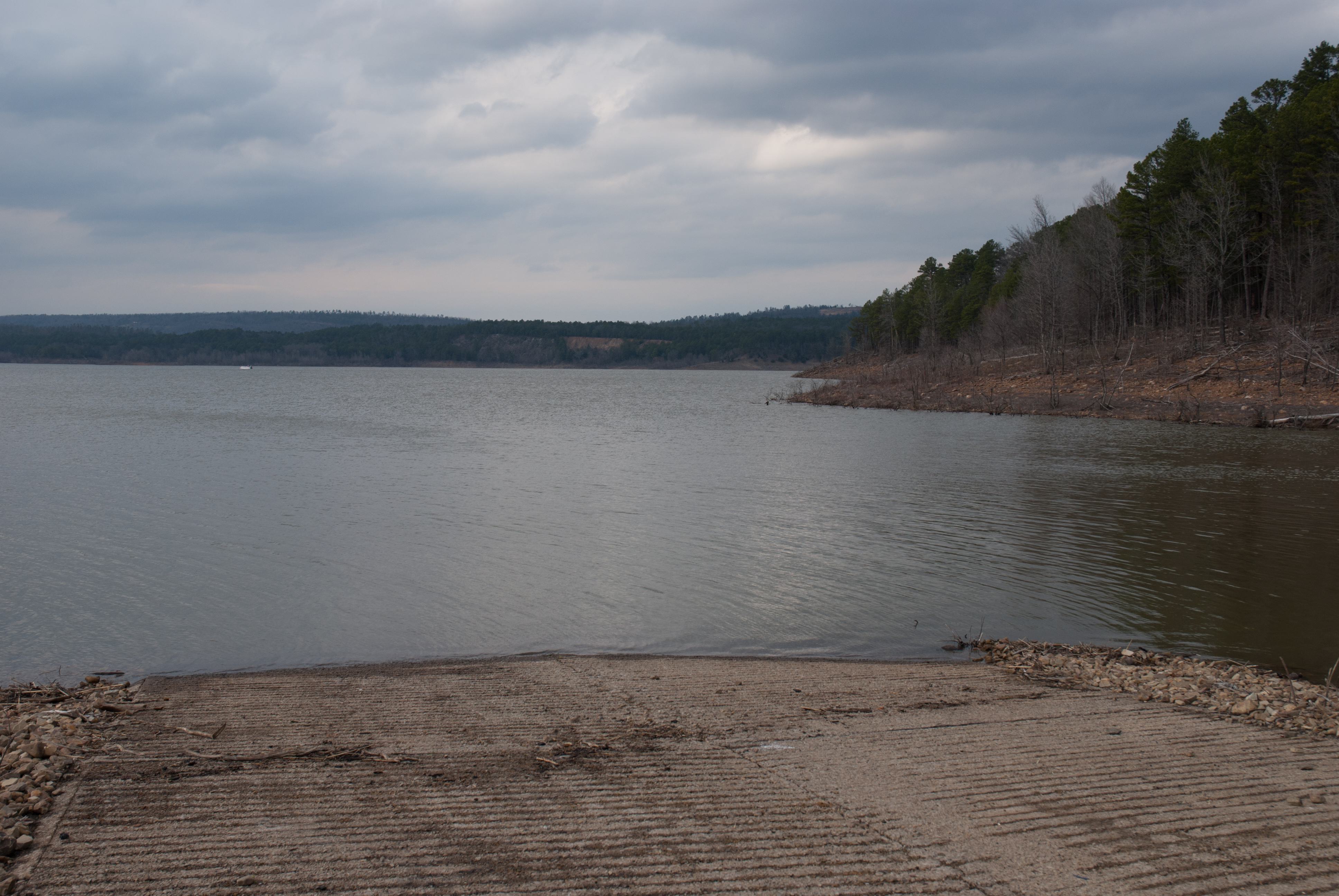
Blue Mountain Lake, Arkansas
Blue Mountain Lake, Arkansas
APR_0131.jpg
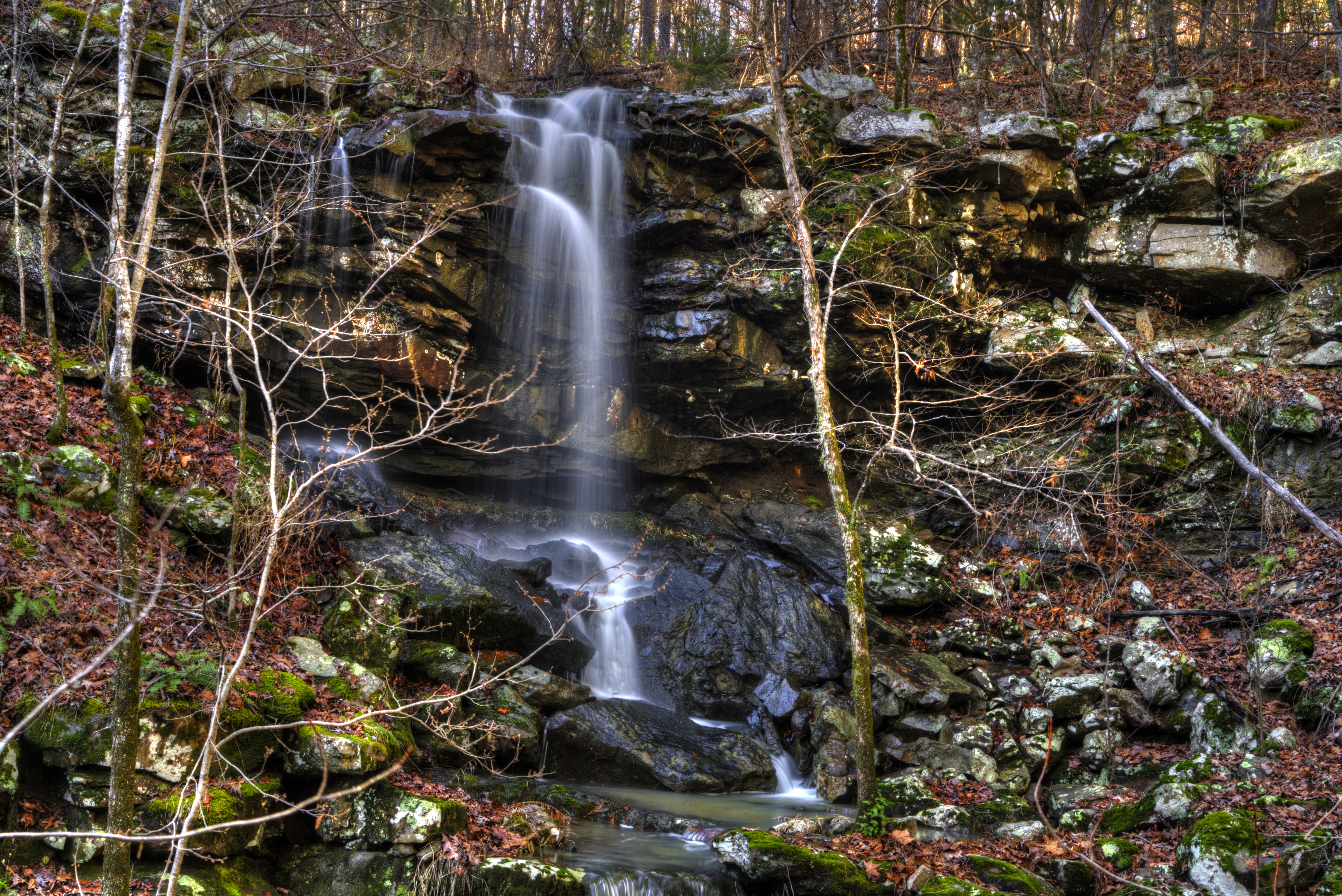
Mitchell Branch Falls
Mitchell Branch Falls
Potato Hill 2
2016-09-03-14-11-09
Potato Hill
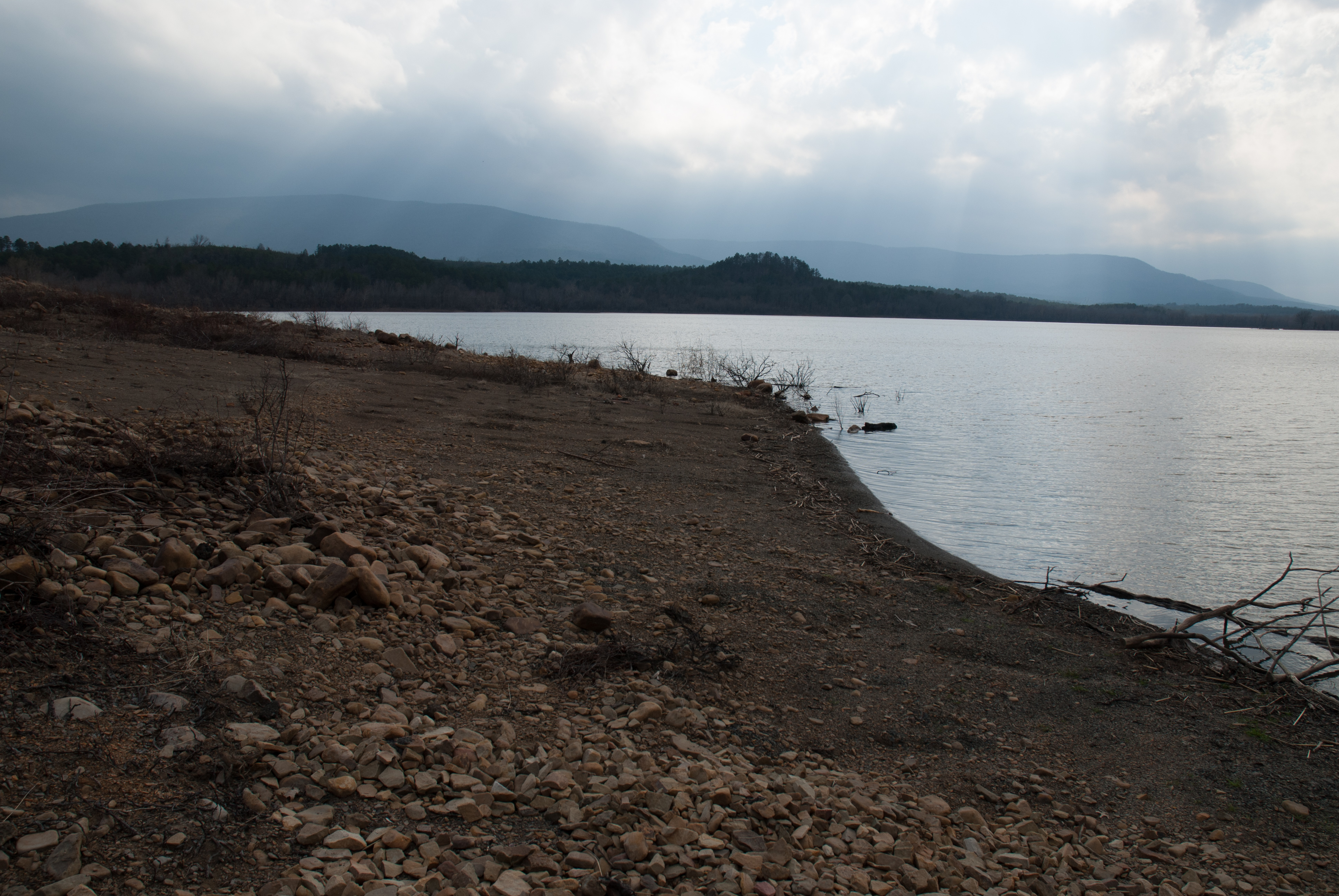
Blue Mountain Lake, Arkansas
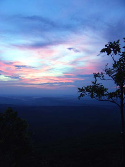
Mt. Magazine Sunset
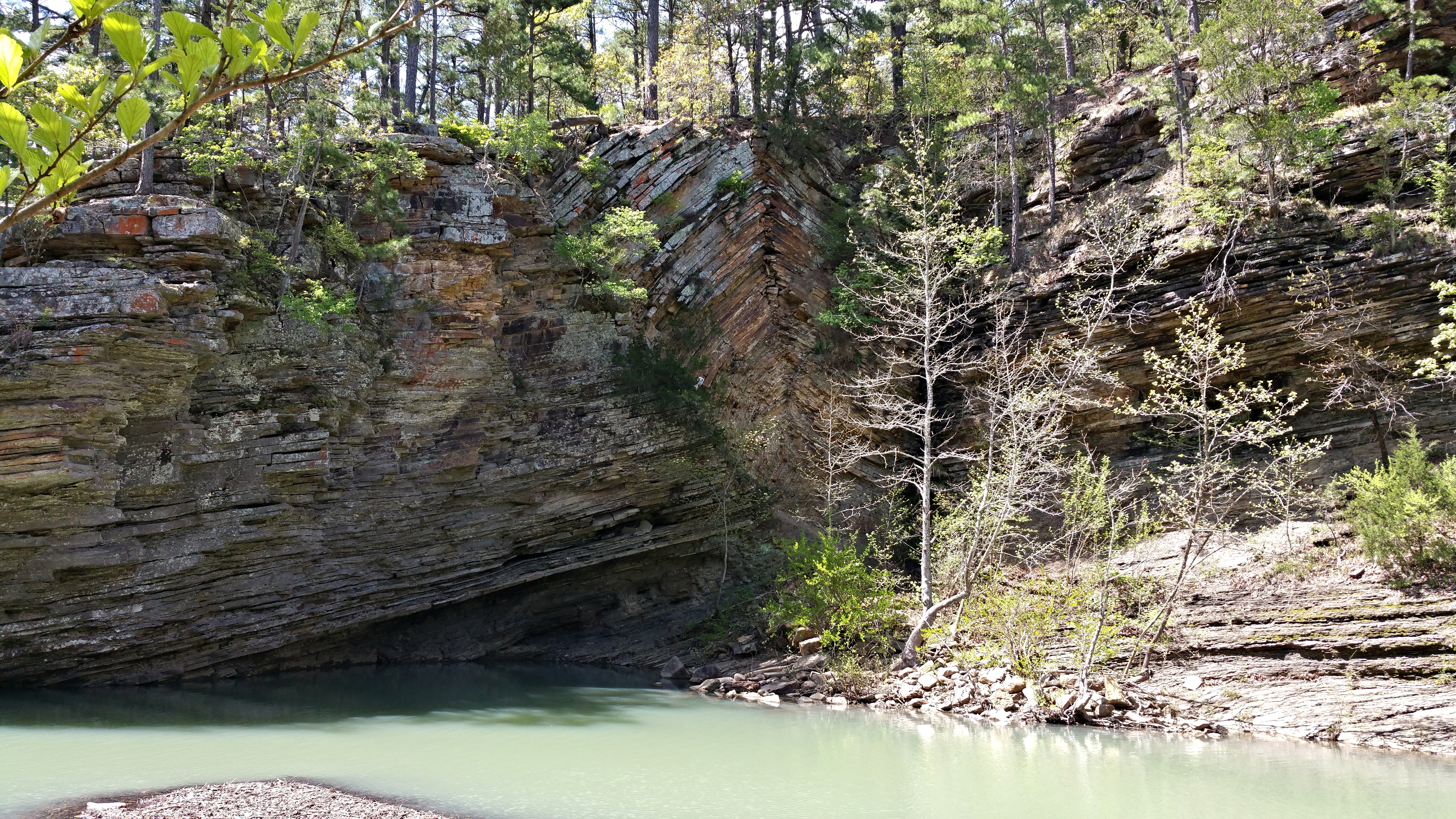
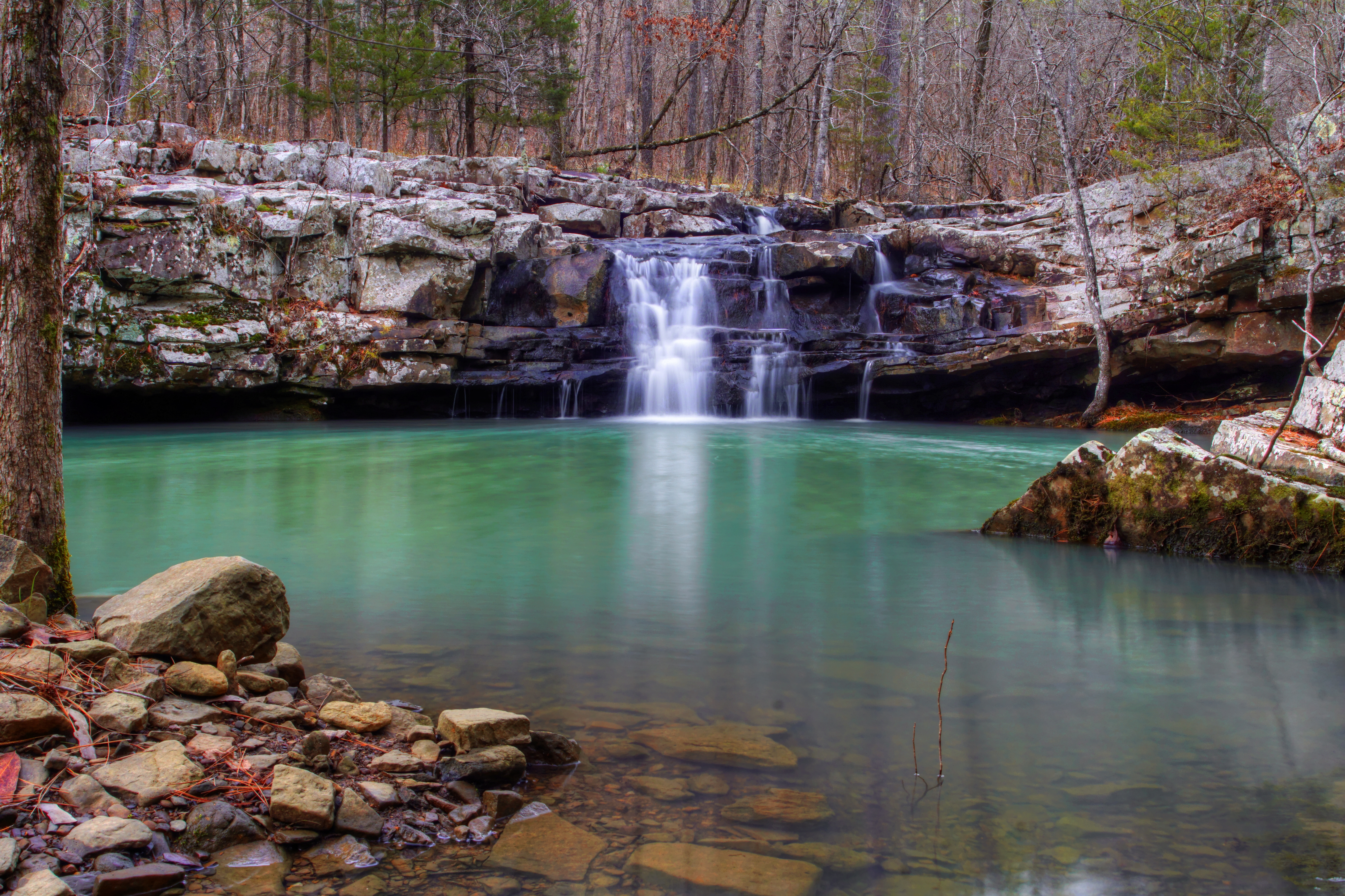
Bluff Hole
Topographic Map of Petit Jean Township, AR, USA
Find elevation by address:

Places in Petit Jean Township, AR, USA:
Places near Petit Jean Township, AR, USA:
37 County Line Rd, Booneville, AR, USA
63 Starling Ln
Hunt Township
AR-, Havana, AR, USA
Sugar Creek Township
Logan St, Blue Mountain, AR, USA
Blue Mountain
AR-80, Danville, AR, USA
Jack Creek Rd, Booneville, AR, USA
Blue Mountain Township
87 W Powell St
60 AR-, Magazine, AR, USA
Magazine
Arkansas 80
214 Parisi Ln
Mixon Rd, Booneville, AR, USA
Dutch Creek Township
AR-80, Waldron, AR, USA
James Township
AR-80, Danville, AR, USA
Recent Searches:
- Elevation of Royal Ontario Museum, Queens Park, Toronto, ON M5S 2C6, Canada
- Elevation of Groblershoop, South Africa
- Elevation of Power Generation Enterprises | Industrial Diesel Generators, Oak Ave, Canyon Country, CA, USA
- Elevation of Chesaw Rd, Oroville, WA, USA
- Elevation of N, Mt Pleasant, UT, USA
- Elevation of 6 Rue Jules Ferry, Beausoleil, France
- Elevation of Sattva Horizon, 4JC6+G9P, Vinayak Nagar, Kattigenahalli, Bengaluru, Karnataka, India
- Elevation of Great Brook Sports, Gold Star Hwy, Groton, CT, USA
- Elevation of 10 Mountain Laurels Dr, Nashua, NH, USA
- Elevation of 16 Gilboa Ln, Nashua, NH, USA