Elevation of James Township, AR, USA
Location: United States > Arkansas > Scott County >
Longitude: -93.845173
Latitude: 34.9120859
Elevation: 207m / 679feet
Barometric Pressure: 99KPa
Elevation Map:
Satellite Map:
Related Photos:
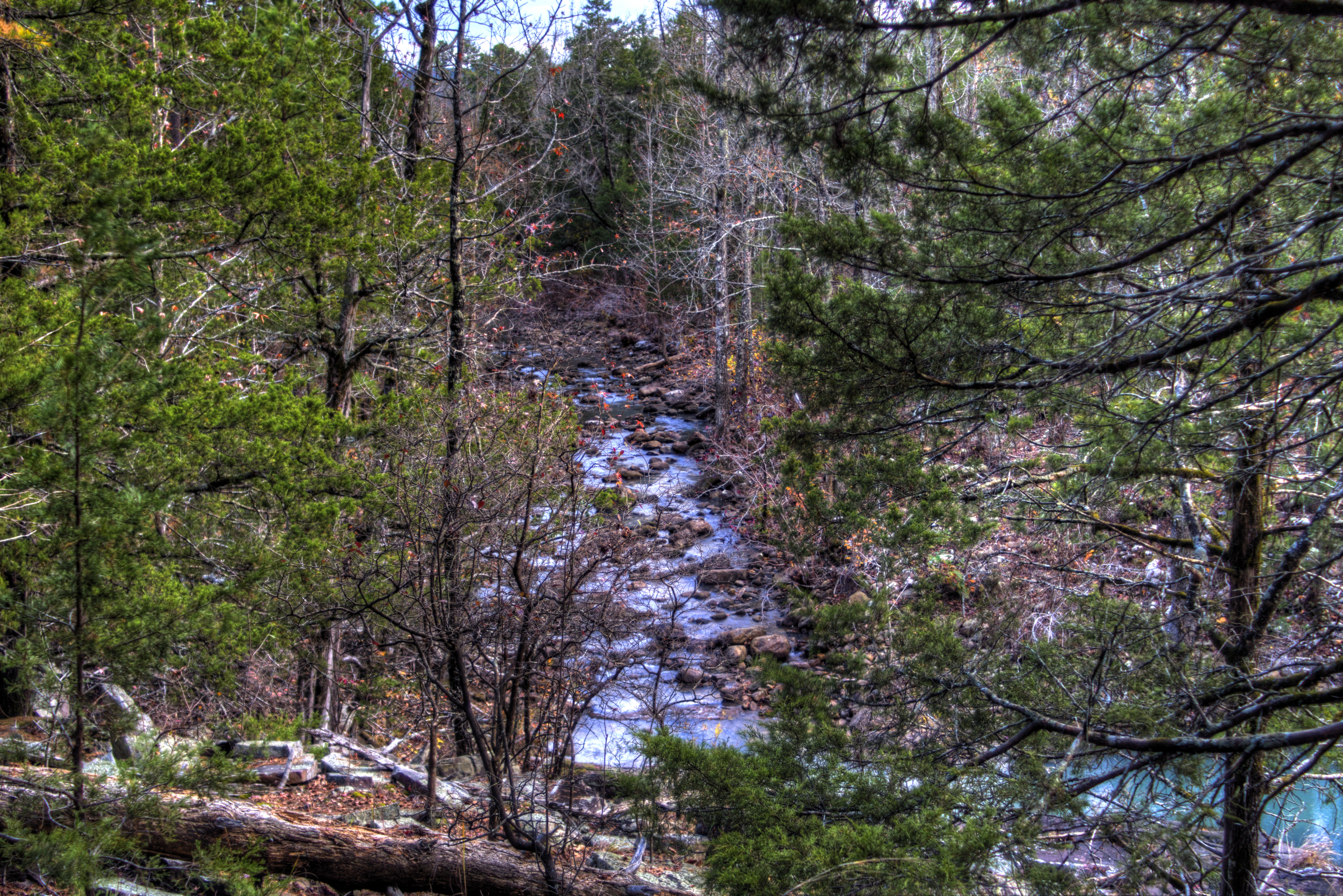
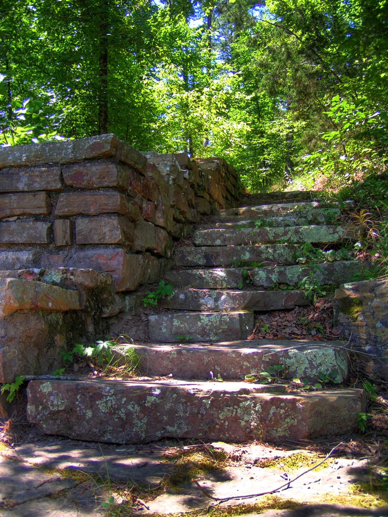
Freedom Creek-Side View
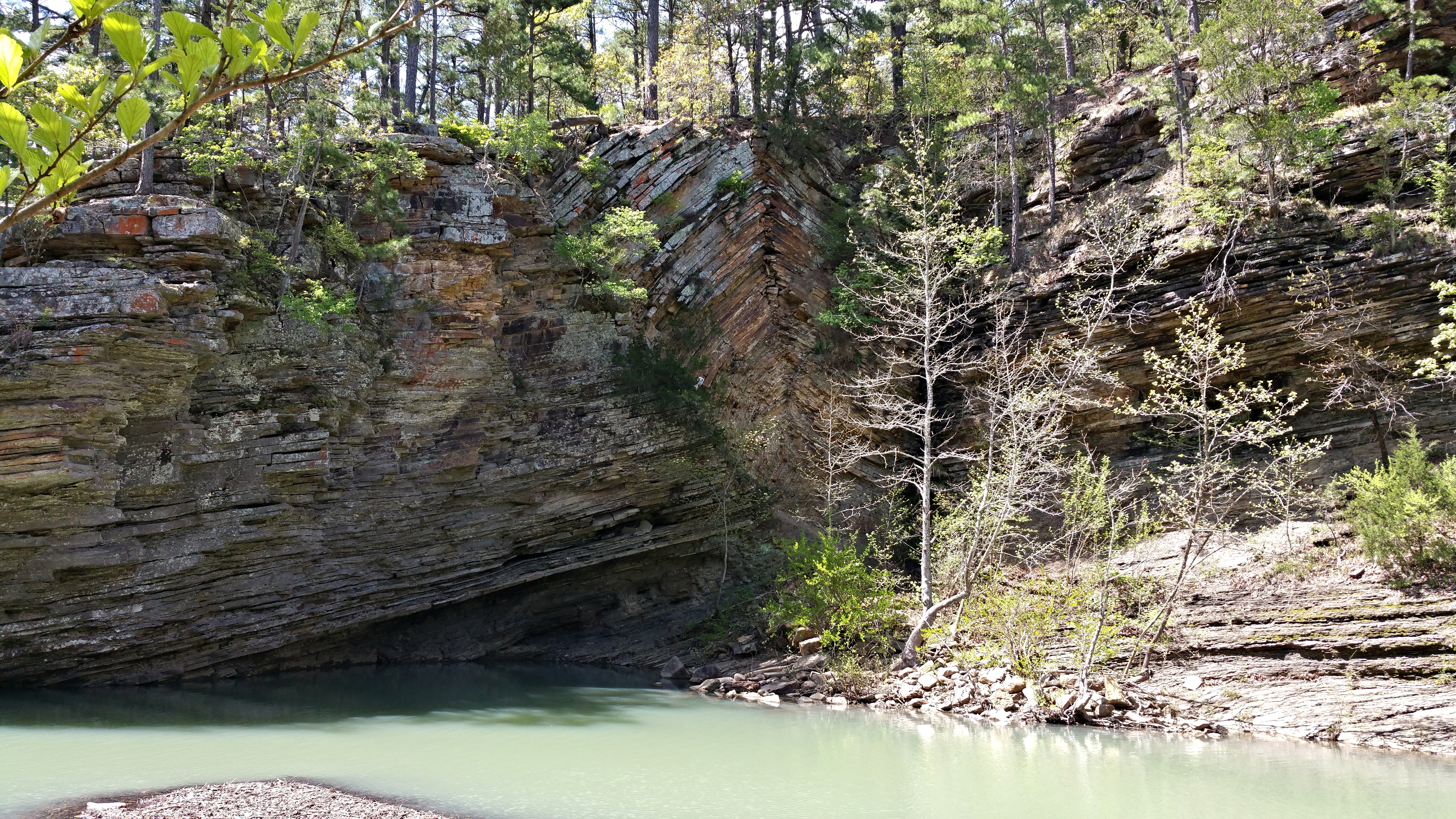
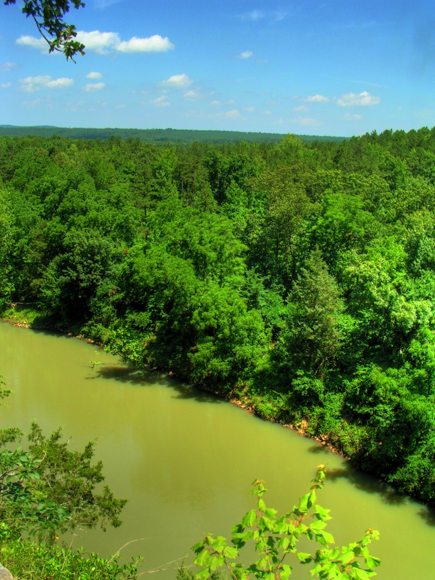
Bluff Hole

Jack Creek
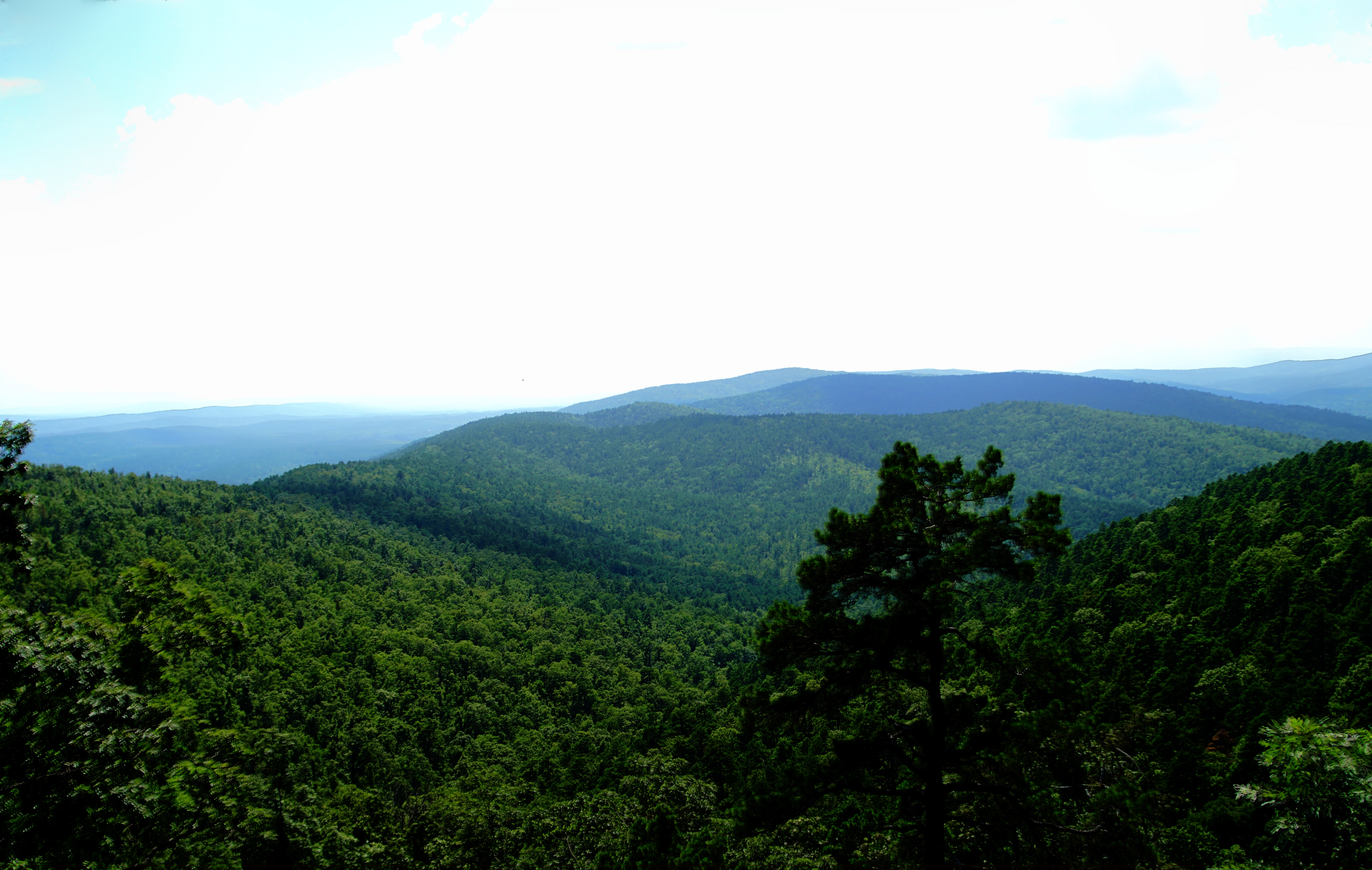
Hole in The Ground Mountian
Kingdoodle Knob
Hole in The Ground Mountian

June 2: 4:00pm

June 2: 11:00am

Waldron, Arkansas
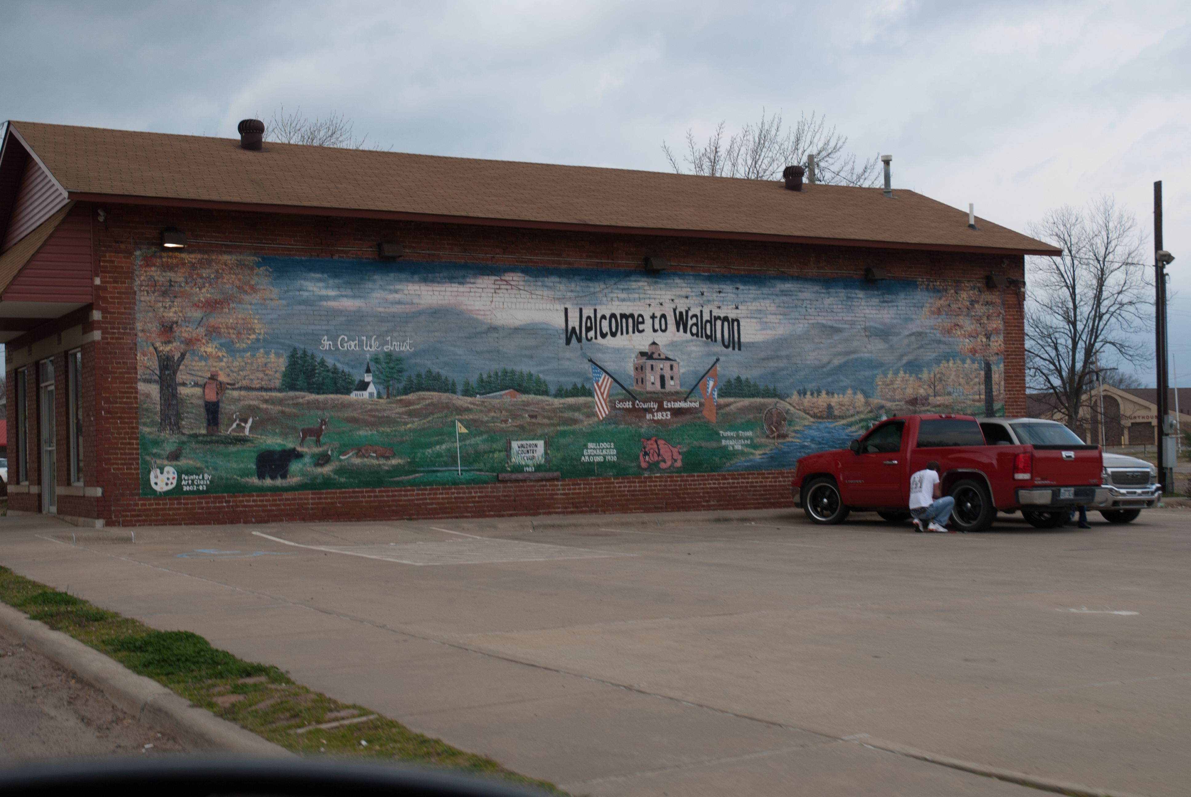
Waldron, Arkansas
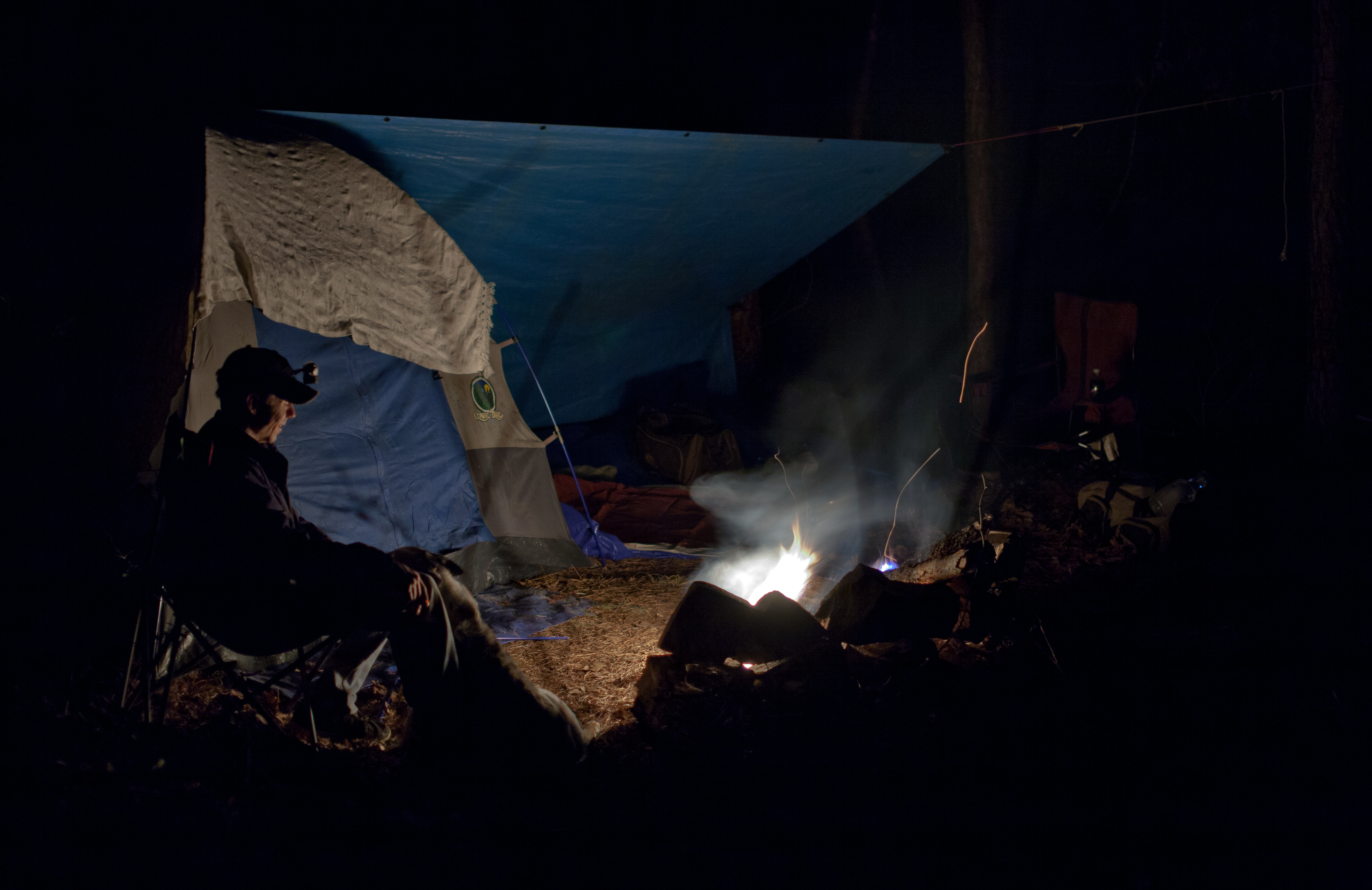
Ready for Dreamland

Starry Night
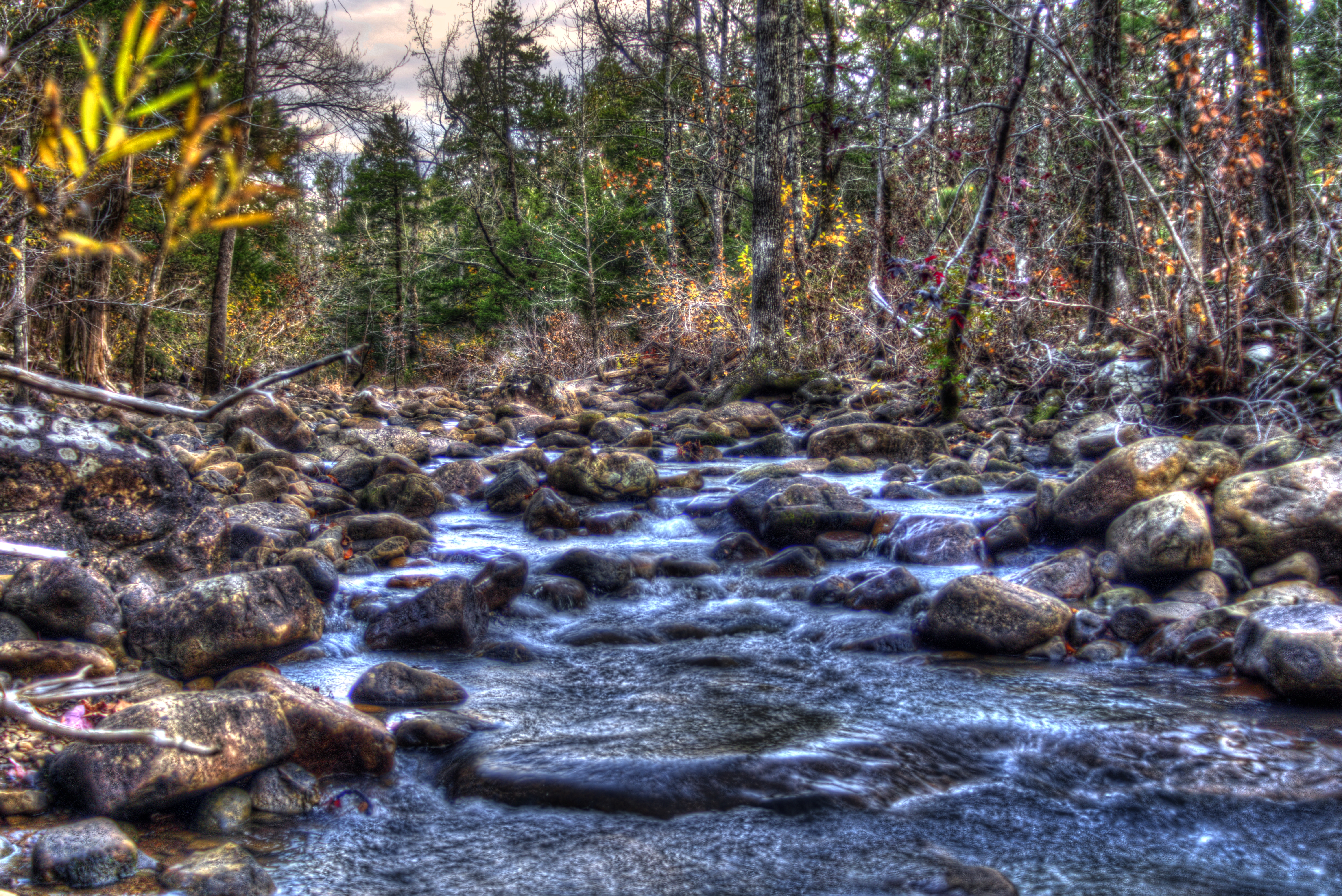
Jack Creek
Jack Creek
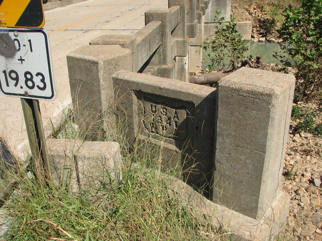
Freedom Creek WPA 1941
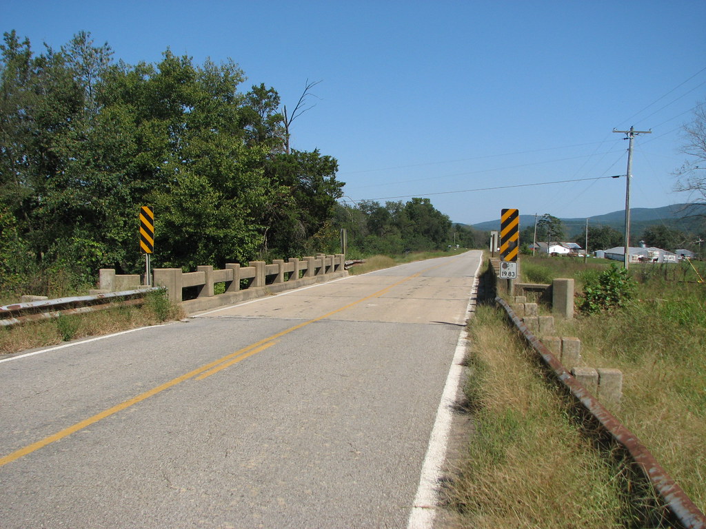
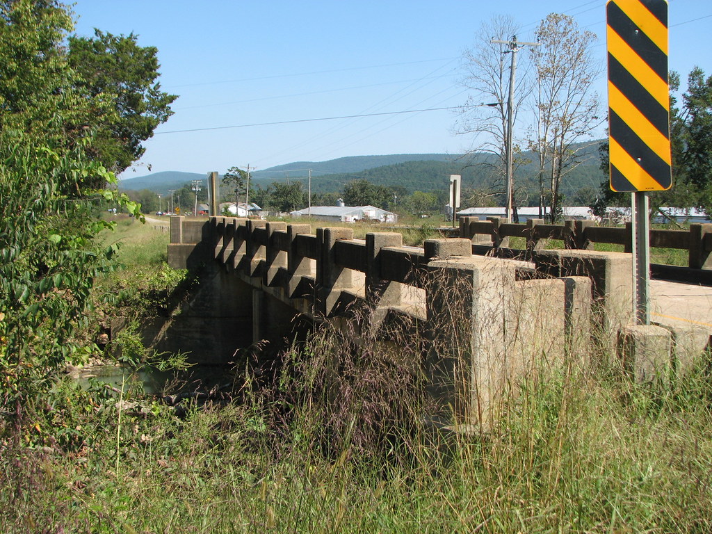
Freedom Creek- West Approach
June 2: 7:00pm
Topographic Map of James Township, AR, USA
Find elevation by address:

Places in James Township, AR, USA:
Places near James Township, AR, USA:
AR-80, Waldron, AR, USA
Arkansas 80
Hunt Township
AR-80, Danville, AR, USA
Jack Creek Rd, Booneville, AR, USA
Scott County
214 Parisi Ln
Petit Jean Township
Wisley Rd, Booneville, AR, USA
63 Starling Ln
Mixon Rd, Booneville, AR, USA
37 County Line Rd, Booneville, AR, USA
2881 Primrose Ln
Sugar Creek Township
Greenridge Rd, Waldron, AR, USA
Whispering Pine Road
Cauthron Township
4287 Painted Vista Rd
Mill Creek Bridge
Dutch Creek Township
Recent Searches:
- Elevation of 72-31 Metropolitan Ave, Middle Village, NY, USA
- Elevation of 76 Metropolitan Ave, Brooklyn, NY, USA
- Elevation of Alisal Rd, Solvang, CA, USA
- Elevation of Vista Blvd, Sparks, NV, USA
- Elevation of 15th Ave SE, St. Petersburg, FL, USA
- Elevation of Beall Road, Beall Rd, Florida, USA
- Elevation of Leguwa, Nepal
- Elevation of County Rd, Enterprise, AL, USA
- Elevation of Kolchuginsky District, Vladimir Oblast, Russia
- Elevation of Shustino, Vladimir Oblast, Russia