Elevation of Winton Farm, Patrick Henry Hwy, Amherst, VA, USA
Location: United States > Virginia > Amherst County > > Amherst >
Longitude: -79.022613
Latitude: 37.63772
Elevation: -10000m / -32808feet
Barometric Pressure: 295KPa
Elevation Map:
Satellite Map:
Related Photos:

why?

View from Sandidges, June 2018

Sweet Briar College

Mountain View Market, Lowesville, Virginia

View from my Deck

Barrel House View

panoramic view at Fairview
Madeline Coleman - Tina

Annabel Voorhees – Mel

Cristina Thomas - Allow Me

Carin Brown - In the Tropics

Roseland, VA

Kathleen Drake – Oh So Fine

Ariel Harper - Braveheart

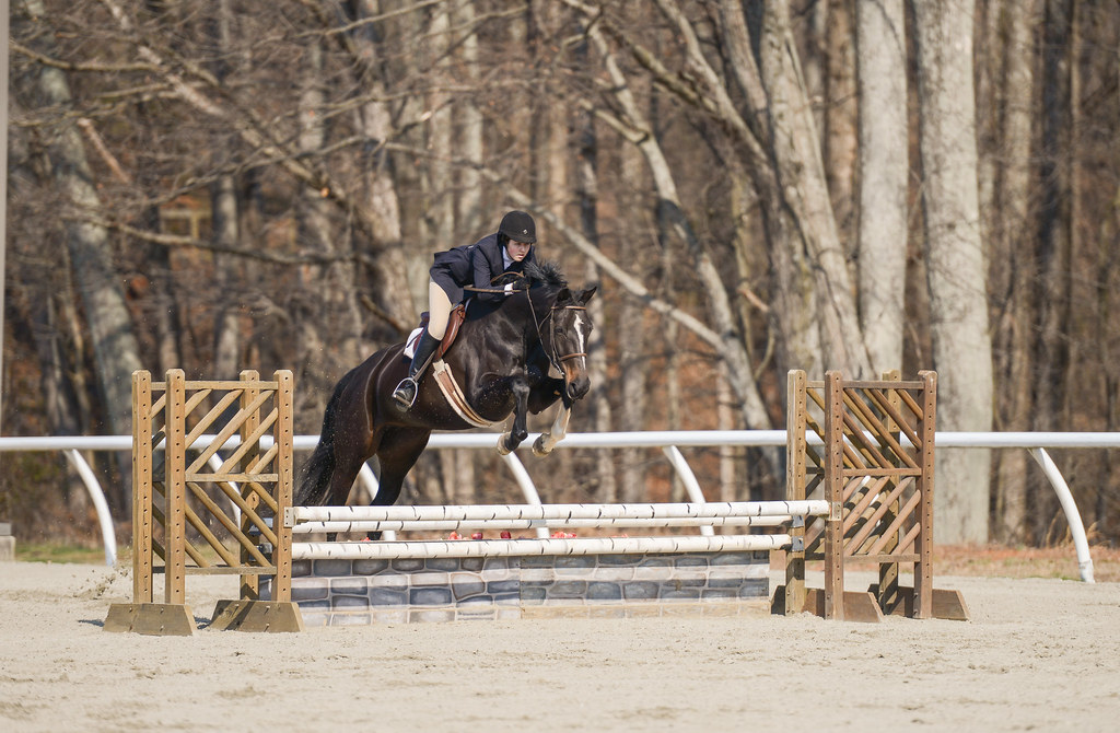
Ali Davidson - Theodore

Allison Renzulli – Clean Slate

No Bull View

view along Cow Hollow Road

Fleetwood Pumpkin Patch

Abby Strohmeyer - Tortuga (Tank)

Allison Renzulli – Clean Slate

In Search of the Great Pumpkin

Blooms of Harewood

Cattle, Sandidges June 2018
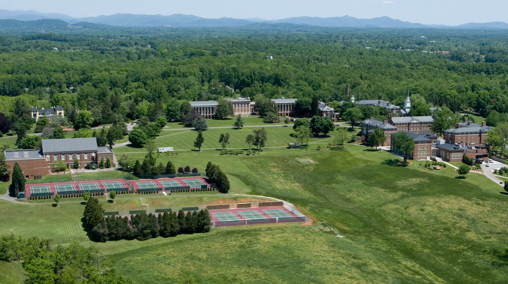
Sweet Briar College

Poplar Grove Golf Course
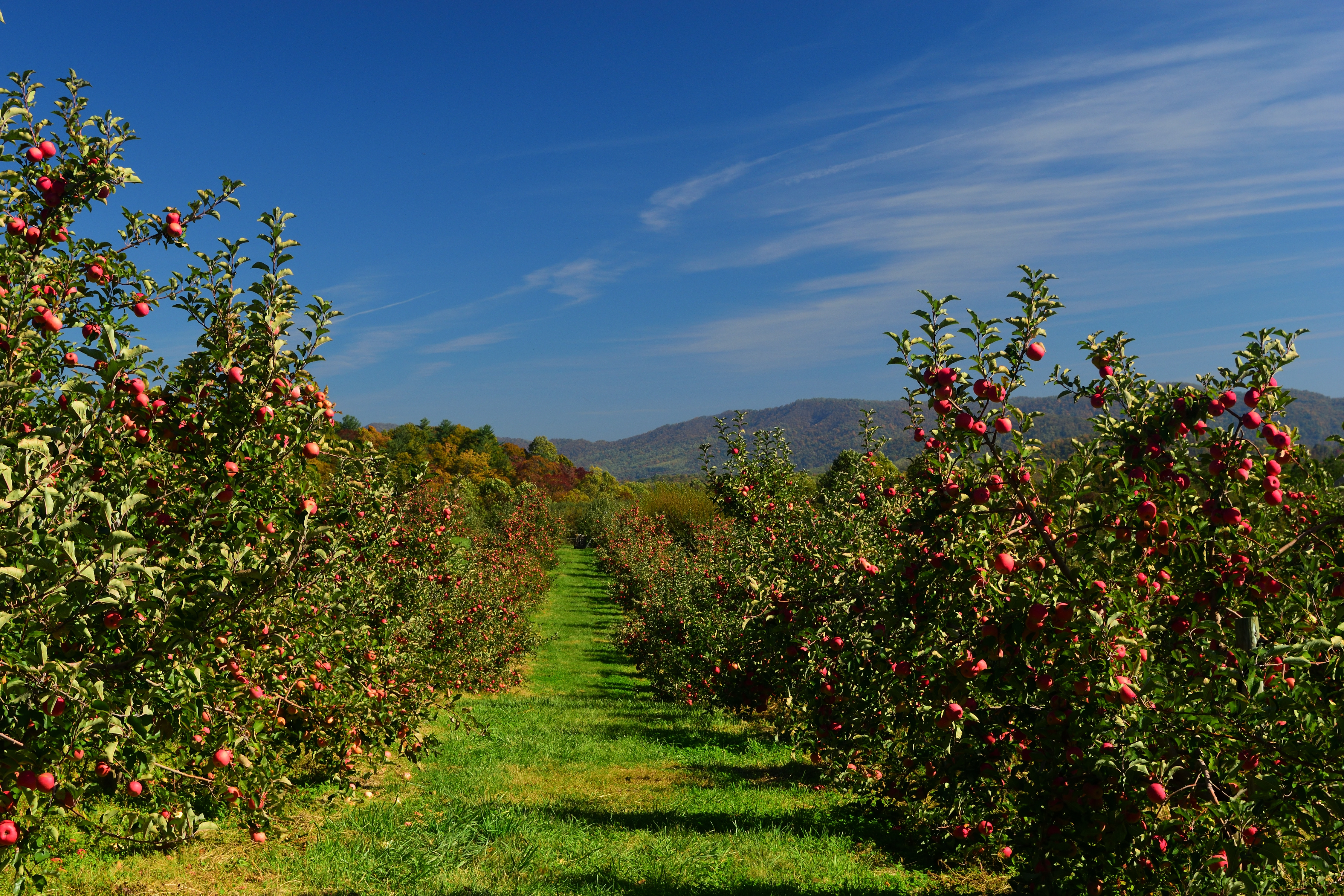
Apple Orchard

R6-045-21
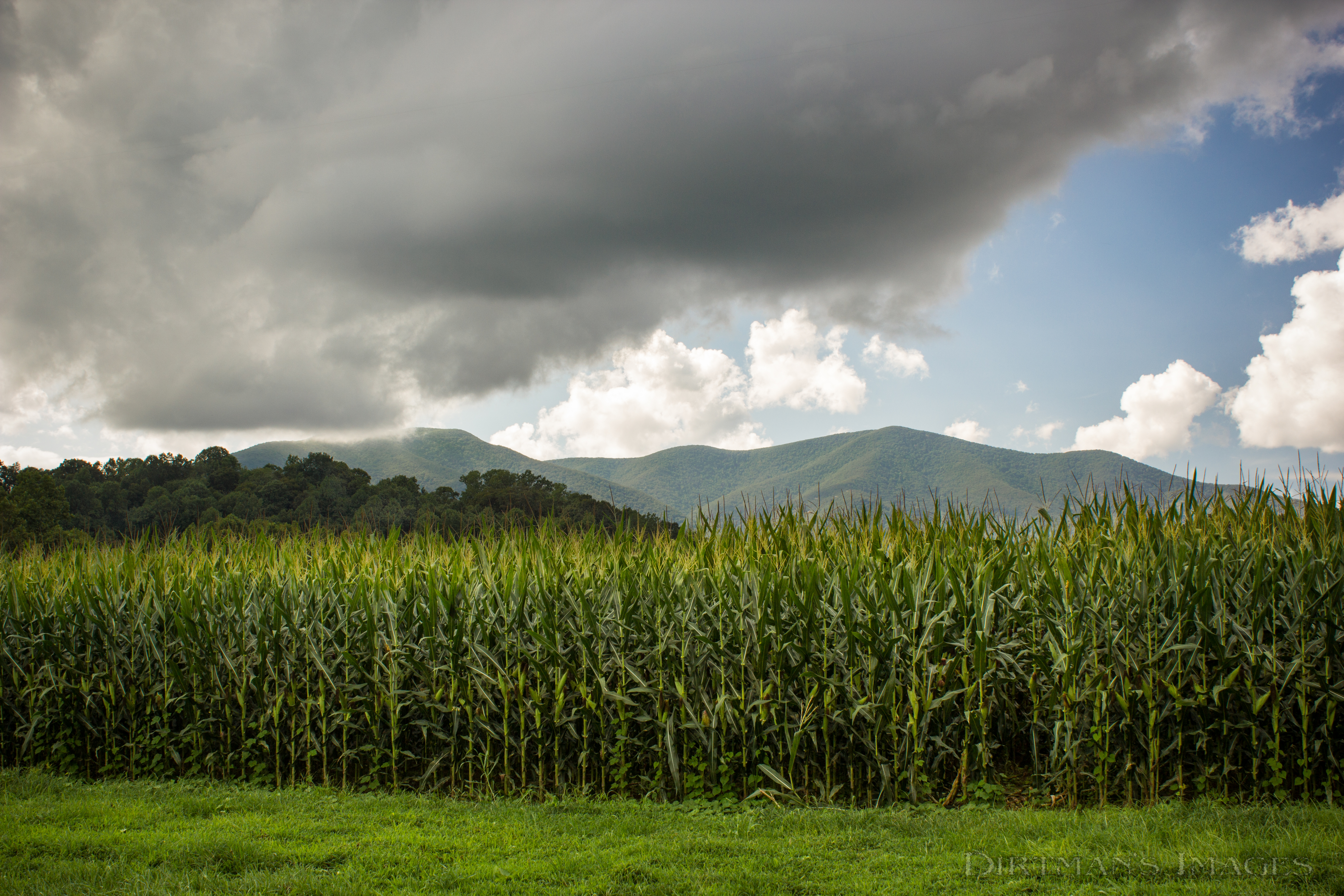
Fields of Gold under Mountains of Magesty

Spring Returns to the Mountains
Freshwater Cove Panoramic

Oak Ridge Estate sunset

Barrel House Burn

Why Don't We Do It in the Road?

SBC 7

Muddy Lake
Trees for forest, forest for trees
Topographic Map of Winton Farm, Patrick Henry Hwy, Amherst, VA, USA
Find elevation by address:

Places near Winton Farm, Patrick Henry Hwy, Amherst, VA, USA:
318 Campbells Mill Rd
172 Turkey Mountain Rd
172 Turkey Mountain Rd
306 Walnut Hill Rd
2028 N Amherst Hwy
561 Muddy Branch Rd
1464 Roses Mill Rd
Piney River
3981 Lowesville Rd
3981 Lowesville Rd
3981 Lowesville Rd
3981 Lowesville Rd
370 Bowling Dr
Roseland
473 Gunter Hollow Ln
Arrington
Massies Mill
Lovingston
1500 Diggs Mountain Rd
2500 Level Green Rd
Recent Searches:
- Elevation of 7 Waterfall Way, Tomball, TX, USA
- Elevation of SW 57th Ave, Portland, OR, USA
- Elevation of Crocker Dr, Vacaville, CA, USA
- Elevation of Pu Ngaol Community Meeting Hall, HWHM+3X7, Krong Saen Monourom, Cambodia
- Elevation of Royal Ontario Museum, Queens Park, Toronto, ON M5S 2C6, Canada
- Elevation of Groblershoop, South Africa
- Elevation of Power Generation Enterprises | Industrial Diesel Generators, Oak Ave, Canyon Country, CA, USA
- Elevation of Chesaw Rd, Oroville, WA, USA
- Elevation of N, Mt Pleasant, UT, USA
- Elevation of 6 Rue Jules Ferry, Beausoleil, France