Elevation of Roses Mill Rd, Arrington, VA, USA
Location: United States > Virginia > Arrington >
Longitude: -78.996789
Latitude: 37.6998922
Elevation: 190m / 623feet
Barometric Pressure: 99KPa
Elevation Map:
Satellite Map:
Related Photos:

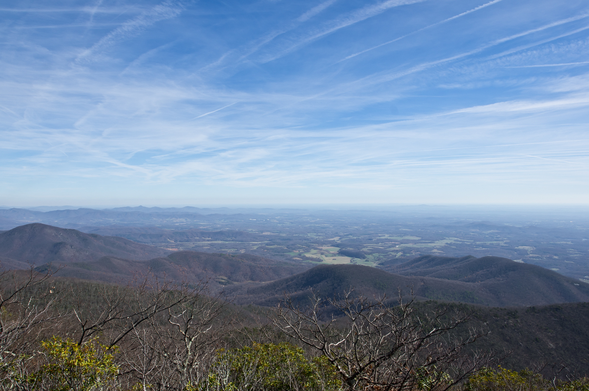
View from Mount Pleasant
why?

Barrel House View
The Heart of Virginia's Blue Ridge
Roseland, VA
a blanket knitted from clouds

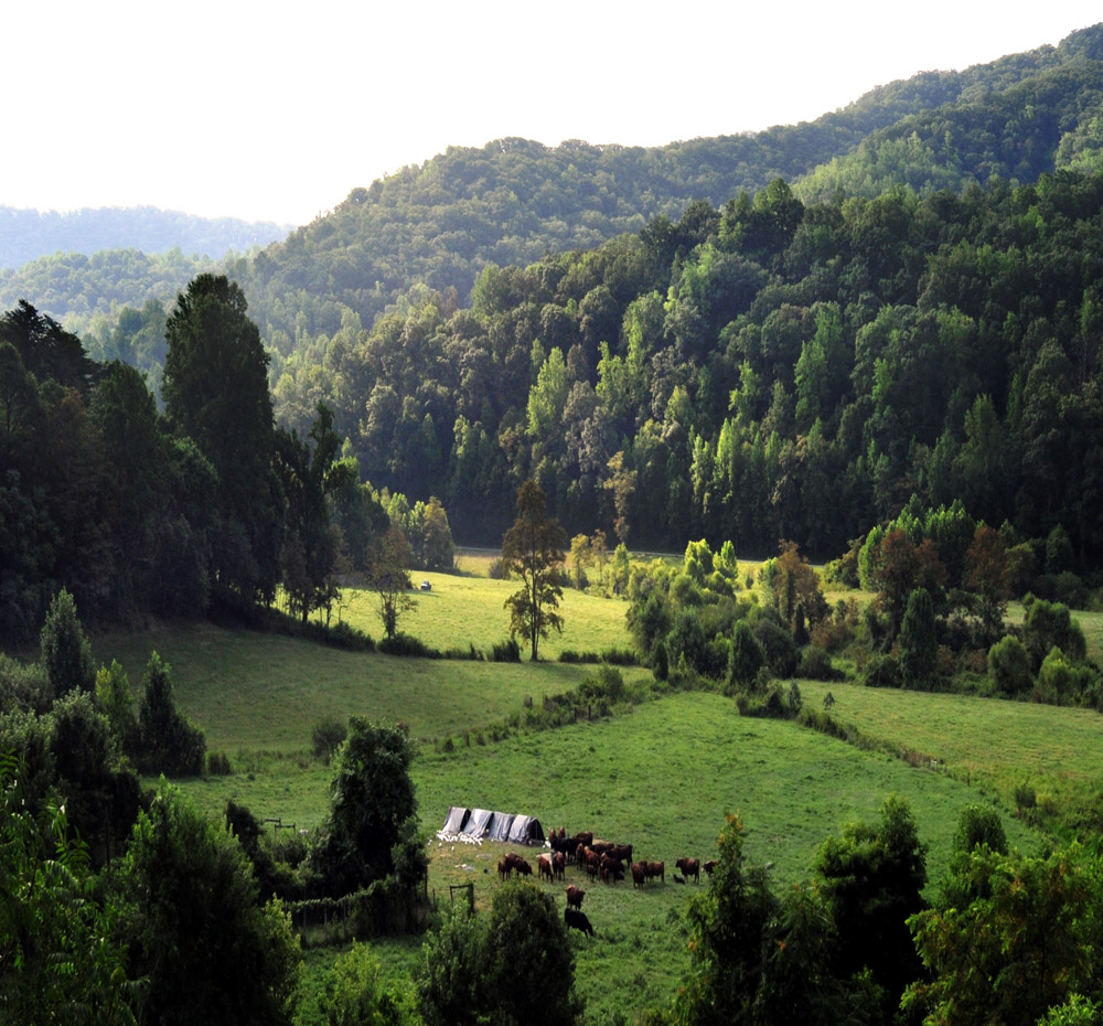
Fall view of the back "yard"
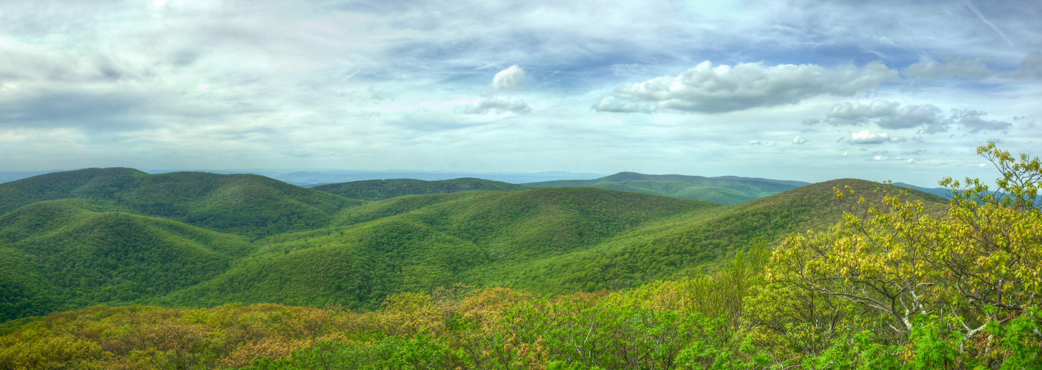
West Overlook Pano
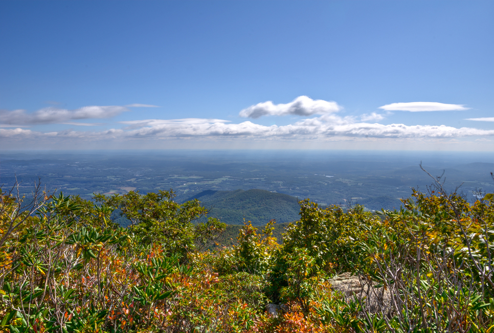
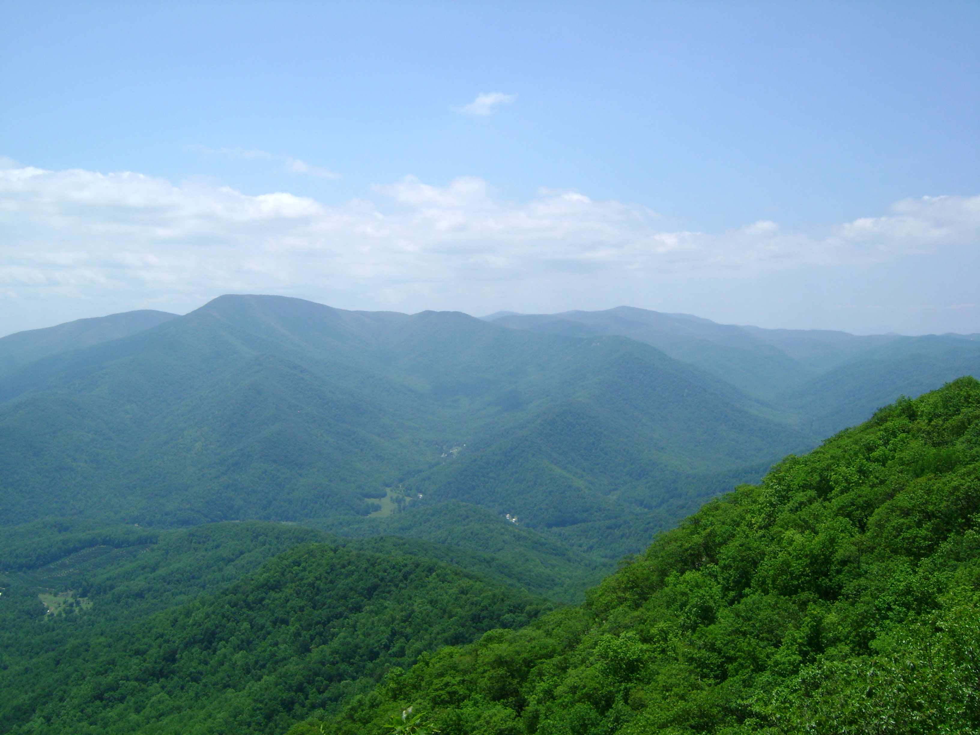
East Overlook View

good morning! before all the leaves fall off, I would highly suggest you to check this view out within the next couple of weeks. take your family, kids and camera BUT don't forget to layer up. It's ultra windy up here, note the redness of my hands #explor
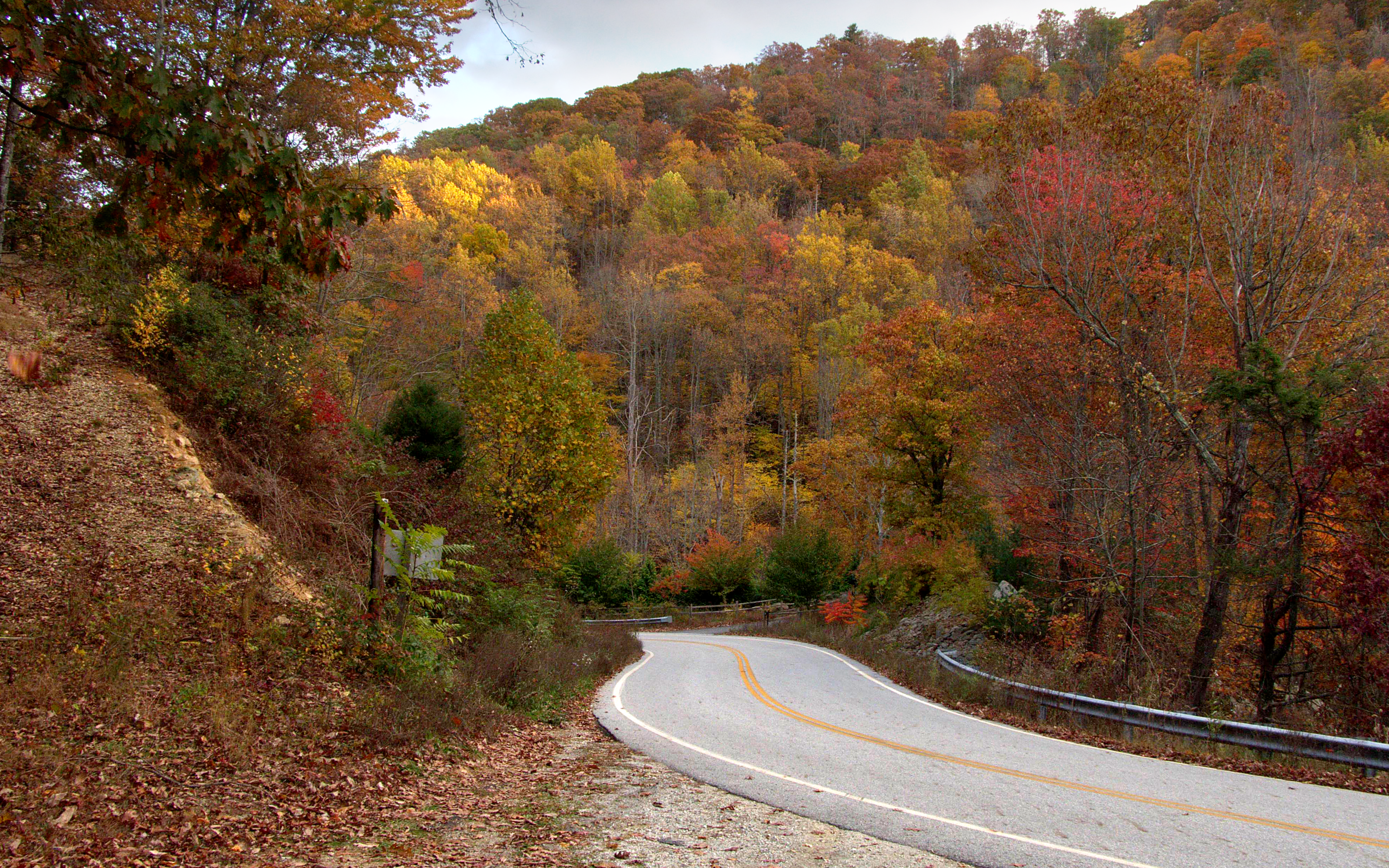
Rte.56, Shenadoah National Park, Va,: Oct. 12

last shoot before I head home. on assignment for next years editorials, shooting atop Mt Pleasant, rated #1 summit for best Fall view on the east coast by @backpackermag #hiregfp #lowepro #protactic #photosport #30L #fall #onlocation #photographer @lowepr
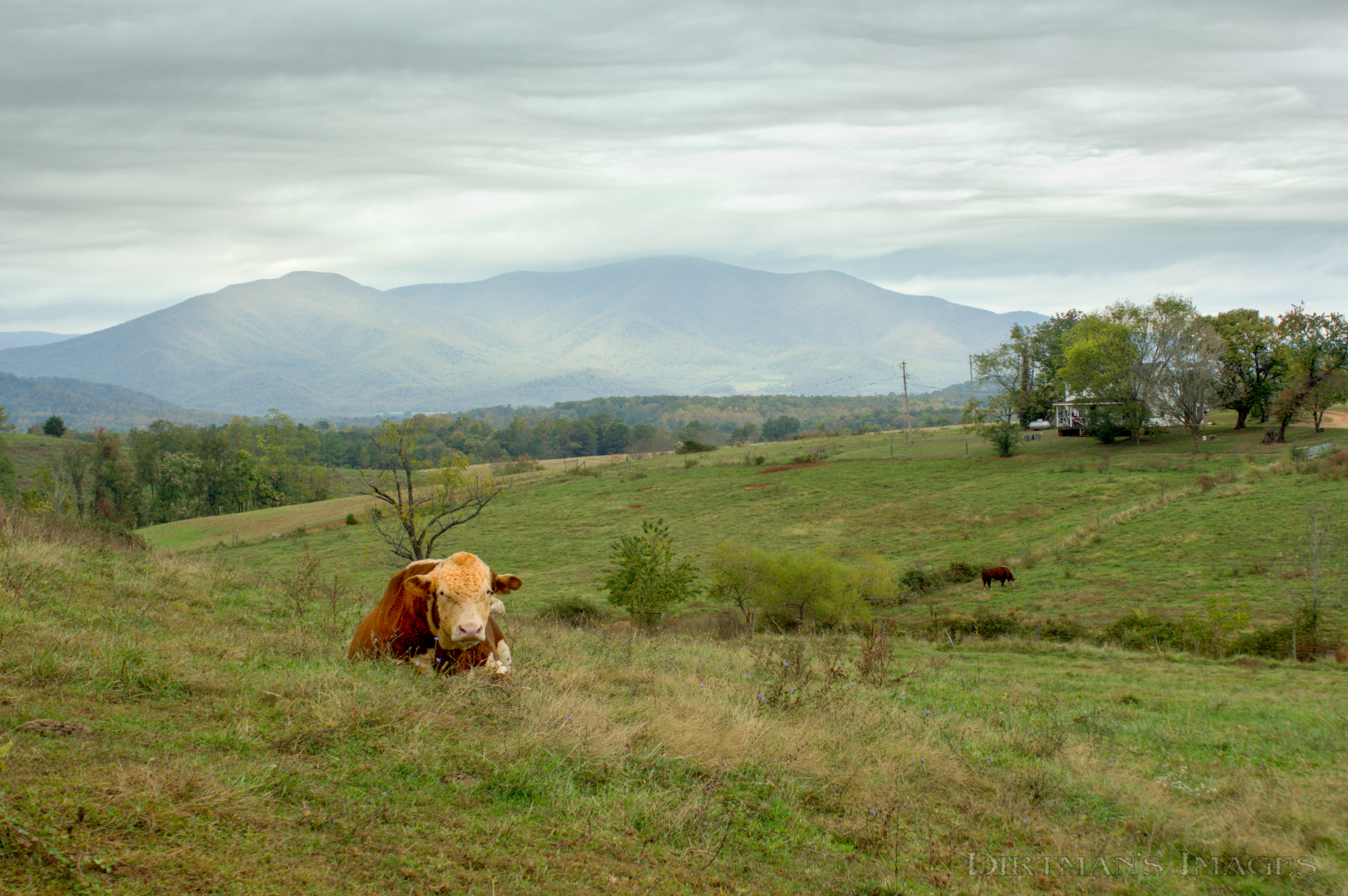
No Bull View
East Overlook View

Pharsalia Mist
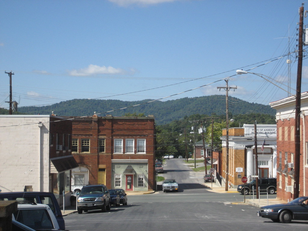
Amherst: Main Street
View east from Tye River swinging bridge
Training Runs - June 2009

Woodson's Mill, Piney River, Virginia

Three Ridges - June 2009

WWSC, Mill Creek Lake, Amherst Co. VA, 20 Feb 2011
Davis Creek Valley

Sunset over Blue Ridge

Mount Pleasant Sunset

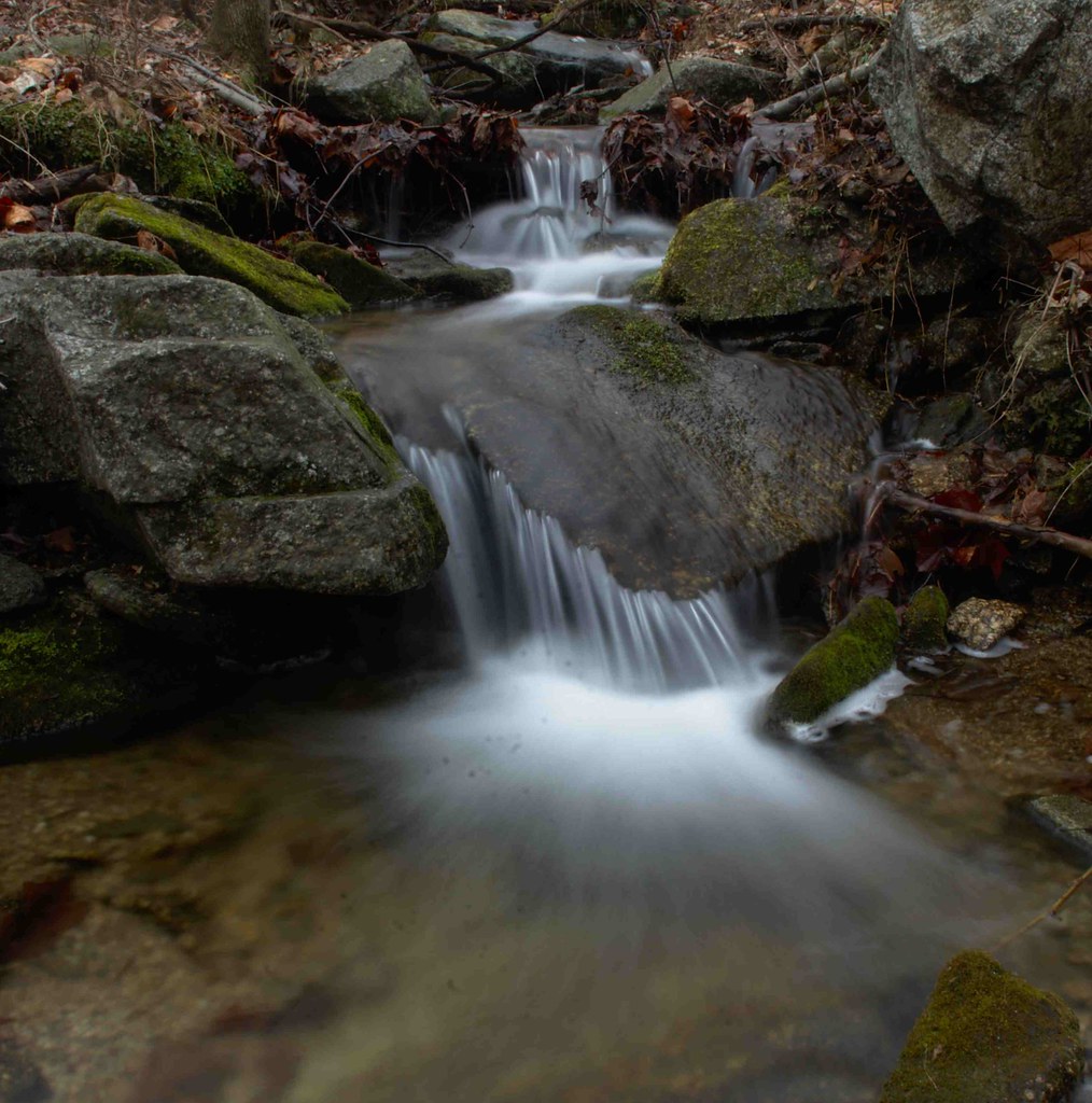
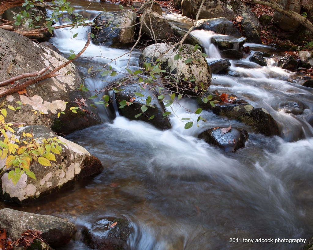
Flowing water at Fortune's Cove
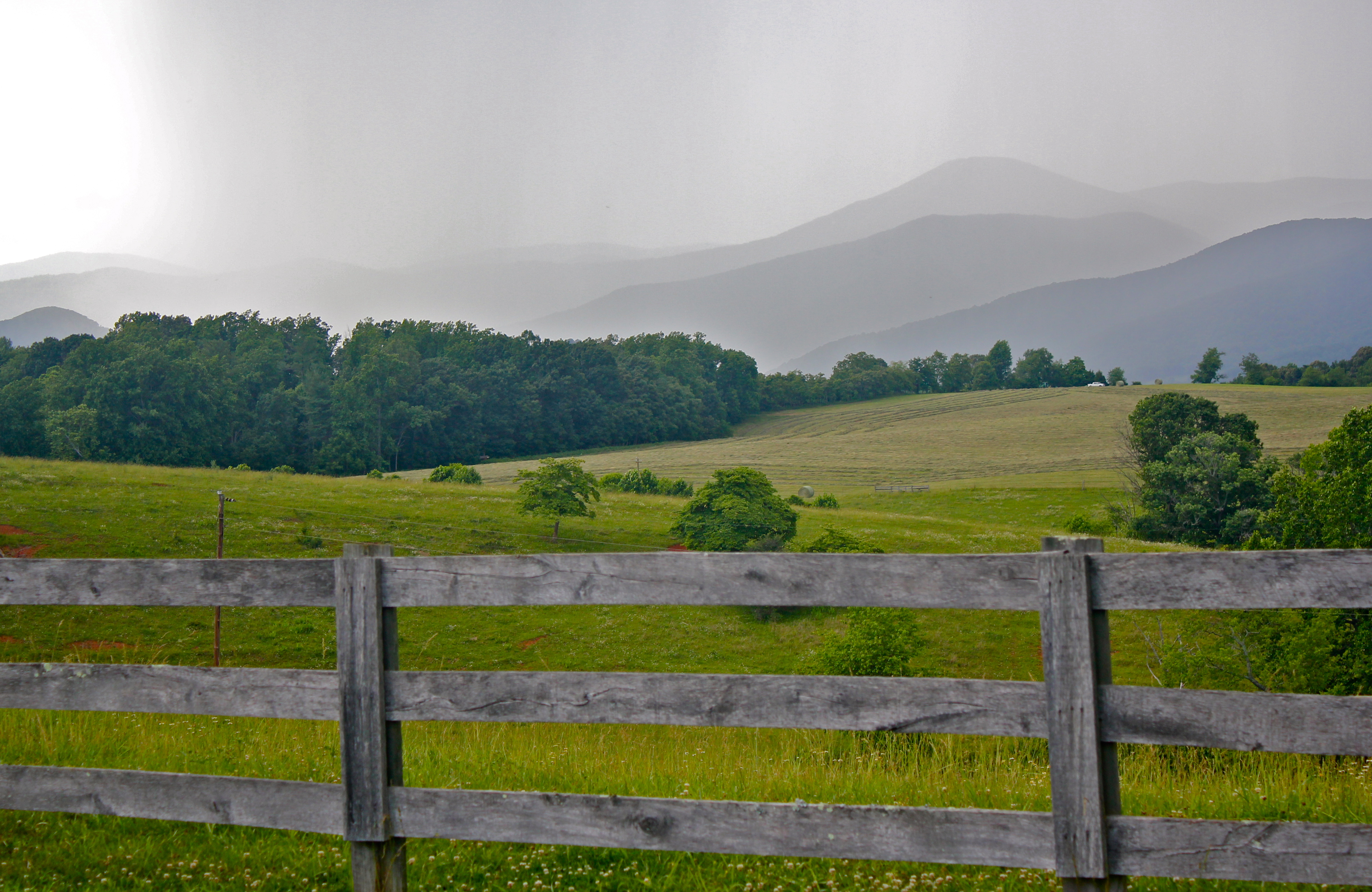
Rain coming in over the Blue Ridge Mountains
20140204_0023.v01
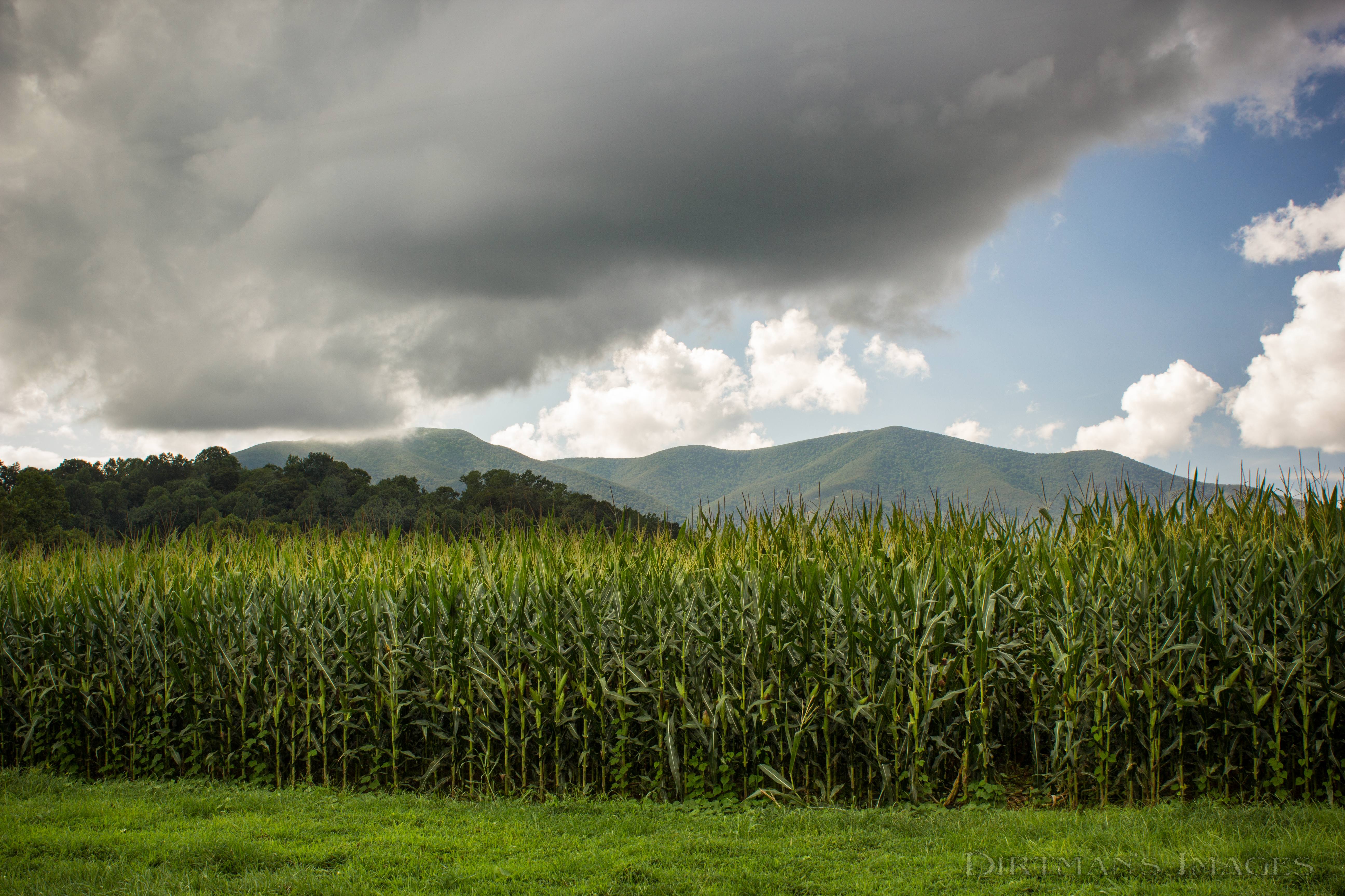
Fields of Gold under Mountains of Magesty
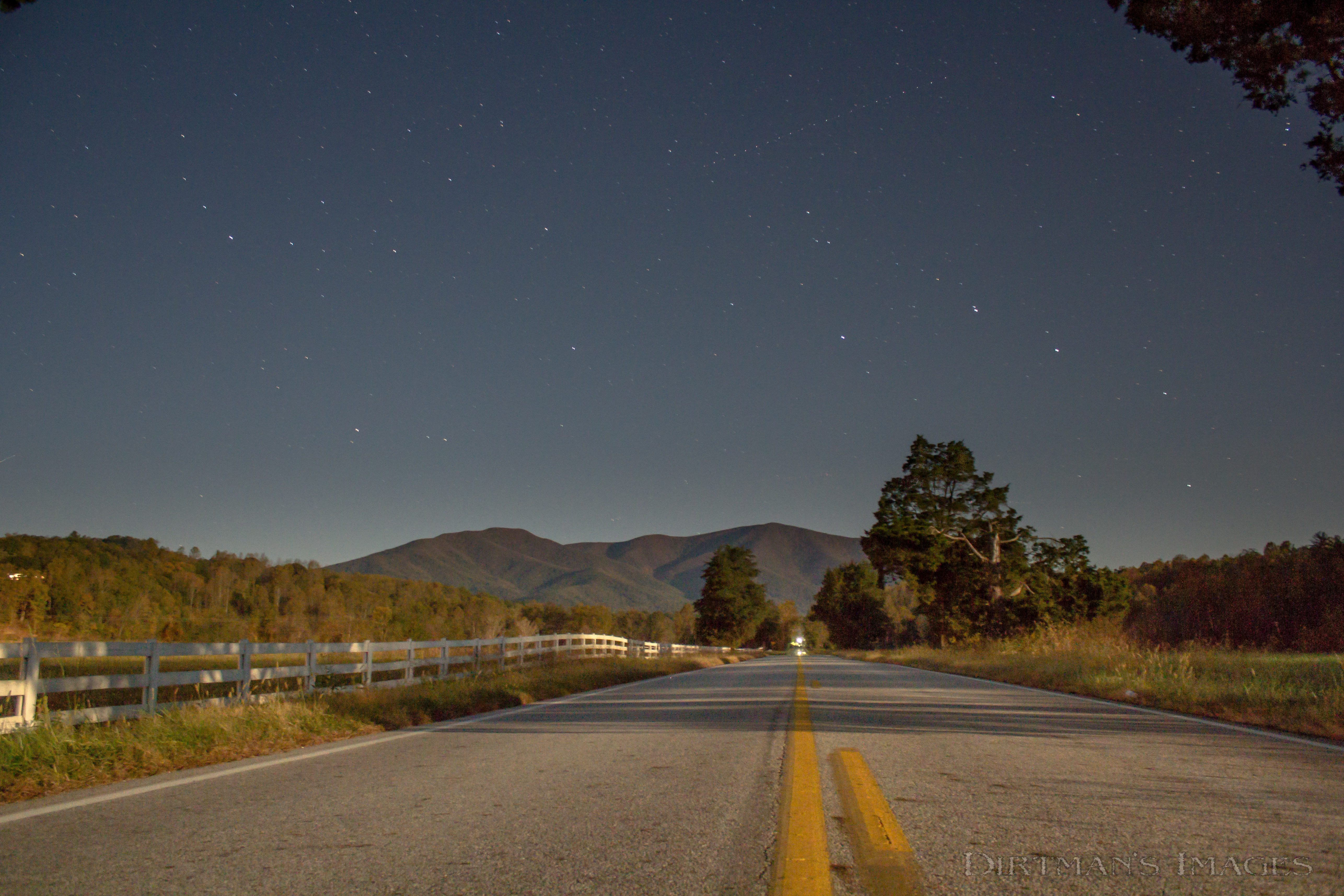
Why Don't We Do It in the Road?

Spring Returns to the Mountains

In Search of the Great Pumpkin
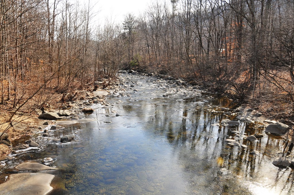
Little Piney River
A Piece of Heaven

Leaf hopper on pine.
Topographic Map of Roses Mill Rd, Arrington, VA, USA
Find elevation by address:

Places near Roses Mill Rd, Arrington, VA, USA:
Piney River
370 Bowling Dr
Roseland
3981 Lowesville Rd
3981 Lowesville Rd
3981 Lowesville Rd
3981 Lowesville Rd
306 Walnut Hill Rd
473 Gunter Hollow Ln
172 Turkey Mountain Rd
172 Turkey Mountain Rd
2028 N Amherst Hwy
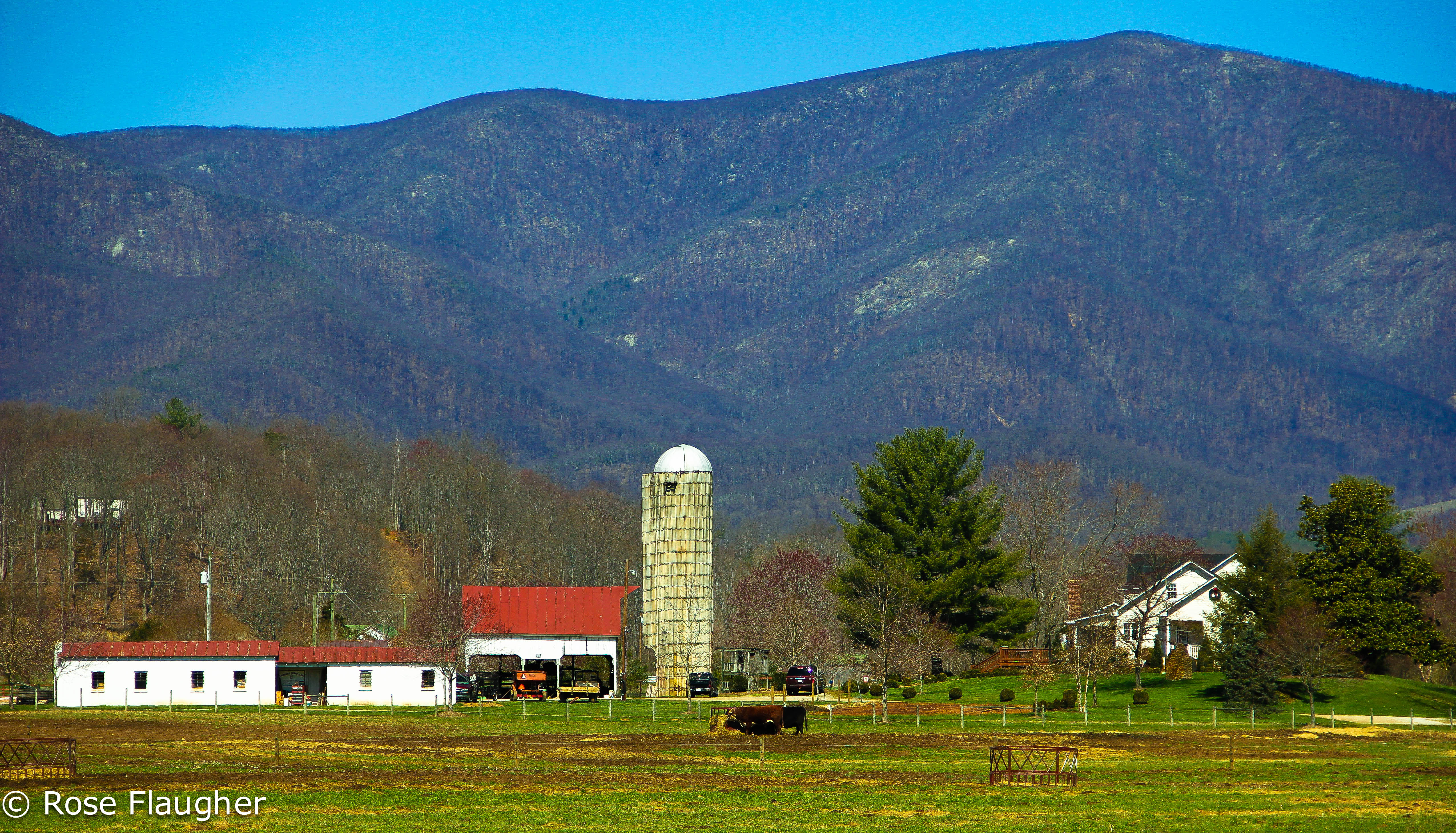
Winton Farm
Massies Mill
318 Campbells Mill Rd
2857 Dark Hollow Rd
2500 Level Green Rd
Pigeon Hill Rd, Roseland, VA, USA
447 Persimmon Hill Dr
1500 Diggs Mountain Rd
Recent Searches:
- Elevation of Felindre, Swansea SA5 7LU, UK
- Elevation of Leyte Industrial Development Estate, Isabel, Leyte, Philippines
- Elevation of W Granada St, Tampa, FL, USA
- Elevation of Pykes Down, Ivybridge PL21 0BY, UK
- Elevation of Jalan Senandin, Lutong, Miri, Sarawak, Malaysia
- Elevation of Bilohirs'k
- Elevation of 30 Oak Lawn Dr, Barkhamsted, CT, USA
- Elevation of Luther Road, Luther Rd, Auburn, CA, USA
- Elevation of Unnamed Road, Respublika Severnaya Osetiya — Alaniya, Russia
- Elevation of Verkhny Fiagdon, North Ossetia–Alania Republic, Russia