Elevation of Muddy Branch Rd, Amherst, VA, USA
Location: United States > Virginia > Amherst County > >
Longitude: -79.075541
Latitude: 37.6377546
Elevation: 233m / 764feet
Barometric Pressure: 99KPa
Elevation Map:
Satellite Map:
Related Photos:
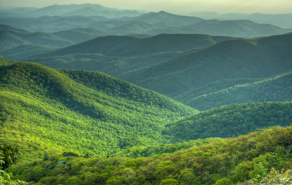
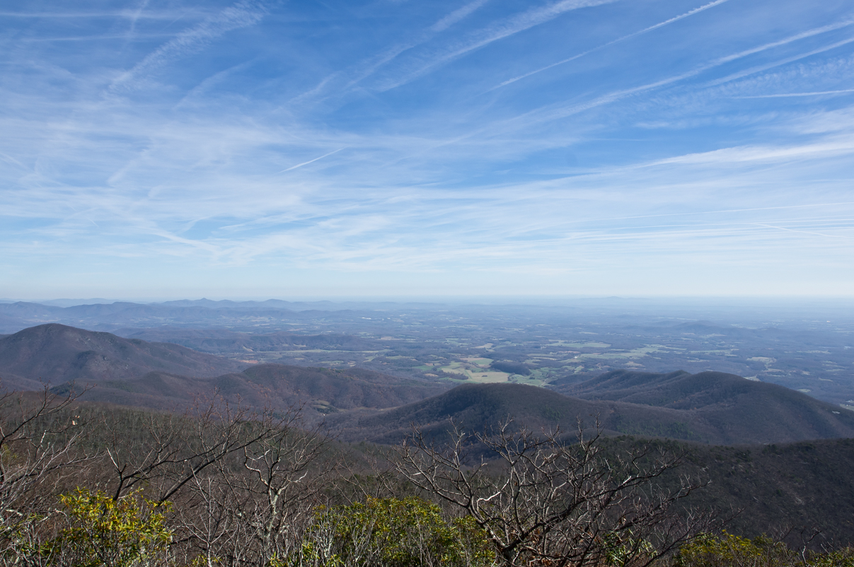
View from Mount Pleasant
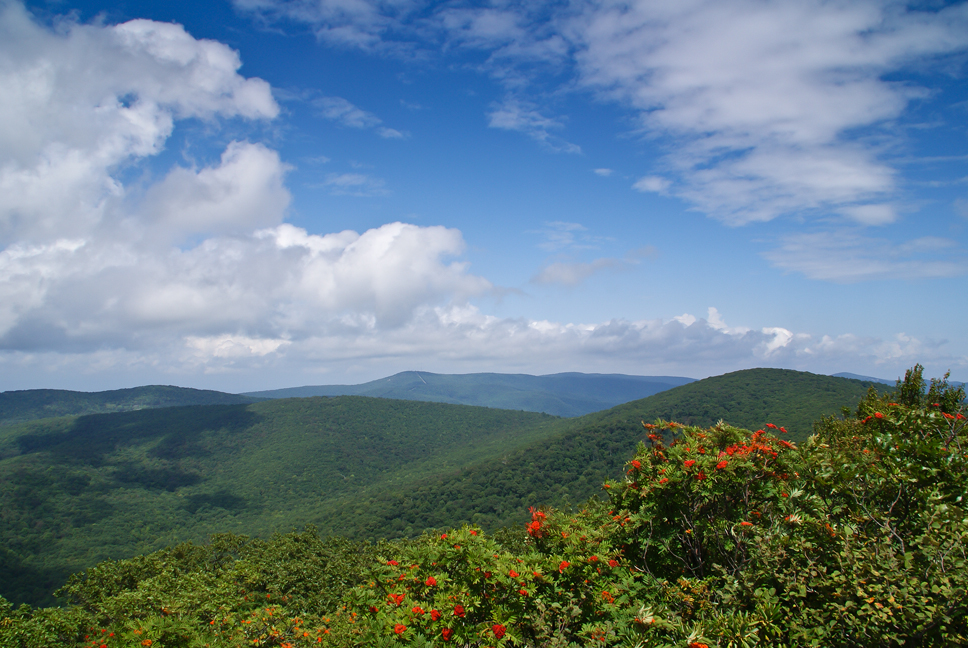
The Heart of Virginia's Blue Ridge
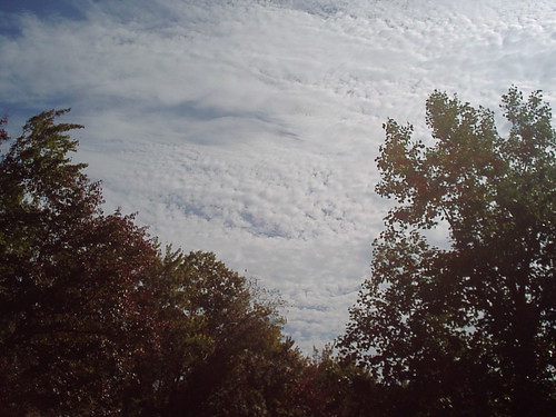
a blanket knitted from clouds
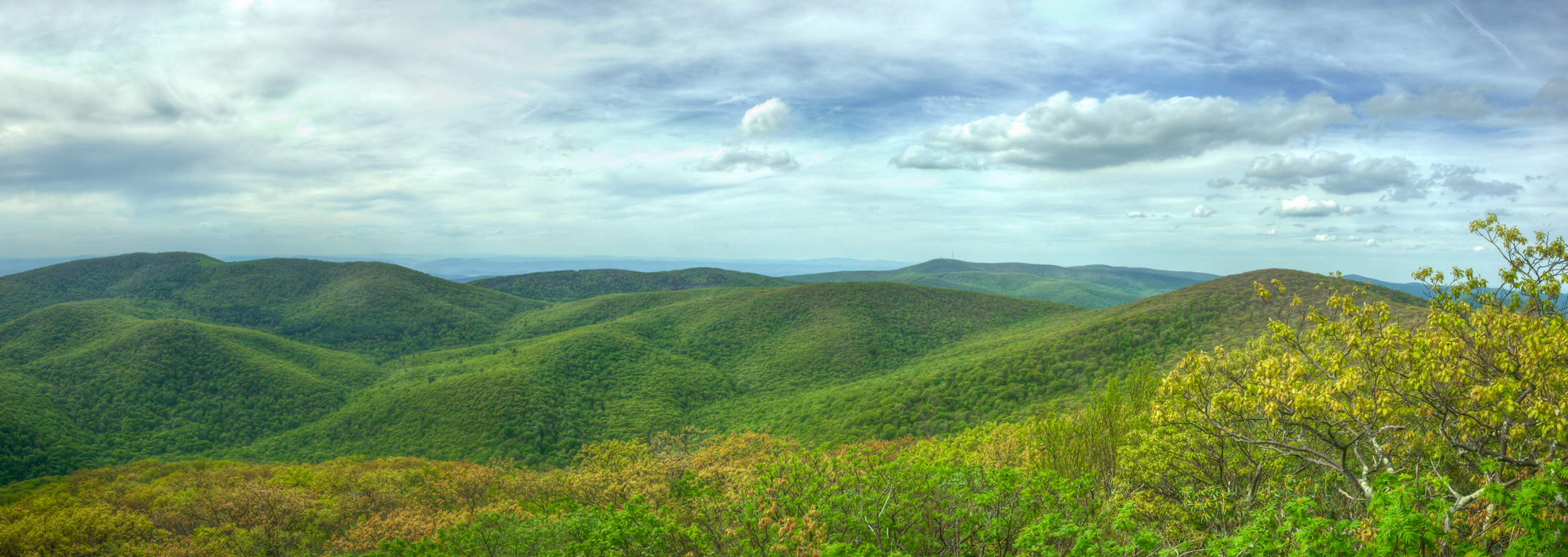
West Overlook Pano

Peephole View of the Reading Room,1959
Madeline Coleman - Tina
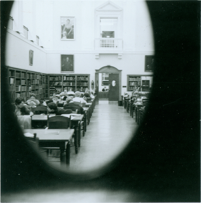
Peephole View of the Reading Room, February 1959
East Overlook View
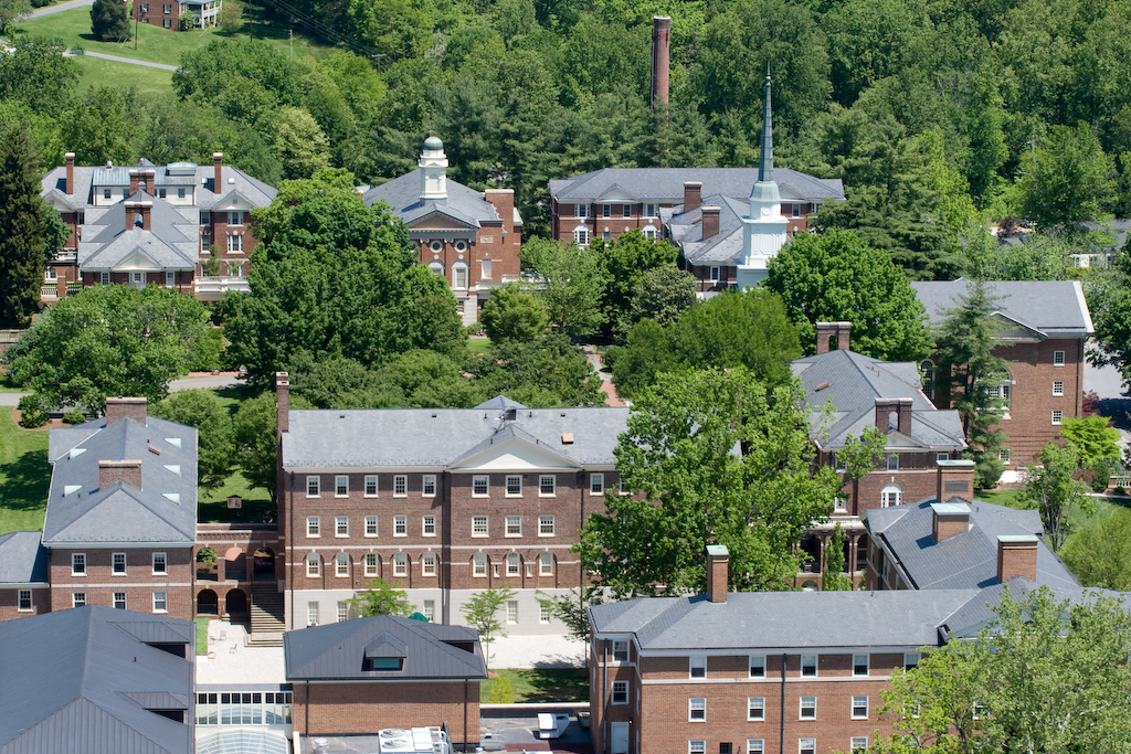
Sweet Briar College
View from my Deck
why?

Barrel House View
Roseland, VA

Fall view of the back "yard"

The Reading Room, 1933

good morning! before all the leaves fall off, I would highly suggest you to check this view out within the next couple of weeks. take your family, kids and camera BUT don't forget to layer up. It's ultra windy up here, note the redness of my hands #explor
View from my Deck

Peephole View of the Reading Room, circa 1970
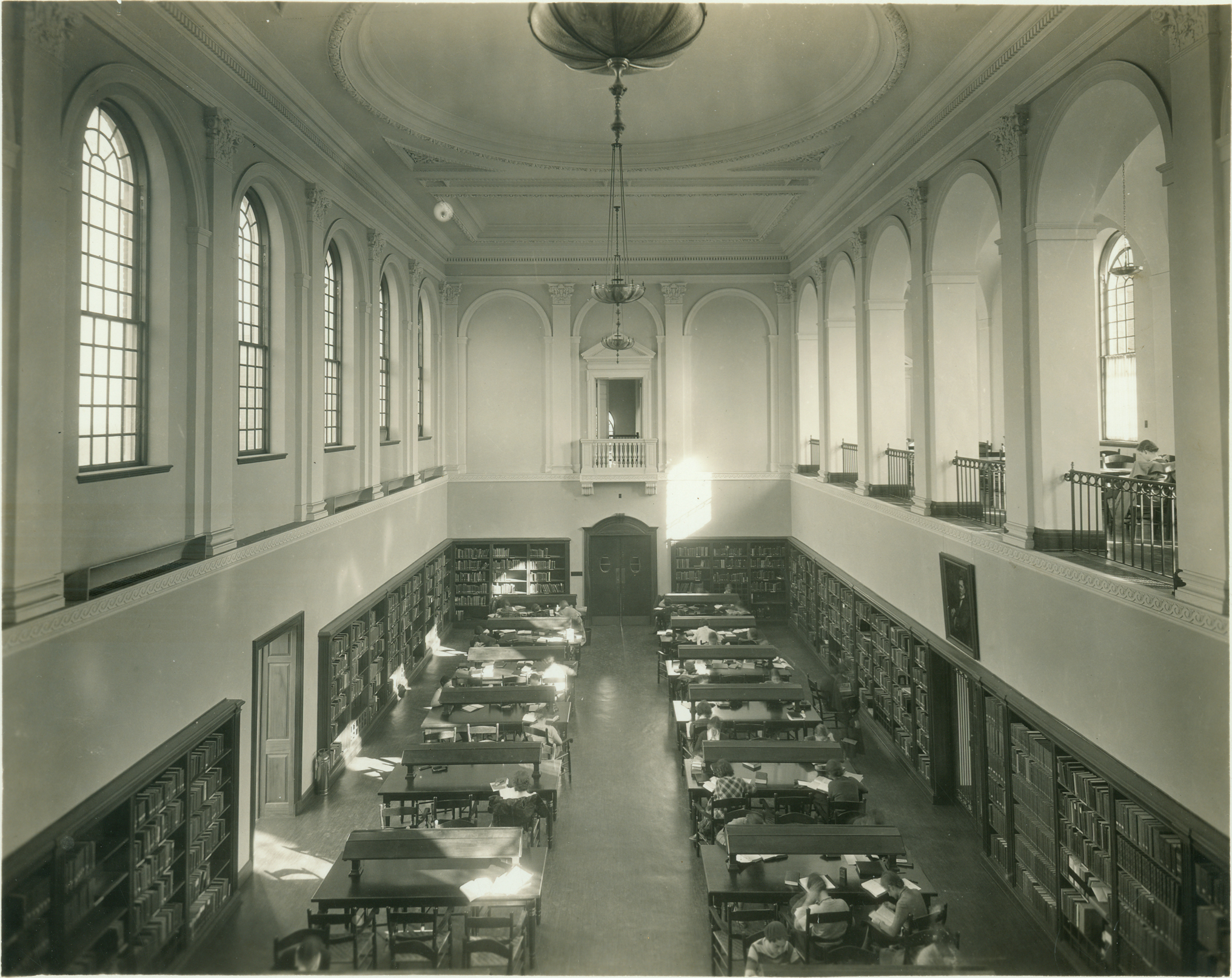
Reading Room -- 1935

Foggy Bottom
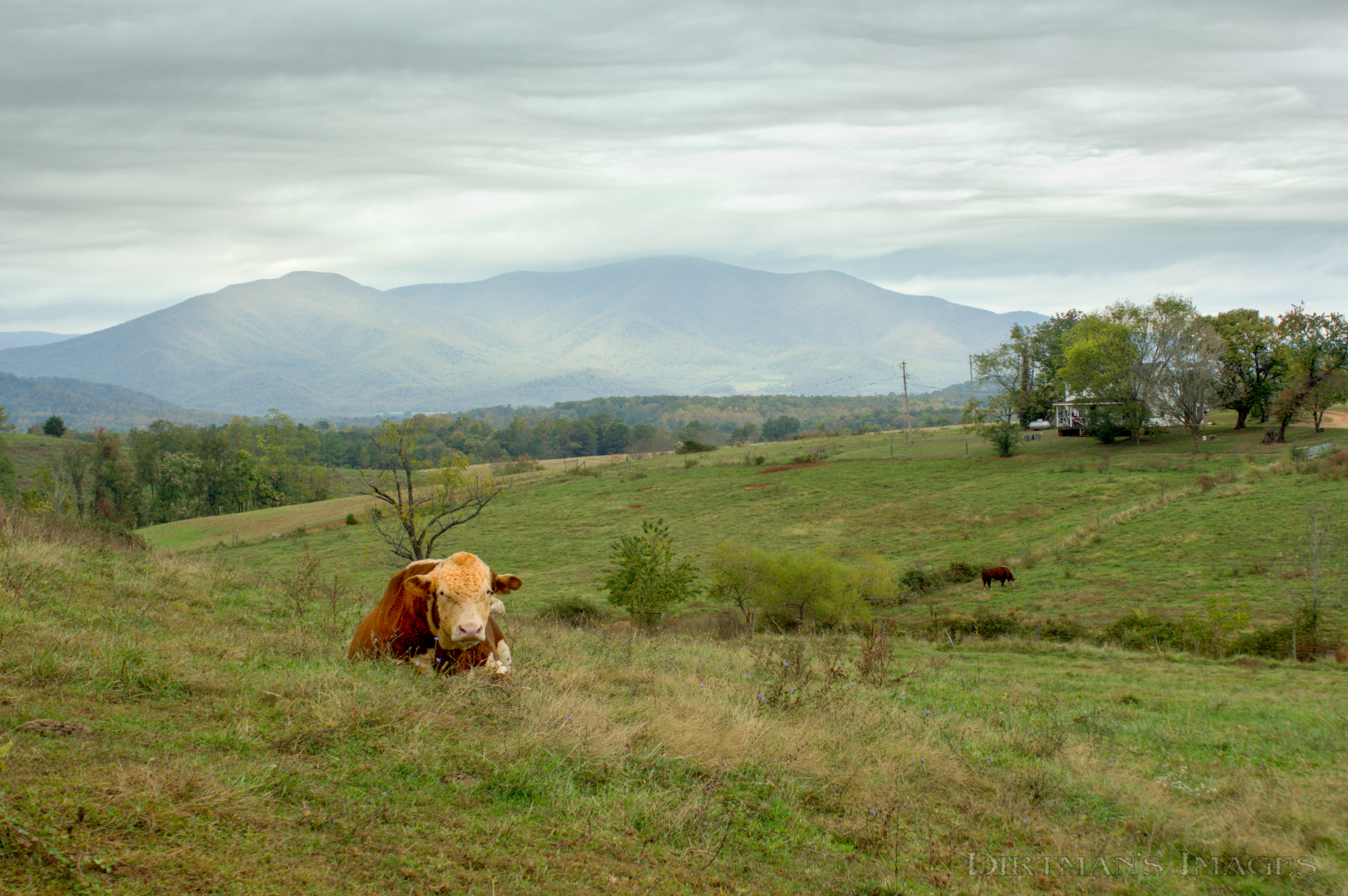
No Bull View

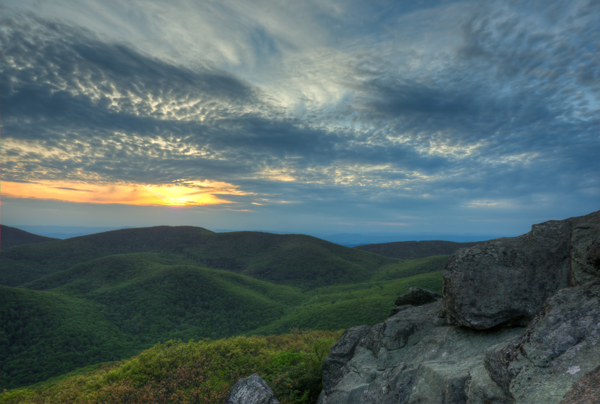
Sunset over Blue Ridge
Mount Pleasant Sunset
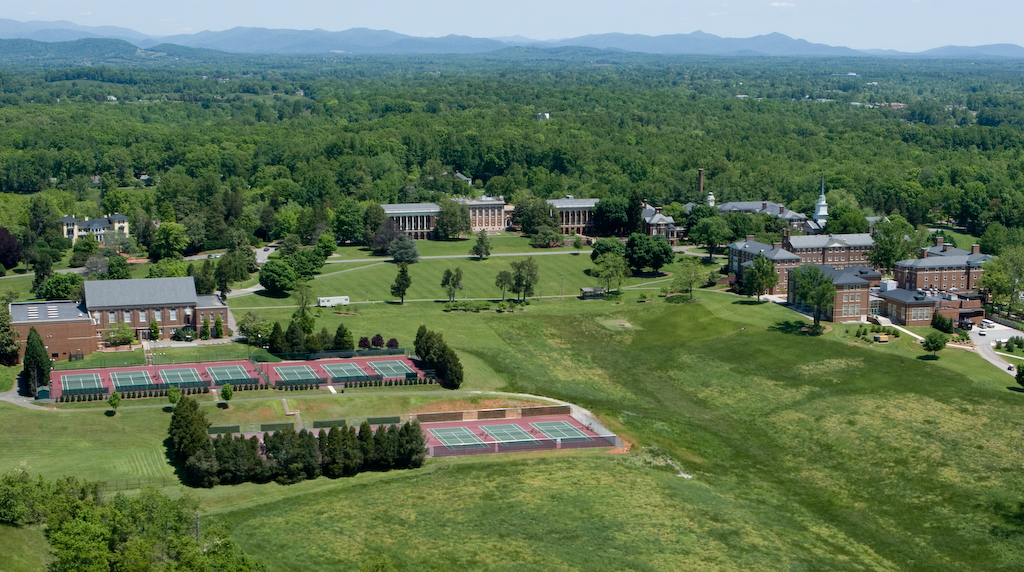
Sweet Briar College
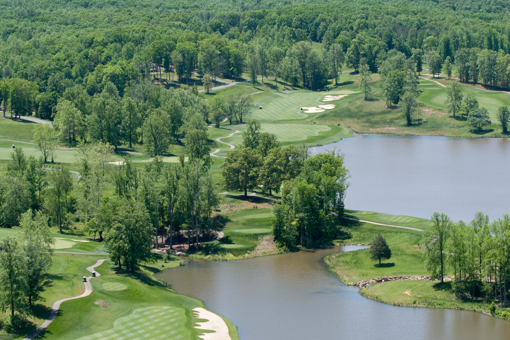
Poplar Grove Golf Course
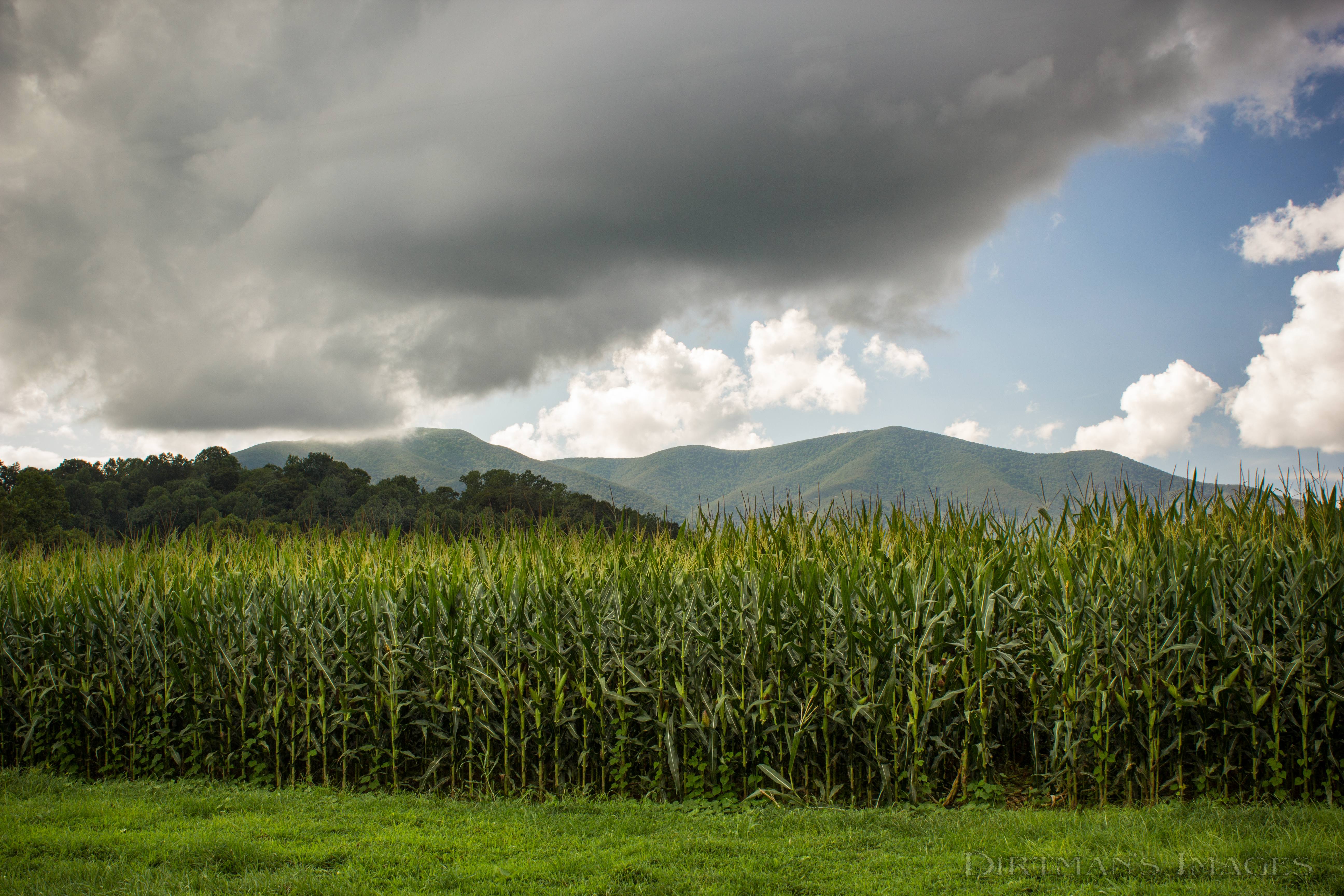
Fields of Gold under Mountains of Magesty
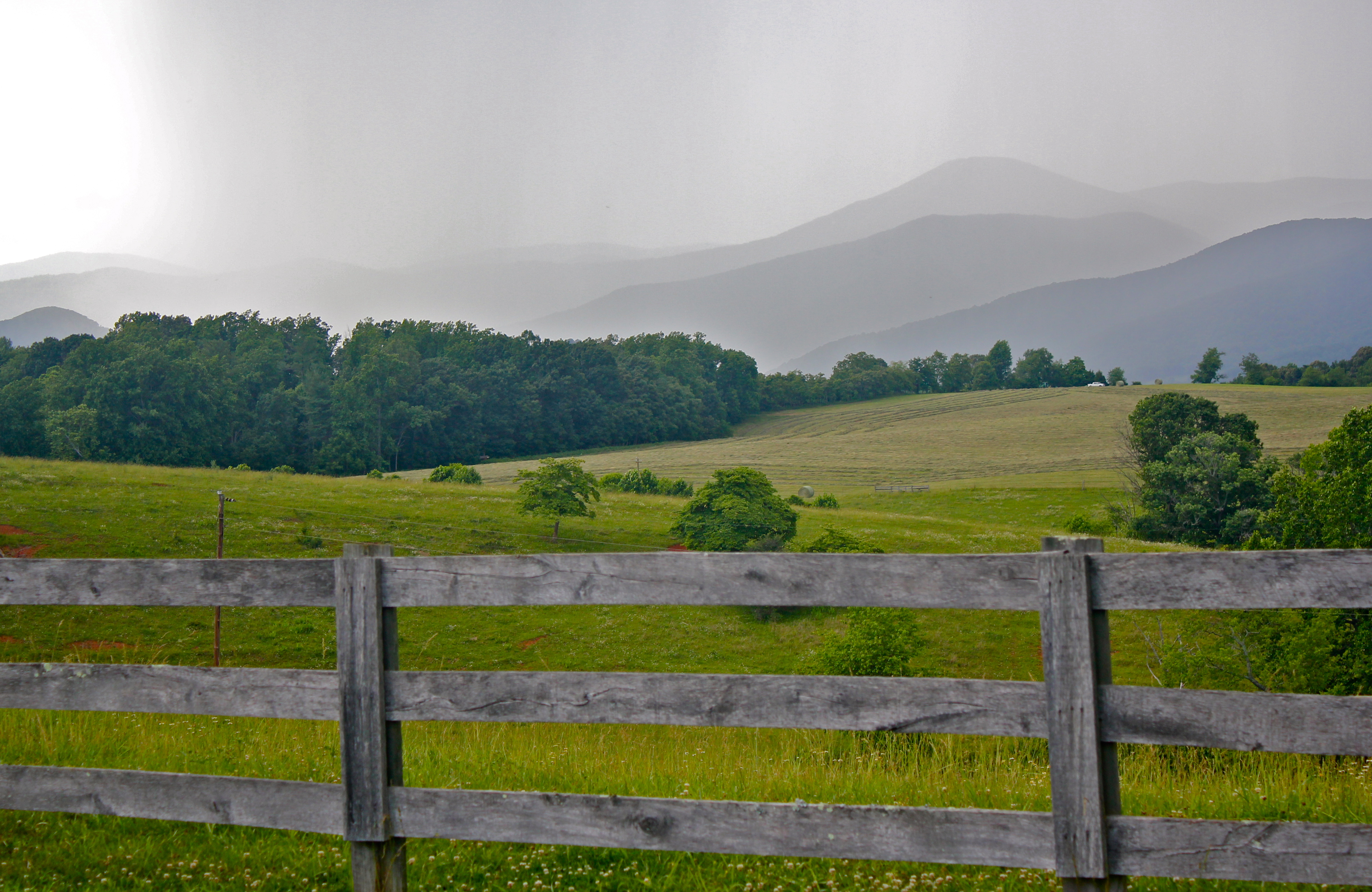
Rain coming in over the Blue Ridge Mountains

R6-045-21
Why Don't We Do It in the Road?
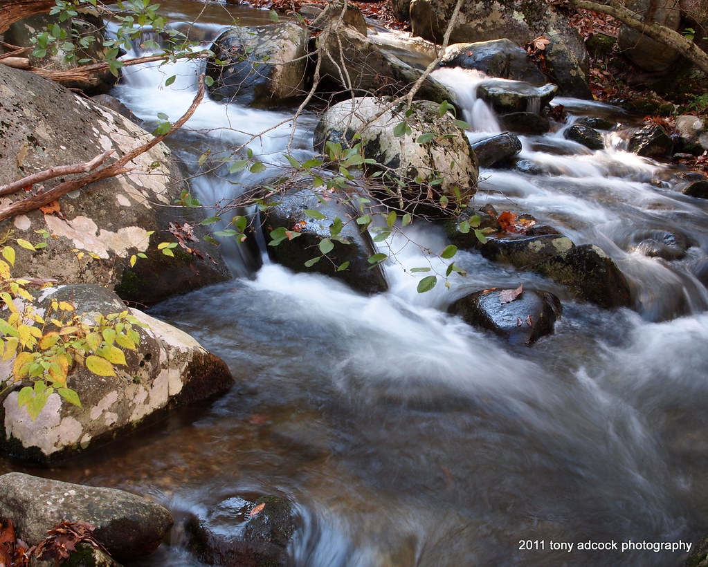
Little Piney River
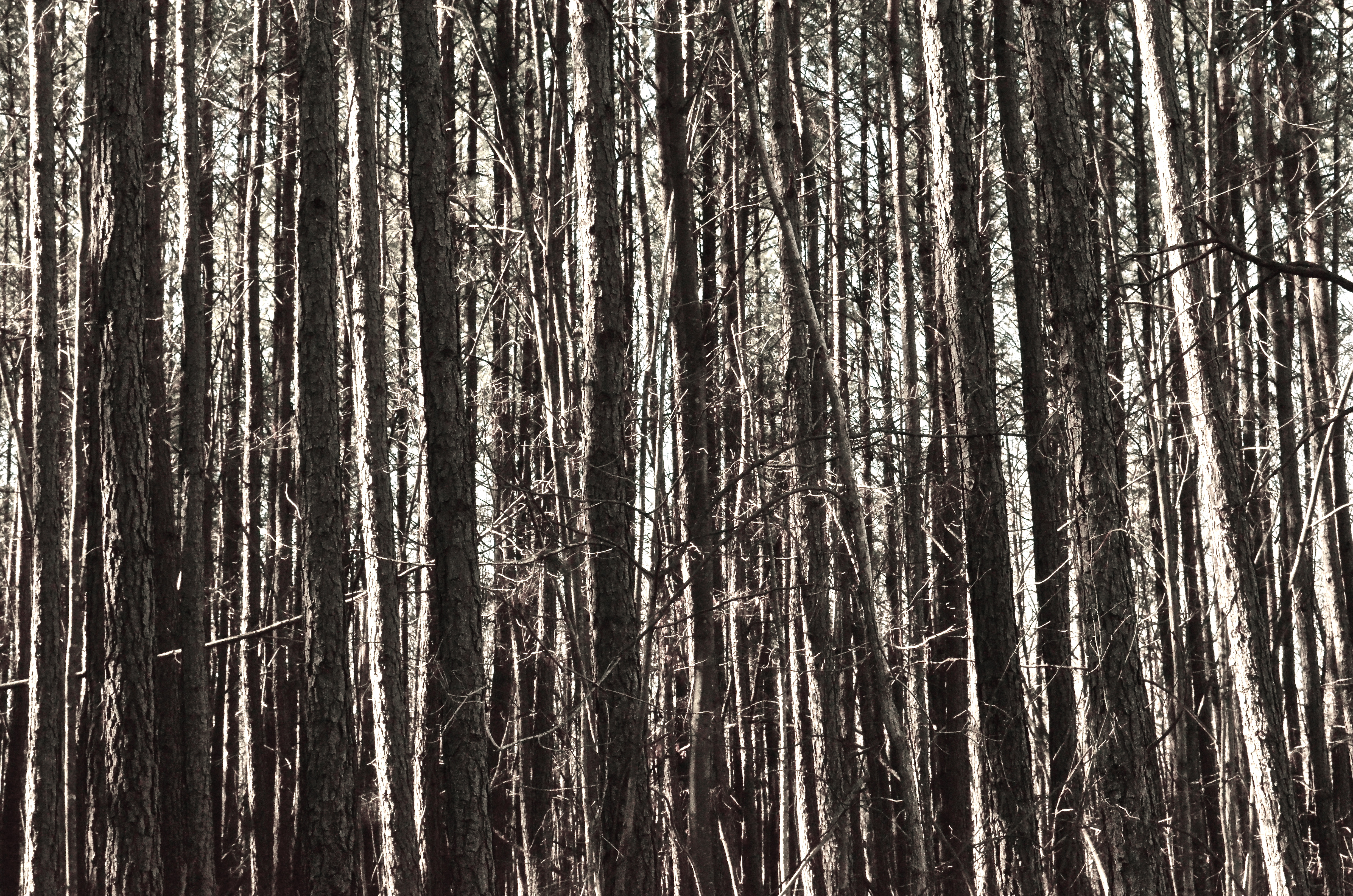
Trees for forest, forest for trees
A Piece of Heaven
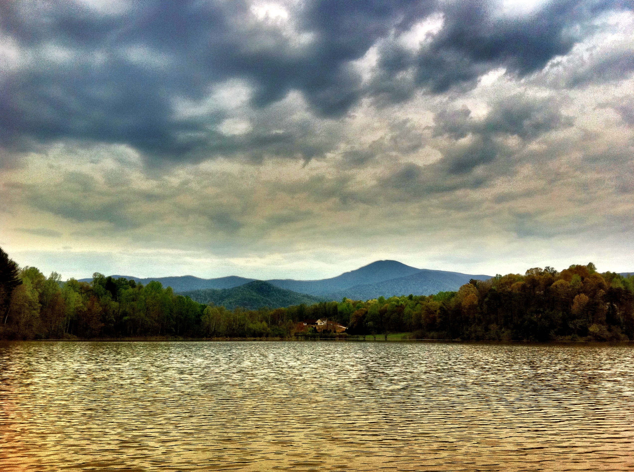
Muddy Lake

Creative Writing Hike

On fall foliage assignment. Crabtree Falls > The Priest > Spy Rock 17.3 mile loop on the AT. Sleeping at The Priest ridge tonight #hiregfp #photographer #editorial #fall #virginia #hiker #appalachiantrail #at #lowepro #photosport #30L
Topographic Map of Muddy Branch Rd, Amherst, VA, USA
Find elevation by address:

Places near Muddy Branch Rd, Amherst, VA, USA:
306 Walnut Hill Rd
172 Turkey Mountain Rd
172 Turkey Mountain Rd
318 Campbells Mill Rd
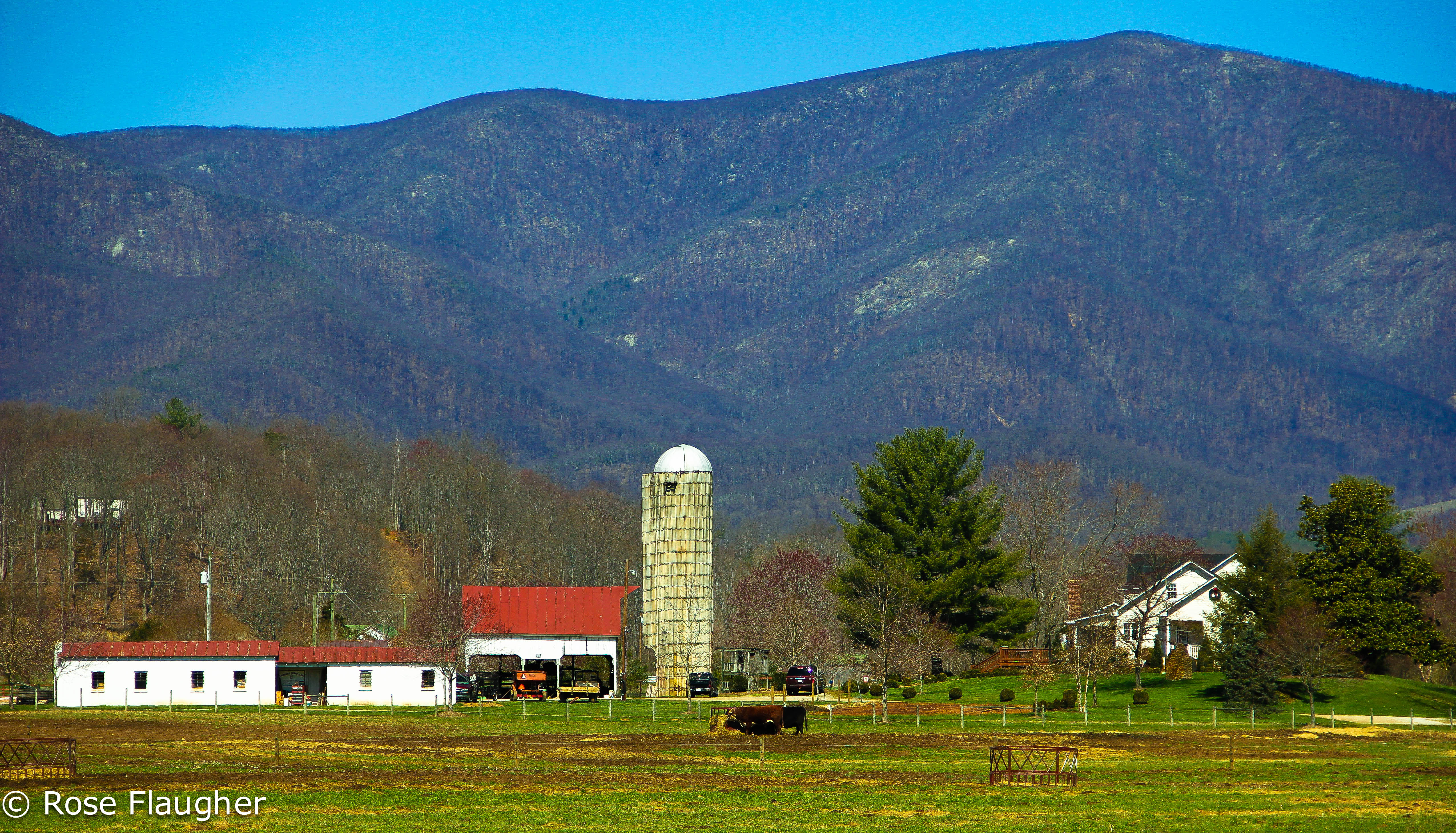
Winton Farm
2028 N Amherst Hwy
Piney River
3981 Lowesville Rd
3981 Lowesville Rd
3981 Lowesville Rd
3981 Lowesville Rd
1464 Roses Mill Rd
370 Bowling Dr
Roseland
2500 Level Green Rd
473 Gunter Hollow Ln
Massies Mill
Pigeon Hill Rd, Roseland, VA, USA
447 Persimmon Hill Dr
Arrington
Recent Searches:
- Elevation of 7 Waterfall Way, Tomball, TX, USA
- Elevation of SW 57th Ave, Portland, OR, USA
- Elevation of Crocker Dr, Vacaville, CA, USA
- Elevation of Pu Ngaol Community Meeting Hall, HWHM+3X7, Krong Saen Monourom, Cambodia
- Elevation of Royal Ontario Museum, Queens Park, Toronto, ON M5S 2C6, Canada
- Elevation of Groblershoop, South Africa
- Elevation of Power Generation Enterprises | Industrial Diesel Generators, Oak Ave, Canyon Country, CA, USA
- Elevation of Chesaw Rd, Oroville, WA, USA
- Elevation of N, Mt Pleasant, UT, USA
- Elevation of 6 Rue Jules Ferry, Beausoleil, France