Elevation of Massies Mill, VA, USA
Location: United States > Virginia > Nelson County > Massies Mill >
Longitude: -79.001136
Latitude: 37.7770844
Elevation: -10000m / -32808feet
Barometric Pressure: 295KPa
Elevation Map:
Satellite Map:
Related Photos:
View from Spy Rock

Milky Way

View from Mount Pleasant

Crabtree, Late Winter

Out of the Mist a Forgotten Era 2014_diffused glow
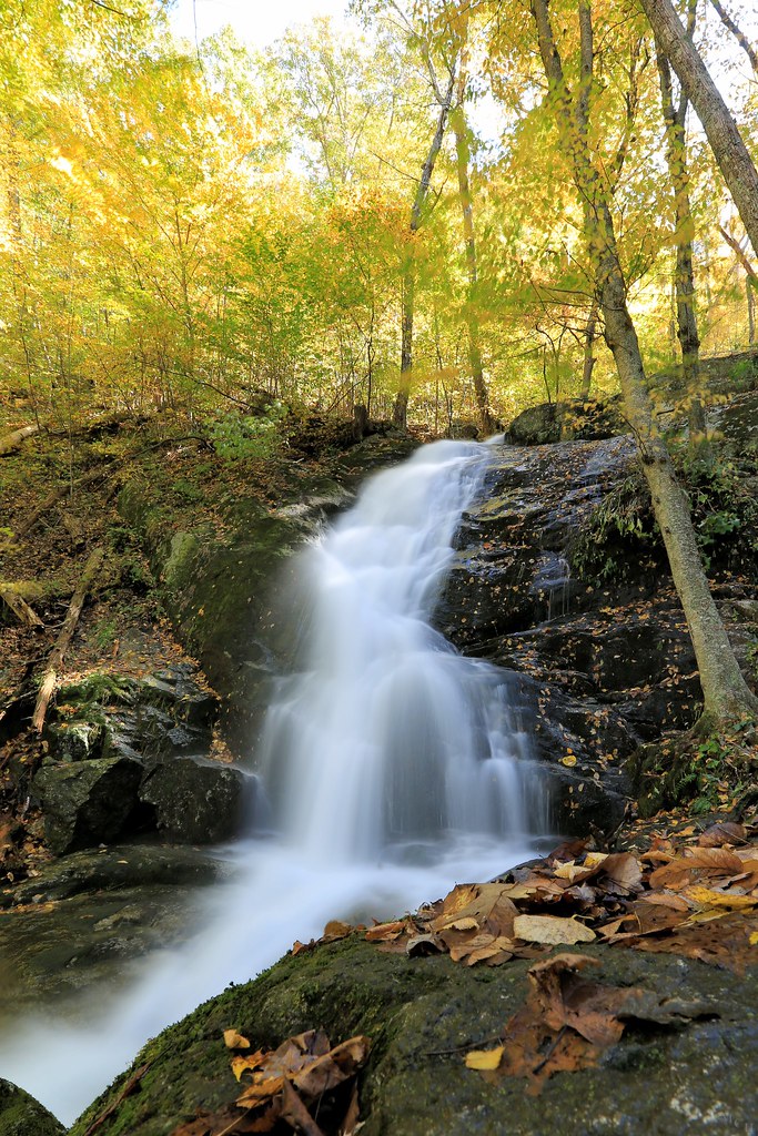
Crabtree Falls in the Fall

Snow Bound 2014_diffused glow

Out of the Mist a Forgotten Era II 2014_diffused glow
Appalachian Spring

why?

Spy Rock

Barrel House View

View from Devils Knob

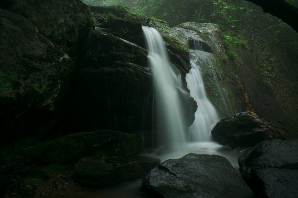
Crabtree Falls

panoramic view at Fairview

Foggy Mountain Breakdown

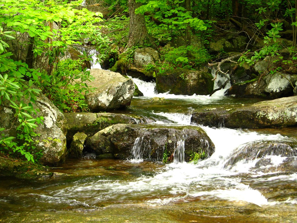
crabtree trail view

Spy Rock

Crabtree Falls

Roseland, VA

A Mouses Point of View

Crabtree Falls

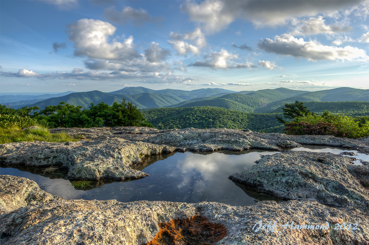
Puddle Shot

White Rock Falls

IMG_0025-2.jpg
White Rock falls

IMG_0020-2.jpg
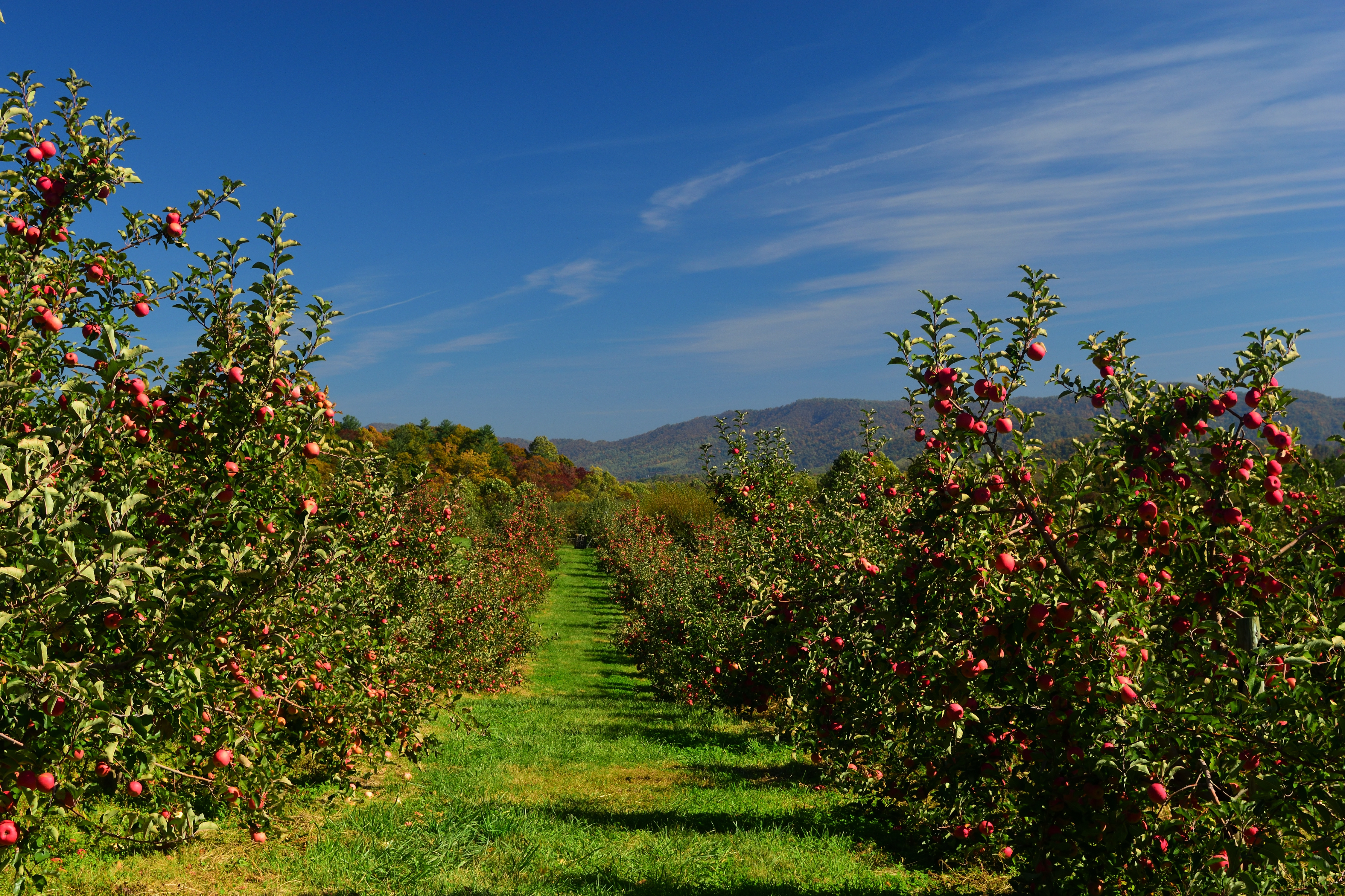
Apple Orchard

crabtree falls

IMG_0001.jpg

Small waterfall

IMG_1038.jpg
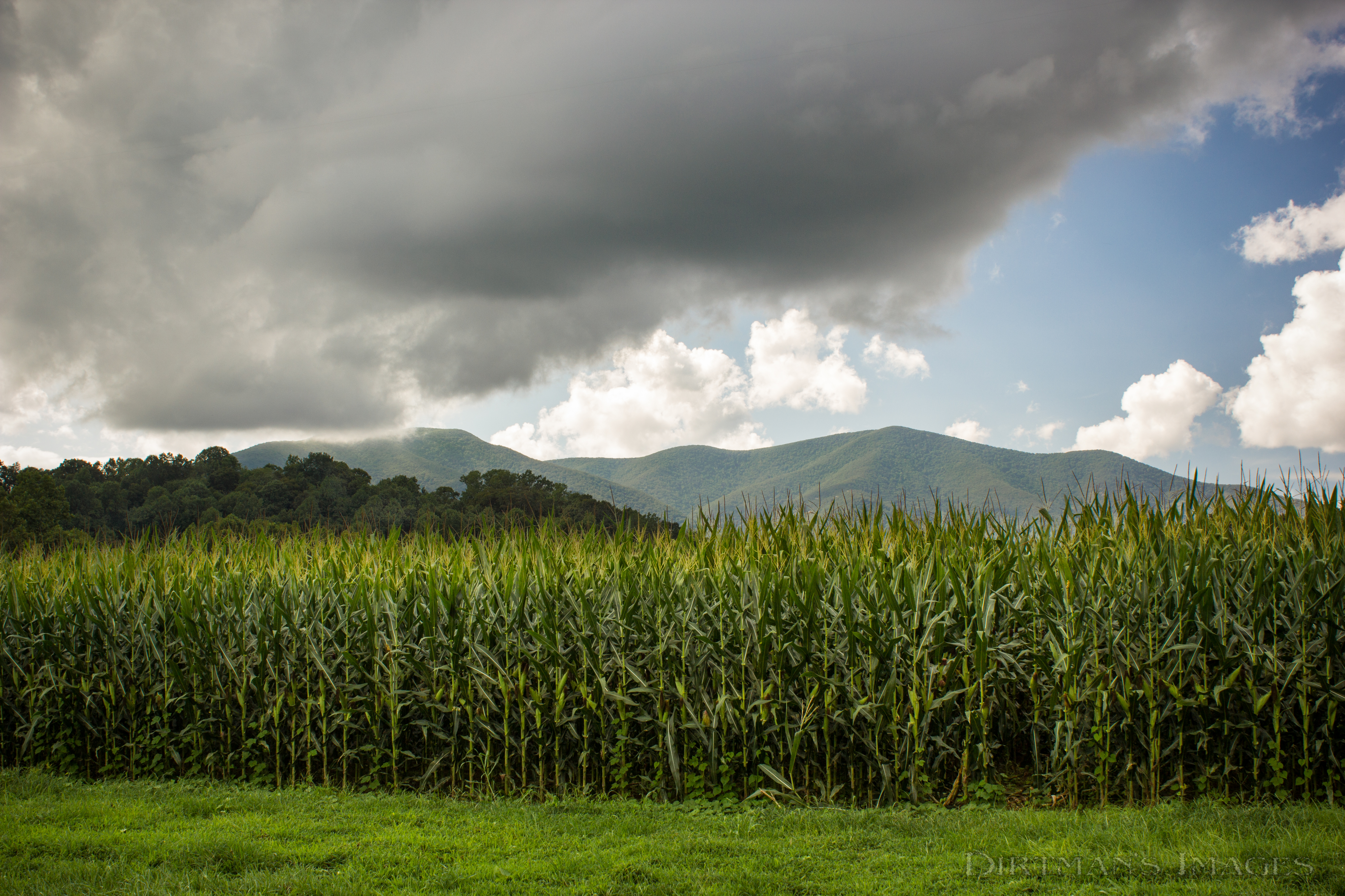
Fields of Gold under Mountains of Magesty

IMG_0029.jpg

crabtree falls in the spring...

Crabtree Falls

Sherando Lake

Spring Returns to the Mountains

Sherando Lake
Topographic Map of Massies Mill, VA, USA
Find elevation by address:

Places in Massies Mill, VA, USA:
Places near Massies Mill, VA, USA:
447 Persimmon Hill Dr
Pigeon Hill Rd, Roseland, VA, USA
2500 Level Green Rd
473 Gunter Hollow Ln
Roseland
2857 Dark Hollow Rd
3981 Lowesville Rd
3981 Lowesville Rd
3981 Lowesville Rd
3981 Lowesville Rd
Piney River
1464 Roses Mill Rd
370 Bowling Dr
1884 Fortune's Cove Ln
1500 Diggs Mountain Rd
Nelson County
Nelson County
306 Walnut Hill Rd
Thomas Nelson Highway
Thomas Nelson Highway
Recent Searches:
- Elevation of Tenjo, Cundinamarca, Colombia
- Elevation of Côte-des-Neiges, Montreal, QC H4A 3J6, Canada
- Elevation of Bobcat Dr, Helena, MT, USA
- Elevation of Zu den Ihlowbergen, Althüttendorf, Germany
- Elevation of Badaber, Peshawar, Khyber Pakhtunkhwa, Pakistan
- Elevation of SE Heron Loop, Lincoln City, OR, USA
- Elevation of Slanický ostrov, 01 Námestovo, Slovakia
- Elevation of Spaceport America, Co Rd A, Truth or Consequences, NM, USA
- Elevation of Warwick, RI, USA
- Elevation of Fern Rd, Whitmore, CA, USA