Elevation of 2, VA, USA
Location: United States > Virginia > Amherst County >
Longitude: -79.132274
Latitude: 37.7082176
Elevation: 358m / 1175feet
Barometric Pressure: 97KPa
Elevation Map:
Satellite Map:
Related Photos:

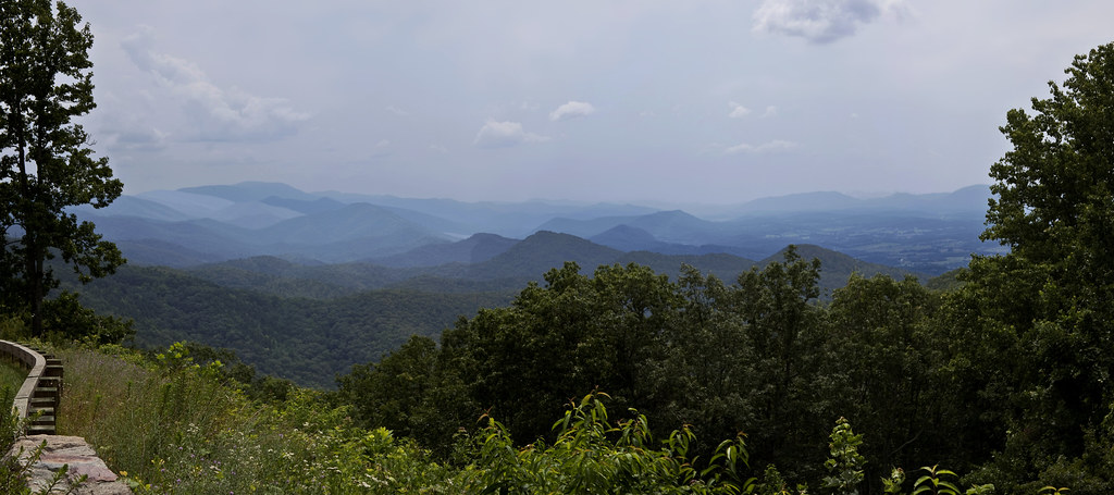
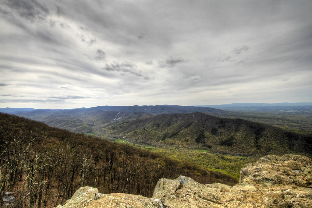
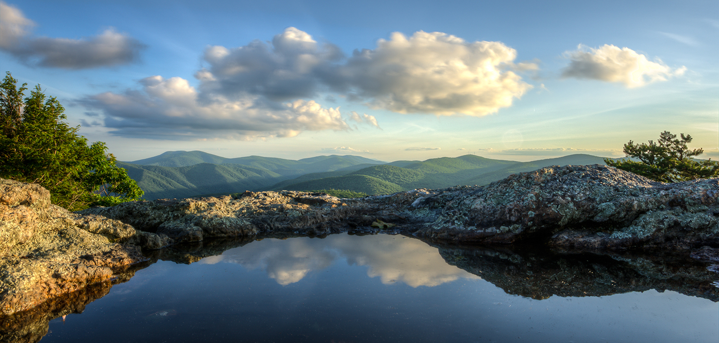
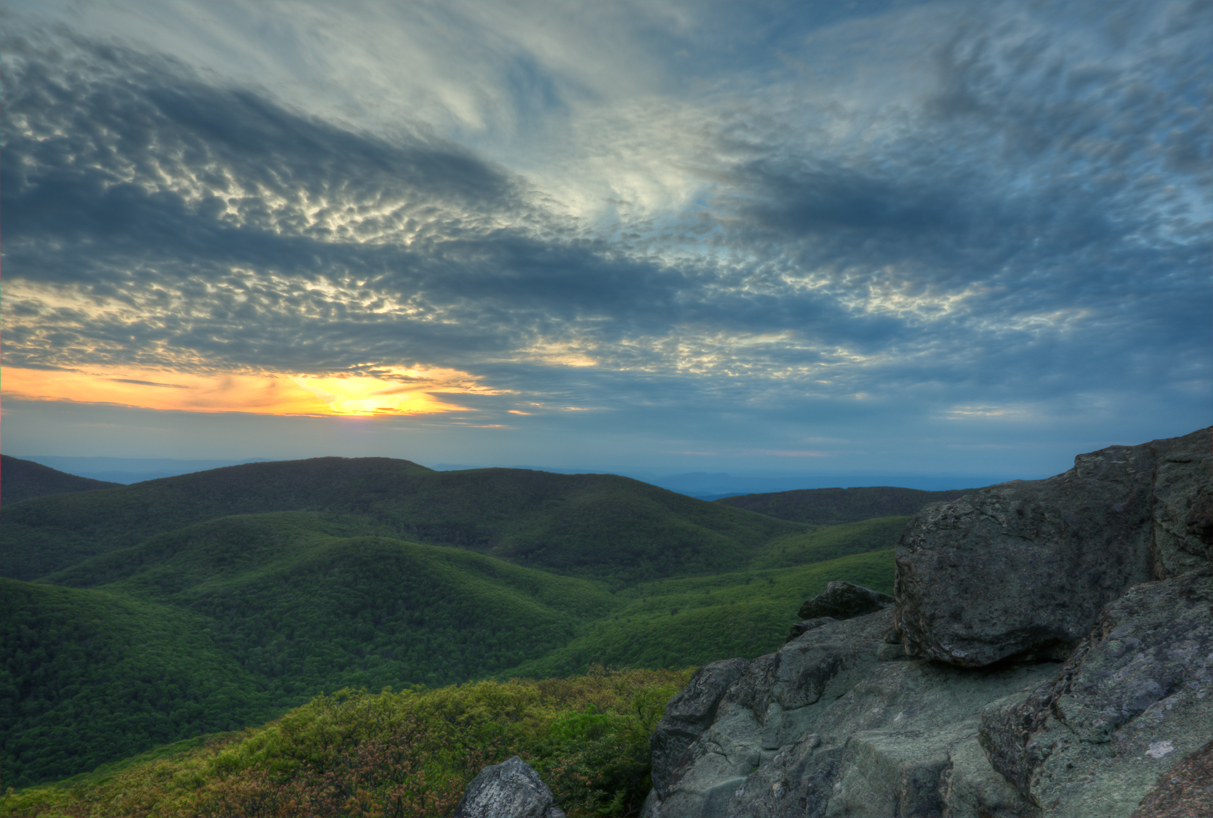
View from Spy Rock

Milky Way

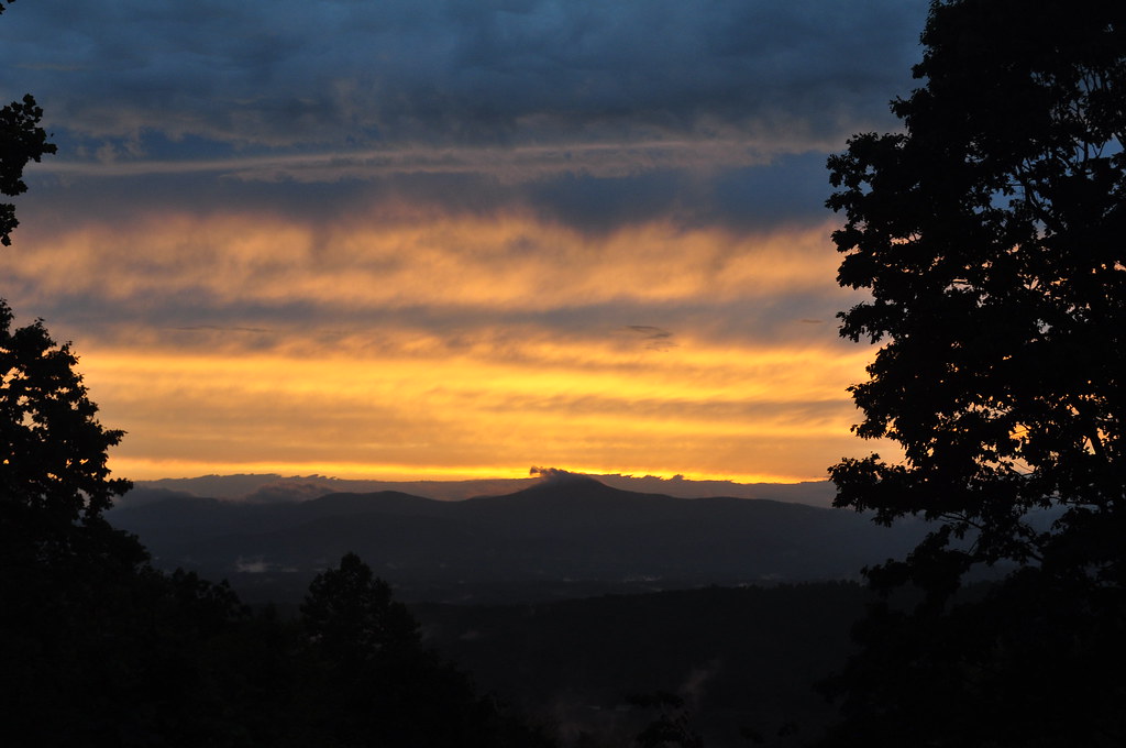
Sunset on the Appalachian Trail
why?
View from my Deck
good morning! before all the leaves fall off, I would highly suggest you to check this view out within the next couple of weeks. take your family, kids and camera BUT don't forget to layer up. It's ultra windy up here, note the redness of my hands #explor
View from my Deck
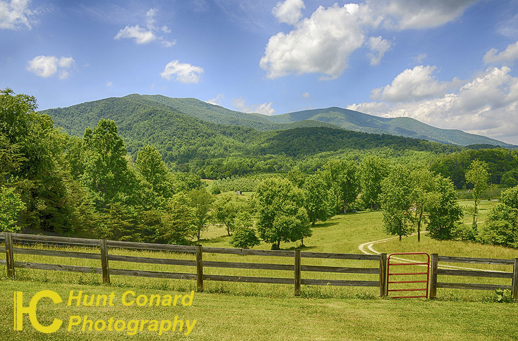
Chimney Rock Mountain Overlook

Foggy Bottom
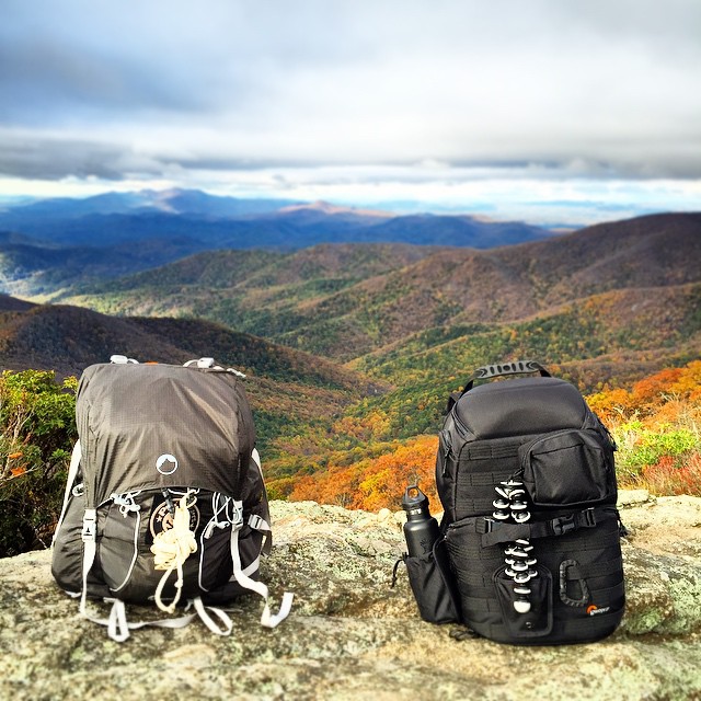
last shoot before I head home. on assignment for next years editorials, shooting atop Mt Pleasant, rated #1 summit for best Fall view on the east coast by @backpackermag #hiregfp #lowepro #protactic #photosport #30L #fall #onlocation #photographer @lowepr
May Sunset

Pharsalia Mist
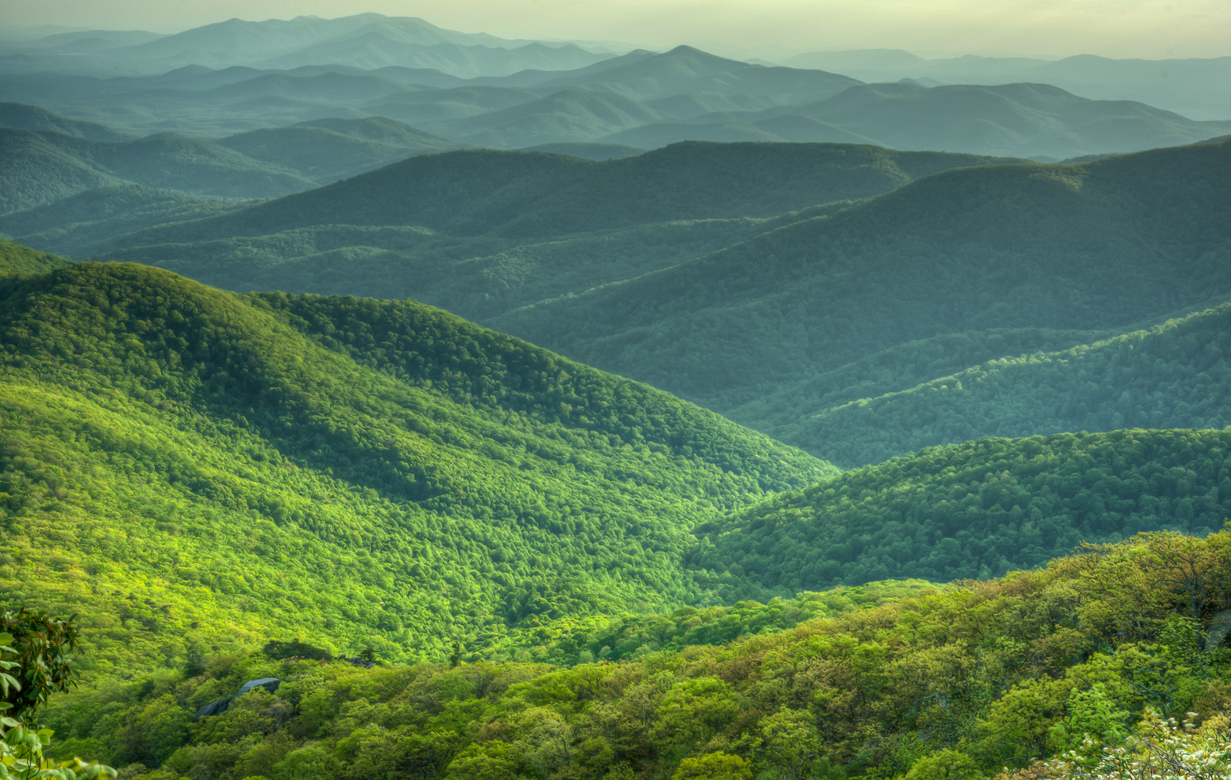
View from Mount Pleasant

Anyone for Comet Watching?
Raven's Roost ~ Long View

Late Light - Blue Ridge Parkway
Roseland, VA
a blanket knitted from clouds
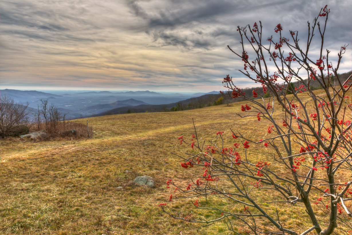
View from Cold Mt
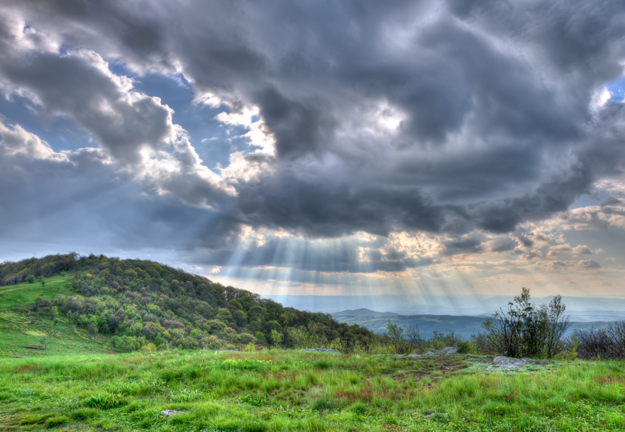
Light Rays
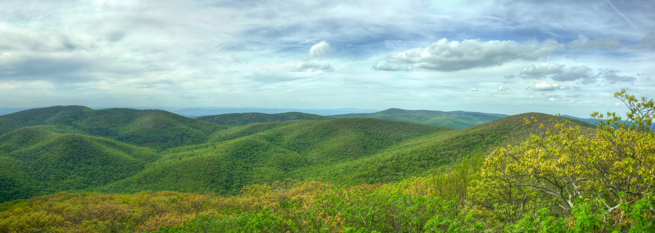
West Overlook Pano
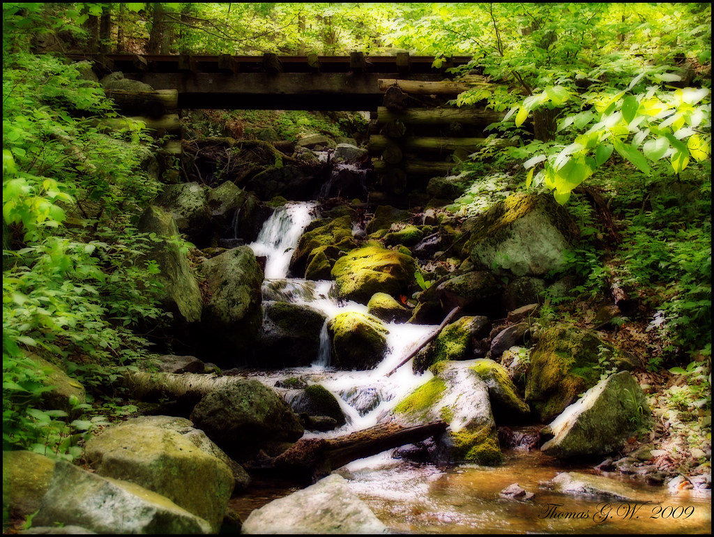
P5160008 RAIL BRIDGE
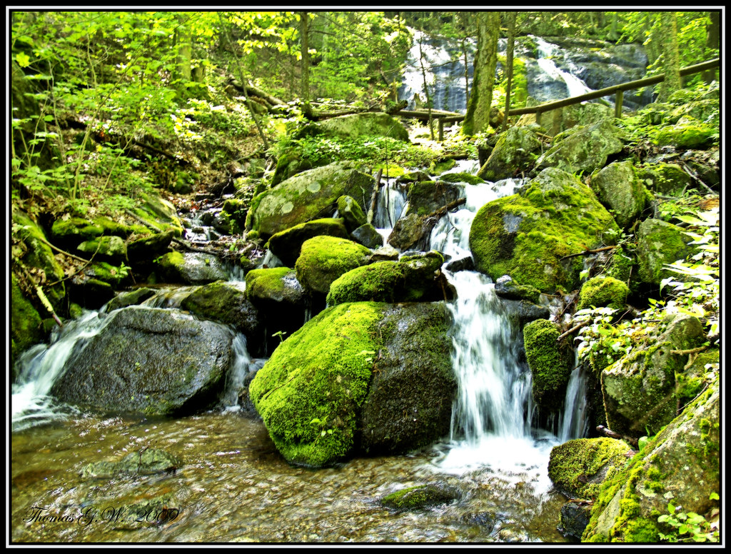
Cascade 1
Puddle Shot
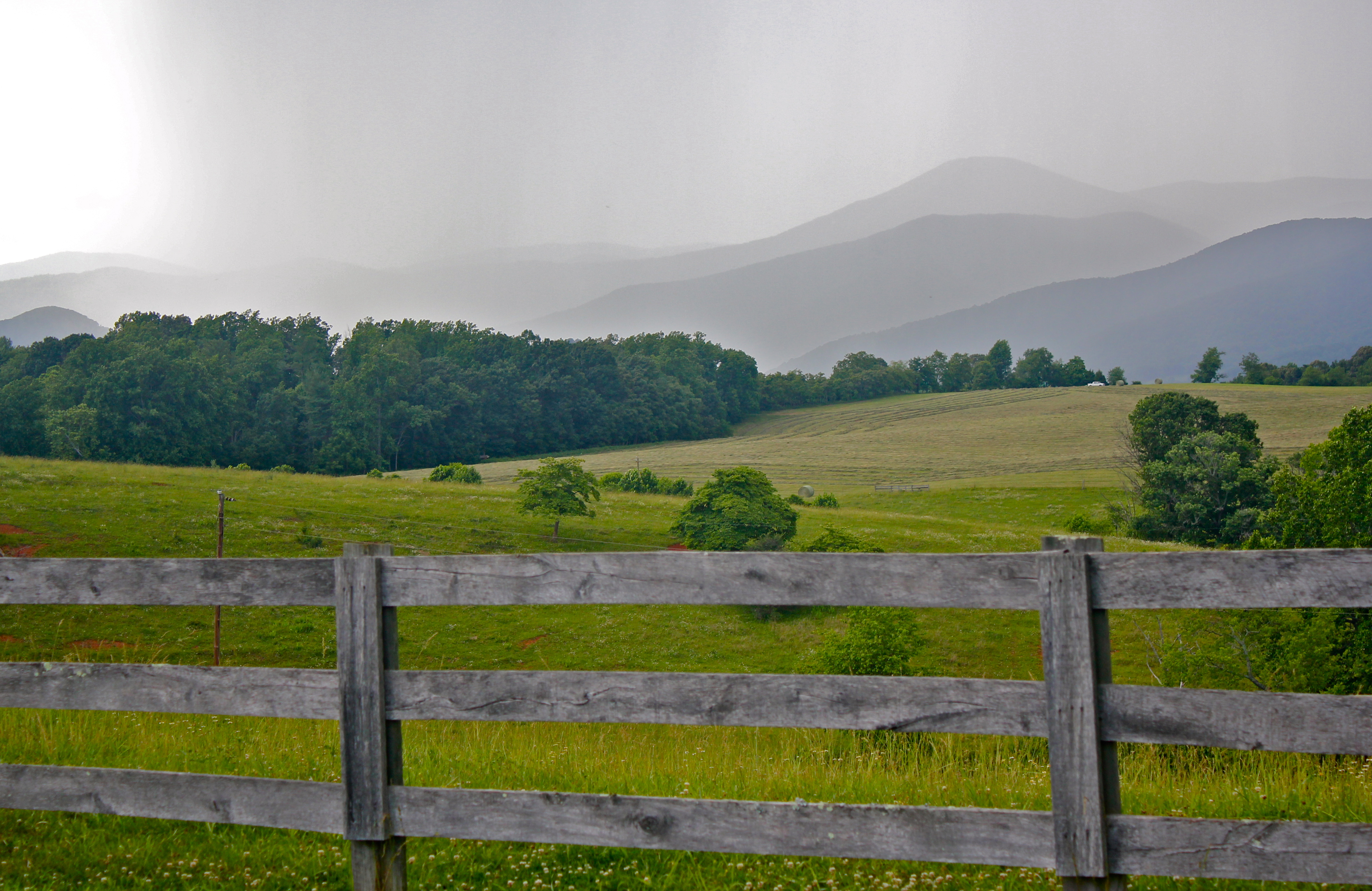
Rain coming in over the Blue Ridge Mountains

Sunset over Blue Ridge

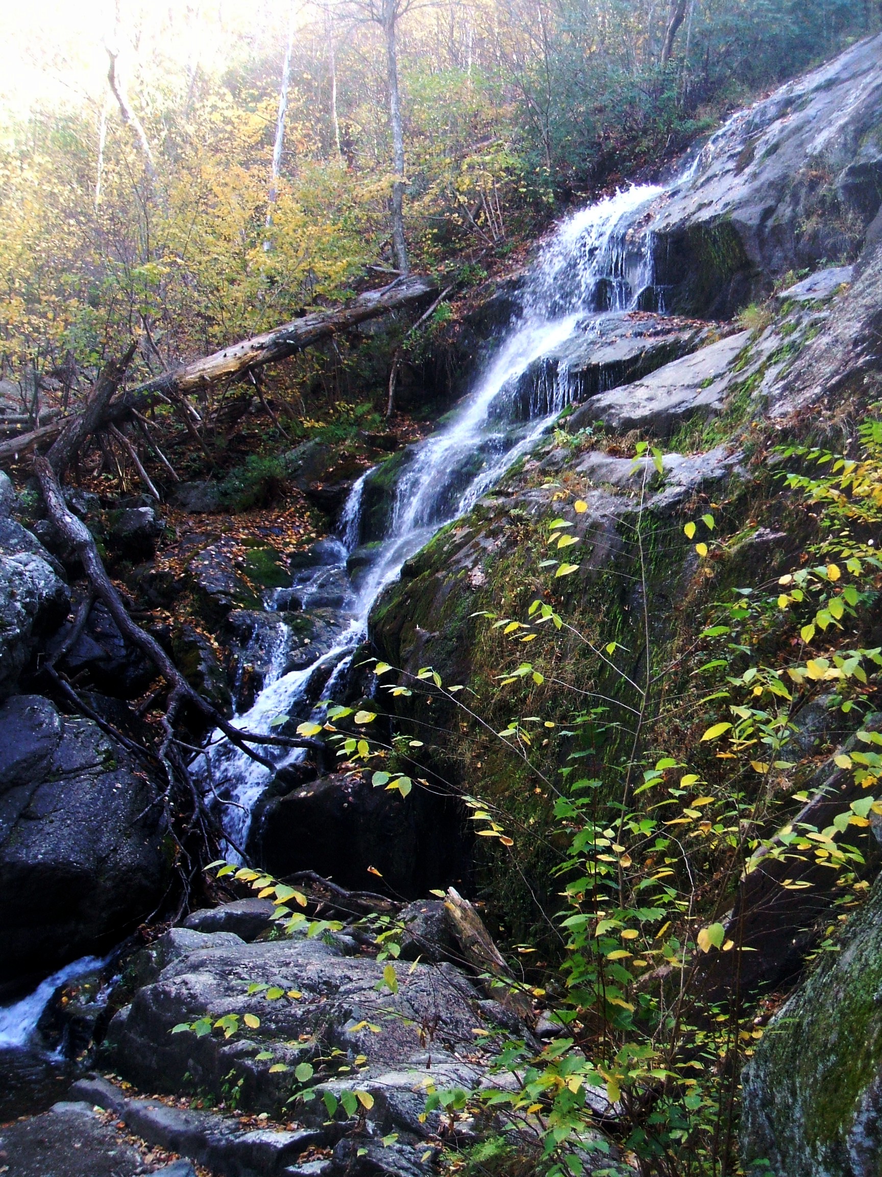
Crabtree Falls VA - 2014-04-16 (254)

Crabtree Falls VA - 2014-04-16 (91)
Crabtree Falls

Rails to nowhere

Crabtree Falls VA - 2014-04-16 (235)
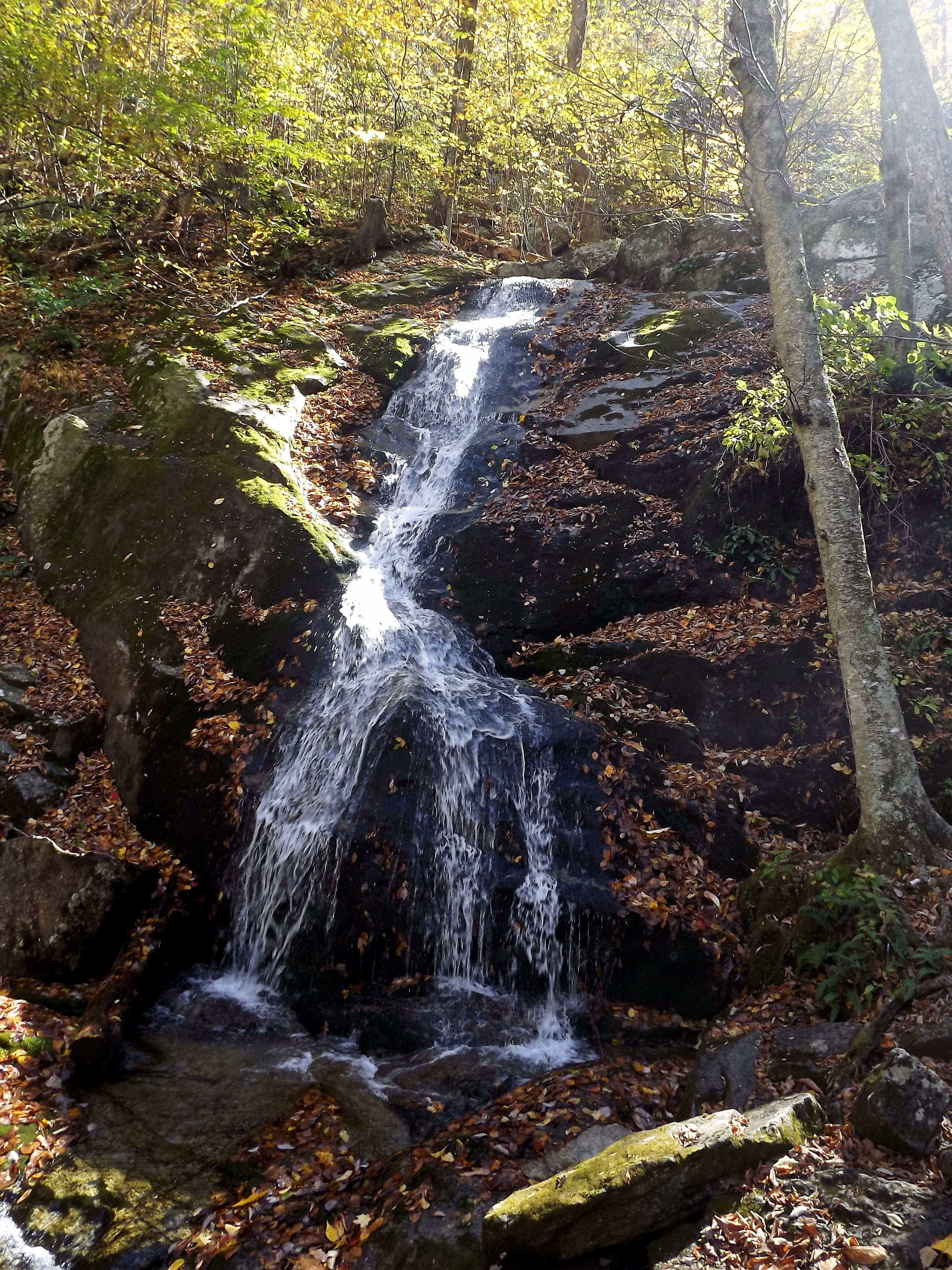
Lowest section of Crabtree Falls

Crabtree Falls VA - 2014-04-16 (107)

Crabtree Falls VA - 2014-04-16 (15)

Crabtree Falls VA - 2014-04-16 (48)

Crabtree Falls VA - 2014-04-16 (175)
Mount Pleasant Sunset
Topographic Map of 2, VA, USA
Find elevation by address:

Places in 2, VA, USA:
Places near 2, VA, USA:
1270 Thrashers Creek Rd
1406 Thrashers Creek Rd
Thrashers Creek Road
355 Panther Mountain Rd
Wiggins Spring Road
151 Samuetta Ln
612 Wiggins Spring Rd
Kersey Road
267 Alto Rd
Mountain Top Drive
434 Stinnett Rd
378 Mountain Top Dr
162 Hemlock Trail
157 White Pine Dr
377 Roberts Rd
2544 Spruce Ave
774 Longhollow Rd
2207 Chestnut Ave
Buena Vista
Target Hill
Recent Searches:
- Elevation of Corso Fratelli Cairoli, 35, Macerata MC, Italy
- Elevation of Tallevast Rd, Sarasota, FL, USA
- Elevation of 4th St E, Sonoma, CA, USA
- Elevation of Black Hollow Rd, Pennsdale, PA, USA
- Elevation of Oakland Ave, Williamsport, PA, USA
- Elevation of Pedrógão Grande, Portugal
- Elevation of Klee Dr, Martinsburg, WV, USA
- Elevation of Via Roma, Pieranica CR, Italy
- Elevation of Tavkvetili Mountain, Georgia
- Elevation of Hartfords Bluff Cir, Mt Pleasant, SC, USA