Elevation of White County, AR, USA
Location: United States > Arkansas >
Longitude: -91.753881
Latitude: 35.2900612
Elevation: 109m / 358feet
Barometric Pressure: 100KPa
Elevation Map:
Satellite Map:
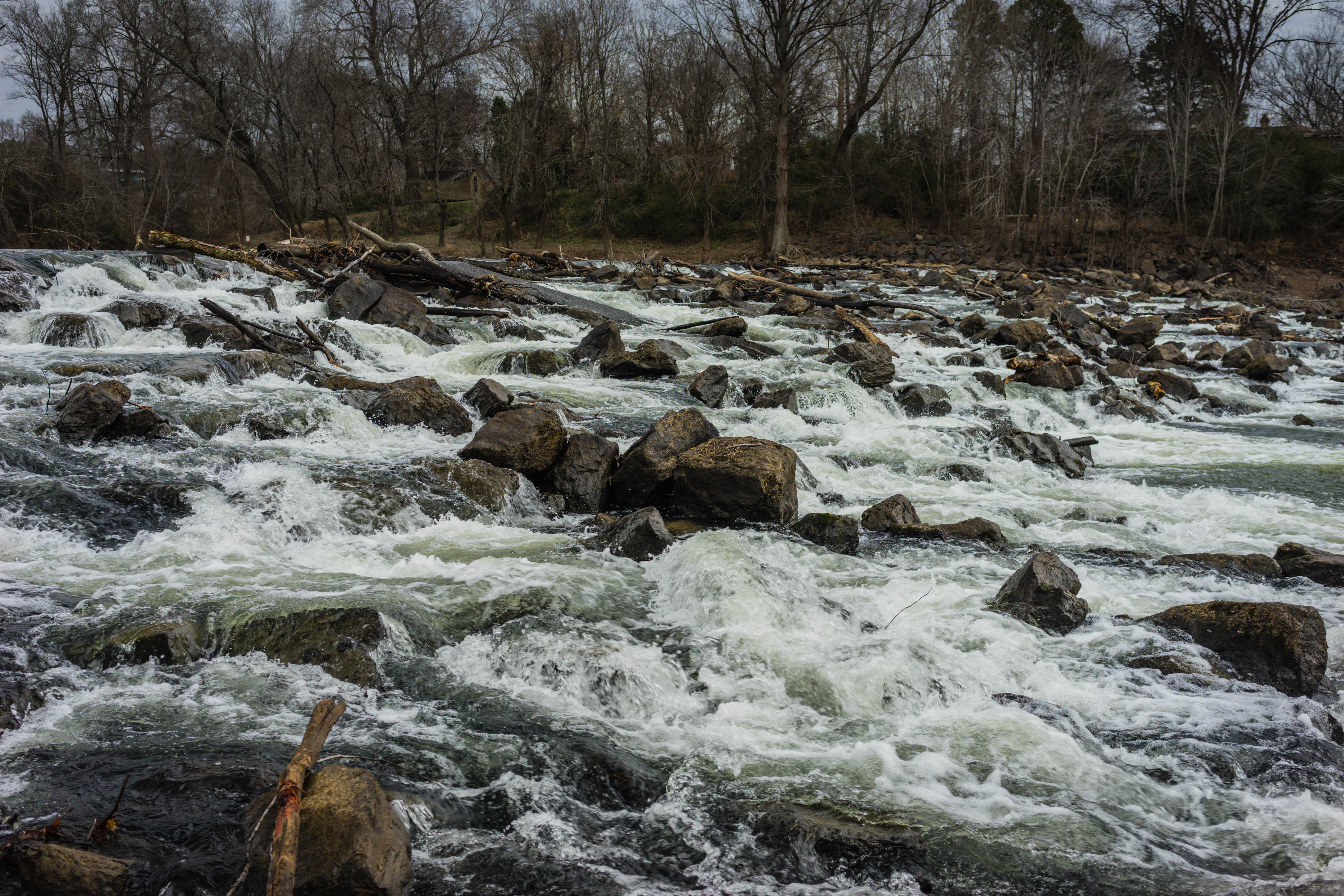
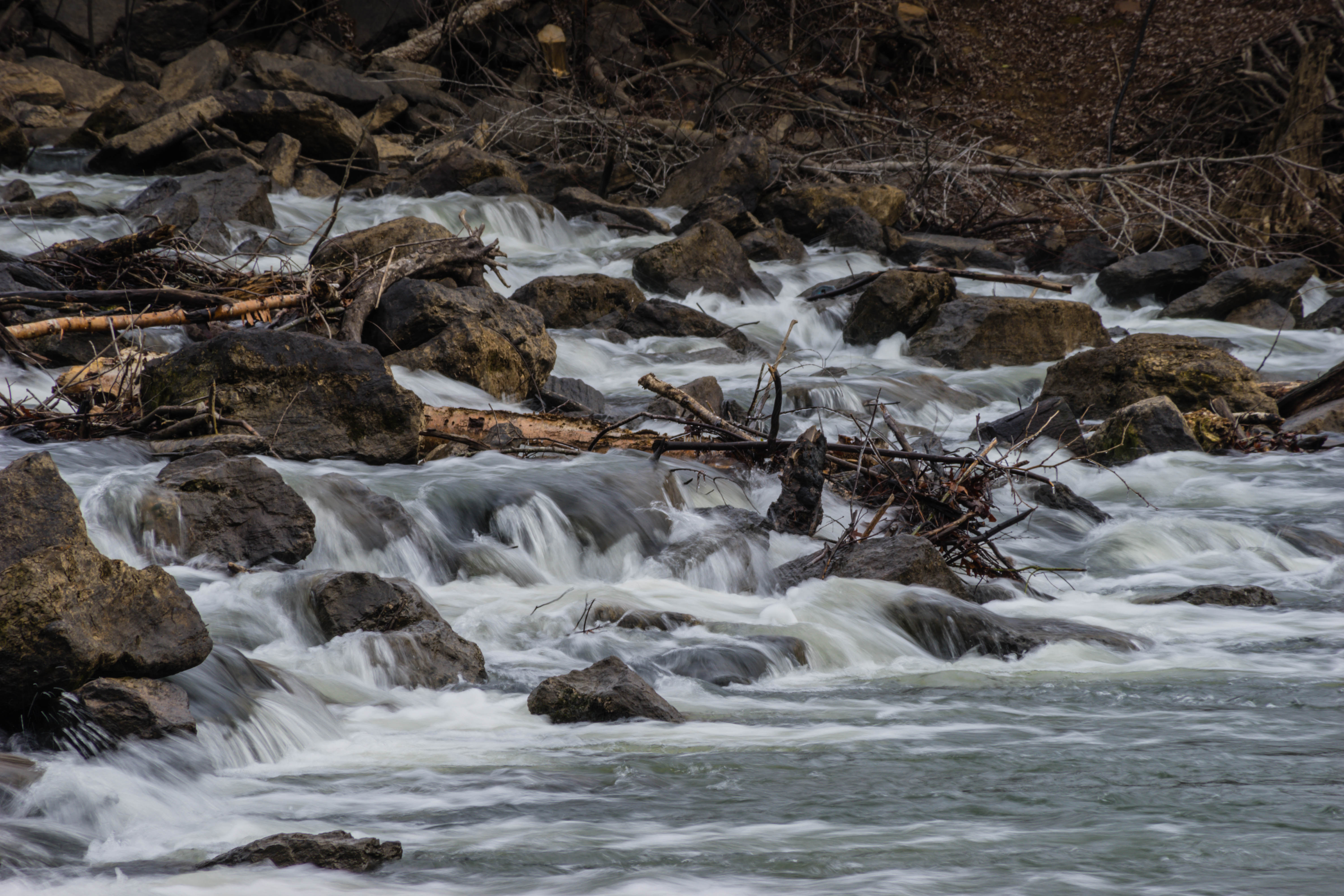
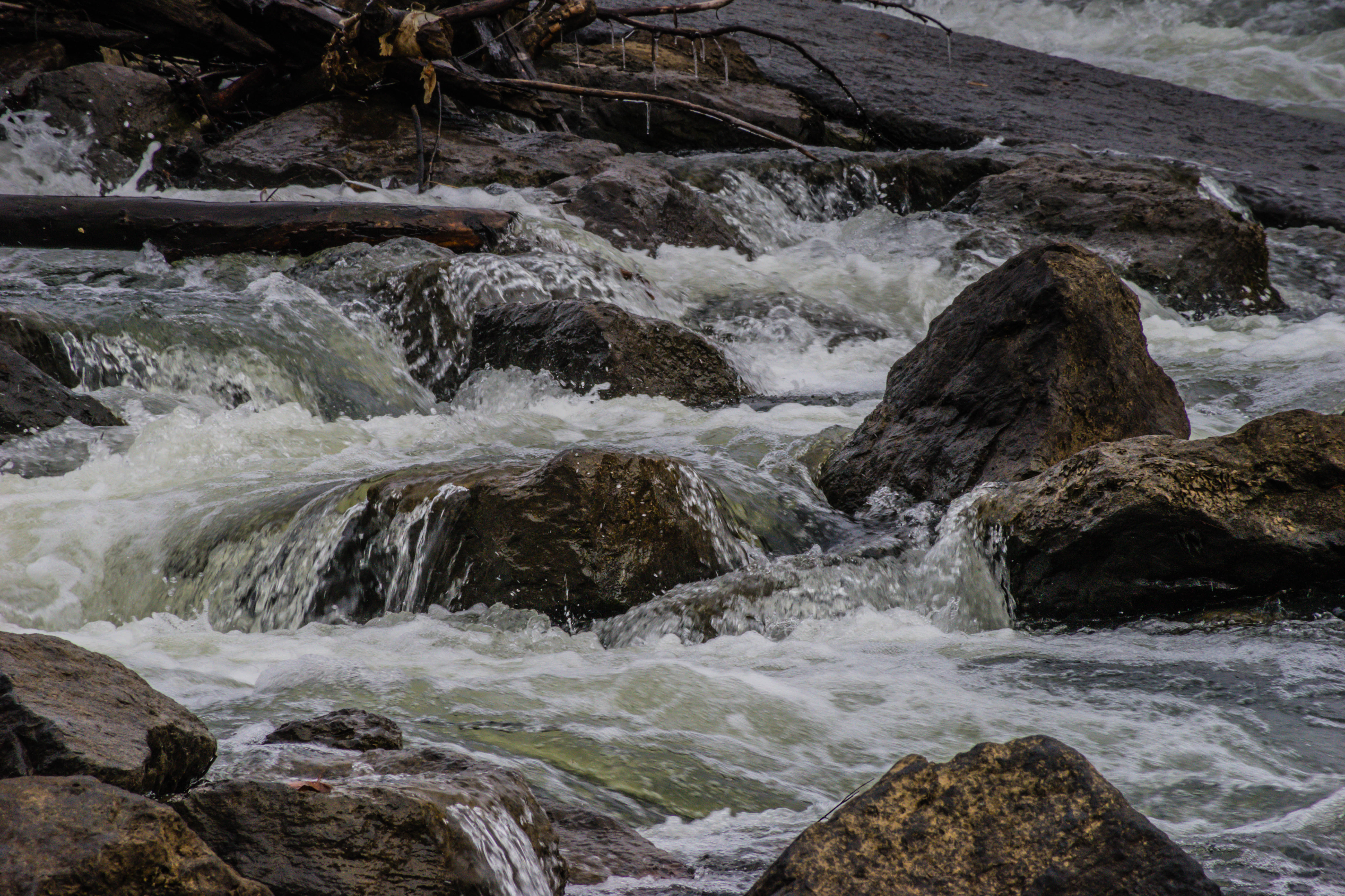
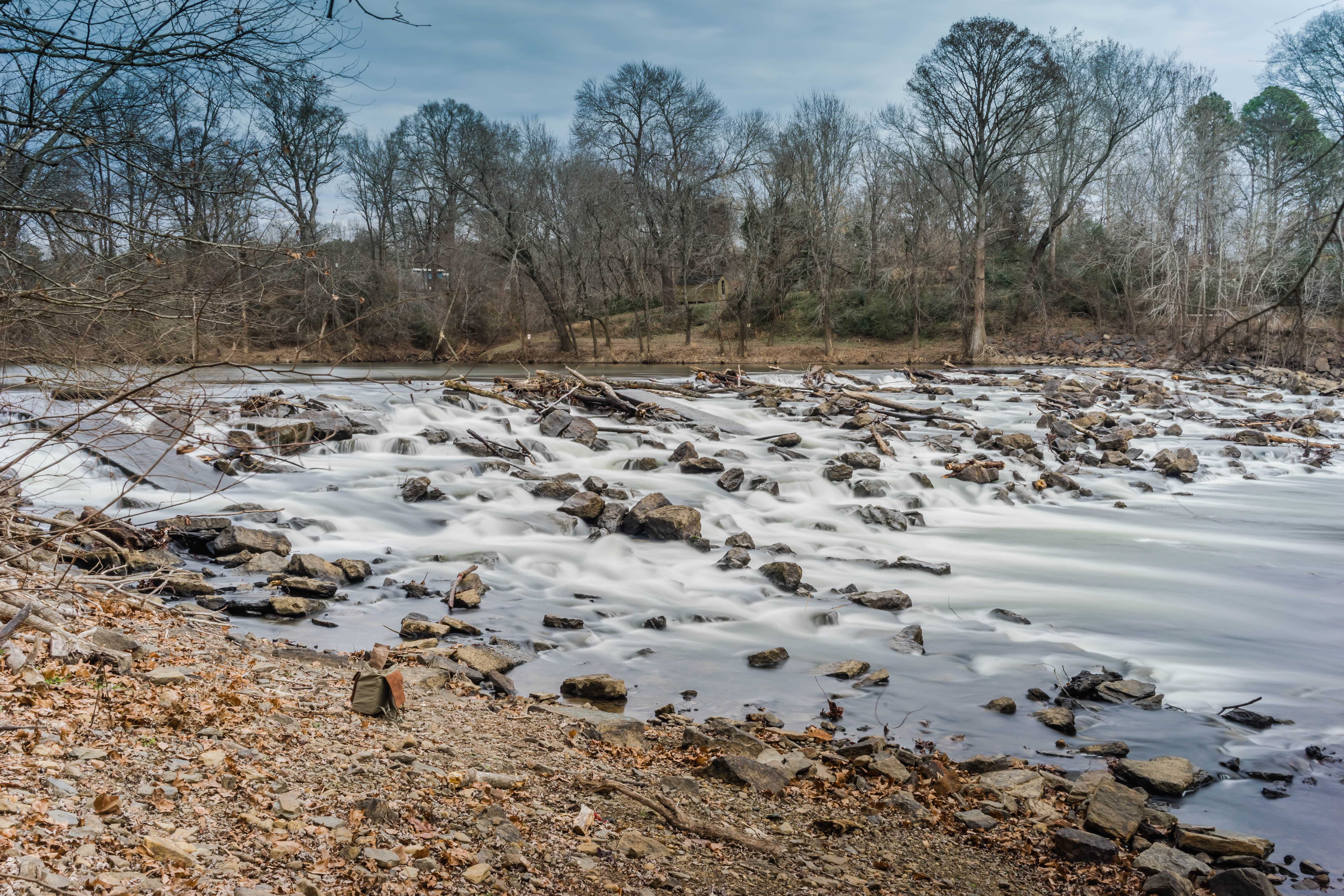
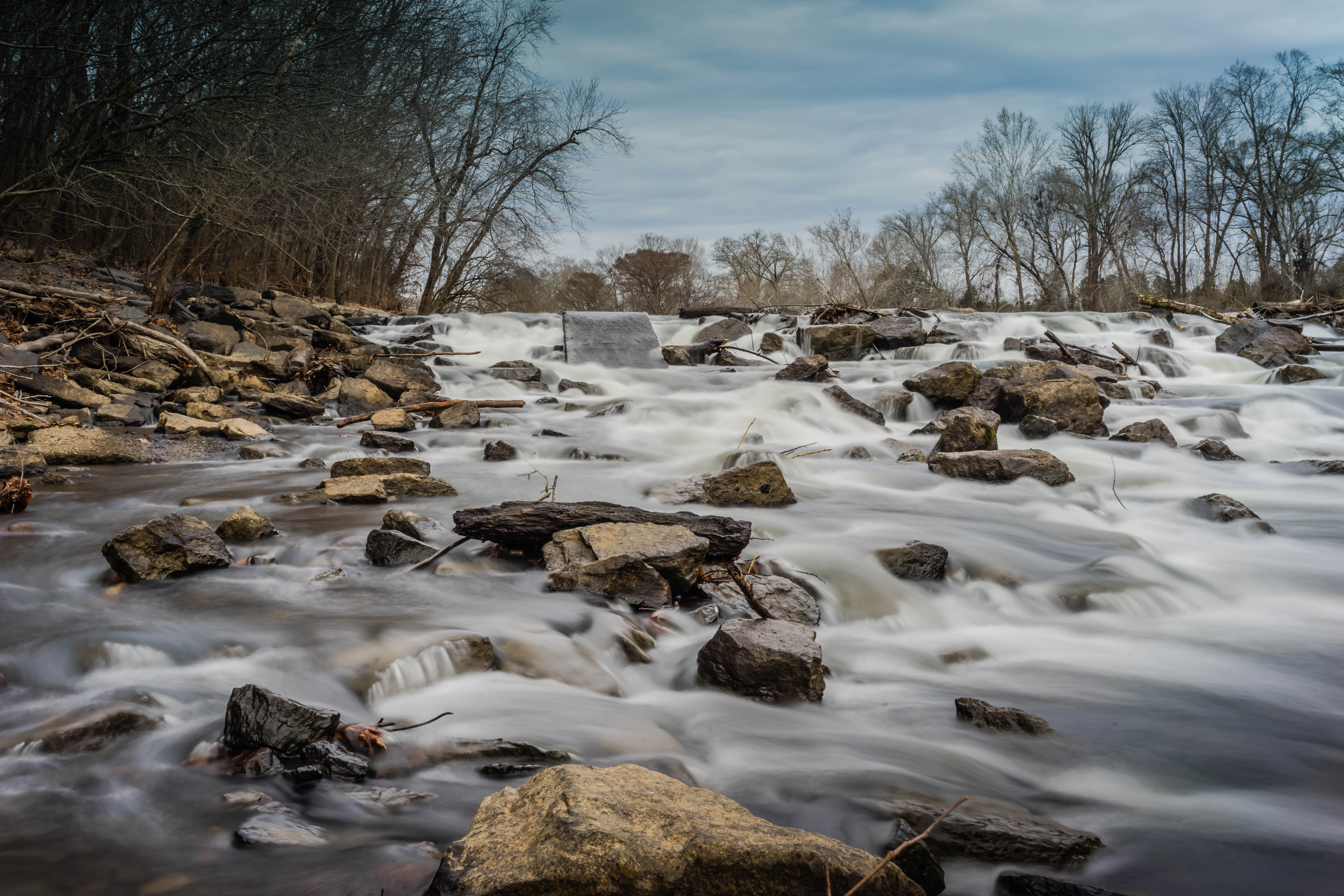
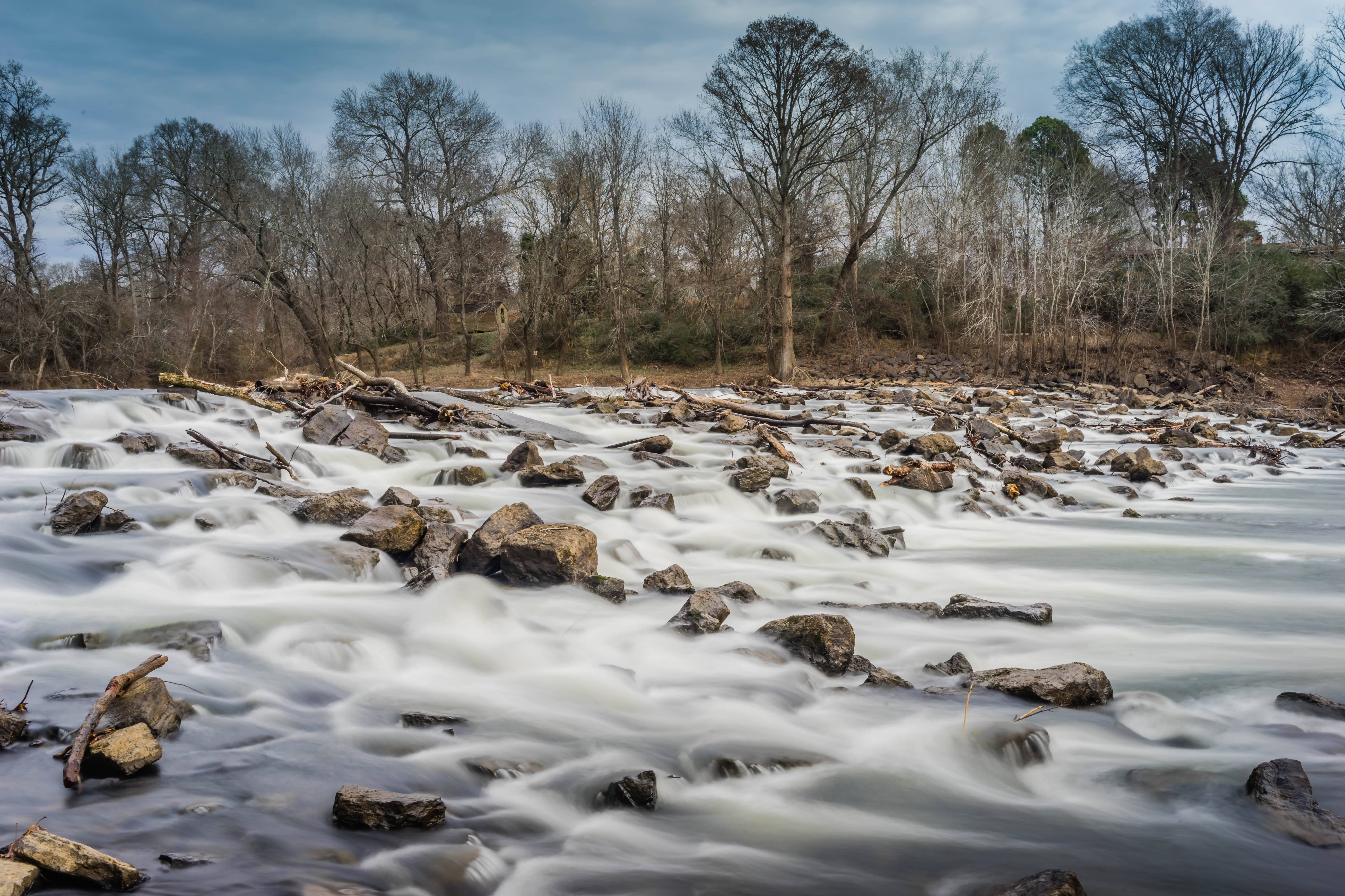
Related Photos:

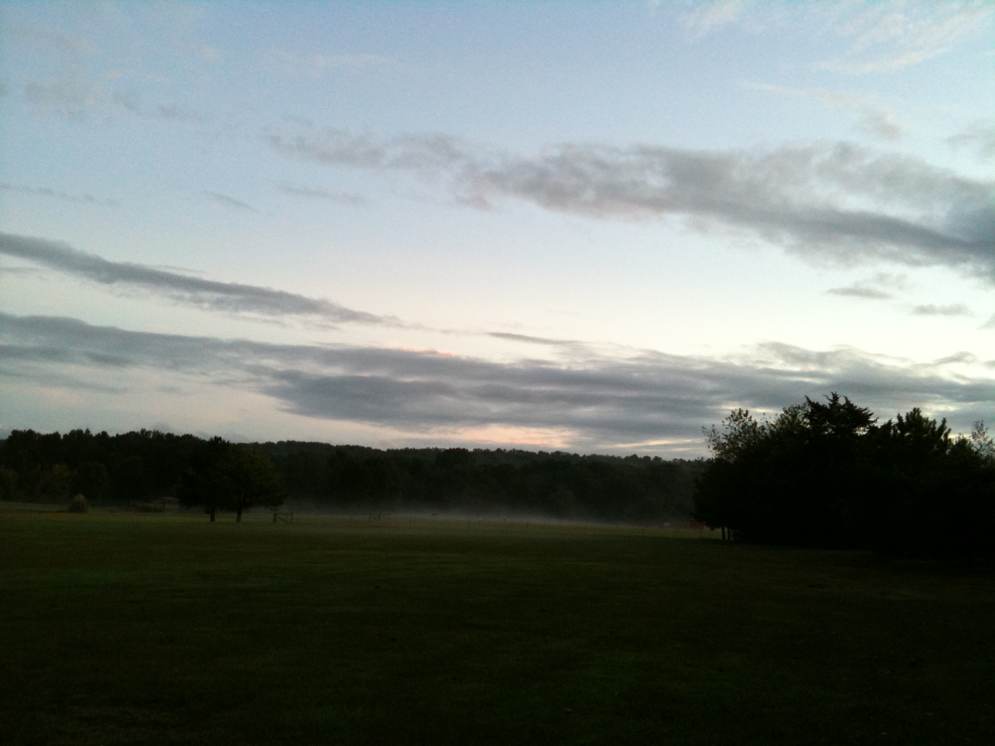
Early morning fall colors

All five kids at school. My view for the day. Can't you hear the quiet!!! 3/365
The view behind Boomers
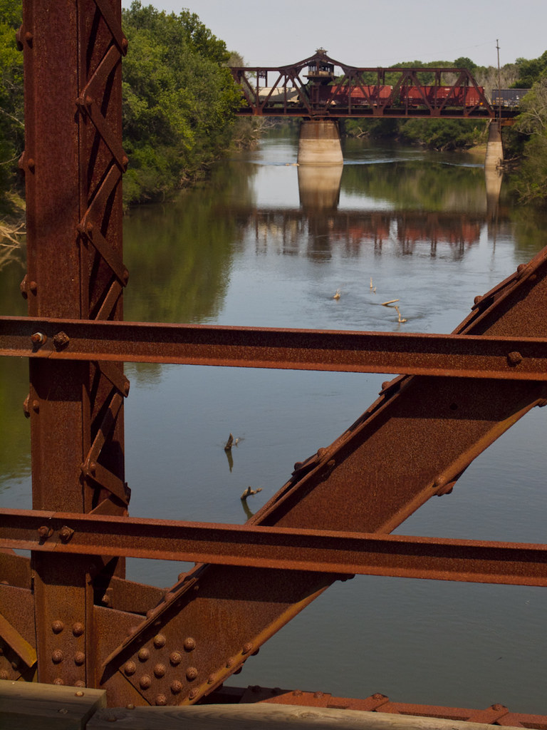
Dueling Bridges
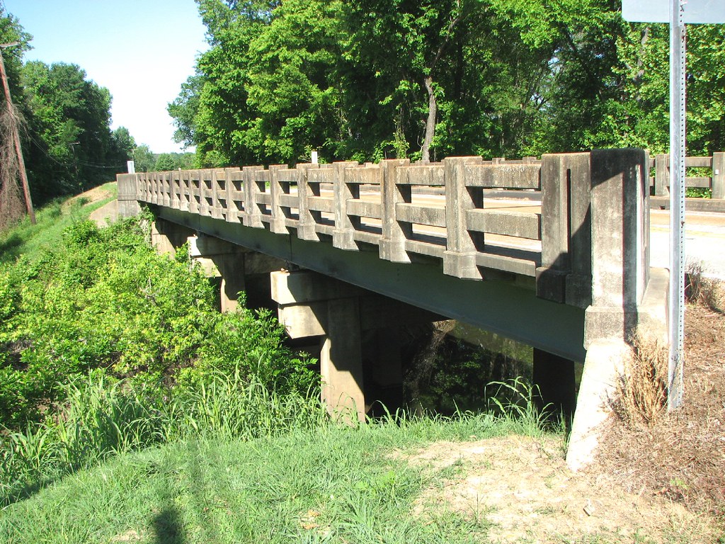
Corley Branch Bridge-Side View

Fall pathway
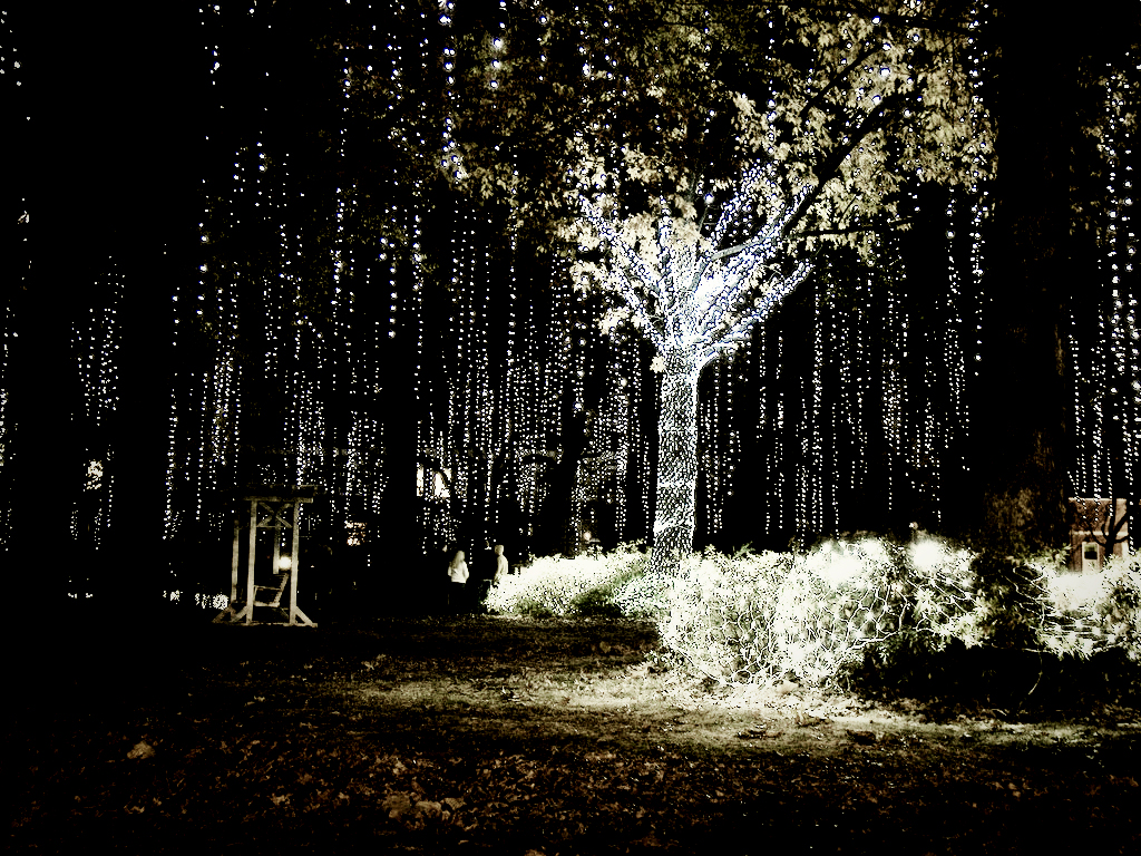
Happy Christmas (War is Over)
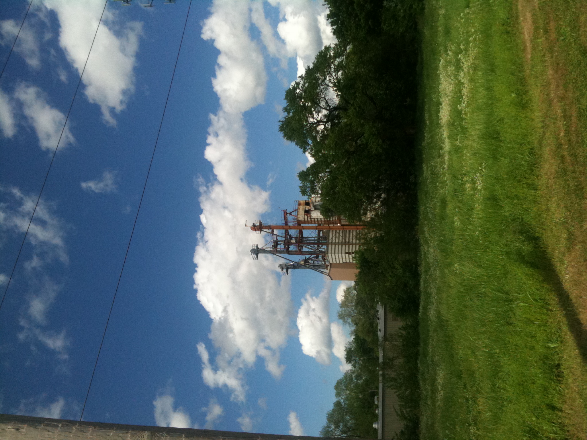
Old Feed Factory
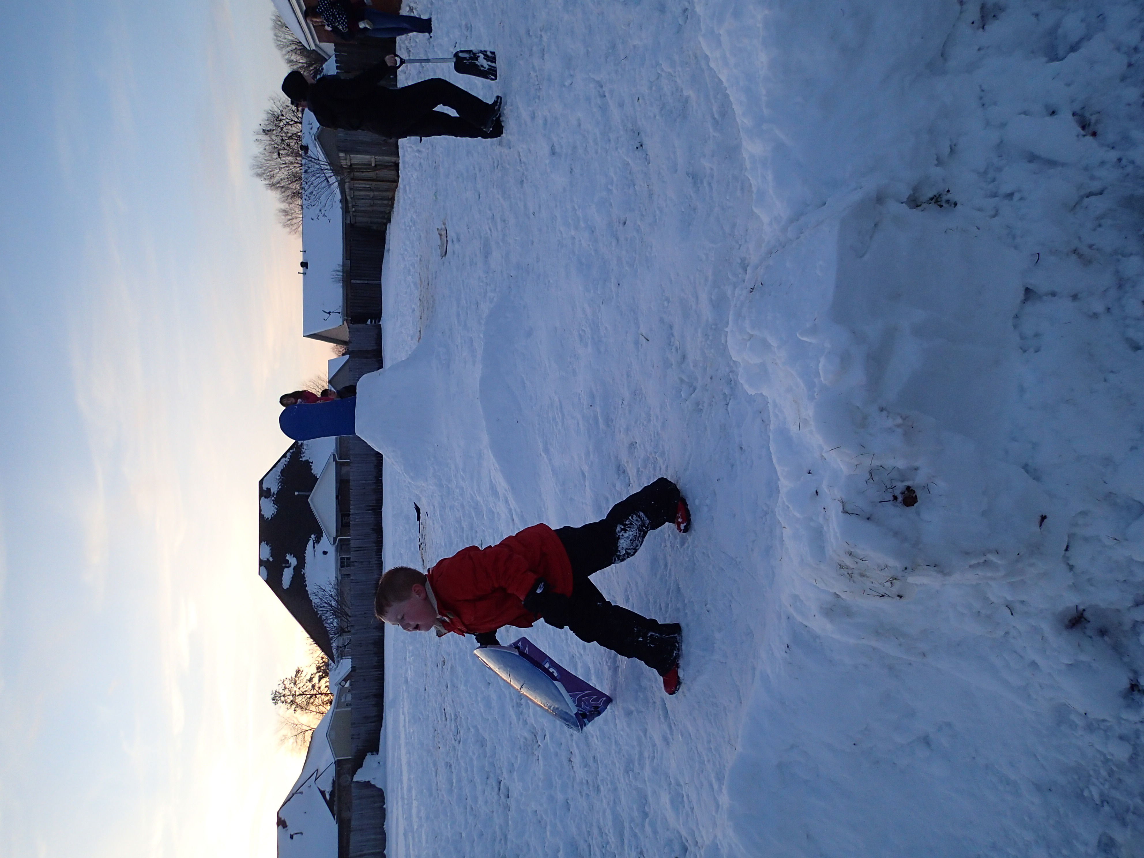
2012-12-26 at 17-56-38
_DSC0722.jpg
_DSC0703.jpg

_DSC0702.jpg
_DSC0689.jpg

_DSC0668.jpg

_DSC0662.jpg
_DSC0659.jpg

_DSC0657.jpg
_DSC0656.jpg
_DSC0654.jpg
_DSC0647.jpg

_DSC0644.jpg
_DSC0639.jpg
Topographic Map of White County, AR, USA
Find elevation by address:

Places in White County, AR, USA:
Dogwood Township
Union Township
Velvet Ridge Township
Coffey Township
Gray Township
Francure Township
Red River Township
Bald Knob
Cypert Township
El Paso Township
Des Arc Township
Denmark Township
Higginson Township
Gum Springs Township
Crosby Township
Harrison Township
Cadron Township
Chrisp Township
Albion Township
Liberty Township
Kensett Township
Big Creek Township
Garner Township
Walker Township
Clay Township
Cane Township
Hickory Flat Rd, Pangburn, AR, USA
Warren Rd, Judsonia, AR, USA
AR-, Judsonia, AR, USA
Kentucky Township
Mcrae Township
Antioch Township
Marion Township
Gravel Hill Township
Places near White County, AR, USA:
1302 Fox Ave
Searcy
401 Calvin Court
Harding University
2210 Dodge Ave
2001 Benton St
Hwy N, Judsonia, AR, USA
450 Ar-367
Harrison Township
Kensett
Wilbur D Mills Ave, Kensett, AR, USA
Kensett Township
Judsonia
Higginson Township
202 Adkins St
Bald Knob
S Elm St, Bald Knob, AR, USA
Red River Township
AR-36, Searcy, AR, USA
Bald Knob
Recent Searches:
- Elevation of Corso Fratelli Cairoli, 35, Macerata MC, Italy
- Elevation of Tallevast Rd, Sarasota, FL, USA
- Elevation of 4th St E, Sonoma, CA, USA
- Elevation of Black Hollow Rd, Pennsdale, PA, USA
- Elevation of Oakland Ave, Williamsport, PA, USA
- Elevation of Pedrógão Grande, Portugal
- Elevation of Klee Dr, Martinsburg, WV, USA
- Elevation of Via Roma, Pieranica CR, Italy
- Elevation of Tavkvetili Mountain, Georgia
- Elevation of Hartfords Bluff Cir, Mt Pleasant, SC, USA