Elevation of Union Township, AR, USA
Location: United States > Arkansas > White County >
Longitude: -91.880623
Latitude: 35.0573346
Elevation: 69m / 226feet
Barometric Pressure: 100KPa
Elevation Map:
Satellite Map:
Related Photos:

Meet The Flockers

Birds of a feather...
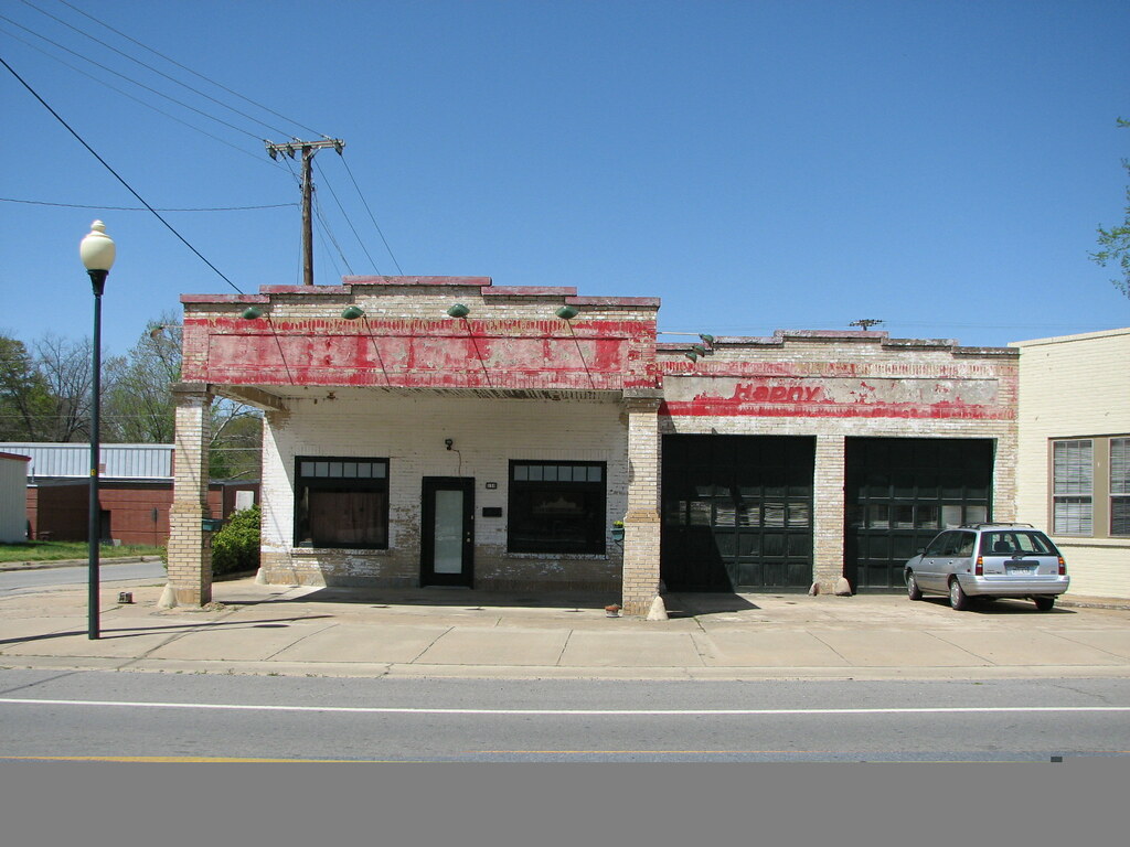
Beebe Esso I
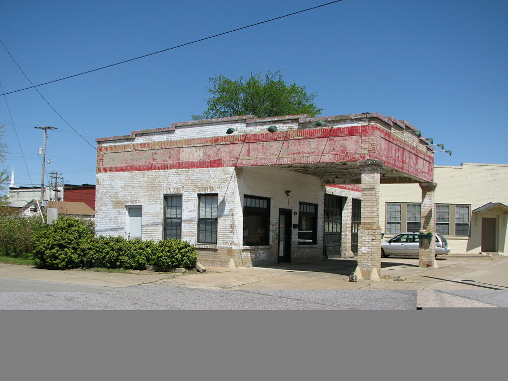
Beebe Esso II
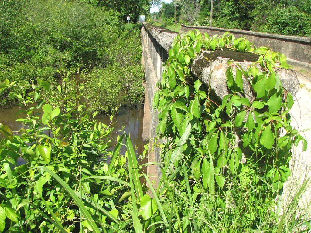
Bull Creek Relief (East)-Side View
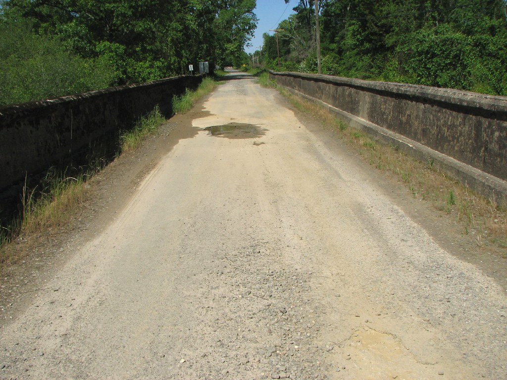
Bull Creek Relief (East)-Deck View

Another view of this beautiful haircut.????

Winter Photos
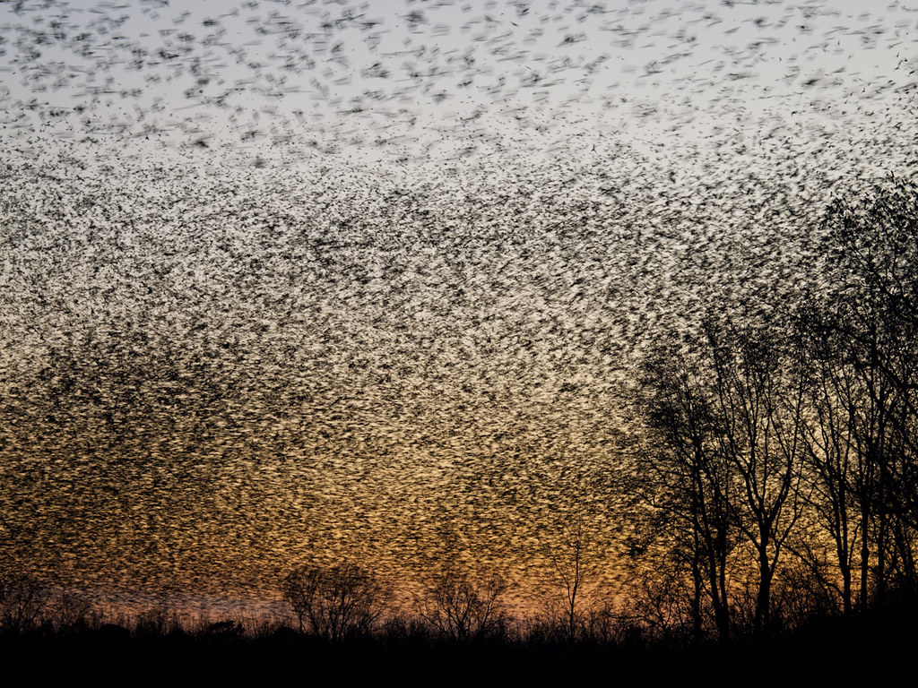
A bunch of birds over Beebe

(365)96-The sky after a storm.
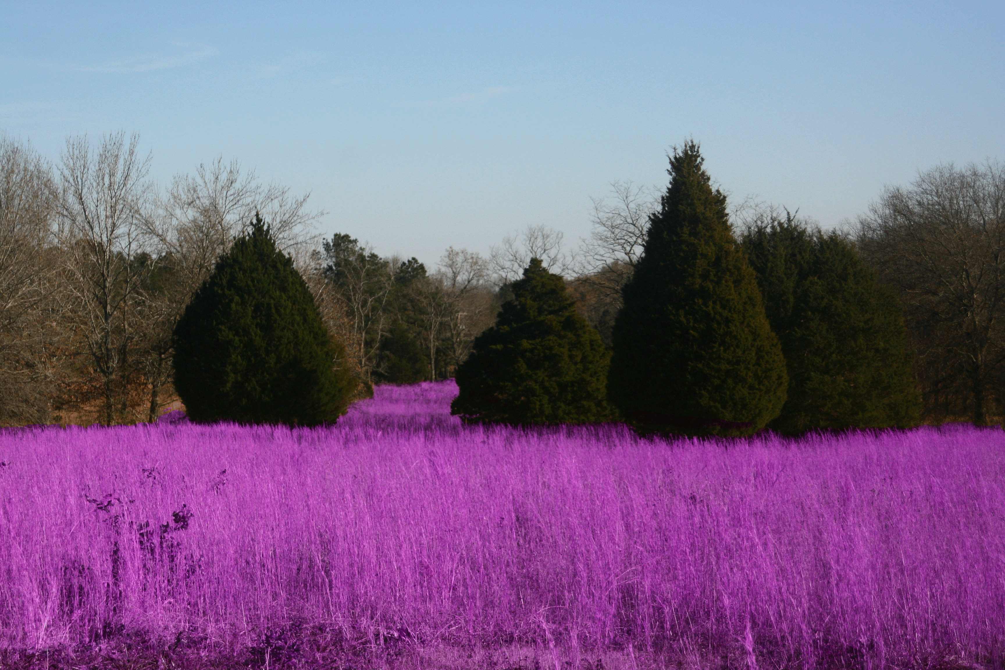
Grass isn't always greener
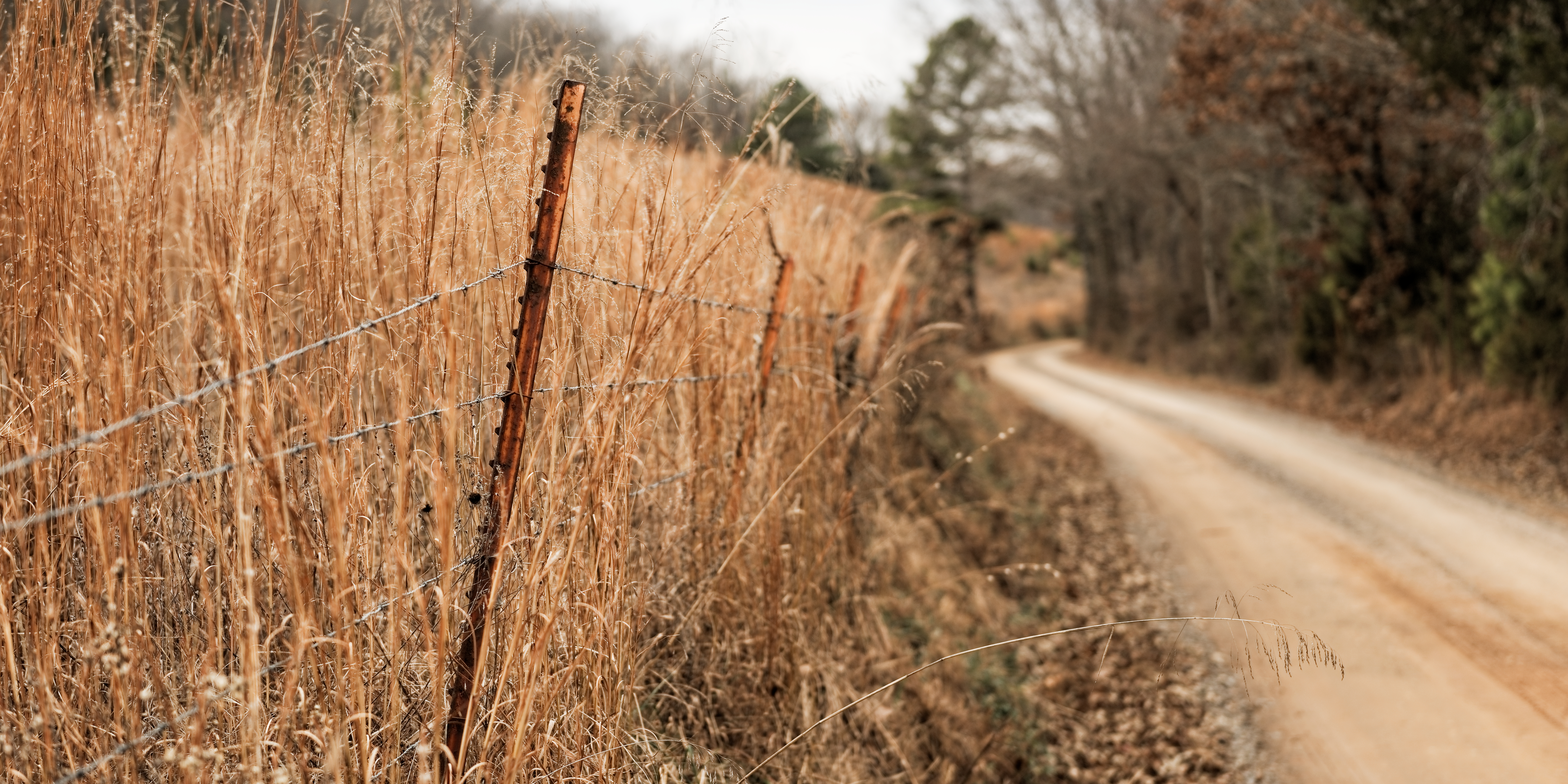
Ferguson Mountain Road

#mom2monkeysphotography #fishbreakfast #eatingbugs #park #pondlife #pretty #beautiful #breakfast #morning #cabot #canon30d #naturehippy #arkansas #explore #fun #instanaturefriends #notquitefull #simplebeauty #summerbeauty #wild #water

Bull Creek Bridge Remnants
Topographic Map of Union Township, AR, USA
Find elevation by address:

Places in Union Township, AR, USA:
Places near Union Township, AR, USA:
Beebe
505 N Apple St
2681 Hwy 31
Robert Young Rd, Ward, AR, USA
2102 Aaron Rd
Davidson Rd, Beebe, AR, USA
Chrisp Township
State Hwy, Beebe, AR, USA
Cypress Lane
Mcrae Township
Ward
Hattie Ln, Ward, AR, USA
Mcrae
200 Old Schoolhouse Rd
Sweetwater Dr, Ward, AR, USA
729 Lebanon Rd
Antioch Township
Austin
Caroline Township
E Main St, Austin, AR, USA
Recent Searches:
- Elevation of Slanický ostrov, 01 Námestovo, Slovakia
- Elevation of Spaceport America, Co Rd A, Truth or Consequences, NM, USA
- Elevation of Warwick, RI, USA
- Elevation of Fern Rd, Whitmore, CA, USA
- Elevation of 62 Abbey St, Marshfield, MA, USA
- Elevation of Fernwood, Bradenton, FL, USA
- Elevation of Felindre, Swansea SA5 7LU, UK
- Elevation of Leyte Industrial Development Estate, Isabel, Leyte, Philippines
- Elevation of W Granada St, Tampa, FL, USA
- Elevation of Pykes Down, Ivybridge PL21 0BY, UK