Elevation of Cypress Lane, Cypress Ln, Union Township, AR, USA
Location: United States > Arkansas > White County > Union Township > Beebe >
Longitude: -91.810956
Latitude: 35.0431838
Elevation: 62m / 203feet
Barometric Pressure: 101KPa
Elevation Map:
Satellite Map:
Related Photos:
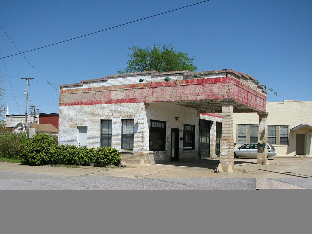
Beebe Esso II
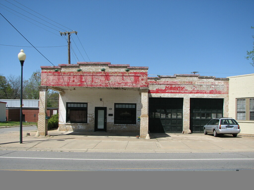
Beebe Esso I

Meet The Flockers
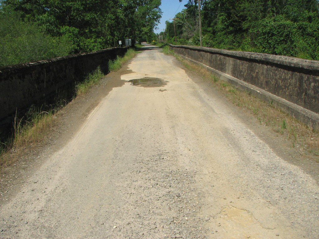
Bull Creek Relief (East)-Side View
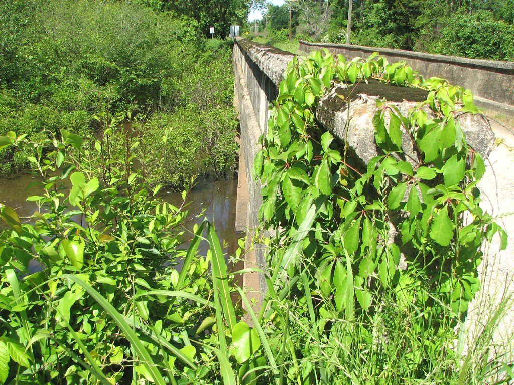
Bull Creek Relief (East)-Deck View

(365)96-The sky after a storm.

Winter Photos
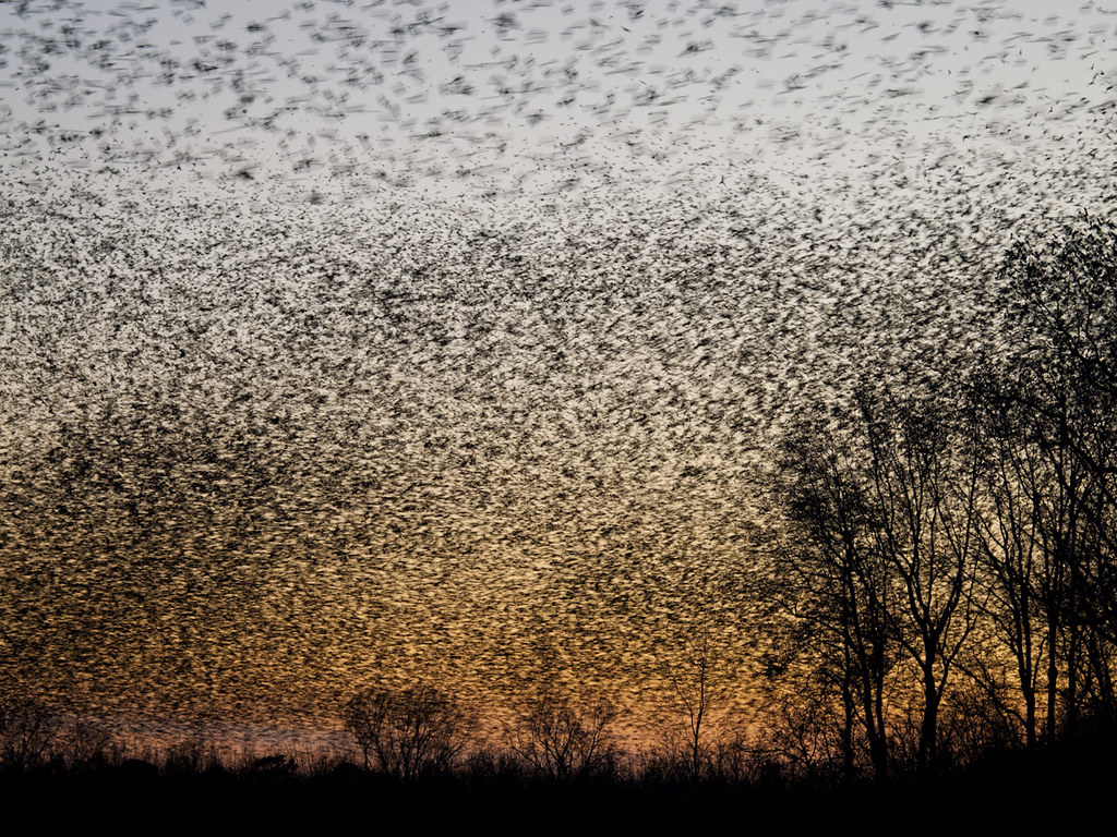
A bunch of birds over Beebe

Bull Creek Bridge Remnants

NS ES44AC 8168

NS SD70ACe 1116

Snowy Rolling Meet Part 1

Snowy Rolling Meet Part 2

UP SD70ACe 8324

UP AC45AH 2563

Crossing Over

UP AC45CCTE 8045

UP ET44AH 2610

UP SD70M 5116

Happy clients

UP SD70AH 8828

UP ET44AH 2639

UP ET44AH 2691

Western Pacific
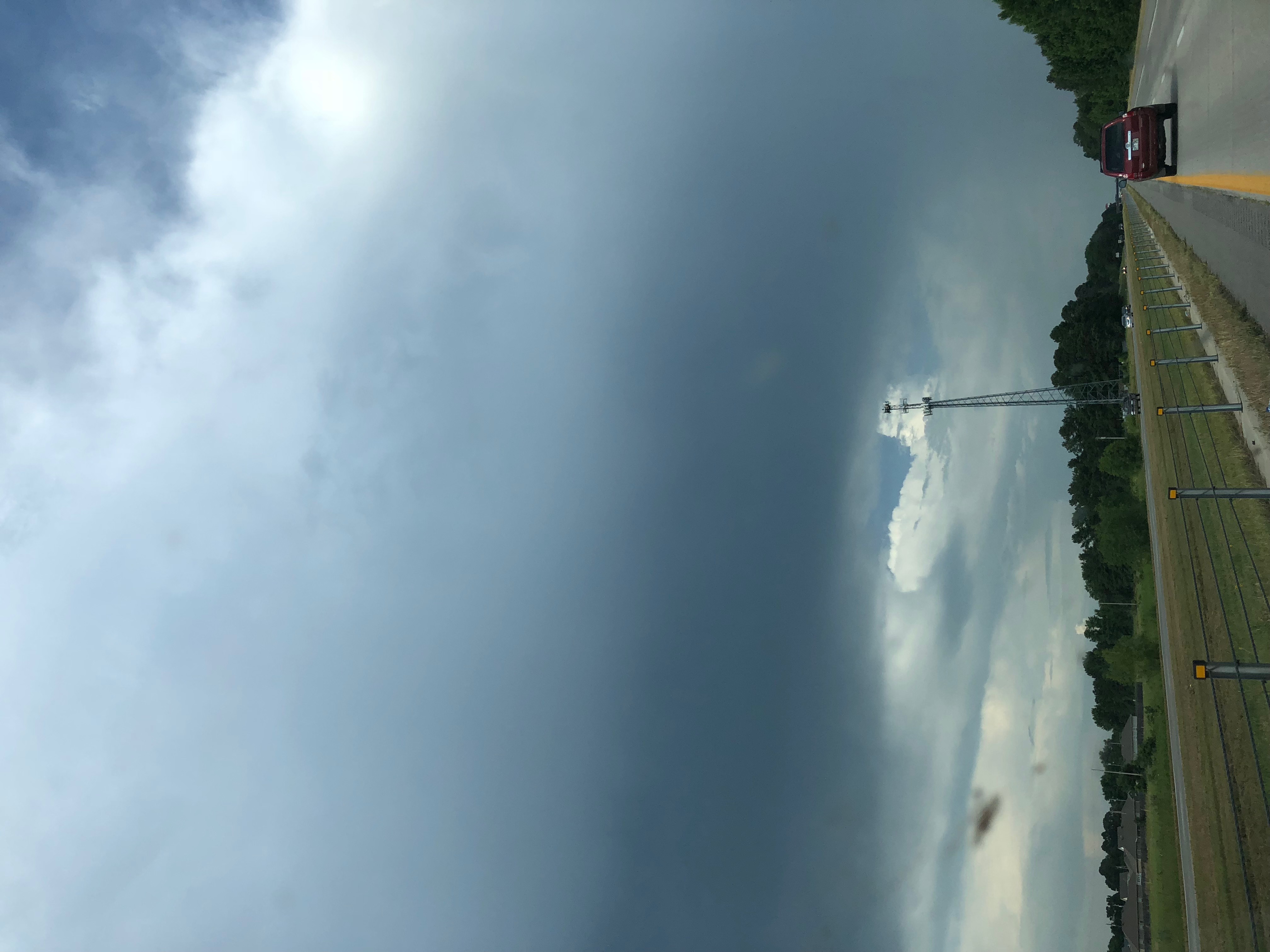
Strange Cloud

UP AC4460CW 7331

UP SD70AH 8888

UP SD70ACe-T4 3044

UP SD70ACe-T4 3044

UP SD70ACe-T4 3044
Topographic Map of Cypress Lane, Cypress Ln, Union Township, AR, USA
Find elevation by address:

Places near Cypress Lane, Cypress Ln, Union Township, AR, USA:
Hattie Ln, Ward, AR, USA
729 Lebanon Rd
Mcrae Township
Robert Young Rd, Ward, AR, USA
Mcrae
Union Township
505 N Apple St
Beebe
2681 Hwy 31
Garner Township
Chrisp Township
State Hwy, Beebe, AR, USA
2102 Aaron Rd
Davidson Rd, Beebe, AR, USA
Ward
200 Old Schoolhouse Rd
Sweetwater Dr, Ward, AR, USA
Antioch Township
Caroline Township
Austin
Recent Searches:
- Elevation of Elwyn Dr, Roanoke Rapids, NC, USA
- Elevation of Congressional Dr, Stevensville, MD, USA
- Elevation of Bellview Rd, McLean, VA, USA
- Elevation of Stage Island Rd, Chatham, MA, USA
- Elevation of Shibuya Scramble Crossing, 21 Udagawacho, Shibuya City, Tokyo -, Japan
- Elevation of Jadagoniai, Kaunas District Municipality, Lithuania
- Elevation of Pagonija rock, Kranto 7-oji g. 8"N, Kaunas, Lithuania
- Elevation of Co Rd 87, Jamestown, CO, USA
- Elevation of Tenjo, Cundinamarca, Colombia
- Elevation of Côte-des-Neiges, Montreal, QC H4A 3J6, Canada