Elevation of Garner Township, AR, USA
Location: United States > Arkansas > White County >
Longitude: -91.763618
Latitude: 35.1251031
Elevation: 65m / 213feet
Barometric Pressure: 101KPa
Elevation Map:
Satellite Map:
Related Photos:

All five kids at school. My view for the day. Can't you hear the quiet!!! 3/365
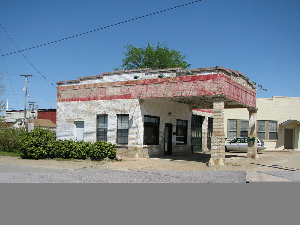
Beebe Esso II
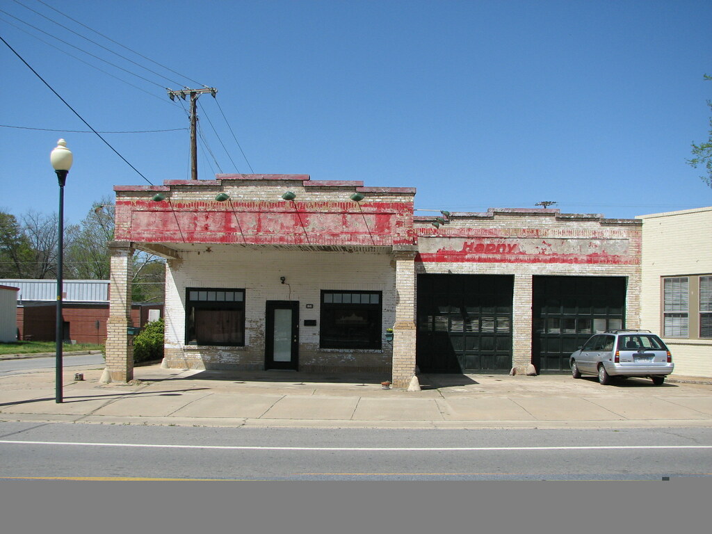
Beebe Esso I
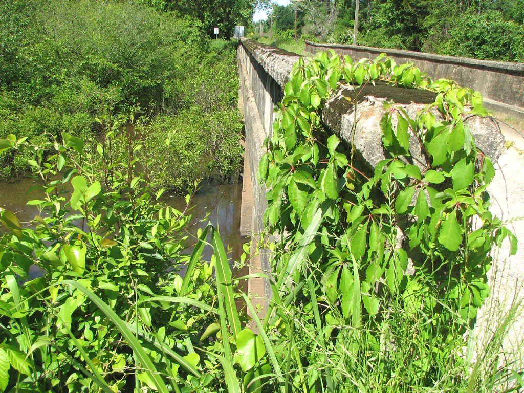
Bull Creek Relief (East)-Side View
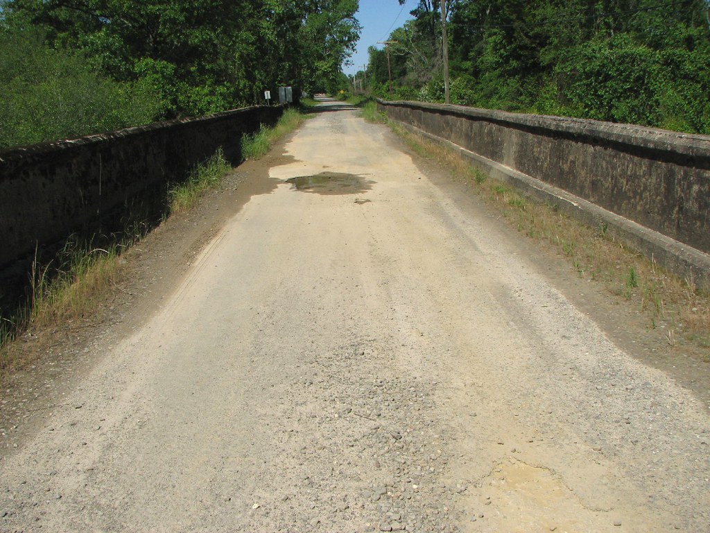
Bull Creek Relief (East)-Deck View

Meet The Flockers
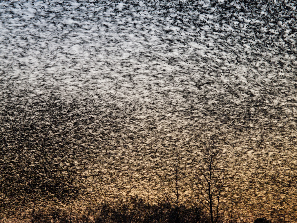
Birds of a feather...
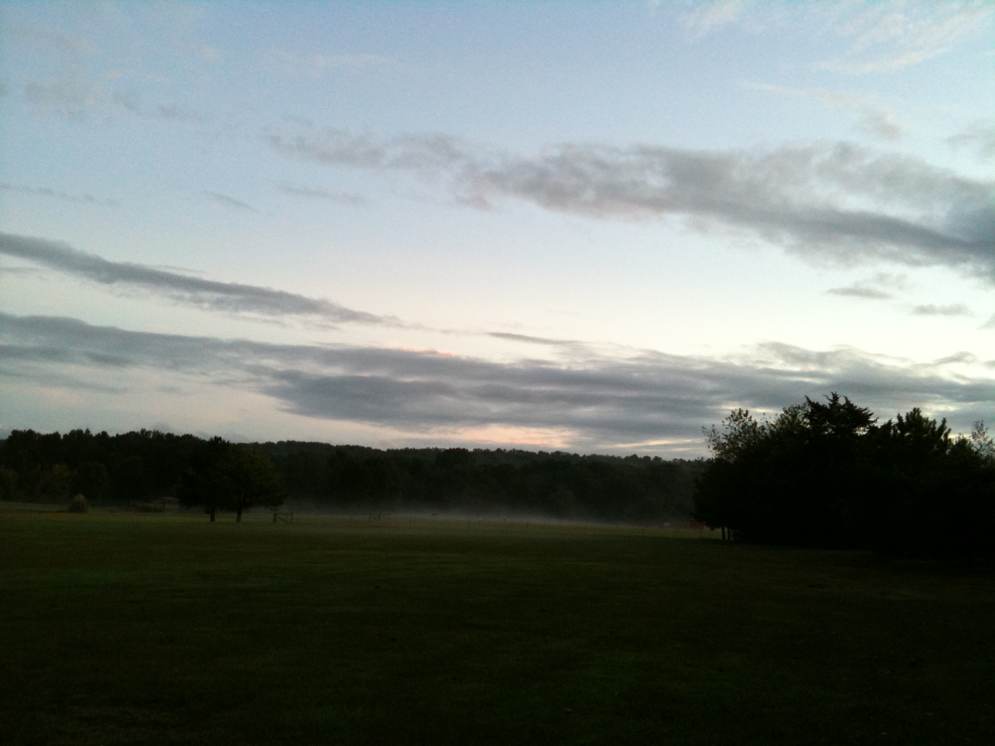
The view behind Boomers
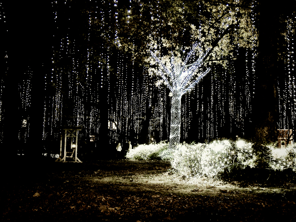
Happy Christmas (War is Over)
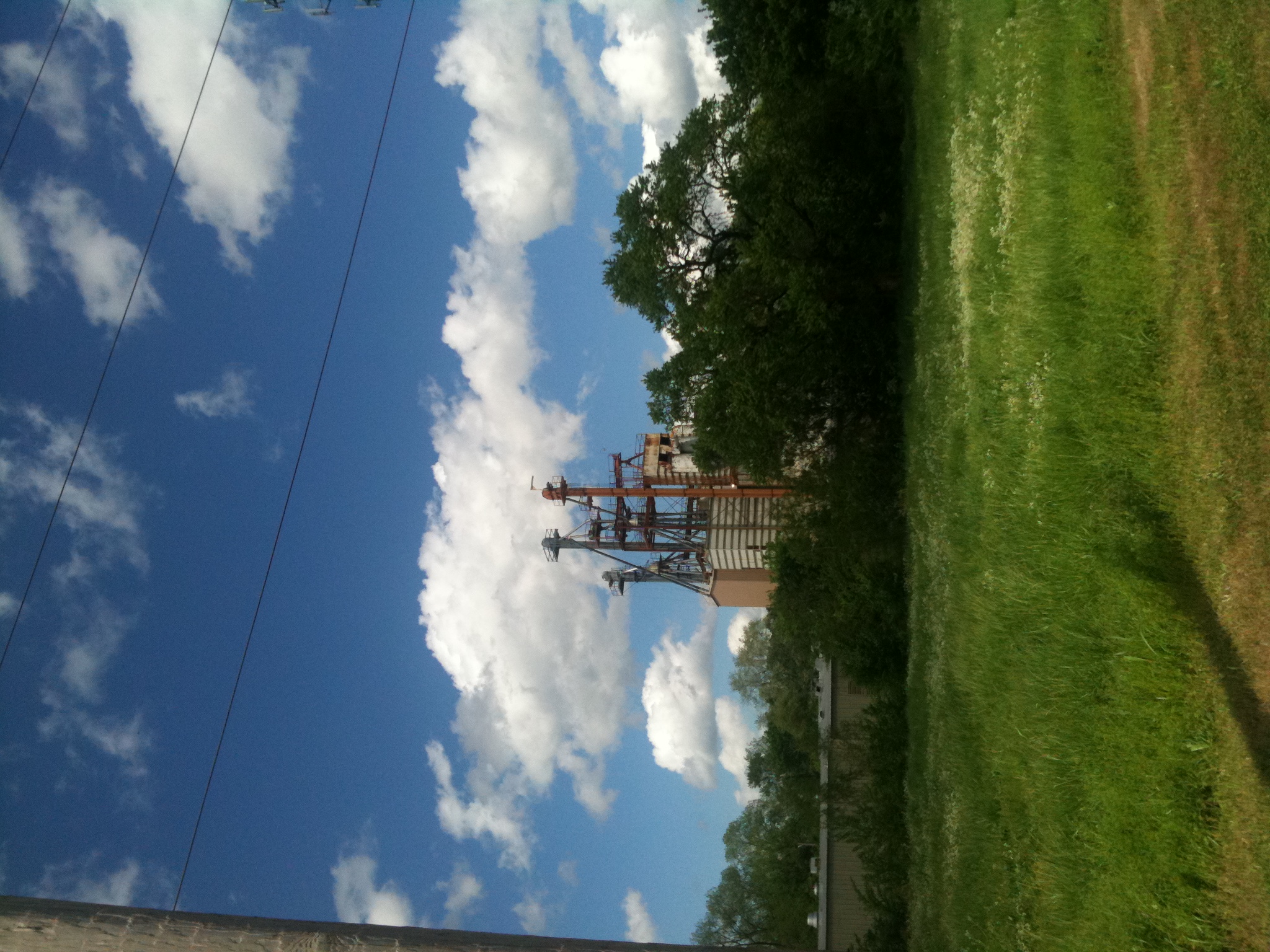
Old Feed Factory
2012-12-26 at 17-56-38

Newport Local

UP GP60s 1130 & 1118

Bull Creek Bridge Remnants

Winter Photos
A bunch of birds over Beebe
Topographic Map of Garner Township, AR, USA
Find elevation by address:

Places in Garner Township, AR, USA:
Places near Garner Township, AR, USA:
729 Lebanon Rd
Mcrae
Mcrae Township
Cypress Lane
Chrisp Township
505 N Apple St
Hattie Ln, Ward, AR, USA
State Hwy, Beebe, AR, USA
2681 Hwy 31
Beebe
Union Township
200 Old Schoolhouse Rd
Robert Young Rd, Ward, AR, USA
2102 Aaron Rd
Antioch Township
Davidson Rd, Beebe, AR, USA
Ward
Sweetwater Dr, Ward, AR, USA
30 Sally Haymes Rd, Austin, AR, USA
Caroline Township
Recent Searches:
- Elevation of 3 Nestling Wood Dr, Long Valley, NJ, USA
- Elevation of Ilungu, Tanzania
- Elevation of Yellow Springs Road, Yellow Springs Rd, Chester Springs, PA, USA
- Elevation of Rēzekne Municipality, Latvia
- Elevation of Plikpūrmaļi, Vērēmi Parish, Rēzekne Municipality, LV-, Latvia
- Elevation of 2 Henschke Ct, Caboolture QLD, Australia
- Elevation of Redondo Ave, Long Beach, CA, USA
- Elevation of Sadovaya Ulitsa, 20, Rezh, Sverdlovskaya oblast', Russia
- Elevation of Ulitsa Kalinina, 79, Rezh, Sverdlovskaya oblast', Russia
- Elevation of 72-31 Metropolitan Ave, Middle Village, NY, USA