Elevation of Rogers Rd, Searcy, AR, USA
Location: United States > Arkansas > White County > Garner Township >
Longitude: -91.745437
Latitude: 35.075348
Elevation: 66m / 217feet
Barometric Pressure: 101KPa
Elevation Map:
Satellite Map:
Related Photos:

Meet The Flockers
Birds of a feather...
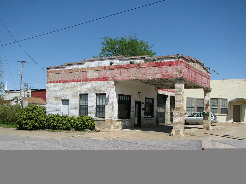
Beebe Esso II
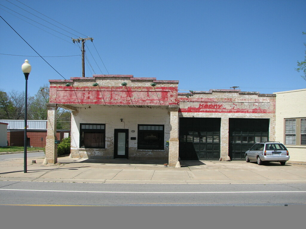
Beebe Esso I
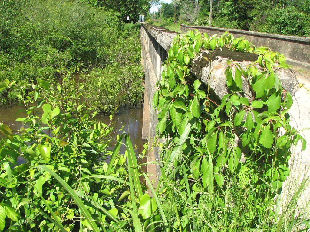
Bull Creek Relief (East)-Side View
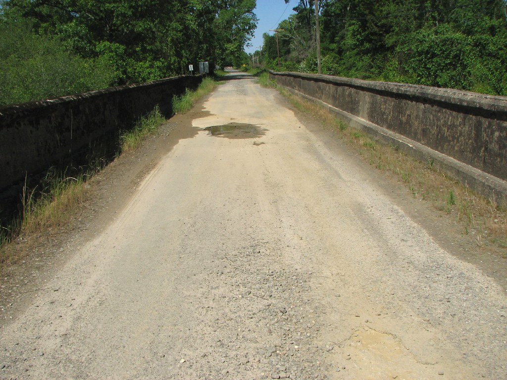
Bull Creek Relief (East)-Deck View

Winter Photos
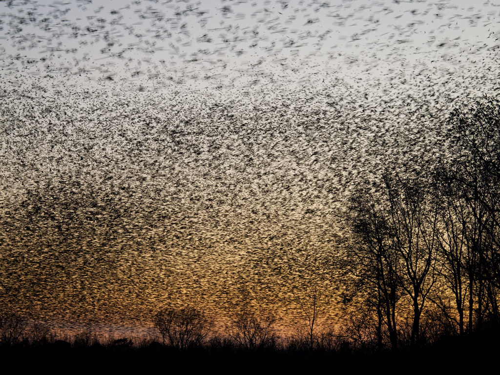
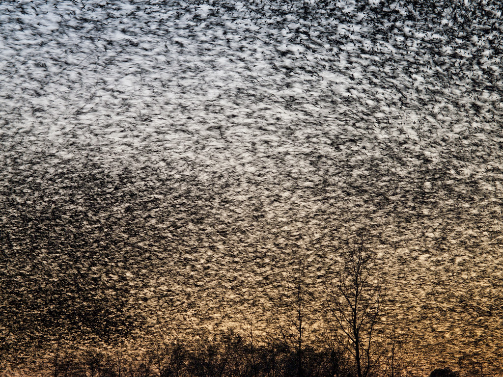
A bunch of birds over Beebe

Bull Creek Bridge Remnants
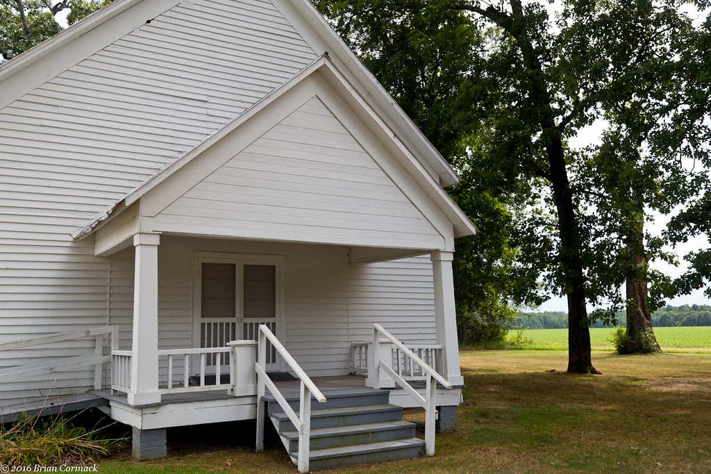
Johnson Chapel
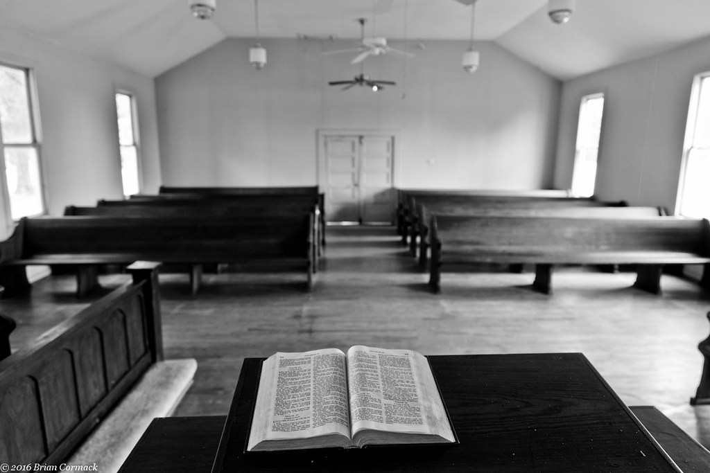
Johnson Chapel
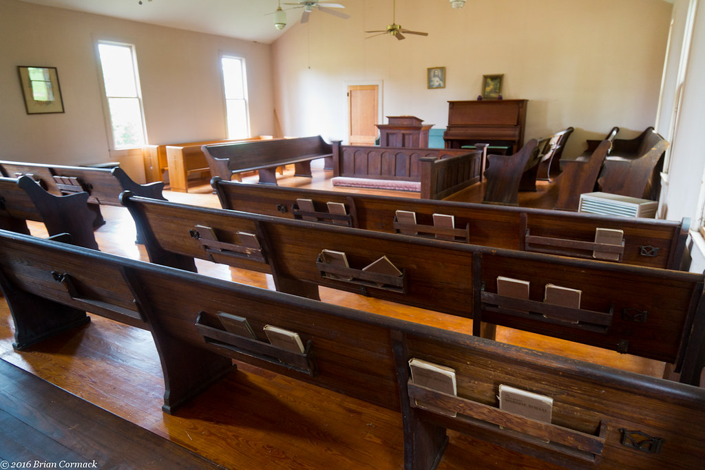
Johnson Chapel
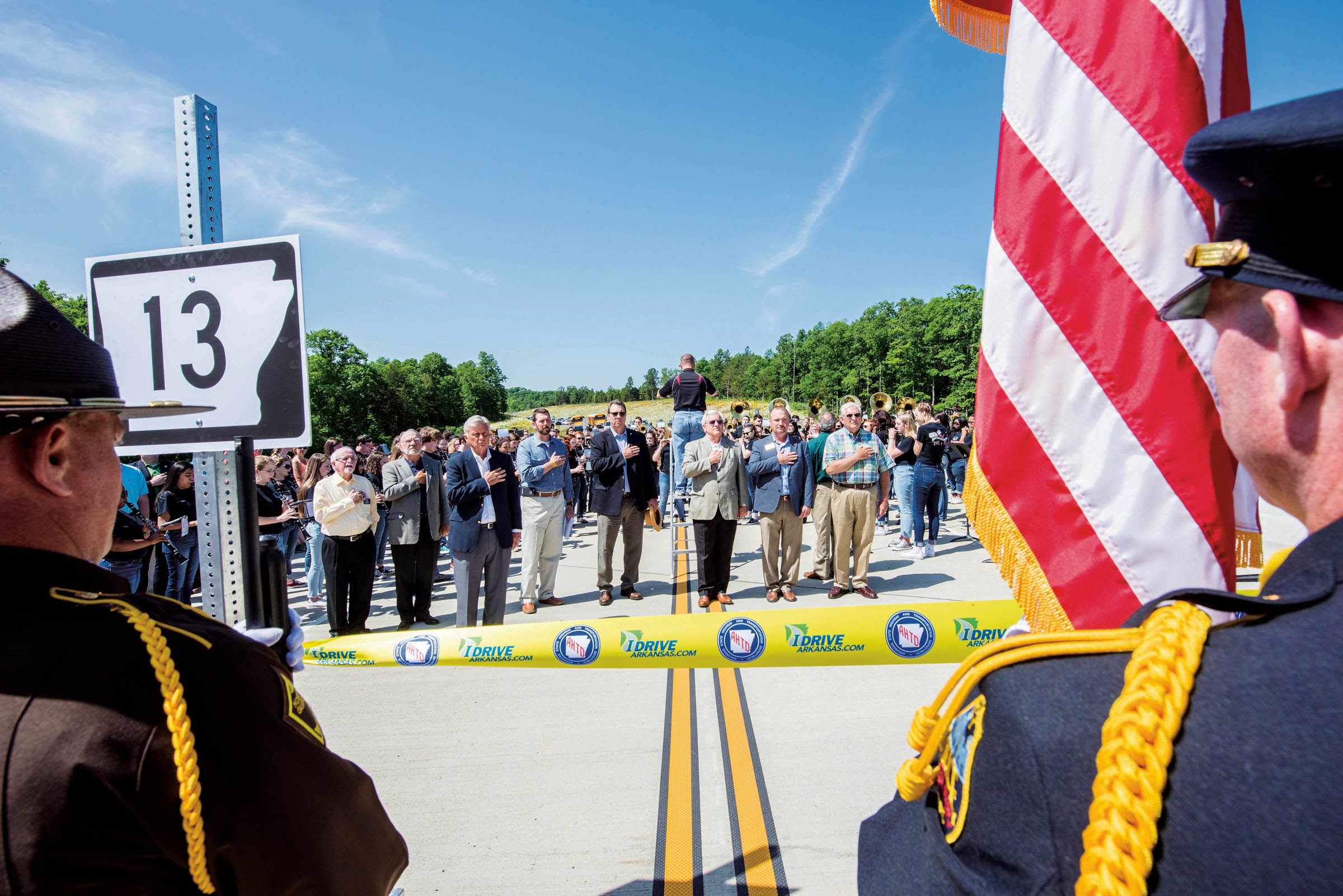
Hwy. 13 extension ribbon cutting ceremony
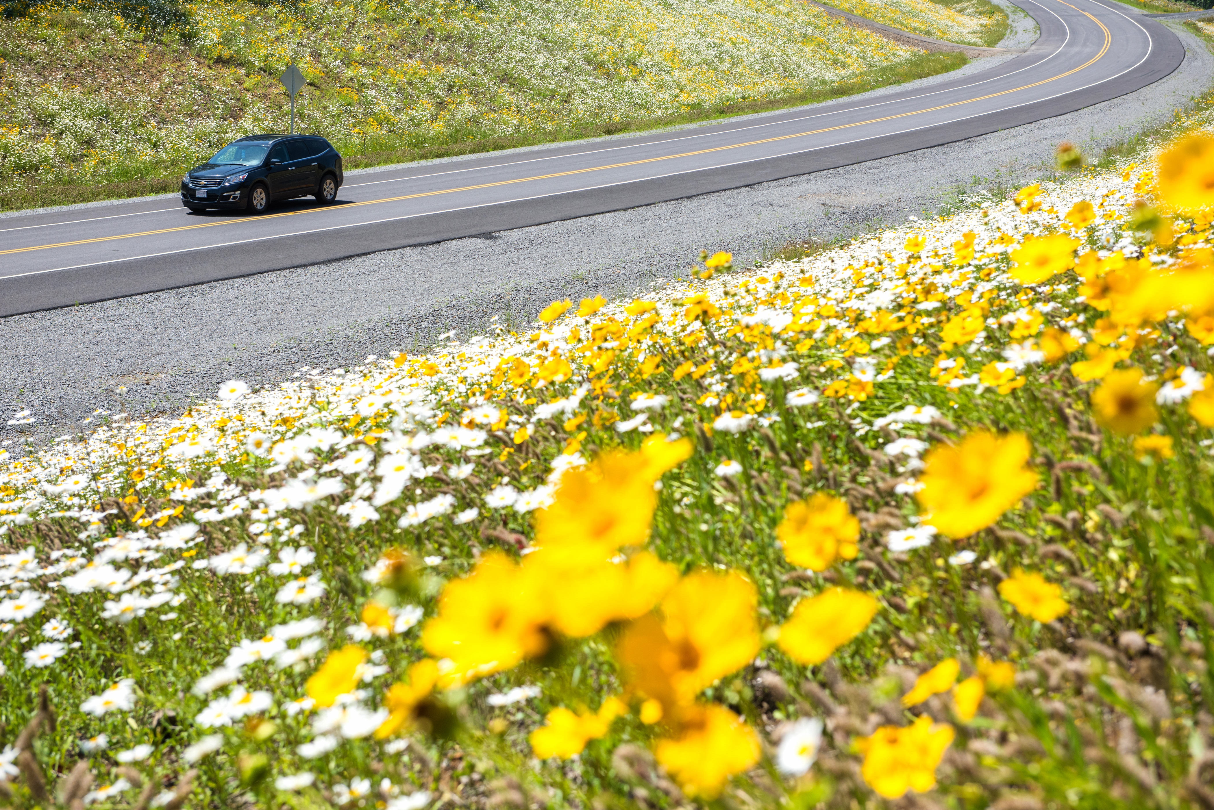
New section of Hwy. 13
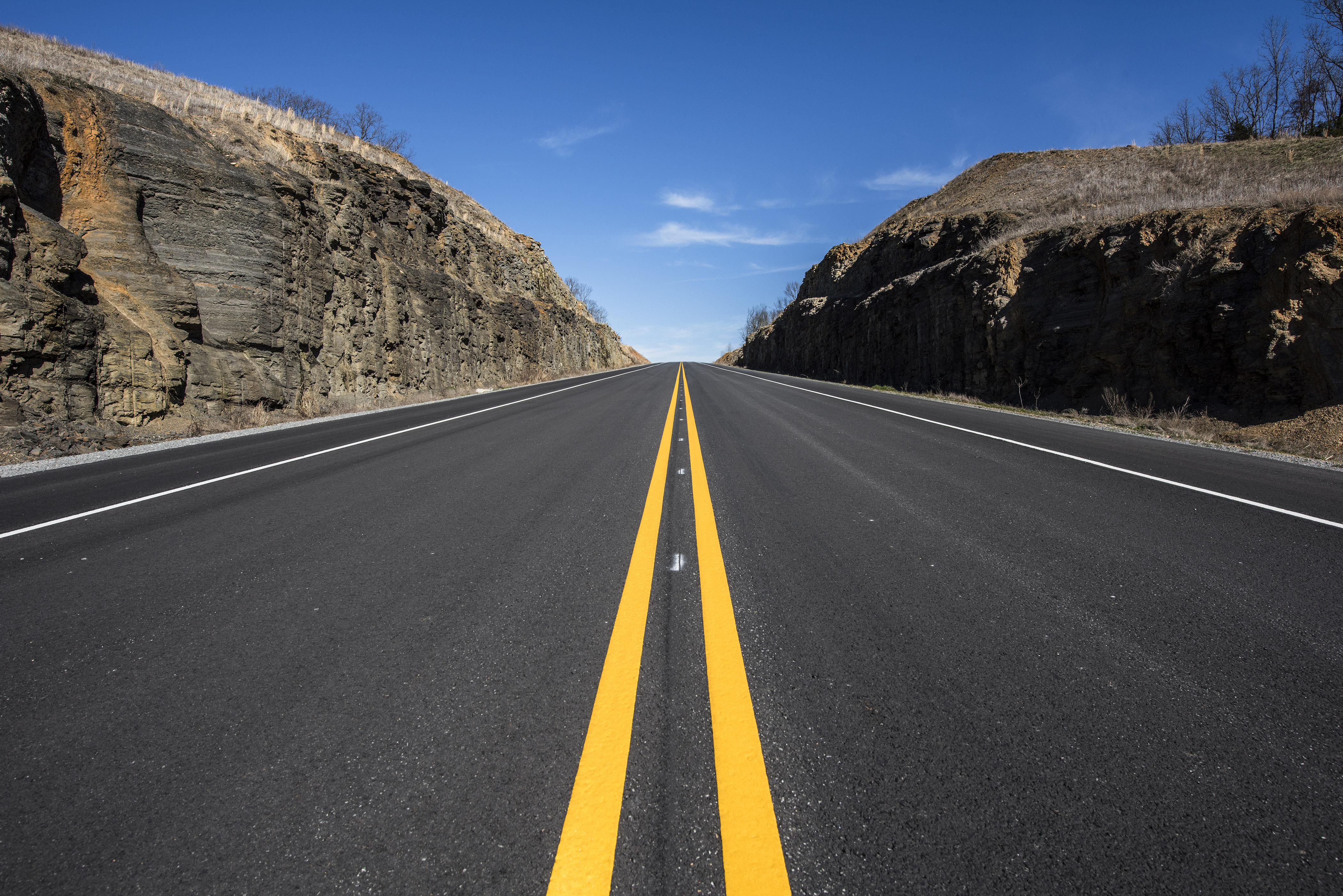
Highway 13 in White Co.

UP GP40M-2 1369
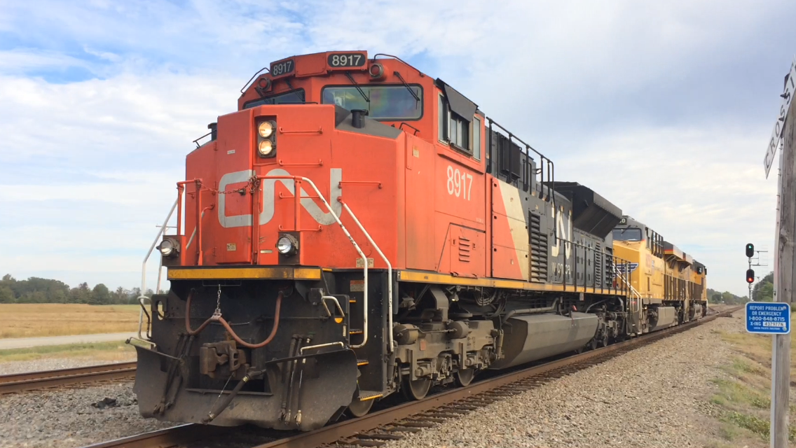
CN SD70M-2 8917
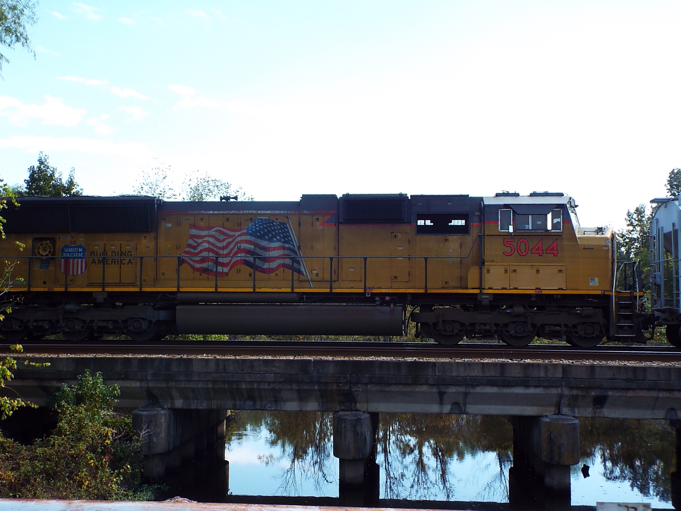
UP SD70M 5044
Grand Trunk Western

Missouri Pacific
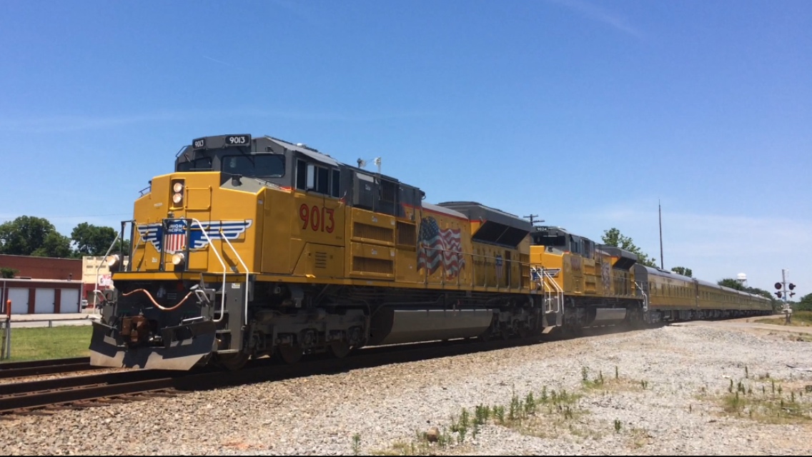
UP SD70AH 9013

UP AC45CCTE 5514
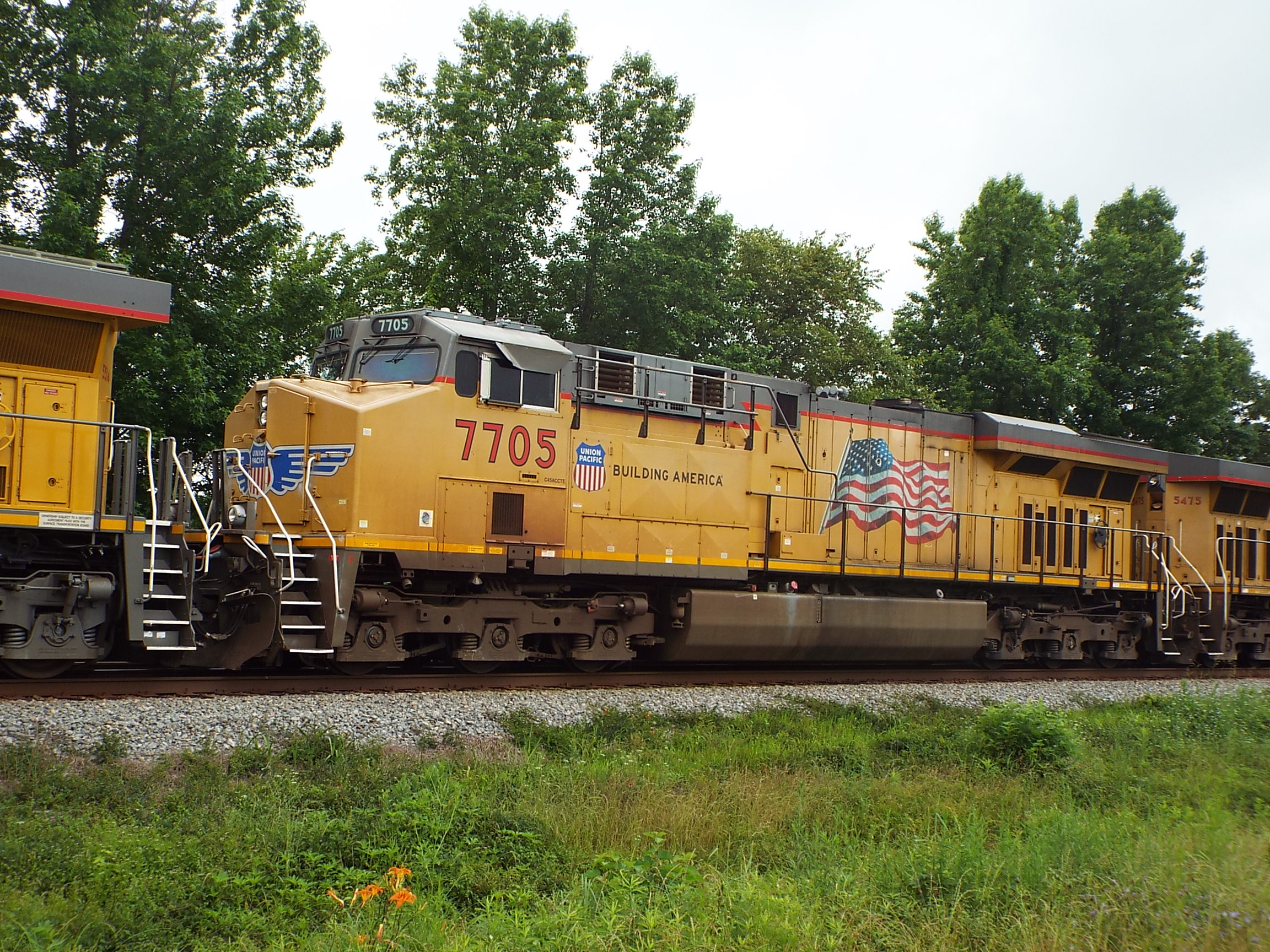
UP AC45CCTE 7705
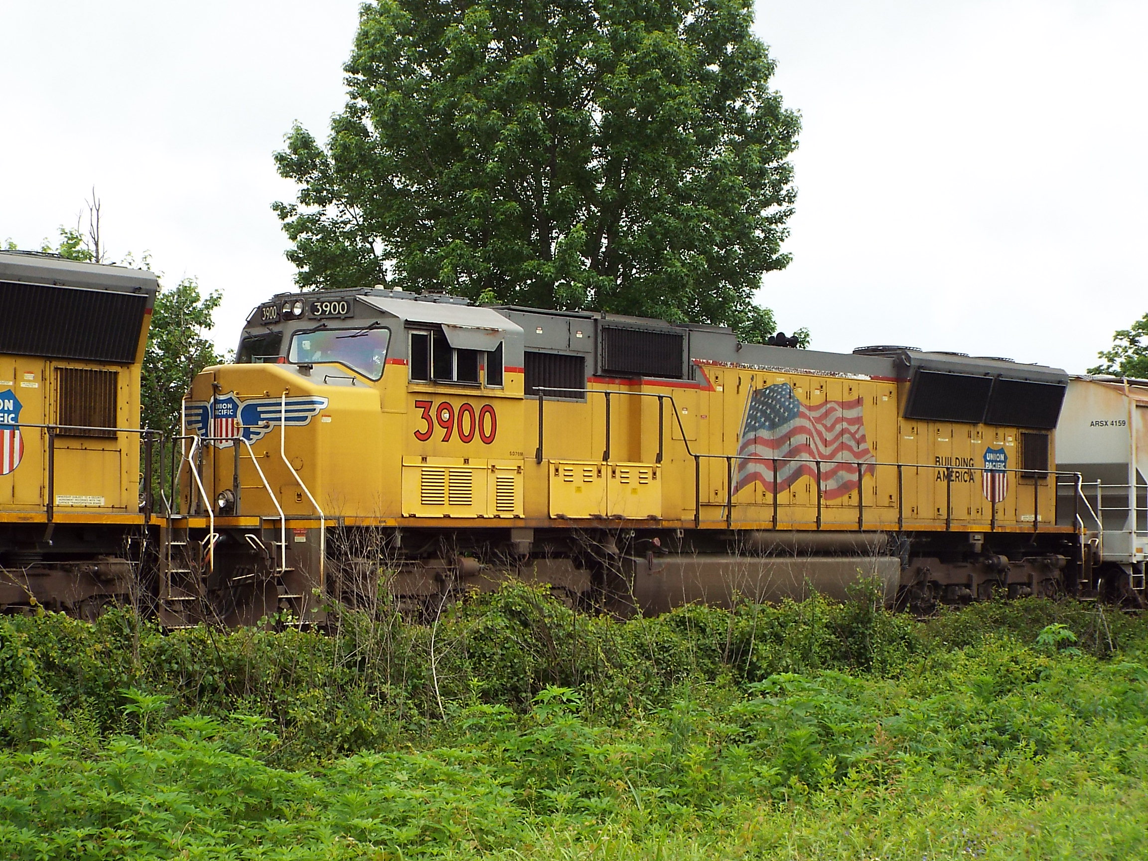
UP SD70M 3900
Low Green?
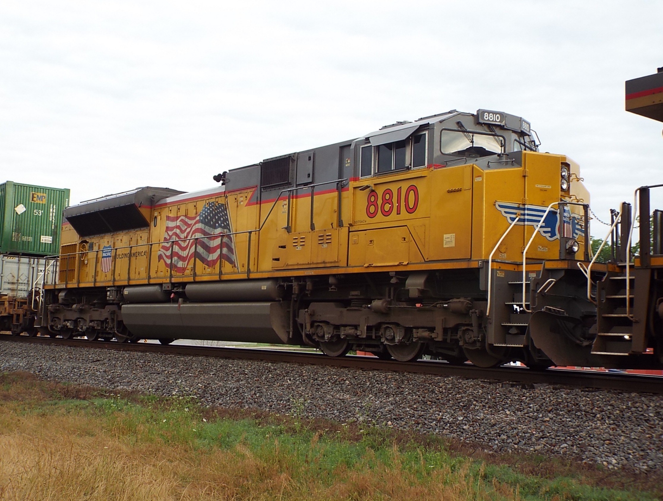
UP SD70ACe 8810
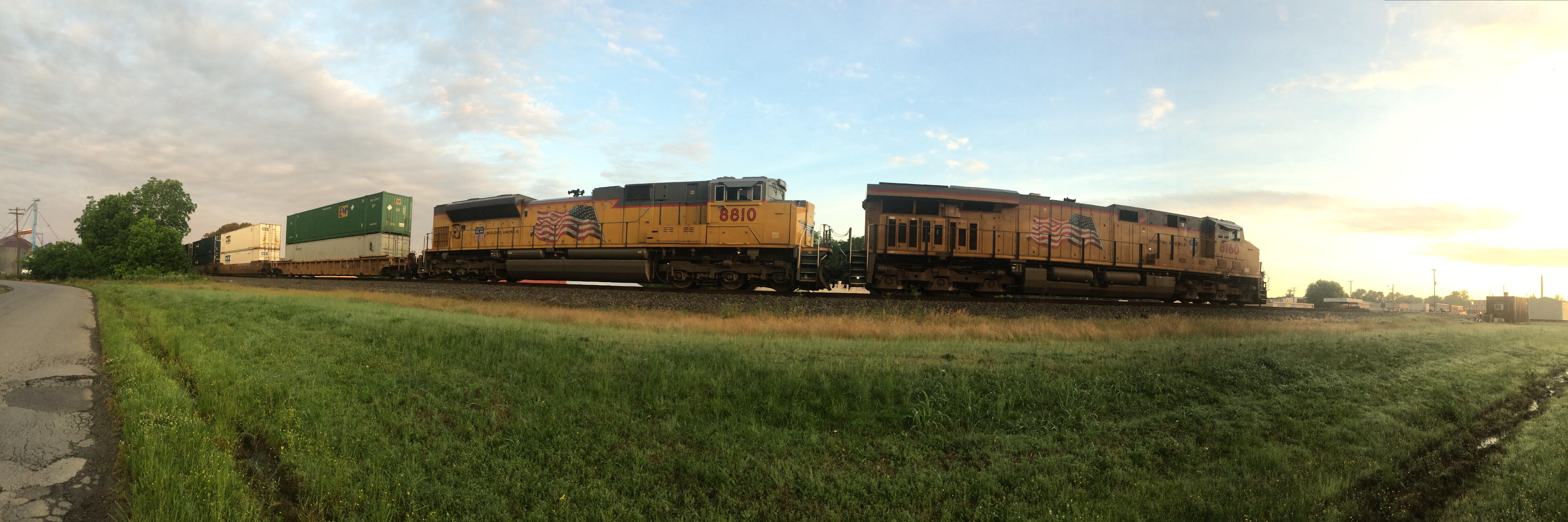
UP 8160 and 8810 Pano!
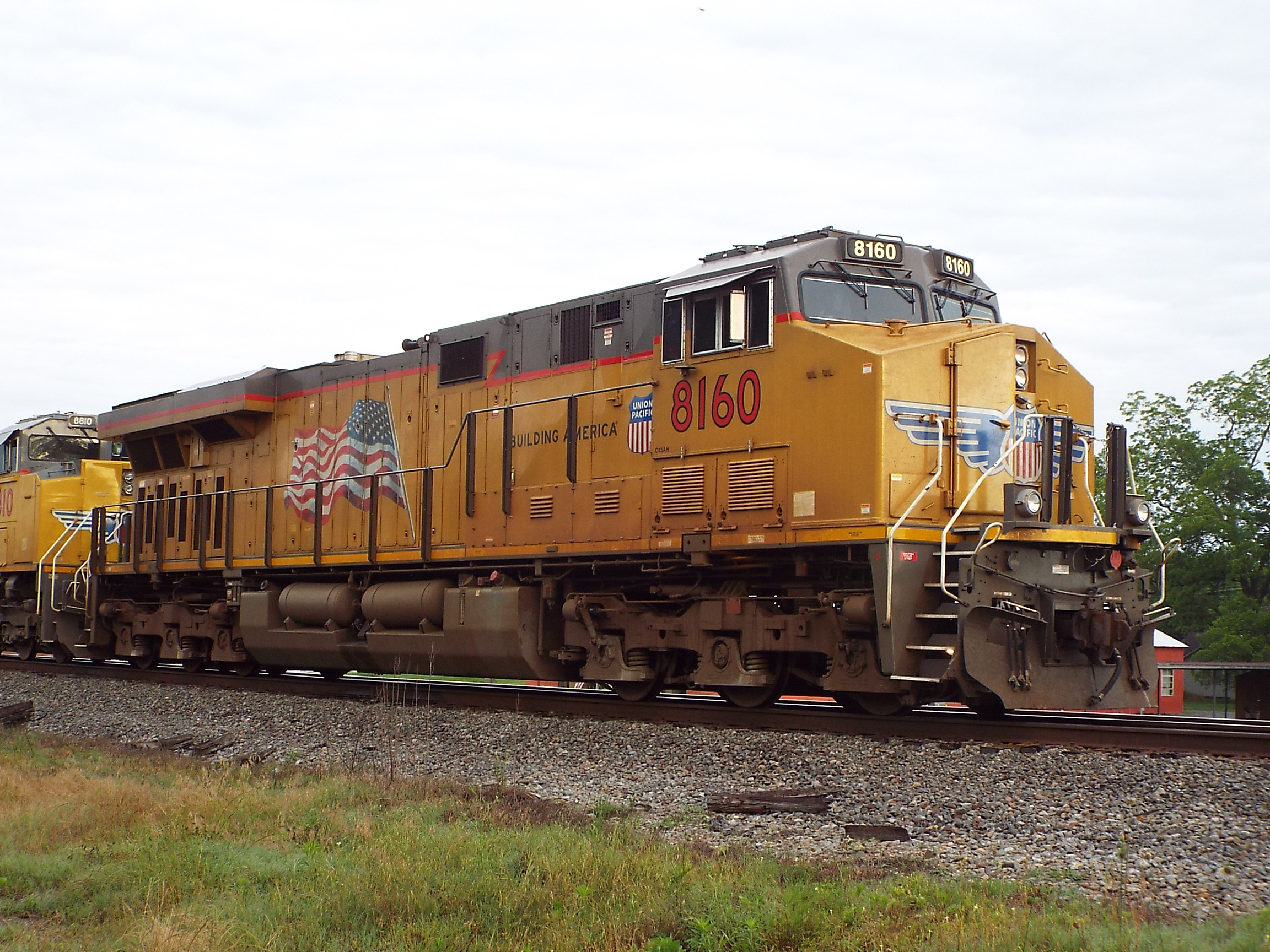
UP AC45AH 8160

Highway 13 extension ribbon cutting ceremony
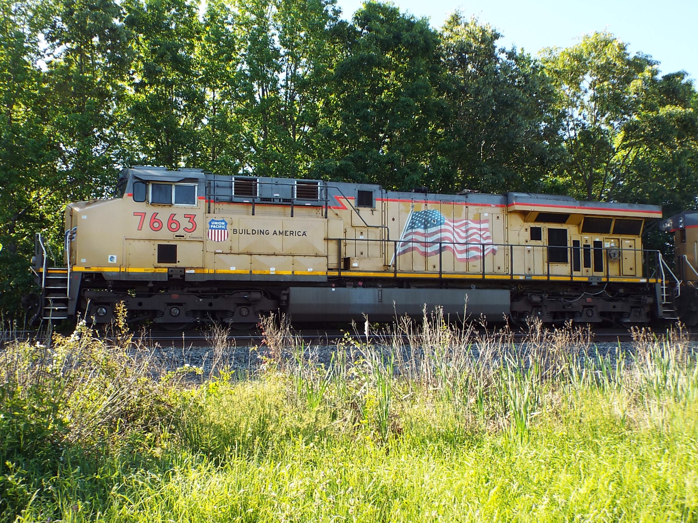
UP AC45CCTE 7663
Topographic Map of Rogers Rd, Searcy, AR, USA
Find elevation by address:

Places near Rogers Rd, Searcy, AR, USA:
729 Lebanon Rd
Garner Township
Walker Township
Hickory Plain Township
Lewis Ln, Searcy, AR, USA
Cypress Lane
Mcrae Township
Mcrae
AR-38, Des Arc, AR, USA
Hattie Ln, Ward, AR, USA
Parson Ln, Searcy, AR, USA
Griffithville
AR-, Griffithville, AR, USA
505 N Apple St
Dogwood Township
AR-38, Ward, AR, USA
Beebe
Robert Young Rd, Ward, AR, USA
Union Township
2681 Hwy 31
Recent Searches:
- Elevation of Pinewood Dr, New Bern, NC, USA
- Elevation of Mountain View, CA, USA
- Elevation of Foligno, Province of Perugia, Italy
- Elevation of Blauwestad, Netherlands
- Elevation of Bella Terra Blvd, Estero, FL, USA
- Elevation of Estates Loop, Priest River, ID, USA
- Elevation of Woodland Oak Pl, Thousand Oaks, CA, USA
- Elevation of Brownsdale Rd, Renfrew, PA, USA
- Elevation of Corcoran Ln, Suffolk, VA, USA
- Elevation of Mamala II, Sariaya, Quezon, Philippines