Elevation of Lewis Ln, Searcy, AR, USA
Location: United States > Arkansas > White County > Walker Township >
Longitude: -91.691594
Latitude: 35.123333
Elevation: 59m / 194feet
Barometric Pressure: 101KPa
Elevation Map:
Satellite Map:
Related Photos:
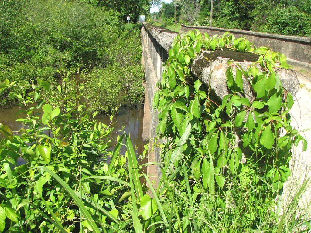
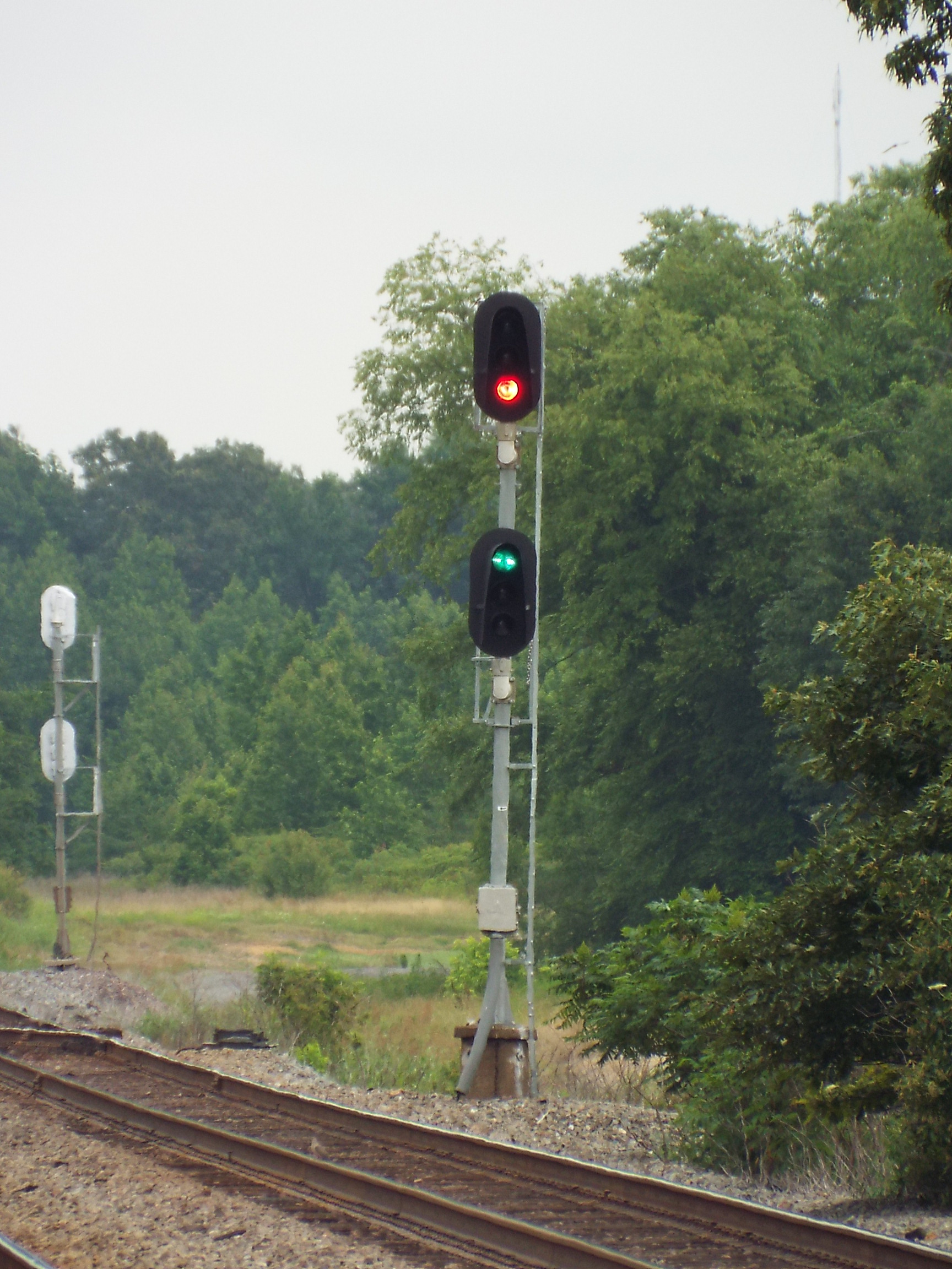
Bull Creek Relief (East)-Side View
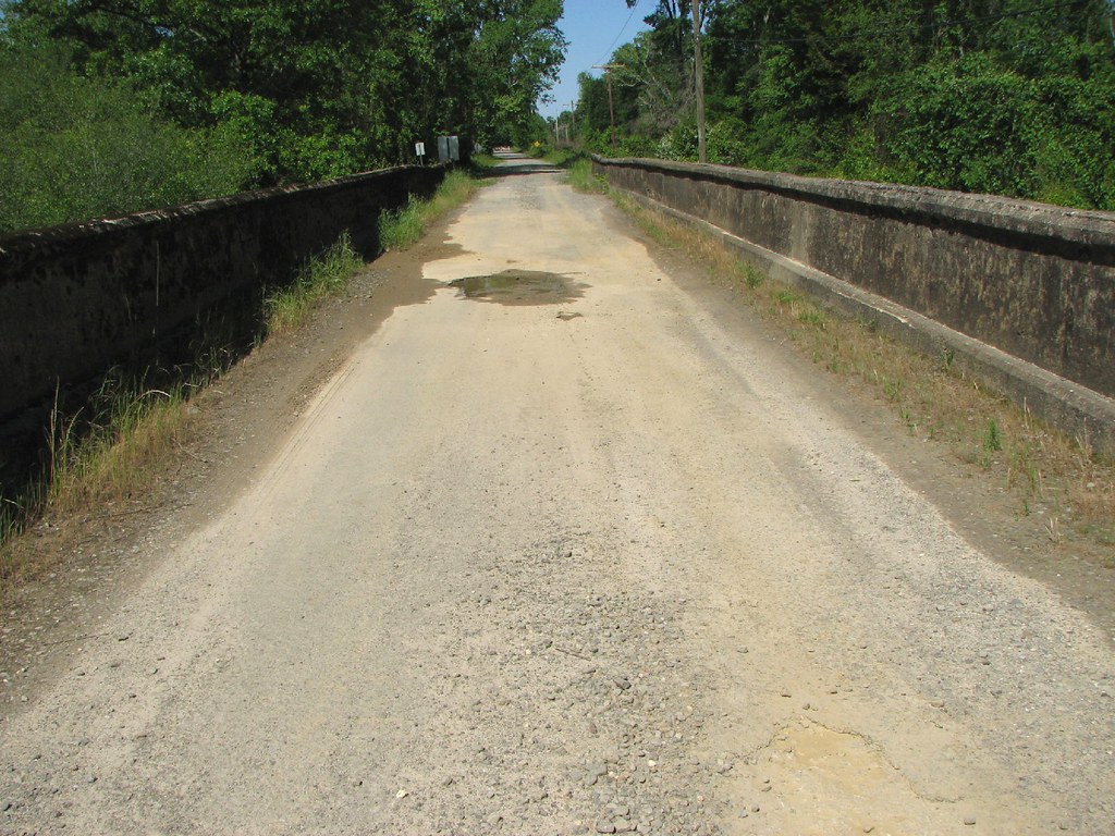
Bull Creek Relief (East)-Deck View
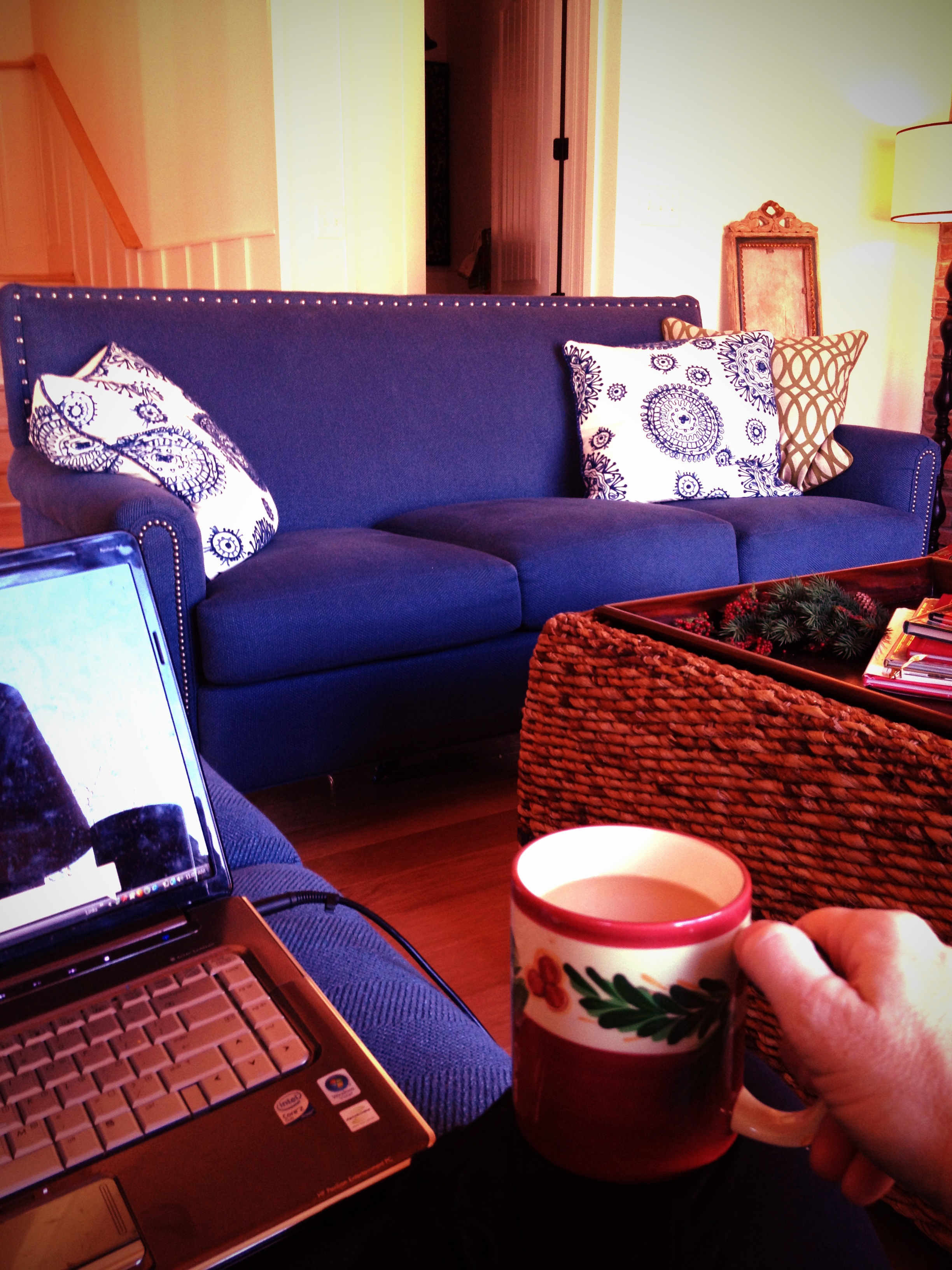
All five kids at school. My view for the day. Can't you hear the quiet!!! 3/365

Newport Local

UP GP60s 1130 & 1118

Bull Creek Bridge Remnants
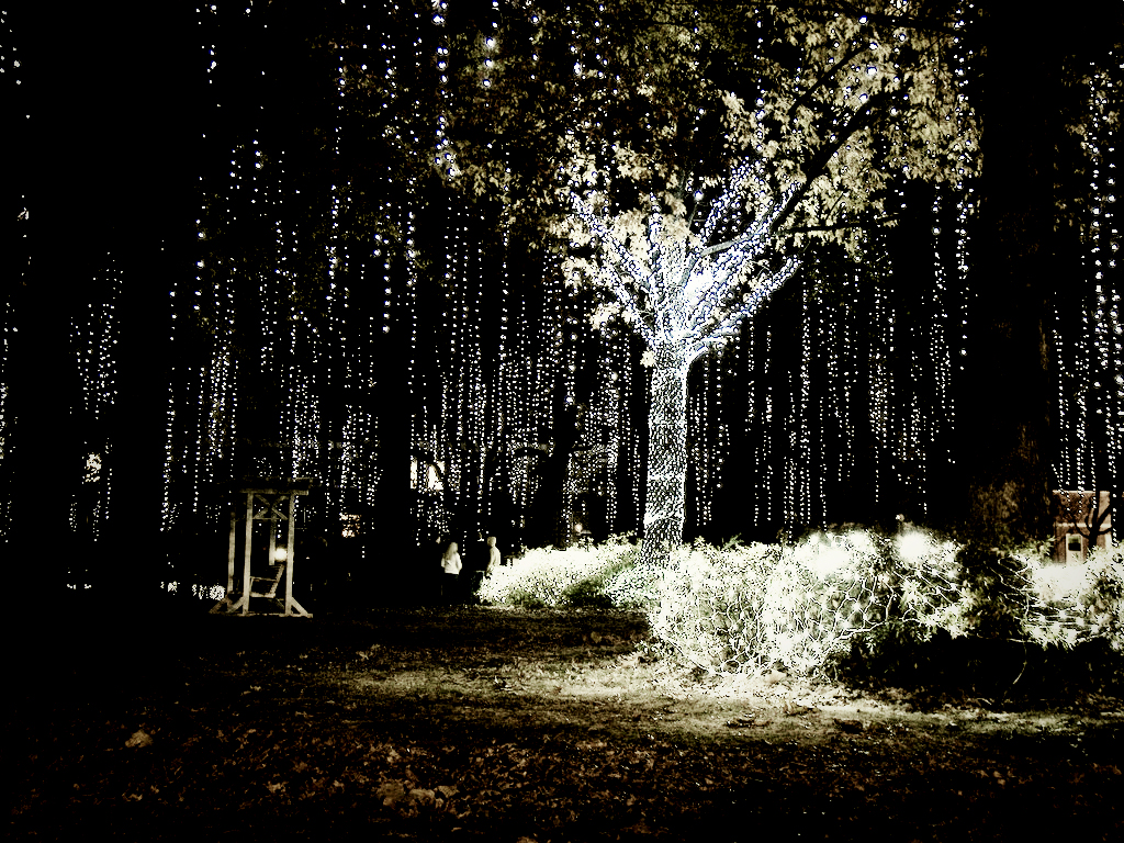
Happy Christmas (War is Over)
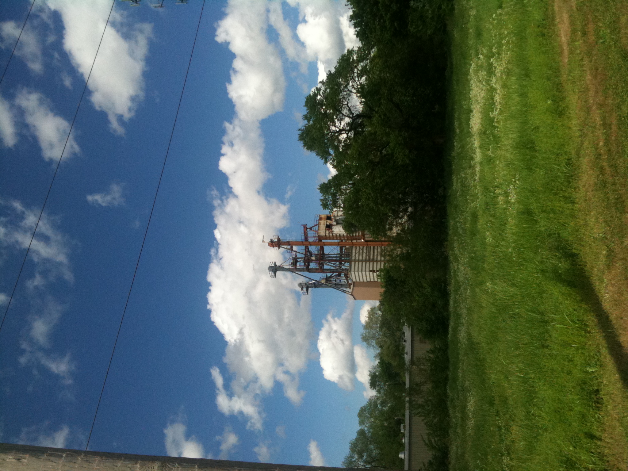
Old Feed Factory
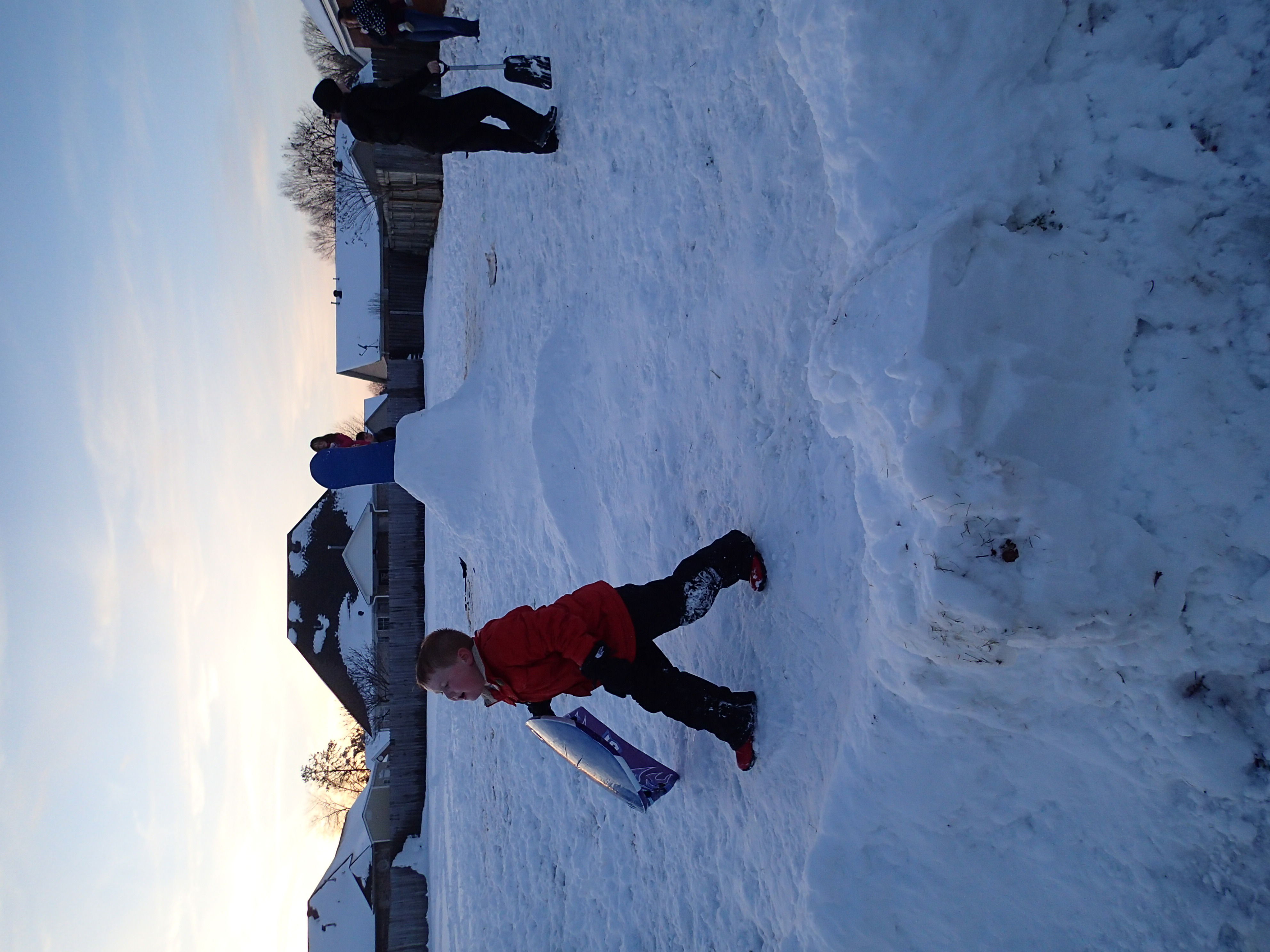
2012-12-26 at 17-56-38
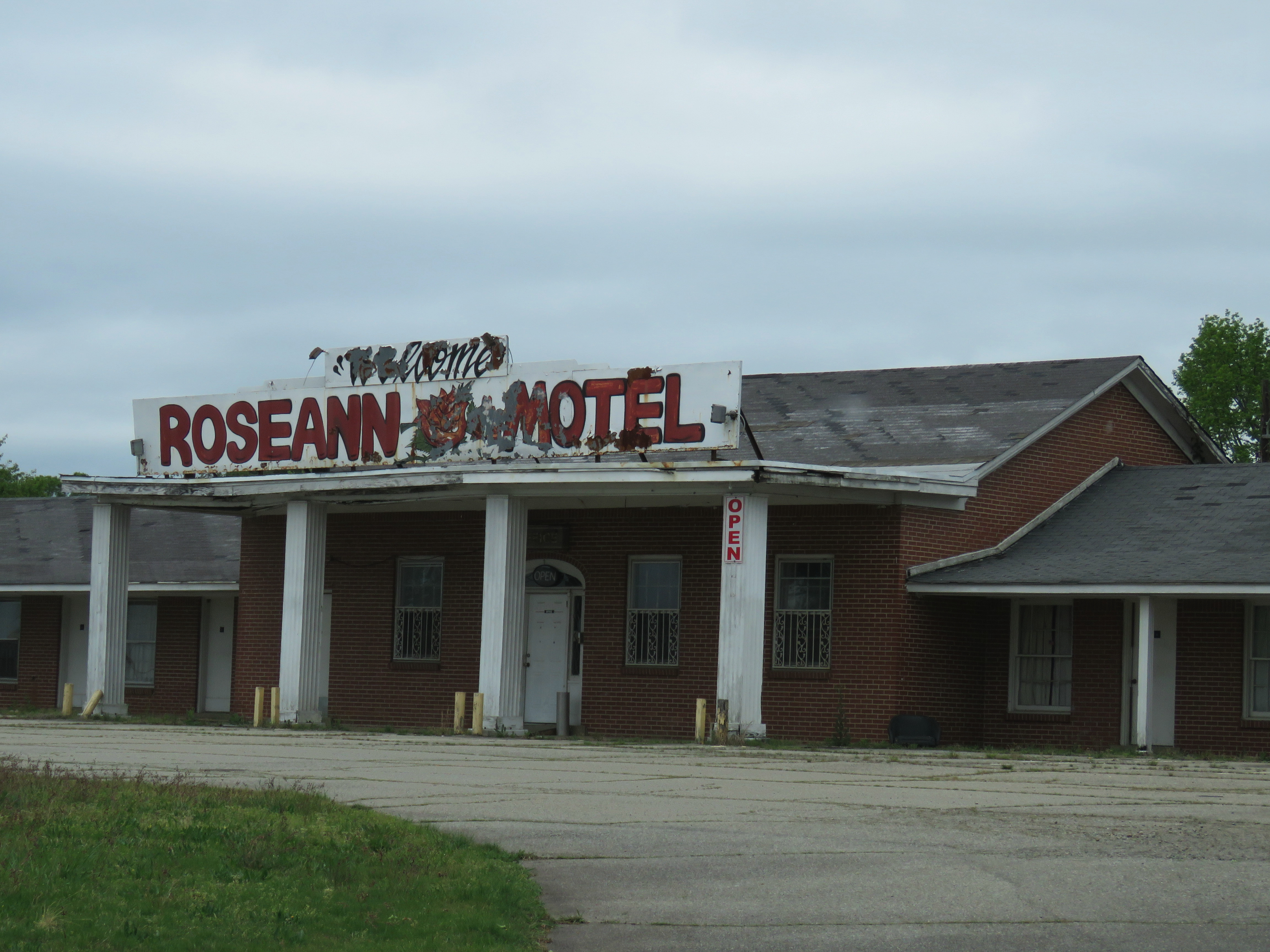
Roseann Motel (1 of 2)
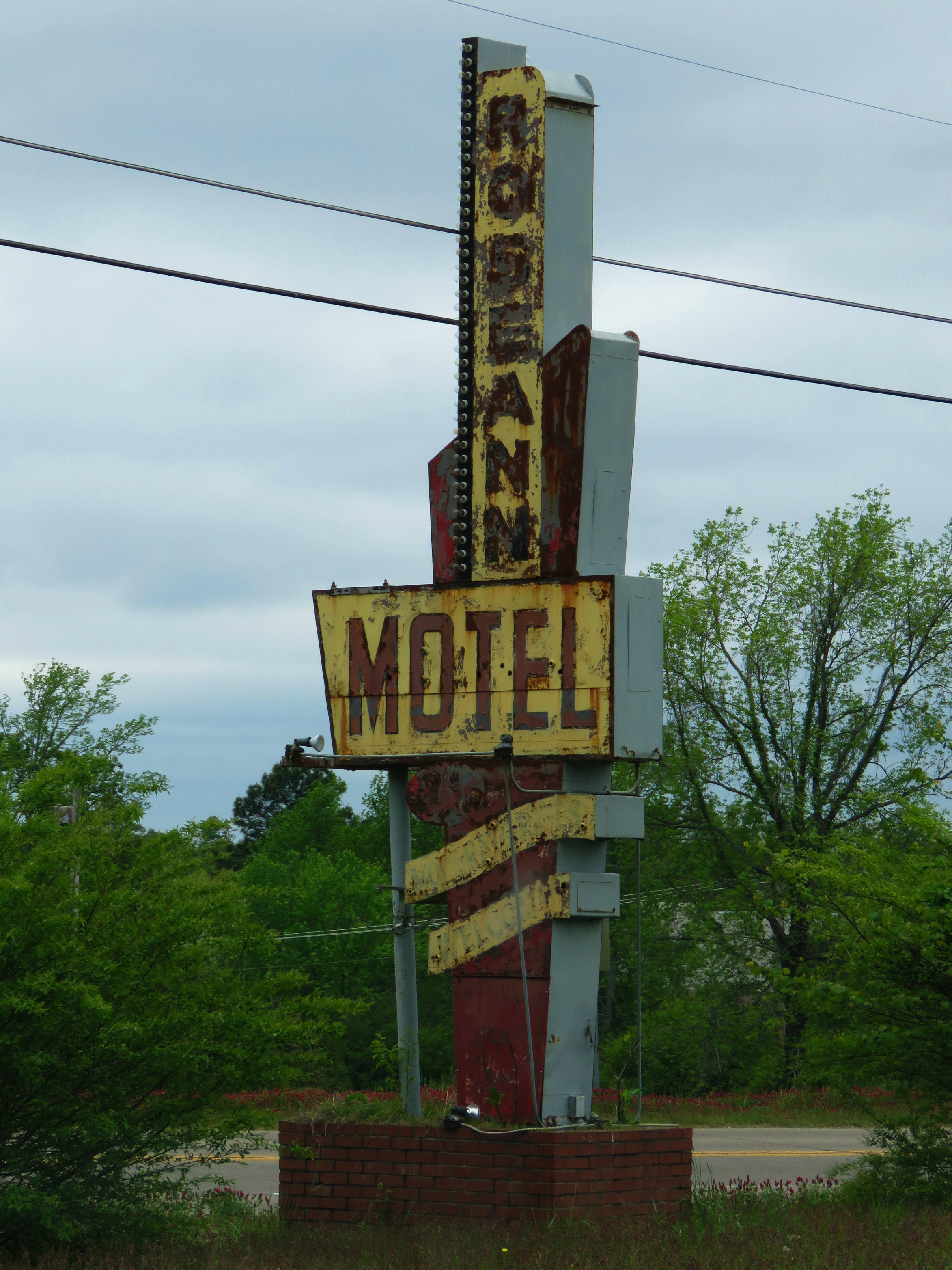
Roseann Motel (2 of 2)
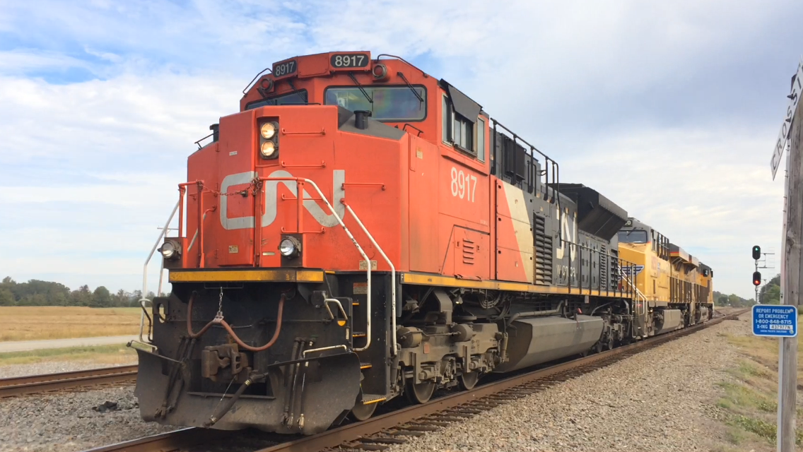
CN SD70M-2 8917
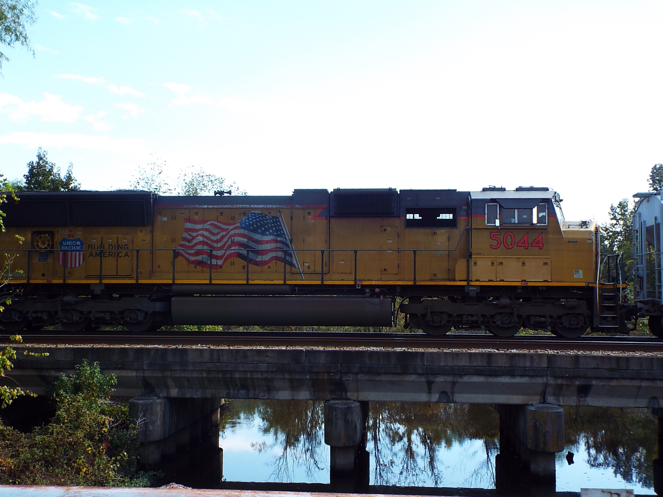
UP SD70M 5044
Grand Trunk Western

Missouri Pacific
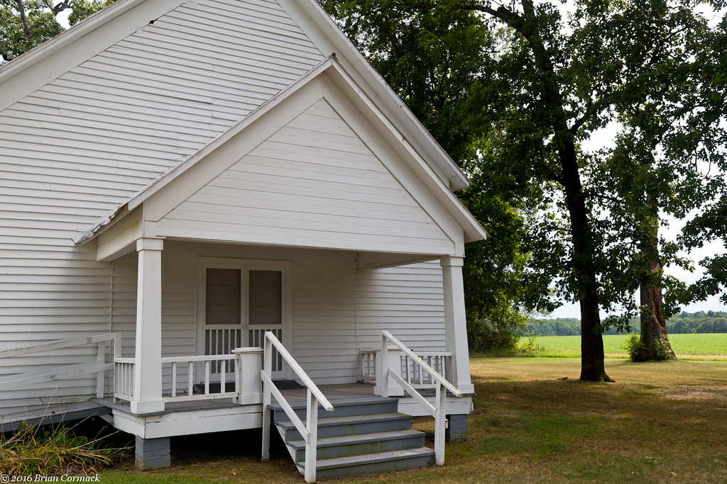
Johnson Chapel
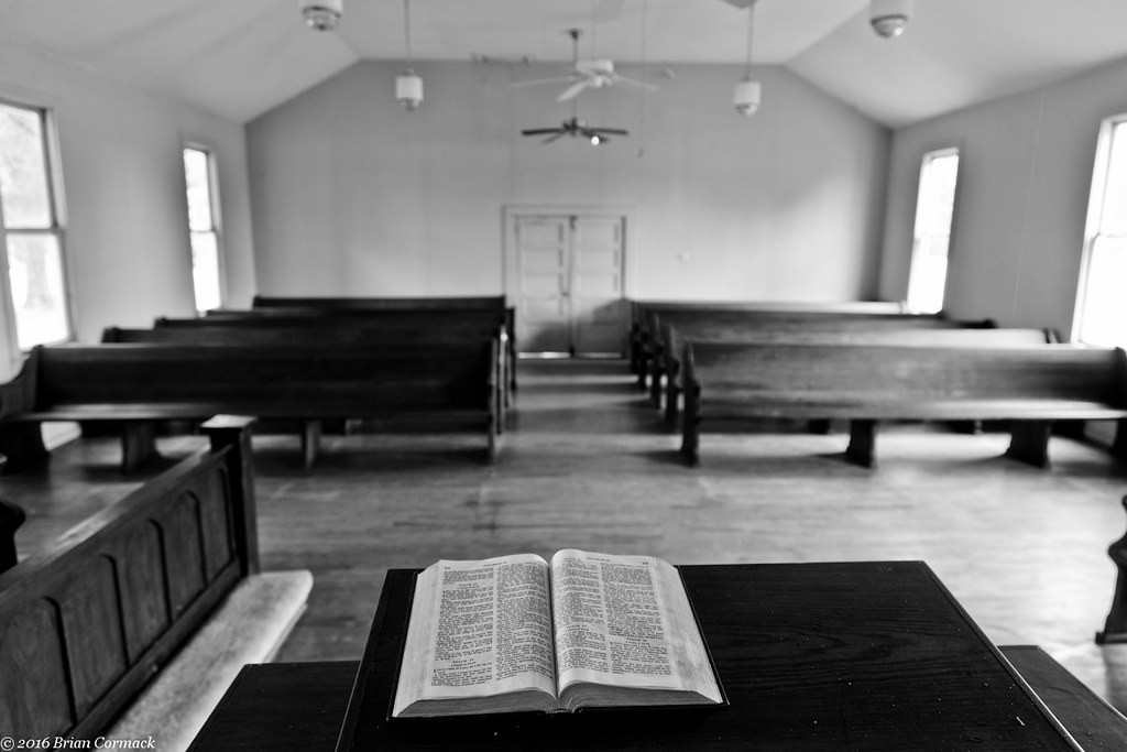
Johnson Chapel
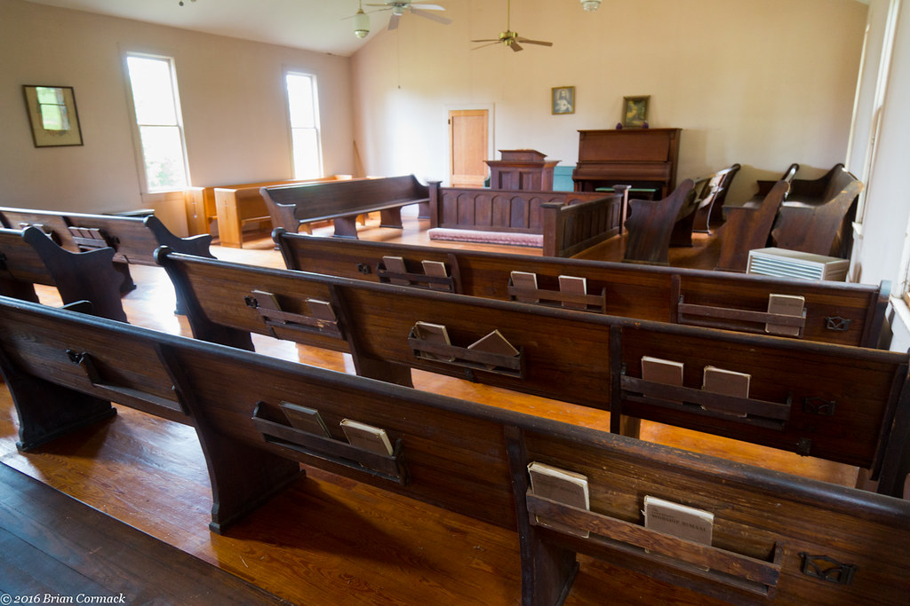
Johnson Chapel
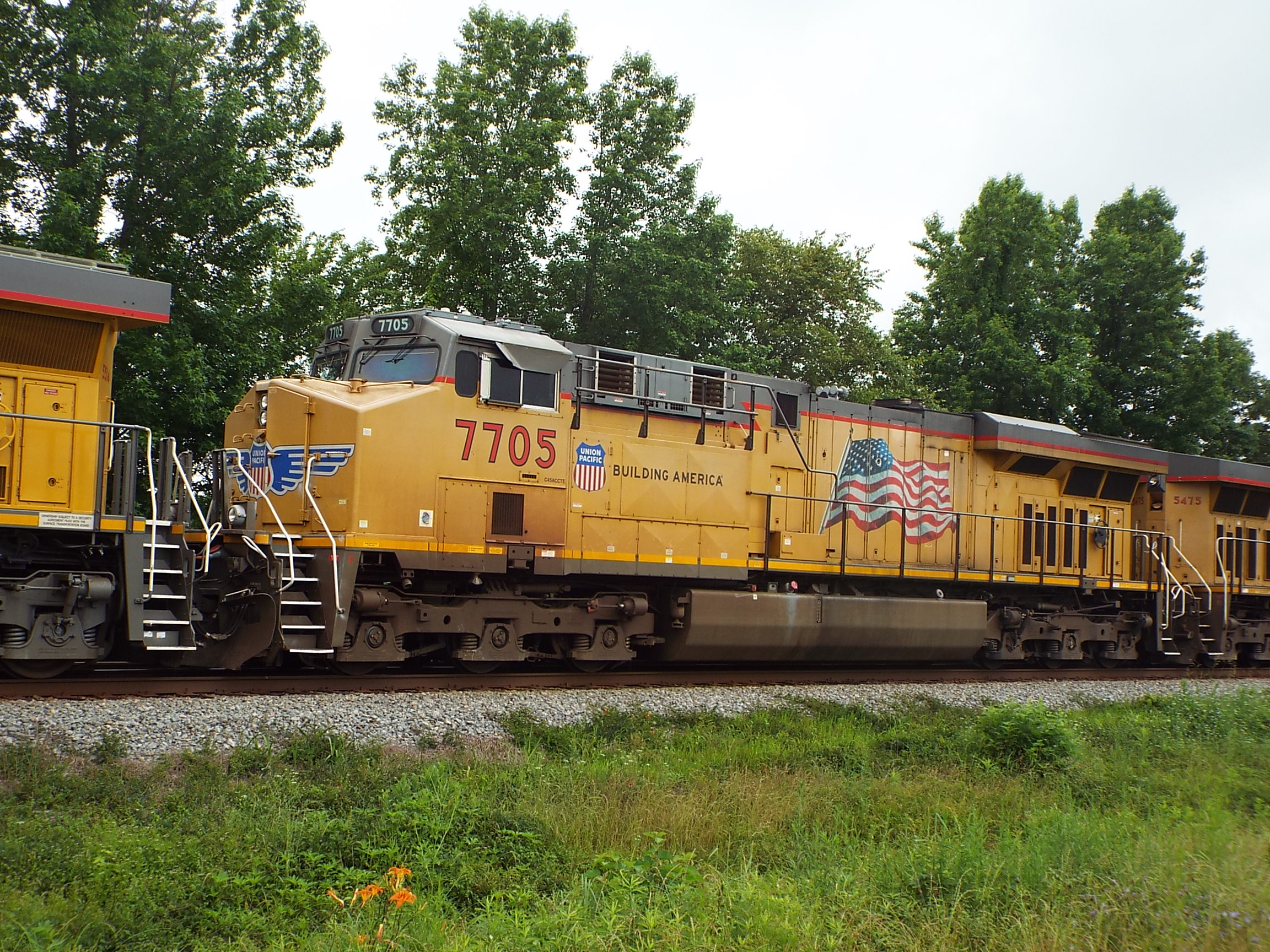
UP AC45CCTE 7705
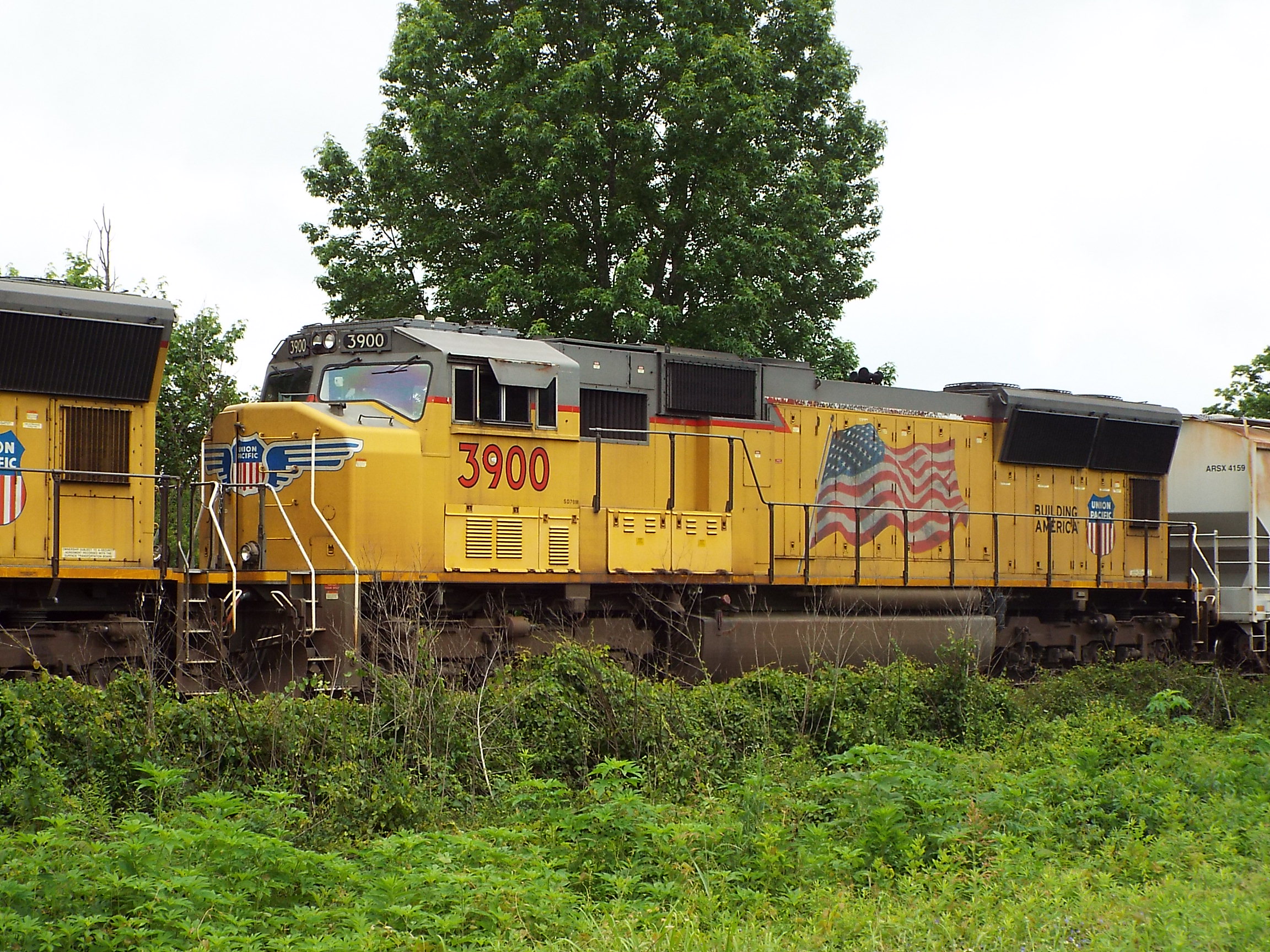
UP SD70M 3900
Low Green?

Highway 13 extension ribbon cutting ceremony
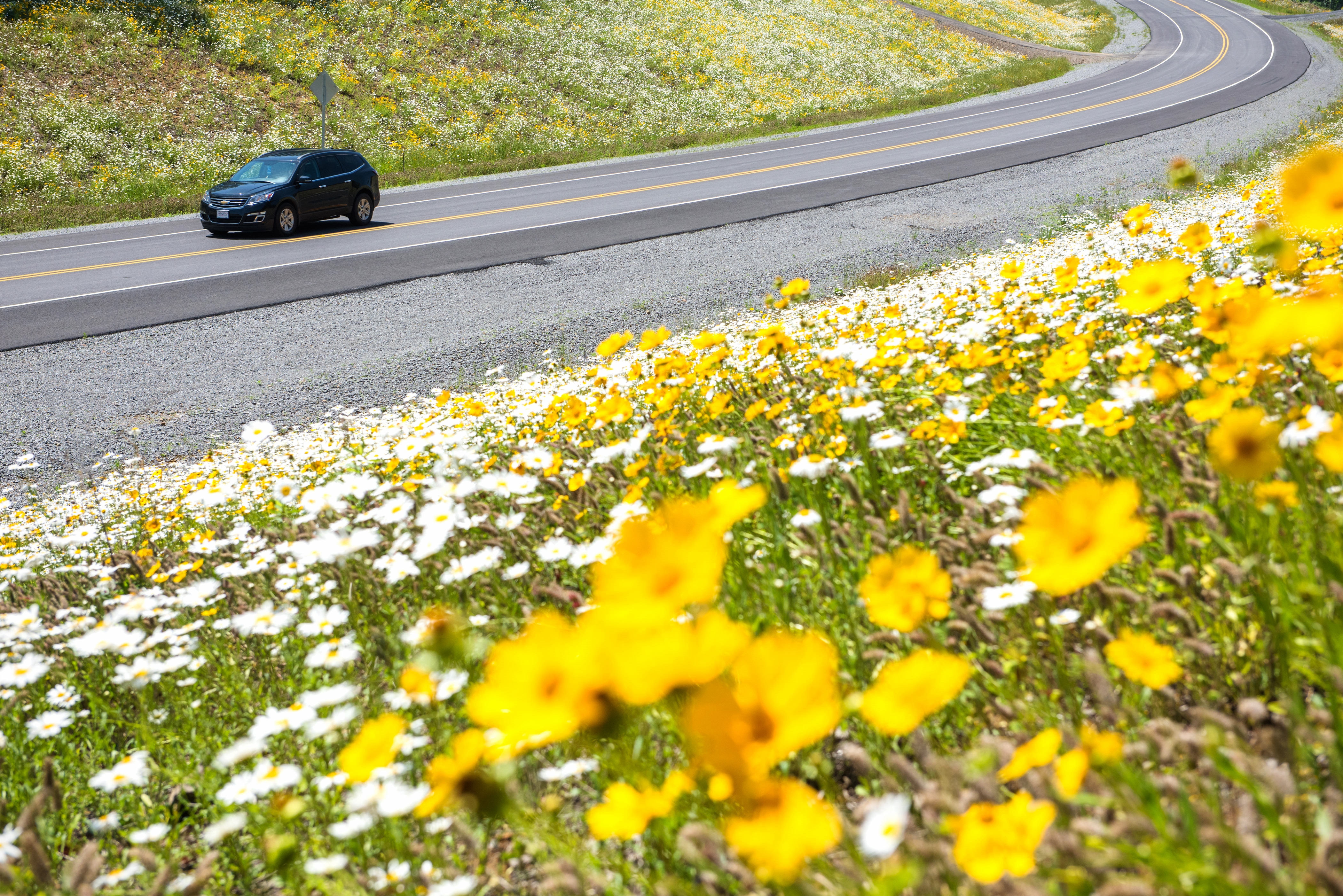
New section of Hwy. 13
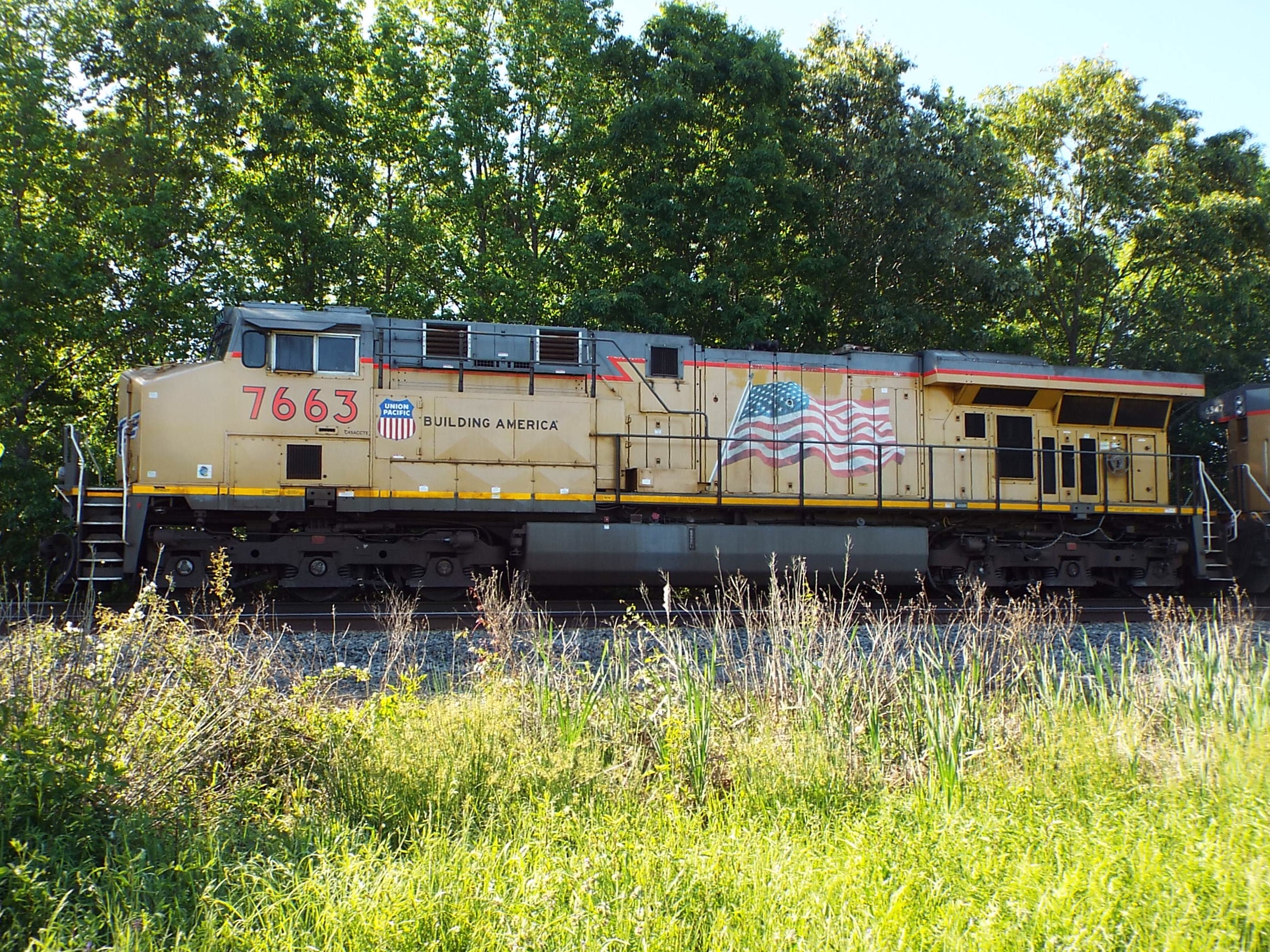
UP AC45CCTE 7663

Grand Trunk Western
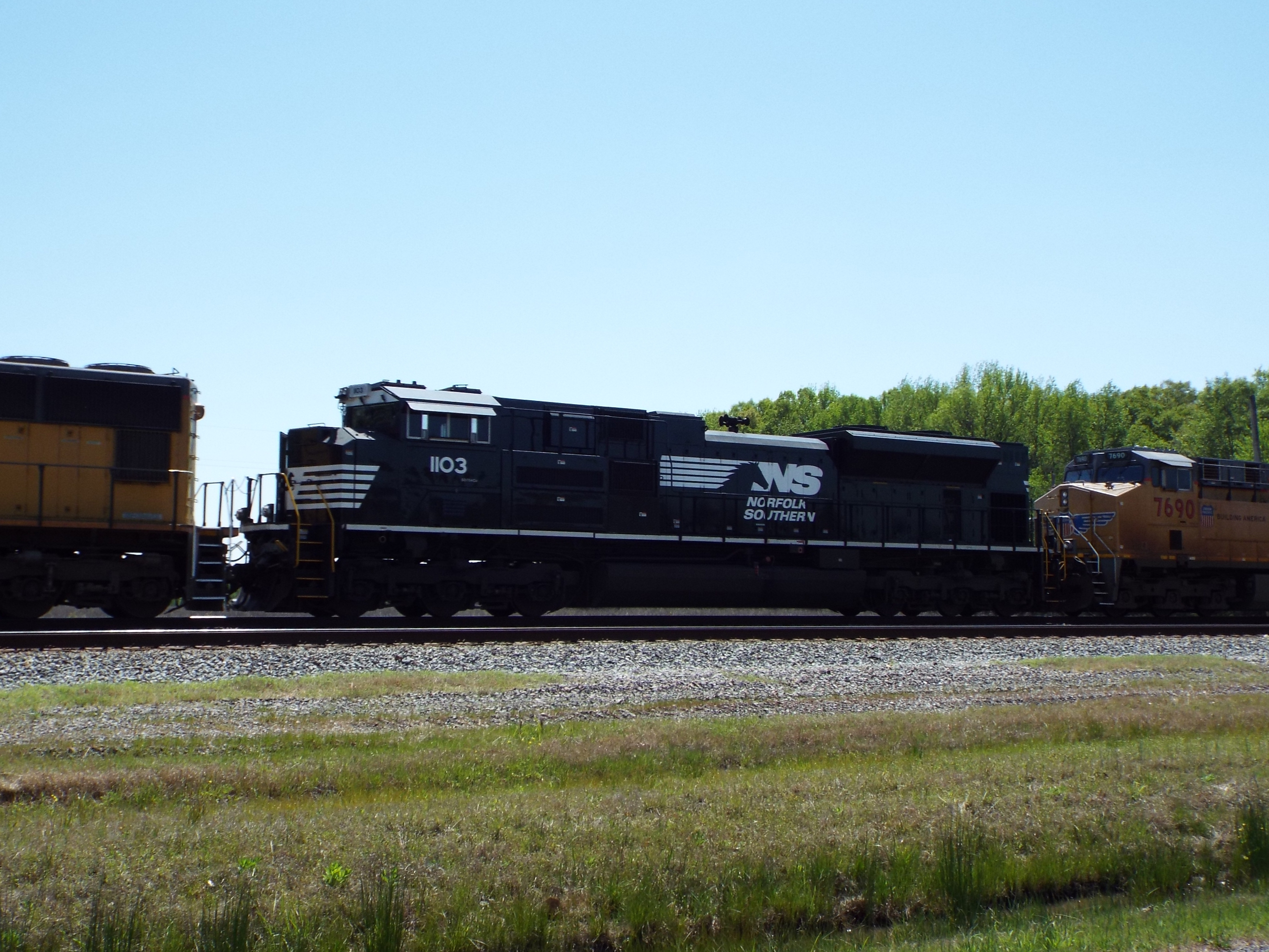
NS SD70ACe 1103
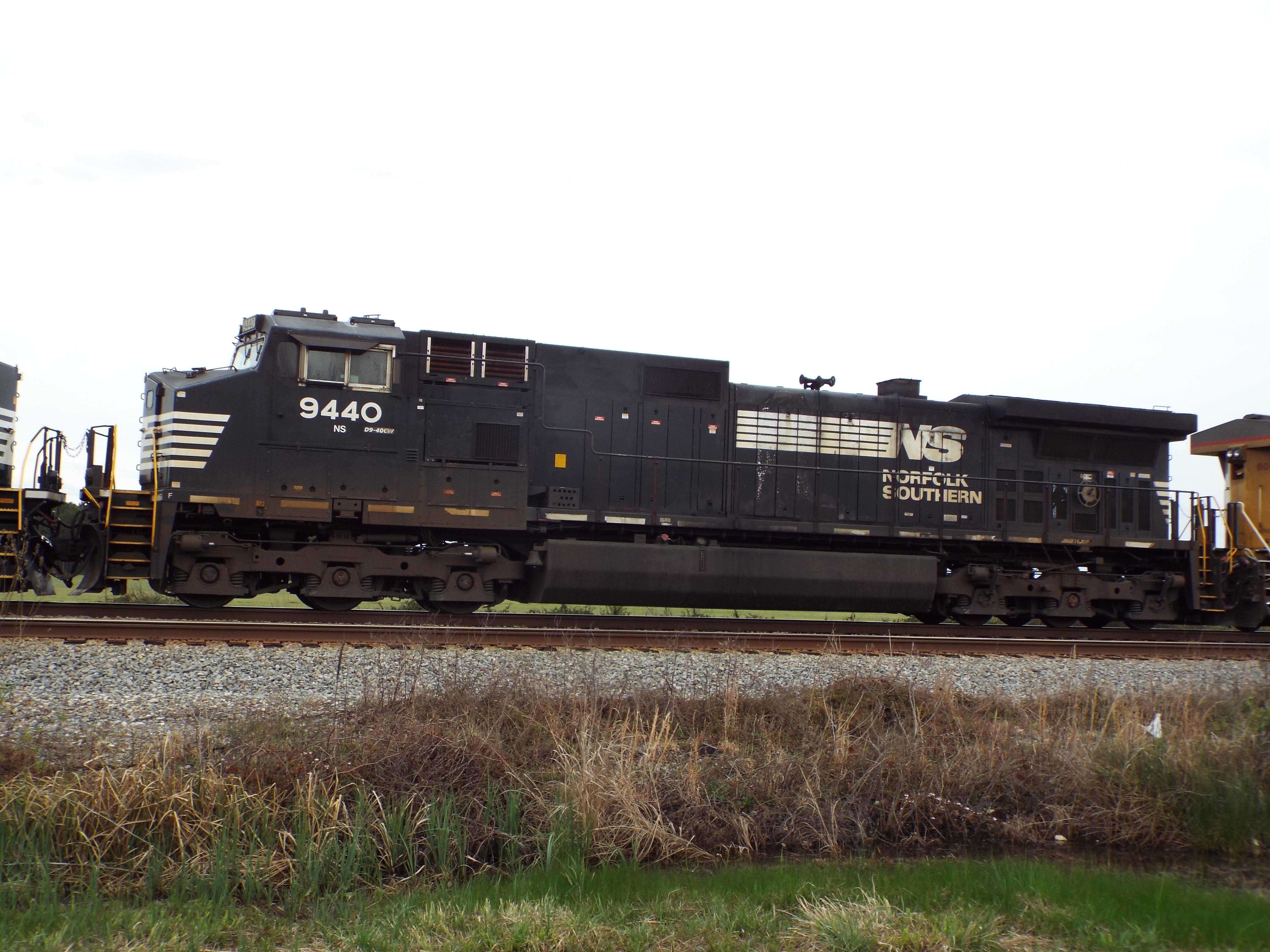
NS C40-9W 9440
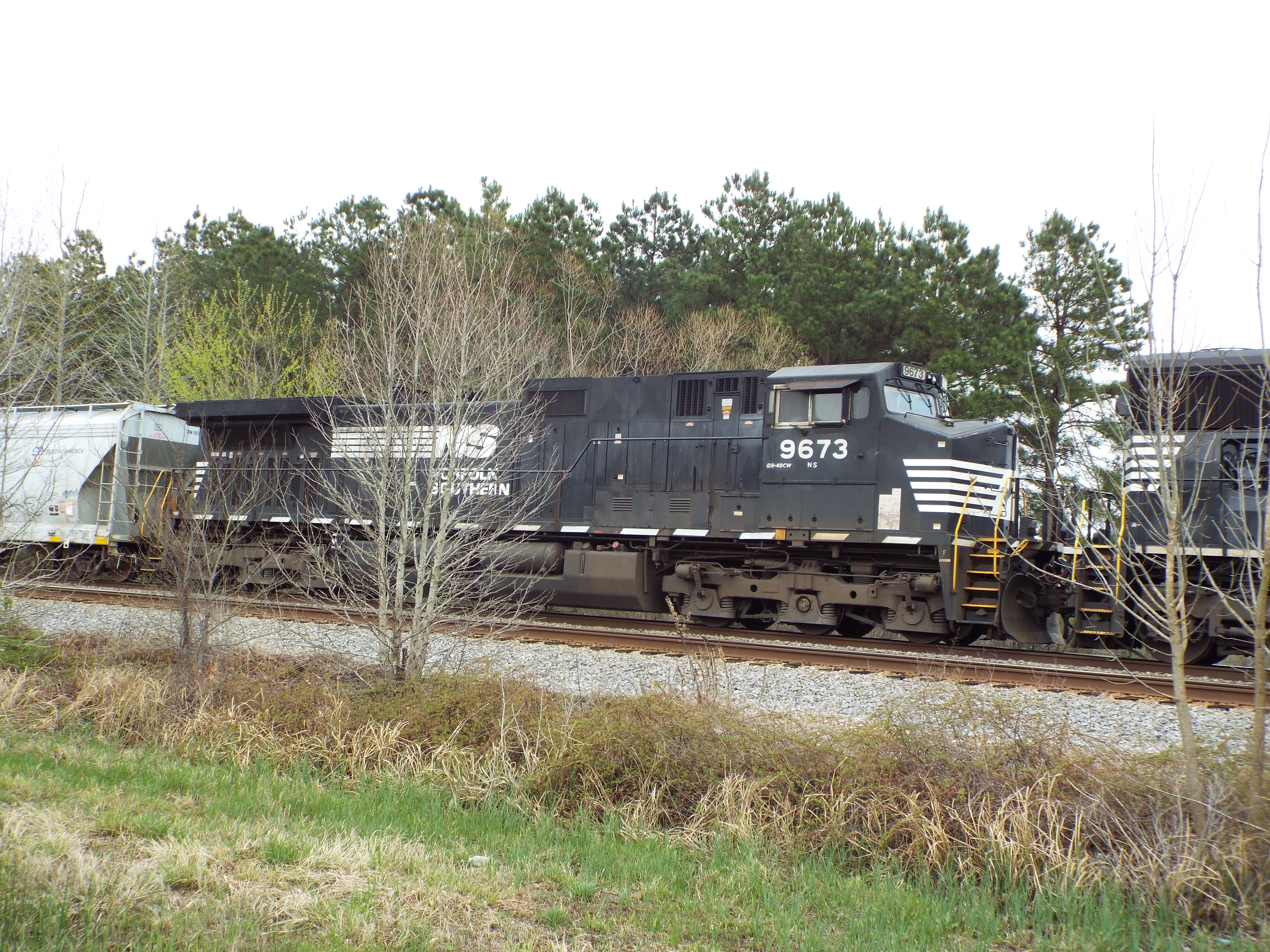
NS C40-9W 9673
Topographic Map of Lewis Ln, Searcy, AR, USA
Find elevation by address:

Places near Lewis Ln, Searcy, AR, USA:
Walker Township
Parson Ln, Searcy, AR, USA
Griffithville
AR-, Griffithville, AR, USA
Garner Township
Rogers Rd, Searcy, AR, USA
Dogwood Township
AR-11, Searcy, AR, USA
729 Lebanon Rd
2388 Ar-11
AR-11, Griffithville, AR, USA
Hickory Plain Township
Mcrae
Mcrae Township
AR-38, Des Arc, AR, USA
Cypress Lane
Hattie Ln, Ward, AR, USA
505 N Apple St
Chrisp Township
AR-36, Searcy, AR, USA
Recent Searches:
- Elevation of Woodland Oak Pl, Thousand Oaks, CA, USA
- Elevation of Brownsdale Rd, Renfrew, PA, USA
- Elevation of Corcoran Ln, Suffolk, VA, USA
- Elevation of Mamala II, Sariaya, Quezon, Philippines
- Elevation of Sarangdanda, Nepal
- Elevation of 7 Waterfall Way, Tomball, TX, USA
- Elevation of SW 57th Ave, Portland, OR, USA
- Elevation of Crocker Dr, Vacaville, CA, USA
- Elevation of Pu Ngaol Community Meeting Hall, HWHM+3X7, Krong Saen Monourom, Cambodia
- Elevation of Royal Ontario Museum, Queens Park, Toronto, ON M5S 2C6, Canada