Elevation of Big Creek Township, AR, USA
Location: United States > Arkansas > White County >
Longitude: -91.802585
Latitude: 35.431923
Elevation: 110m / 361feet
Barometric Pressure: 100KPa
Elevation Map:
Satellite Map:
Related Photos:
Magness Lake

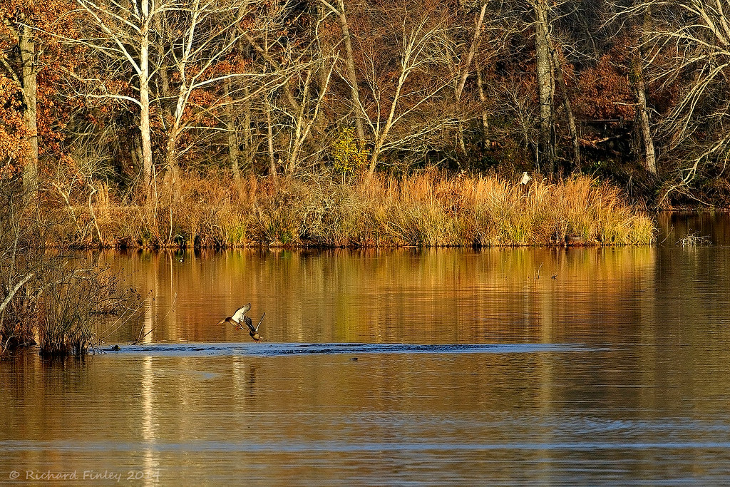
Swans taking off
Fly In The Sky 1 of 2
Fly In The Sky 2 of 2
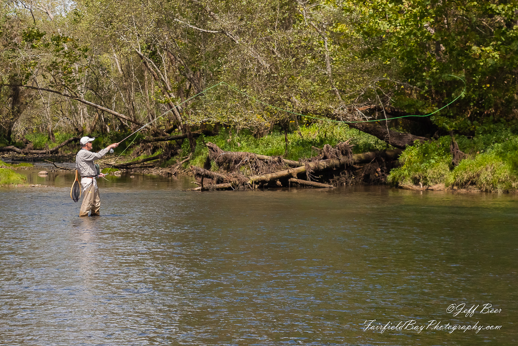
Casting Call?

20160520-RD-LSC-0454

The conductor
Backwards glance

Poise at the center

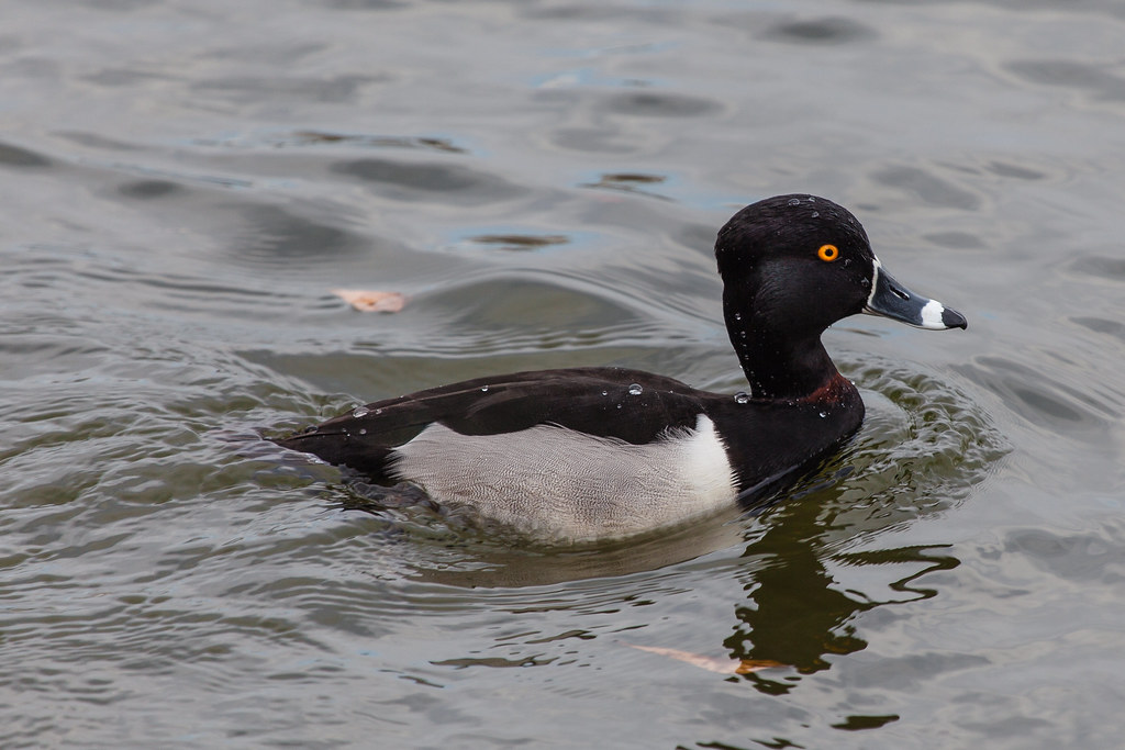
Wet ring-necked duck
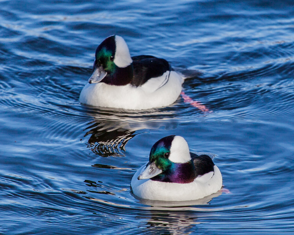
Buffleheads--not an insult.

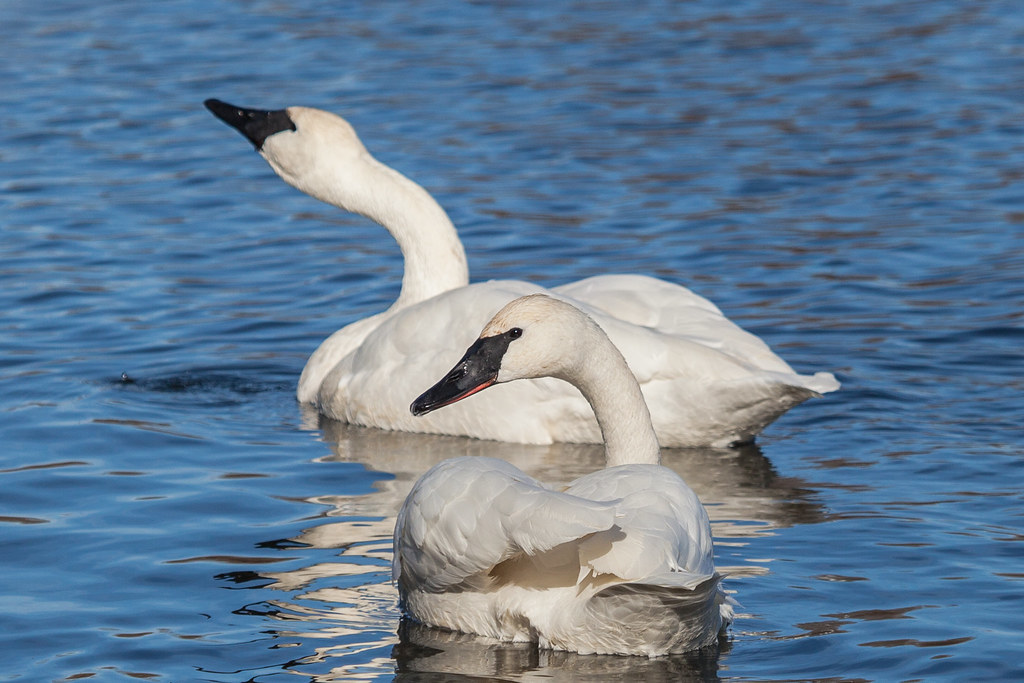
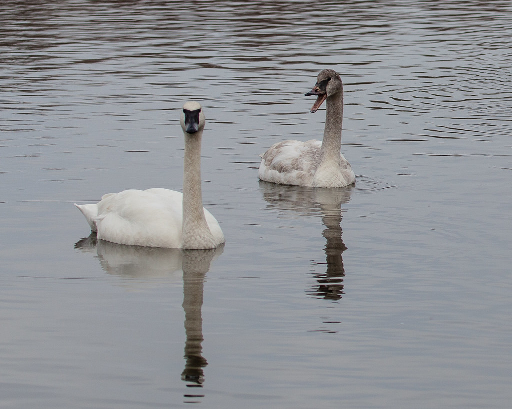
S is for swan
Swan curves
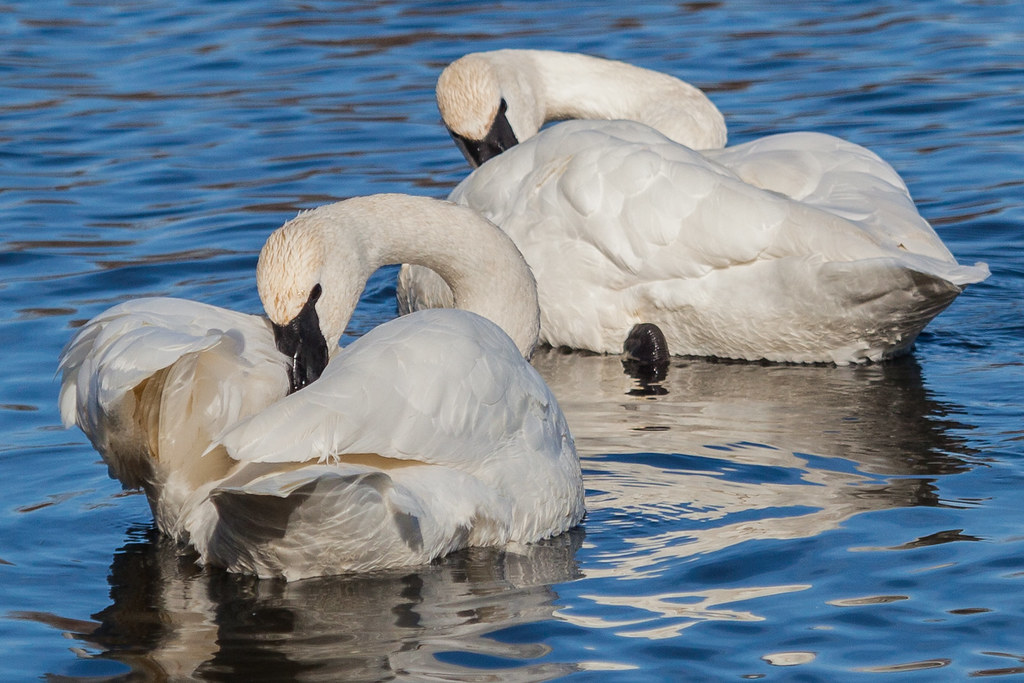
Synchronized preening

Swan reflections

Up close and personal
Yak, yak, yak
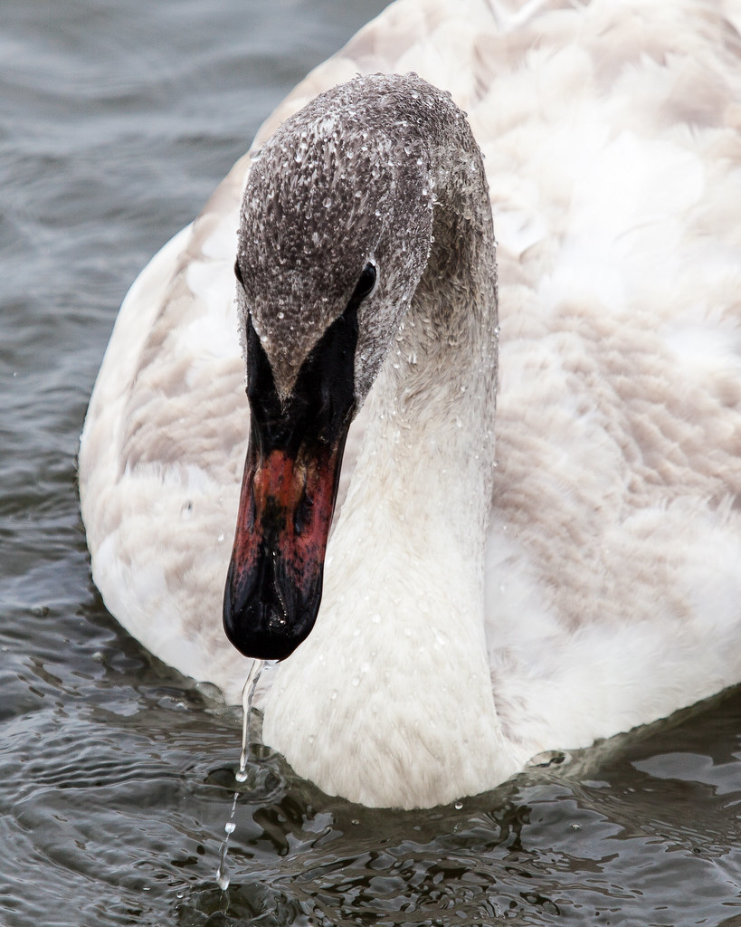
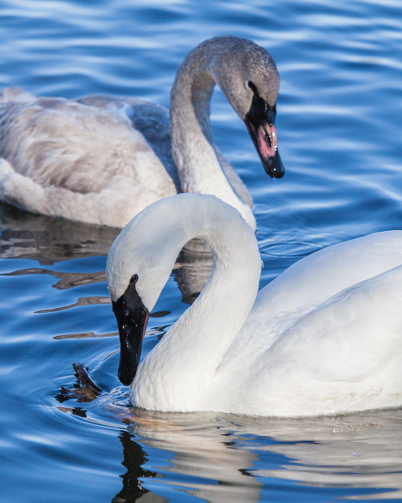
Still wet behind the ears.

Stepping into the air
Water on a duck's back
Topographic Map of Big Creek Township, AR, USA
Find elevation by address:

Places in Big Creek Township, AR, USA:
Places near Big Creek Township, AR, USA:
Pangburn
Main St, Pangburn, AR, USA
5780 Pangburn Rd
Letona
Pangburn Rd, Heber Springs, AR, USA
AR-16, Searcy, AR, USA
Albion Township
Pickens Township
Marion Township
AR-, Heber Springs, AR, USA
Primrose Creek Swimming Pool
Sugar Loaf Township
Sidon Rd, Rose Bud, AR, USA
Mountain Township
Cadron Township
Heber Township
117 E Main St
Heber Springs
Heber Springs High School
Ar-16 & Ar-5
Recent Searches:
- Elevation of Placer Mine Ln, West Jordan, UT, USA
- Elevation of E 63rd St, New York, NY, USA
- Elevation of Elk City, OK, USA
- Elevation of Erika Dr, Windsor, CA, USA
- Elevation of Village Ln, Finleyville, PA, USA
- Elevation of 24 Oakland Rd #, Scotland, ON N0E 1R0, Canada
- Elevation of Deep Gap Farm Rd E, Mill Spring, NC, USA
- Elevation of Dog Leg Dr, Minden, NV, USA
- Elevation of Dog Leg Dr, Minden, NV, USA
- Elevation of Kambingan Sa Pansol Atbp., Purok 7 Pansol, Candaba, Pampanga, Philippines