Elevation of AR-16, Searcy, AR, USA
Location: United States > Arkansas > White County > Albion Township >
Longitude: -91.794066
Latitude: 35.352964
Elevation: 68m / 223feet
Barometric Pressure: 101KPa
Elevation Map:
Satellite Map:
Related Photos:

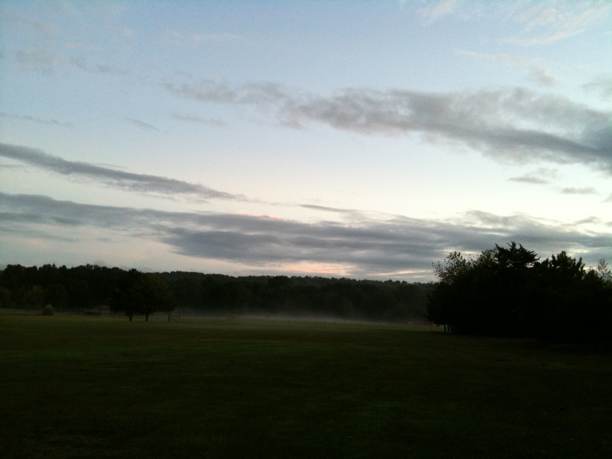
Early morning fall colors

All five kids at school. My view for the day. Can't you hear the quiet!!! 3/365
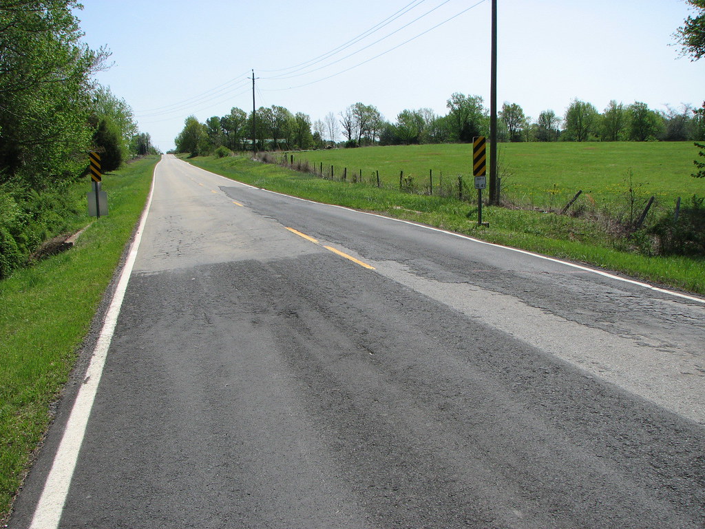
The view behind Boomers
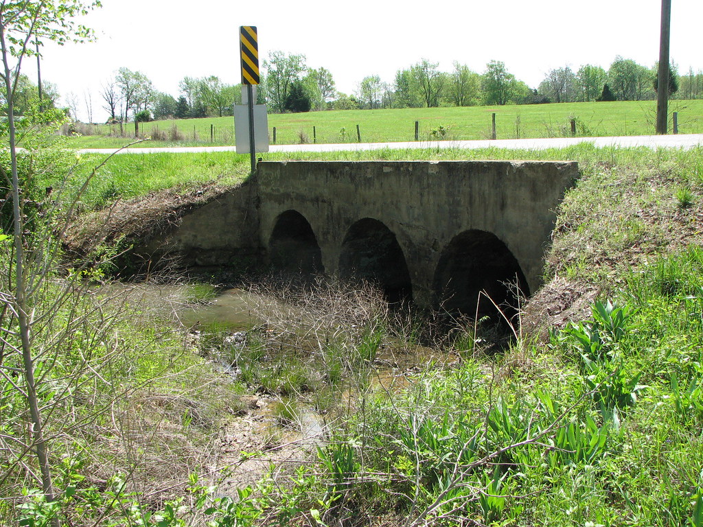
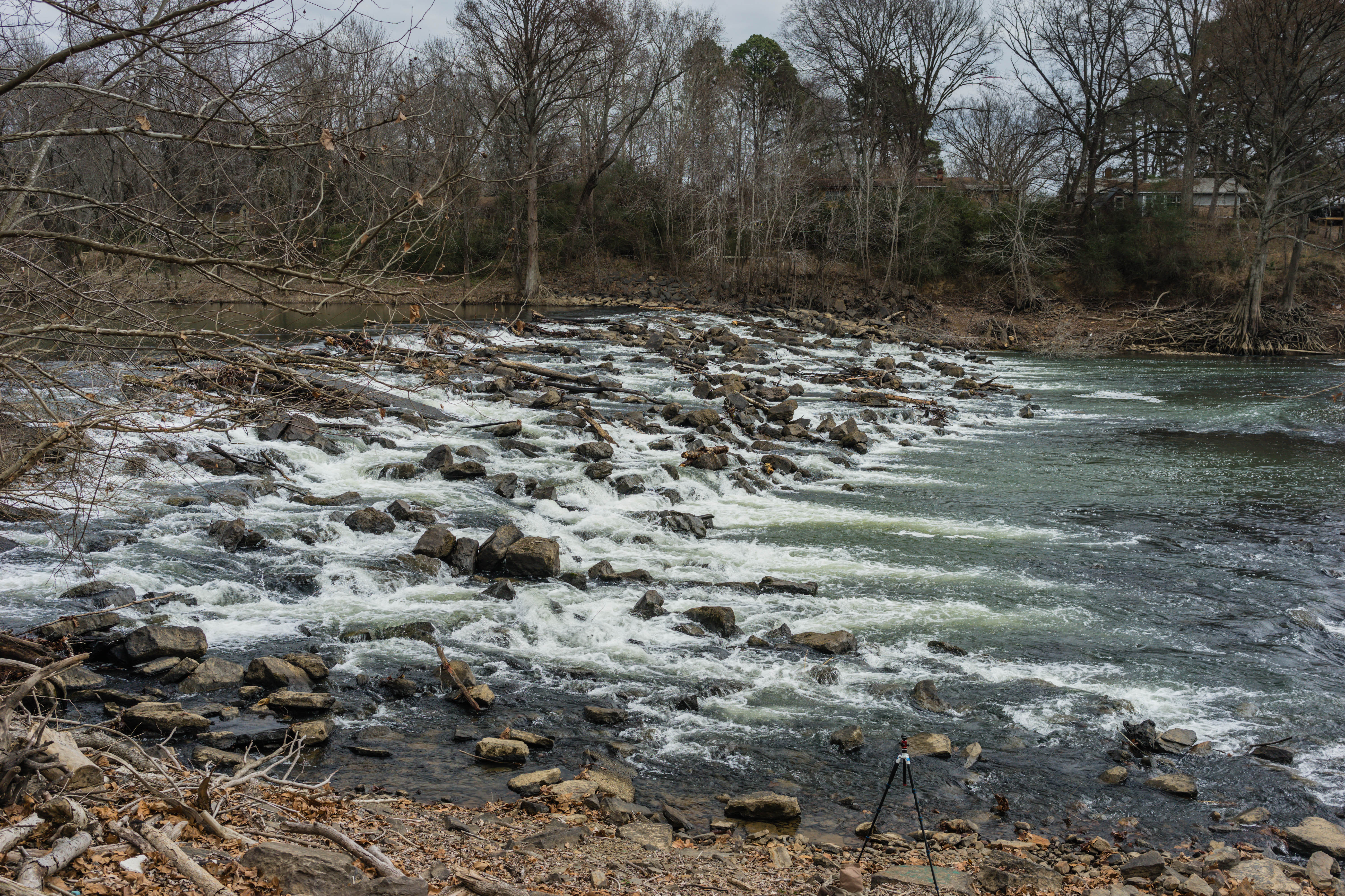
Hog Foot Creek-Top View
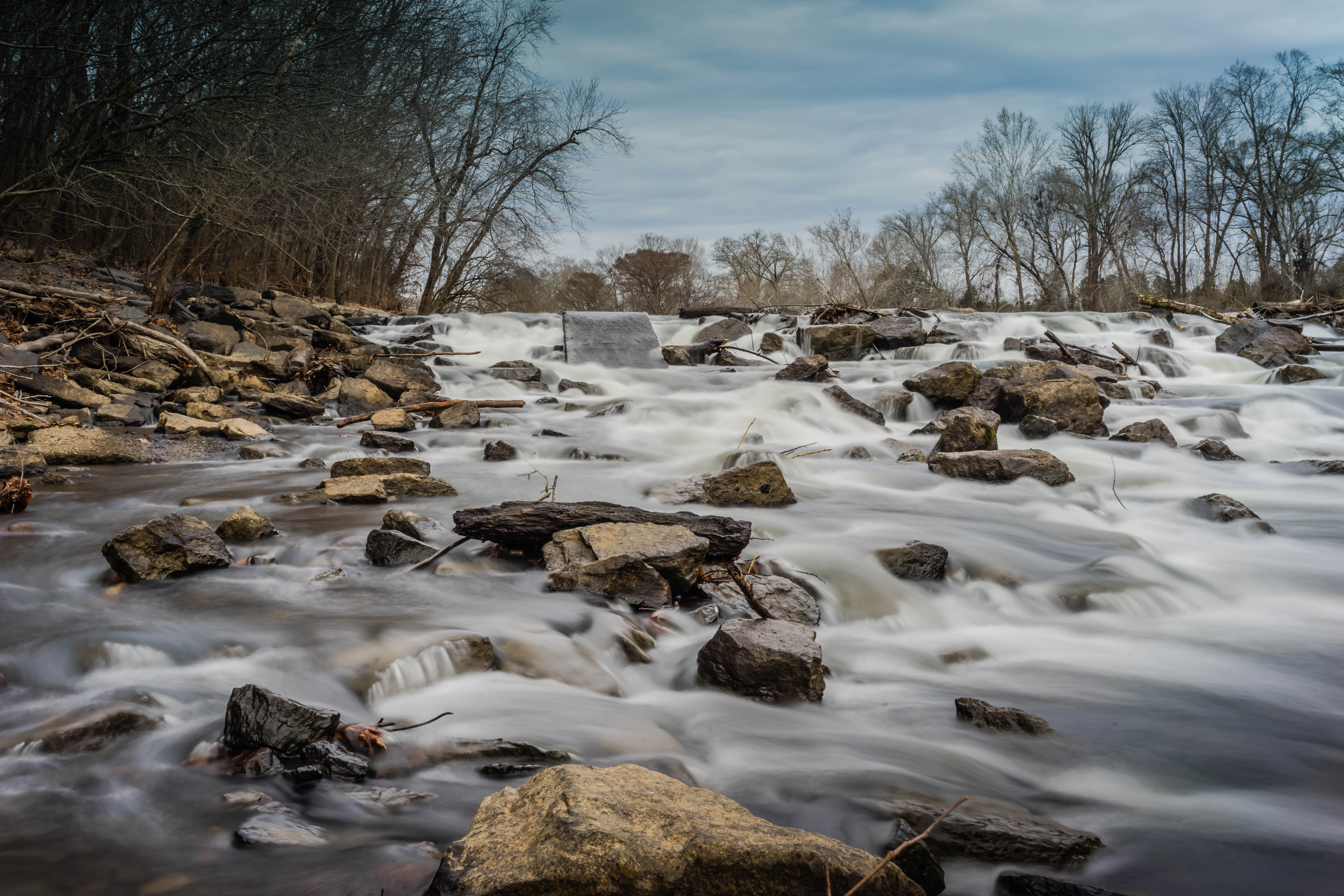
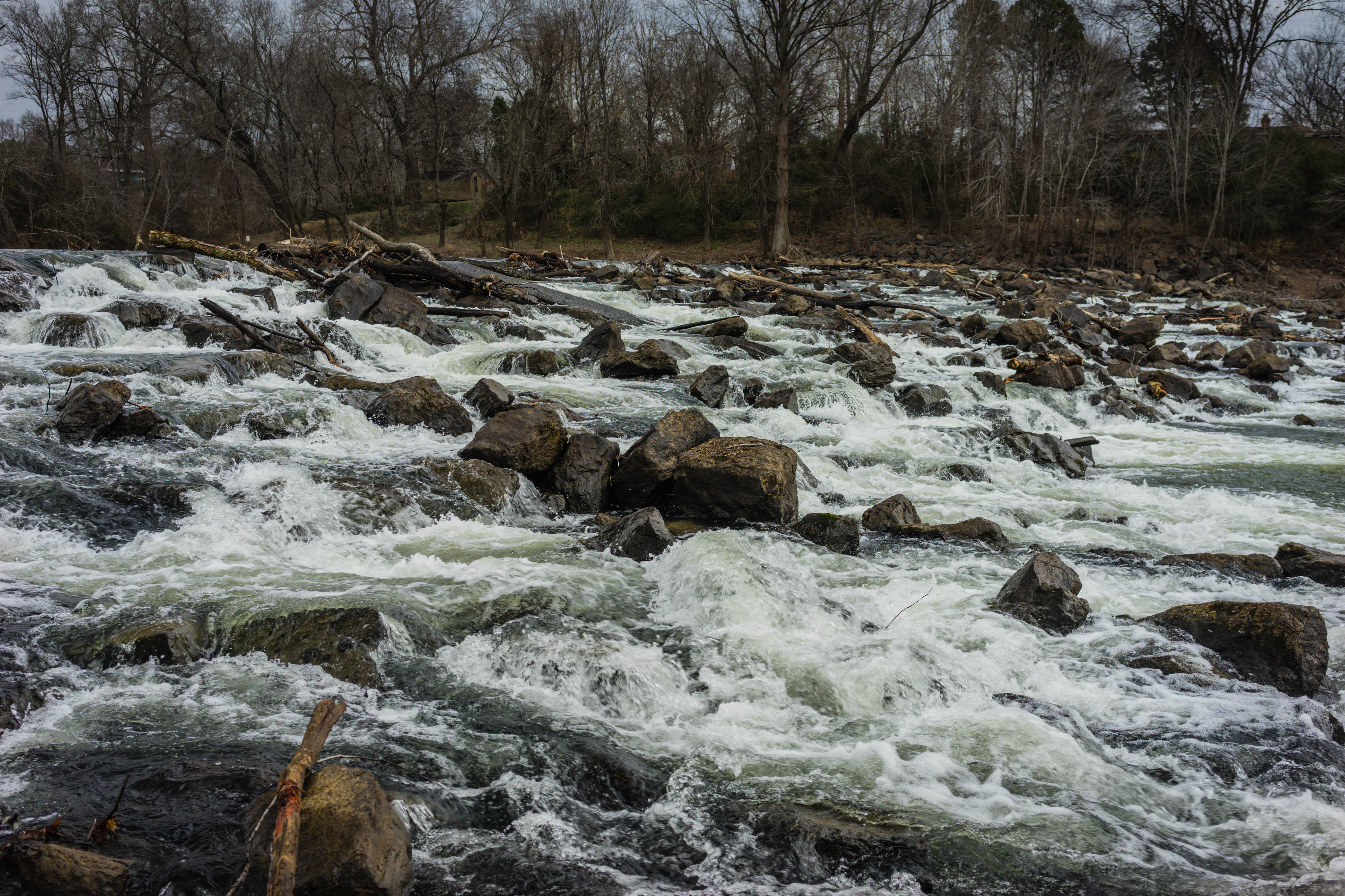
Hog Foot Creek-Side View

Happy Christmas (War is Over)
_DSC0647.jpg
_DSC0639.jpg

Fall pathway
Old Feed Factory

2012-12-26 at 17-56-38

Fly In The Sky 1 of 2

Fly In The Sky 2 of 2
Casting Call?
_DSC0722.jpg
_DSC0703.jpg

_DSC0702.jpg
_DSC0689.jpg

_DSC0668.jpg

_DSC0662.jpg

_DSC0659.jpg

_DSC0657.jpg

_DSC0656.jpg
_DSC0654.jpg

_DSC0644.jpg

_DSC0634.jpg
Topographic Map of AR-16, Searcy, AR, USA
Find elevation by address:

Places near AR-16, Searcy, AR, USA:
Albion Township
Letona
Marion Township
Big Creek Township
Main St, Pangburn, AR, USA
Pangburn
5780 Pangburn Rd
Pickens Township
Pangburn Rd, Heber Springs, AR, USA
Sidon Rd, Rose Bud, AR, USA
AR-, Heber Springs, AR, USA
Cadron Township
Primrose Creek Swimming Pool
Mountain Township
Sugar Loaf Township
Heber Township
117 E Main St
Heber Springs
Ar-16 & Ar-5
Heber Springs High School
Recent Searches:
- Elevation of Dog Leg Dr, Minden, NV, USA
- Elevation of Dog Leg Dr, Minden, NV, USA
- Elevation of Kambingan Sa Pansol Atbp., Purok 7 Pansol, Candaba, Pampanga, Philippines
- Elevation of Pinewood Dr, New Bern, NC, USA
- Elevation of Mountain View, CA, USA
- Elevation of Foligno, Province of Perugia, Italy
- Elevation of Blauwestad, Netherlands
- Elevation of Bella Terra Blvd, Estero, FL, USA
- Elevation of Estates Loop, Priest River, ID, USA
- Elevation of Woodland Oak Pl, Thousand Oaks, CA, USA