Elevation of Cadron Township, AR, USA
Location: United States > Arkansas > White County >
Longitude: -91.958800
Latitude: 35.3417936
Elevation: 209m / 686feet
Barometric Pressure: 99KPa
Elevation Map:
Satellite Map:
Related Photos:
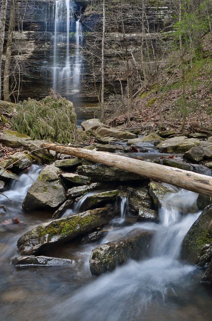
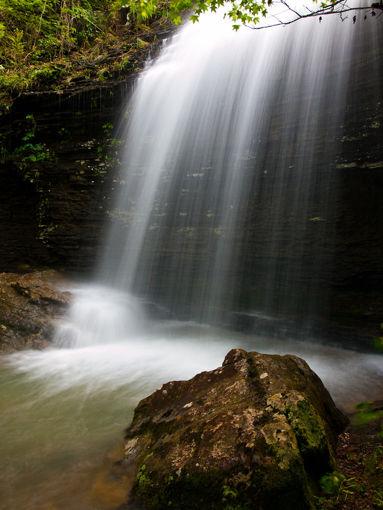
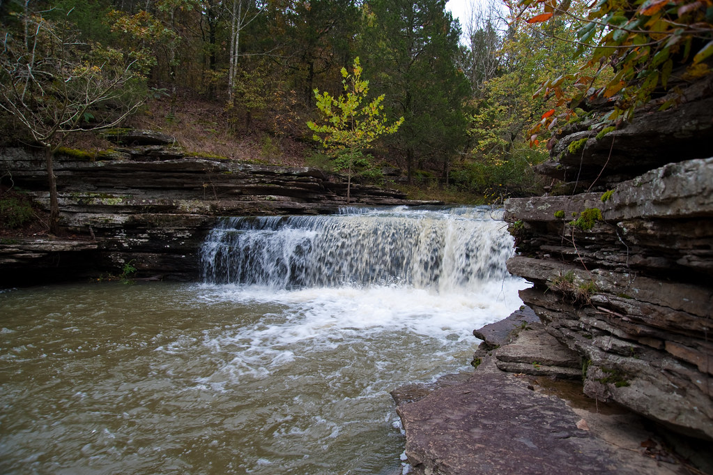
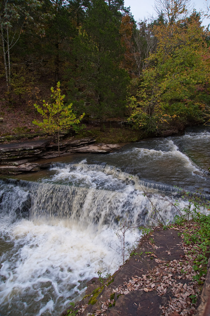
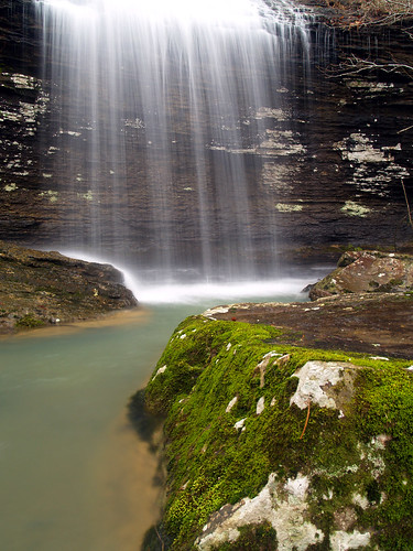
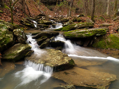
Cornelius Falls
Cornelius Falls
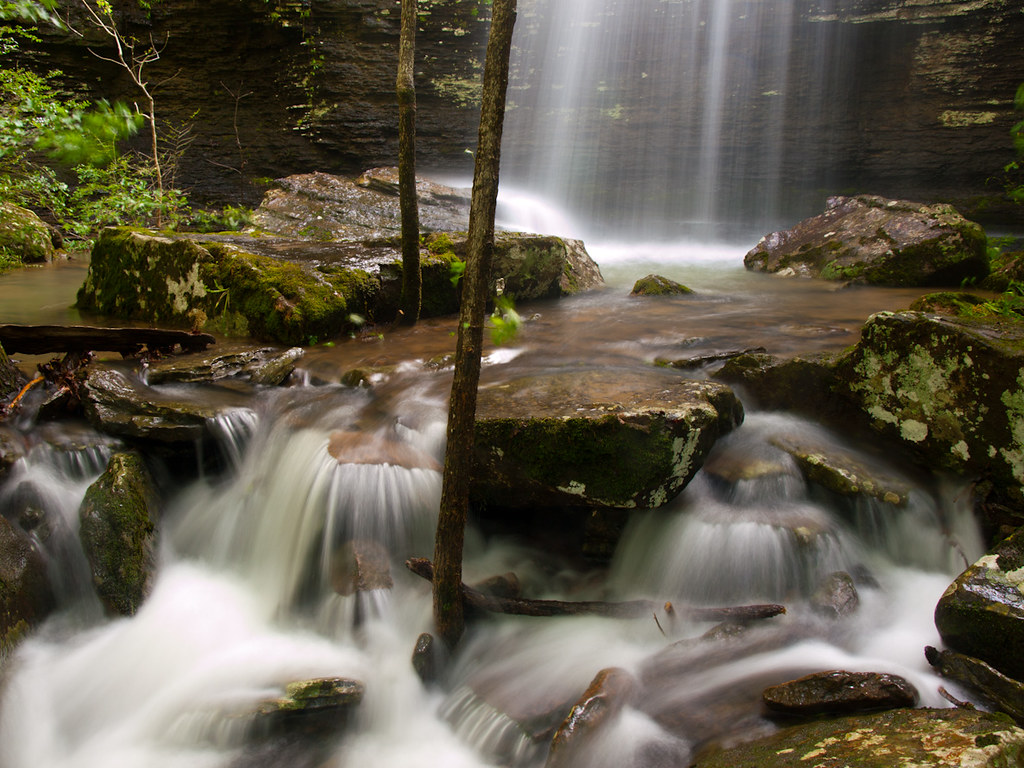
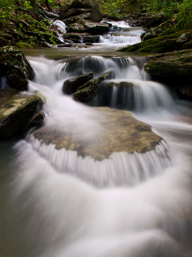
Hog Foot Creek-Top View
Hog Foot Creek-Side View
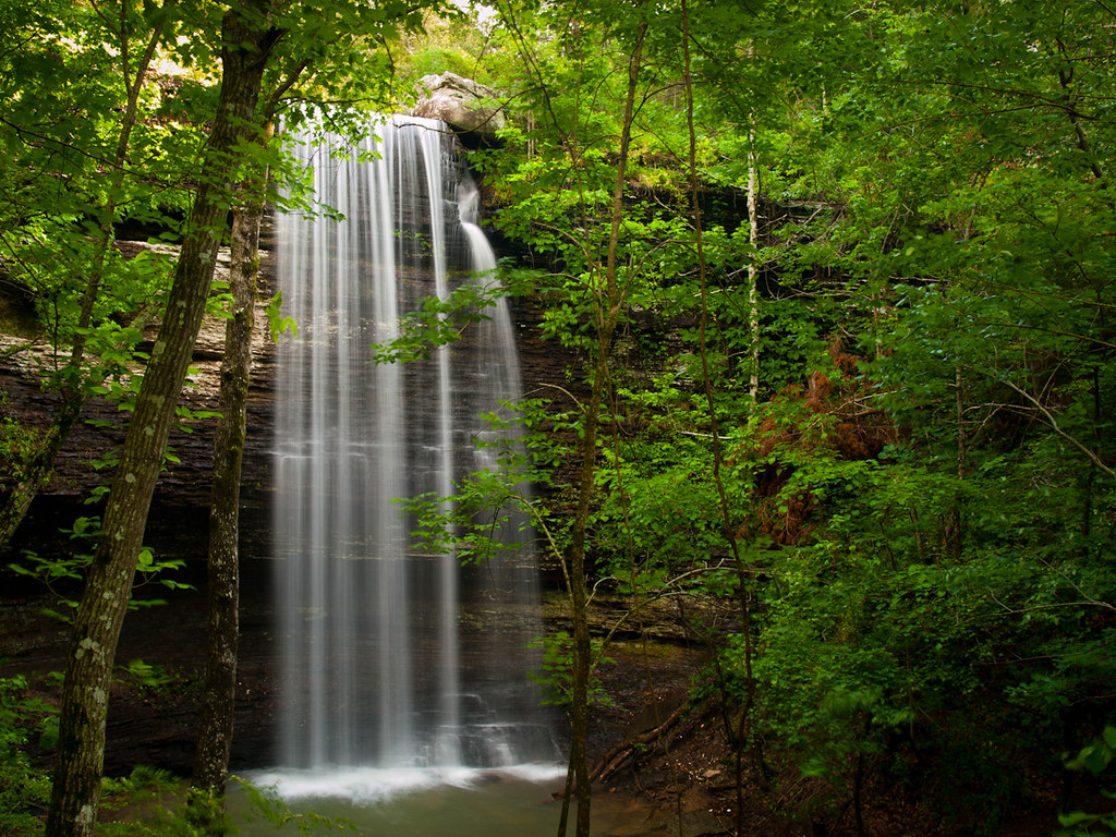
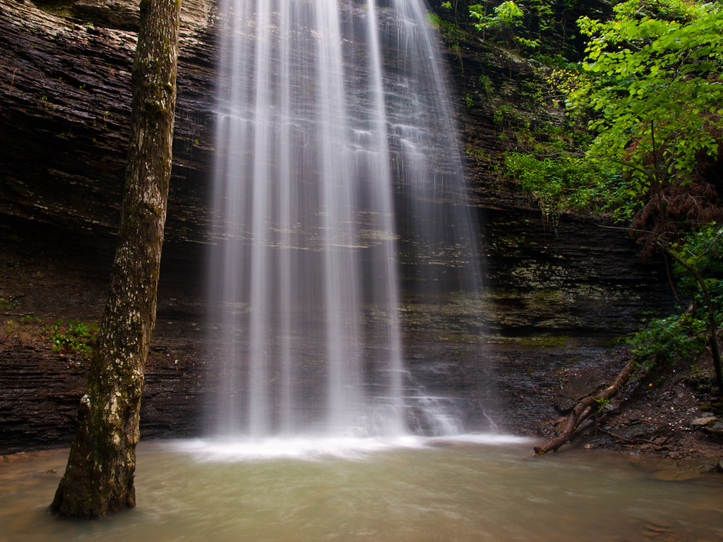
Bridal Veil Falls
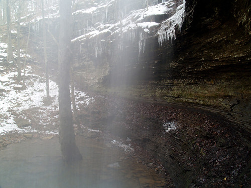
Below the veil
Cornelius Falls
Cornelius Falls
The view from behind...
Below the Bridal Veil
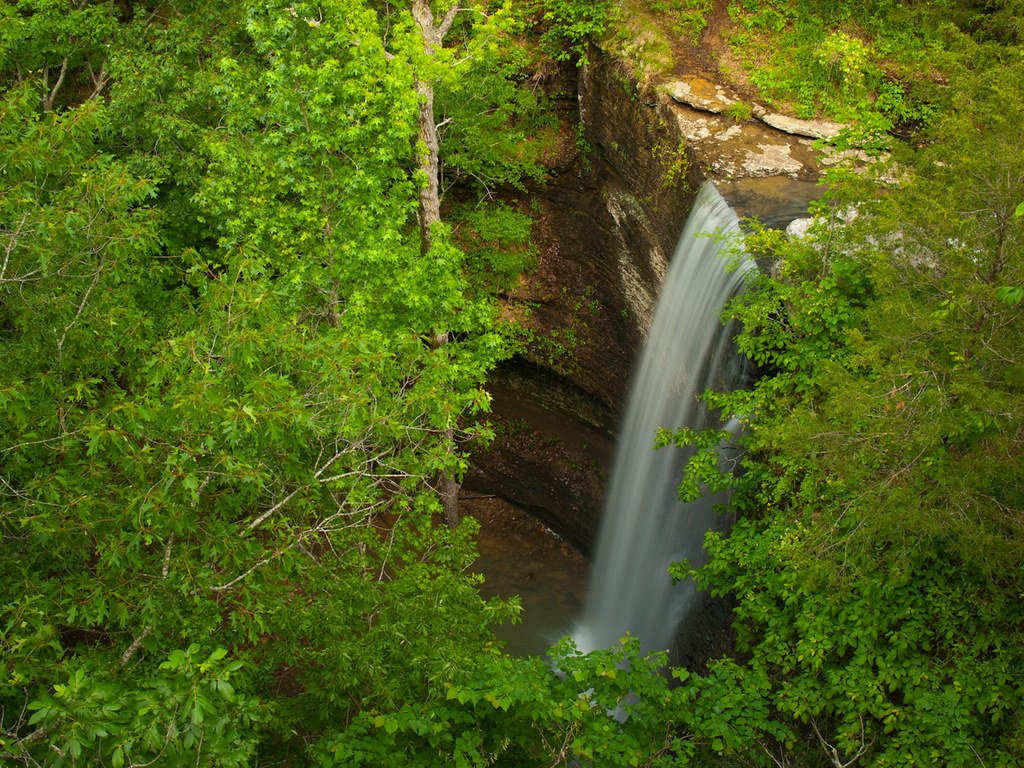
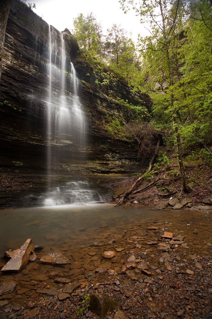
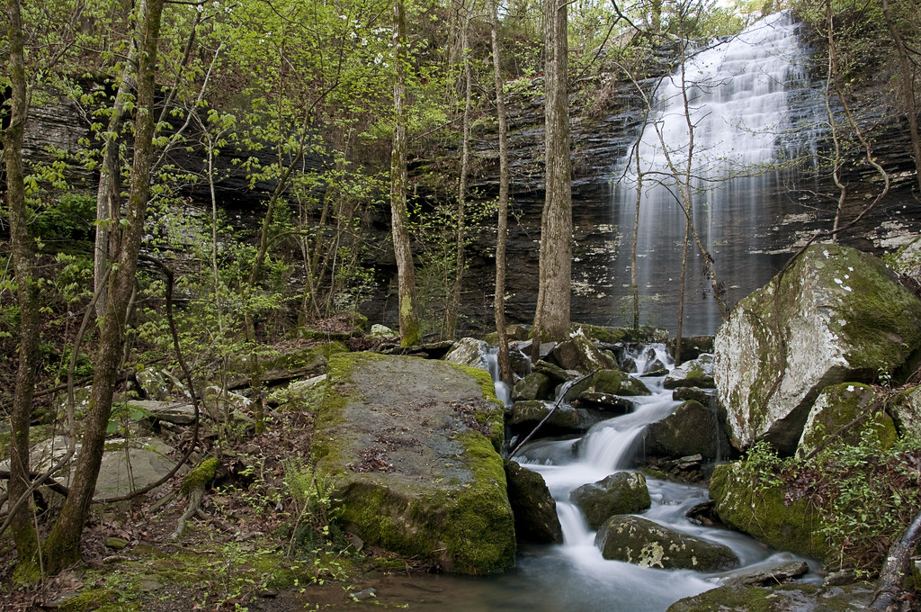
Romance Waterfalls
Cornelius Falls
Top of Romance Waterfalls

Swans taking off
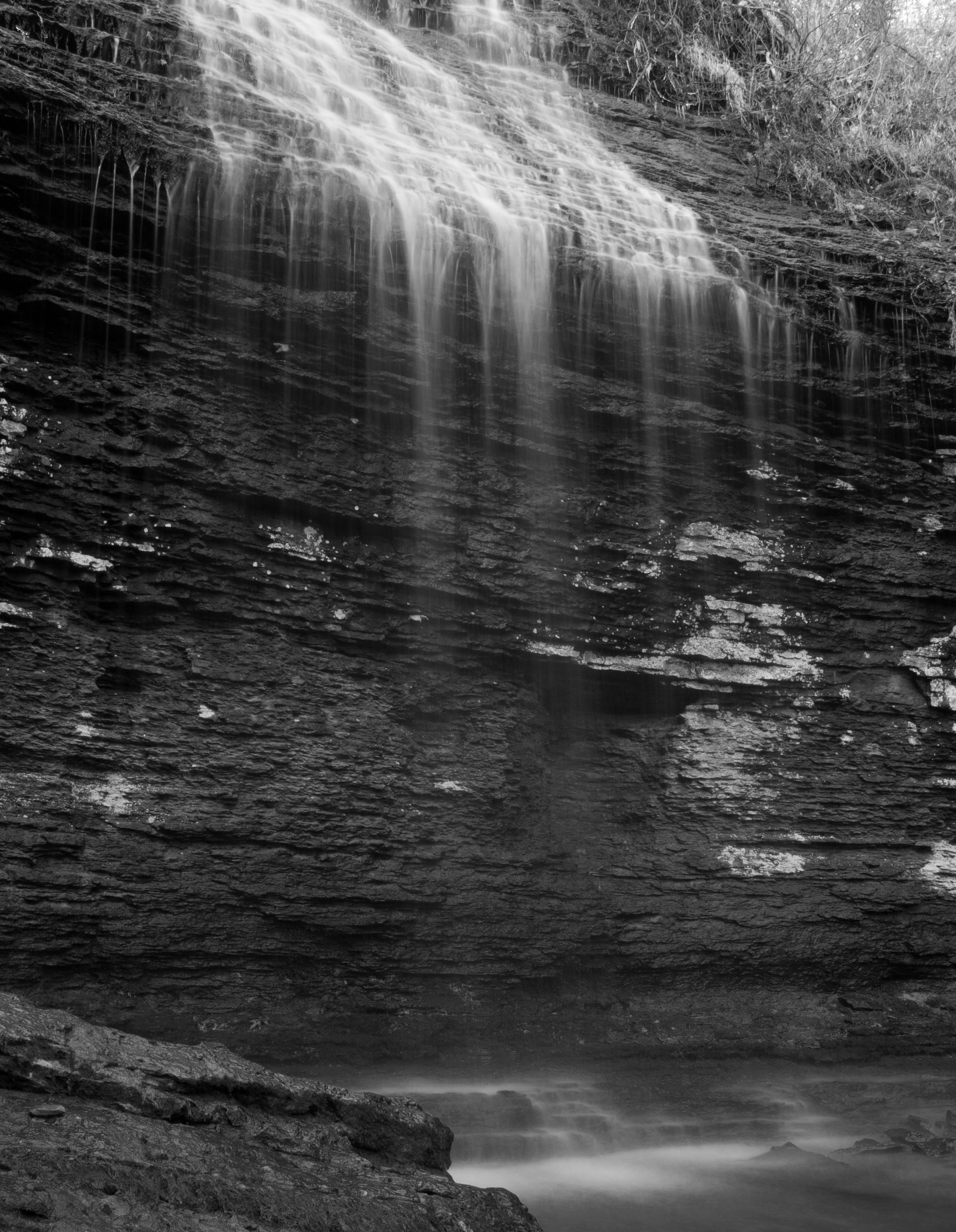
Bridal Veil Falls
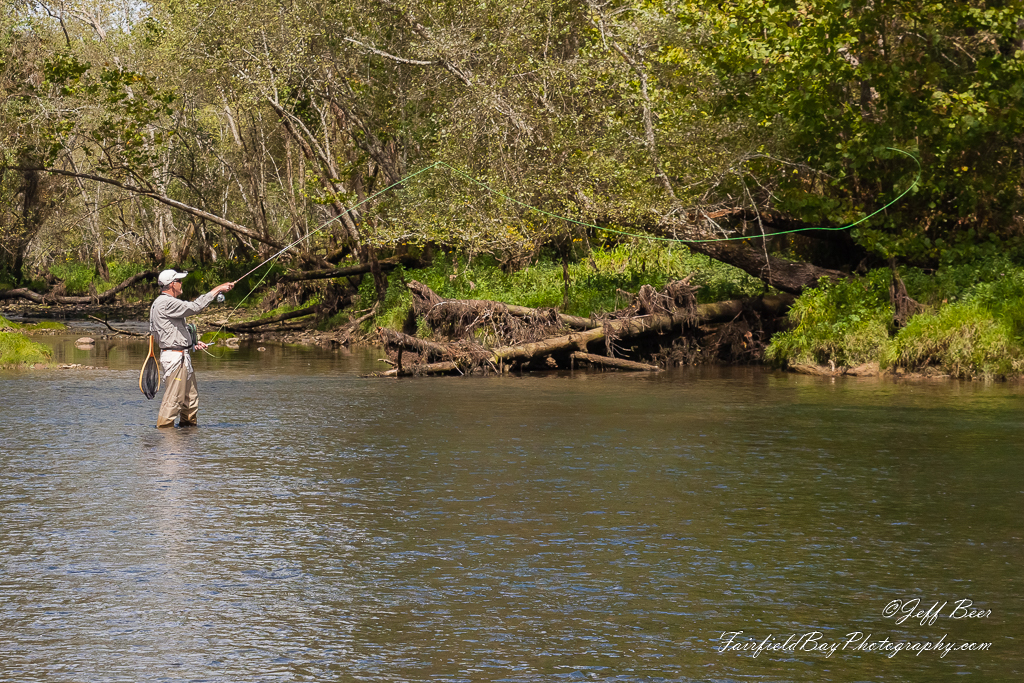
Fly In The Sky 1 of 2
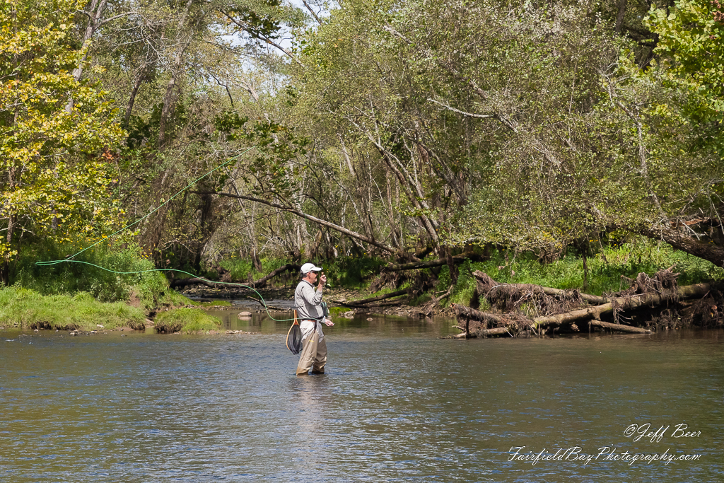
Fly In The Sky 2 of 2
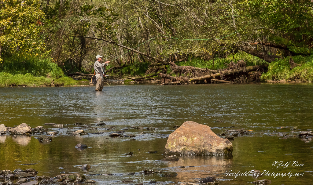
Casting Call?

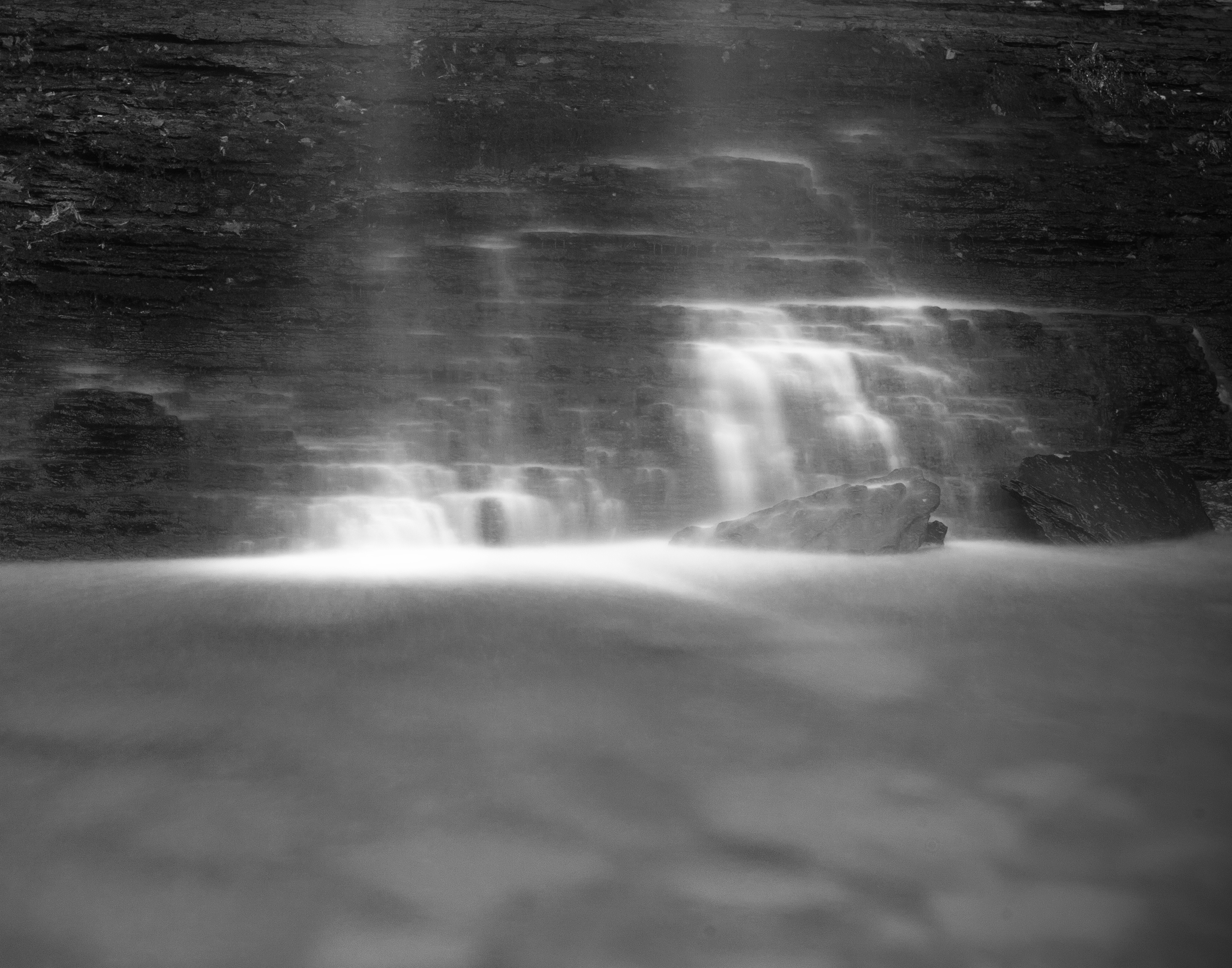
Behind the Aqua Curtain
Bridal Veil Falls
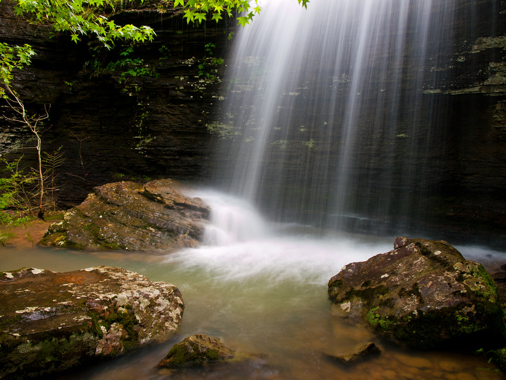
Bridal Veil Falls
Meet Cornelius...
Down from Bridal Veil
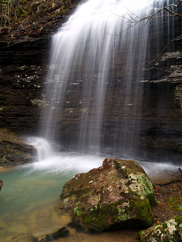
Bridal Veil Falls
Bridal Veil Falls
Topographic Map of Cadron Township, AR, USA
Find elevation by address:

Places in Cadron Township, AR, USA:
Places near Cadron Township, AR, USA:
Sidon Rd, Rose Bud, AR, USA
Mountain Township
Pickens Township
Marion Township
AR-, Heber Springs, AR, USA
Pangburn Rd, Heber Springs, AR, USA
Primrose Creek Swimming Pool
5780 Pangburn Rd
Letona
Sugar Loaf Township
Main St, Pangburn, AR, USA
Pangburn
Ar-16 & Ar-5
Heber Township
Albion Township
Cleburne County
117 E Main St
AR-16, Searcy, AR, USA
199 Todd Rd
Heber Springs
Recent Searches:
- Elevation of Laurel Rd, Townsend, TN, USA
- Elevation of 3 Nestling Wood Dr, Long Valley, NJ, USA
- Elevation of Ilungu, Tanzania
- Elevation of Yellow Springs Road, Yellow Springs Rd, Chester Springs, PA, USA
- Elevation of Rēzekne Municipality, Latvia
- Elevation of Plikpūrmaļi, Vērēmi Parish, Rēzekne Municipality, LV-, Latvia
- Elevation of 2 Henschke Ct, Caboolture QLD, Australia
- Elevation of Redondo Ave, Long Beach, CA, USA
- Elevation of Sadovaya Ulitsa, 20, Rezh, Sverdlovskaya oblast', Russia
- Elevation of Ulitsa Kalinina, 79, Rezh, Sverdlovskaya oblast', Russia