Elevation of Pangburn, AR, USA
Location: United States > Arkansas > White County > Big Creek Township >
Longitude: -91.836809
Latitude: 35.4267476
Elevation: 109m / 358feet
Barometric Pressure: 100KPa
Elevation Map:
Satellite Map:
Related Photos:

fishin' buddies
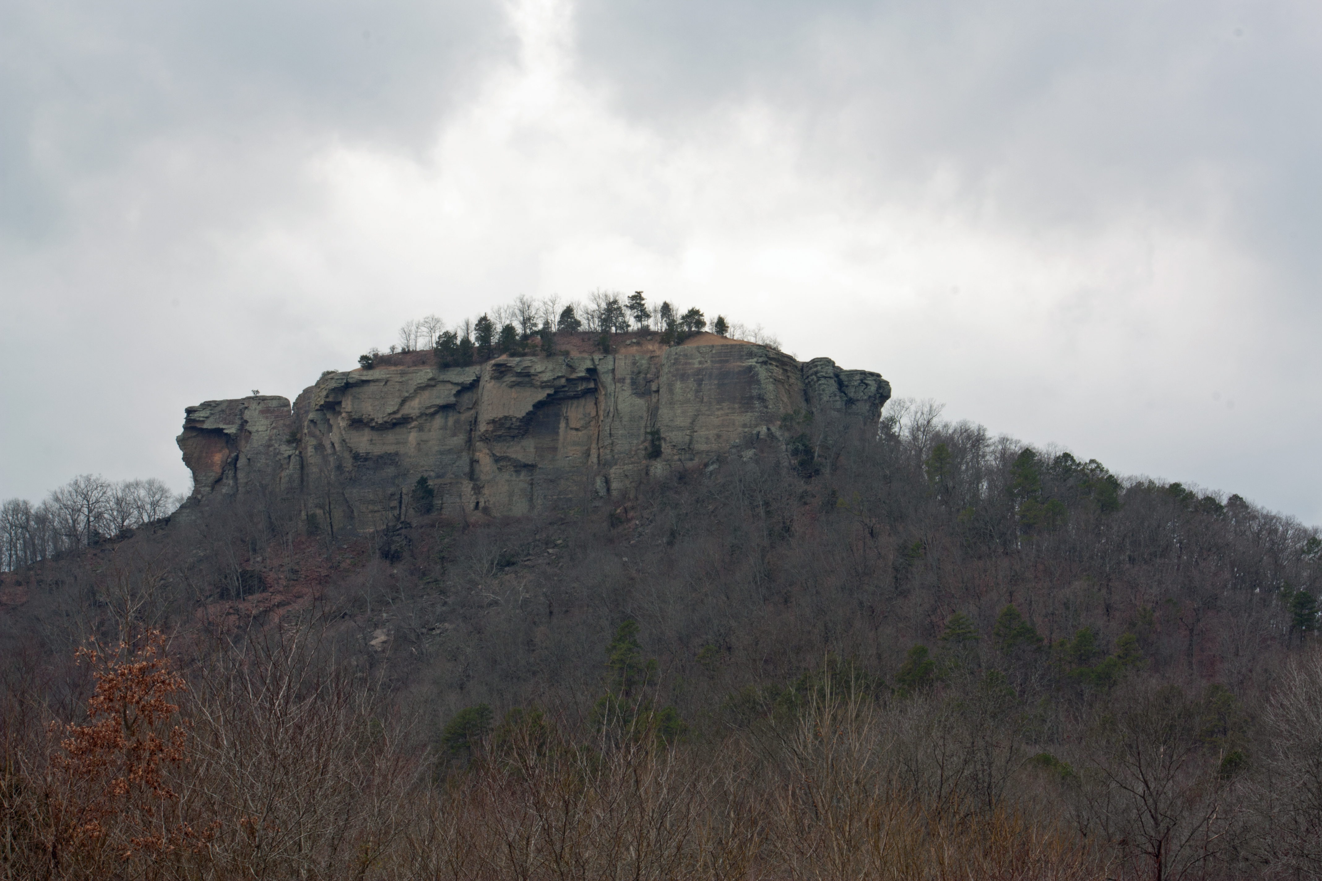
Sugarloaf Mountain
Hog Foot Creek-Top View
Hog Foot Creek-Side View
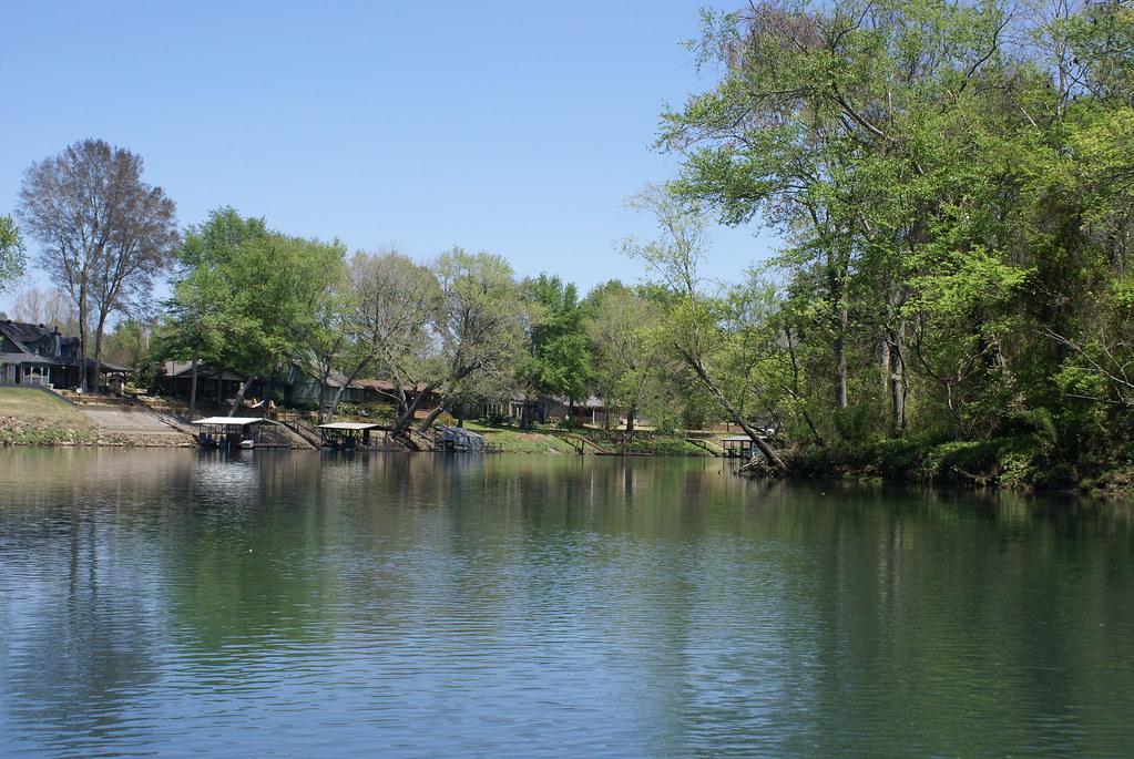
Magness Lake

Faith and obedience will remove mountains, mountains of evil, mountains of difficulty. But they must go hand in hand; or perhaps foot in foot.

2014.06.21

Breath of Mist
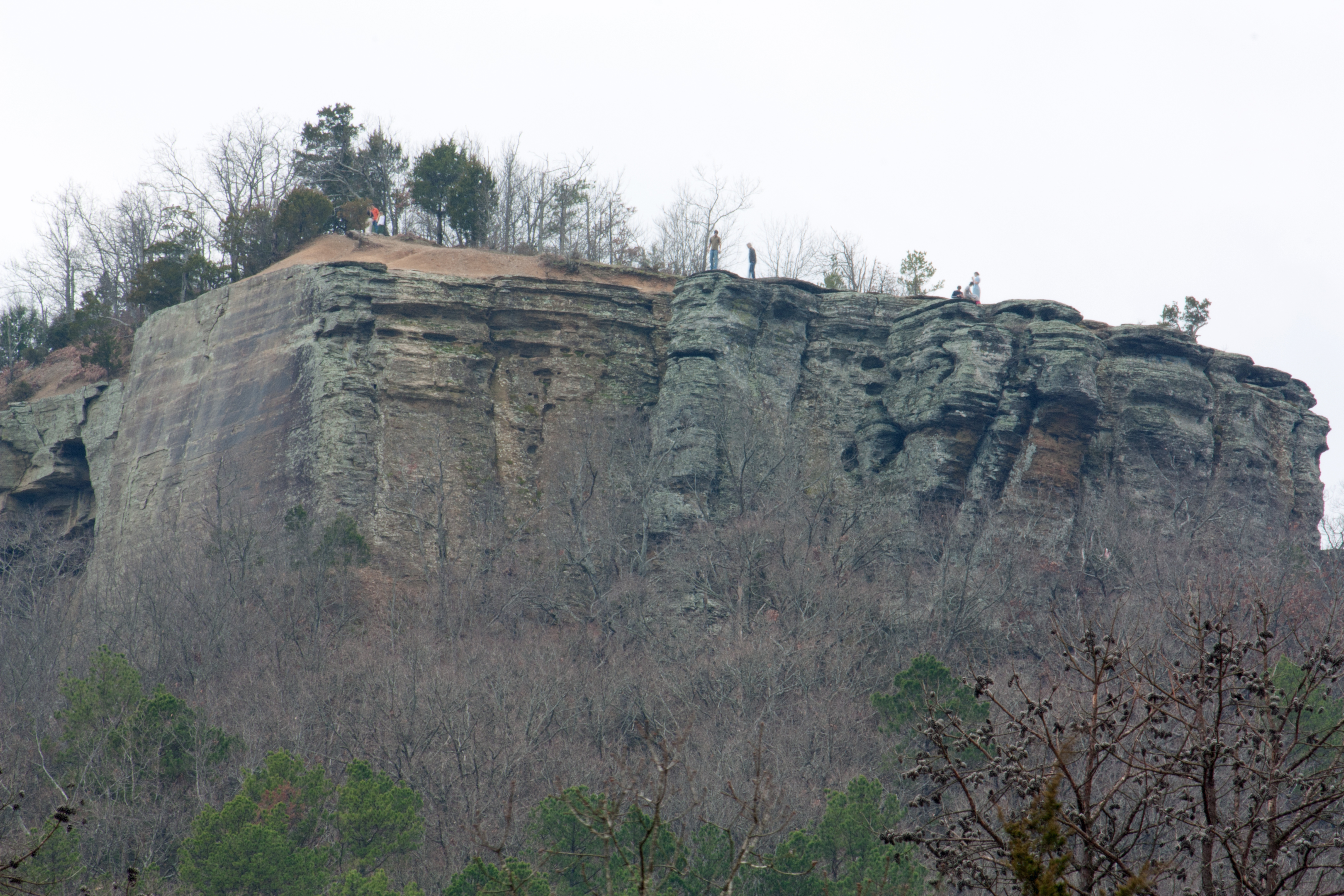
The Rock
little red river at swinging bridge
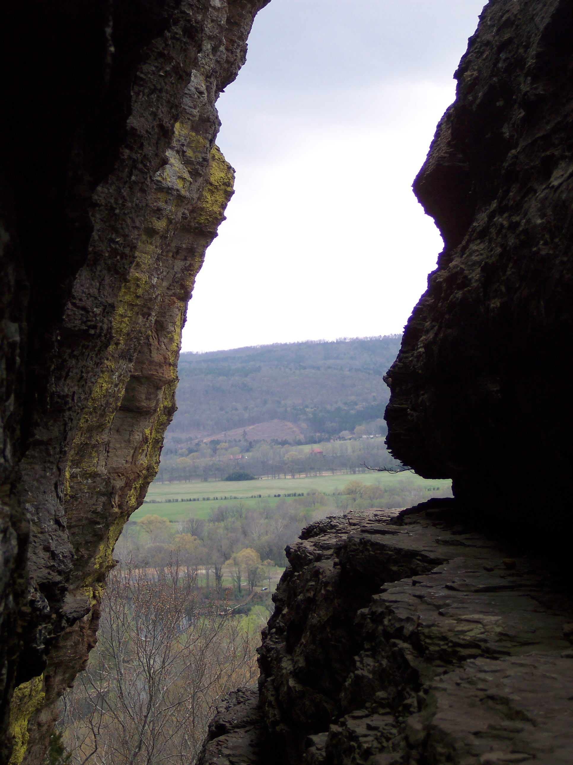
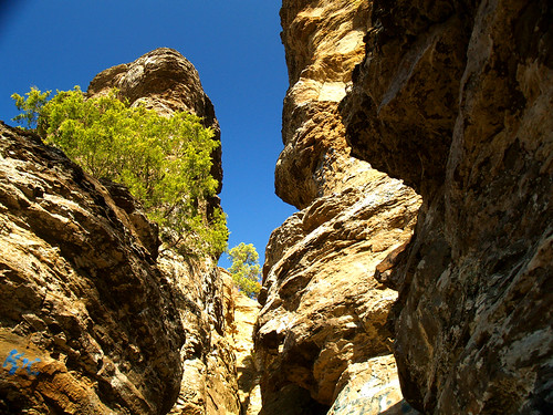
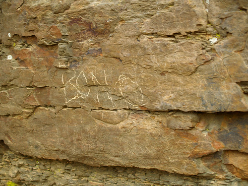
Slanted Crevice

Sugar Loaf Vista

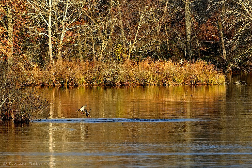
Swans taking off
On the Edge
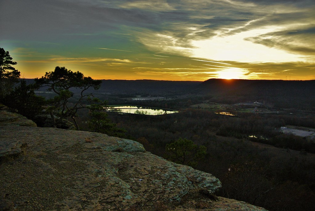
Sugar Loaf Mt. Sunset
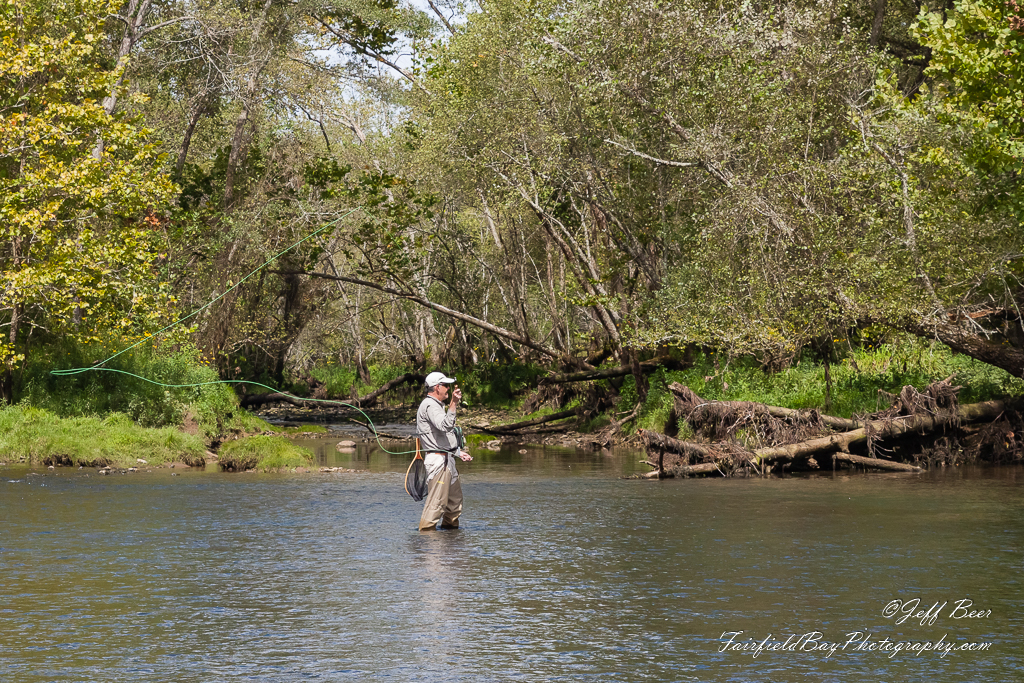
Fly In The Sky 1 of 2
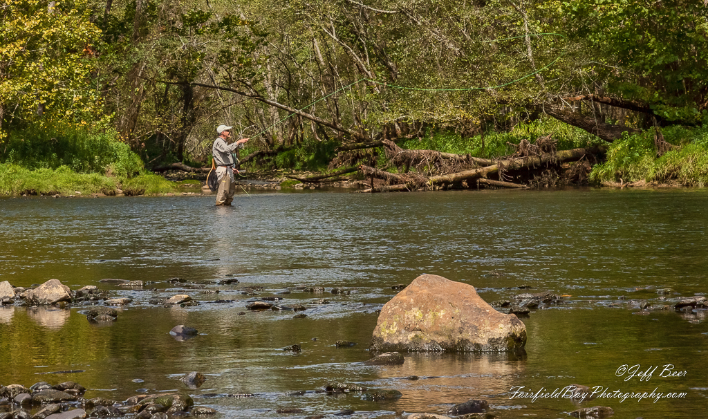
Fly In The Sky 2 of 2
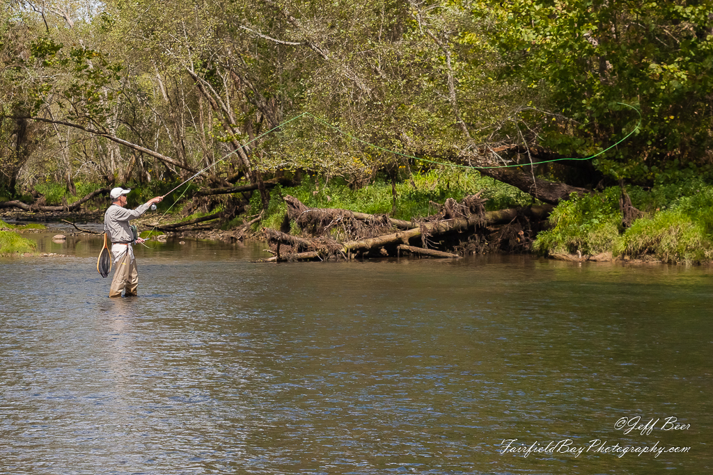
Casting Call?
And that's why he didn't win the Nobel Prize
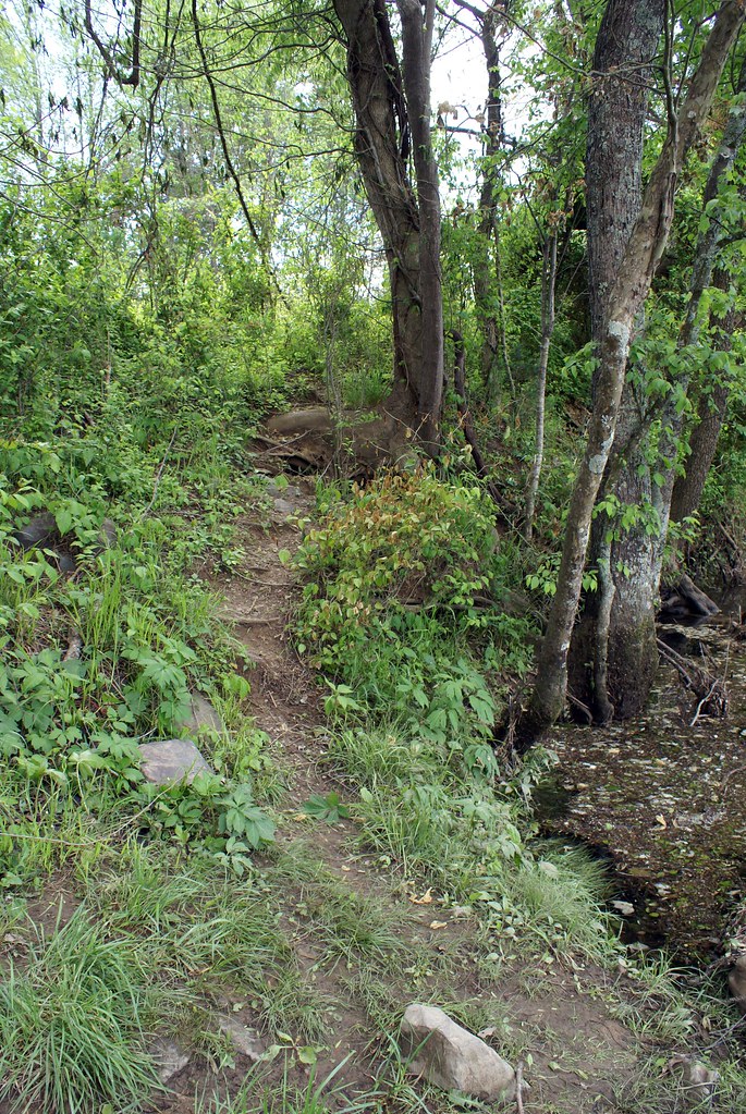
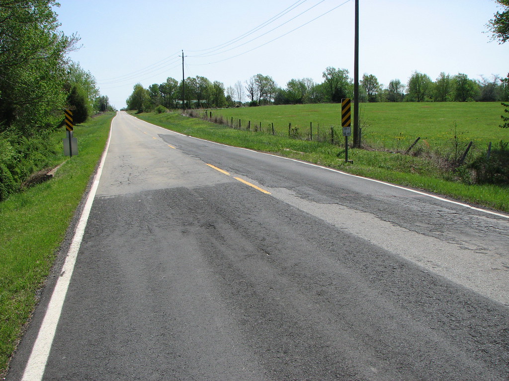
river path
Topographic Map of Pangburn, AR, USA
Find elevation by address:

Places in Pangburn, AR, USA:
Places near Pangburn, AR, USA:
Main St, Pangburn, AR, USA
5780 Pangburn Rd
Big Creek Township
Pangburn Rd, Heber Springs, AR, USA
Pickens Township
Letona
Marion Township
AR-16, Searcy, AR, USA
AR-, Heber Springs, AR, USA
Albion Township
Primrose Creek Swimming Pool
Sugar Loaf Township
Sidon Rd, Rose Bud, AR, USA
Mountain Township
Cadron Township
Heber Township
117 E Main St
Heber Springs
Heber Springs High School
Ar-16 & Ar-5
Recent Searches:
- Elevation of Great Brook Sports, Gold Star Hwy, Groton, CT, USA
- Elevation of 10 Mountain Laurels Dr, Nashua, NH, USA
- Elevation of 16 Gilboa Ln, Nashua, NH, USA
- Elevation of Laurel Rd, Townsend, TN, USA
- Elevation of 3 Nestling Wood Dr, Long Valley, NJ, USA
- Elevation of Ilungu, Tanzania
- Elevation of Yellow Springs Road, Yellow Springs Rd, Chester Springs, PA, USA
- Elevation of Rēzekne Municipality, Latvia
- Elevation of Plikpūrmaļi, Vērēmi Parish, Rēzekne Municipality, LV-, Latvia
- Elevation of 2 Henschke Ct, Caboolture QLD, Australia