Elevation of Clay Township, AR, USA
Location: United States > Arkansas > White County >
Longitude: -91.744147
Latitude: 35.367004
Elevation: 105m / 344feet
Barometric Pressure: 100KPa
Elevation Map:
Satellite Map:
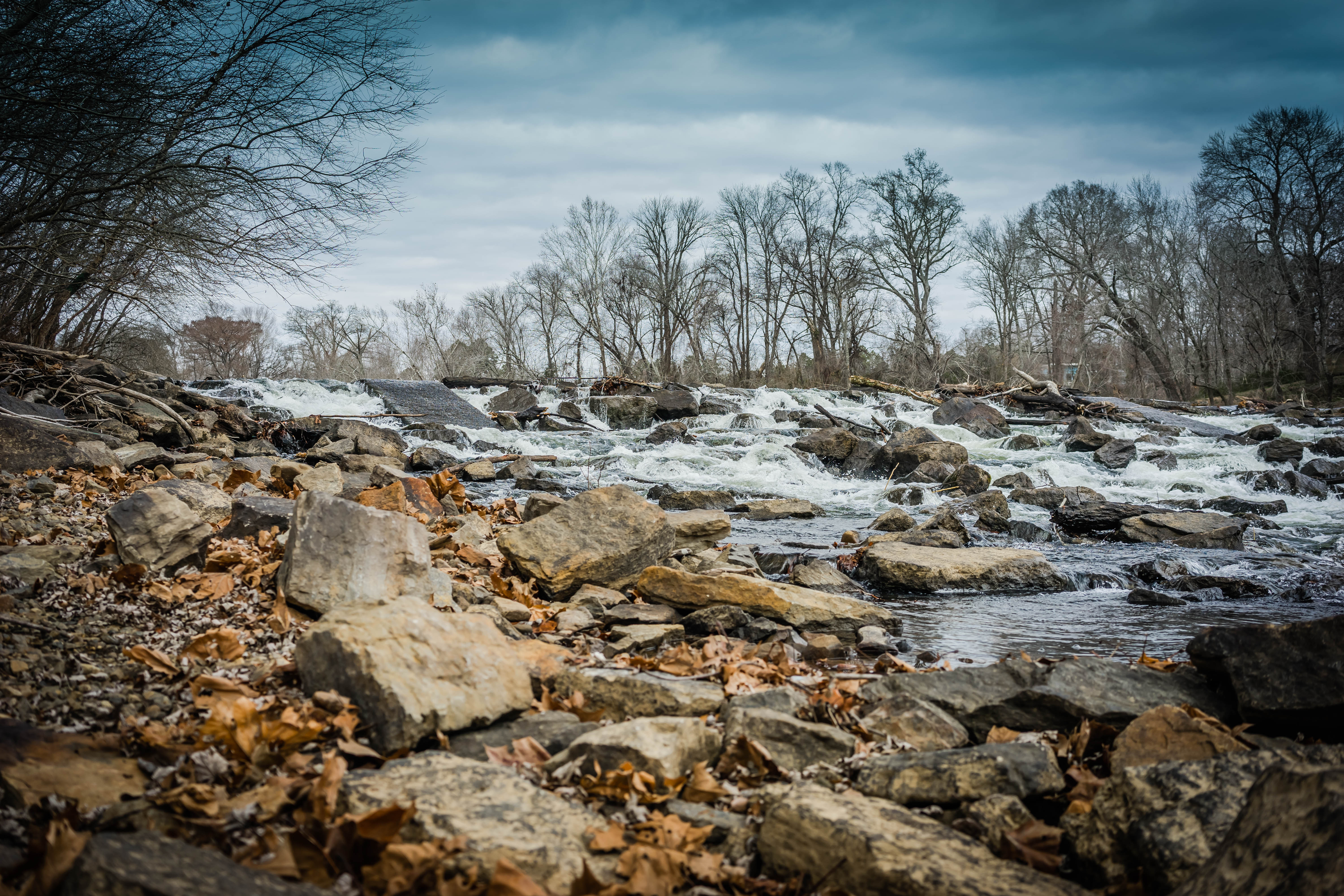
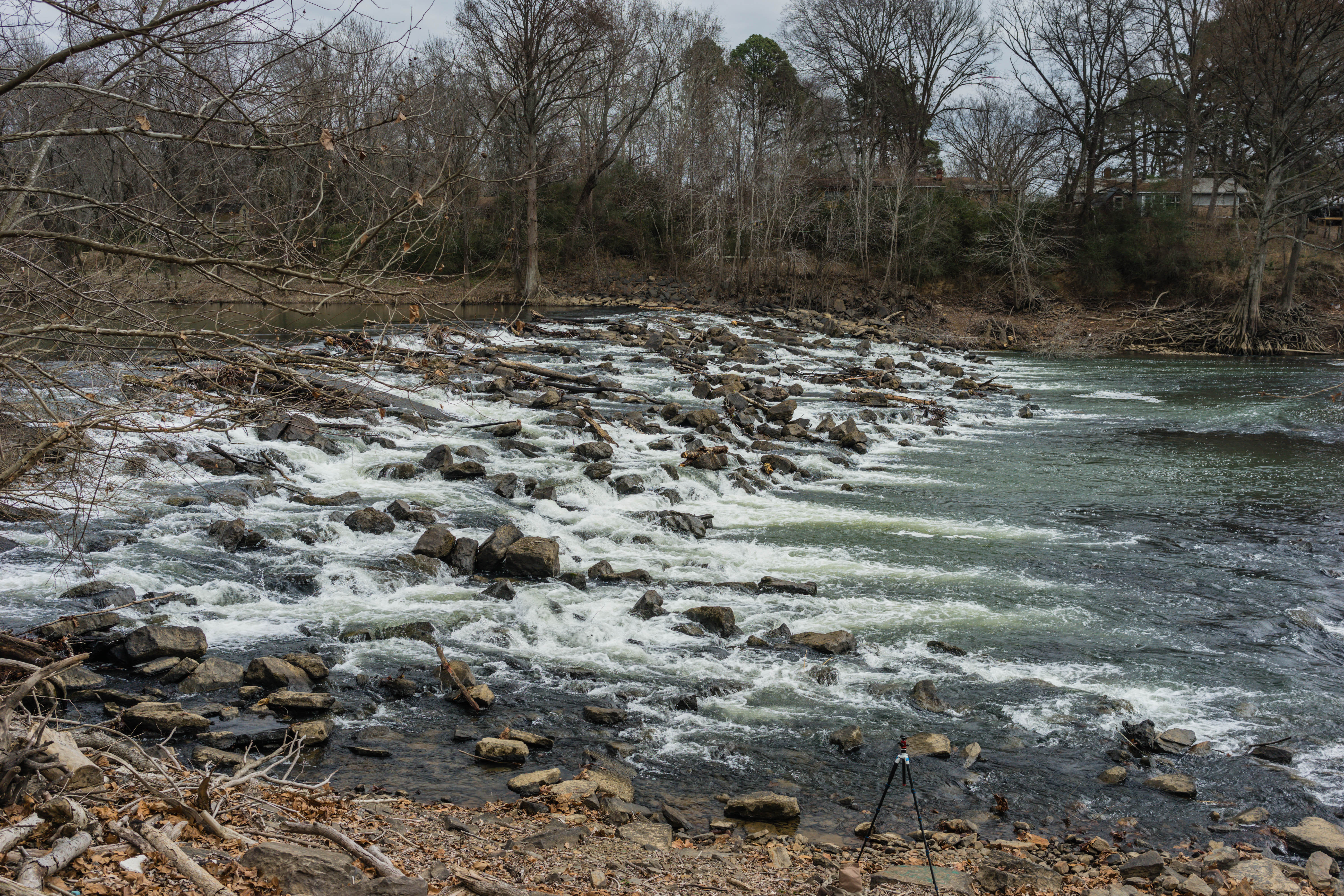
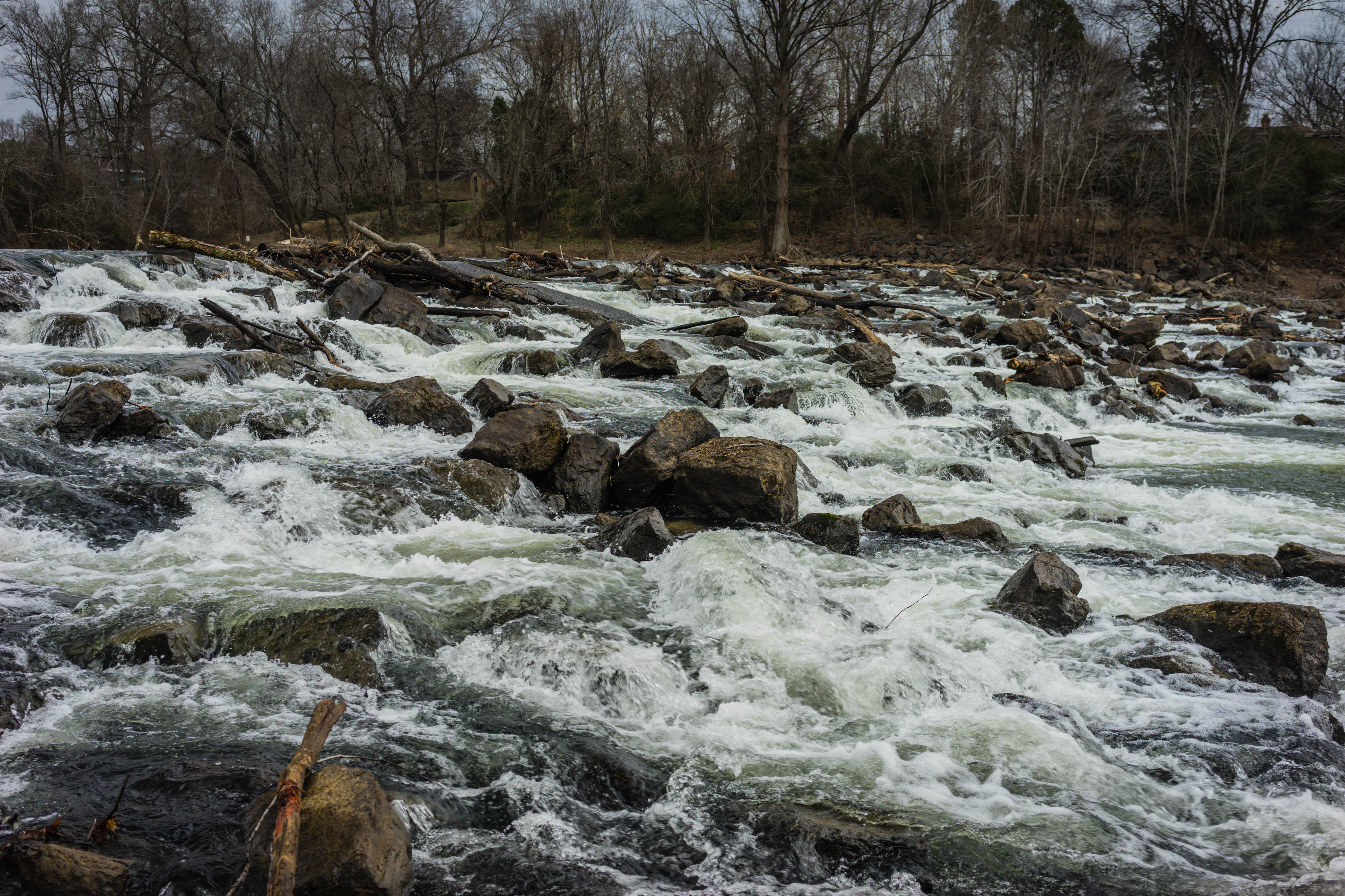
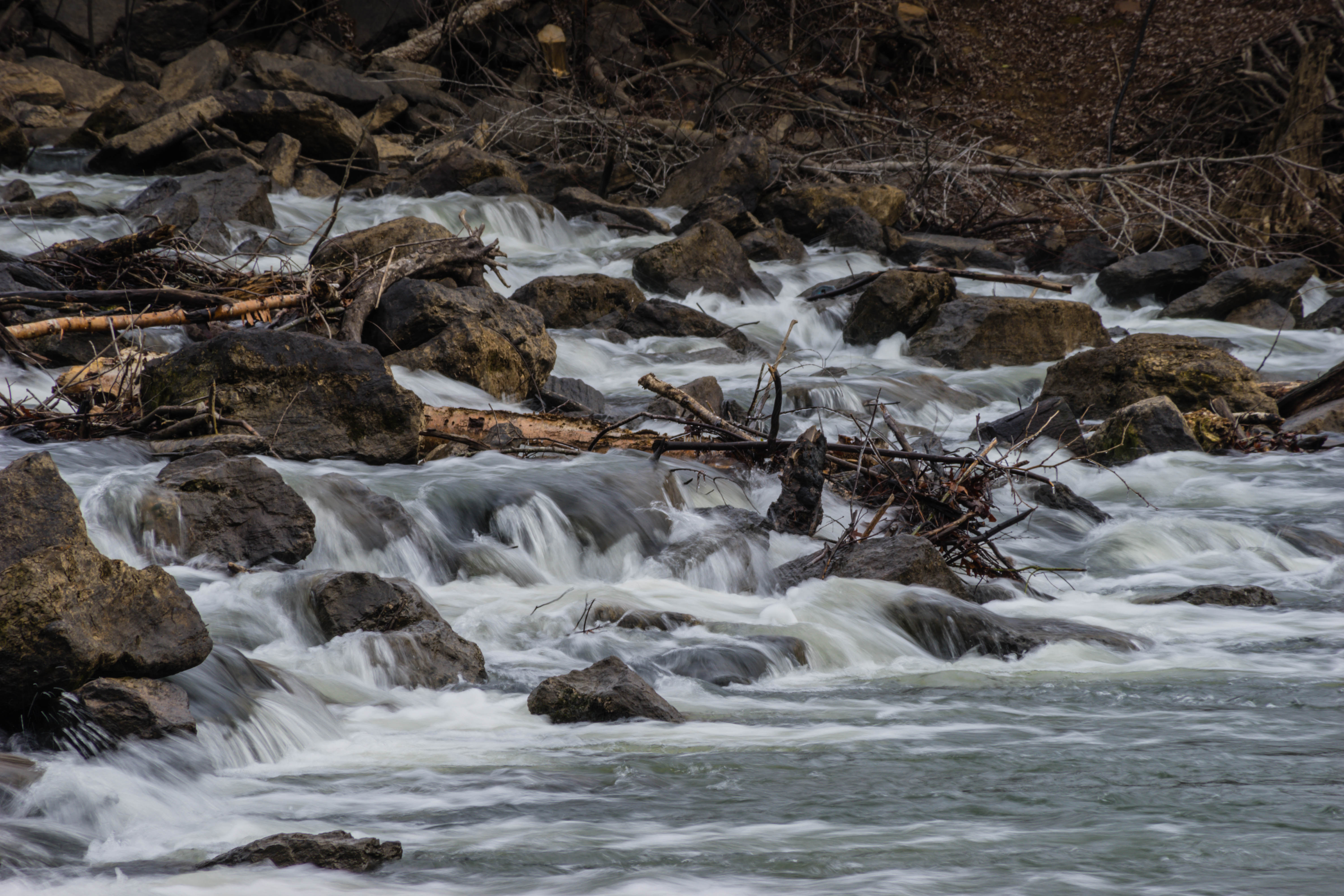
Related Photos:

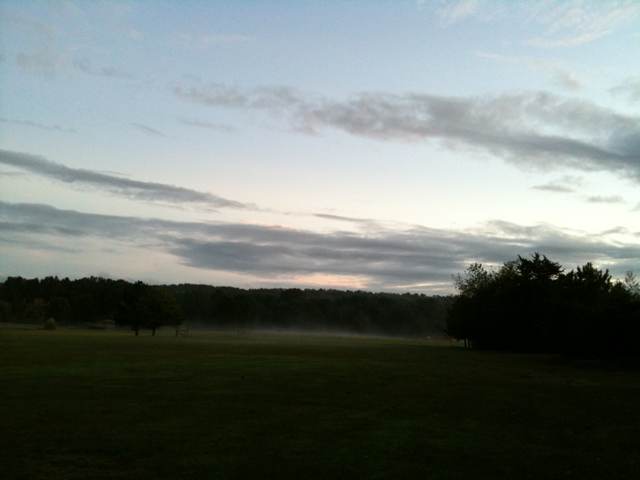
Early morning fall colors
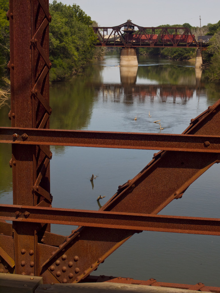
Dueling Bridges
The view behind Boomers
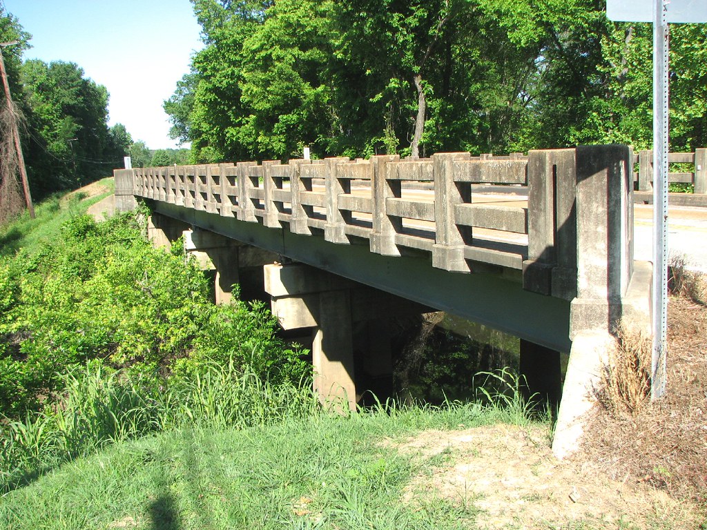
Corley Branch Bridge-Side View

Fall pathway

Happy Christmas (War is Over)
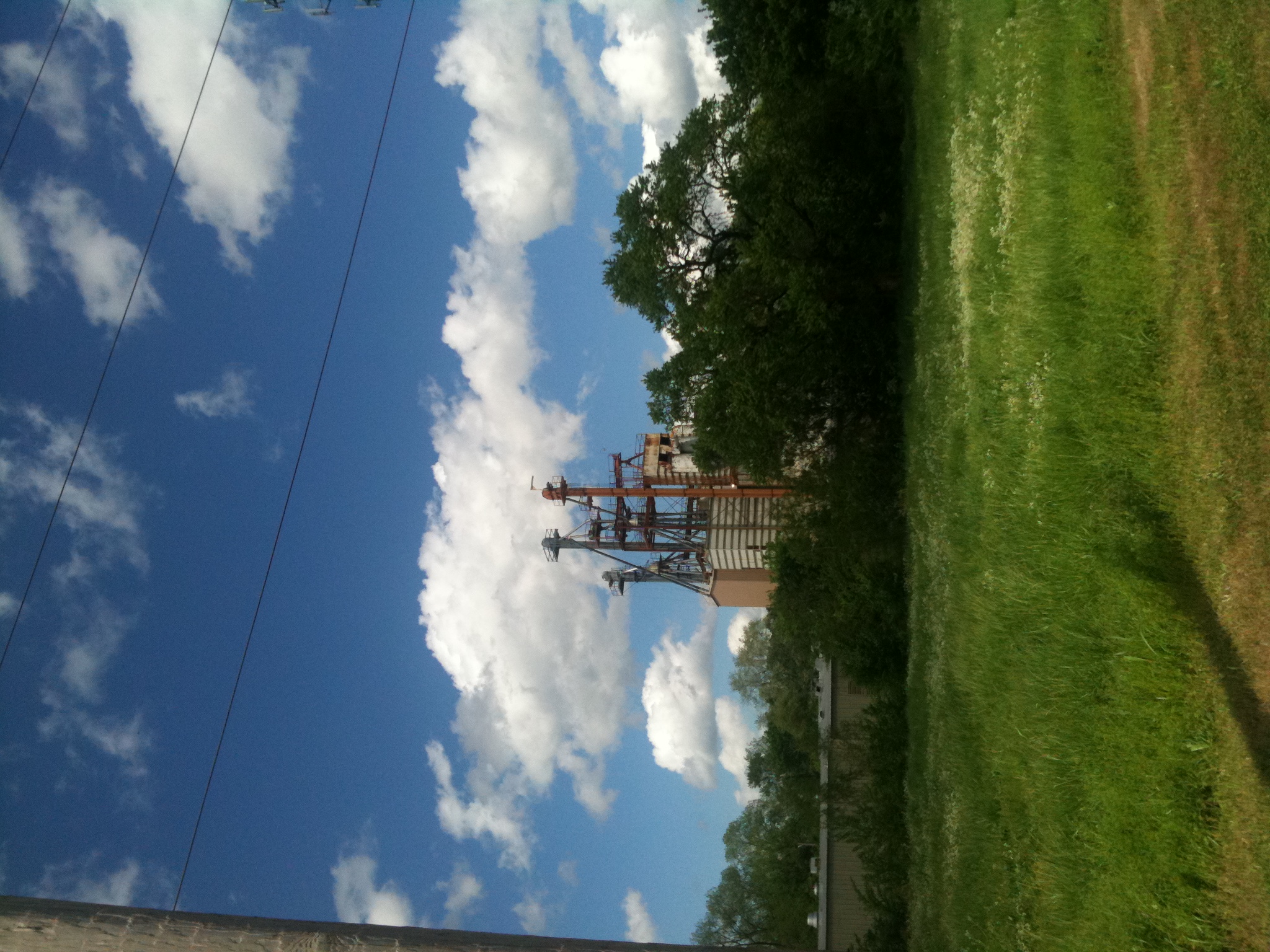
Old Feed Factory
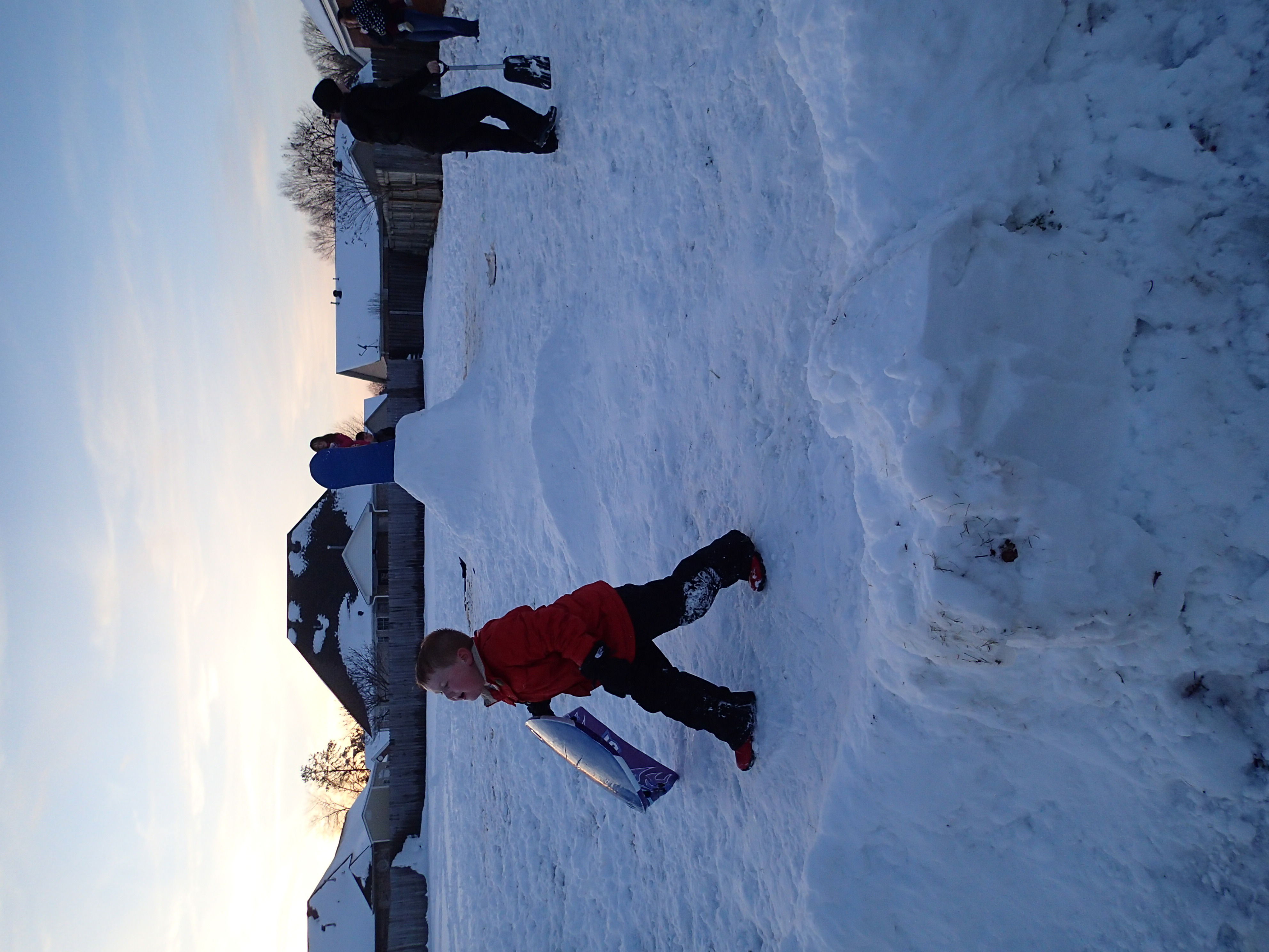
2012-12-26 at 17-56-38
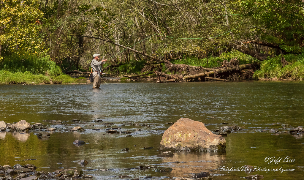
Fly In The Sky 1 of 2

Fly In The Sky 2 of 2
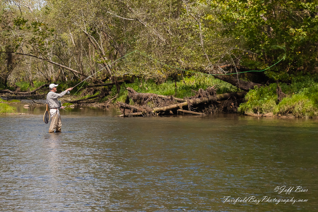
Casting Call?
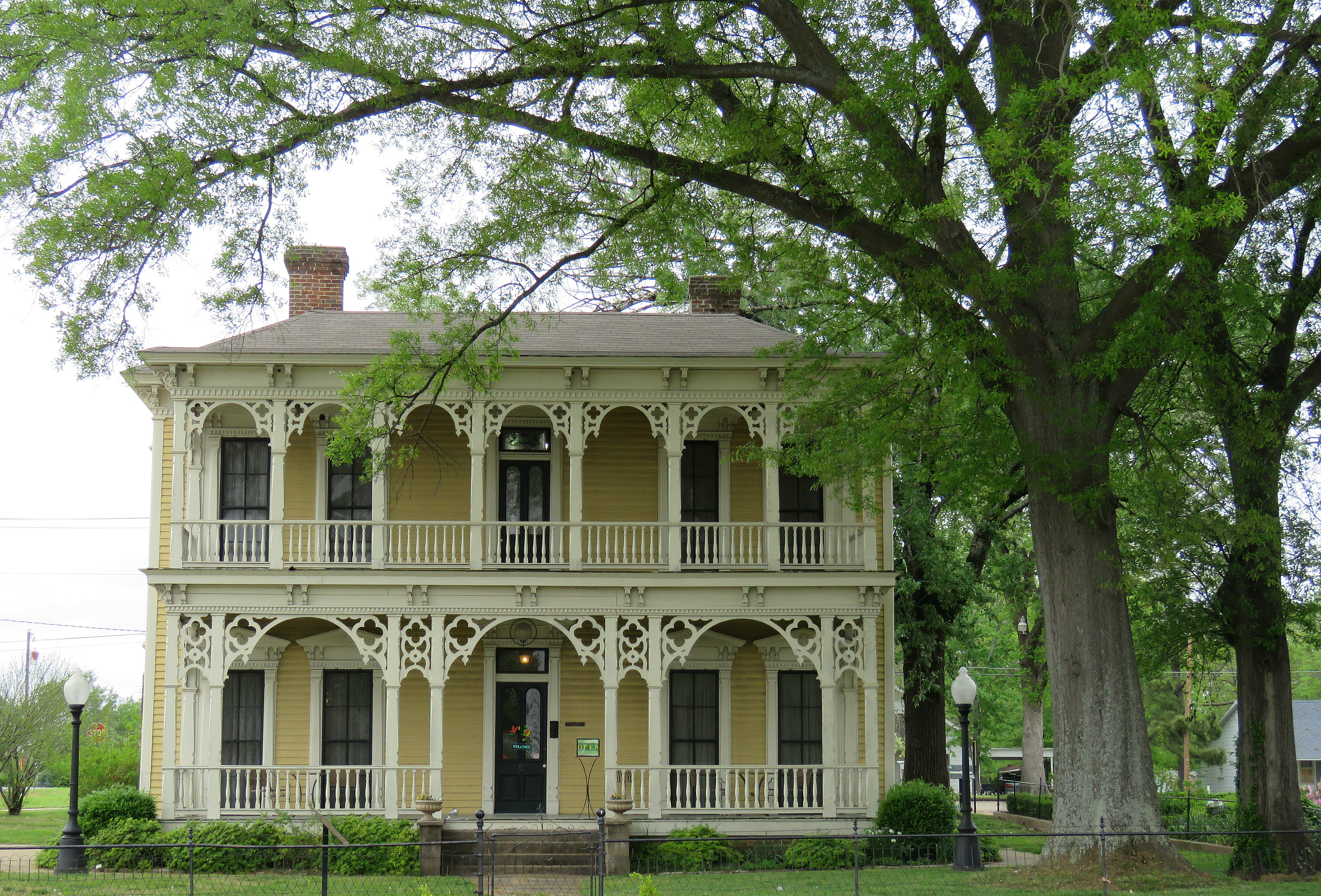
Searcy gingerbread
_DSC0722.jpg
_DSC0703.jpg

_DSC0702.jpg
_DSC0689.jpg

_DSC0668.jpg

_DSC0662.jpg
_DSC0659.jpg

_DSC0657.jpg
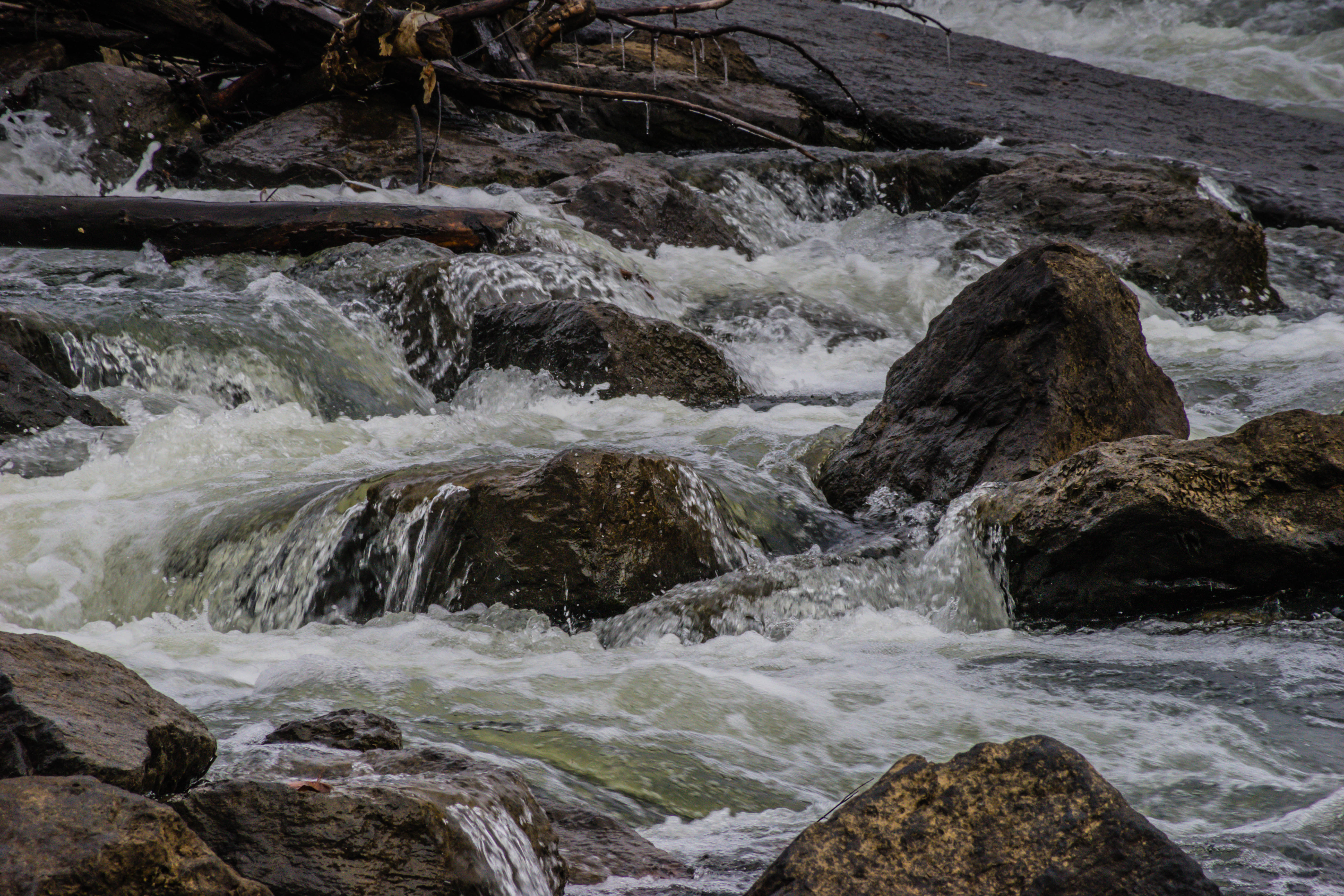
_DSC0656.jpg
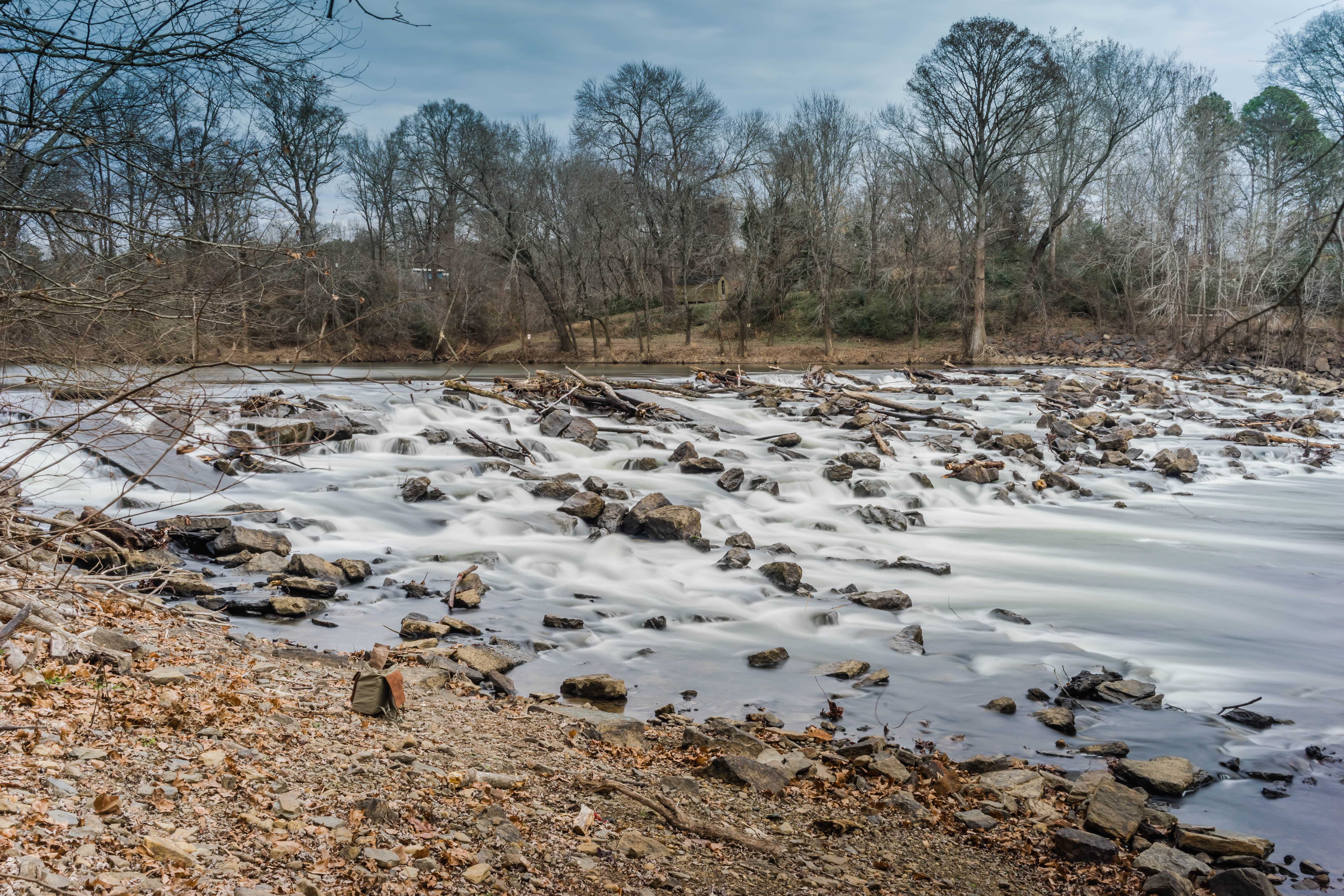
_DSC0654.jpg
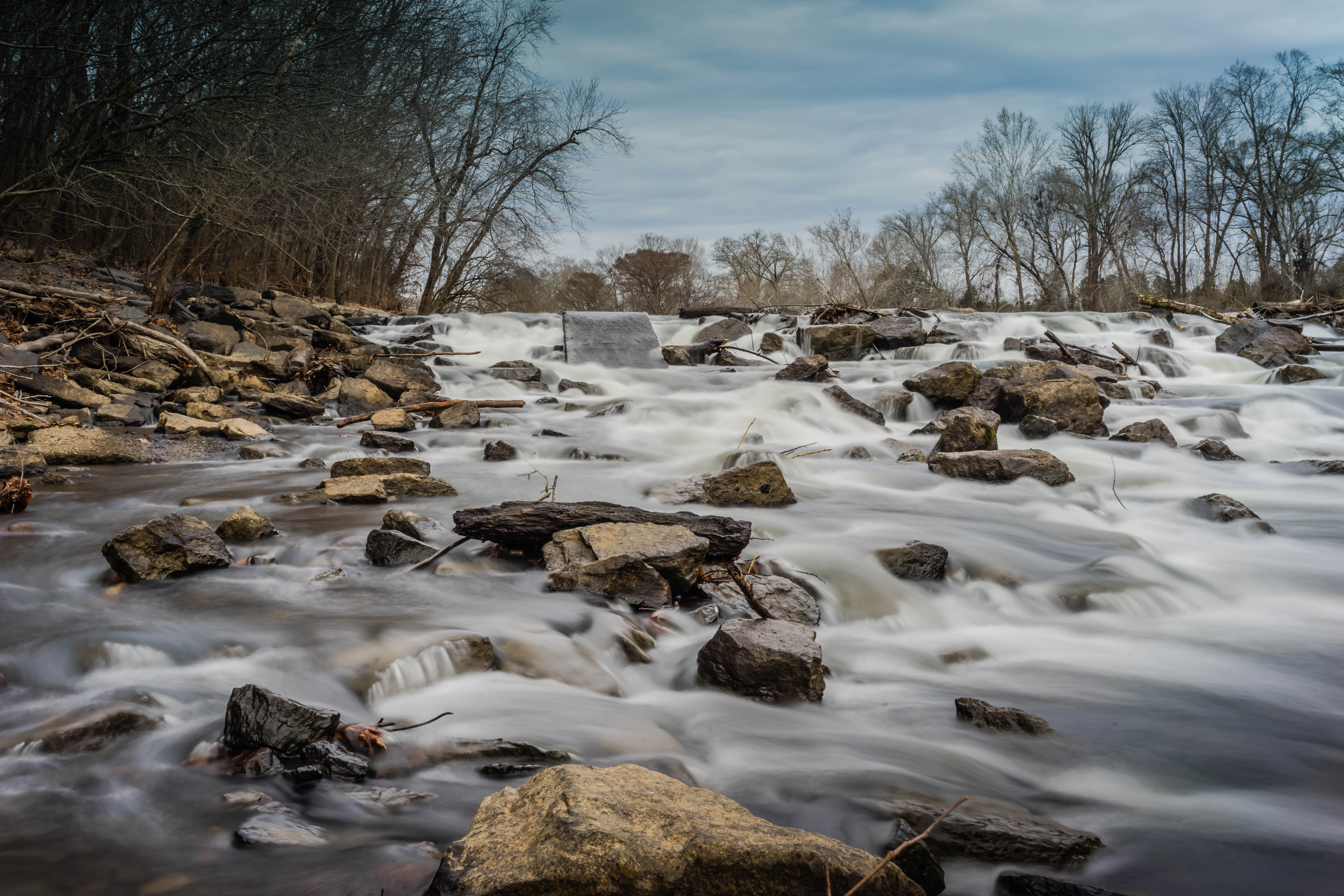
_DSC0647.jpg

_DSC0644.jpg
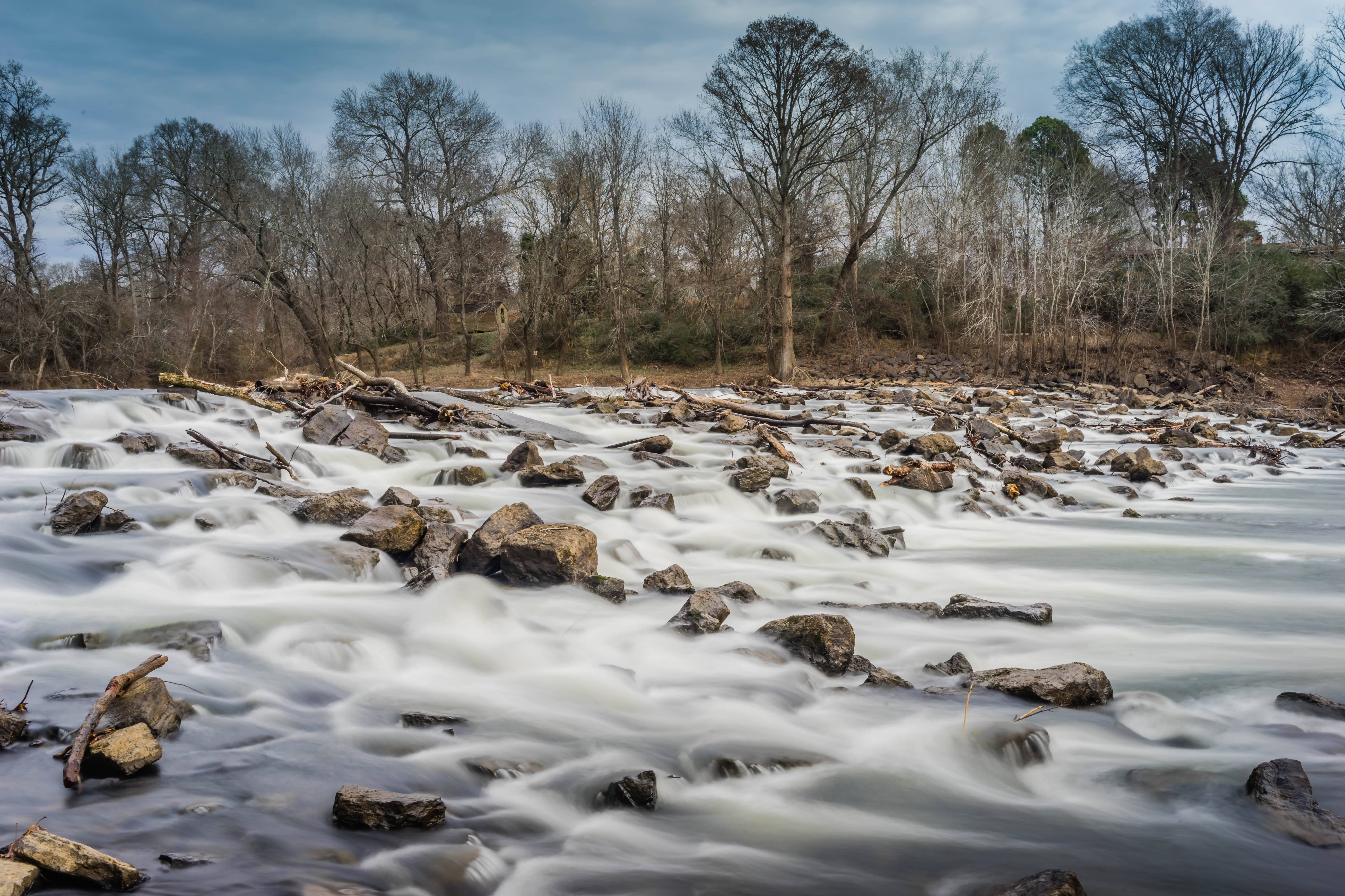
_DSC0639.jpg
Topographic Map of Clay Township, AR, USA
Find elevation by address:

Places near Clay Township, AR, USA:
299 Pratt Rd
AR-16, Searcy, AR, USA
Albion Township
Warren Rd, Judsonia, AR, USA
AR-16, Searcy, AR, USA
White County
Letona
Hwy N, Judsonia, AR, USA
Big Creek Township
2196 Holmes Rd
Harrison Township
2159 Holmes Rd
2159 Holmes Rd
2159 Holmes Rd
2159 Holmes Rd
Gray Township
Pangburn
Main St, Pangburn, AR, USA
1302 Fox Ave
Marion Township
Recent Searches:
- Elevation of Beall Road, Beall Rd, Florida, USA
- Elevation of Leguwa, Nepal
- Elevation of County Rd, Enterprise, AL, USA
- Elevation of Kolchuginsky District, Vladimir Oblast, Russia
- Elevation of Shustino, Vladimir Oblast, Russia
- Elevation of Lampiasi St, Sarasota, FL, USA
- Elevation of Elwyn Dr, Roanoke Rapids, NC, USA
- Elevation of Congressional Dr, Stevensville, MD, USA
- Elevation of Bellview Rd, McLean, VA, USA
- Elevation of Stage Island Rd, Chatham, MA, USA