Elevation of Waterloo, IL, USA
Location: United States > Illinois > Monroe County >
Longitude: -90.149834
Latitude: 38.3358857
Elevation: 216m / 709feet
Barometric Pressure: 99KPa
Elevation Map:
Satellite Map:
Related Photos:

SP 8014
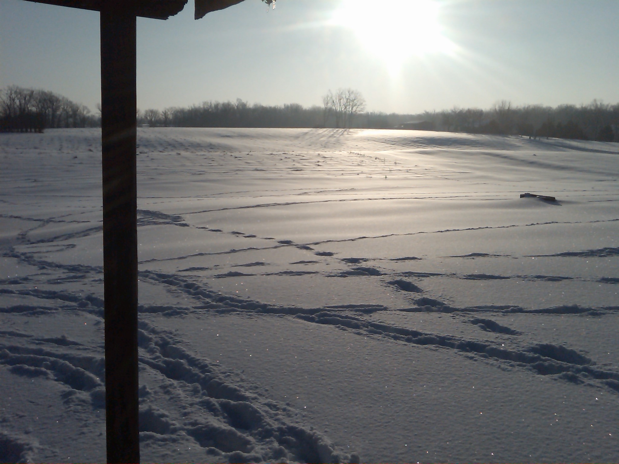
Snow view 1
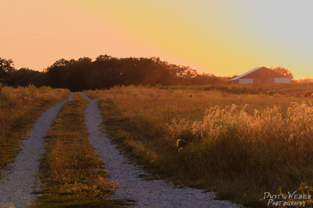
Sunset Road

The view from my office for the day. Tracking for the new @bethbombara rekkid w/@kithamon @caribou32 and @keggers5000 #drums #gigs #onthejob

UP 8030 and UP 4137
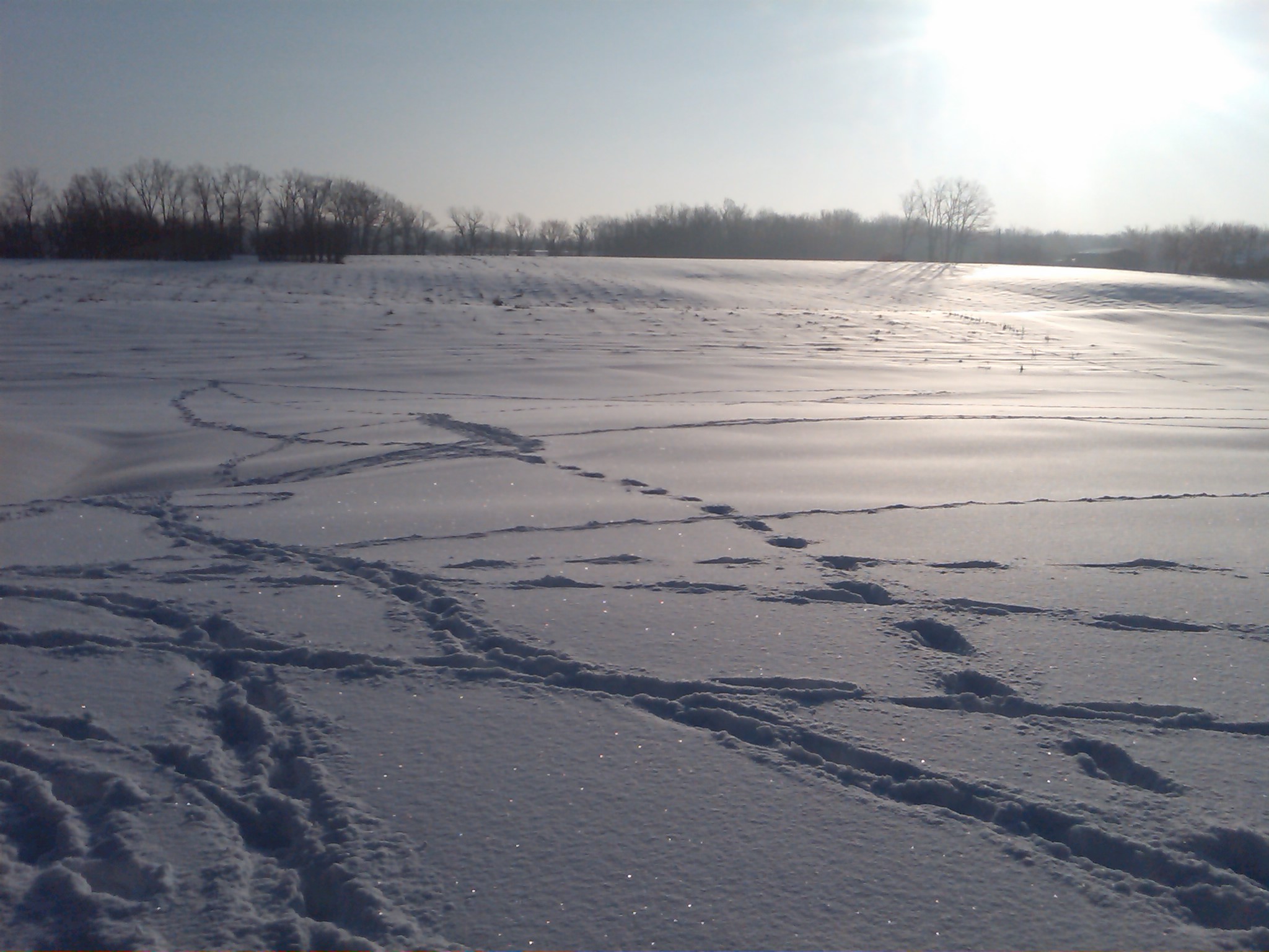
Snow view 2
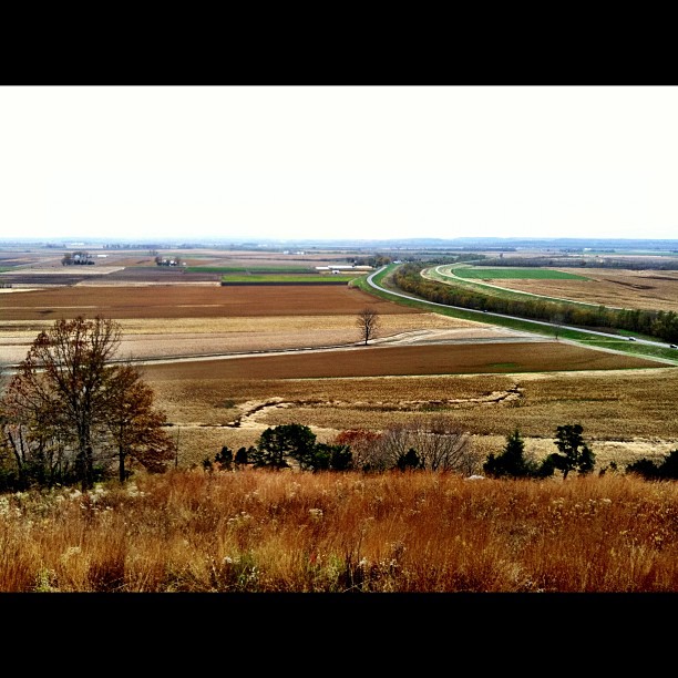
View from the top!

Sideways snow
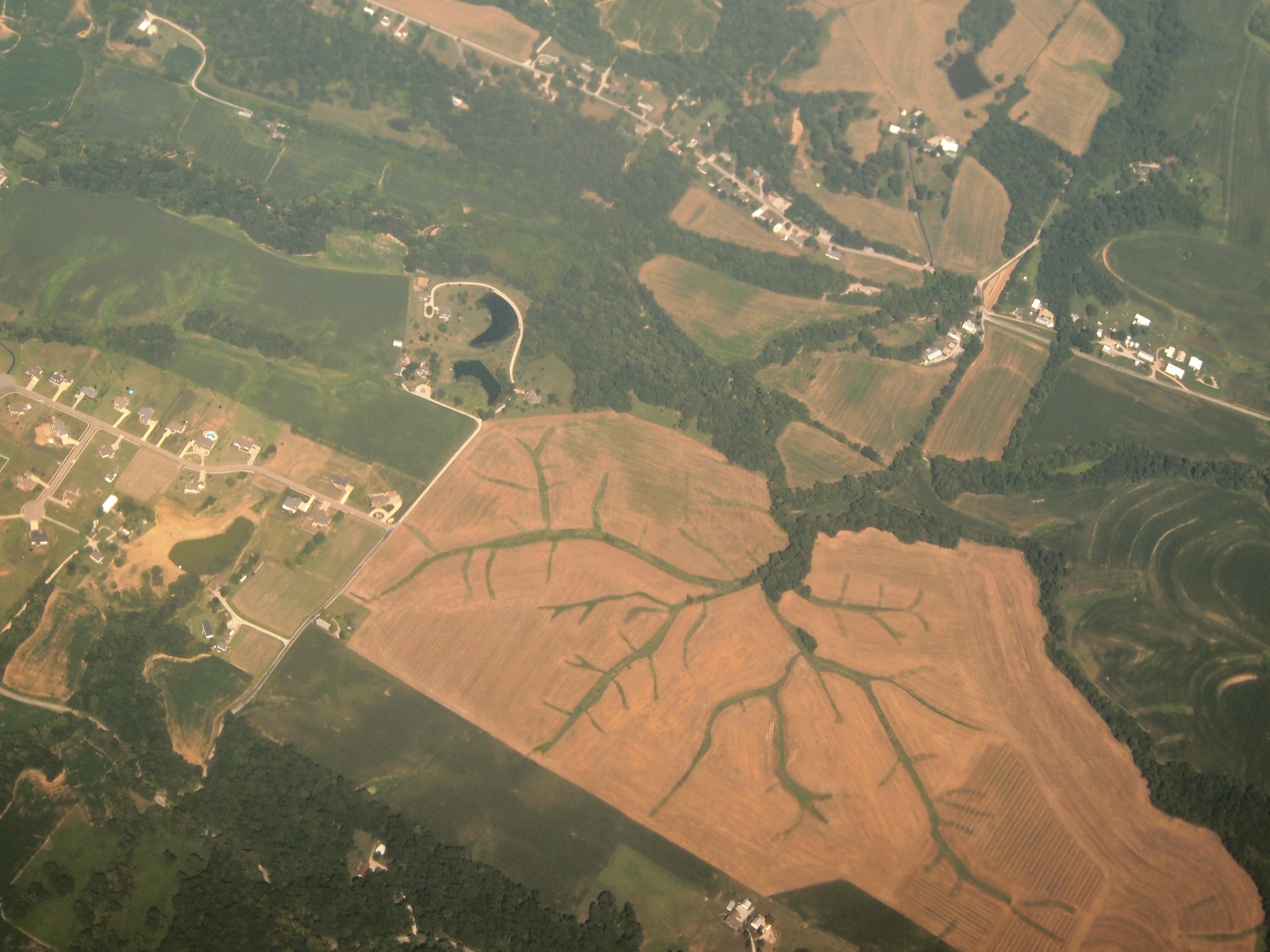
Aerial View of Dendritic Landscape off Gall Rd. South of Columbia, IL_P8025094
603 S. Main, Columbia, IL

Mississippi River bottoms
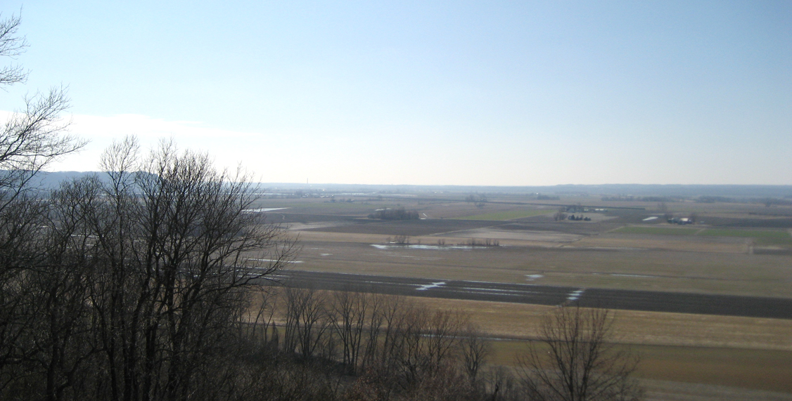
Mississippi River bottoms
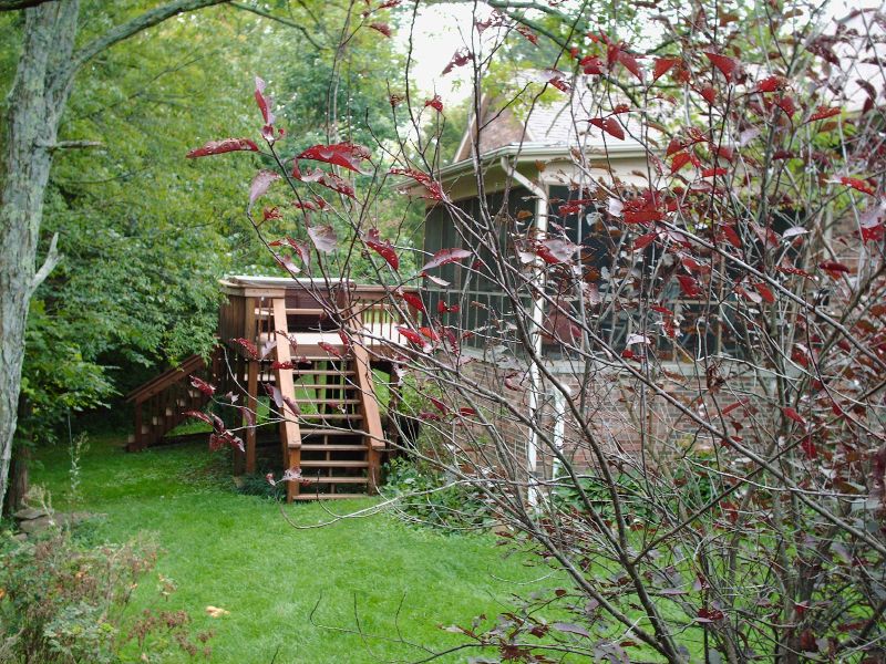
Back deck (view from pool)

Stormy Sunset
Theater -> Bank -> ???

MASEW 25

CNAIM9 13

Sunset storms
Fading away

AEGAS 16

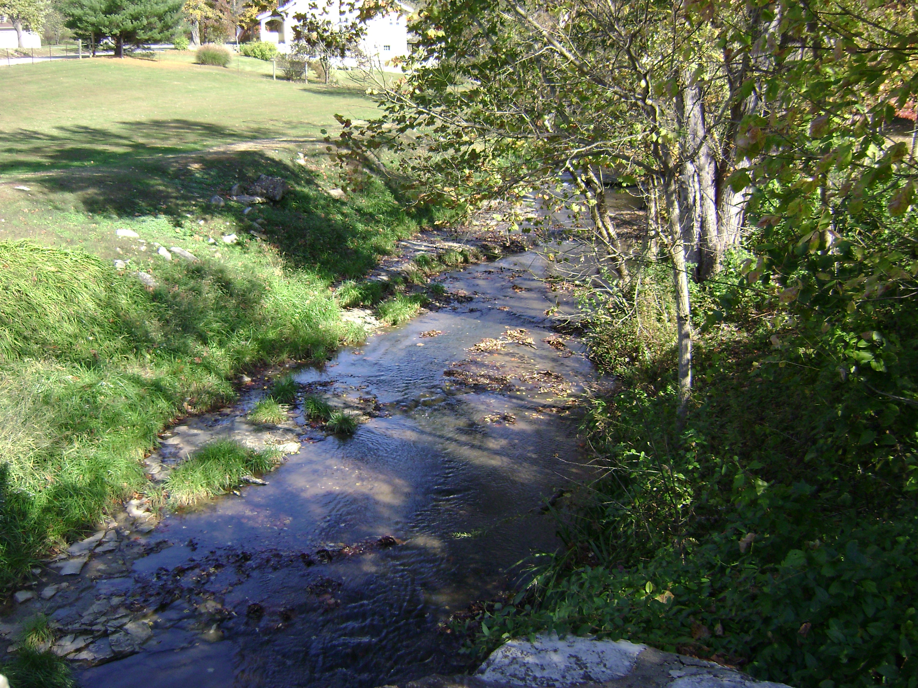
Creek 2
Miles Cemetery
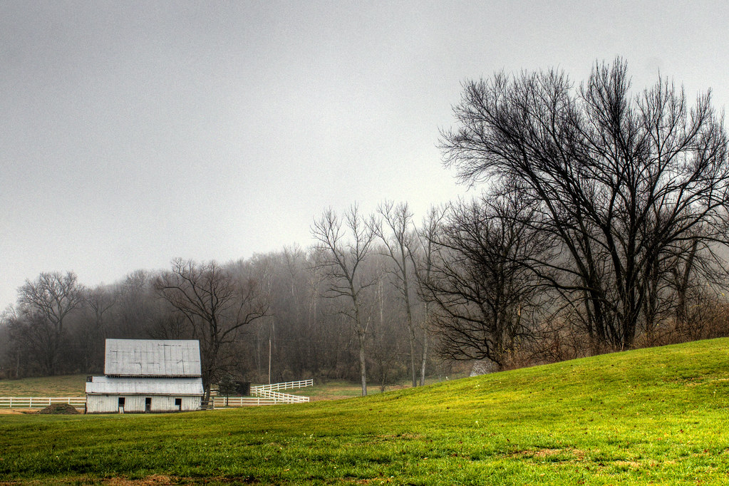
Waterloo Waterworks
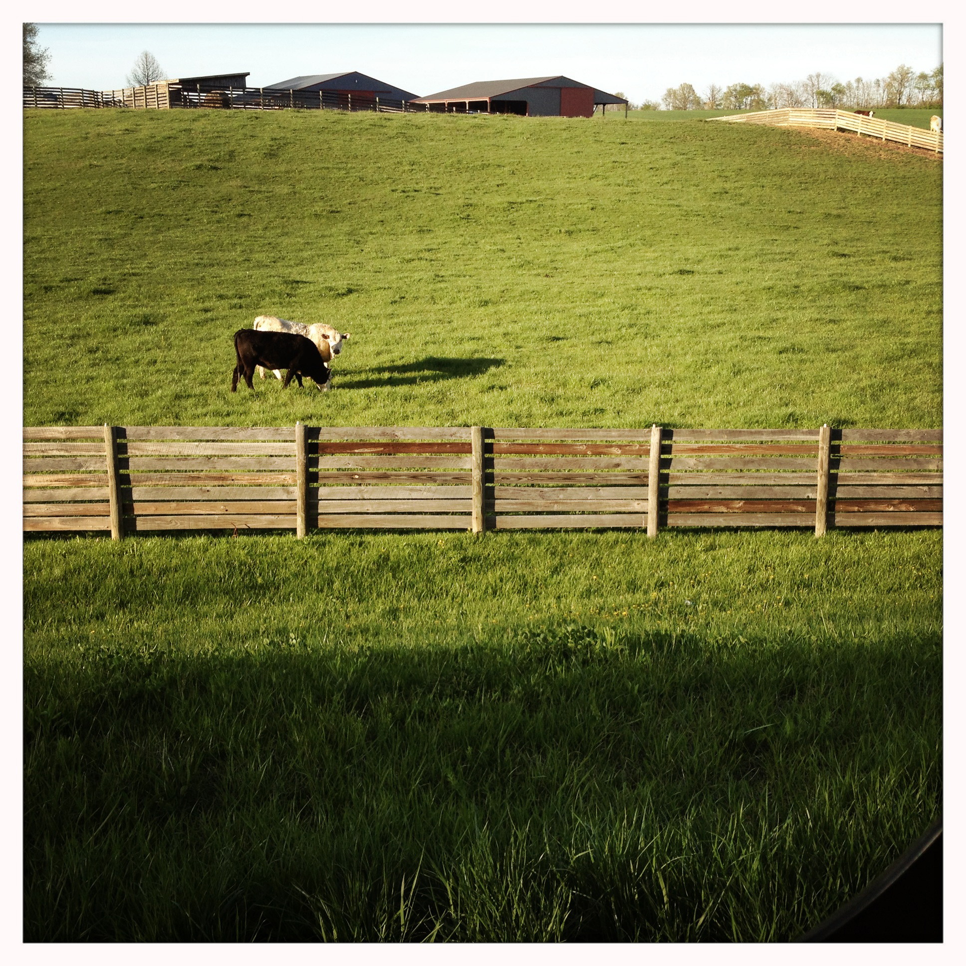
I, too, like cows
Valley Fog
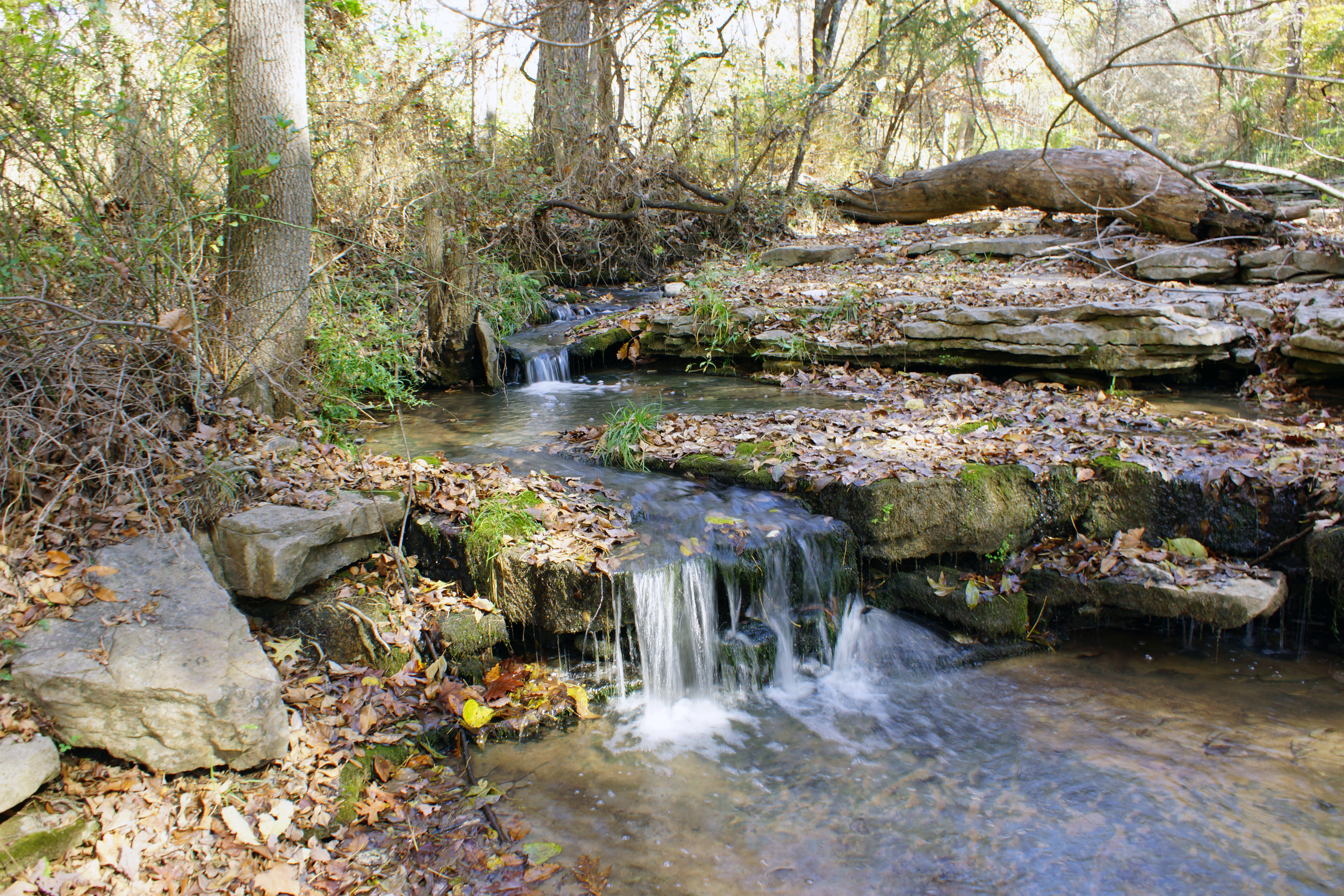
Creek 1

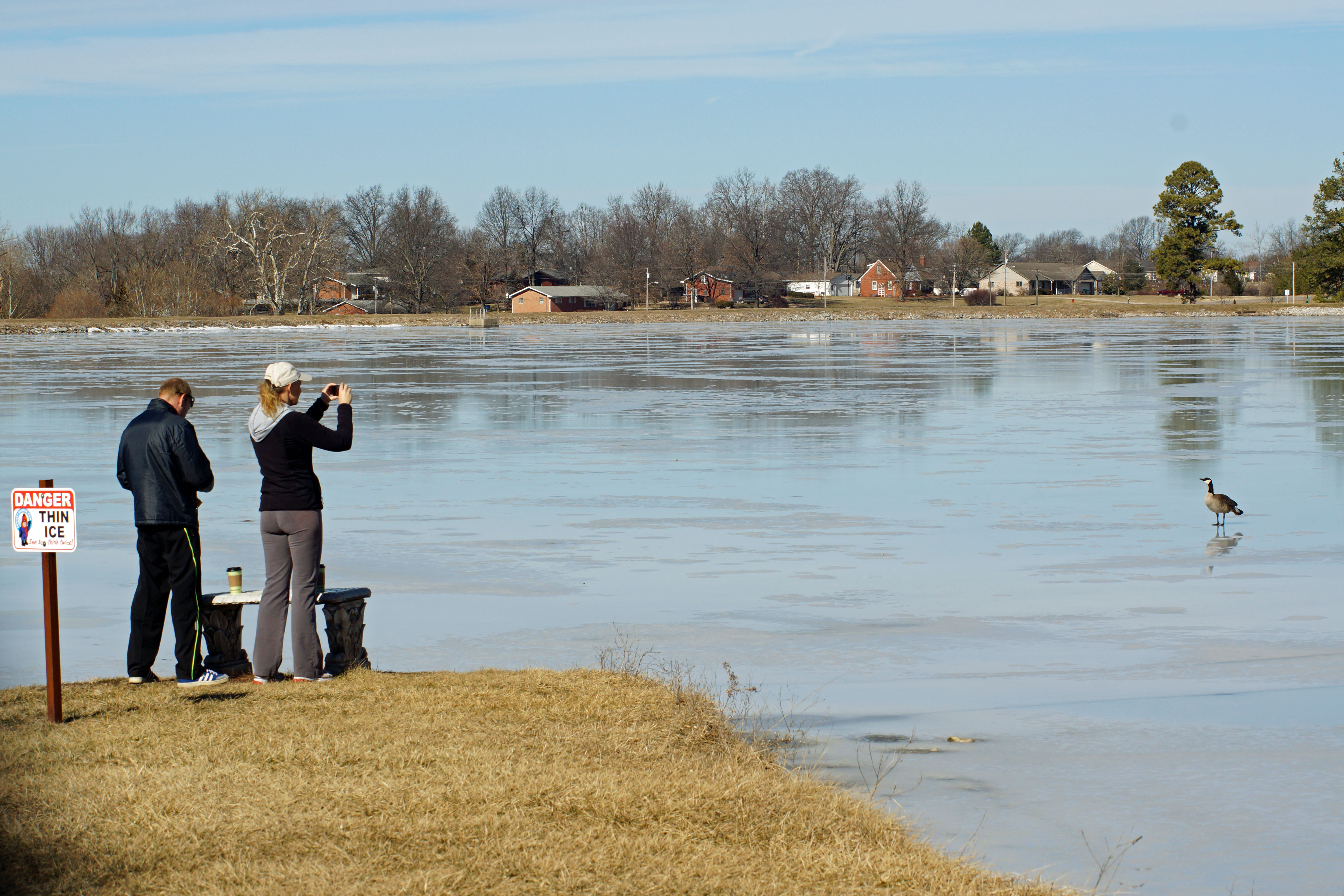
Melting ice

QASLI at Harris Road

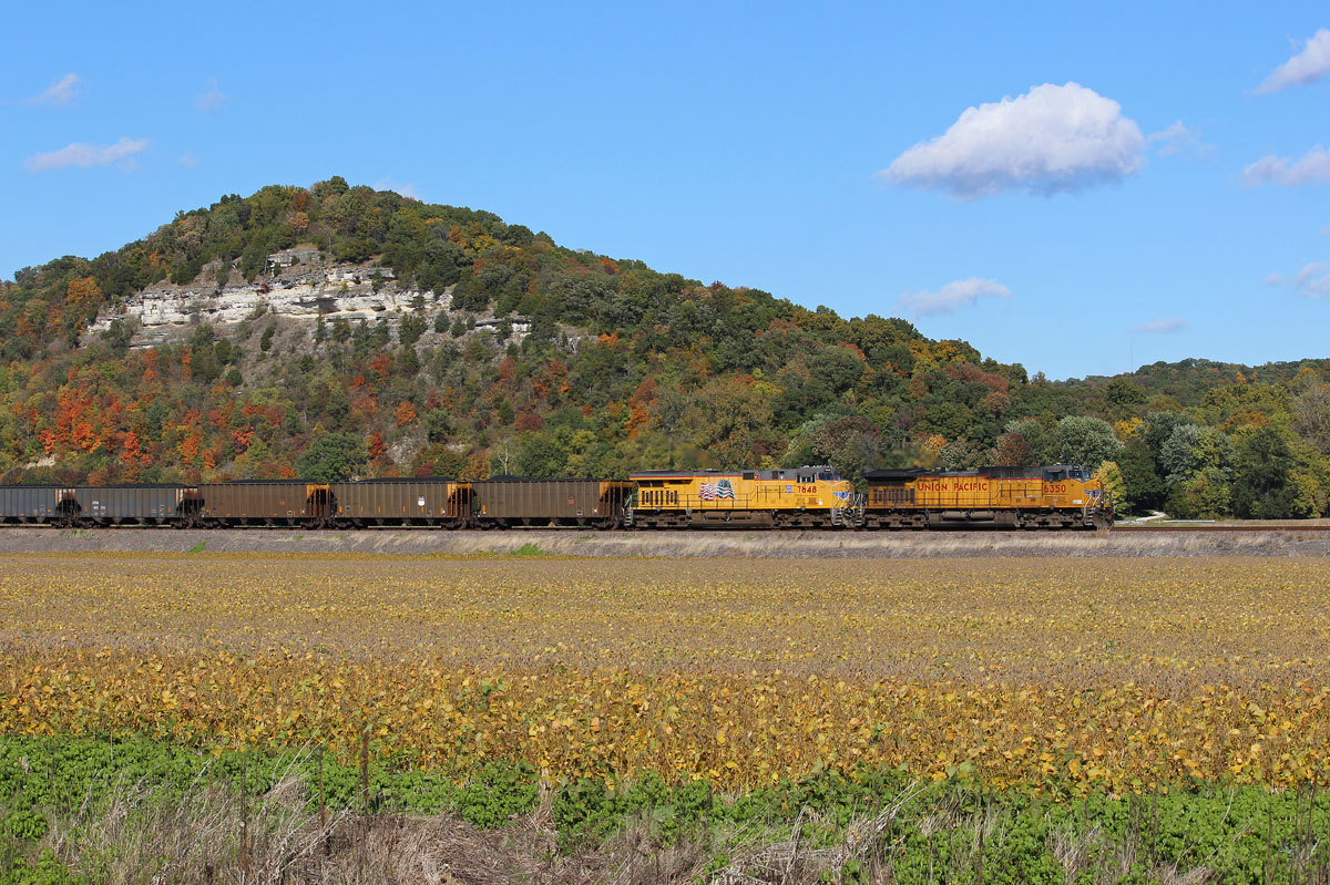
QASLI 19 Through the Illinois Farmland
Pose for your portrait
S. Ill Trip 014
CWETS1 16 at Val
Topographic Map of Waterloo, IL, USA
Find elevation by address:

Places in Waterloo, IL, USA:
Kk Rd, Waterloo, IL, USA
Kk Rd, Waterloo, IL, USA
Kk Rd, Waterloo, IL, USA
Kaskaskia Rd, Waterloo, IL, USA
Flower Street
Places near Waterloo, IL, USA:
Waterloo Rd, Waterloo, IL, USA
100 S Main St
Flower Street
150 Westview Pl
711 Mahala Dr
10 Mary Ct
1436 Gilmore Lake Rd
9309 Coach Stop Rd
3520 Keim Rd
1631 Clover Ridge
D Rd, Waterloo, IL, USA
1506 Shadow Ridge
Columbia, IL, USA
Millstadt Township
4 Old Stone Rd
4 Old Stone Rd
Hanover Rd, Columbia, IL, USA
Columbia
340 Parkway Dr
518 Wilson Dr
Recent Searches:
- Elevation of Congressional Dr, Stevensville, MD, USA
- Elevation of Bellview Rd, McLean, VA, USA
- Elevation of Stage Island Rd, Chatham, MA, USA
- Elevation of Shibuya Scramble Crossing, 21 Udagawacho, Shibuya City, Tokyo -, Japan
- Elevation of Jadagoniai, Kaunas District Municipality, Lithuania
- Elevation of Pagonija rock, Kranto 7-oji g. 8"N, Kaunas, Lithuania
- Elevation of Co Rd 87, Jamestown, CO, USA
- Elevation of Tenjo, Cundinamarca, Colombia
- Elevation of Côte-des-Neiges, Montreal, QC H4A 3J6, Canada
- Elevation of Bobcat Dr, Helena, MT, USA