Elevation of Waterloo Rd, Waterloo, IL, USA
Location: United States > Illinois > Monroe County >
Longitude: -90.149997
Latitude: 38.3359708
Elevation: 216m / 709feet
Barometric Pressure: 99KPa
Elevation Map:
Satellite Map:
Related Photos:

Sideways snow
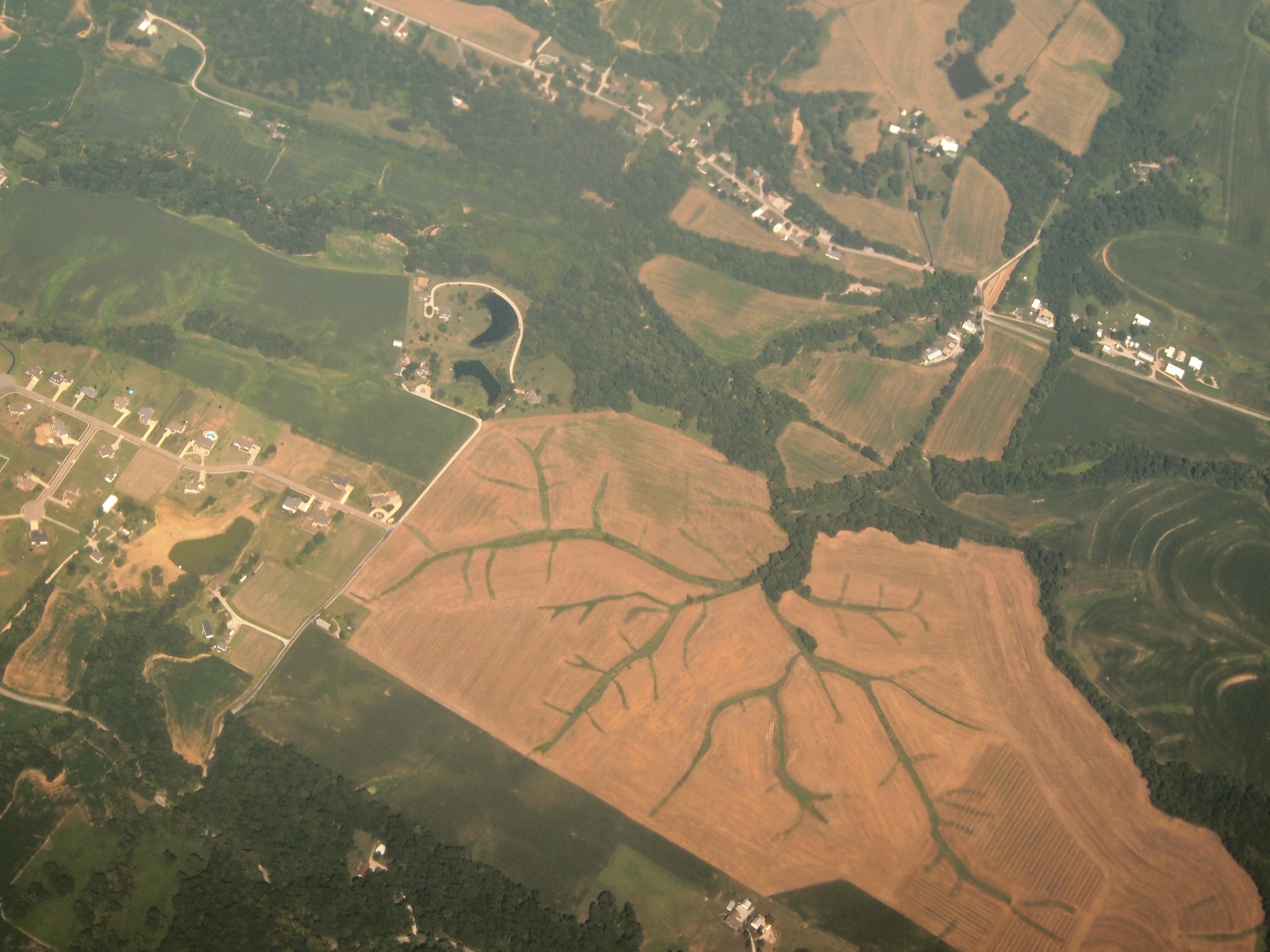
Aerial View of Dendritic Landscape off Gall Rd. South of Columbia, IL_P8025094

SP 8014
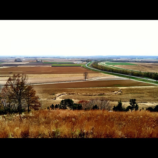
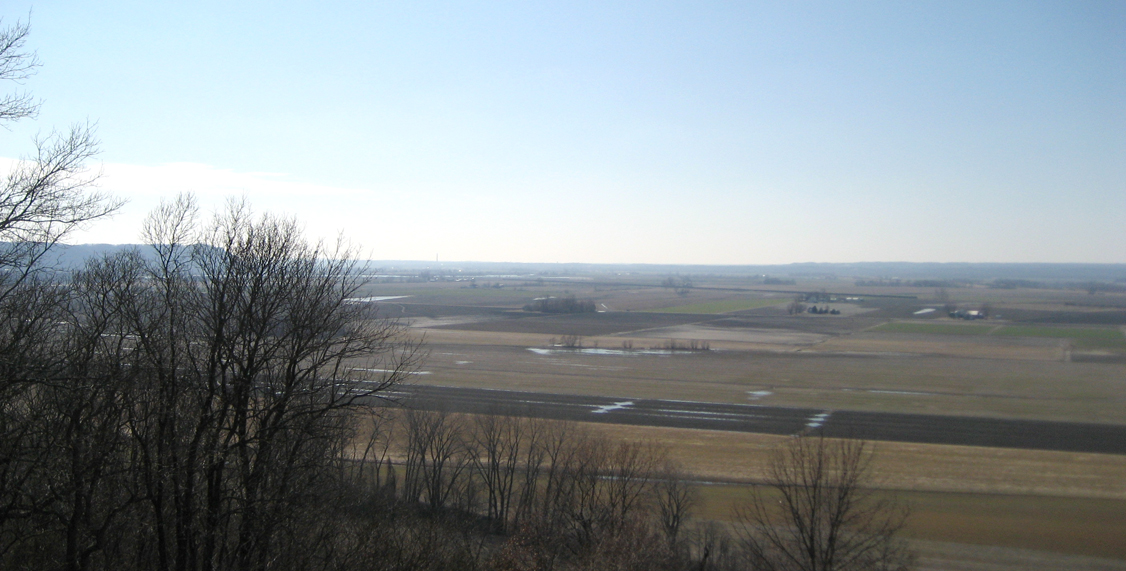
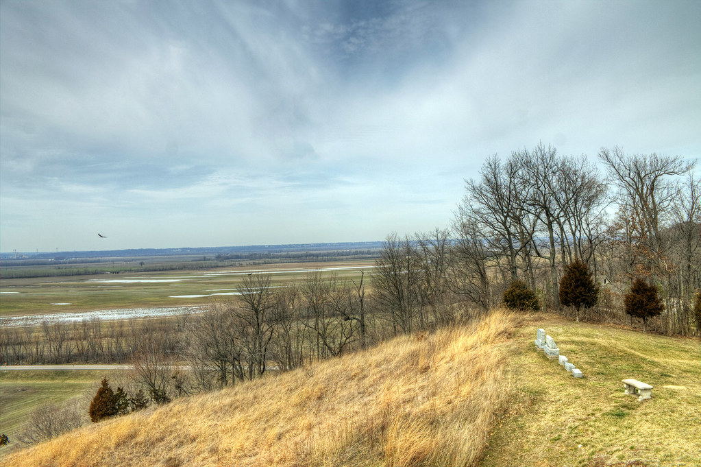
View from the top!
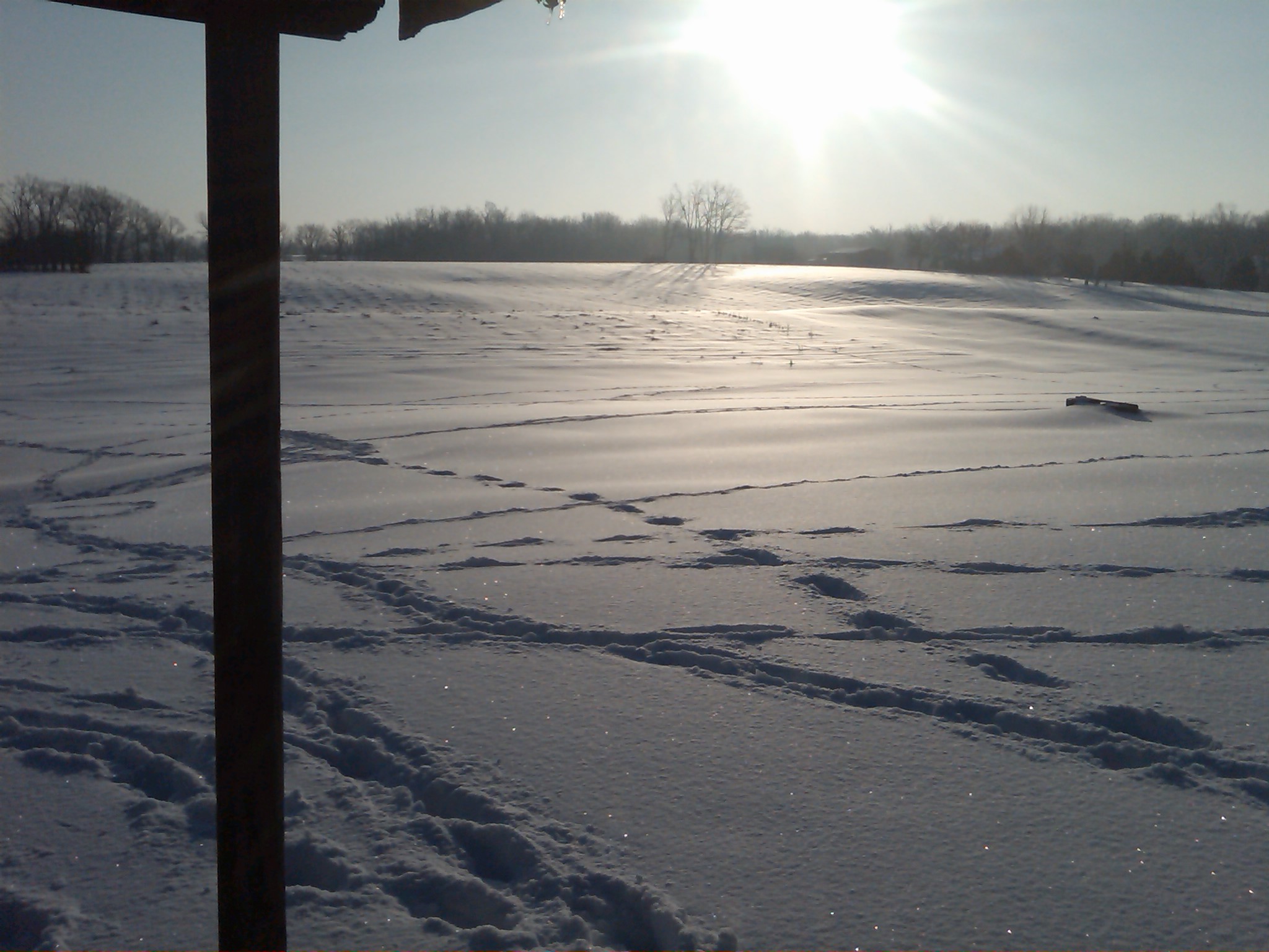
Snow view 2
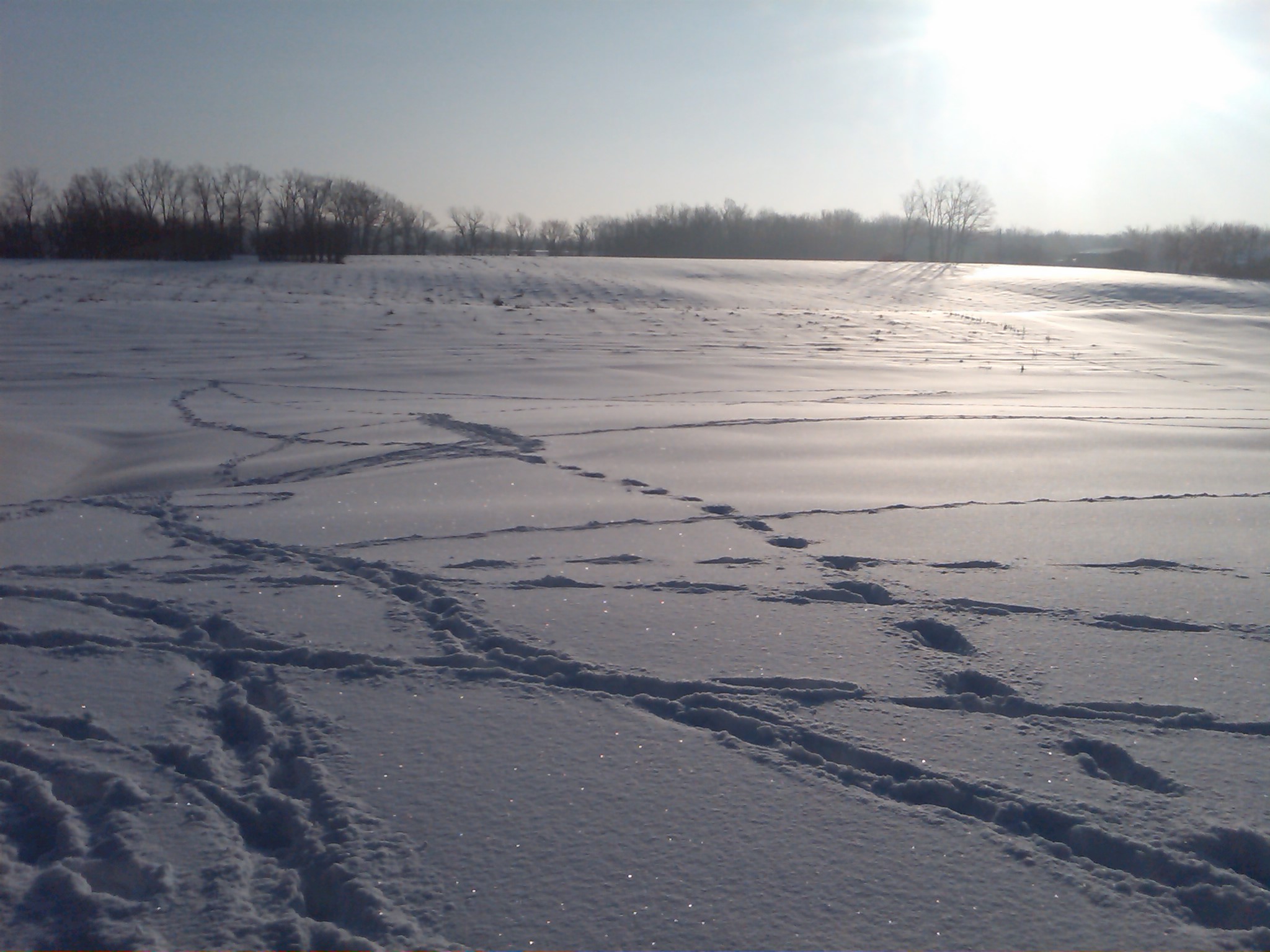
Snow view 1
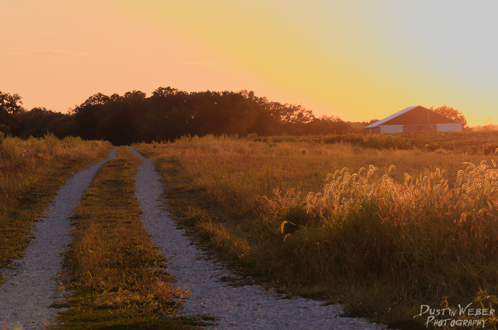
Sunset Road
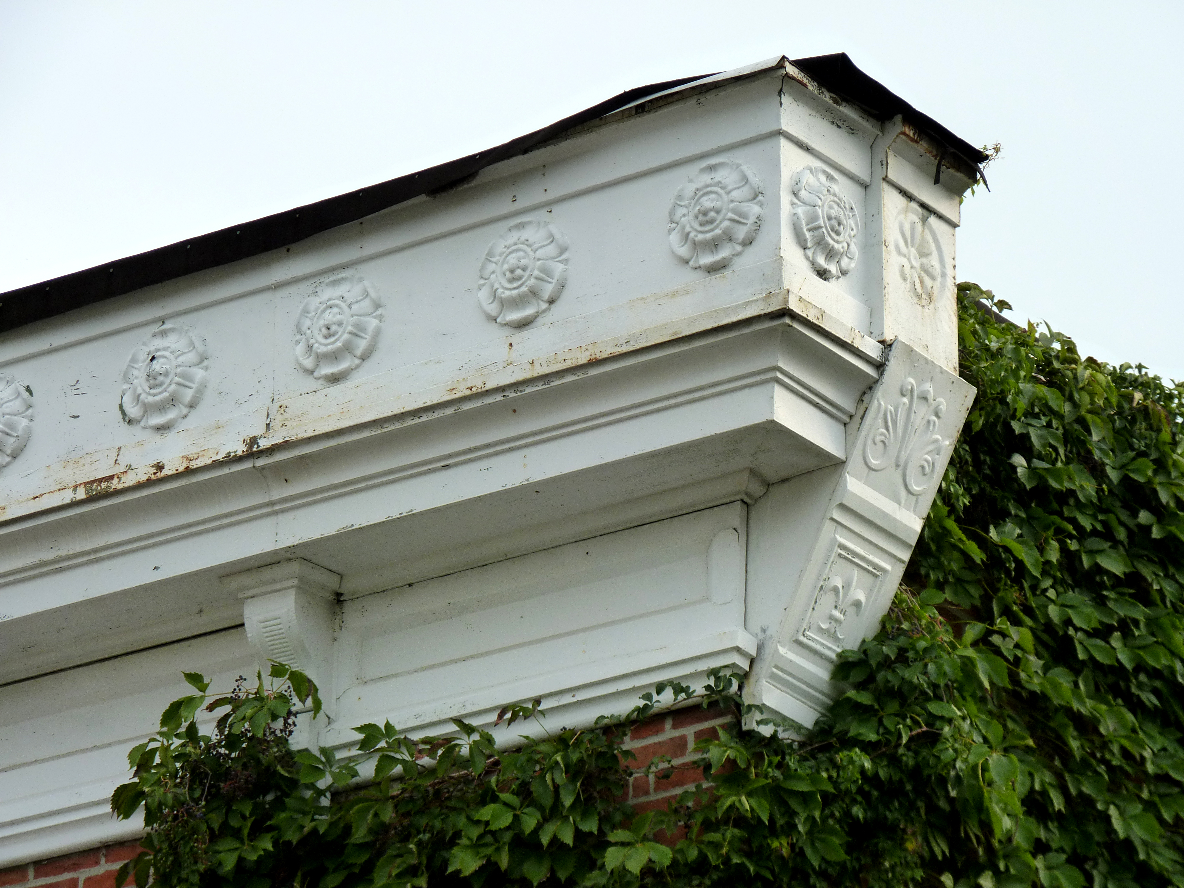
603 S. Main, Columbia, IL

Mississippi River bottoms
Mississippi River bottoms
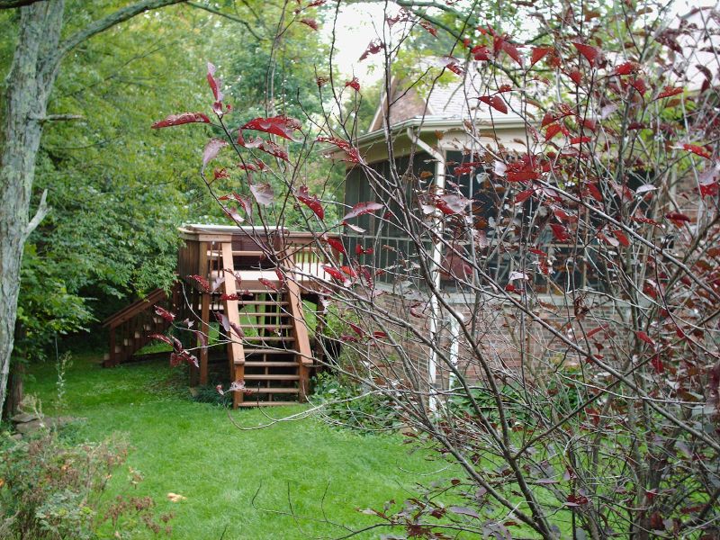
Back deck (view from pool)

The view from my office for the day. Tracking for the new @bethbombara rekkid w/@kithamon @caribou32 and @keggers5000 #drums #gigs #onthejob

Stormy Sunset
Theater -> Bank -> ???

MASEW 25
Open Spaces
Valley Fog

Midwest sunset sky

CNAIM9 13

Sunset storms
Fading away

AEGAS 16

1 November 2013, Columbia, IL 001

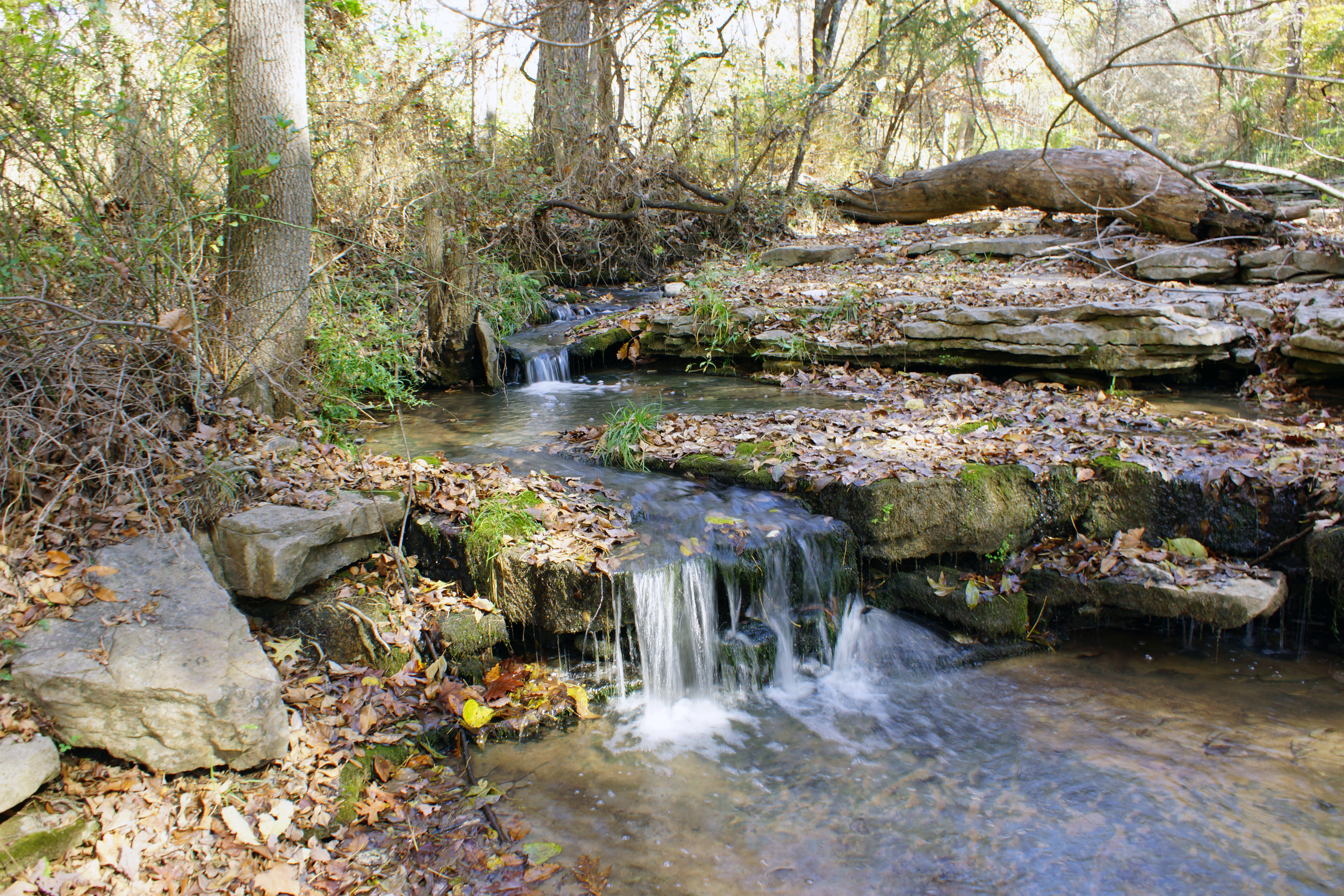
Creek 2
Miles Cemetery

Waterloo Waterworks
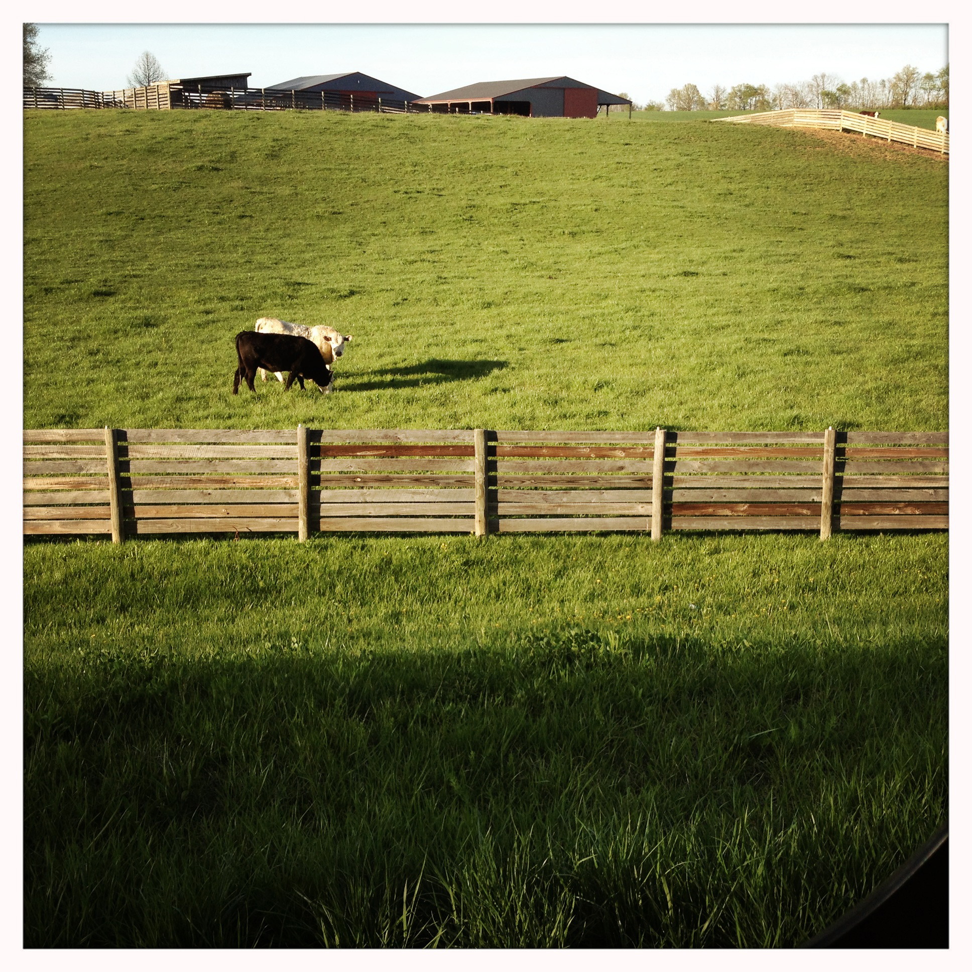
I, too, like cows
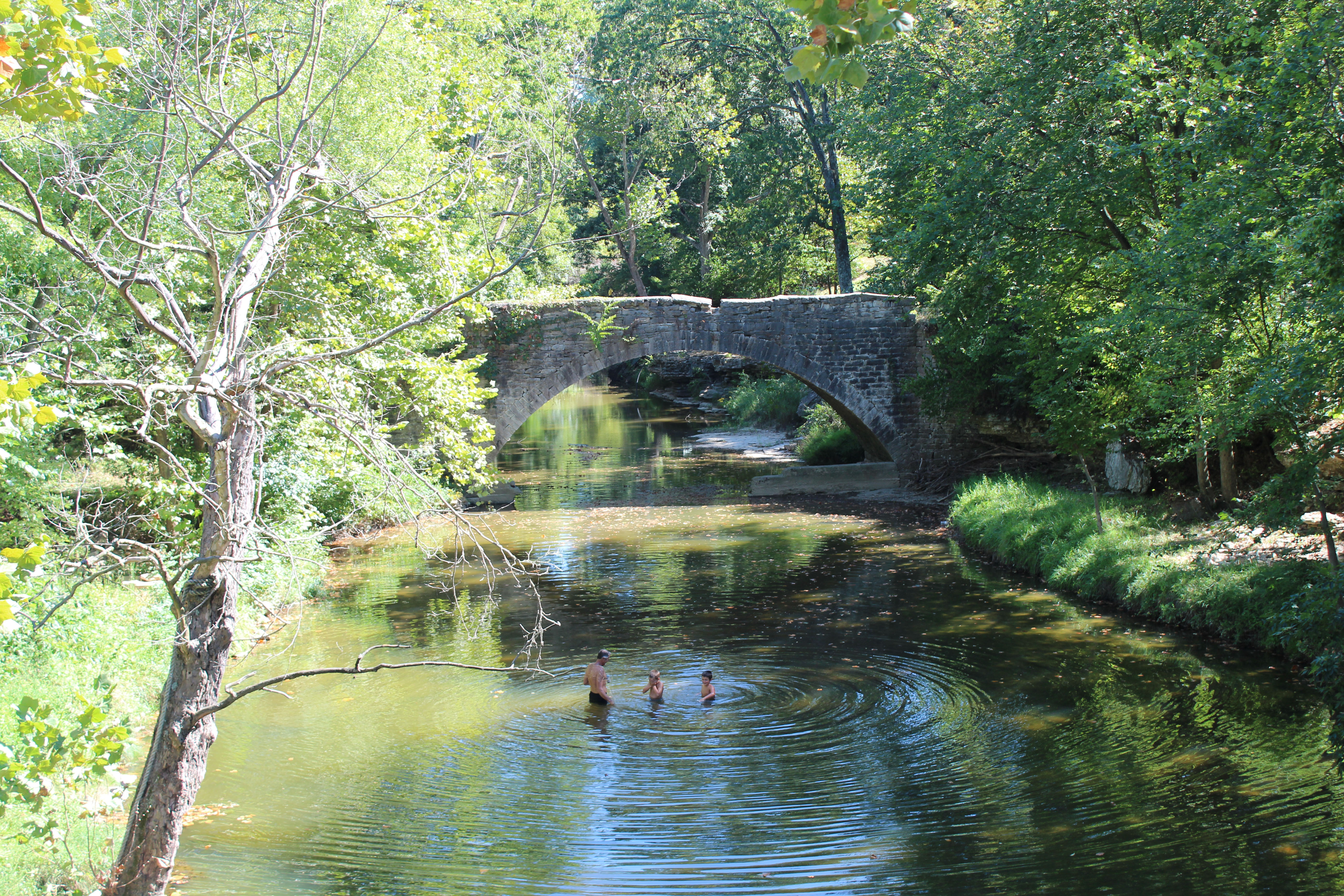
Fountain Creek Bridge

Skormy Sties
Creek 1
Topographic Map of Waterloo Rd, Waterloo, IL, USA
Find elevation by address:

Places near Waterloo Rd, Waterloo, IL, USA:
Waterloo
100 S Main St
Flower Street
150 Westview Pl
711 Mahala Dr
10 Mary Ct
1436 Gilmore Lake Rd
9309 Coach Stop Rd
3520 Keim Rd
1631 Clover Ridge
D Rd, Waterloo, IL, USA
1506 Shadow Ridge
Columbia, IL, USA
Millstadt Township
4 Old Stone Rd
4 Old Stone Rd
Hanover Rd, Columbia, IL, USA
Columbia
340 Parkway Dr
518 Wilson Dr
Recent Searches:
- Elevation of Congressional Dr, Stevensville, MD, USA
- Elevation of Bellview Rd, McLean, VA, USA
- Elevation of Stage Island Rd, Chatham, MA, USA
- Elevation of Shibuya Scramble Crossing, 21 Udagawacho, Shibuya City, Tokyo -, Japan
- Elevation of Jadagoniai, Kaunas District Municipality, Lithuania
- Elevation of Pagonija rock, Kranto 7-oji g. 8"N, Kaunas, Lithuania
- Elevation of Co Rd 87, Jamestown, CO, USA
- Elevation of Tenjo, Cundinamarca, Colombia
- Elevation of Côte-des-Neiges, Montreal, QC H4A 3J6, Canada
- Elevation of Bobcat Dr, Helena, MT, USA