Elevation of Monroe County, IL, USA
Location: United States > Illinois >
Longitude: -90.186964
Latitude: 38.2742526
Elevation: 206m / 676feet
Barometric Pressure: 99KPa
Elevation Map:
Satellite Map:
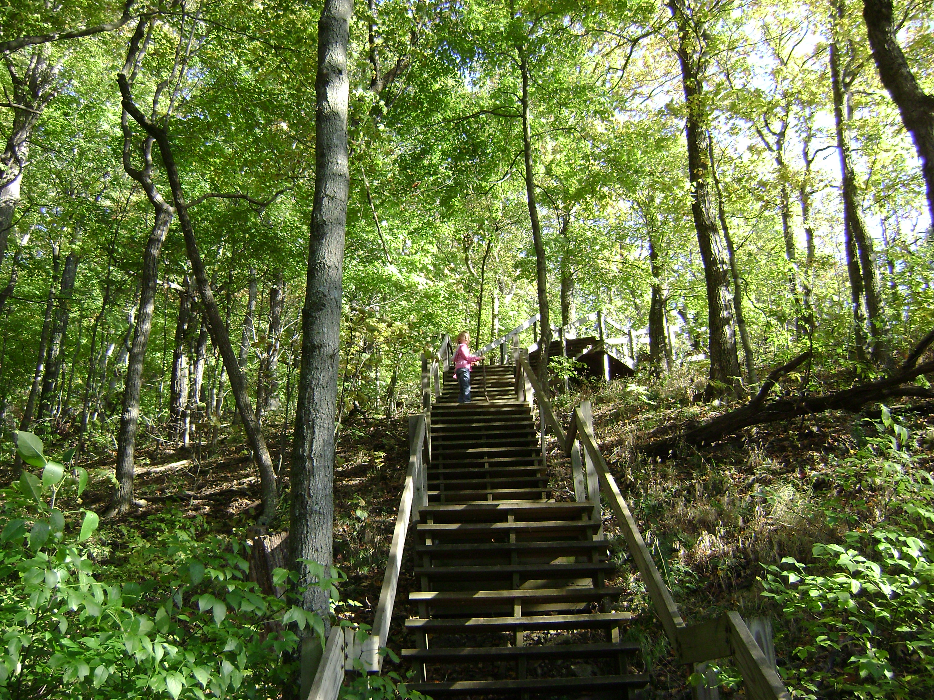
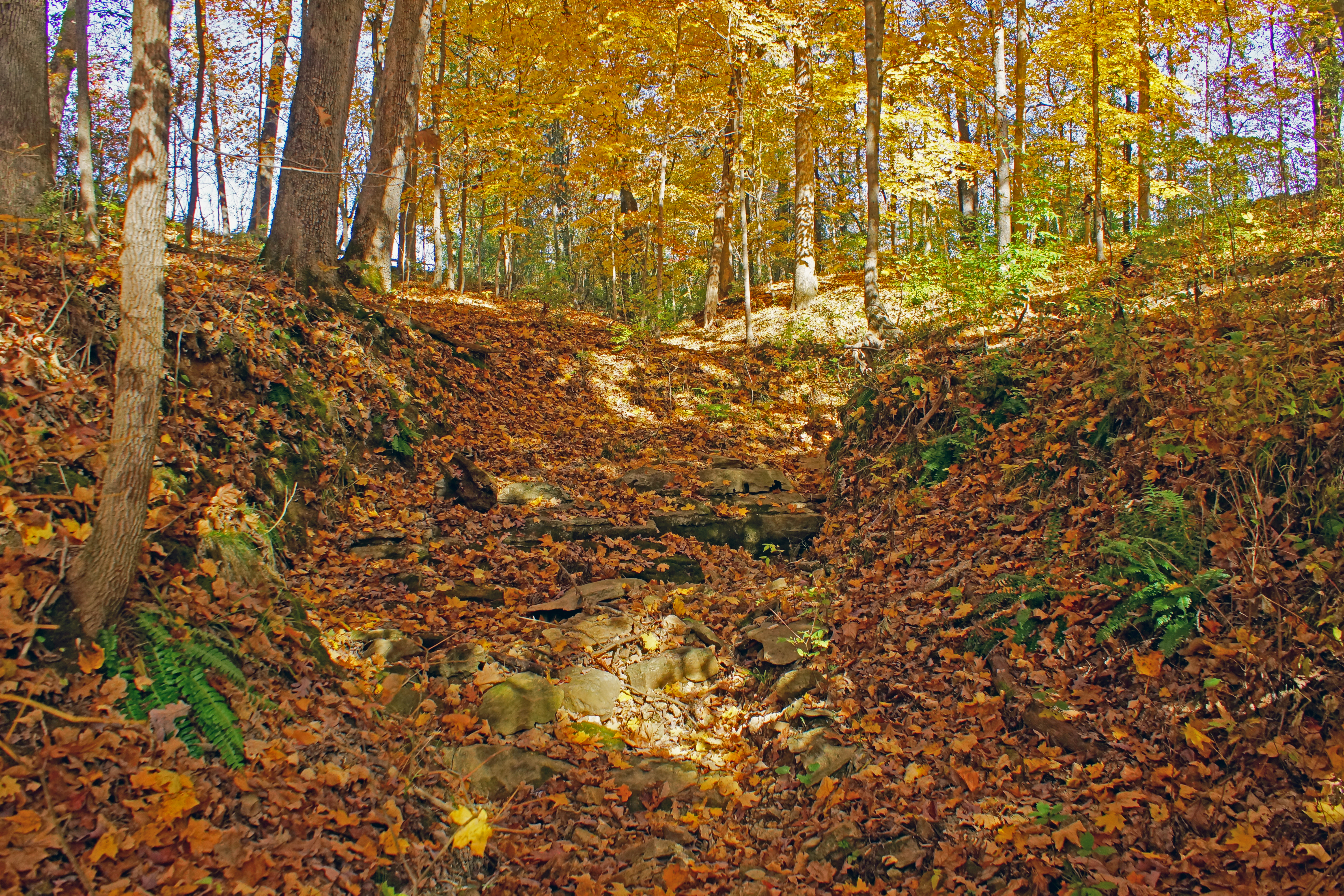
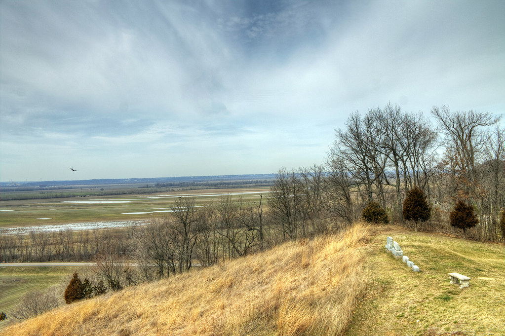
Related Photos:
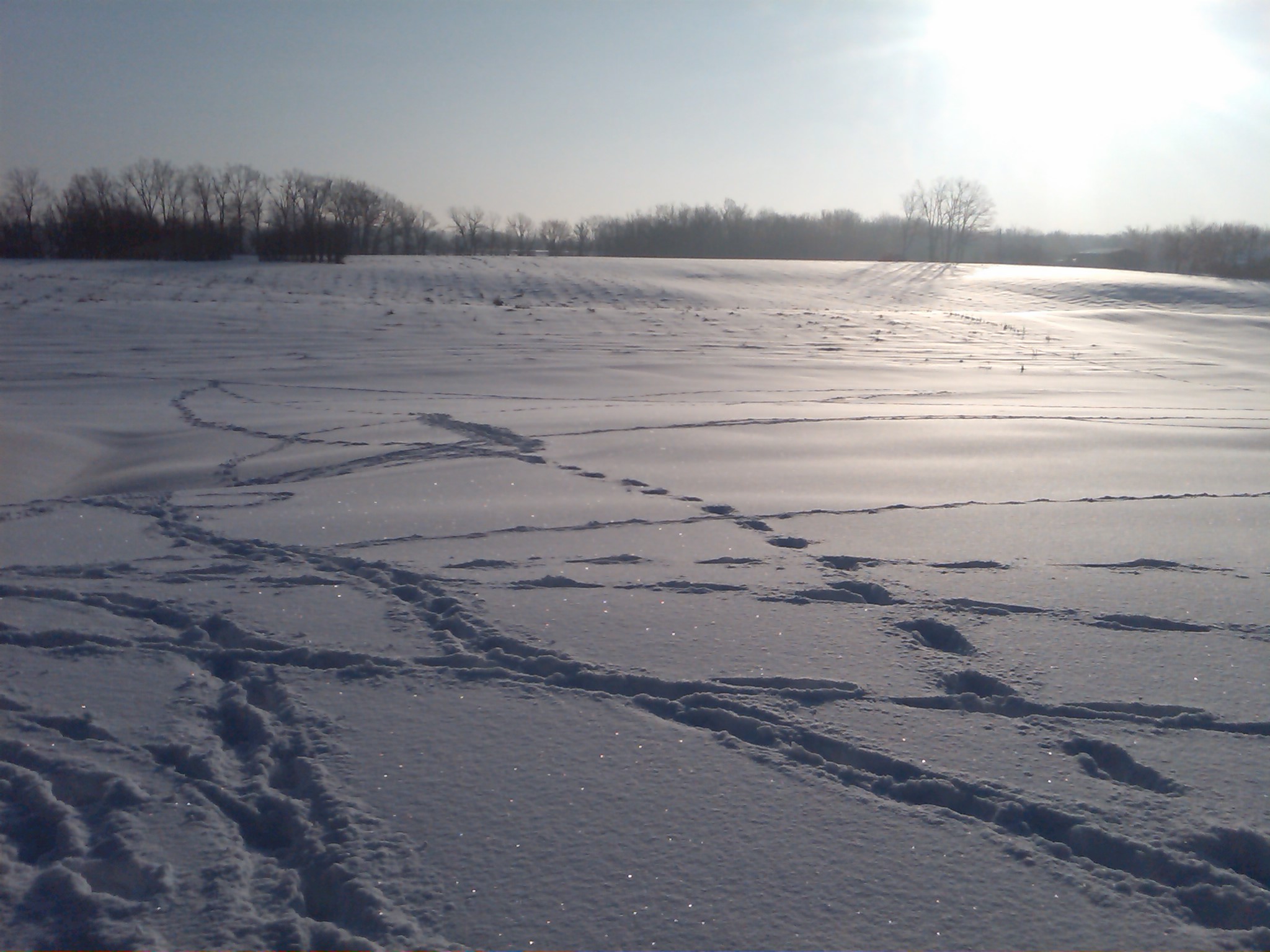
Snow view 2
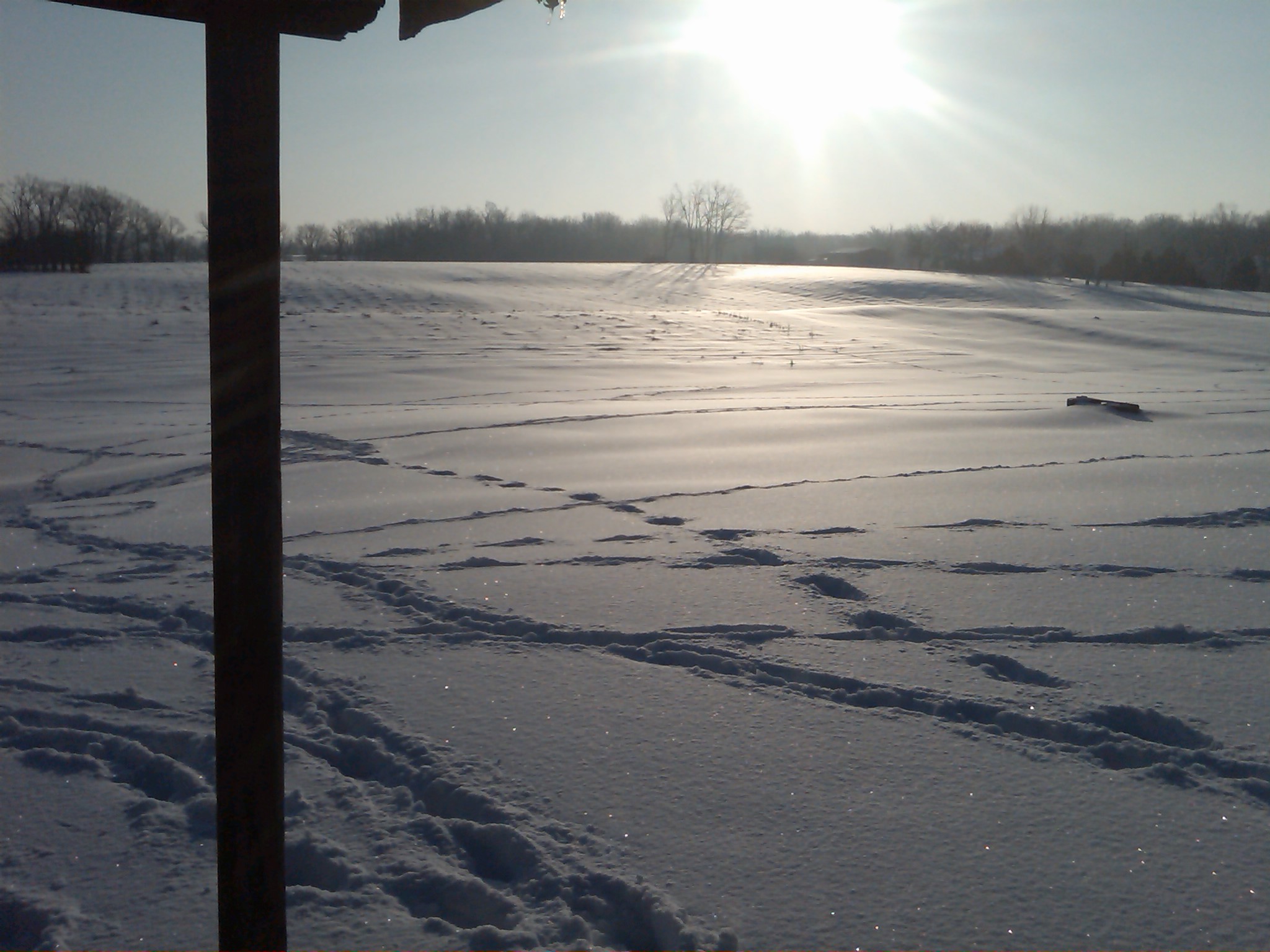
Snow view 1

S. Ill Trip 192
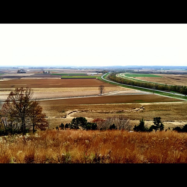
View from the top!

Sunset Road
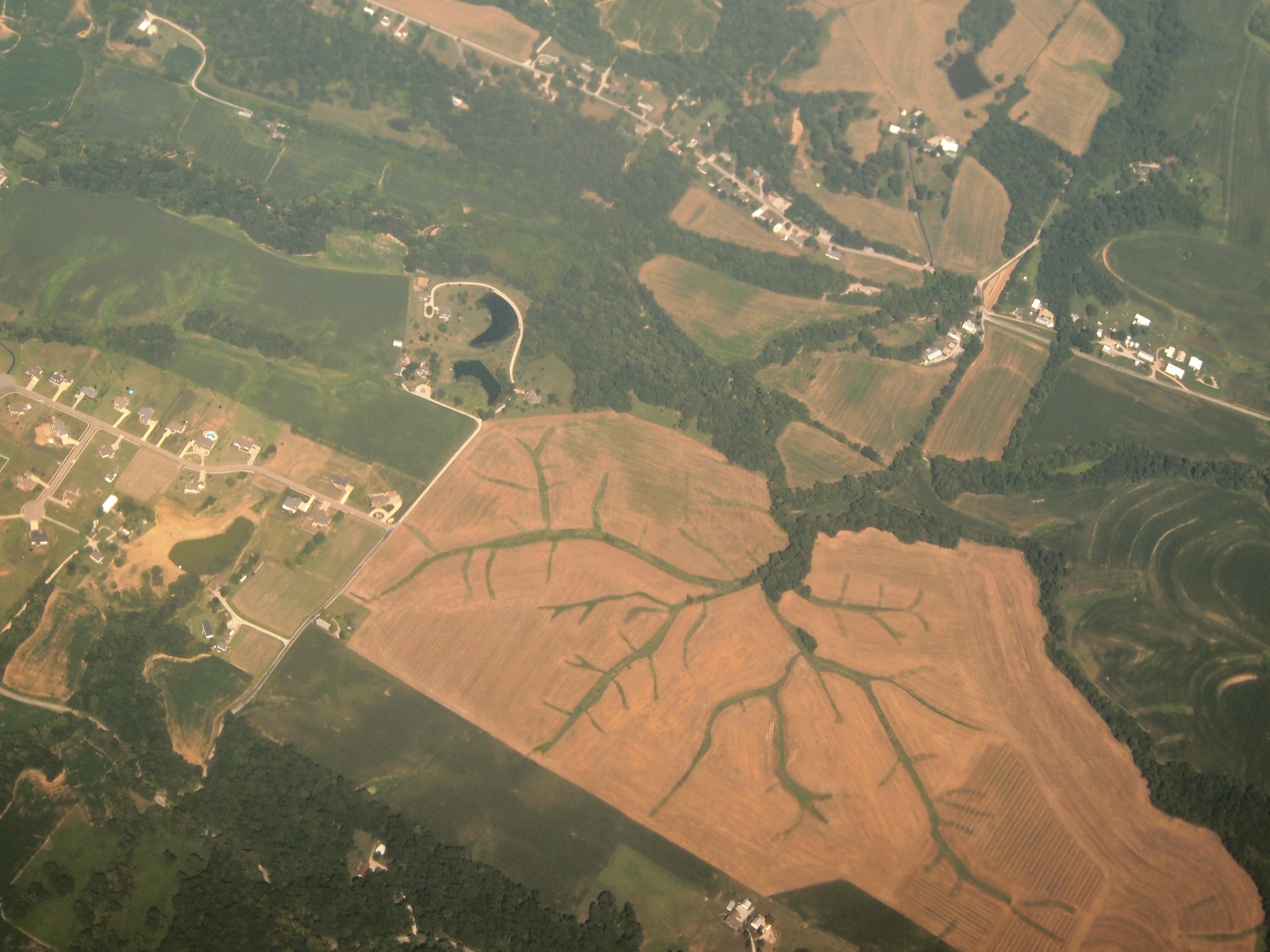
Aerial View of Dendritic Landscape off Gall Rd. South of Columbia, IL_P8025094

Mississippi River bottoms
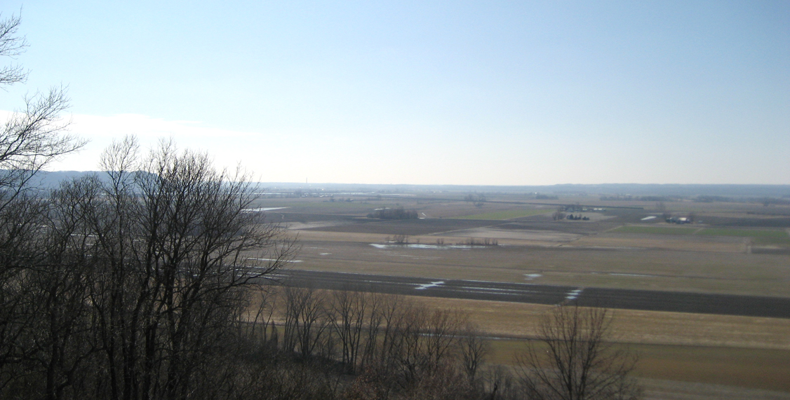
Mississippi River bottoms

Last One Standing

CNAIM9 13

Sunset storms

Open Spaces
S. Ill Trip 151

Existential Sermon

Red sky morning fog
Fading away

AEGAS 16

1 November 2013, Columbia, IL 001

Creek 2
Miles Cemetery

Waterloo Waterworks
Fountain Creek Bridge

Skormy Sties

Melting ice

QASLI 19 Through the Illinois Farmland
Topographic Map of Monroe County, IL, USA
Find elevation by address:

Places in Monroe County, IL, USA:
Waterloo
Red Bud
Columbia
Fults
Valmeyer
Prairie Du Rocher
Waterloo Rd, Waterloo, IL, USA
D Rd, Waterloo, IL, USA
Places near Monroe County, IL, USA:
Kaskaskia Rd, Waterloo, IL, USA
10 Mary Ct
Kk Rd, Waterloo, IL, USA
150 Westview Pl
Kk Rd, Waterloo, IL, USA
Flower Street
100 S Main St
Waterloo Rd, Waterloo, IL, USA
Waterloo
5667 Il-3
Kk Rd, Waterloo, IL, USA
711 Mahala Dr
5163 Il-3
Valmeyer
Chalfin Bridge Rd, Fults, IL, USA
222 Church St
Fults
Ivy Rd, Fults, IL, USA
130 Main St
D Rd, Waterloo, IL, USA
Recent Searches:
- Elevation of Corso Fratelli Cairoli, 35, Macerata MC, Italy
- Elevation of Tallevast Rd, Sarasota, FL, USA
- Elevation of 4th St E, Sonoma, CA, USA
- Elevation of Black Hollow Rd, Pennsdale, PA, USA
- Elevation of Oakland Ave, Williamsport, PA, USA
- Elevation of Pedrógão Grande, Portugal
- Elevation of Klee Dr, Martinsburg, WV, USA
- Elevation of Via Roma, Pieranica CR, Italy
- Elevation of Tavkvetili Mountain, Georgia
- Elevation of Hartfords Bluff Cir, Mt Pleasant, SC, USA