Elevation of Red Bud, IL, USA
Location: United States > Illinois > Monroe County >
Longitude: -89.994274
Latitude: 38.2117172
Elevation: 144m / 472feet
Barometric Pressure: 100KPa
Elevation Map:
Satellite Map:
Related Photos:
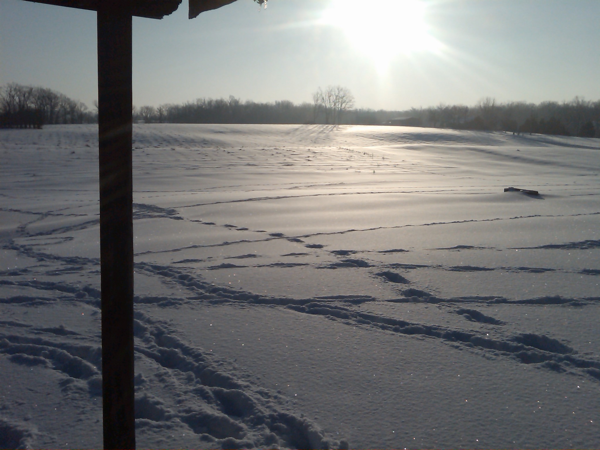
Snow view 2
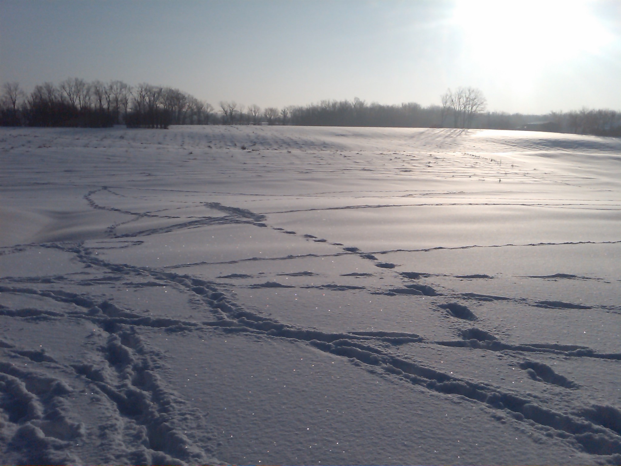
Snow view 1

The view from my office for the day. Tracking for the new @bethbombara rekkid w/@kithamon @caribou32 and @keggers5000 #drums #gigs #onthejob
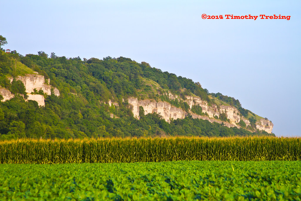
Mississippi River Bluffs

Casey's General Store - New Athens, IL_IMG_4140c

Sorry Motel Vintage Neon Sign - St. Clair County, IL_20160305_122059
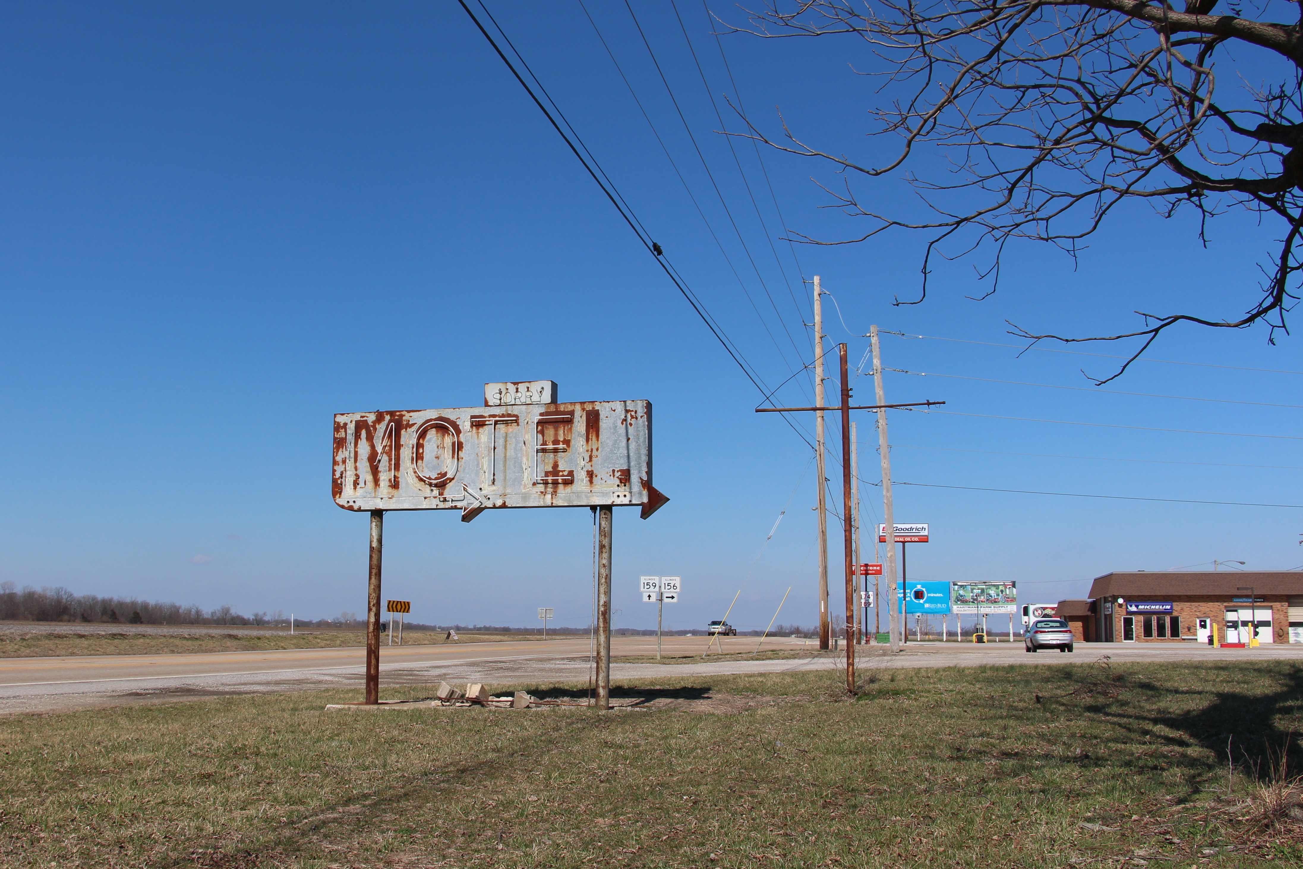
Vintage Neon Motel Sign with Arrow - St. Clair County, IL_IMG_4116c
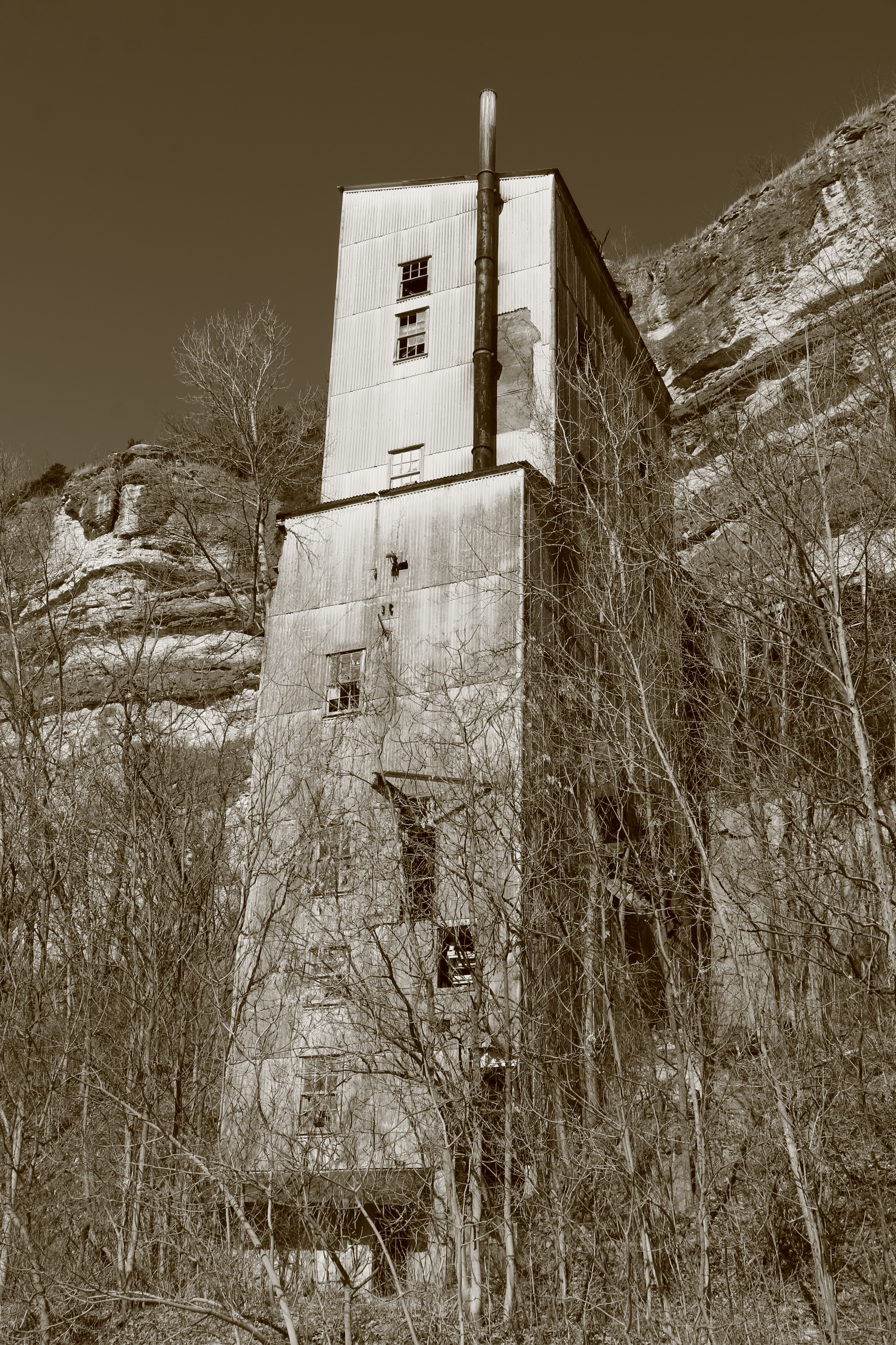
Abandoned mine building.

Little Church on the prairie and its history

St. John Lutheran Church

Jen Tepe

2015-01-23 10.33.01 1
Topographic Map of Red Bud, IL, USA
Find elevation by address:

Places in Red Bud, IL, USA:
Places near Red Bud, IL, USA:
207 S Oak St
201 E Pine St
Red Bud Precinct
5936 Edgewood Rd
2266 Kaiser Rd
8102 Risdon School Rd
Evansville Precinct
Lenzburg Township
Evansville
Liberty St, Evansville, IL, USA
207 S Market St
New Athens
N Benton St, New Athens, IL, USA
New Athens Township
Walsh Precinct
Smithton Consolidated School
Smithton
Nebo Road
St. Clair County
Smithton Township
Recent Searches:
- Elevation of Corso Fratelli Cairoli, 35, Macerata MC, Italy
- Elevation of Tallevast Rd, Sarasota, FL, USA
- Elevation of 4th St E, Sonoma, CA, USA
- Elevation of Black Hollow Rd, Pennsdale, PA, USA
- Elevation of Oakland Ave, Williamsport, PA, USA
- Elevation of Pedrógão Grande, Portugal
- Elevation of Klee Dr, Martinsburg, WV, USA
- Elevation of Via Roma, Pieranica CR, Italy
- Elevation of Tavkvetili Mountain, Georgia
- Elevation of Hartfords Bluff Cir, Mt Pleasant, SC, USA